Hard on the defunct gravel pit of the northwest side of the preserve is the deposit of glacial rocks washed to some extent by melting ice the former owners of the pit were turning over for profit with the averted result of destroying the water sources for the ecosystems of the future preserve.
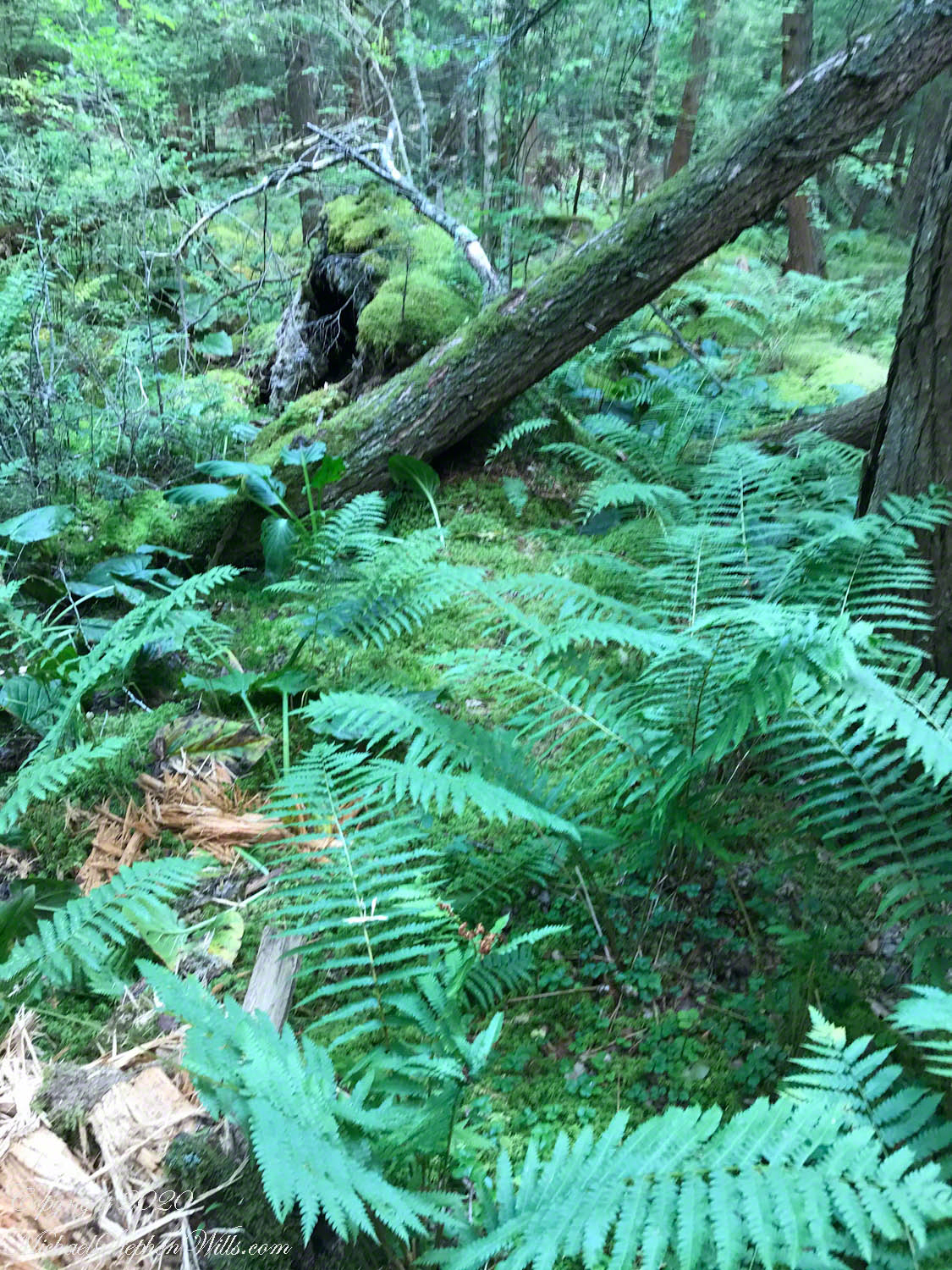
The deposit is called a kame. Kames are the obverse of kettles, formed with an enormous remnant of glacial ice melts in place leaving a substantial depression. A kame is formed when earth gathers in a depression formed by meltwater running over a glacial surface. When the glacier melts (in this area the ice wash a mile high), the washed earth is left as a steeply sided pile we experience as a hill.
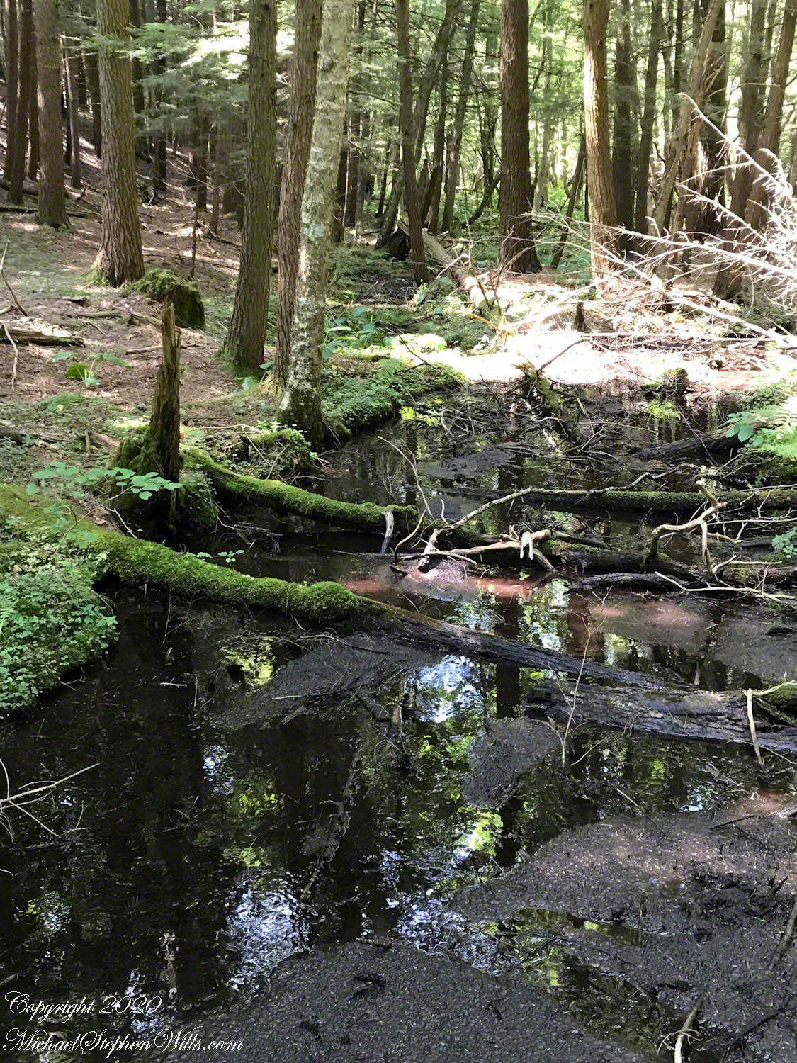
Water flowing beneath glaciers forms the long, ridged hills, eskers, we explored in yesterday’s post.
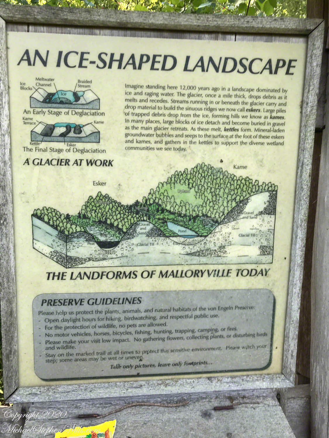
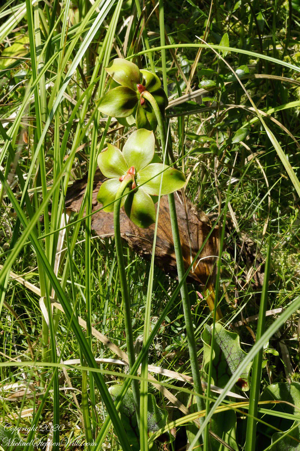
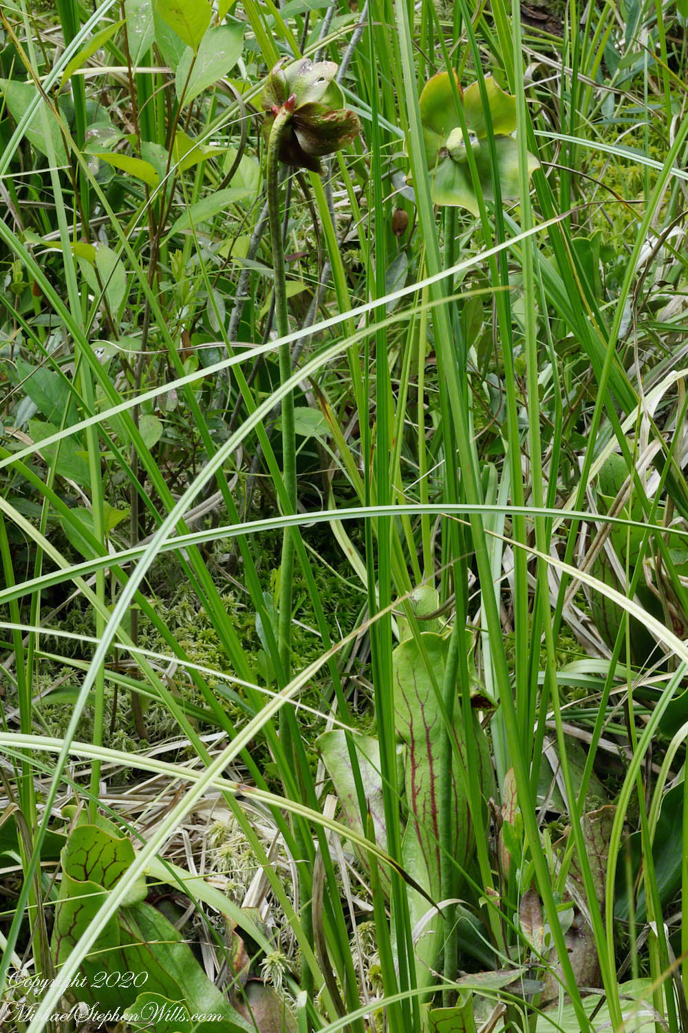
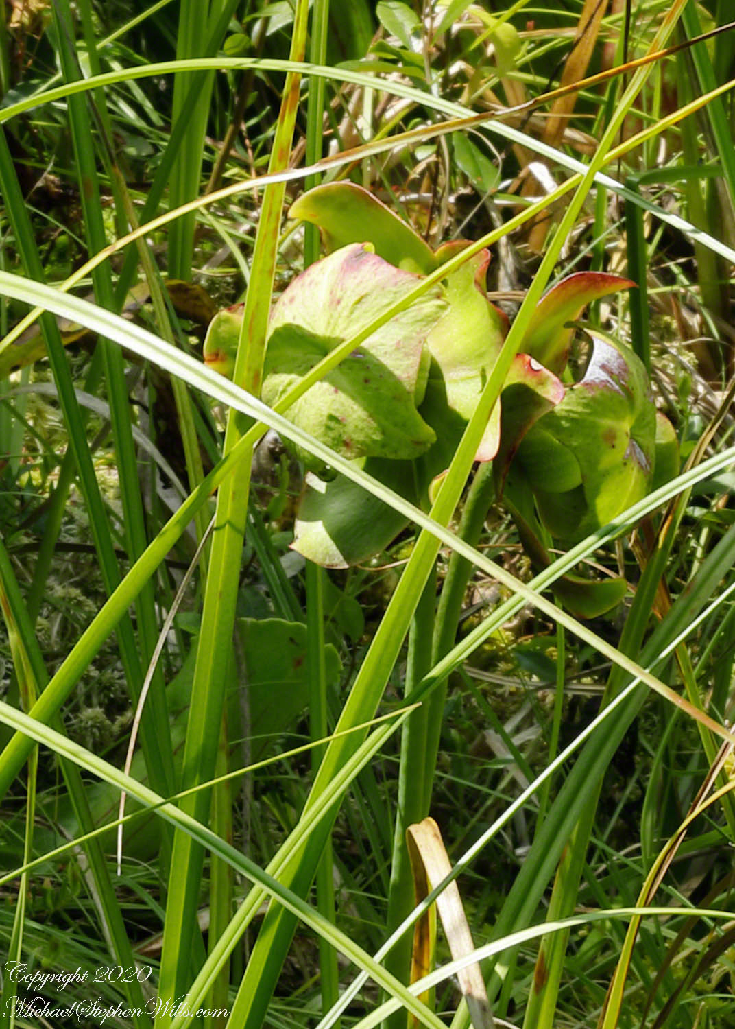
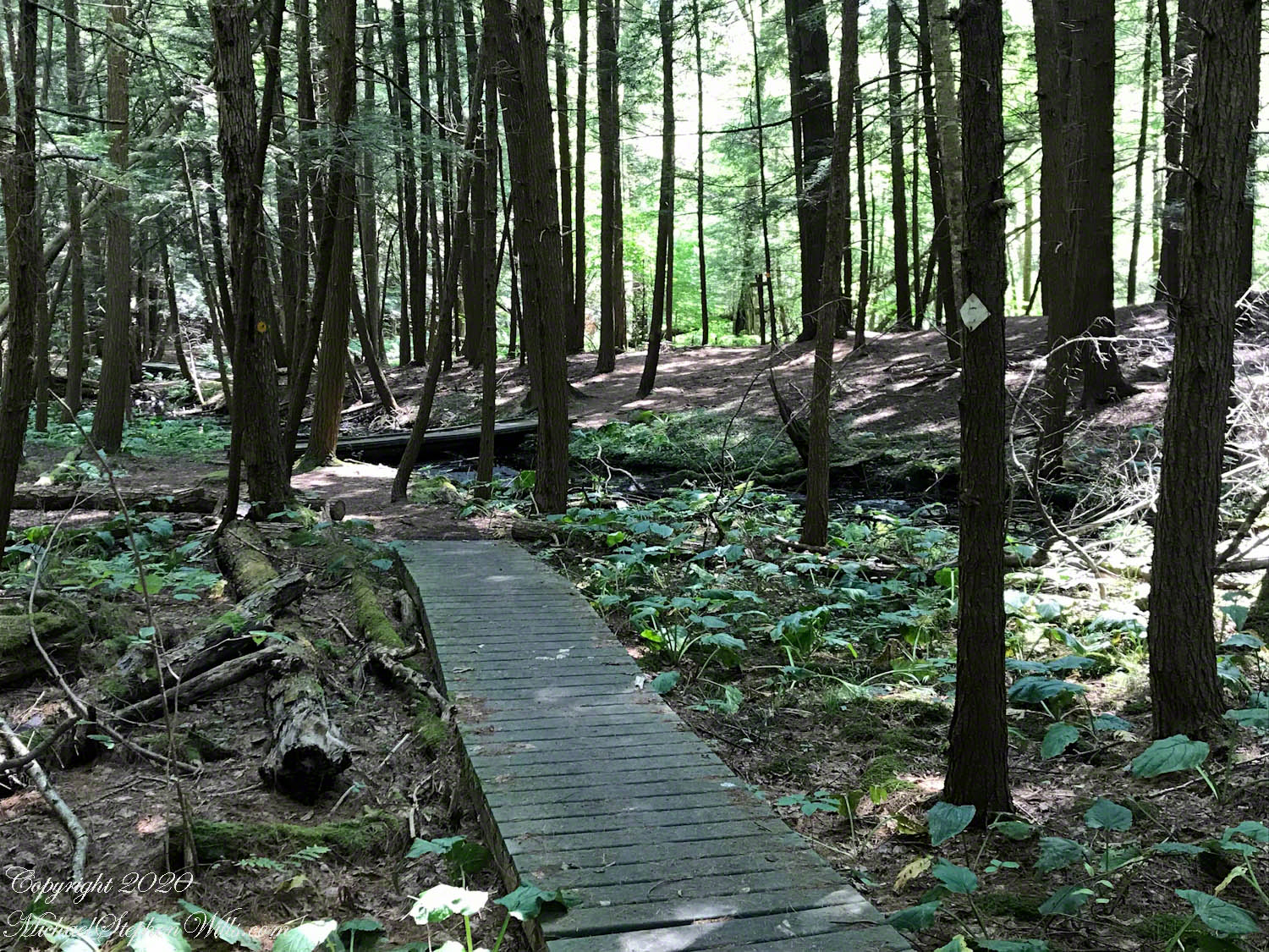
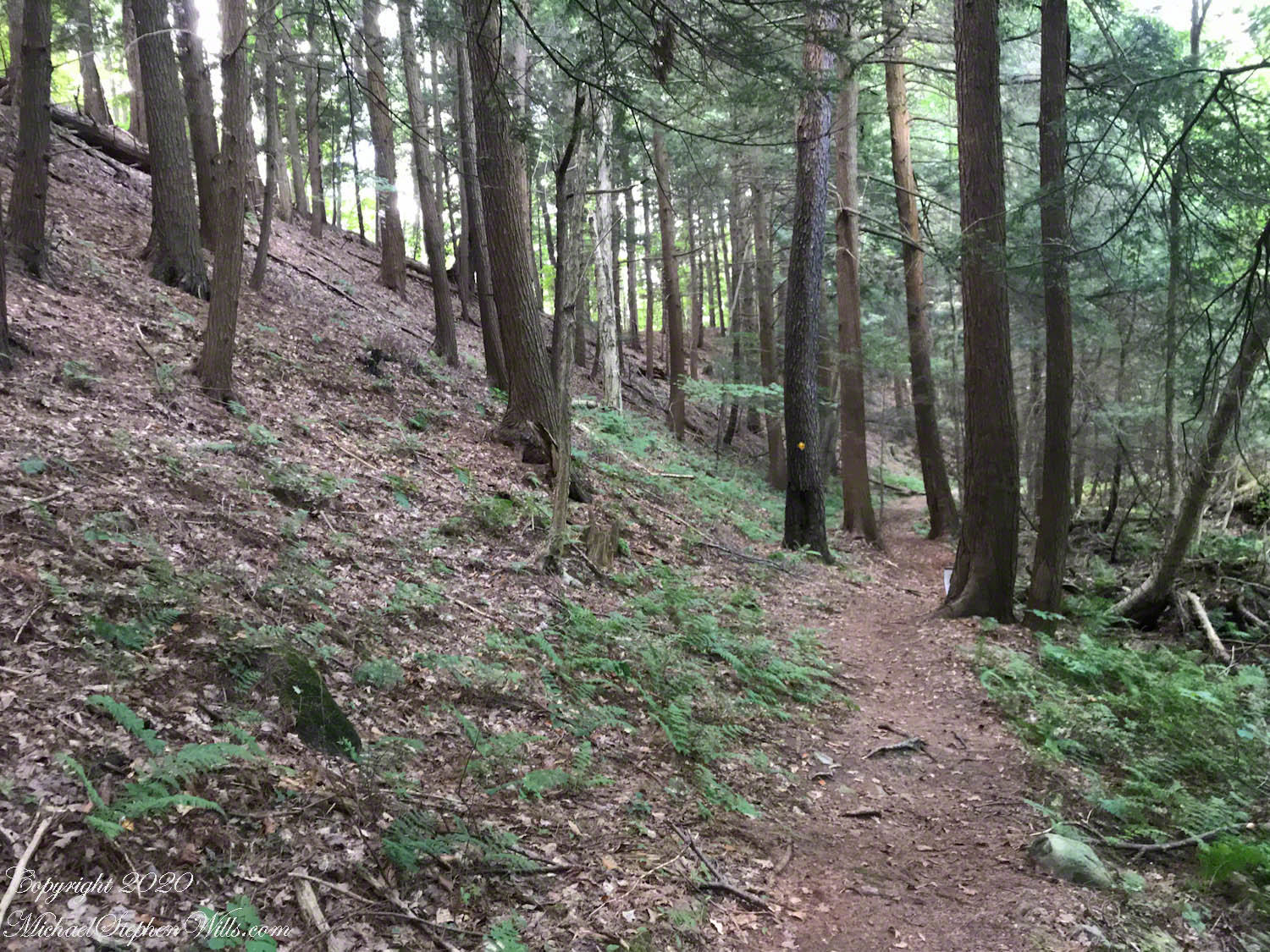
The forested land of this video the kame, upper left, shown in the header, an IPhone7 photograph of GoogleEarth. Also marked is a path for the primary esker, the bog formed by a kettle and another kettle that is now a pond. Click me to view a pdf file saved from GoogleEarth. It provides a clearer view of the header image.
Click me for better experience viewing the following video. To do this from WordPress Reader, you need to first click the title of this post to open a new page. Note the replay icon (an arrow circling counter-clockwise.
Click Me for the first post of this series.
Thank You for visiting. Here is a recapitulation of Malloryville Preserve.

It is indeed fascinating how ice and water shaped the land. I used to say that when I lived in Yorkshire where the moors really looked like huge waves. So many changes this Earth has gone through.
Miriam
LikeLiked by 3 people
I had the same feeling in Montana.
LikeLiked by 1 person
I taught 22 years in McCone County in eastern Montana. There was a dividing line in the middle of the county where the last glacial age had left evidence. North of the line, the glacial movement deposited tons of rocks. The farmers are still picking up rocks from their fields, and rock piles are numerous along the border of the wheat fields.
LikeLiked by 2 people
and the rocks are a mixture of all the places scraped….I have marble from Vermont mountains found on a Finger Lakes (New York) farm.
LikeLiked by 1 person