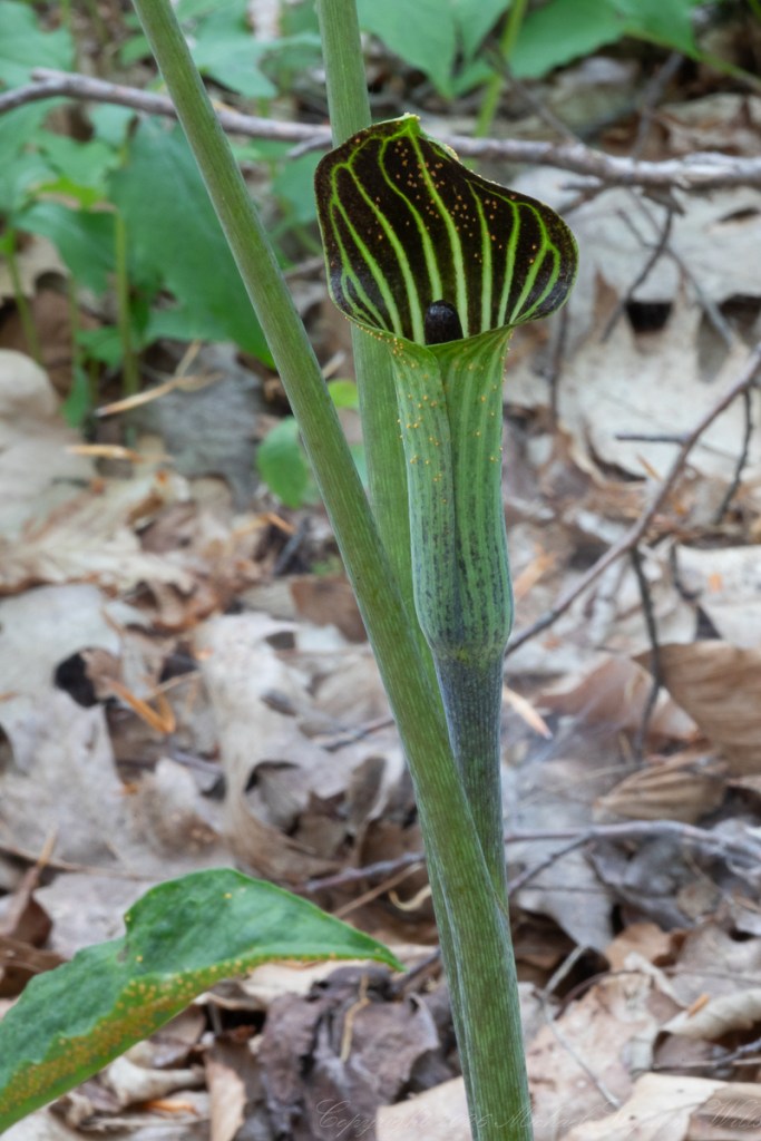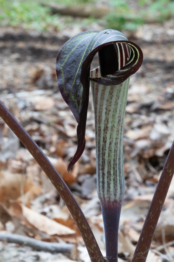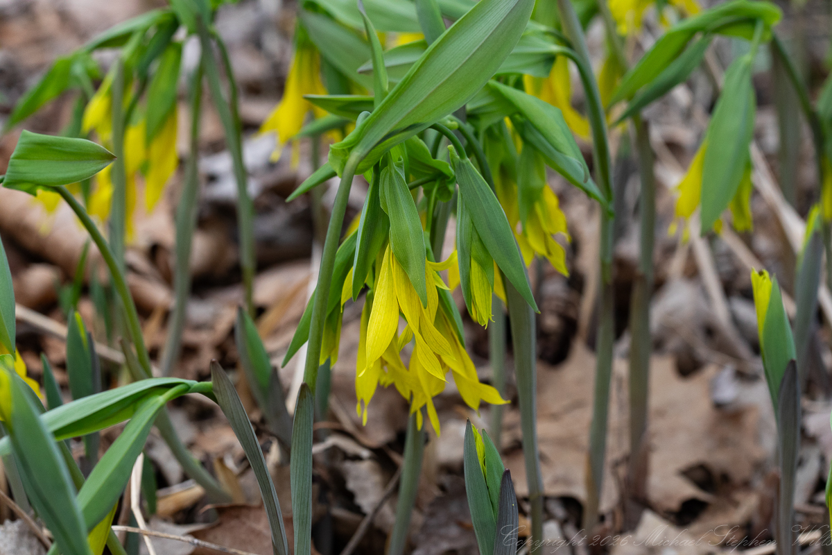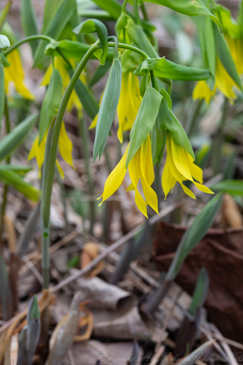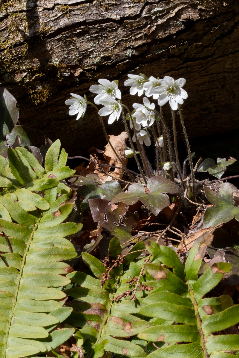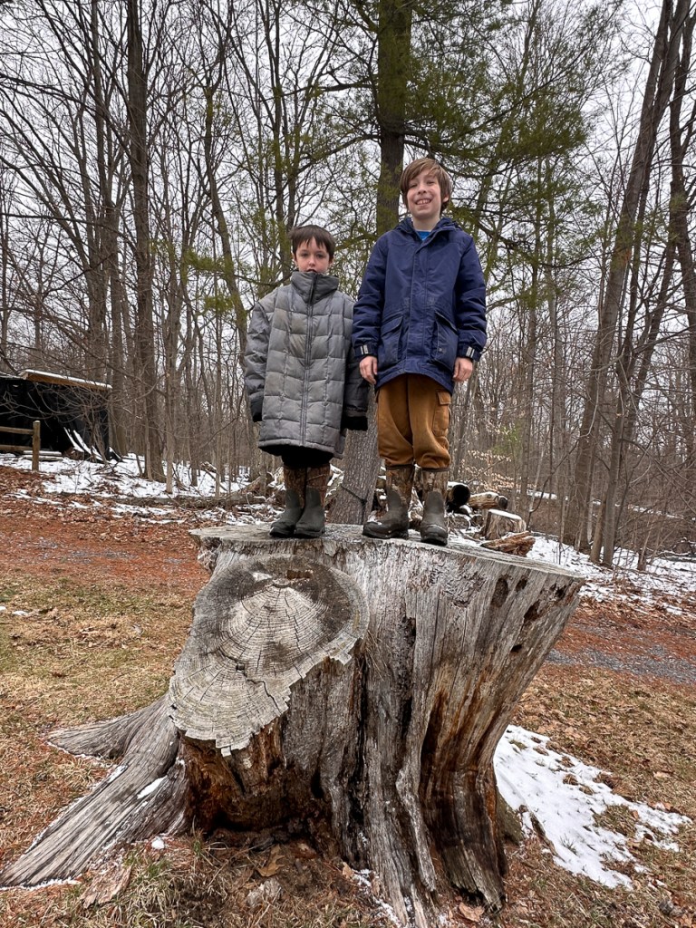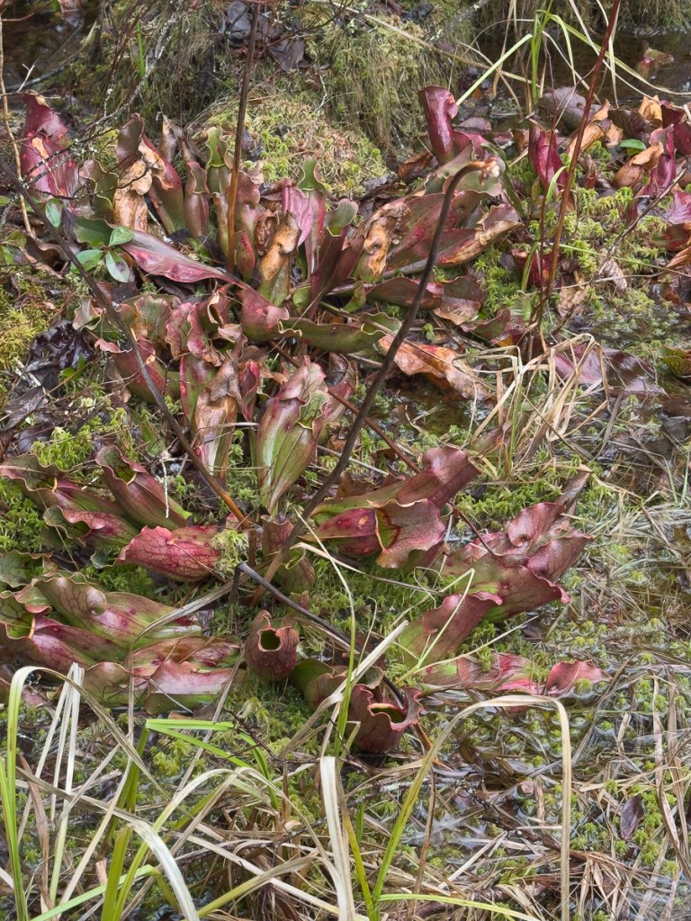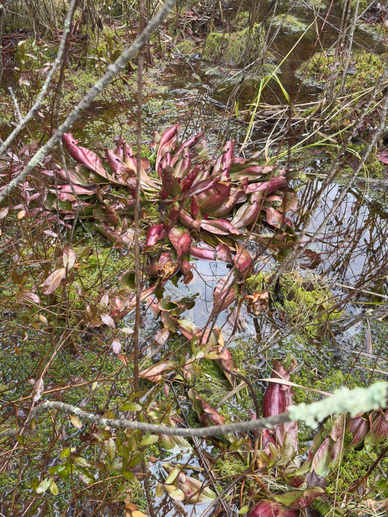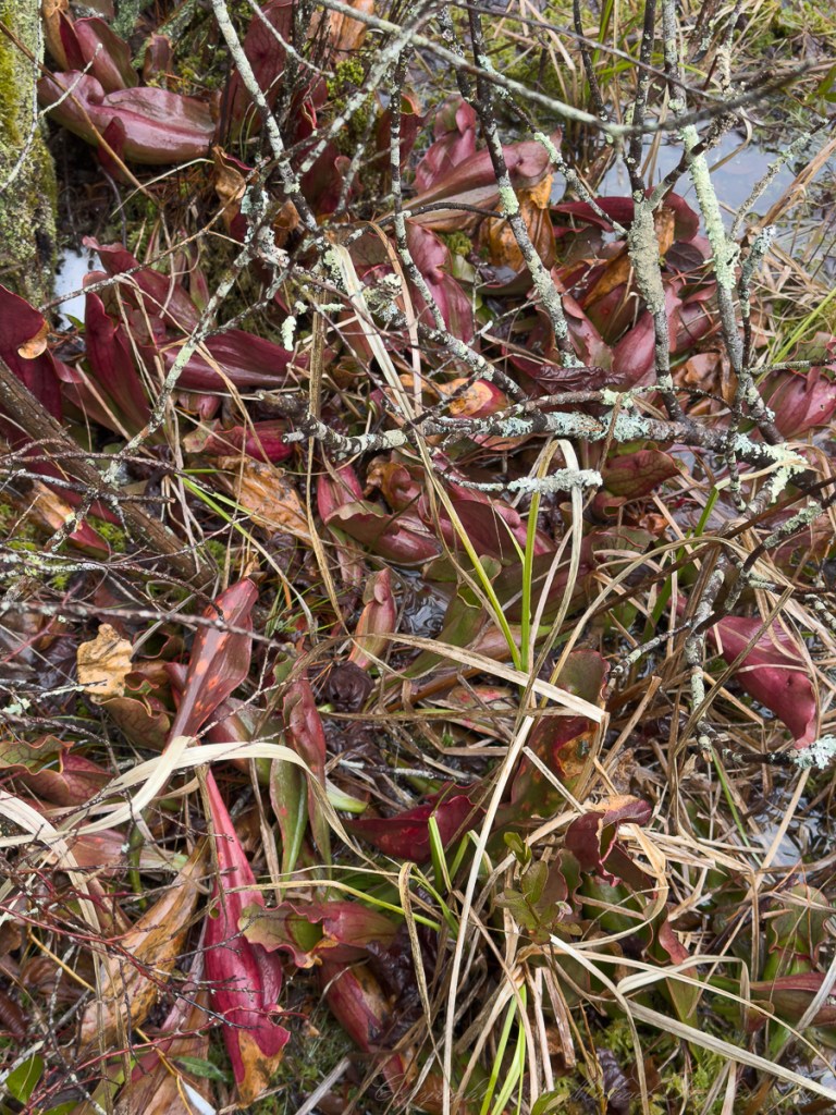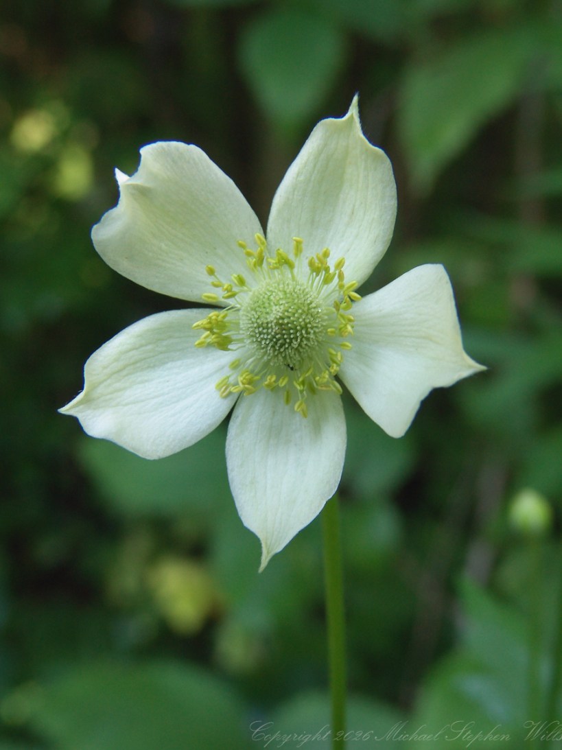
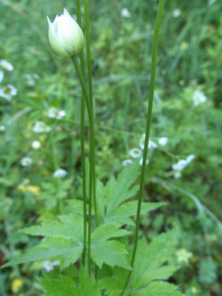
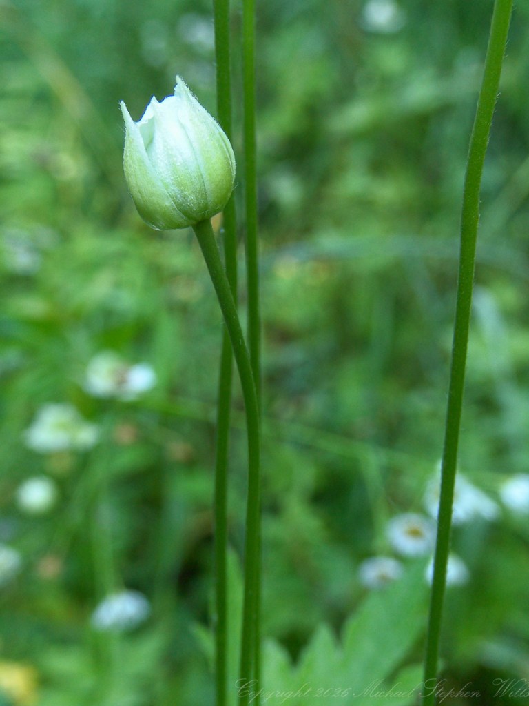
Along the long defunct railroad right of way at the O. D. von Engeln Preserve in Malloryville, Tompkins County, my 2005 photographs in the following gallery show thimbleweed, Anemone virginiana, in a world of green stillness. Made with a tripod-mounted Sony DSC-F828, they have the patient intimacy of deliberate looking. The camera holds close to one flower, then another stage of the same life, as if time itself had paused among the stems. One bloom faces the lens like a small moon with a green-gold sun at its center. Buds stand nearby, closed and expectant, like folded letters. Later frames reveal the flower after weather and time have touched it: sepals lifted and worn, stamens loosened, dew clinging to the stem, the seed head beginning its bristling ascent. The plant is caught mid-transformation, a white flame becoming a green lantern.

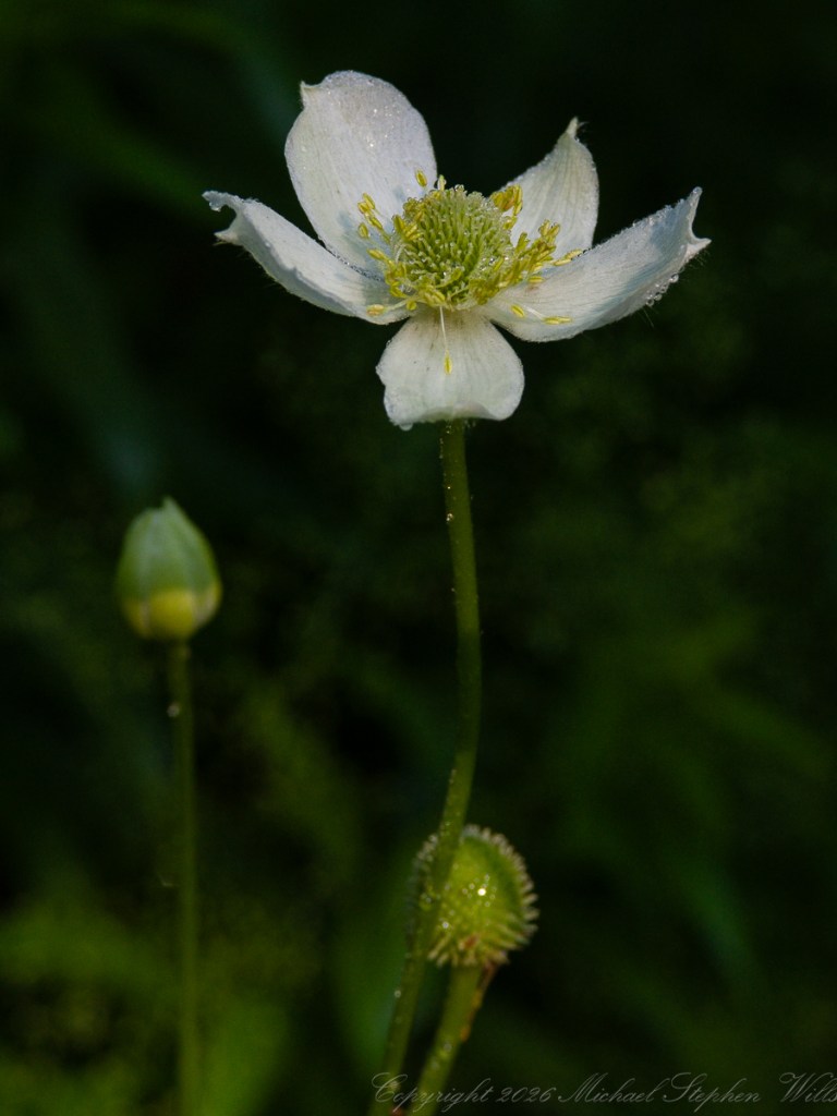
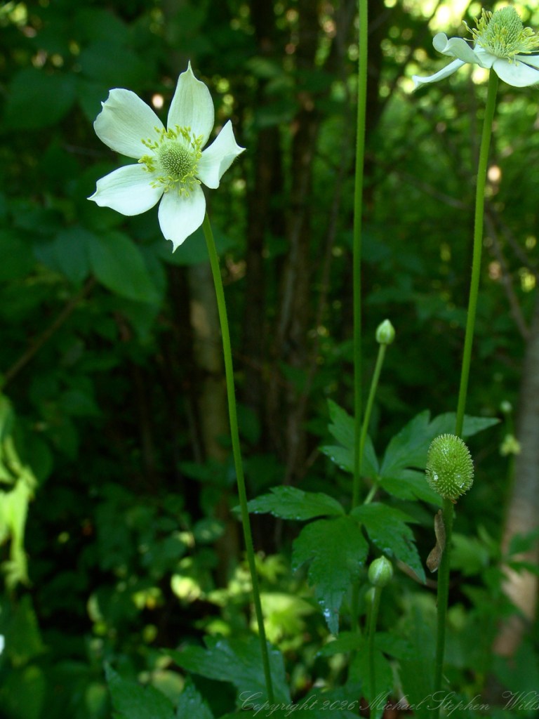
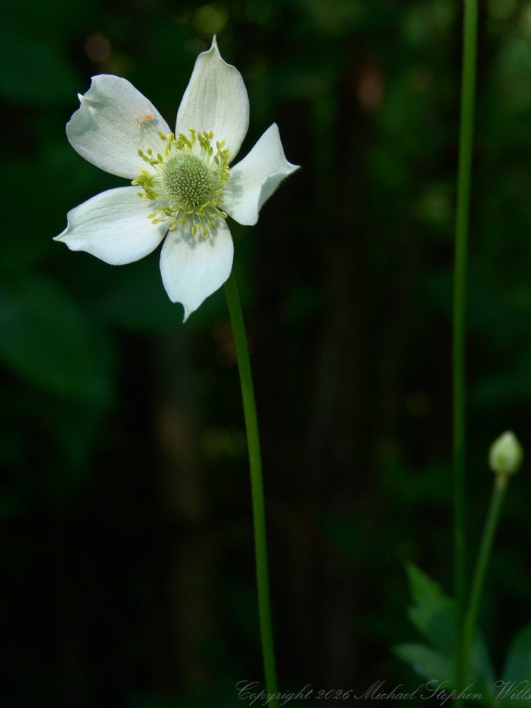
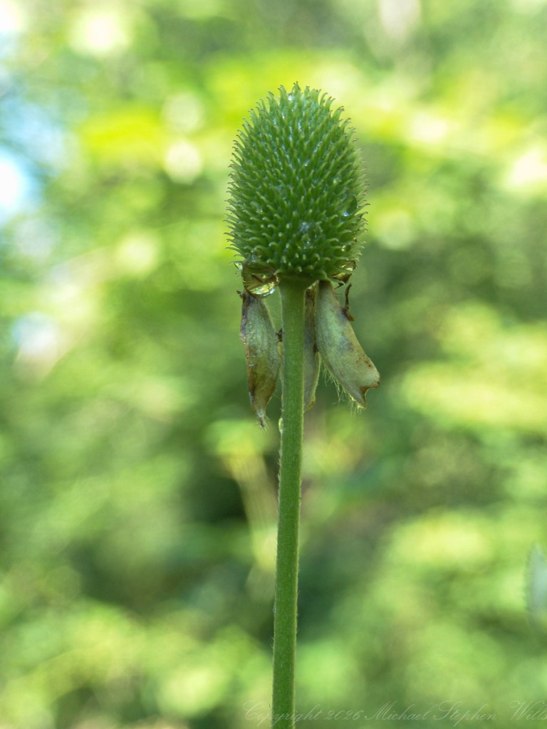
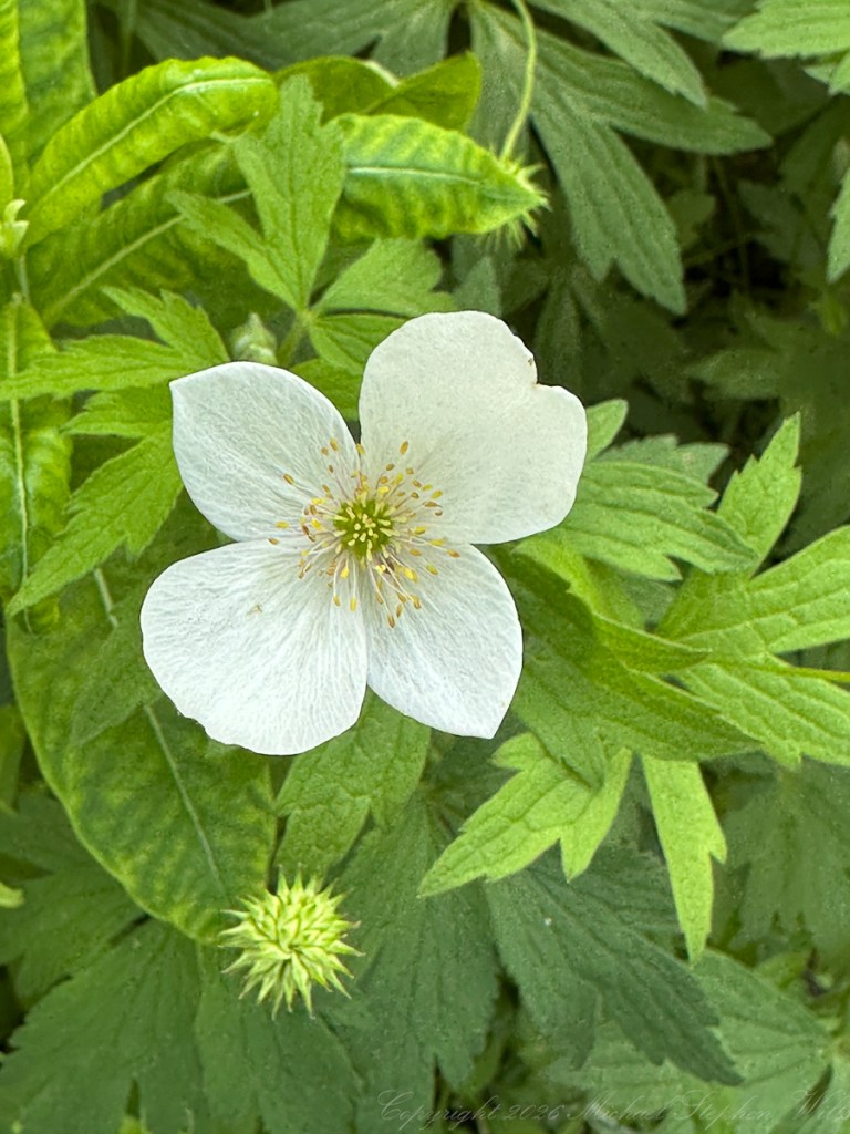
These Thimbleweeds are not white anemones in the soft sense of a spring flower, but tall anemones, thimbleweeds, plants of height, poise, and aftermath. Their most memorable structure is already waiting at the center of the flower: the green cone that will remain when the white sepals have gone. Freshly opened the flower is tender and stippled, ringed by yellow stamens; later it rises alone, armored in fine points, a little tower of continuance. The flower has not vanished. It has changed its language.
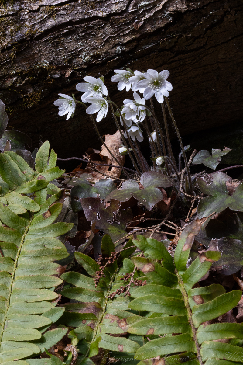
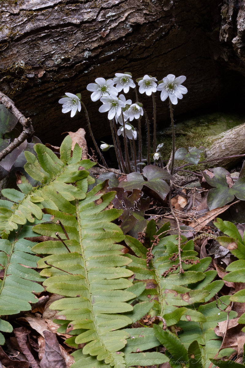
My 2005 photographs are portraits, each built from closeness and quiet restraint. The shallow focus turns the surrounding vegetation into a green tide, leaving the thimbleweed suspended in its own clear weather. The tripod’s steadiness gives the images a contemplative gravity. Nothing feels seized. Everything feels attended to. The thin stems become vertical measures in the dim woods, and the pale flowers seem to shine not by brightness alone but by contrast with the shaded world behind them.
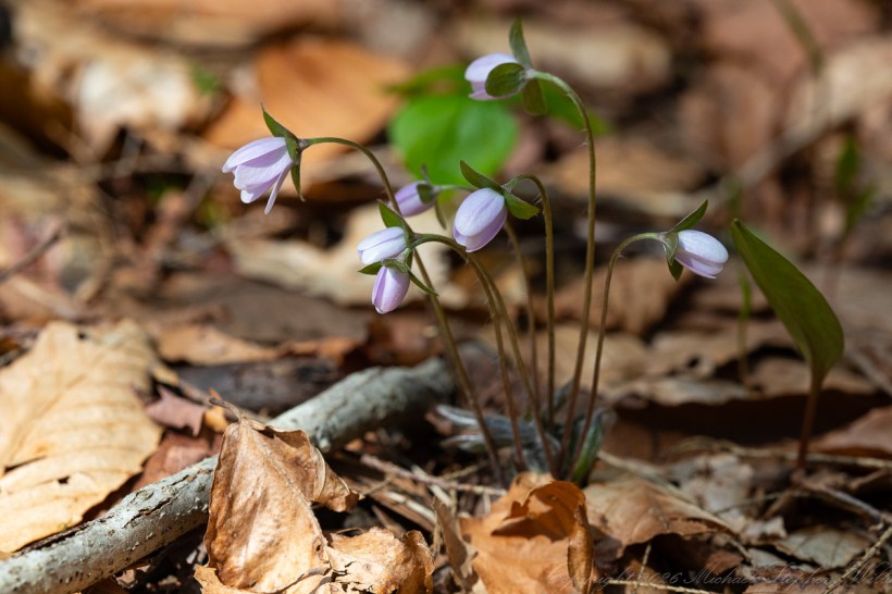
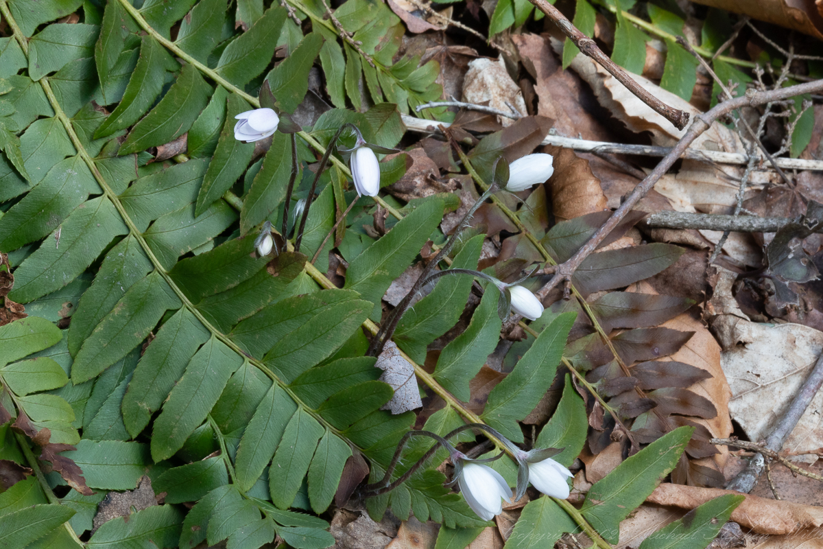
More than twenty years later, on June 13, 2026, the photographs from Robert H. Treman State Park near Ithaca offer another kind of seeing. These images, made with an iPhone 14 Pro Max, show Canada anemone, Anemonastrum canadense, along the Gorge Trail. The style is wider, more immediate, more ecological. Instead of isolating a single flower in formal portrait, the camera gathers the colony: white blossoms scattered among sharply cut leaves, stone wall, leaf litter, and the living green of the gorge. The plant is here a constellation at ground level.
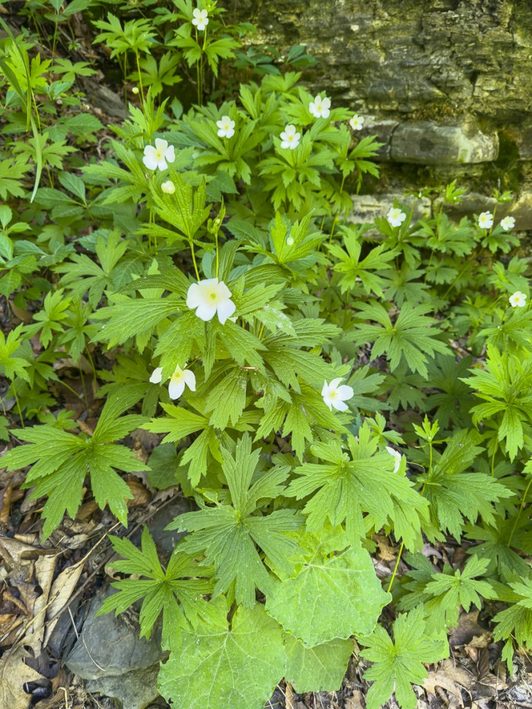

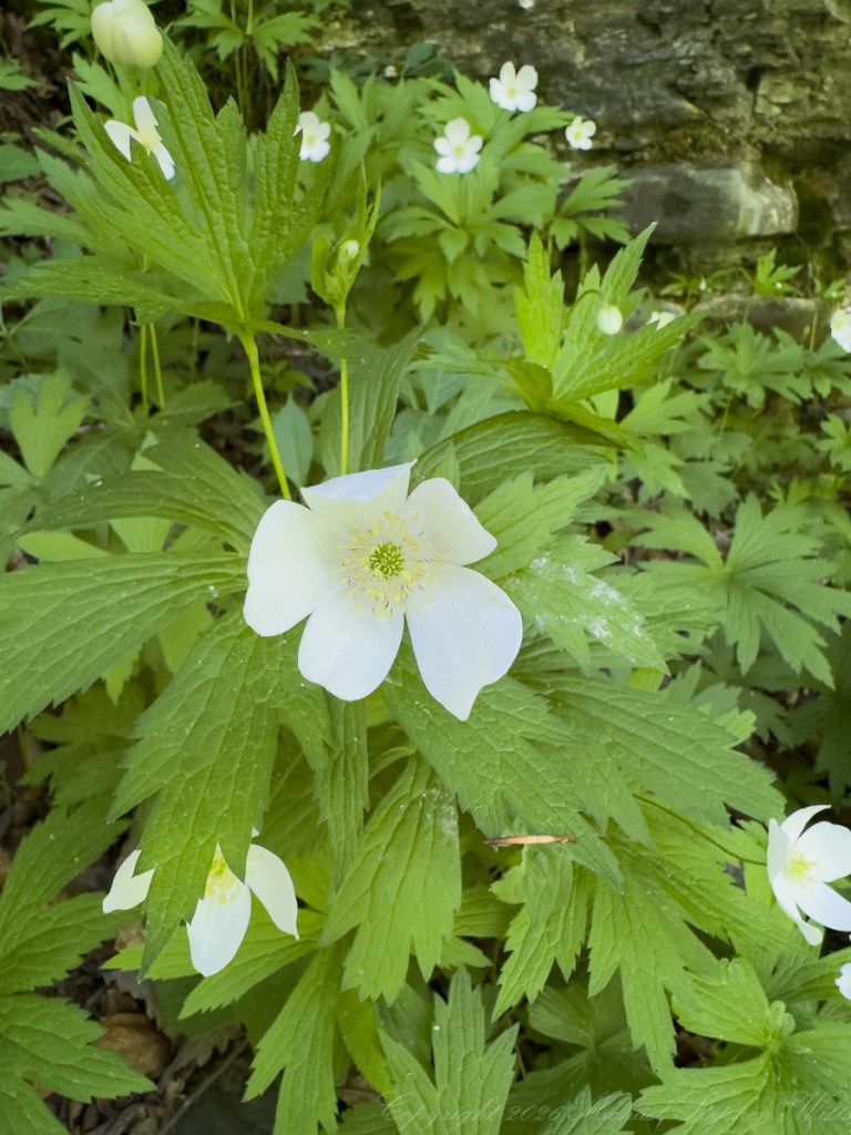
These photographs from the Gorge Trail of Robert H. Treman park have the fluency of a walk. They bring us into the place where the flowers grow, letting the eye move from blossom to leaf, from wall to moist soil, from one white face to another. In the close views, the Canada anemone opens with a rounder, simpler grace than the thimbleweed: white petals surrounding a modest green center and delicate yellow anthers. In the wider frames, its leaves make a bright, serrated fabric over the ground, a many-handed greenery receiving the light.
The contrast between the two sets is also a contrast between eras of photography. The Sony images feel like field studies made with ceremony: tripod, fixed attention, a single subject lifted from the woodland dimness. The iPhone images feel like discoveries carried in the hand, the eye moving freely through a living patch of plants. One approach gives us the flower as emblem; the other gives us the flower as citizen of a community. Together they make a fuller truth.
Across a twenty-one-year span, the technology changed dramatically. The 2005 Malloryville series has the patient, close-focus attention of a dedicated camera: ISO 64, small aperture, long exposures, the photographer leaning into stillness. The 2026 Treman images arrive through a phone camera, quick and bright, able to record both blossom and habitat with effortless clarity. Yet the flowers themselves refuse to become dated. These anemone are older than both cameras and indifferent to their sophistication. It keeps its own calendar: bud, bloom, seed, root, return.
Yet the kinship between the plants persists. Both hold white blooms above finely divided leaves. Both belong to the cool, green margins of the Finger Lakes landscape. Both take the ordinary materials of summer, water, shade, stone, soil, and passing light, and make from them a brief astonishment. The thimbleweed raises its solitary green future on a long stem. The Canada anemone spreads its brightness in company. One is a sentence written upward; the other, a page of scattered stars.
The wonder of these anemone is partly structural. Their “petals” are actually petal-like sepals, often five, sometimes more, white and slightly irregular, as if each flower has been hand-torn from light. The yellow stamens ring a green central cone, a small workshop of pollen and future seed. Insects visit for what the flower offers, while the plant asks only for suitable ground and enough room to run. It is not timid. Gardeners know they can spread vigorously, but in the wild that vigor reads differently: not aggression, but insistence. It is the plant saying, “Here is moisture, here is light, here is my chance.”
The photographs also show how much of wildflower beauty lies in context. The pristine frontal bloom is lovely, yes, but so is the closed bud held among vertical stems; so is the aging seed head with spent sepals hanging like weathered pennants; so is the colony rising from a gorge-side floor. Wonder does not reside only in peak bloom. It lives in the before and after, in the green machinery of leaves, in the “almost,” the “not yet,” and the “still becoming.”
To look at the anemone in this way is to be reminded that native plants are actors in the ecological drama of a place: stabilizing soil, feeding insects, responding to light gaps, marking moisture, stitching disturbed edges back into life. Their beauty is functional, and their function is beautiful. A wildflower is never only its moment of bloom. It is bud and blossom, seed and stem, place and weather, memory and return.
These photographs understand that. They show not just flowers, but the disciplined patience of plants: the hush before opening, the radiance of full display, the quiet labor after beauty has done its visible work. In Malloryville, a white flame becomes a green lantern. At Treman, small moons gather beside the stone. And through both, the green world keeps speaking in its oldest memorable phrase: nothing delicate is merely fragile.