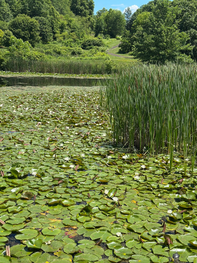
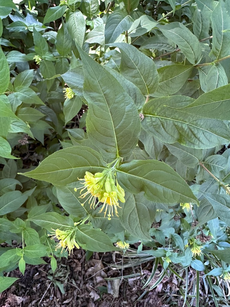
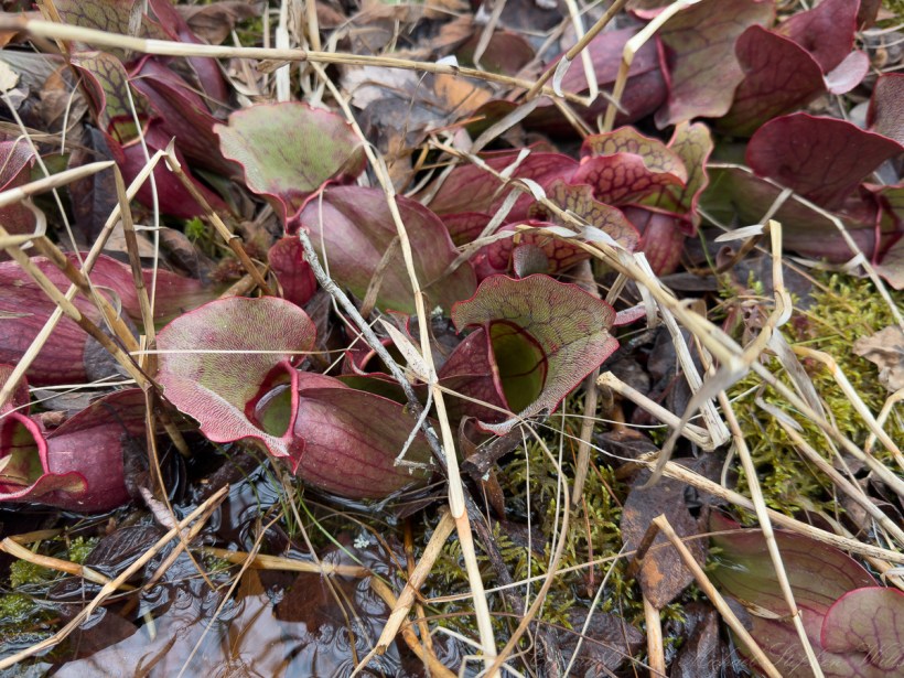
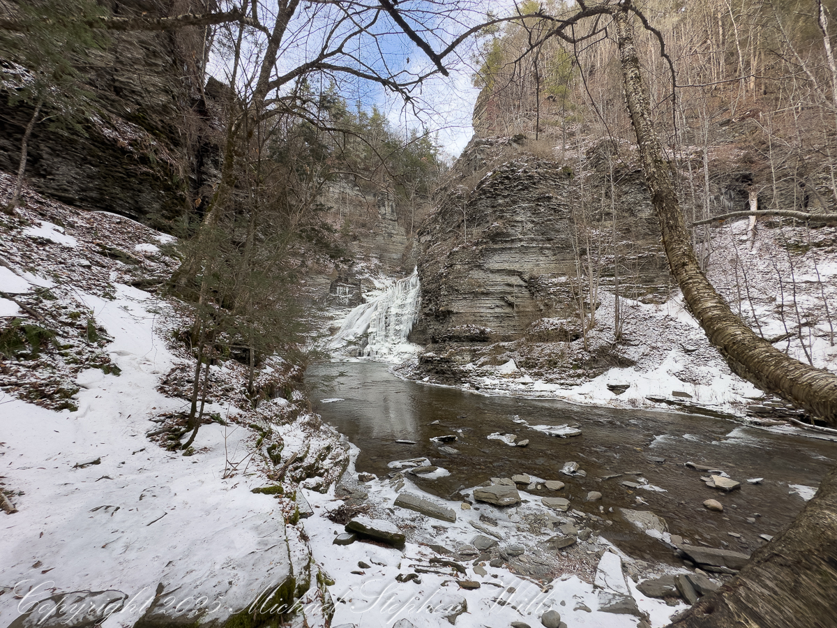
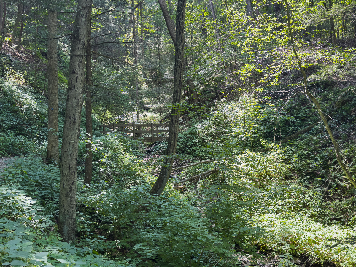
In July, the South Rim Trail of Robert H. Treman State the gorge gathers coolness, a refuge on sultry Finger Lakes summer afternoons. Beneath hemlocks and northern hardwoods, the air seems older, quieter, touched by water moving somewhere below. The trail passes between the intimacy of Enfield Glen and, higher up the gorge, the larger wandering course of the Finger Lakes Trail draws me away from ordinary measures of distance and urgency. In such a place, attention gradually changes. The forest ceases to be a green background and becomes a society of distinct lives.
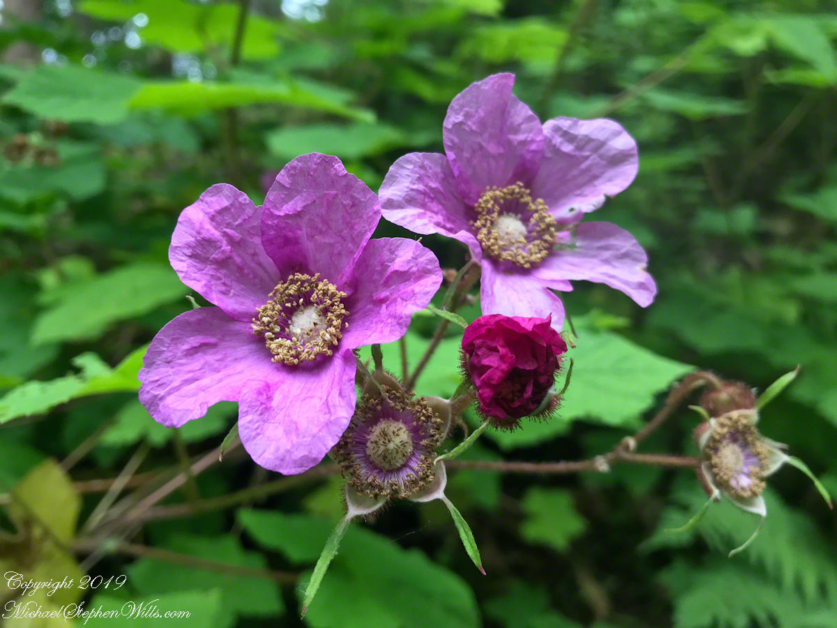
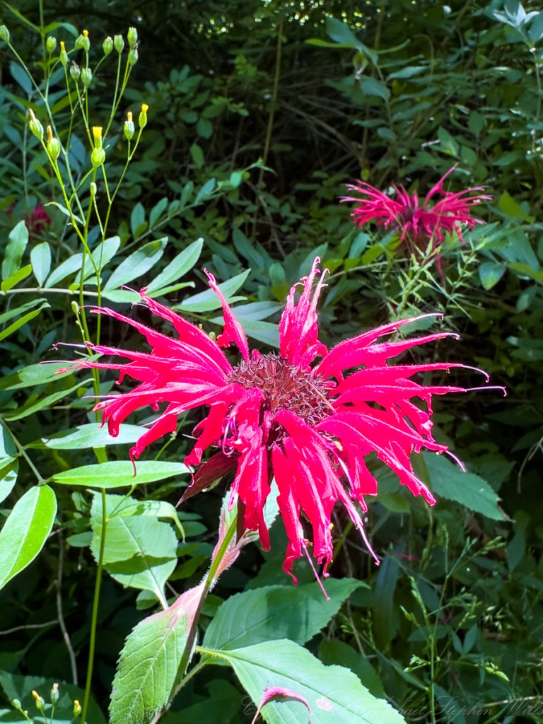
It was in this receptive state that I encountered colonies of scarlet bee balm on either side of the Finger Lakes Trail. The crimson flower heads rising above the surrounding vegetation like scattered signal fires. The color seemed almost impossible in the woodland light—not delicate or retiring, but exuberant. Each blossom rewarded a closer look, resolving into a wild arrangement of slender red tubes, curling lips, dark centers, and leaflike bracts. Here a native plant announces itself with an exotic richness.
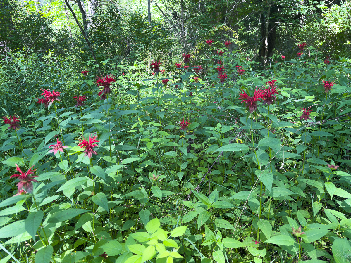
Scarlet bee balm, Monarda didyma, is an herbaceous perennial in the mint family, Lamiaceae. It is native to eastern North America and especially at home in moist woods, stream margins, thickets, and bottomlands. Its square stems, opposite serrated leaves, and aromatic oils disclose its kinship with other mints. Beneath the soil, spreading rhizomes enable it to form colonies. What appears from a distance to be one shaggy flower is actually a crowded head of many narrow, two-lipped flowers, each offering its own small entrance to nectar.
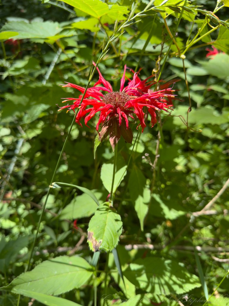
The scarlet tubes are beautifully suited to the ruby-throated hummingbird. A bird hovering before the flower reaches into the corolla with its long bill and carries pollen away on its head, becoming for a moment part of the plant’s reproductive life. Bumblebees, butterflies, and moths also visit. Members of the genus support several specialized native bees, while the dead hollow stems can provide nesting places for stem-nesting species. Even after flowering, therefore, bee balm continues to participate in the forest community. Its importance is not exhausted by its beauty.
Humans have also entered into a long relationship with Monarda didyma. One of its common names, Oswego tea, remembers its use by the Oswego people of New York, who prepared the aromatic leaves as a beverage. Indigenous communities employed bee balm in varied medicinal traditions, and later settlers adopted it for teas and household remedies. Its leaves and edible flowers have been used to flavor jellies, soups, stews, and fruit dishes. Thymol, a component associated with Monarda oils, has found use in commercial antiseptic preparations. These histories deepen the encounter. The plant is a bearer of ecological and cultural memory, current posibilities. It is best to check with local regulations as foraging and collecting is regulated in New York Park lands.
Eastern bottlebrush grass offers a quieter kind of revelation. A native, cool-season perennial of the grass family, Poaceae, Elymus hystrix inhabits deciduous woods and shaded edges across much of eastern and central North America. Its specific name, hystrix, means “hedgehog,” an affectionate description of the long, radiating awns that give each seed head its bristling form. In the photograph, those awns catch the light so finely that the plant seems drawn with green wire against the luminous forest. Unlike bee balm, it does not advertise to hummingbirds or bees. Its flowers are wind-pollinated, their pale anthers releasing pollen into the moving air.
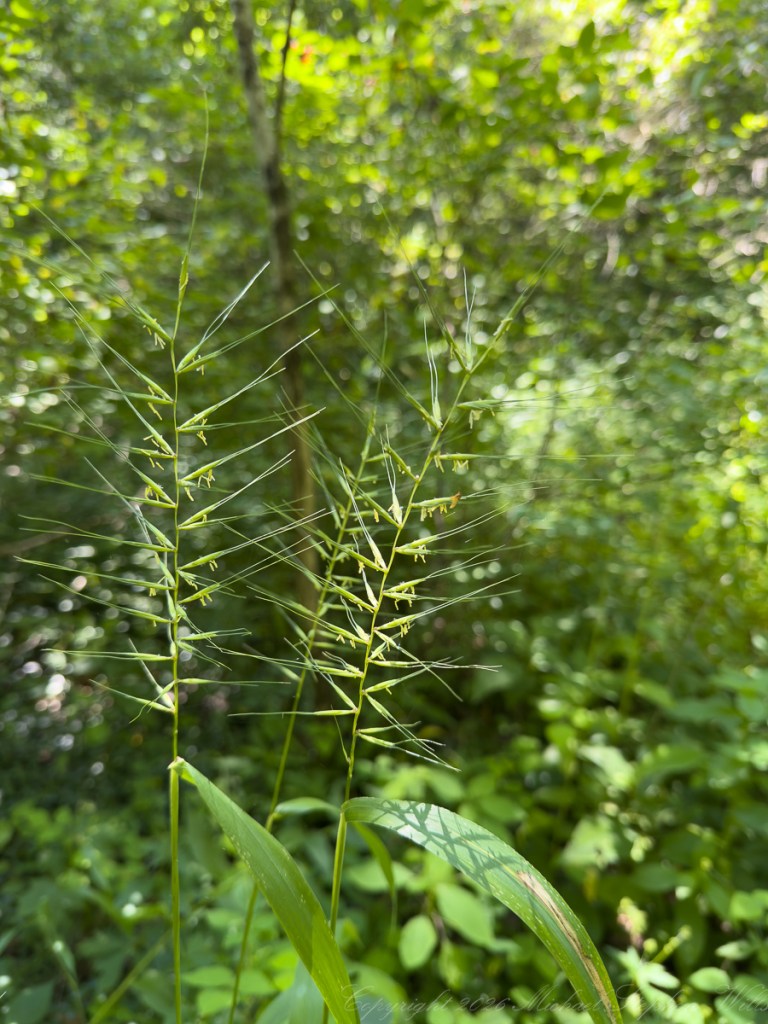
Where bee balm calls to birds and insects with color and nectar, bottlebrush grass entrusts its pollen to the wind. Its flowering is easily overlooked because grasses seldom conform to our habitual idea of a flower. There are no bright petals, no perfume meant to attract an animal visitor. Pale anthers emerge, air moves through the open spikelets, and pollen passes invisibly from plant to plant. Its apparent simplicity is the refinement of a different evolutionary strategy.
Bottlebrush grass sustains other lives in less conspicuous ways. Its foliage feeds the caterpillars of the northern pearly-eye butterfly and several moth species. Birds and white-footed mice eat its seeds, while grazing animals browse the tender young leaves. Its fibrous roots help hold woodland soil, and its tolerance of shade allows it to flourish beneath a leafy canopy where many grasses cannot. Cornell Botanic Gardens also records a Haudenosaunee practice involving a preparation of its leaves and reed-grass rootstocks in treating corn seed before planting—another meeting of botanical and cultural knowledge.
Today Elymus hystrix is increasingly welcomed into native woodland gardens, naturalized plantings, and erosion-control areas. Its seed heads bring movement and texture to shaded landscapes and can be used in floral arrangements. Monarda didyma, meanwhile, has become a familiar inhabitant of pollinator gardens and rain gardens. Cultivated thoughtfully, both plants allow a human landscape to recover some of the relationships present in a functioning woodland: roots securing soil, insects finding food, birds gathering seed, and seasons being permitted to complete themselves.
Encountered together, the two plants seemed to embody complementary ways of belonging. Scarlet bee balm was ardor made visible—bright, aromatic, and alive with invitation. Eastern bottlebrush was reticence and patience, revealing its elegance only to a lingering eye. One reached outward through color; the other surrendered itself to wind.
The afternoon’s discoveries thus offered two ways of being visible. Monarda didyma flared outward—scarlet, aromatic, thronged with visitors. Elymus hystrix waited for a shaft of light and an attentive eye. Between them lay the shaded South Rim Trail, the bridge, the climbing path, and the patient green world through which they conduct their separate lives. To walk there was to learn again that beauty is relationship: roots holding soil, wind carrying pollen, a hummingbird entering a red corolla, a mouse gathering seed, and a hiker pausing long enough for the forest to become particular.