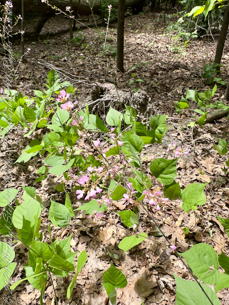
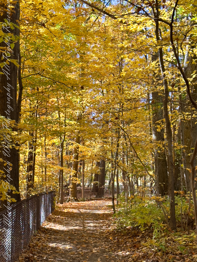
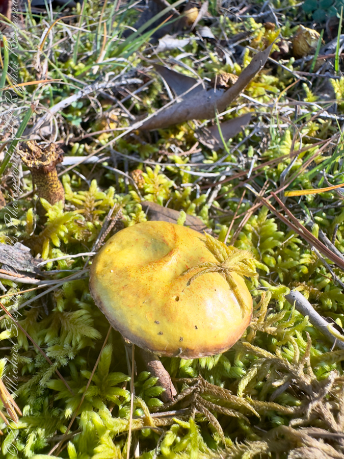
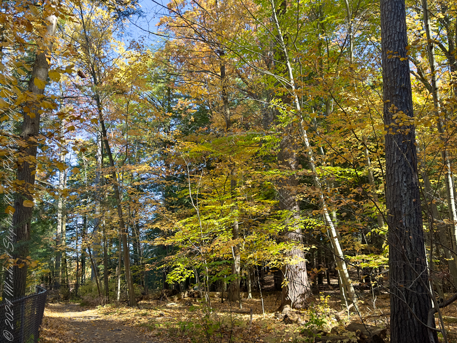
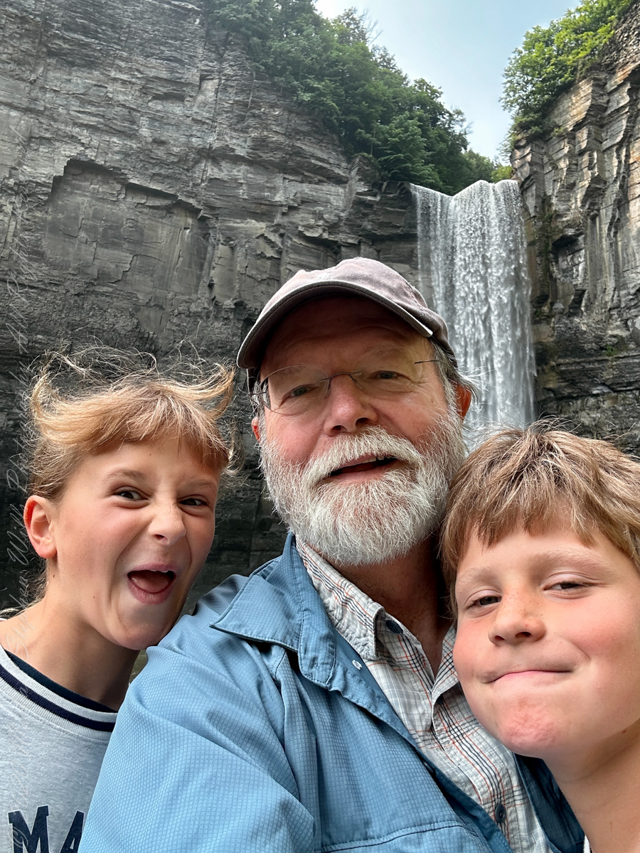
Winter pares the world down to its essential lines, and nowhere is that more apparent than on the rim trails of Taughannock Falls State Park. On a Wednesday afternoon walk, a three-mile pilgrimage, the gorge revealed itself as a living corridor of connections—between water and stone, past and present, effort and joy. The season sharpened every sensation: the crunch and slip of ice underfoot, the hush of leafless woods, the long exhale of the falls echoing unseen below.
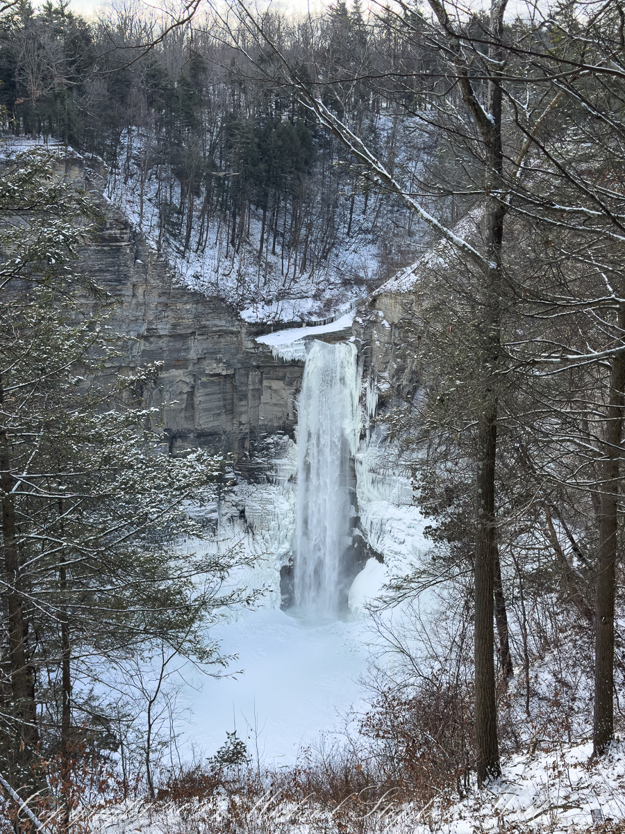
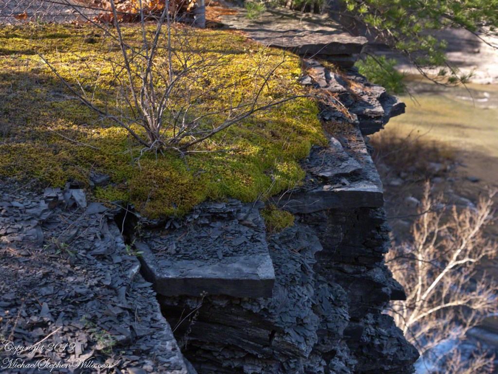
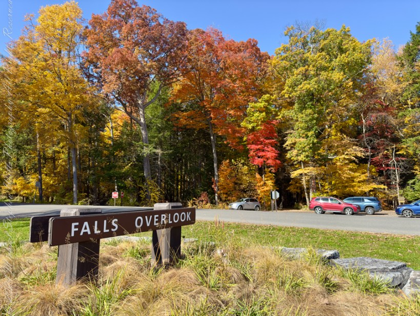
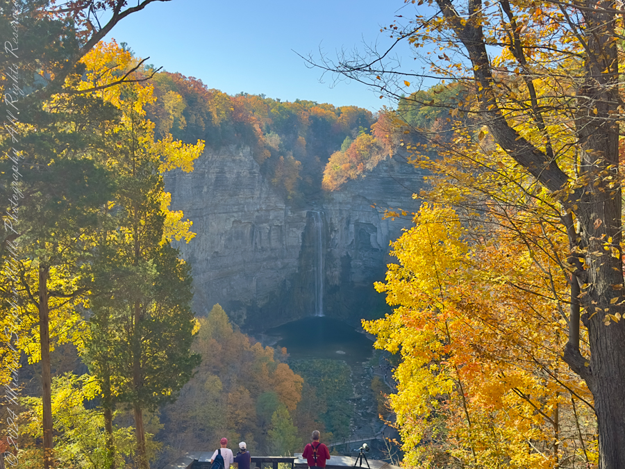
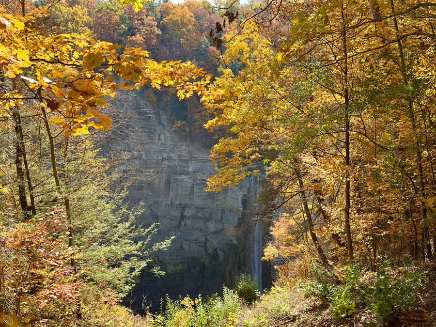
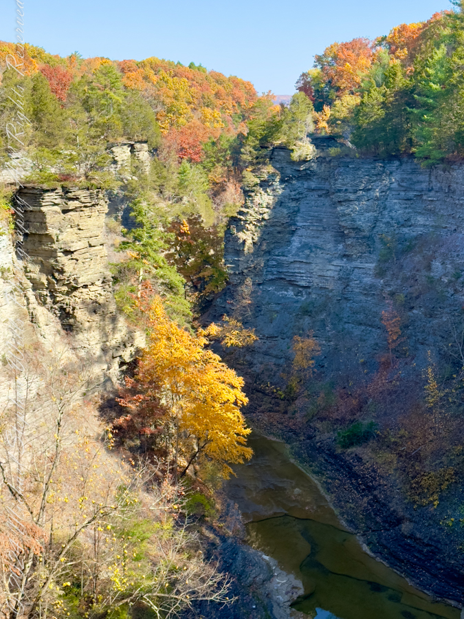
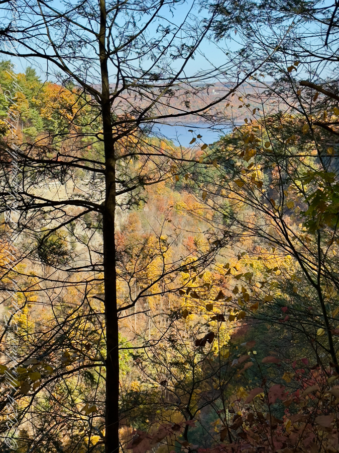
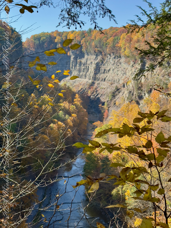
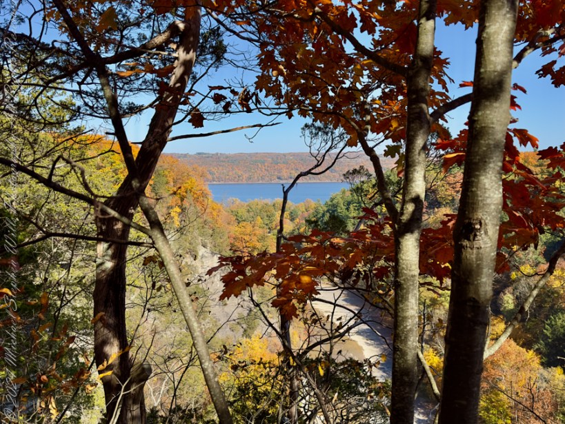
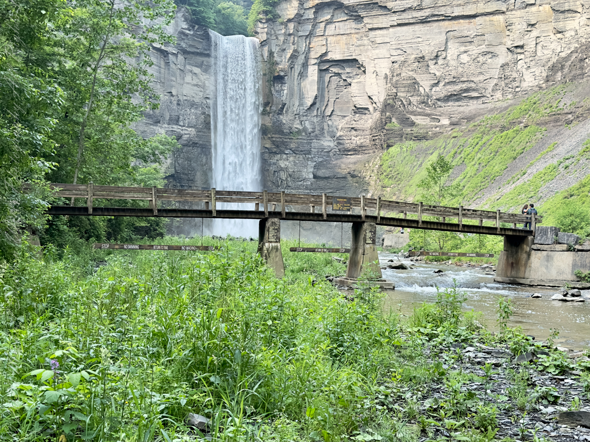
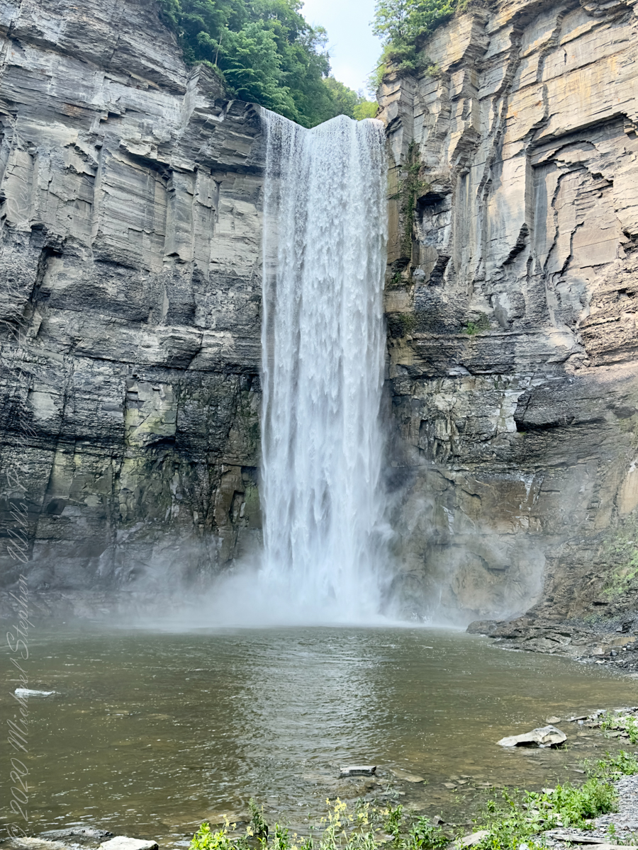
From the overlook, the gorge opens like a vast stone book, its pages written in shale and time. Taughannock Falls drops away in the distance, not so much seen as felt—its presence announced by scale and gravity. Even before stepping onto the trail, the walk establishes its rhythm: pause, look, breathe. Winter insists on this slower tempo. Ice dictates caution, and caution invites attention.
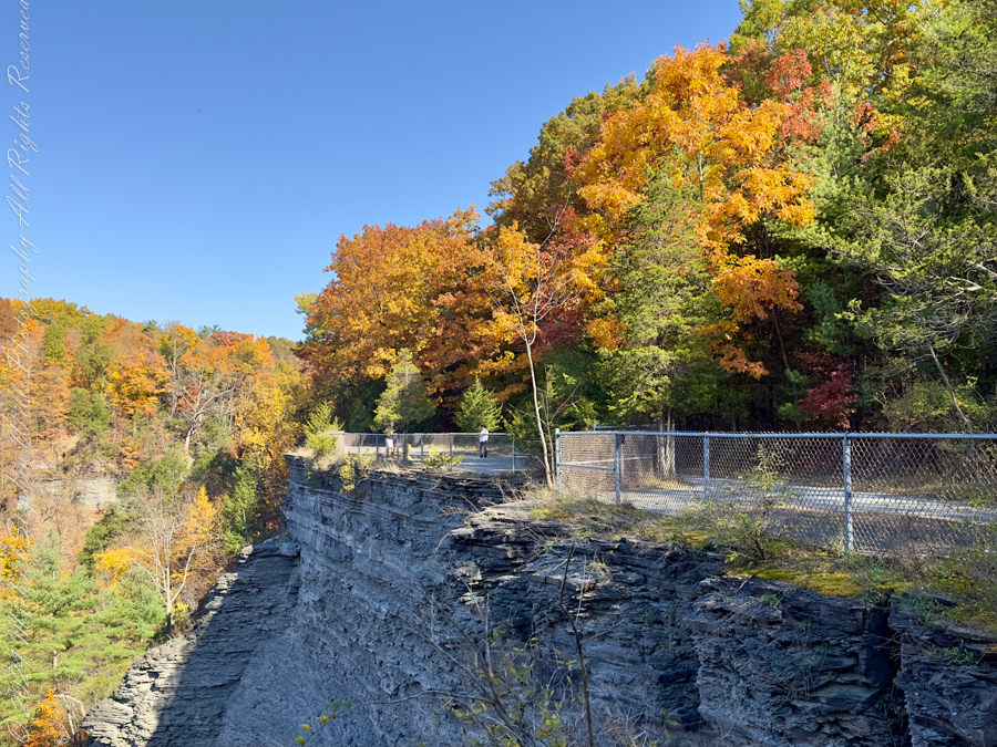
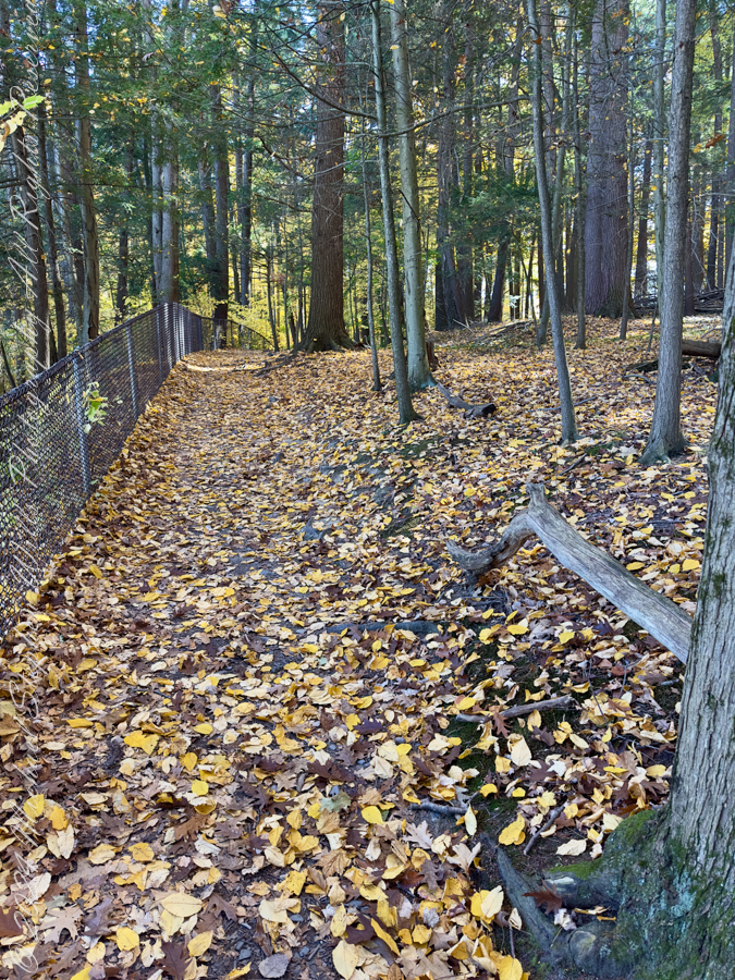
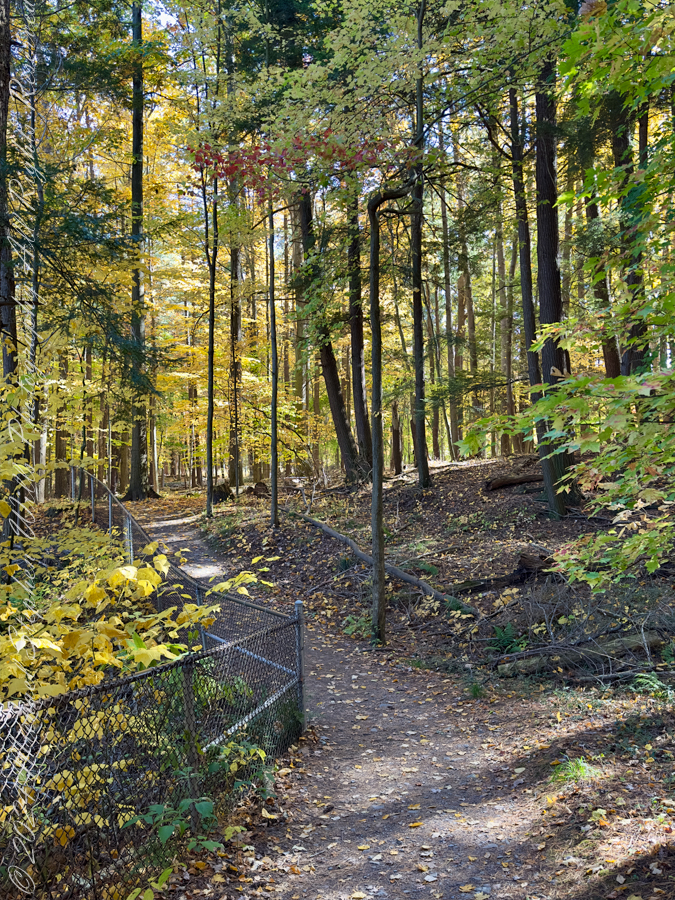
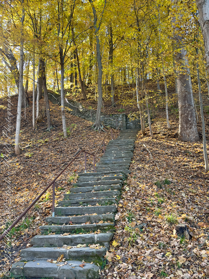
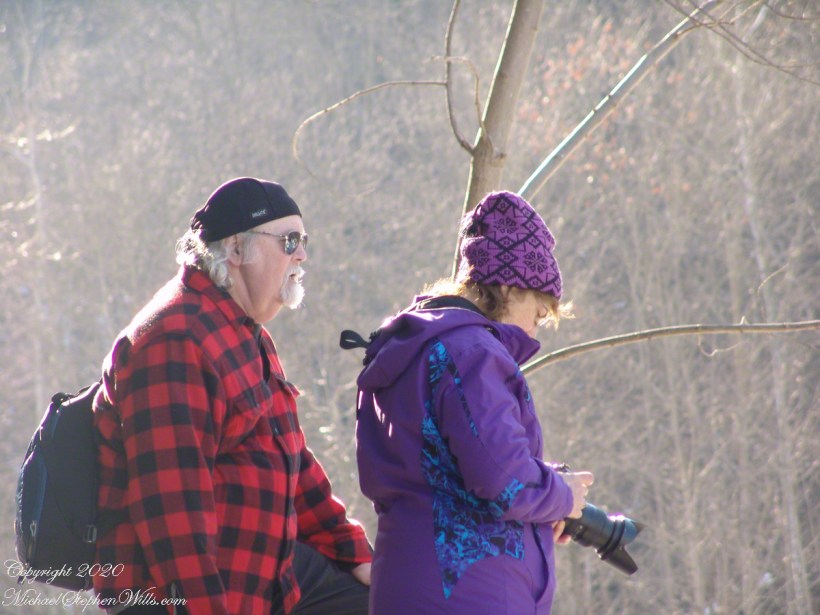
Heading along the Rim Trail my progress became deliberate. The path, glazed in places with solid ice, turned each step into a negotiation. Yet this was no impediment to pleasure. Slowness allowed for noticing the quiet labor of the park maintenance crew, whose careful clearing and repairs spoke of spring already anticipated. Their work stitched the present moment to the coming season, a reminder that parks, like stories, are maintained through this unseen devotion.
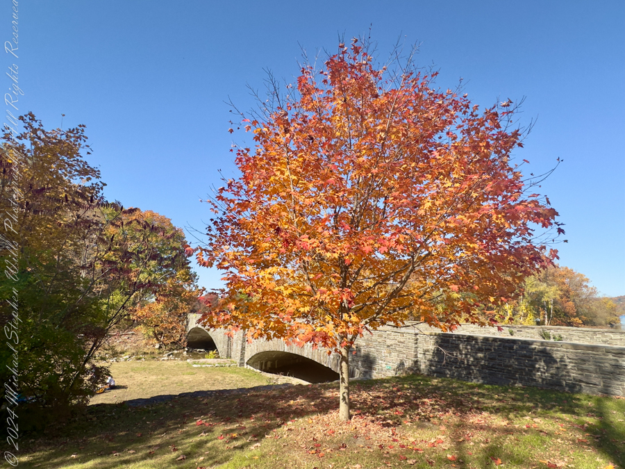
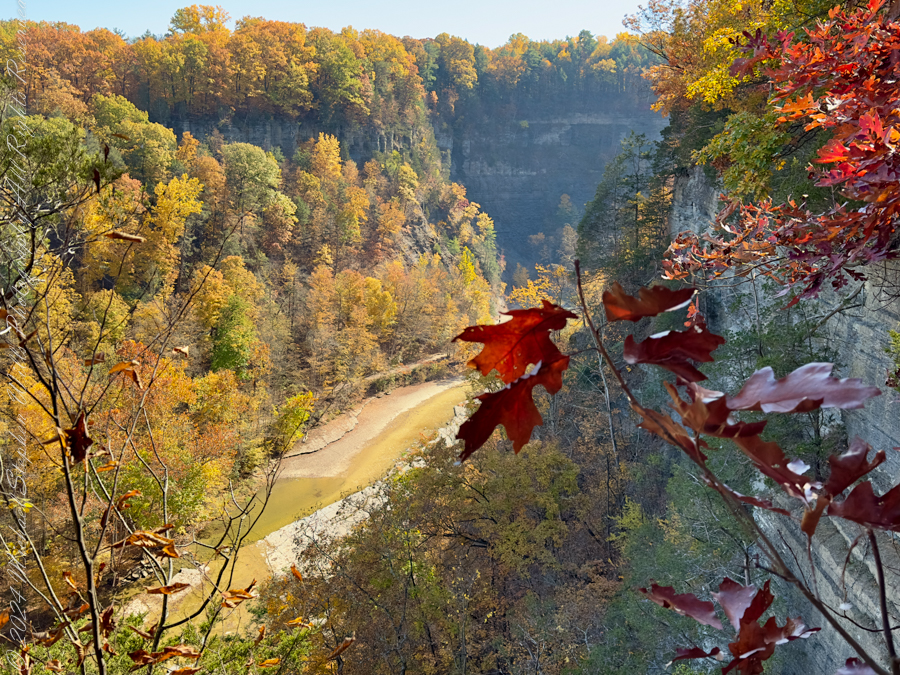
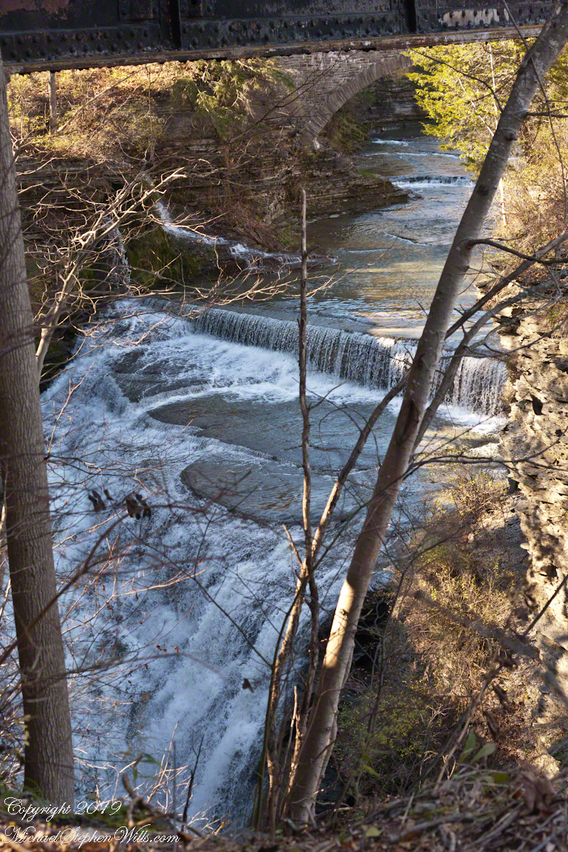
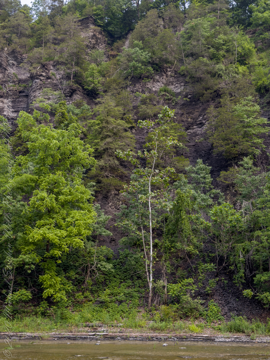
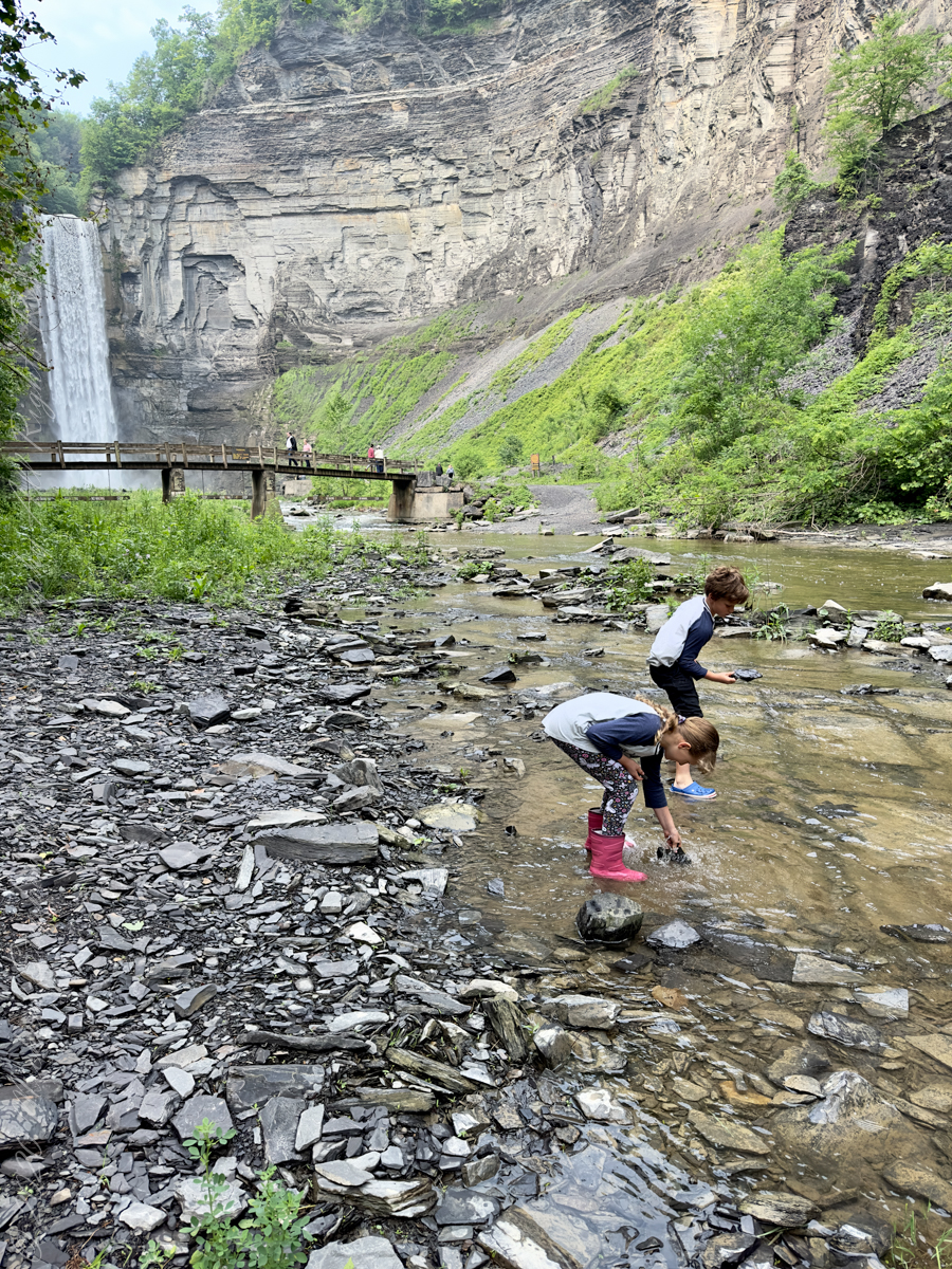
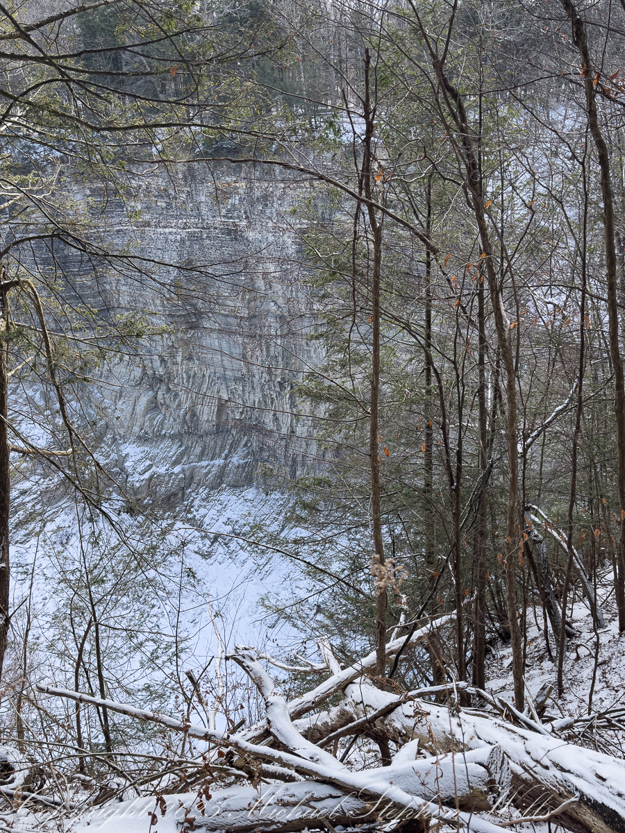
The gorge itself is a system of thresholds. A bridge crossing the creek marks the transition from North to South Rim, but it also frames one of the most dramatic views in the park. Standing above the chasm, one senses connection: water flowing beneath, trails diverging and rejoining, human passage layered lightly atop geological endurance. The gorge is a conversation between forces, ongoing and unresolved.
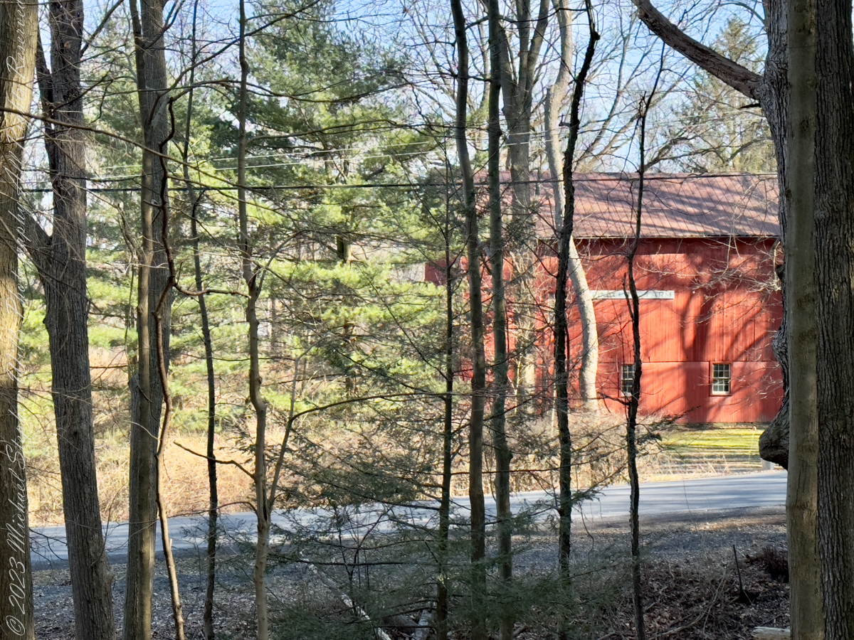

Ice eventually nudged my walk onto Gorge Road, which parallels the South Rim Trail like a quieter narrative strand. Here, the landscape shifts from wild drama to human memory. A curve in the road reveals a farmhouse, modest and fragile beside its outsized barn. In winter, the absence of leaves makes the scene stark and honest. The farmstead buildings do not ask for nostalgia; they simply stand, bearing witness to lives tethered to this steep land. The structures emerge gradually as I walk downhill, as if the land itself were choosing when to reveal them.

A short detour leads to a small cemetery perched on a shelf above Cayuga Lake, near the Taughannock Farms Inn. In winter, cemeteries feel less like places of mourning and more like rooms of quiet conversation. Headstones rise from frozen ground, their inscriptions softened by time and distance. From this vantage point, lake and sky merge in pale bands, and the lives commemorated here feel gently folded into the larger story of the landscape. The dead, too, are part of the park’s web of connections.
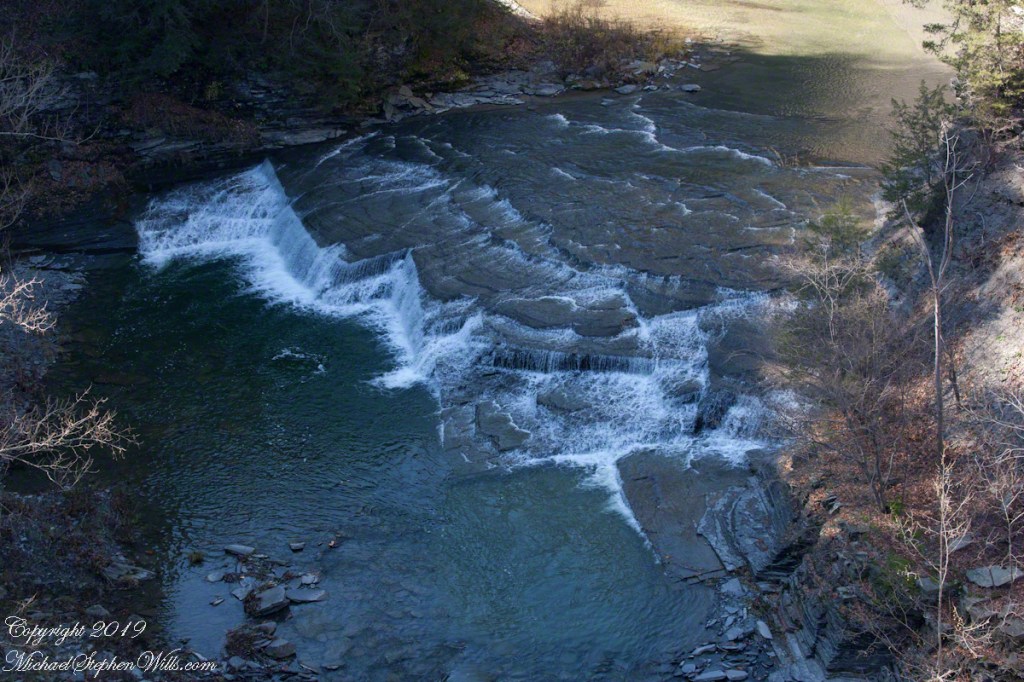
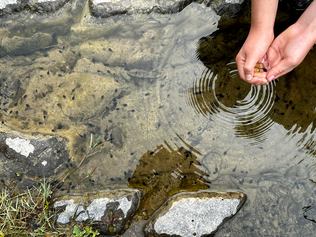
Another detour brings the lower falls into view—a more intimate expression of the same water that plunges dramatically upstream. Here the sound is closer, the movement more conversational. It is easy to imagine this water traveling, moment by moment, linking ravine to lake, winter to spring, memory to presence.

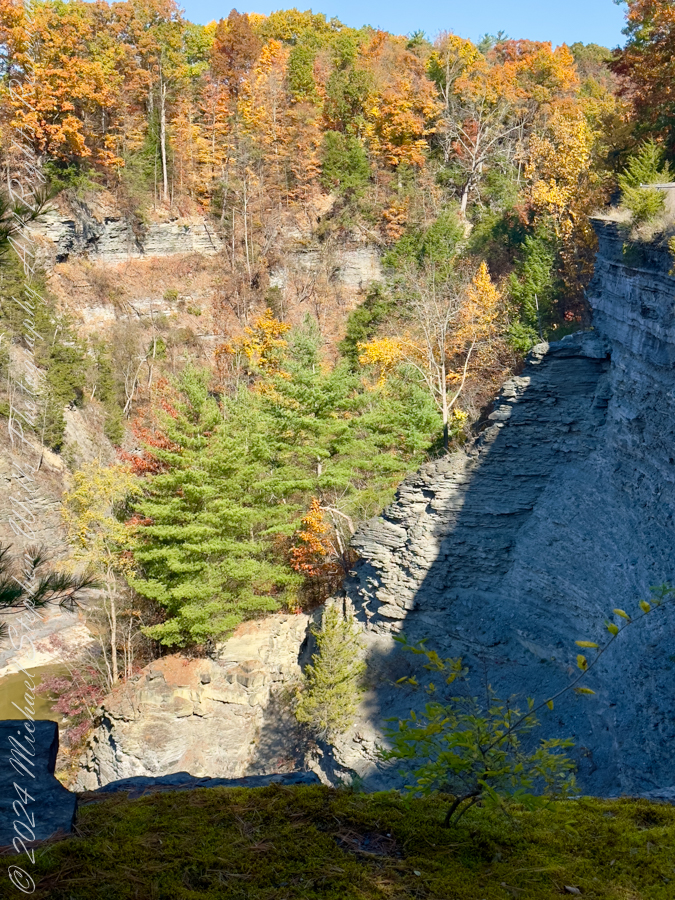
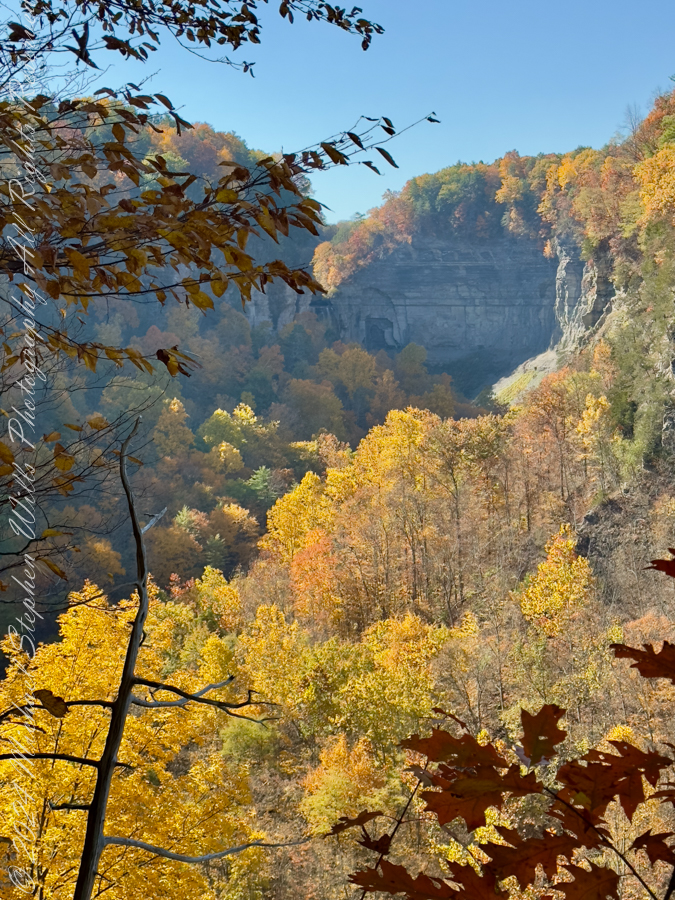
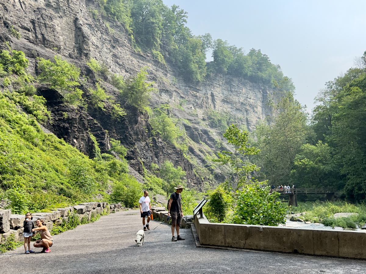
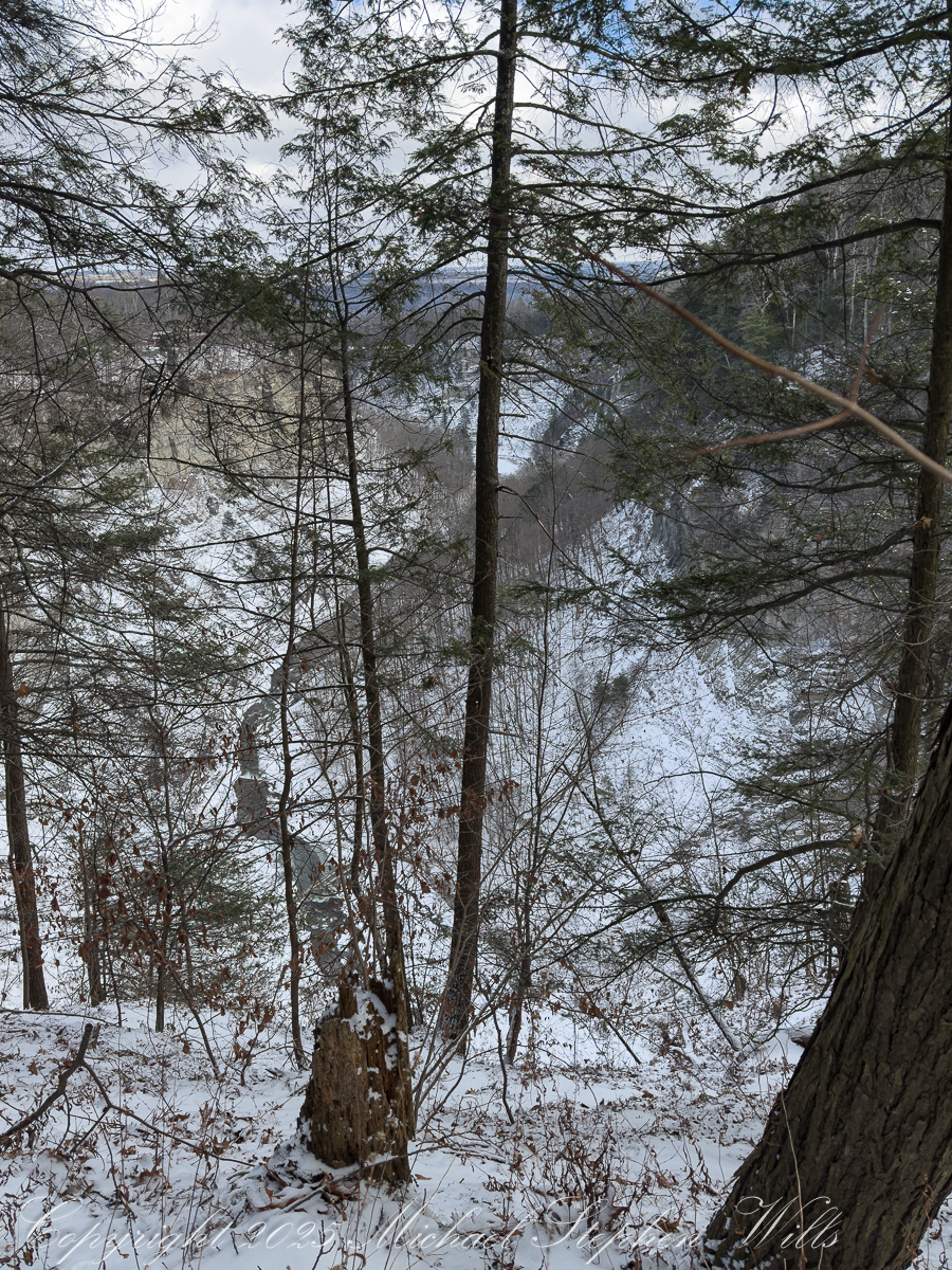
Rejoining the rim trail for the final climb north, the gorge offers repeated overlooks where the Gorge Trail can be seen threading below. These moments collapse distance: walker and walker, above and below, bound by the same route at different elevations. Over the course of roughly three miles and almost 600 feet of cumulative elevation change, effort becomes its own reward. Two hours pass not as measured time but as a sustained attentiveness, a gift winter offers to those willing to meet it on its terms.
Walking these trails in winter is about entering a conversation with the land—listening to ice, stone, water, and history speak in a quieter register. The joy lies in connection: trail to trail, gorge to road, past to present, and walker to place. In winter, Taughannock invites, gently and honestly, those who are willing to walk slowly enough to see.