Fillmore Glen State Park in Moravia, New York, offers a changing landscape that serves as a living canvas, with the ironically named Dry Creek feeding its lush greenery. The ebb and flow of water from the creek creates a dynamic setting. Seasons dramatically alter the scenery, from tranquil springs to vibrantly colored autumns, beautifully captured through fine art photography.
Several possible sources have been proposed for the name Taughannock, all of which describe Native American origins. One translation suggests that the name is derived from a combination of Iroquois and Algonquin terms meaning “great fall in the woods”. An alternate theory suggests that the name may refer to a Lenni Lenape (Delaware) chief named Taughannock who died near the falls during a battle.
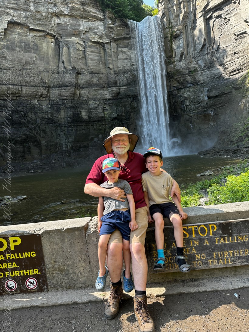
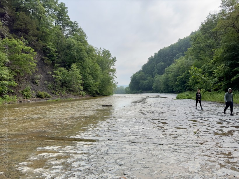
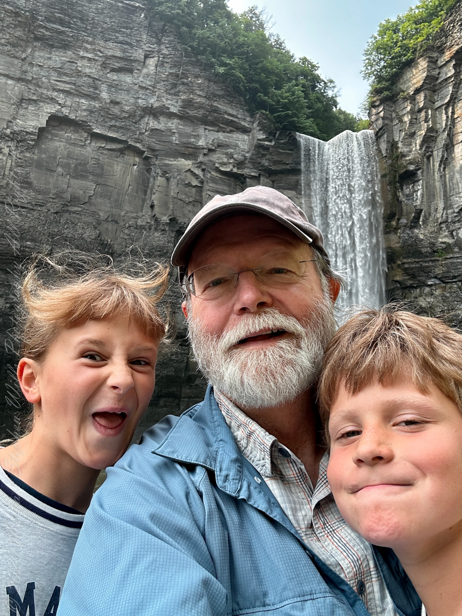
A nice lady offered to take the photo….challenged to keep it straight.
During the second half of the nineteenth century, steamboats, railroads and Victorian hotels were built in the region to serve tourists who traveled to view the falls. By 1925 the hotels were failing due to a decline in tourism, and New York State began acquiring land to form a park.
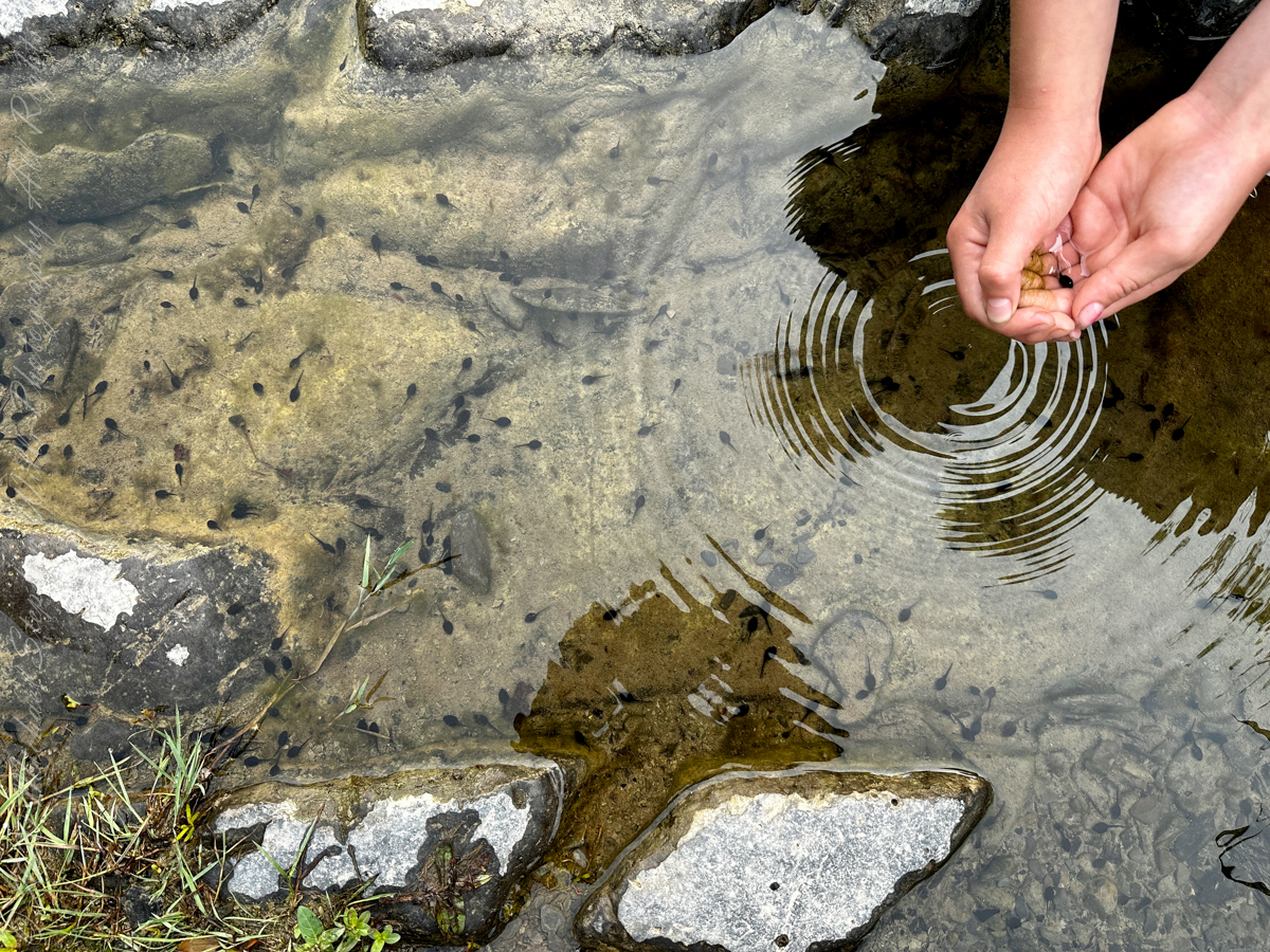
Pollywogs!! Catch and release
J.S. Halsey built a two and a half story hotel in 1850, known variously as the Cataract Hotel or Taughannock House (or simply as Halsey’s Hotel) at the Taughannock Falls Overlook.
Visitors could reach the hotel by taking a train to Cayuga Lake, take a steamboat across the lake to Goodwin’s Point, then finally board a stagecoach to reach the hotel. The hotel site today is the location of the park visitor center and parking lot.
Enjoy!!
Copyright 2023 Michael Stephen Wills All Rights Reserved
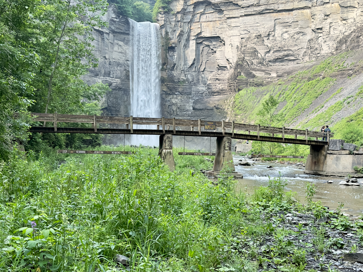
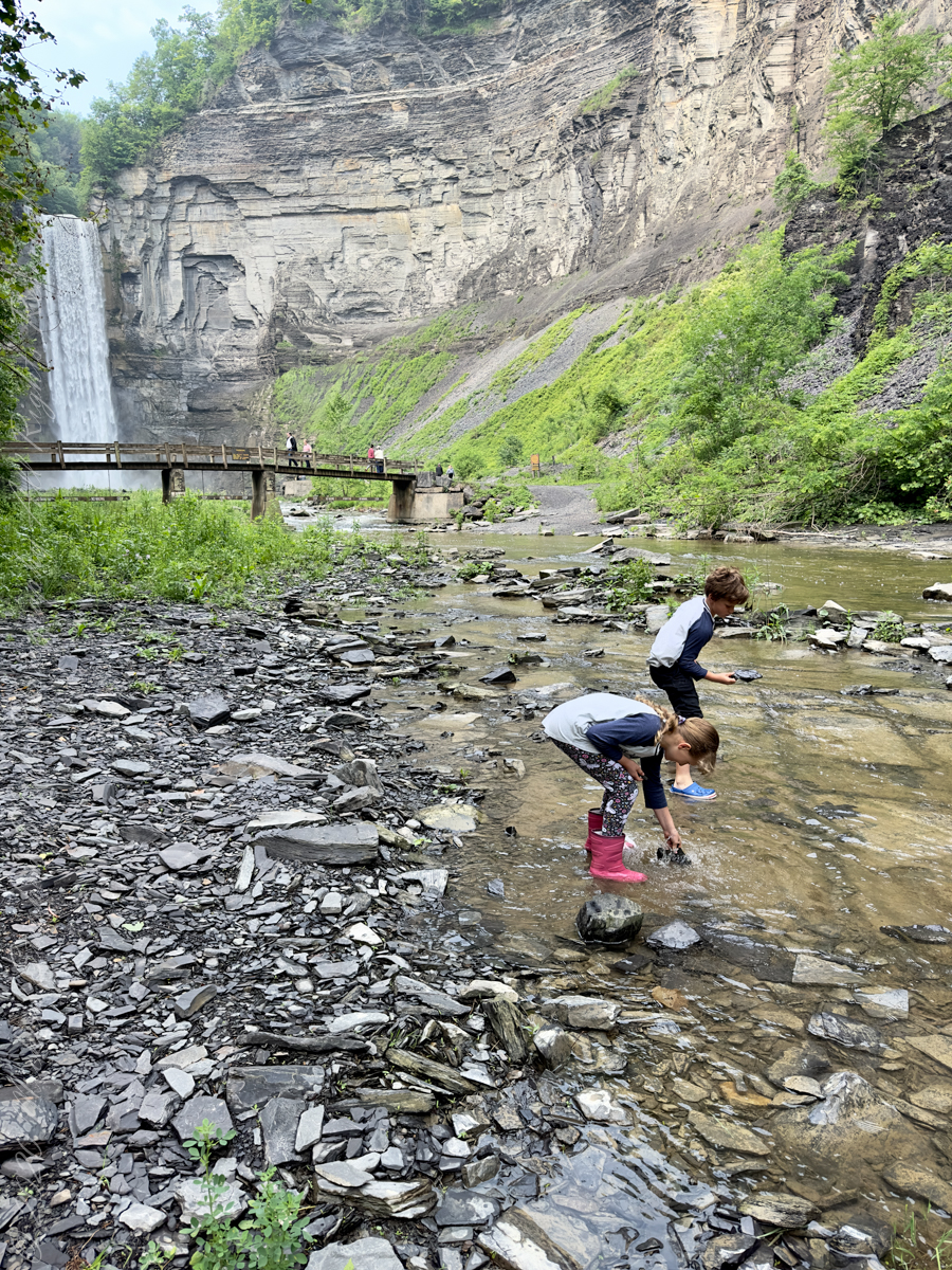
The waterfall and gorge comprise an example of a hanging valley, formed where Taughannock Creek’s stream-carved valley meets the deeper glacially carved valley that contains Cayuga Lake.
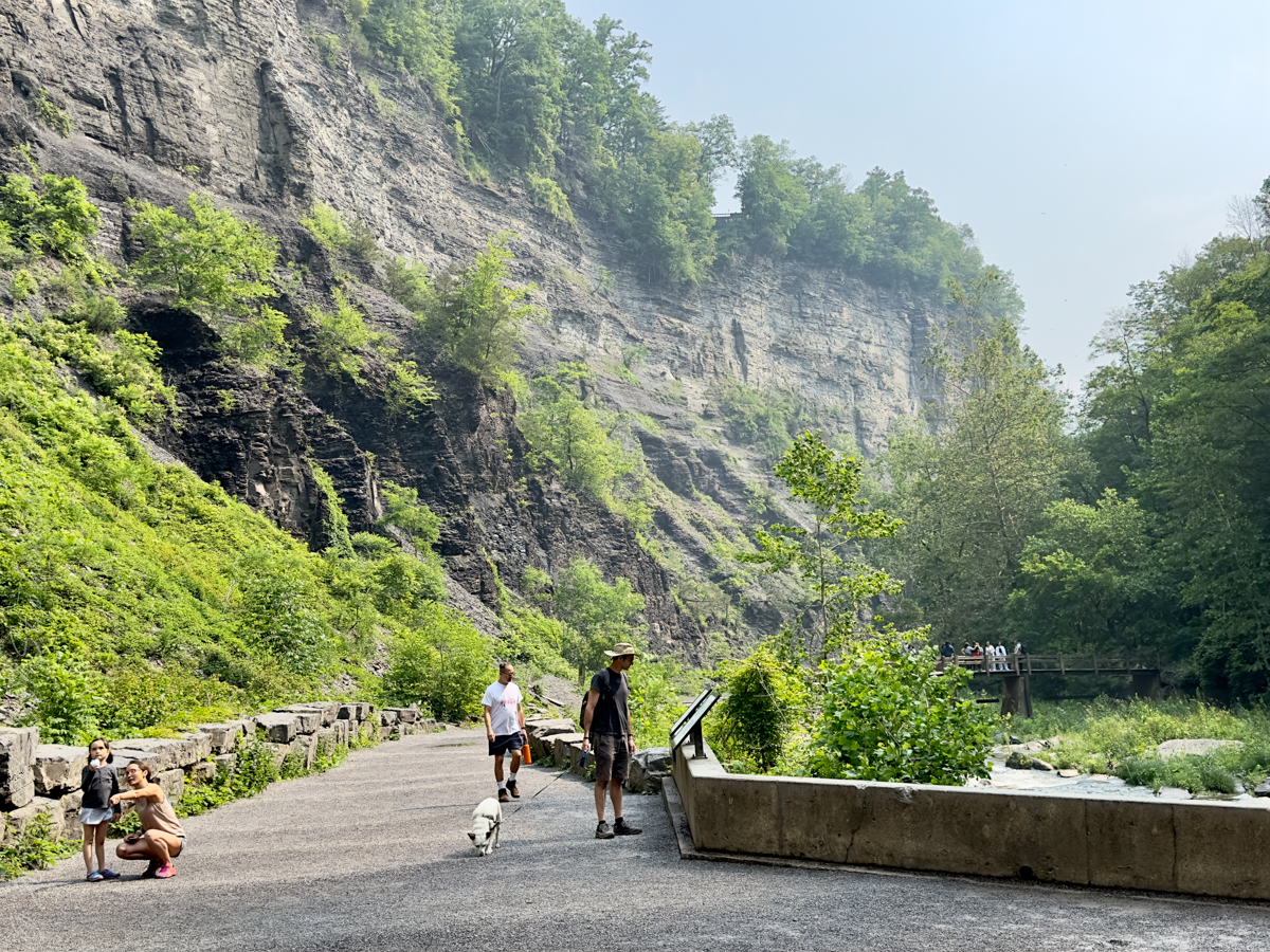
The gorge has continued to retreat westward from Cayuga Lake as easily eroded shale near the fall’s base is worn away by the stream, which supports erosion-resistant siltstone and sandstone found in the upper portions of the gorge.
Pollywogs!! Catch and release
Annual freeze and thaw cycles also act upon small faults in the rock, causing large sections to occasionally break away, further expanding the gorge.
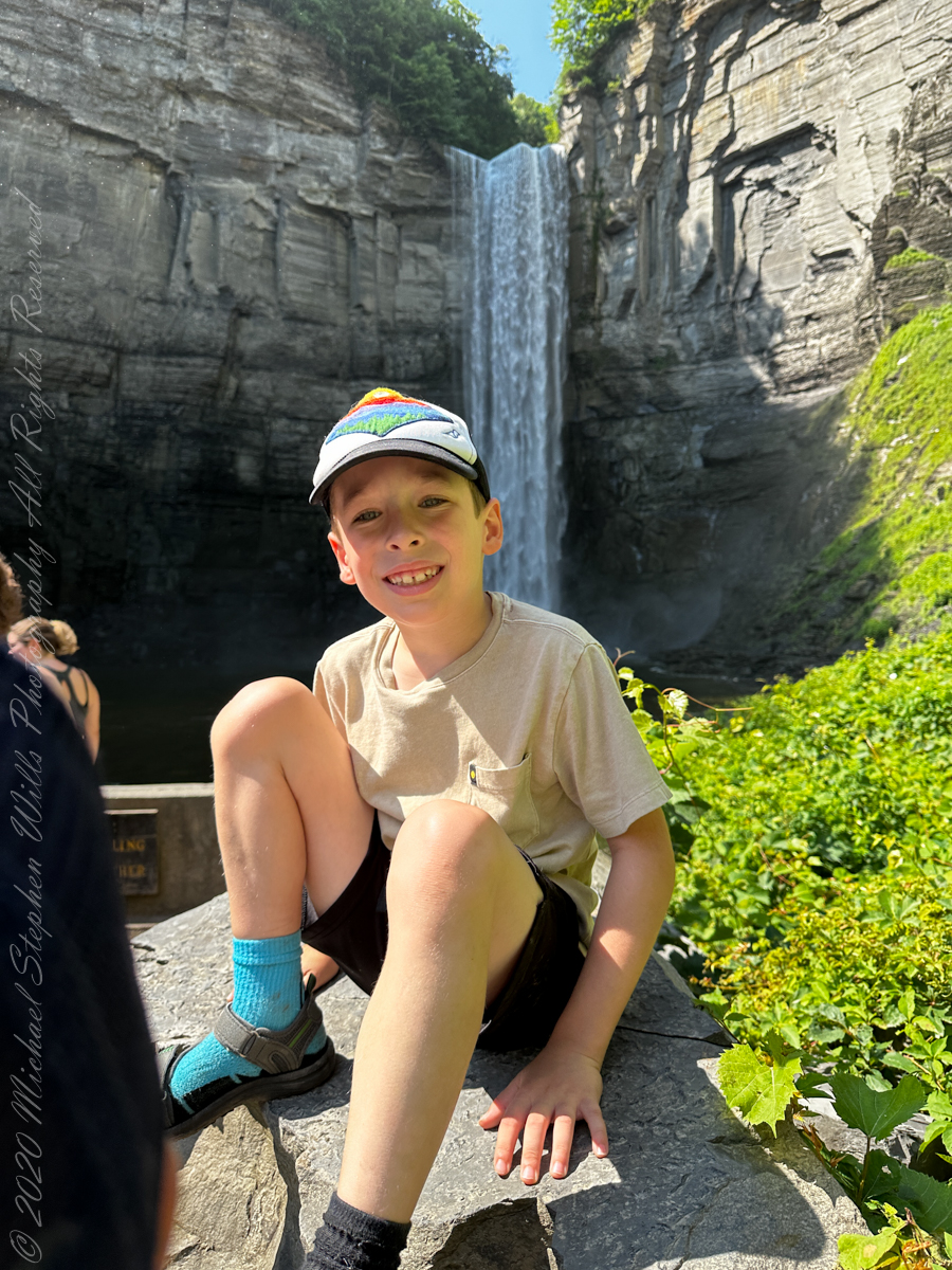
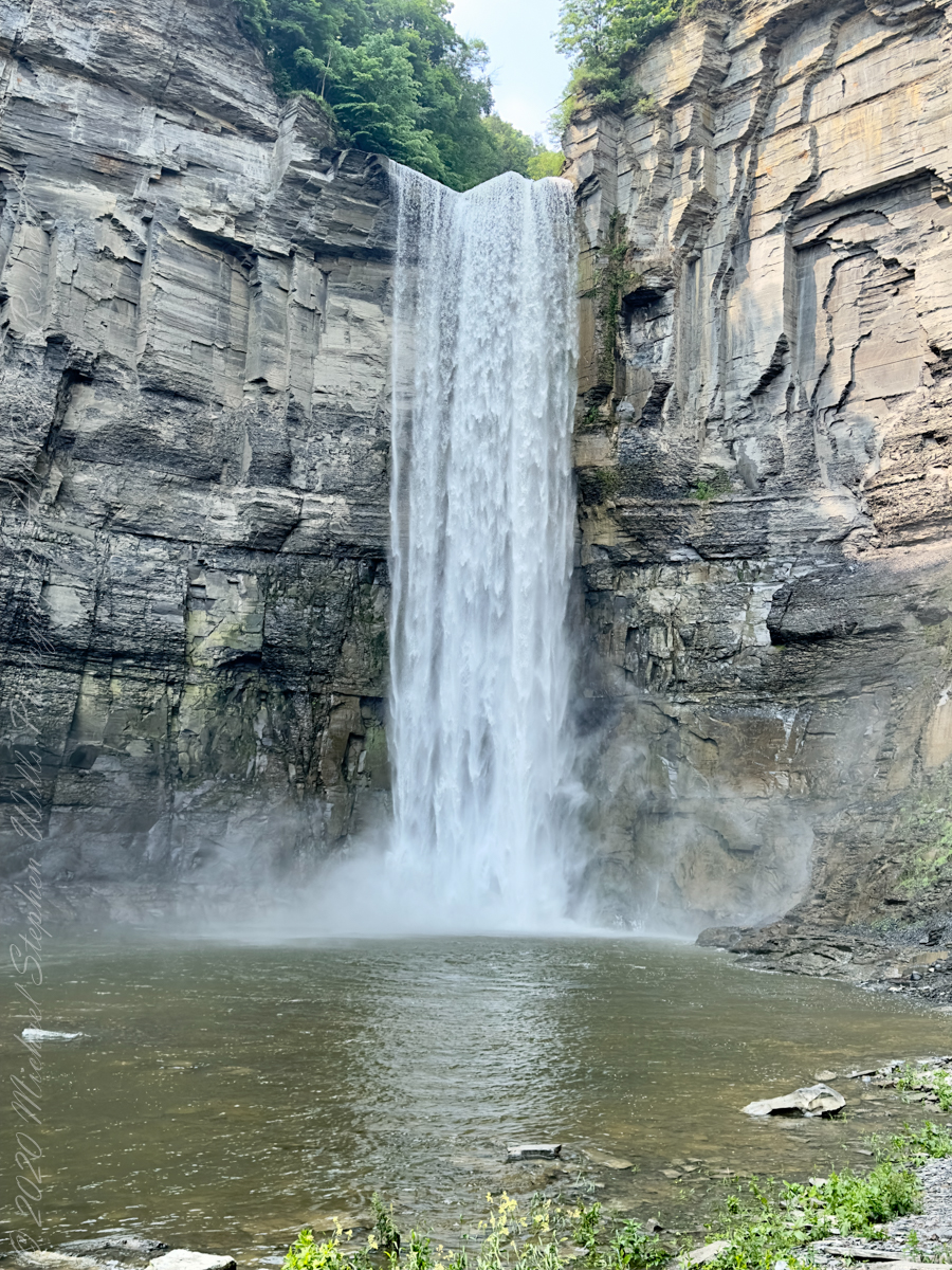
Taughannock Falls’ main cataract is a 215-foot drop (66 m), making it 33 feet (10 m) taller than Niagara Falls. It is the tallest single-drop waterfall east of the Rocky Mountains. The waterfall is located along Taughannock Creek, which flows through a long gorge with cliffs up to 400 feet (120 m) high.
Enjoy!!
Copyright 2023 Michael Stephen Wills All Rights Reserved
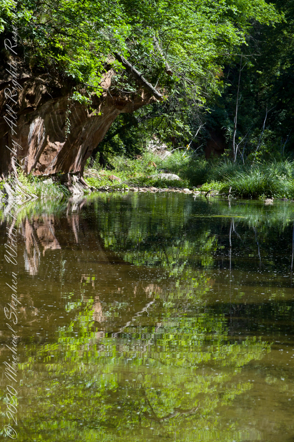
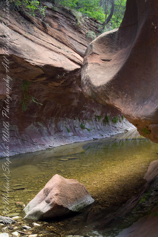
The fault of Oak Creek changes direction, here it forms a north/south gallery through Schnebly Hill Formation red sandstone for which Sedona is famous.
West Fork (108) Trail, Sedona, Yavapai County, Arizona
“Hello” from Oak Creek Canyon, “Photo by Pam Wills”
My Sony Alpha was in use during our October 16 drive to Fillmore Glen. As we traversed landscapes, autumn glory of Tompkins and Cayuga Counties was captured. Thank You, Pam, for driving.
Heading today’s post is a windshield shot, I’m loving the effect of a golden road.
During our walk, I used the Sony Alpha for a parallel series of shots to compliment the tripod mounted Canon. Here are some of those results.
Step up and over
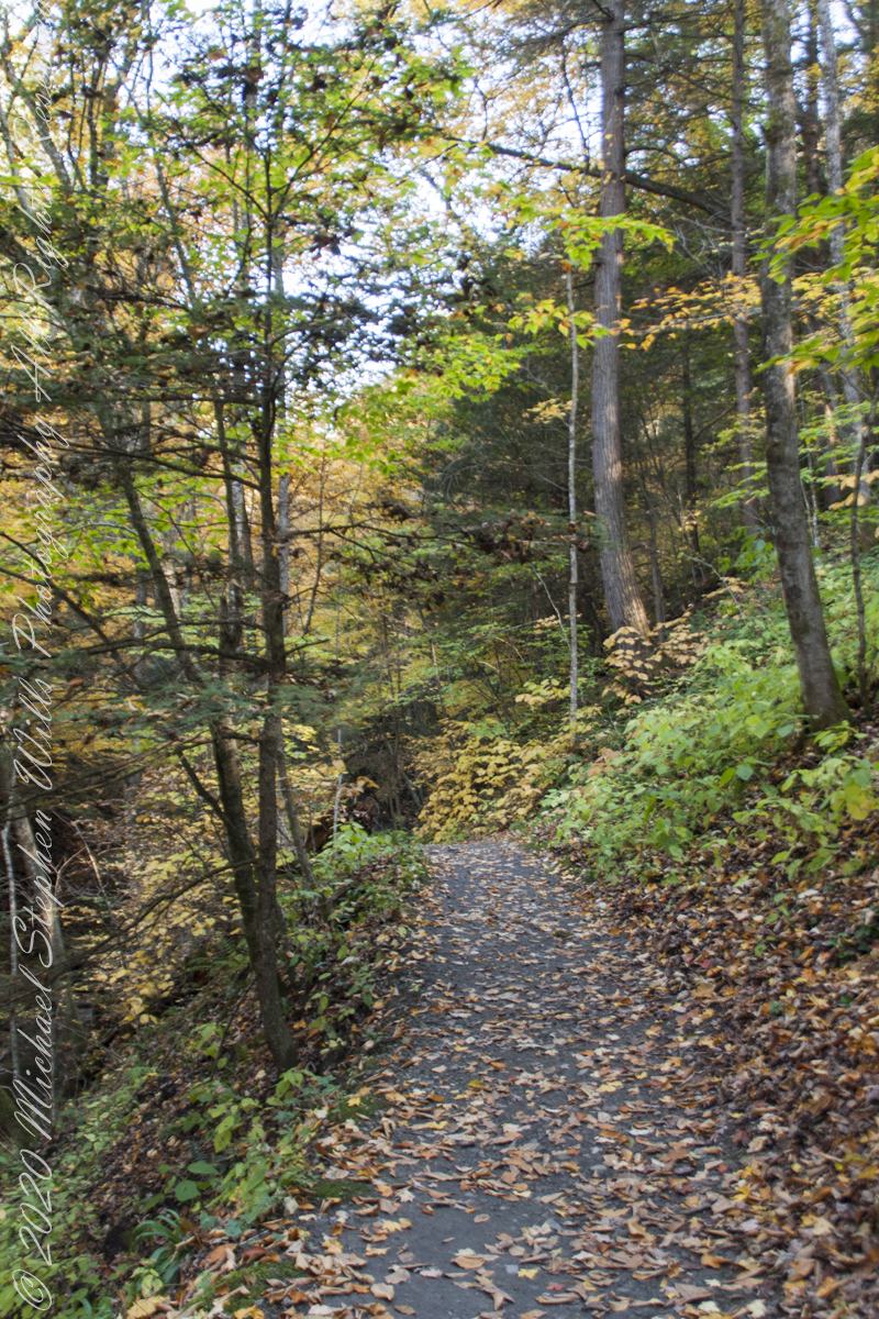
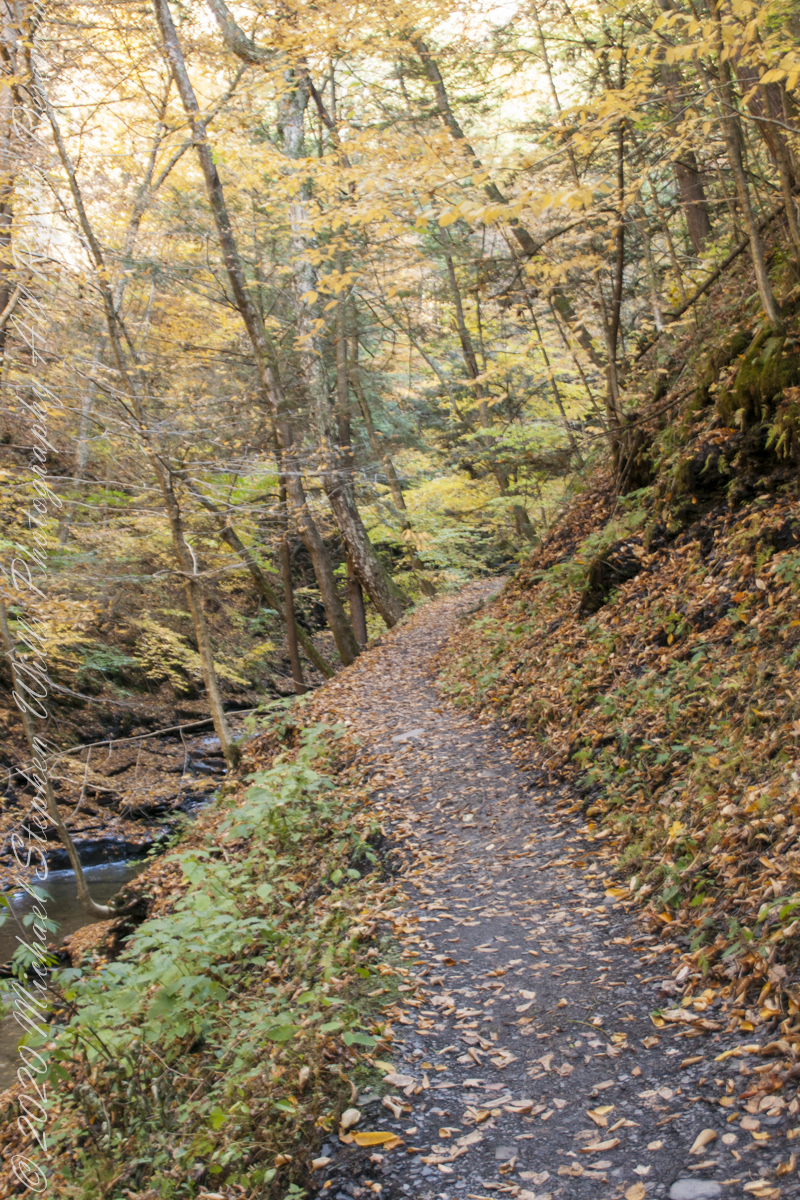
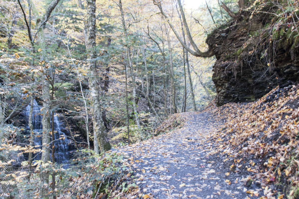
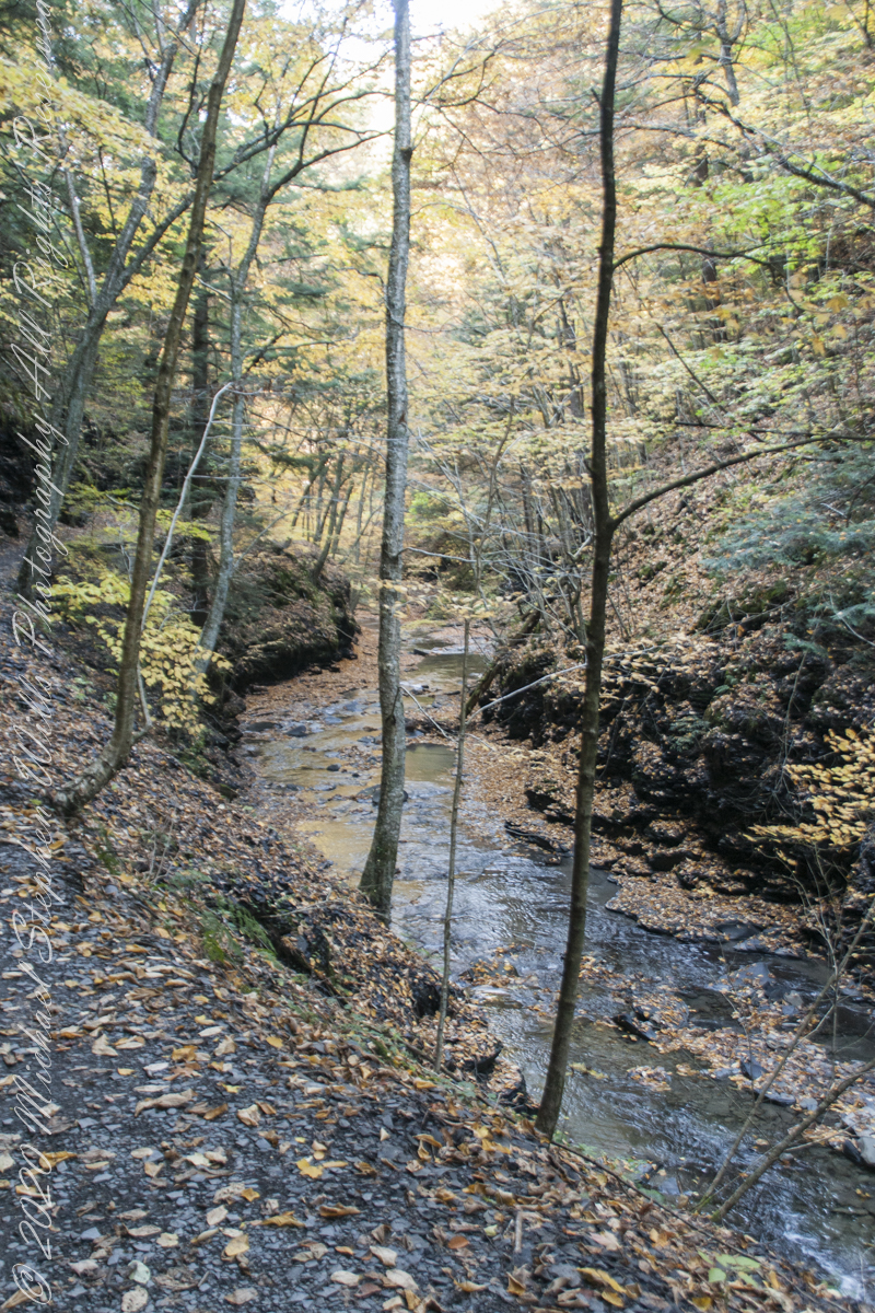
Enjoy this collection of Fillmore Glen pathways
AA
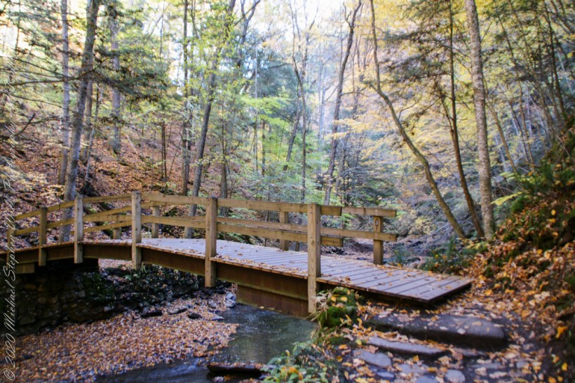
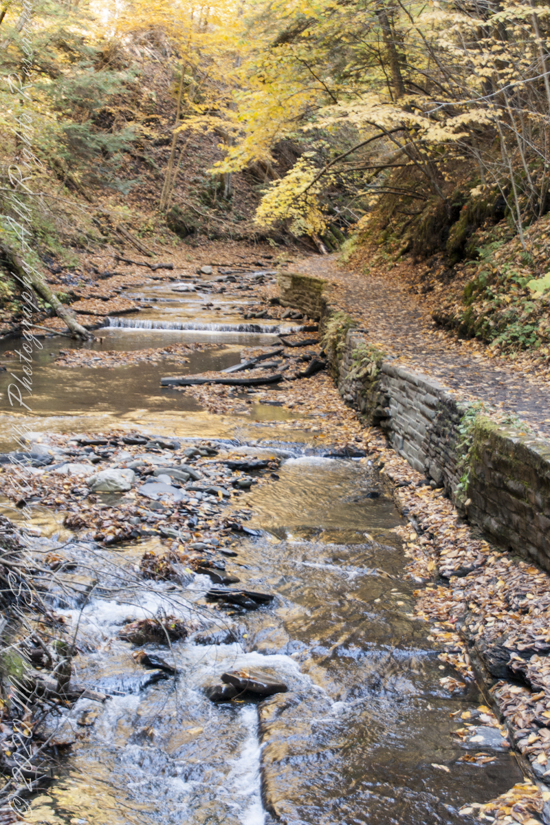
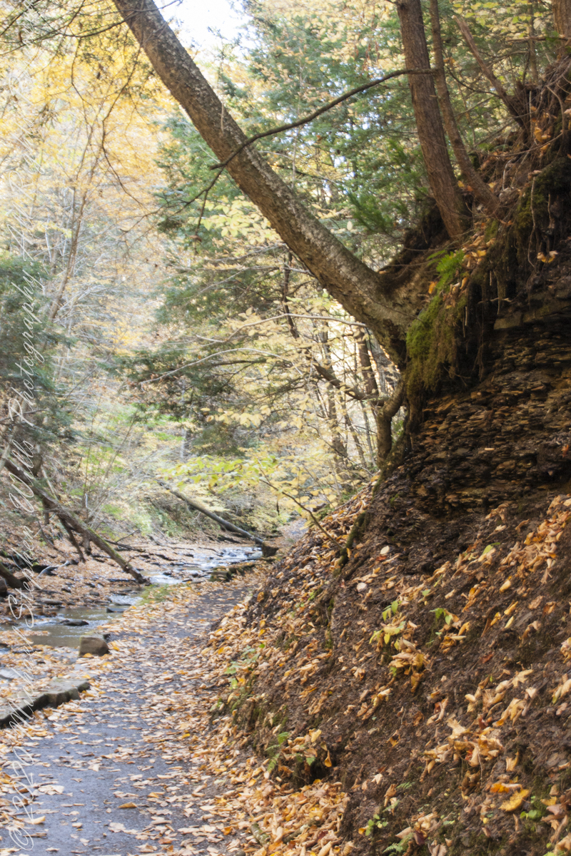
Fillmore Glen, New York State Park, Cayuga County, Moravia, New York
Copyright 2022 All Right Reserved Michael Stephen Wills
” I ventured up the gorge from bottom to this point where, blocked by an enormous shining emerald-colored ice wedge accumulated from the water pouring over the path in warmer months, I turned around”
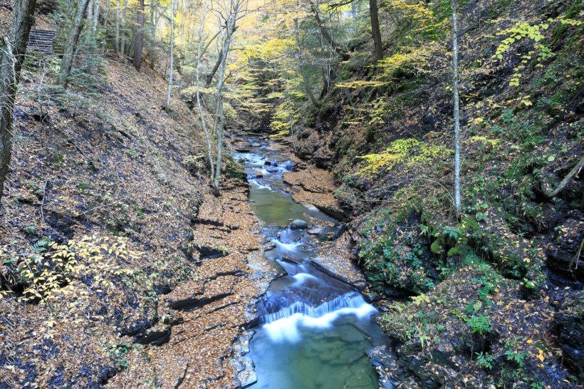
Between the metal walkway (see previous post) and the last numbered bridge, eight (8), the gorge narrows with sedimentary rock cliffs on either side, remnants of the forces that formed this rock in the form of water pouring from the porous stone flowing over the trail.
One February morning, equipped with climbing boots, crampons, gaiters, I ventured up the gorge from bottom to this point where, blocked by an enormous shining emerald-colored ice wedge accumulated from the water pouring over the path in warmer months, I turned around.
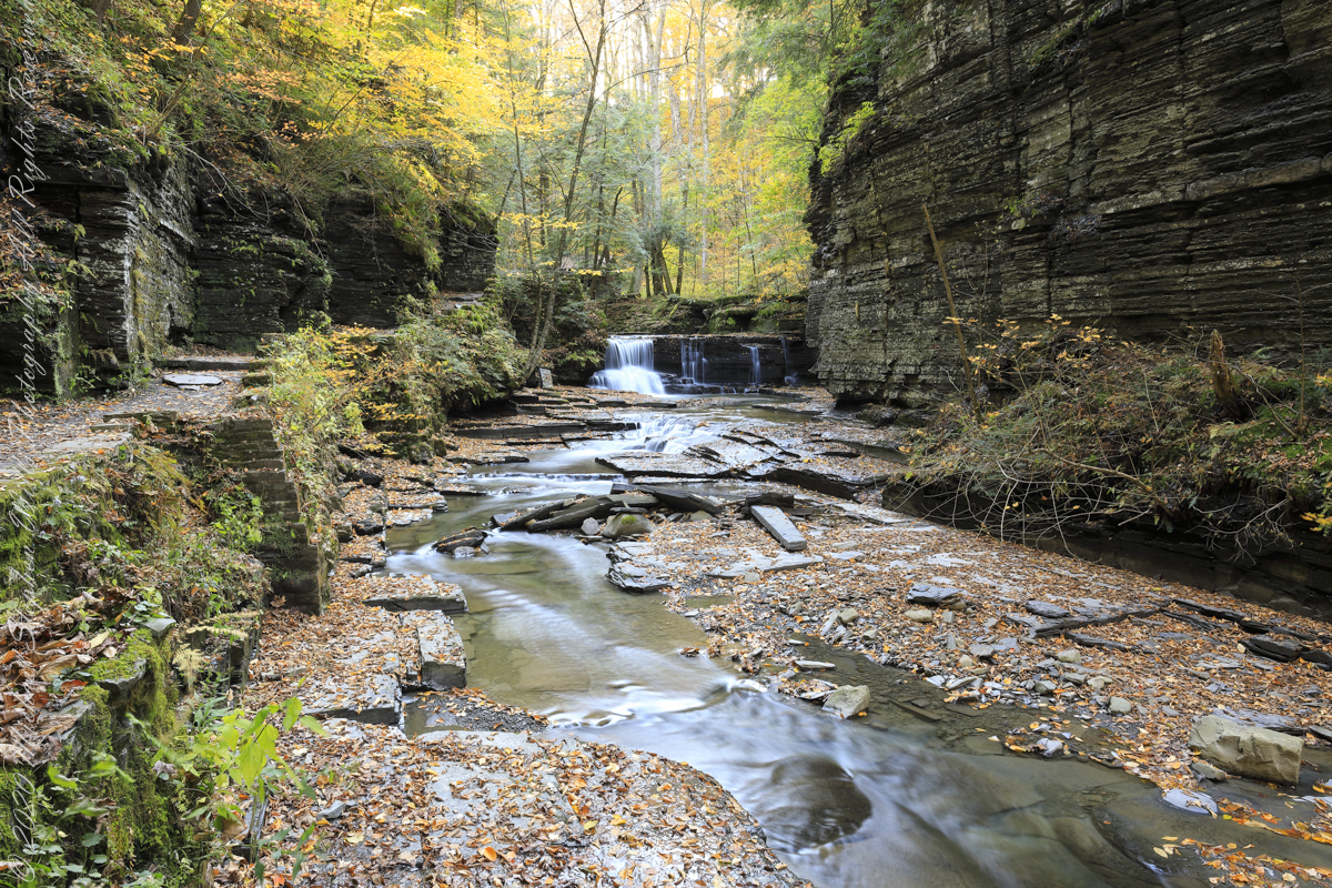
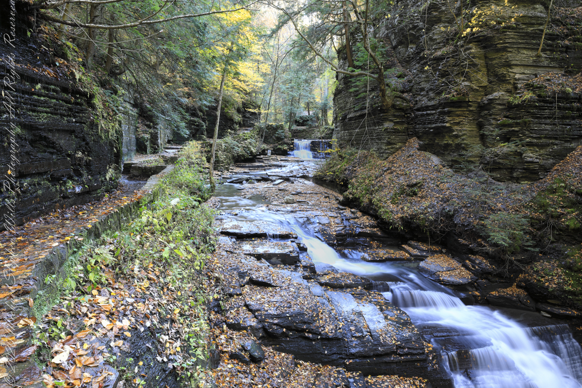
I call it a Waterfall Gallery for these walls bracing this wonderful collection of cascades in these photographs.
Waterfall gallery between bridges seven (7) and eight (8). Fillmore Glen, New York State Park, Moravia, Cayuga County, New York
A warm and cool versions of this spot.
Warm
Cool
Watch Your Step!!
Fillmore Glen, New York State Park, Cayuga County, Moravia, New York
Copyright 2022 All Right Reserved Michael Stephen Wills
Crossing bridge seven (7), “Lovers’ Bridge, we encounter this passage, from the earliest work of the Civilian Conservation Corps of the 1930’s. Stairs carved into the Cambrian cliff. These images are a combination of handheld Sony Alpha dslr and tripod mounted Canon captures. Can you tell the difference (please comment on your insights).
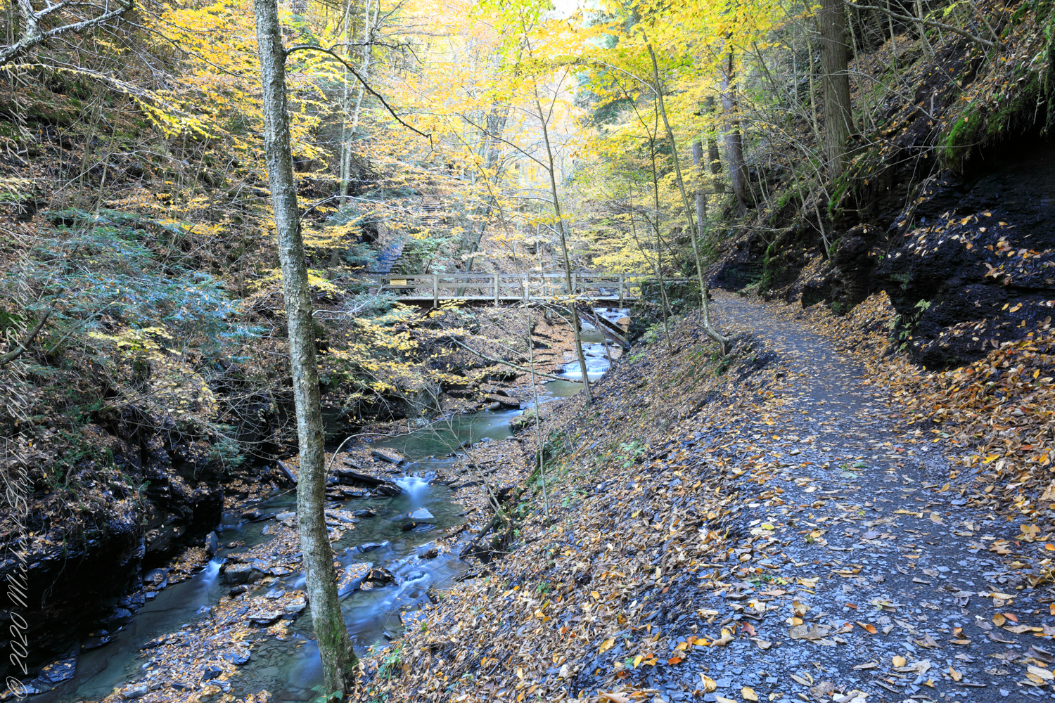
View from the new walkway
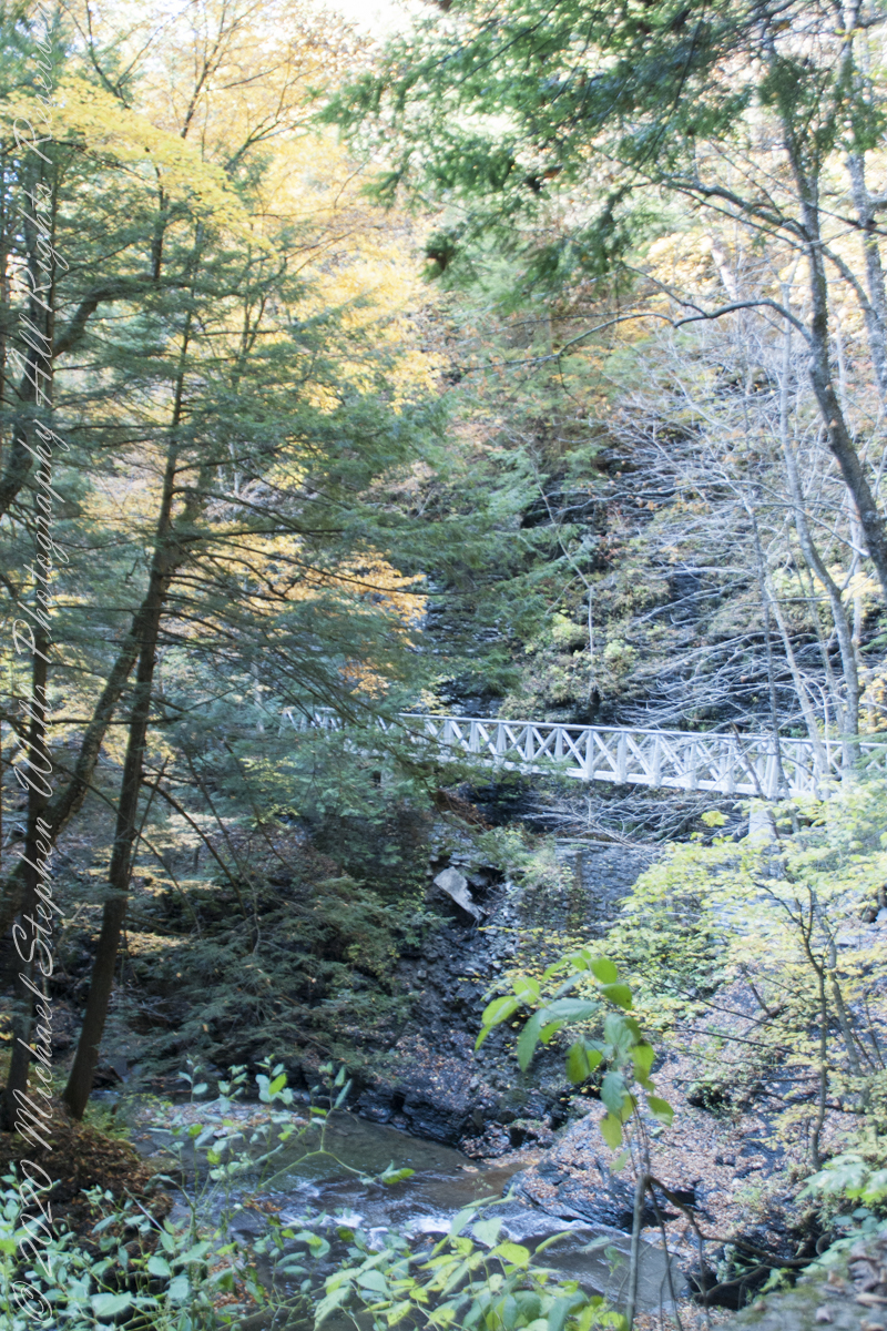
Looking back to the walkway installed this year. This span does not cross Dry Creek, is not included in the bridge count.
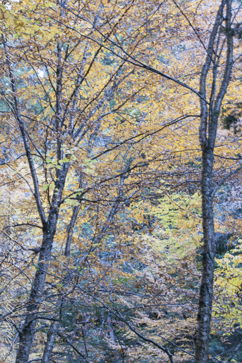
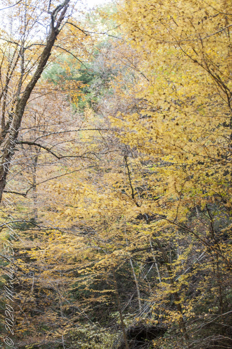
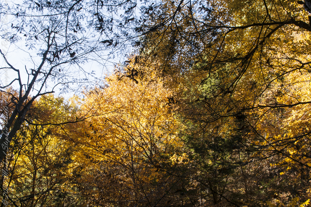
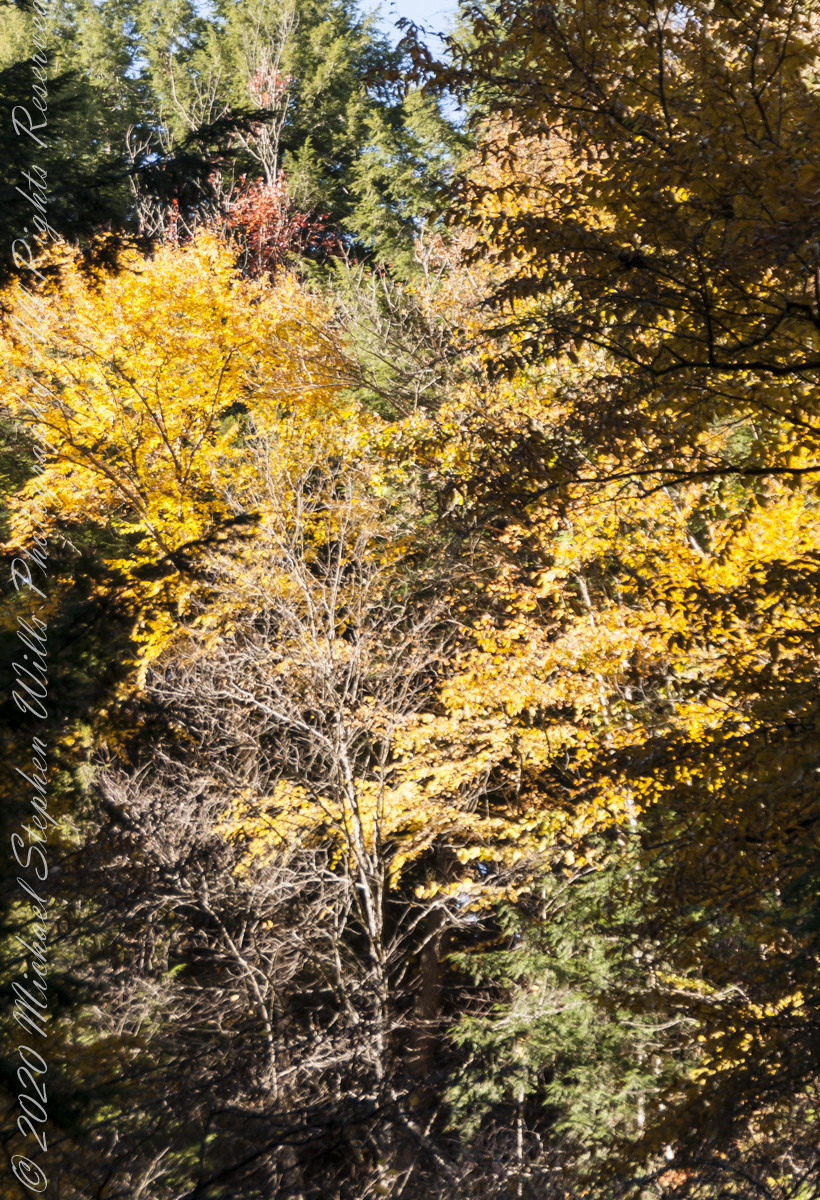
Overhead, the glorious autumn canopy
Fillmore Glen, New York State Park, Cayuga County, Moravia, New York
Copyright 2022 All Right Reserved Michael Stephen Wills
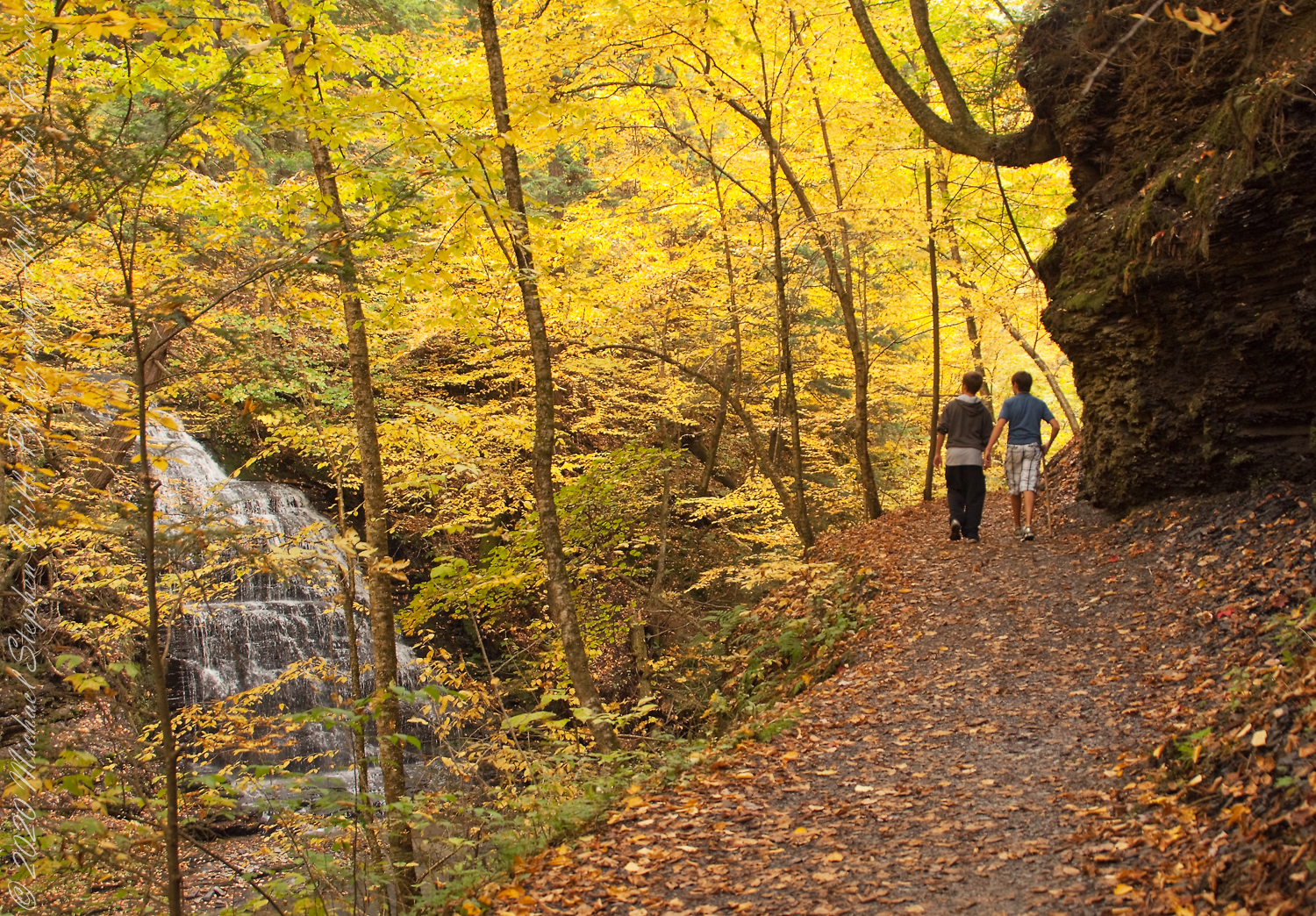
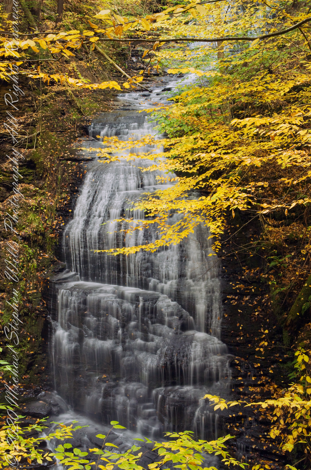
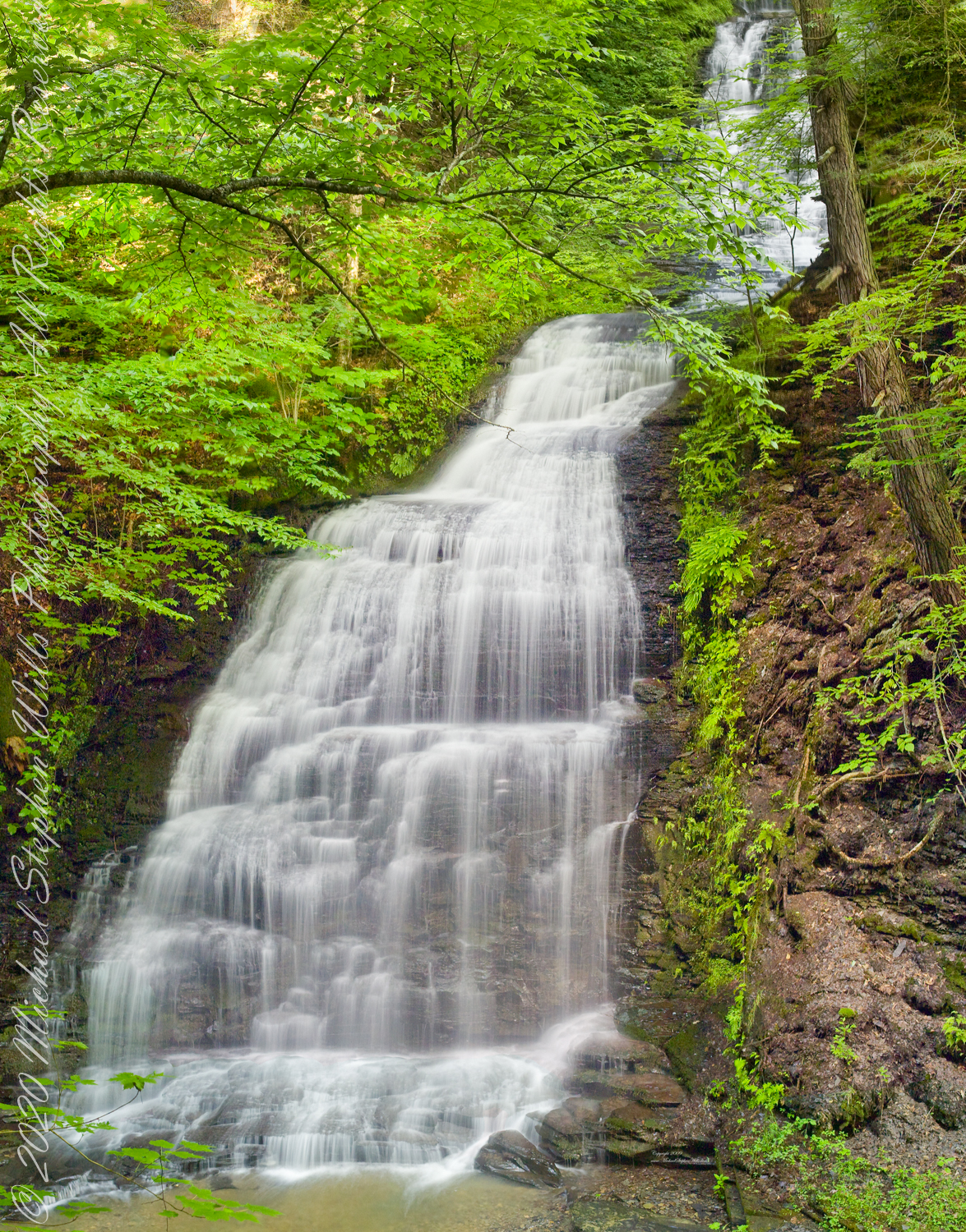
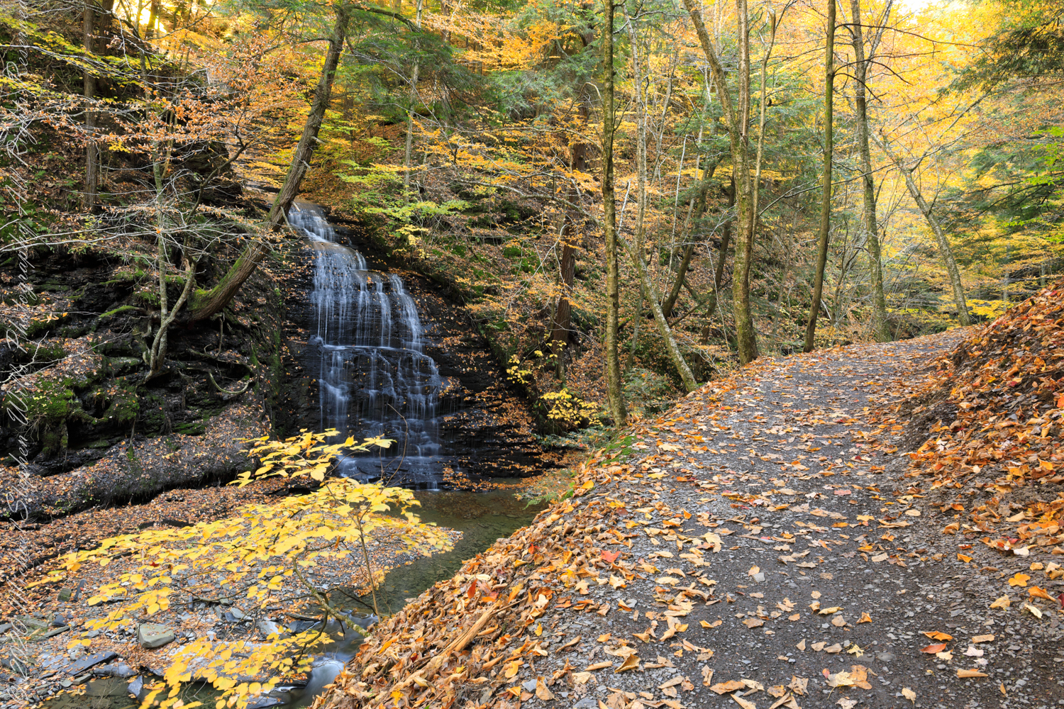
Between bridges six (6) and seven (7) on the Gorge trail a cascade comes down the canyon wall. Mid-summer this brook can dry out, the waterfall disappears leaving this spot naked of water.
Taken over a period of thirteen (13) years, the cascade was alive and well autumn-time. This year, after the summer drought our autumn rains were sparse, the flow is the lowest photographed.
“Friends”, Sony DSLR-A 700, variable lens set to 24 mm
Taken mid-October 2010, Kodak DSC Pro SLR-C, 50 mm lens
Taken late September 2009 before leaf turning, Kodak DSC Pro SLR-C, 50 mm lens
Autumn Peak 2022, Canon EOS 5D Mark IV, 24 mm lens
Copyright 2022 All Right Reserved Michael Stephen Wills