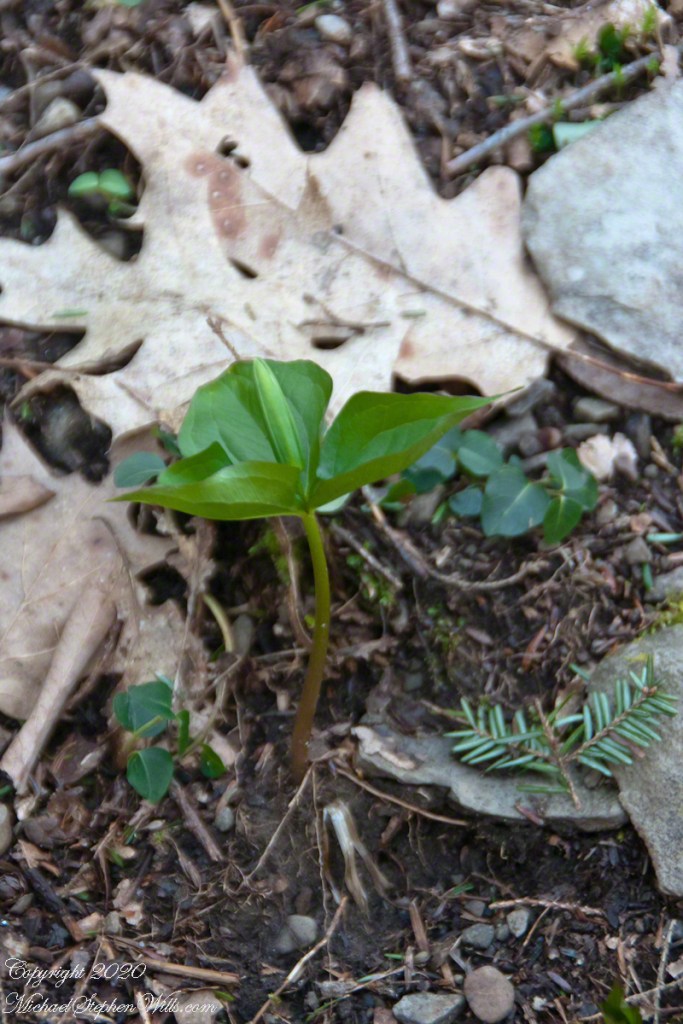
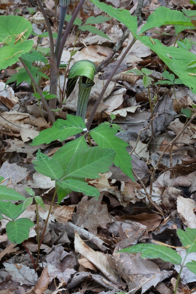
There are plants that announce themselves with banners and trumpets, and there are plants that exist in a vow of secrecy. The Jack-in-the-pulpit belongs to the second order. One does not so much find it as gradually become aware of being observed by it. There in the leaf litter of Sapsucker Woods, among last autumn’s oak leaves and the gray ribs of fallen branches, it rises like a small green minister in a woodland chapel.
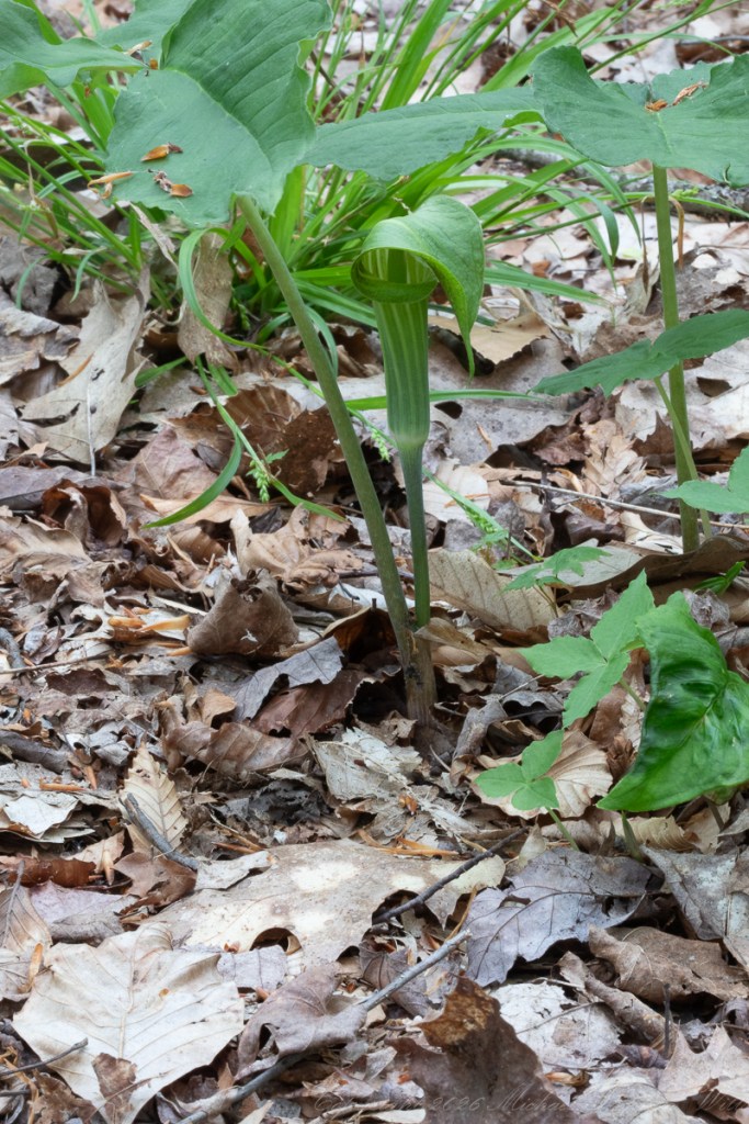
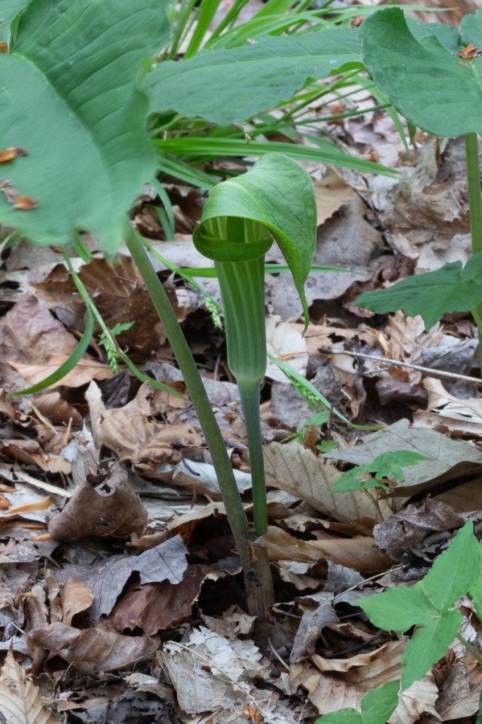
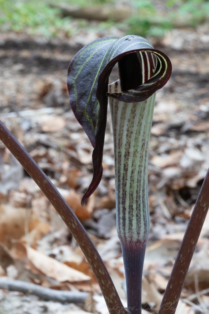
The flower is not showy in the usual sense. It has no bright face lifted to the sun, no petals flung open in invitation. Instead, it is architectural, hooded, inward. The striped spathe bends over the hidden spadix like a pulpit canopy, green outside and darkly veined within, as if the forest itself had written a sermon in shadow and chlorophyll. The longer I looked, the more it seemed less a flower than a presence: a woodland oracle with its hood drawn low.
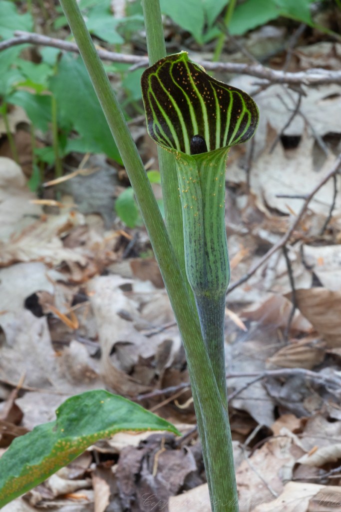
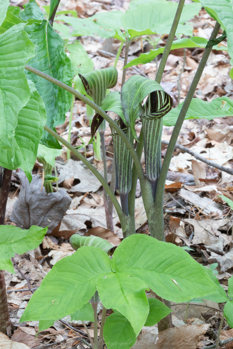
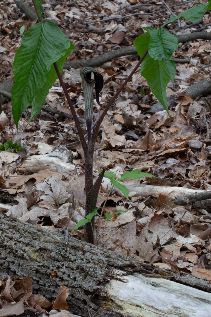
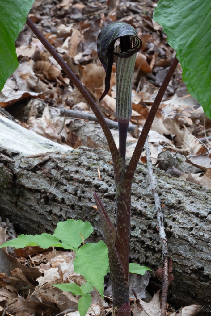
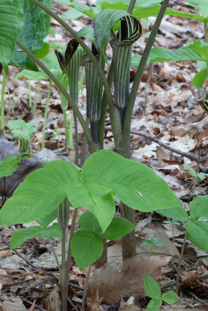
In one plant, the pulpit flares open, dark-rimmed and luminous inside, its pale ribs running upward like the beams of a tiny cathedral. In another, the hood folds forward modestly, nearly concealing the chamber beneath. A third rises darker, with maroon stems and a striped throat, standing between two leaves like a figure pausing mid-speech. The photographs catch these variations beautifully: the open herald, the shy novice, the cloaked elder, each rooted in the brown memory of last year’s leaves.
Sapsucker Woods in late spring is seldom silent, though its quiet is deep. Overhead, the trees are leafing into their first full confidence. The air carries the flute-notes of wood thrushes from farther back in the green shade, those liquid phrases that seem to fall from a height and then echo somewhere inside the listener. Red-eyed vireos begin their patient, conversational preaching from the canopy. A catbird gives its slate-gray improvisations from the understory, while chickadees stitch the edges of the path with quick notes. The season has a thousand small voices, but the Jack-in-the-pulpit listens more than it sings.
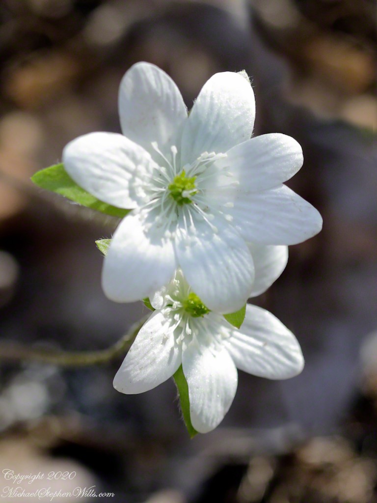
That is part of its charm. It is a plant of composure. Around it, the forest spends itself freely: trillium leaves widen, violets brighten the ground, ferns loosen their green scrolls, and mosquitoes rehearse their thin insistence. But Jack remains collected. Its sermon is not declaimed; it is withheld. It asks the passerby to kneel inwardly, to meet it at its own scale. In a hurried world, it is a lesson in standing still.
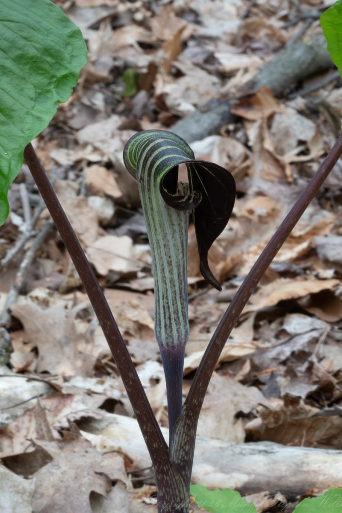
Georgia O’Keeffe might have understood this flower’s power: the way a close gaze enlarges the small until it becomes monumental. Seen from a distance, the Jack-in-the-pulpit is easily lost among leaves and stems. Seen closely, it becomes a world of line, chamber, curve, and shadow. The pale vertical striping inside the hood has the force of deliberate drawing. The dark rim of the spathe feels almost painted in, a border between secrecy and revelation. Its form is not delicate so much as concentrated—nature’s own green abstraction, folded around a mystery.
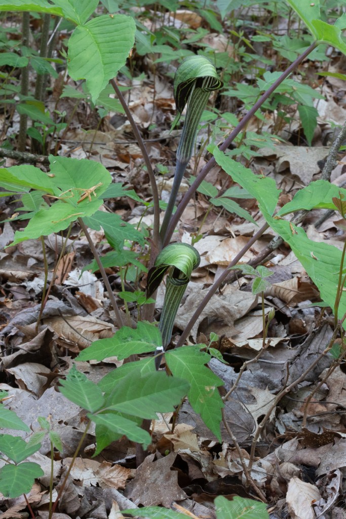
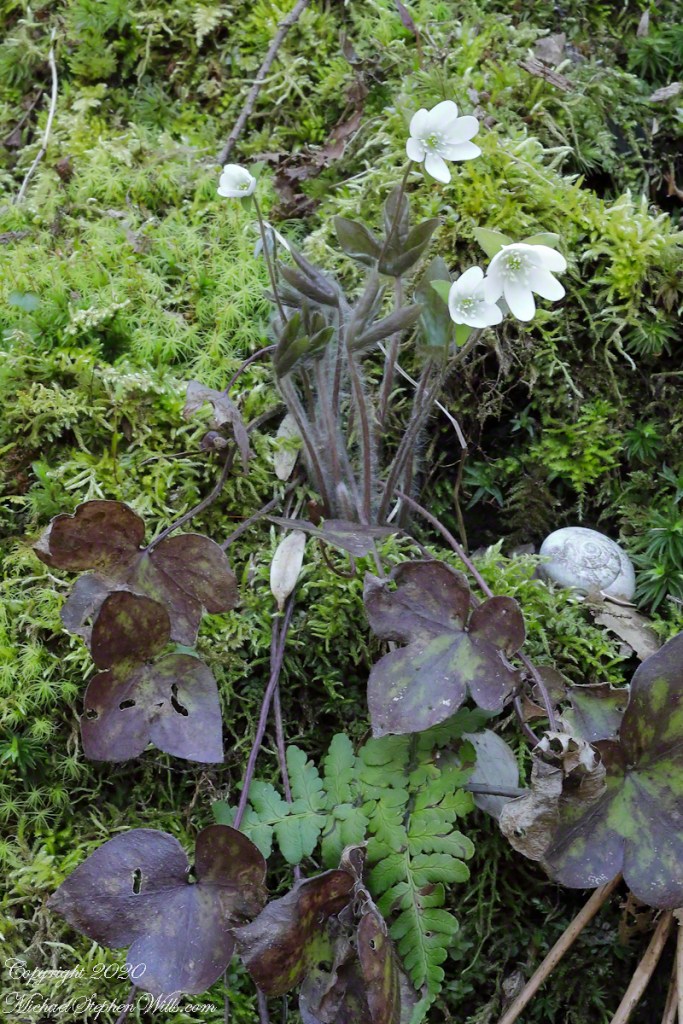
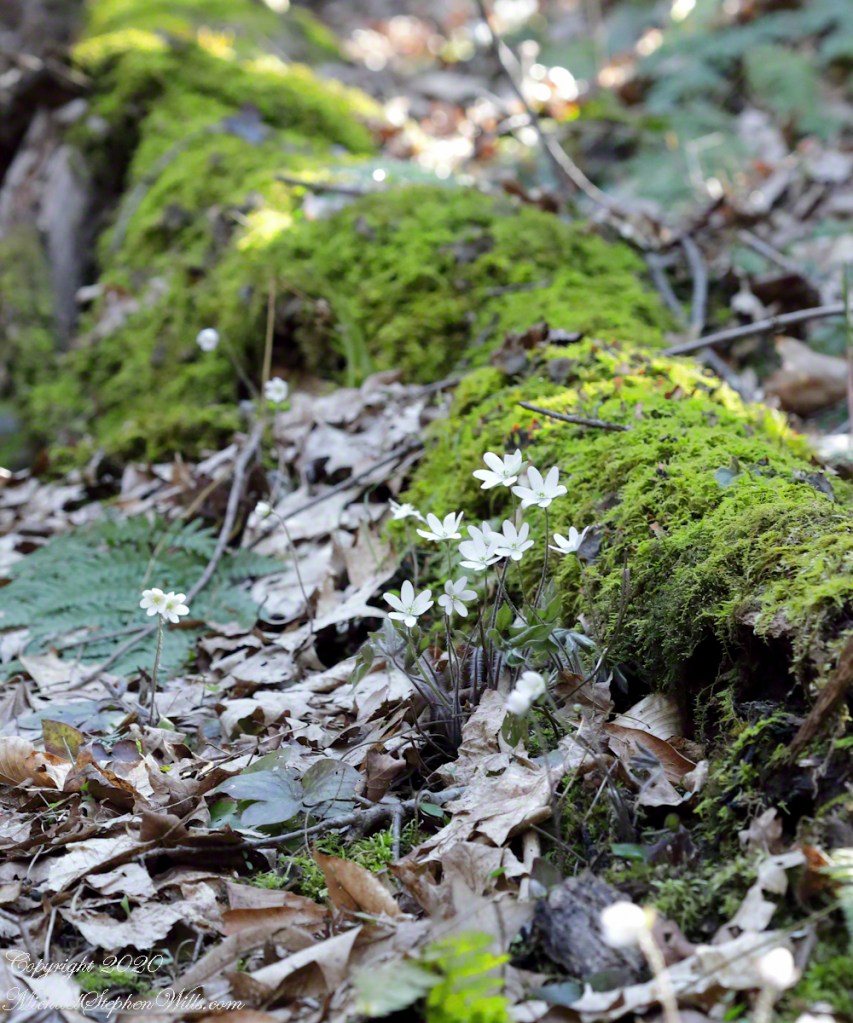
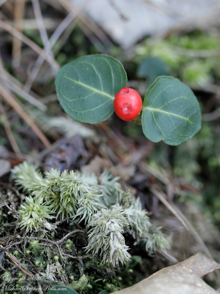
The woodland floor around these plants is a text in itself. Dry beech and oak leaves lie curled like old parchment. Sticks and roots cross the scene with accidental calligraphy. The fresh green leaves of the plant rise cleanly from this litter, making a contrast between decay and renewal so perfect that no moral needs to be supplied. The forest does not discard its past; it feeds upon it. Beneath every new hood and leaf is the slow generosity of what has fallen.
The Jack-in-the-pulpit is exactly the sort of neighbor that repays attention. It does not demand admiration; it rewards intimacy. Bend close and the lines appear, the subtle color, the strange animal vitality of the hooded form. Step back and it disappears again into the leafy congregation. It is a flower with the manners of a secret.

I was struck, especially, by how human we make it. We call it Jack, give it a pulpit, imagine it preaching. Yet perhaps the plant is not humanized so much as we are humbled into plant-like patience. Its chambered flower, its folded canopy, its upright poise—all suggest a ritual older than our metaphors. Before churches, before pulpits, before sermons, there were green hoods rising from the spring earth, gathering insects, light, and rain into the quiet business of being alive.
By the time I left, the birdsong had thickened. The woods were awake in layers: high song, low leaf-rustle, the soft give of the trail underfoot. Behind me, the Jack-in-the-pulpits remained at their posts, small sentinels of the damp shade. They seemed to keep their own counsel, and that was their gift. Some flowers brighten the day; these deepen it. They are not exclamation points in the forest, but parentheses—curved, shadowed, and full of meaning.