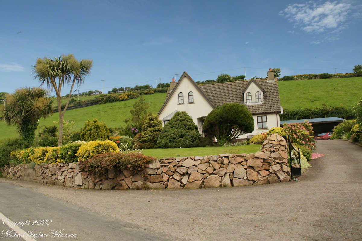
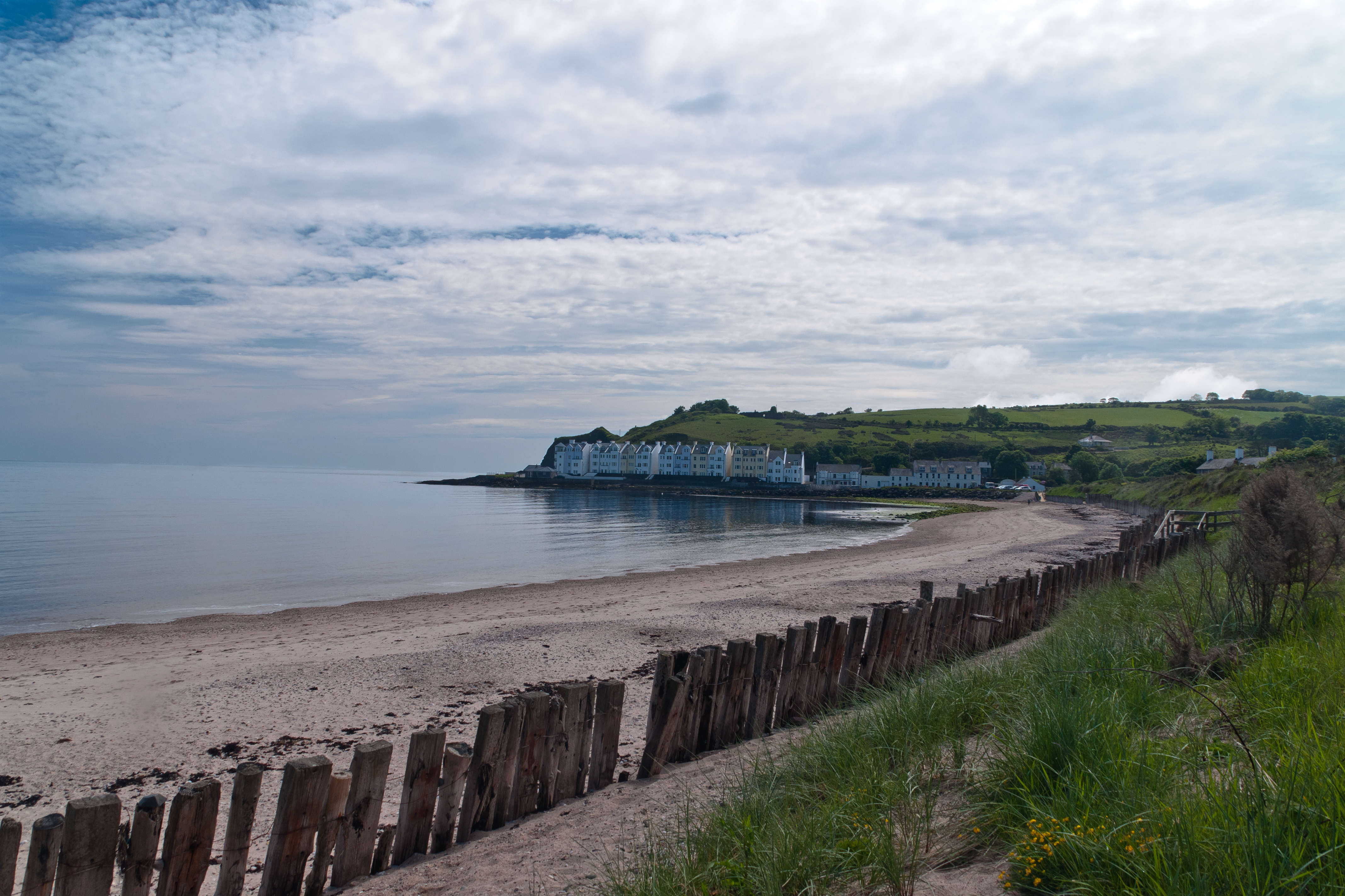
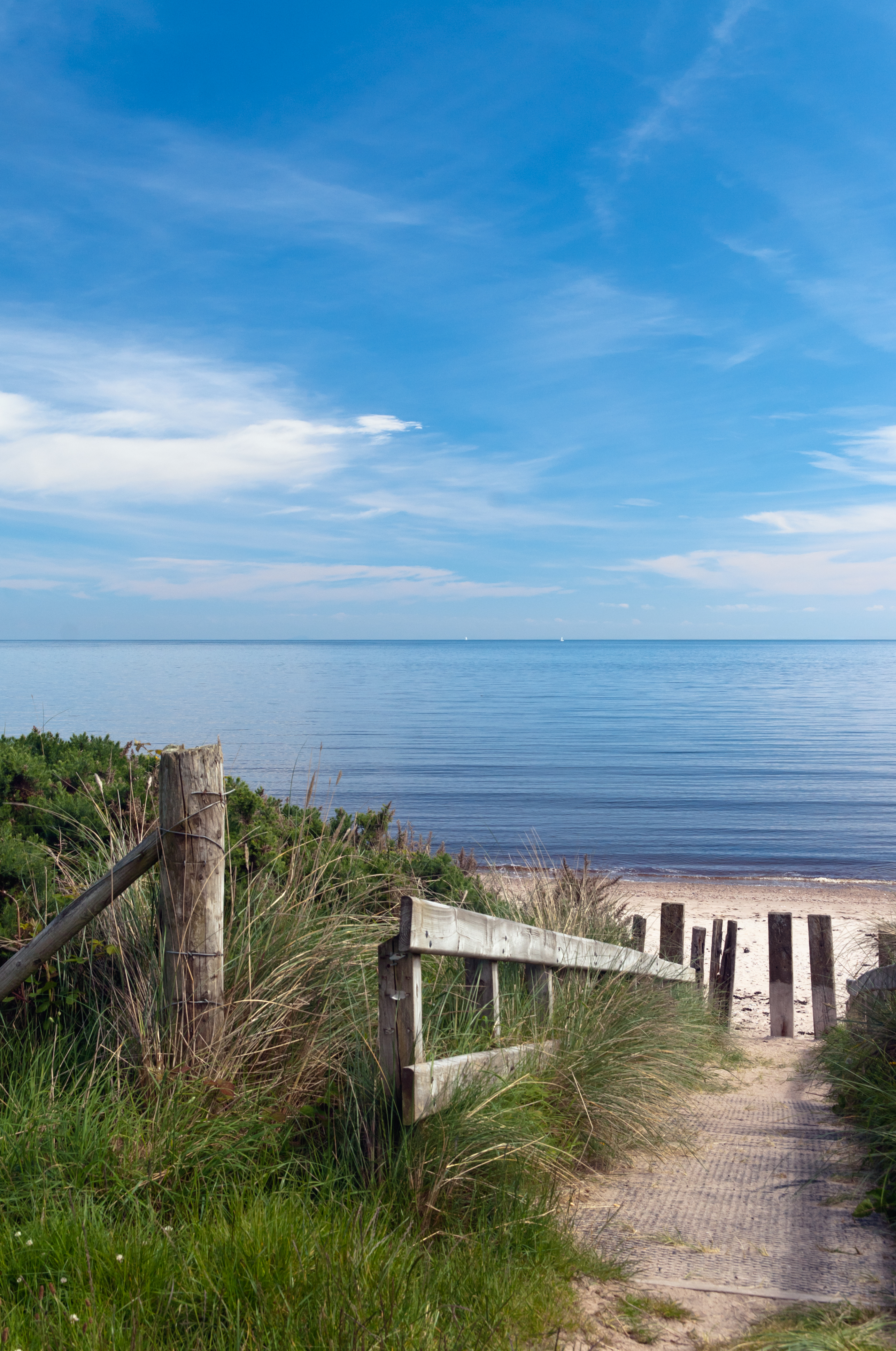
Cushendun (from Irish: Cois Abhann Doinne, meaning “foot of the River Dun”) is a small coastal village in County Antrim, Northern Ireland. It sits off the A2 coast road between Cushendall and Ballycastle.
It has a sheltered harbor and lies at the mouth of the River Dun and Glendun, one of the nine Glens of Antrim. The Mull of Kintyre in Scotland is only about 15 miles away across the North Channel and can be seen easily on clear days.
In the 2001 Census it had a population of 138 people. Cushendun is part of Causeway Coast and Glens district.
SONY DSC
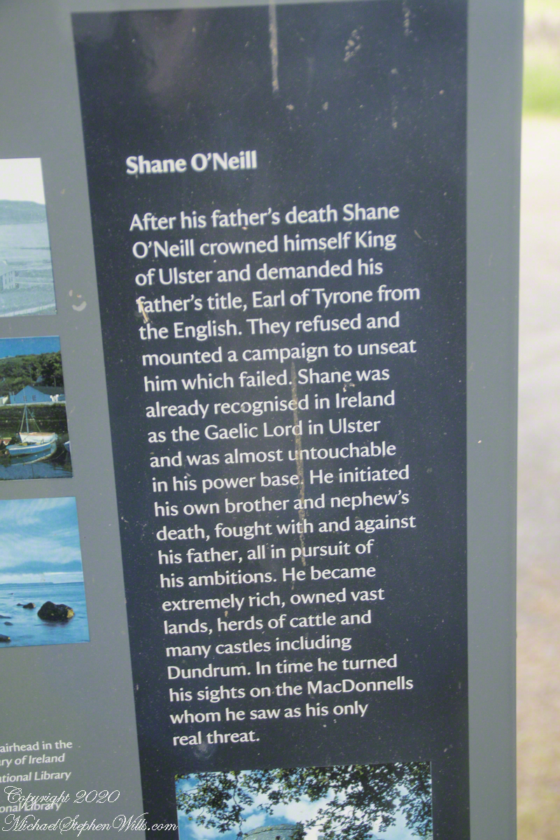
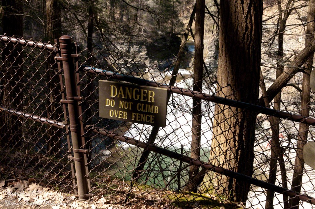
Here are several of the information placards near the harbor explaining some local history.
.
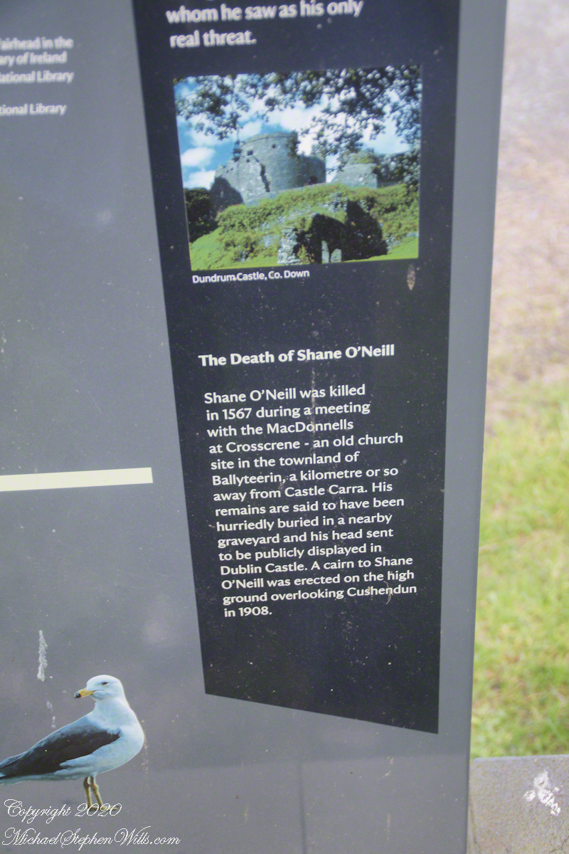
Ballyteerin townland, where Shane O’Neill was killed, is on the road to Torr Head.
Reference: Wikipedia, “Cushendun.”
Enter your email to receive notification of future postings. I will not sell or share your email address.
Copyright 2025 All Rights Reserved Michael Stephen Wills
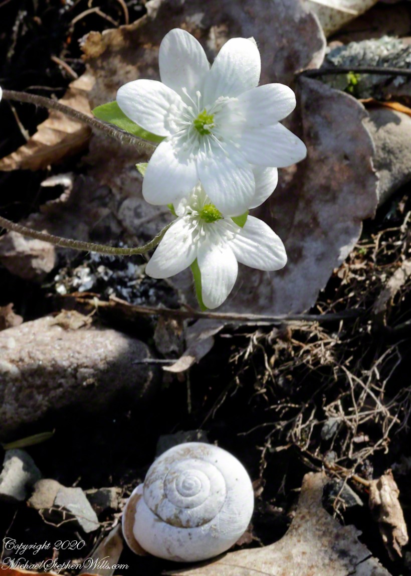
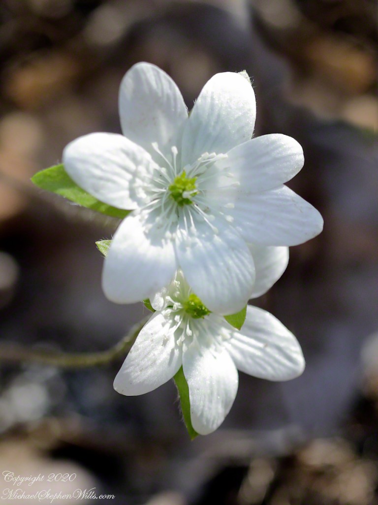
Hepatica blossoms are the focal point here. Two land snail shells rested fortuitously below, a white and dark brown. The white shell (Scientific Name: Neohelix albolabris) is seen here. In life, the shell aperture reflective lip gives the species name, from Latin root words “albo” (white) and “labris” (lip), and the popular name, “Whitelip.” Look closely to see a series of ridges, an identifying feature apparent in this specimen. There was a live specimen in our yard, just yesterday. Busy with chores, no camera at hand.
Click photograph for a larger view. To do this from WordPress Reader, you need to first click the title of this post to open a new page.
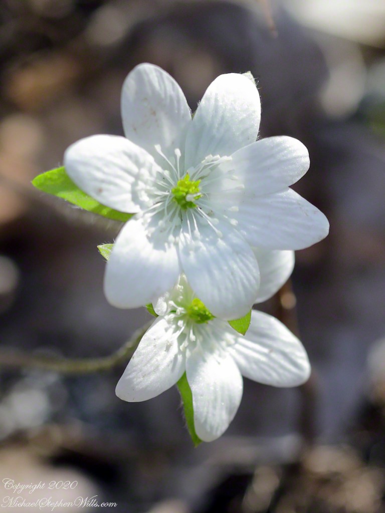
Seconds after taking this shot, at f/4, I changed the f-stop to 29 and captured these blossoms with the environment in focus (yesterday’s posting). At f/4 focus is a challenge and I was not happy with the detail of the foreground blossom.
Click photograph for a larger view. To do this from WordPress Reader, you need to first click the title of this post to open a new page.
before dual pixel adjustmentafter dual pixel adjustmentDual Pixel Raw comparison
I am in the experimentation phase of learning the new camera, so in spite of the 100% file size increase I turned on the Dual Pixel Raw feature. The two photos are from the same file. My impression is the adjustment improved the foreground flower details. Is it my imagination?
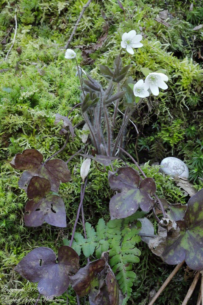
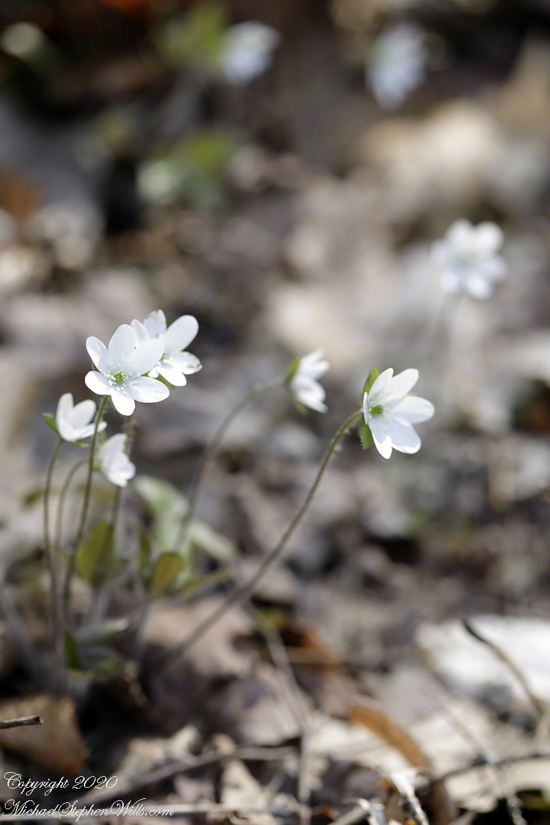
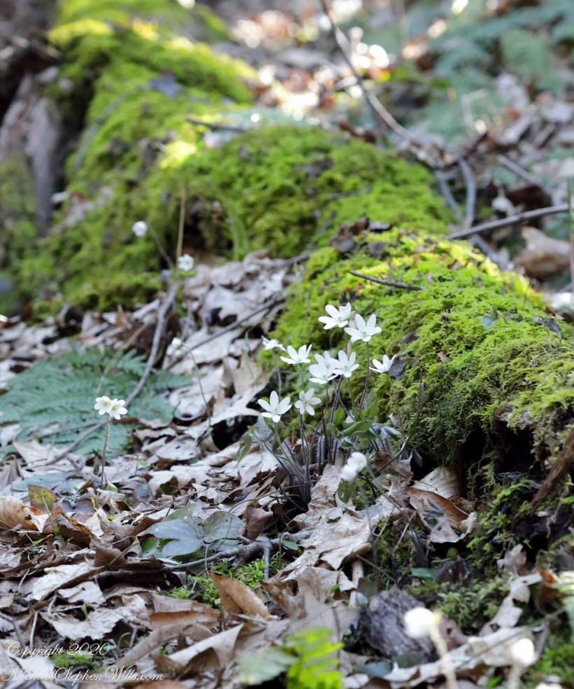
Hepatica positioned perfectly above the trail, sprouting from moss, a grouping of the plant and flowers.
Scientific Name: Hepatica nobilis var. obtusa. I found the two land snail shells this session, I identified it as Neohelix albolabris, and positioned it in this shot to lend interest. In a future posting you will see the shell where it was found.
Click photograph for a larger view. To do this from WordPress Reader, you need to first click the title of this post to open a new page.
Hepatica Blossoms
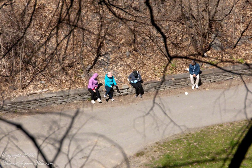
Six unrelated young adults, all female and without masks, not following social distancing guidelines, passed as a group just before I set up for this shot. I heard them coming and made plenty of space between them and me. COVID-19 testing in Tompkins continues to find several positive cases each week.
Finding an appropriate combination of settings for this grouping was a puzzle. My goal was to bring the flowers and surrounding into focus with intermittent breezes. The f-stop needed to be high to accommodate the depth with minimal exposure duration as the flowers moved in the slightest breeze. The solution was a high ISO (2500) and f-stop (32), yielding a 1/3 second exposure (Not fast). The compromise was patiently waiting for a break in the breezes.
Gallery of Flowers in this series
Copyright 2024 All Rights Reserved Michael Stephen Wills
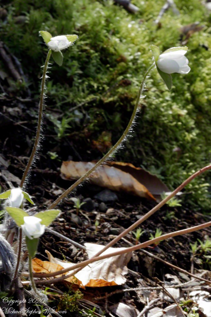
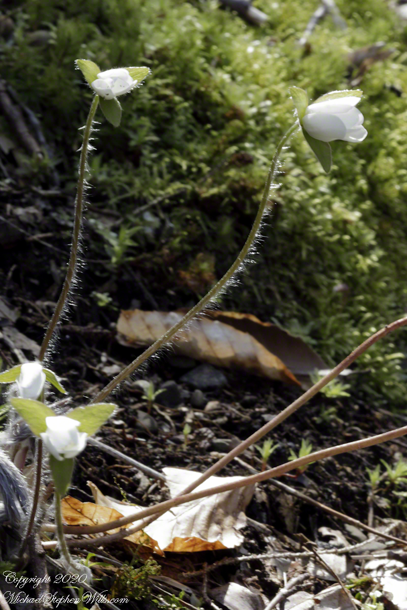
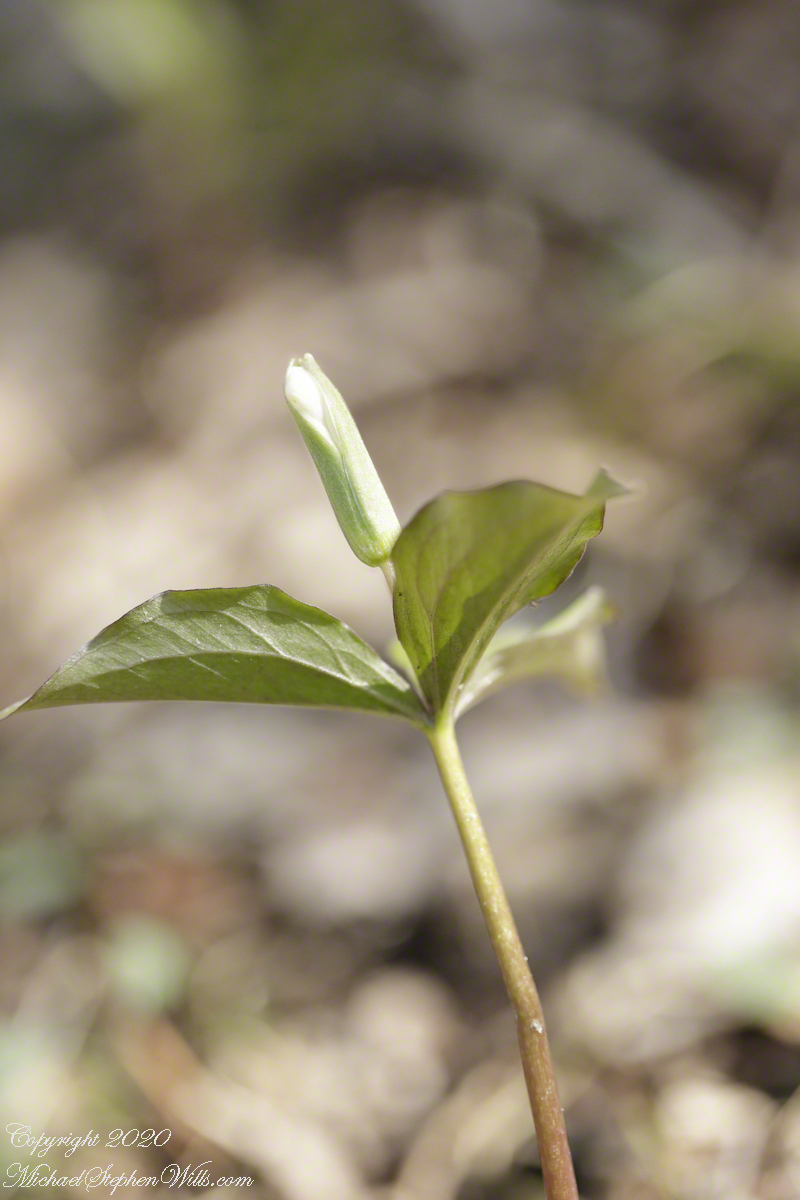
Just opened flowers on long hairy stems, tiny anemones. A crawl and tripod we needed to capture these. The scene scale is revealed by the dried leaves from last autumn.
Click photograph for a larger view. To do this from WordPress Reader, you need to first click the title of this post to open a new page.
Hepatica Blossoms
I call these anemones from the disputations among taxonomists. All agree there is some relationship and differ in the degree. Classifications add a designation “tribe” before genus (hepatica). Alternatively, the genus is designated Anemone instead of Hepatica . A common name for anemones is “wind-flower” for how the flower is sensitive to a slight breeze, on these long stems.
This is the first hepatica capture of the session. There was no breeze at this time and the ISO is 800, f-stop 29 (lending some definition of the background, less than I’d expect) and a relatively slow exposure of 1/4 second. The 100 mm macro lens on a tripod mounted camera.
Gallery of Flowers in this series
Reference: Wikipedia article, “Hepatica.”
Copyright 2024 All Rights Reserved Michael Stephen Wills
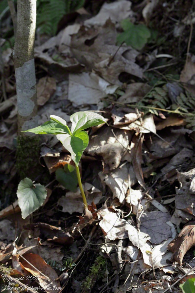
Here we have two photographs from the end of the April 20, 2020 session. I finished a series of macro Hepatica and, tired (emotionally, not physically) and not wanting to step up the slope, captured the following grouping of a single Red Trillium, lit by a bolt of sunlight, White Hepatica, fern and the budding White Trillim from yesterday’s post. Not the same trillium, a continuation of all the individuals in bud.
Click photograph for a larger view. To do this from WordPress Reader, you need to first click the title of this post to open a new page.
On the South Rim Trail of Robert H. Treman New York State Park. April 19, 2020.Wildflower Grouping
These were 15 feet or so up the slope above the South Rim Trail. I used the 100 mm macro lens, with the spring breezes ISO set to 2500, f/5.6 for a 1/200 exposure.
Not far away, also upslope, was this flower grouping against a moss covered log. Park forestry leaves fallen trees in place to return to the soil. Camera settings are the same.
Lobe leaved Hepatica
Both photographs were handheld.
Copyright 2024 All Rights Reserved Michael Stephen Wills
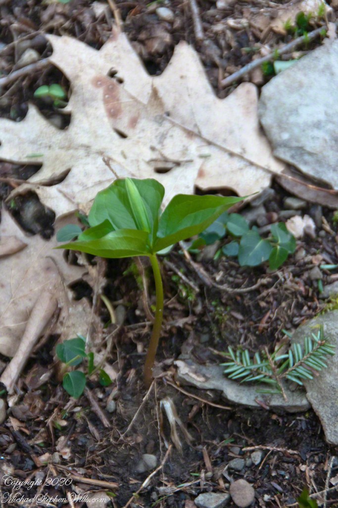
Wildflowers flourished where the slope turned to the north and late afternoon light spread across the small ravine created by a small stream. This early in the season White Trillium buds were forming between three green bracts.
Click photograph for a larger view. To do this from WordPress Reader, you need to first click the title of this post to open a new page.
Trillium Grandiflorium
The above photograph taken handheld with a variable zoom lens captures the plant and environment. On the forest floor is twig of hemlock, probably knocked off by squirrels feeding on the tiny cones. Oak leaves from last season frame the dark green bracts. We also see a few wintergreen leaves and the rich soil.
With the low light ISO is 2000, the f-stop of 5.6 allowed crisp details of the hemlock and wintergreen, the focus is soft on the oak leaves. Where is topography allowed sunlight, the White Trillium were a bit further along. Here is a bud opening.
Trillium Grandiflorium
Here I used a travel tripod and a macro lens with f-stop opened up to 3.2, not lens maximum, and all but the forward bract tip are in focus. A lower camera angle places surroundings in distance, allowing all to be blurred unrecognizable: the plant is the star of this shot. ISO 800 with the ample light. I was struggling with the spring breezes, having to wait for a break to take each exposure.
Copyright 2024 All Rights Reserved Michael Stephen Wills
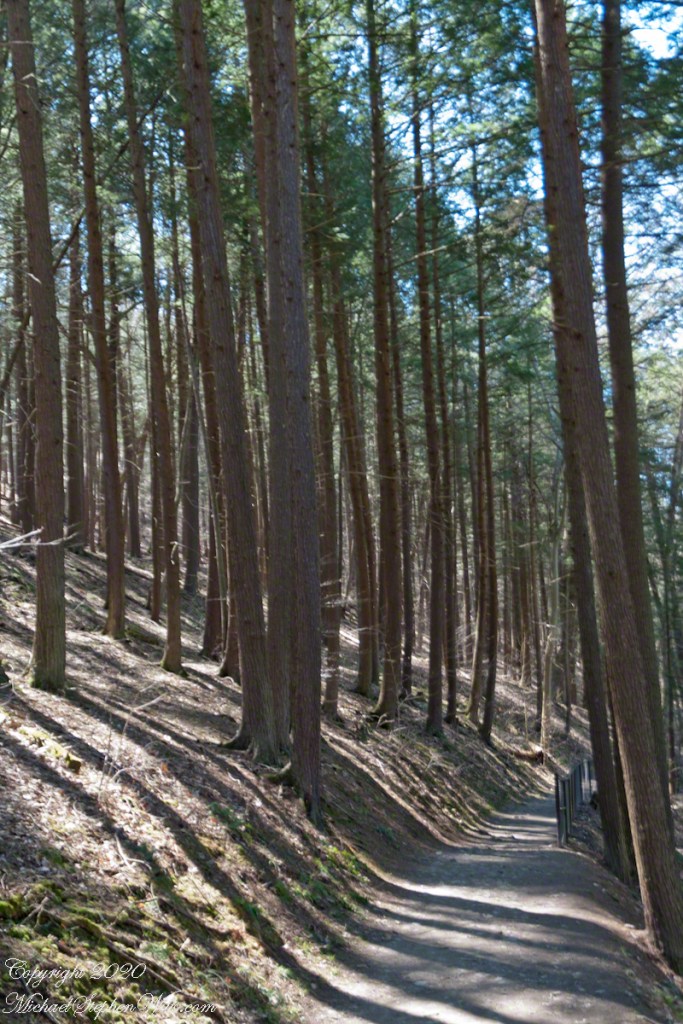
One hundred and fifty feet in a series of steep climbs is the effort expended to reach the relatively level portion of South Rim Trail where the tall Red Pines briefly reign. Here the trees thrive on the northeast facing slope. They grow in this way in one other location, in the upper park, on an eponymous trail.
Encounters with groups of people descending always demanded I step off the trail to allow social distancing. Everyone work a flimsy face covering, although Governor Coumo’s order covers situations where social distancing is not possible. As of you, we do not have the loose masks; but only the N95 or a full respirator (both acquired very early on, our respirators were purchased for spreading lawn chemicals and spray painting).
Click photograph for a larger view. To do this from WordPress Reader, you need to first click the title of this post to open a new page.
Red Pine
Red Pine (Pinus resinosa), also know as Norway Pine, shed pollen prolifically. Some Aprils my boots are covered with it, a dusting of yellow. Not today.
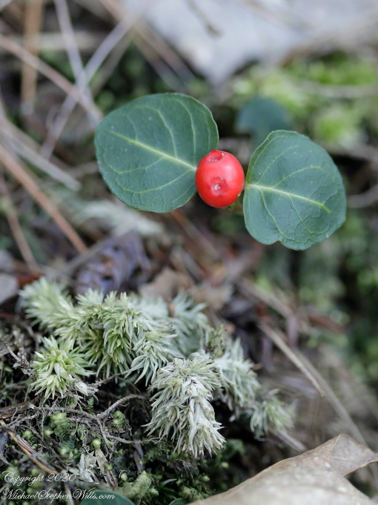
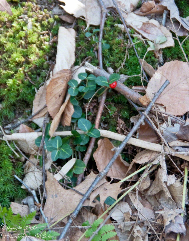
Wintergreen with Red Berry
A species easy to spot among the green, an example of a shrub of the genus Gaultheria, though a very small specimen. The common name is wintergreen and I have never found larger specimens in Treman park. It is growing among the mosses on the wall of Enfield Glen South Rim.
Macro, Red Berry and Leaves of Wintergreen with unidentified moss
The tough wintergreen leaves endue the cold seasons, the name is synonymous with evergreen.
Both shots are handheld, the macro is from a 100 mm “macro” fixed focus lens. ISO 2500, the f-stop to be wide open at 2.8 to gather the sparse light and present the subjects, blurring the immediate background. The overview shot is also a high ISO, 2000, the f-stop 5.8 on a variable focus lens set to 60 mm.
Copyright 2024 All Rights Reserved Michael Stephen Wills
This series of posts opens with the ascent to where the wildflowers grow.
Click photograph for a larger view. To do this from WordPress Reader, you need to first click the title of this post to open a new page.
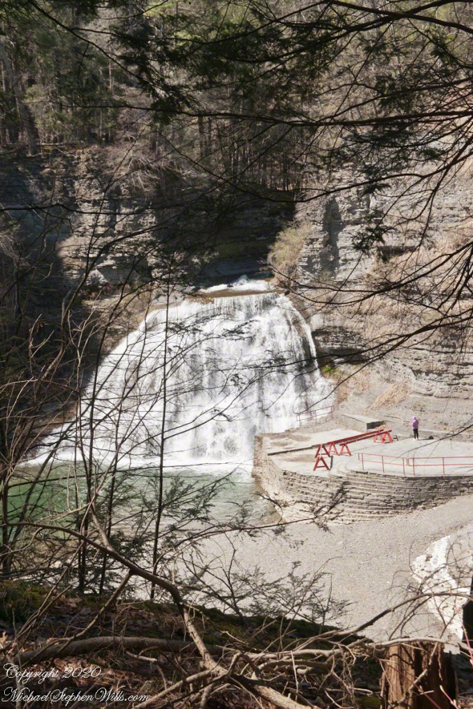
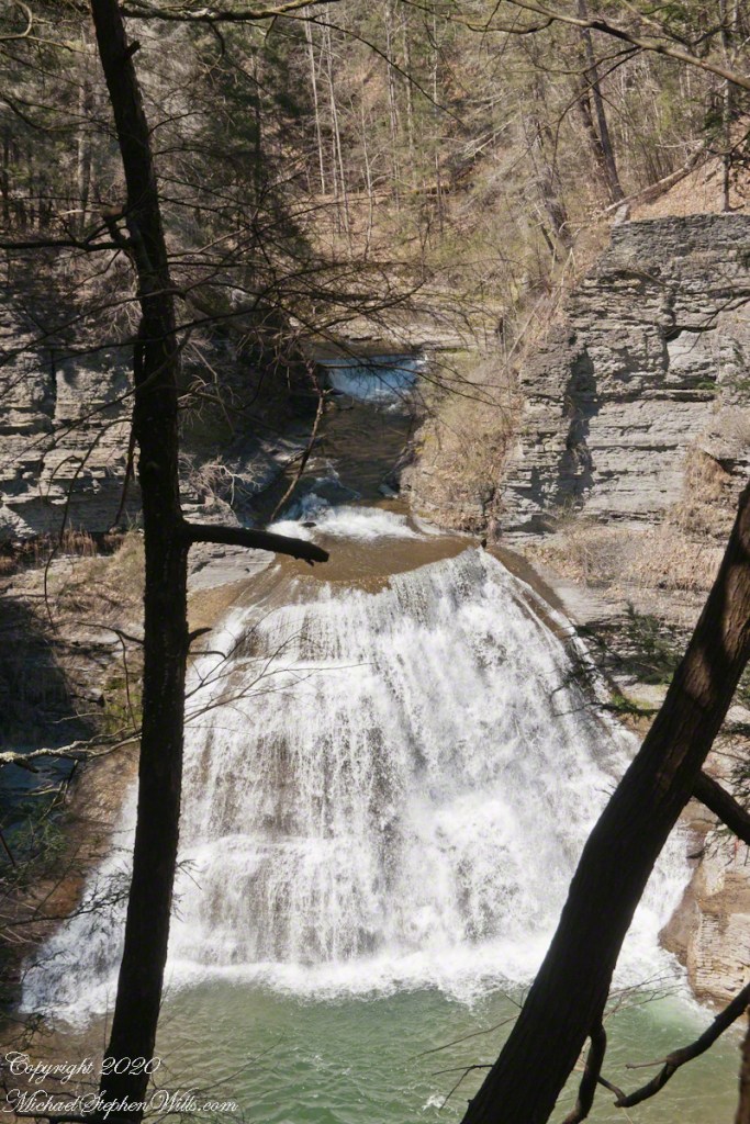
Lower Falls
After just a taste of the climb to come, hikers are treated to an view of the Lower Falls of Enfield Creek. I call them the Wedding Cake. Summertime, a dam is erected, the water is deep enough to dive into the very cold creek water, lower than 70 degrees.