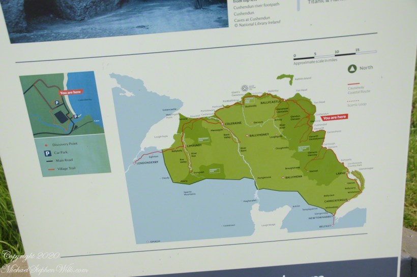
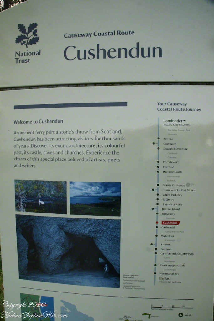
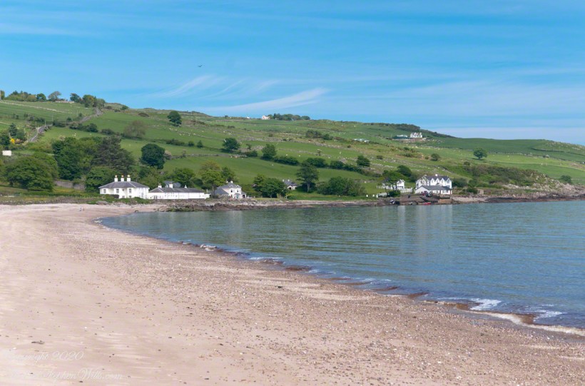
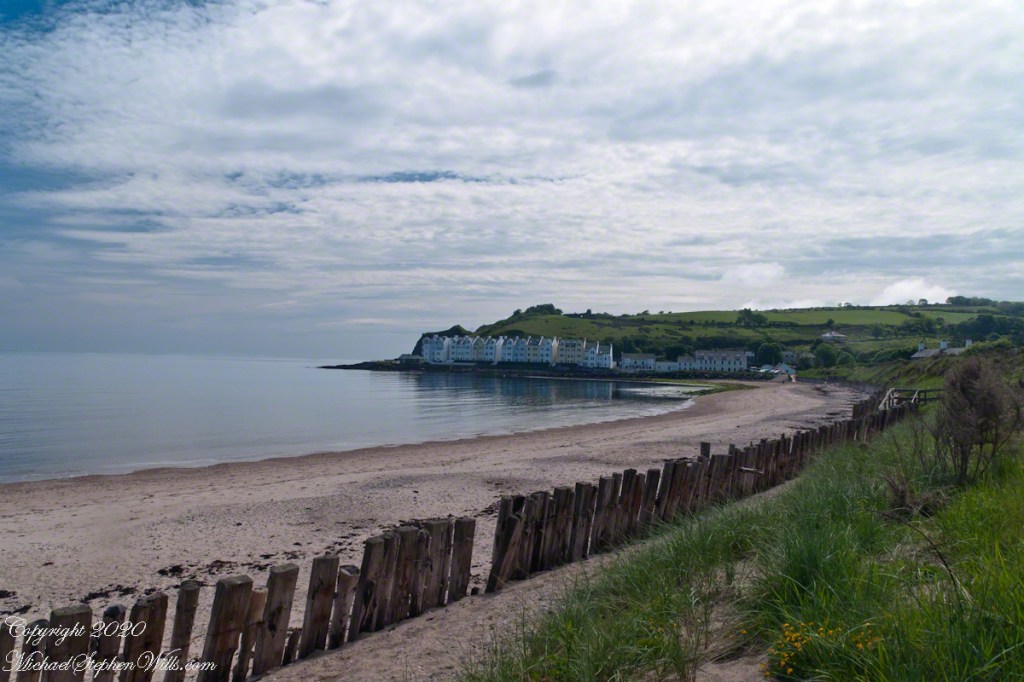
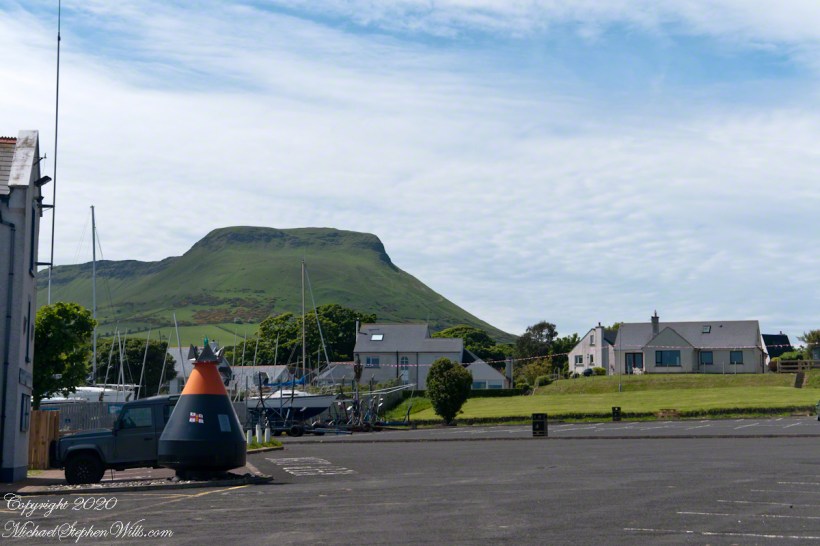
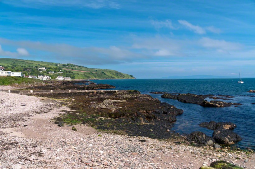
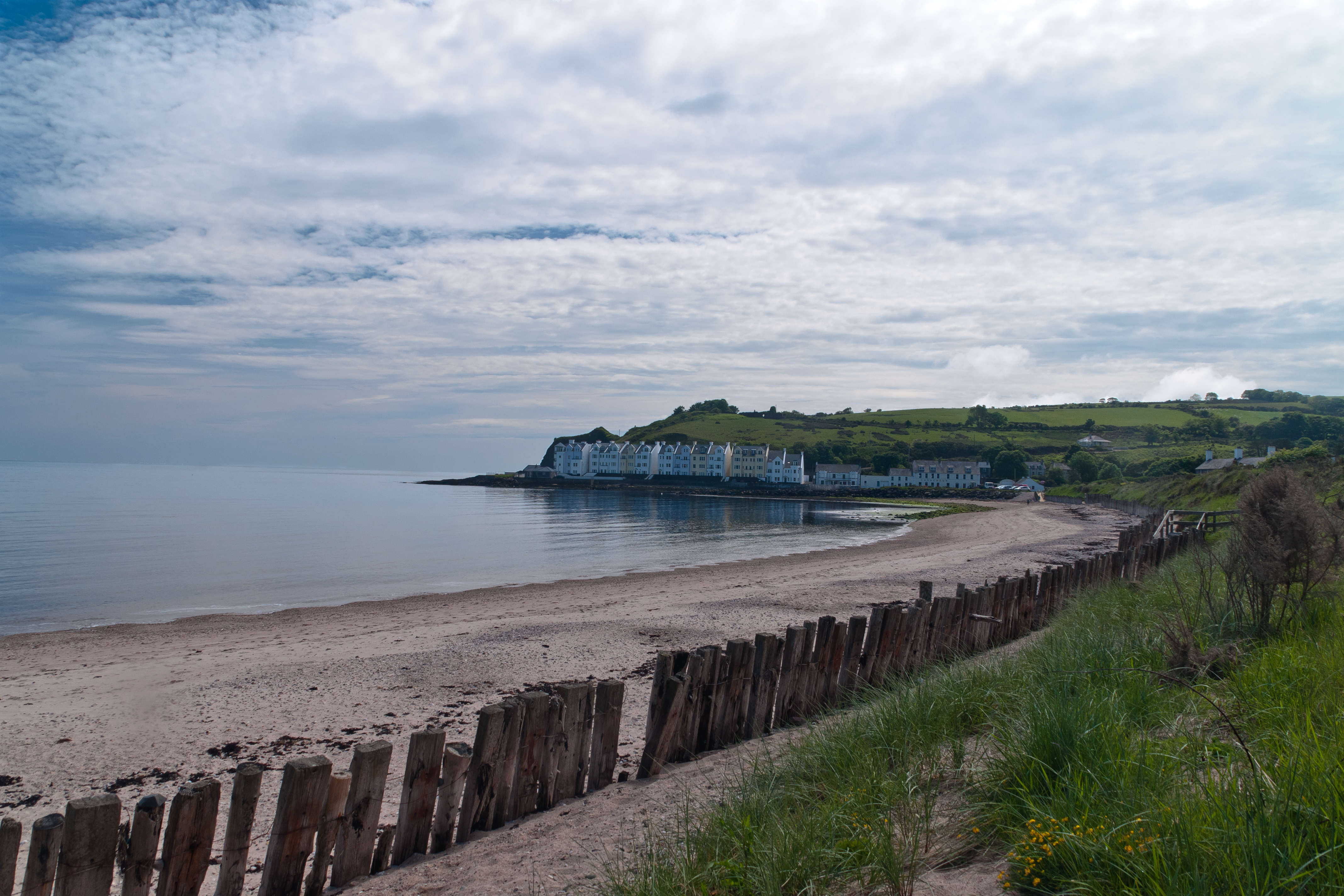
Cushendun (from Irish: Cois Abhann Doinne, meaning “foot of the River Dun”) is a small coastal village in County Antrim, Northern Ireland. It sits off the A2 coast road between Cushendall and Ballycastle.
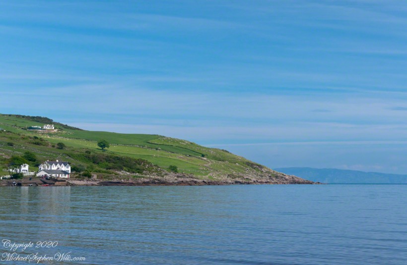
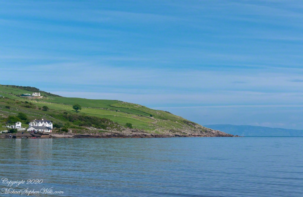
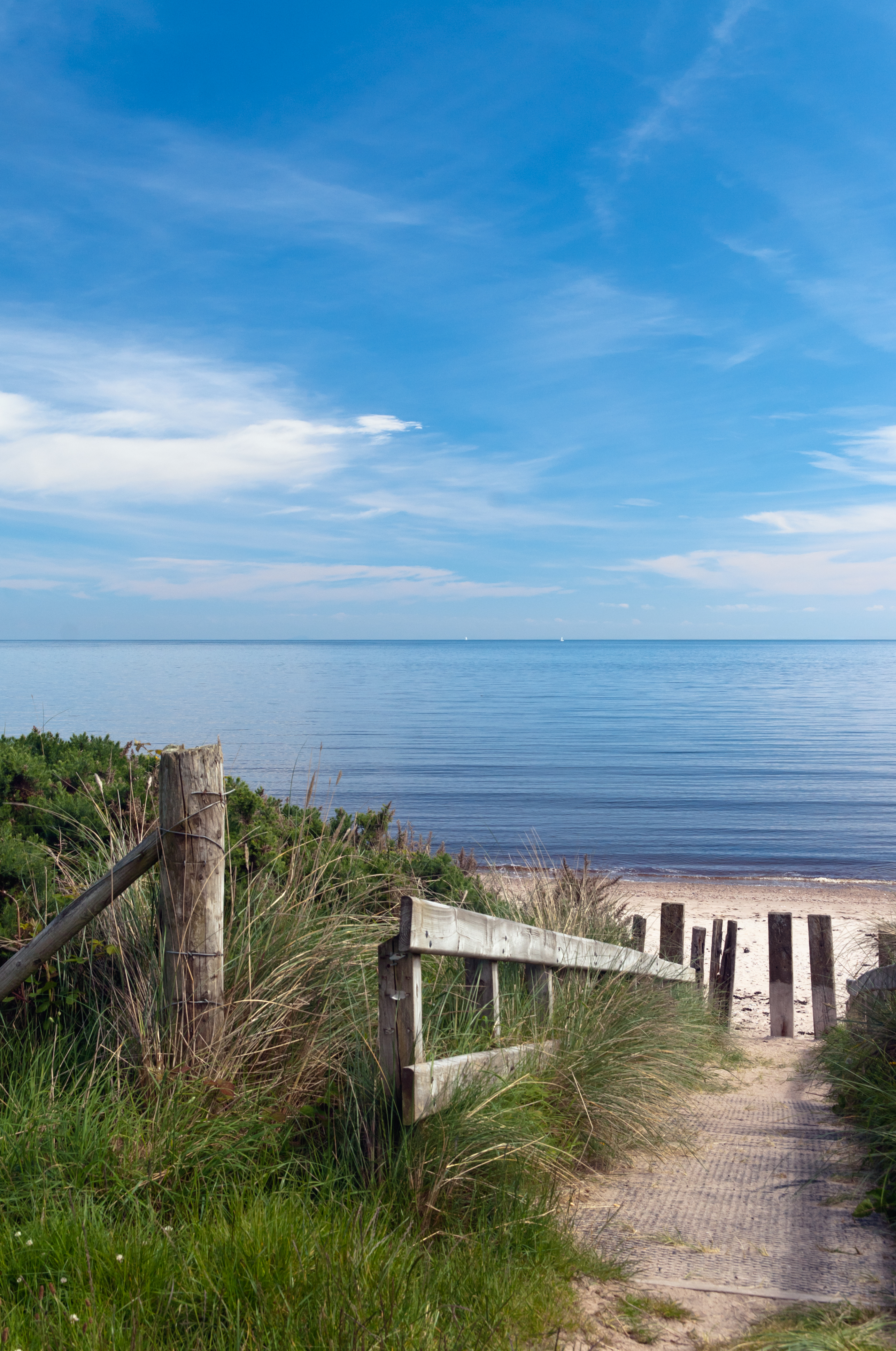
It has a sheltered harbor and lies at the mouth of the River Dun and Glendun, one of the nine Glens of Antrim. The Mull of Kintyre in Scotland is only about 15 miles away across the North Channel and can be seen easily on clear days.
In the 2001 Census it had a population of 138 people. Cushendun is part of Causeway Coast and Glens district.
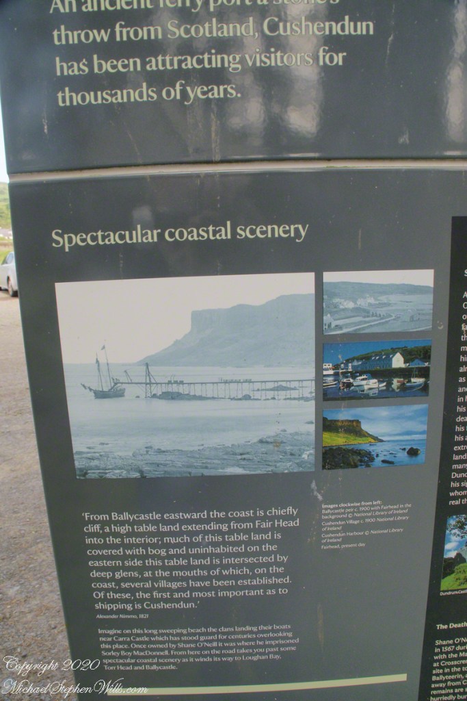
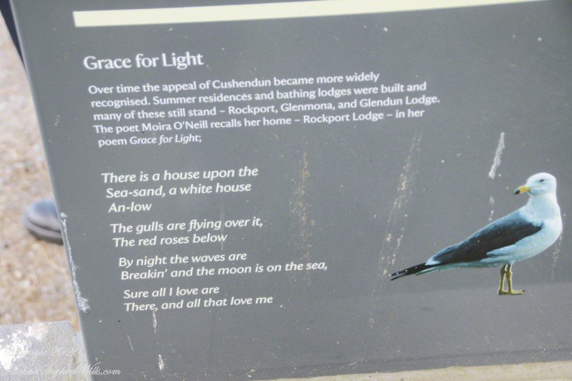
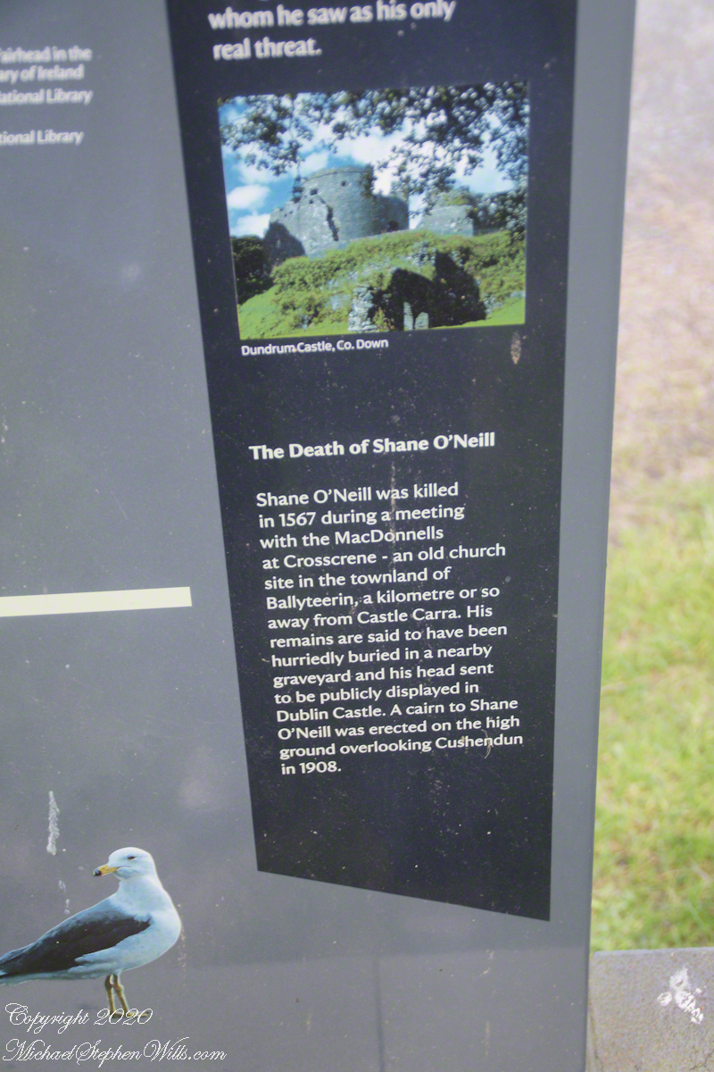
Here are several of the information placards near the harbor explaining some local history.
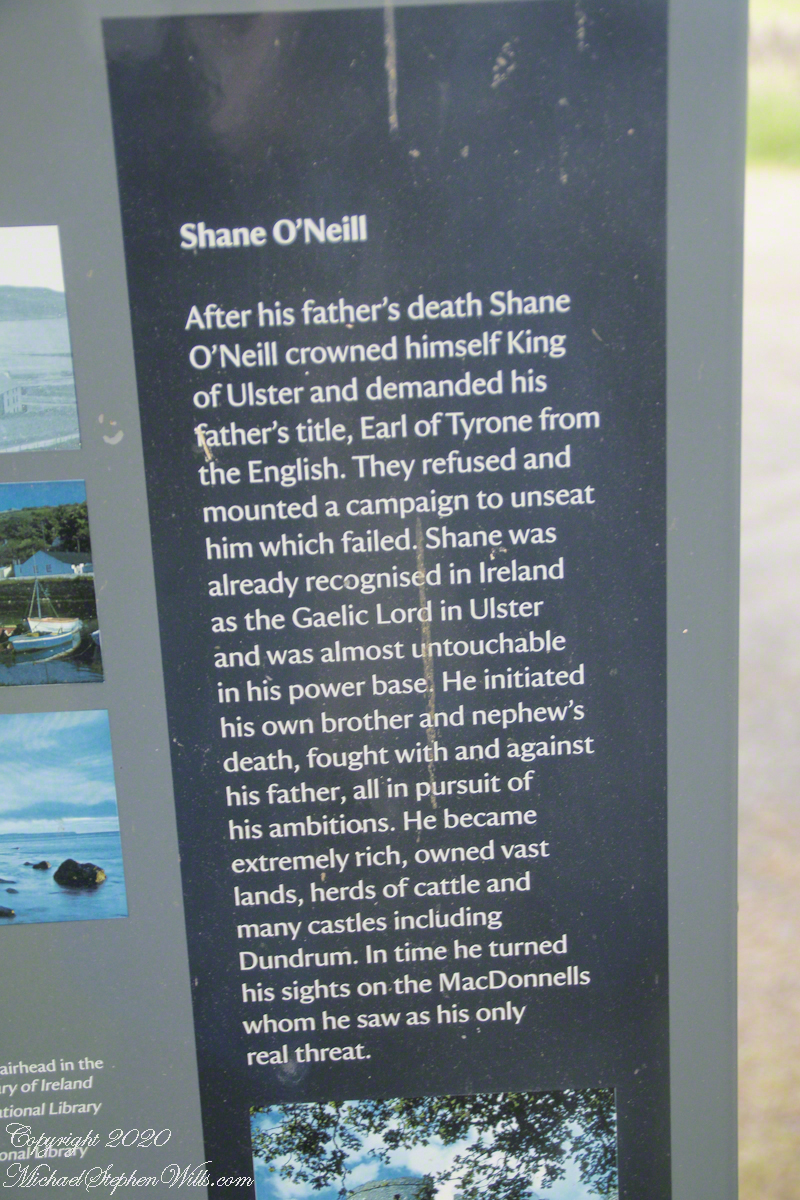
Ballyteerin townland, where Shane O’Neill was killed, is on the road to Torr Head.
Reference: Wikipedia, “Cushendun.”
Enter your email to receive notification of future postings. I will not sell or share your email address.