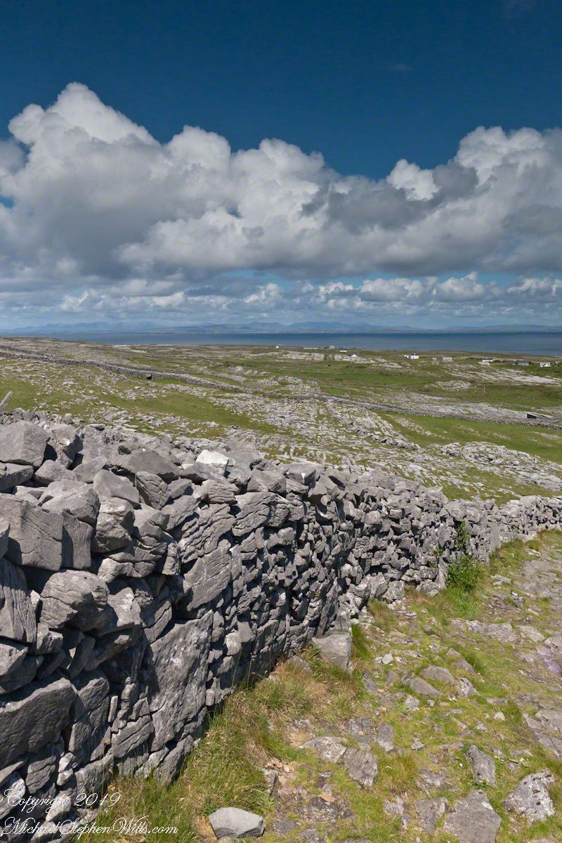
Standing atop the cliffs of Dún Aonghasa on Inis Mór (Inishmore), one is struck by contradiction. Beneath your feet lies a landscape of exposed limestone, fractured and weathered into the unmistakable geometry of karst. These unworked, barren slopes have a pale green covering growing seemingly on air. The Atlantic crashes hundreds of feet below, while inland the island stretches toward Galway Bay in shades of gray and pale green. It seems an improbable place for agriculture.
Yet there they are: fields enclosed by dry stone walls, dotted with cattle and thick enough with grass to sustain them. Looking out across this island, a question naturally arises. Where did the soil come from?
Click the link for my Getty IStock photography of the Aran Islands
The answer is simple to describe and astonishing to contemplate. The soil of Inis Mór was, in large measure, made by human hands.
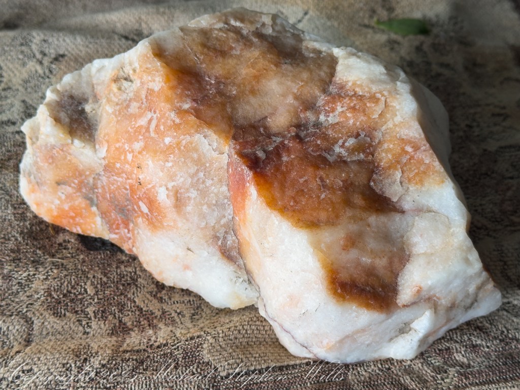
The Aran Islands are composed primarily of limestone deposited some 350 million years ago when this part of the world lay beneath warm tropical seas. The shells and skeletal remains of ancient marine organisms accumulated on the seabed and, through immense pressure and time, became stone. Today, limestone accounts for the overwhelming majority of the islands’ bedrock.
Limestone landscapes possess a severe beauty. Rainwater, slightly acidic from dissolved carbon dioxide, which in turn slowly dissolves the rock, creating fissures known as grykes separated by flat blocks called clints. Soil drains rapidly through these cracks. Left to natural processes alone, only thin accumulations of organic material develop and much of the landscape will resemble a stony pavement.
For generations, survival on Inis Mór required transforming that pavement into productive land.
Islanders gathered seaweed from the shoreline, hauling it inland by cart and hand. The seaweed provided organic matter and nutrients, particularly potassium and trace minerals. Sand from the beaches added texture and volume. Mixed together atop the limestone surface, these materials slowly decomposed into something capable of supporting plant life. Over decades—and in some places centuries—layers accumulated.
The process demanded persistence. Storms could strip away exposed earth. Atlantic winds threatened erosion. Each year required renewal: more seaweed, more organic matter, more labor. Roots from grasses and crops helped bind the developing soil together. Animal manure returned nutrients to the ground. What had begun as an artificial growing medium gradually became a living soil ecosystem.
As understood by modern soil science, soil formation is often explained through five factors: climate, organisms, relief, parent material, and time. On Inis Mór, all five are present, but there is a sixth factor impossible to ignore: culture.
Without human intervention, much of the island would likely remain dominated by exposed limestone and sparse vegetation. Instead, generations of residents imposed patience upon geology. Their work transformed an inhospitable environment into a functioning agricultural landscape.
The dry stone walls that divide the island tell the same story. Built from limestone cleared from the fields, they required no mortar. Each stone was carefully selected and placed, creating boundaries that controlled livestock, sheltered plants from relentless winds, and marked family holdings. The walls themselves became part of the ecological fabric, providing habitat for insects, mosses, lichens, and wildflowers.
Visitors often admire these walls for their picturesque quality. They are indeed beautiful and are also evidence of necessity. Every stone removed from a field made space for soil to deepen and grasses to spread. The very act of creating pasture simultaneously generated the material for the island’s defining architecture.

There is poetry in this relationship between hardship and abundance.
In many places, fertile soil is taken for granted. Deep glacial deposits or river sediments create agricultural wealth with little awareness of the thousands of years involved in their formation. On Inis Mór, however, the origins of fertility remain visible. The limestone still protrudes through the fields. The seaweed-strewn shore lies only a short distance away. The walls reveal the labor embedded in the land.
To walk these fields is to encounter a collaboration between people and place extending across centuries. The islanders did not conquer the landscape so much as negotiate with it. They worked within its constraints, borrowing from the sea to enrich the stone and relying upon time to complete what effort had begun.
The resulting landscape offers a quiet lesson. Soil, the foundation of civilization, is created through intricate interactions among rock, water, organisms, and time. On Inis Mór, soil also represents inheritance: the accumulated labor of countless individuals who refused to accept barrenness as destiny.
Viewed from the heights of Dún Aonghasa, the green fields scattered across the gray limestone are miraculous.
Not a miracle of sudden transformation, but one measured in generations—made from seaweed and sand, from patience and persistence, and from the enduring belief that even the most unpromising ground can, with enough care, be coaxed into life.
The answer is simple hard work, hundreds, a thousand years of hauling seaweed and sand, mixing it on the barren limestone, allowing the rot of time to work. Hold it down with roots, till and refresh.