….continued from the chapter “Desert Luxuries”
After hitching the saddled buckskin, named “Nugget,” and lightly packed pinto to trees beside the trail, The Searcher climbed up to my camp for a visit. I started water for tea and soon we were chatting. Right from the start The Searcher asked for privacy. Devoted to searching the Superstitions for the gold of the “Lost Dutchman Mine,” he organized his expeditions from a staging point near Phoenix and spent nearly sixty days each year in the wilderness. Part of his preparation was a desert survival course provided by the Reavis Mountain School, conducted by Peter Bigfoot.
An Invitation from The Searcher
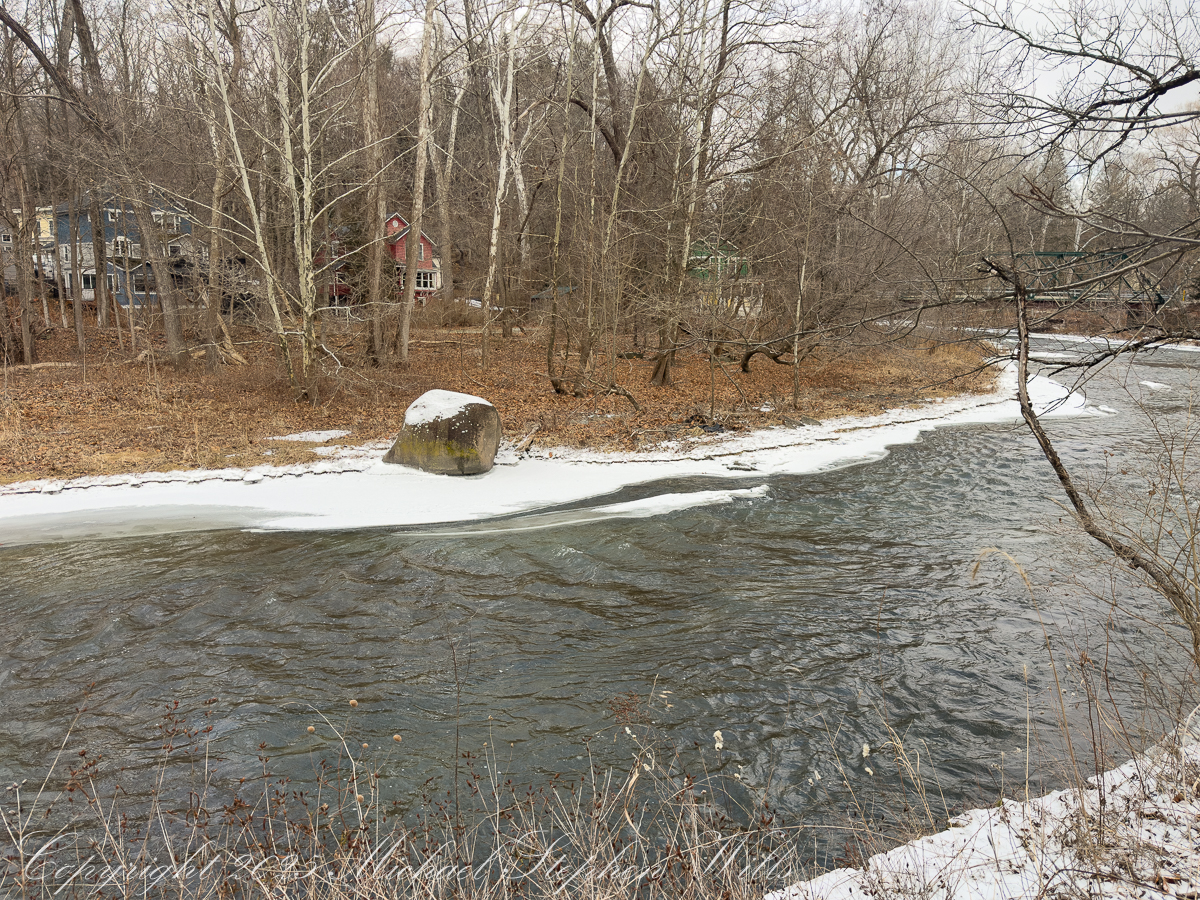
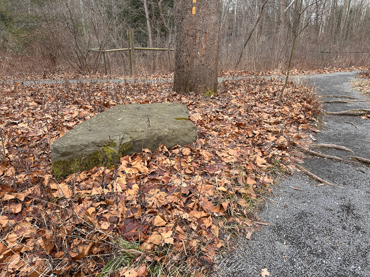
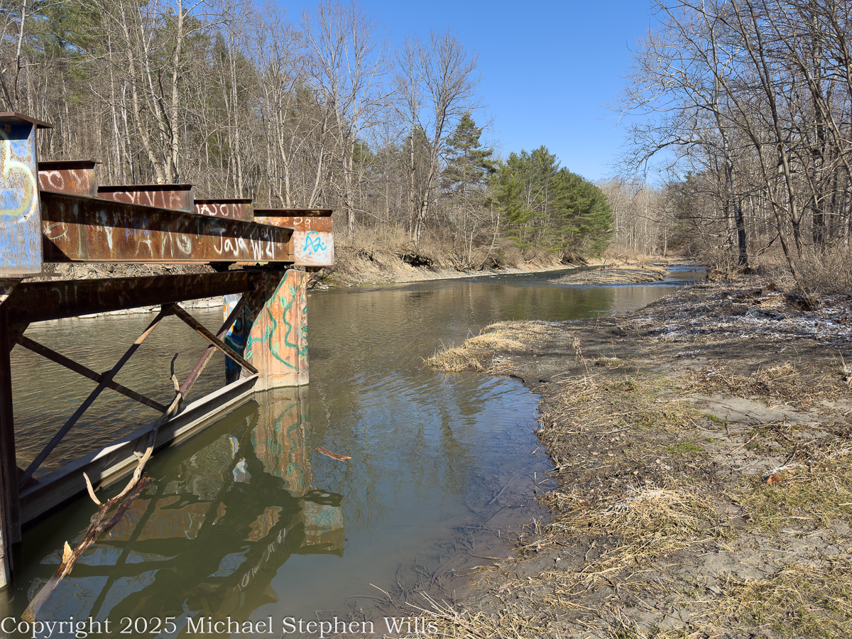
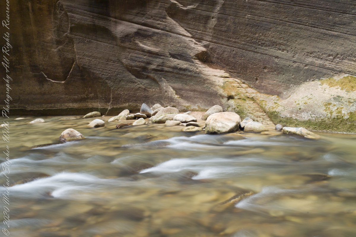
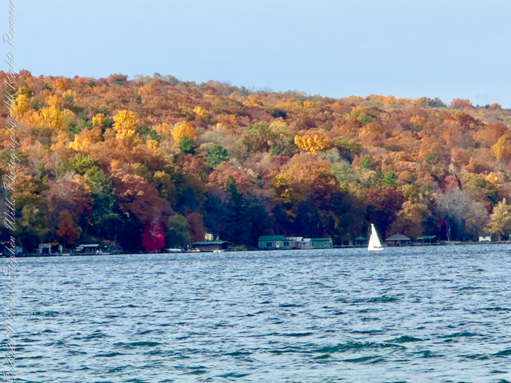
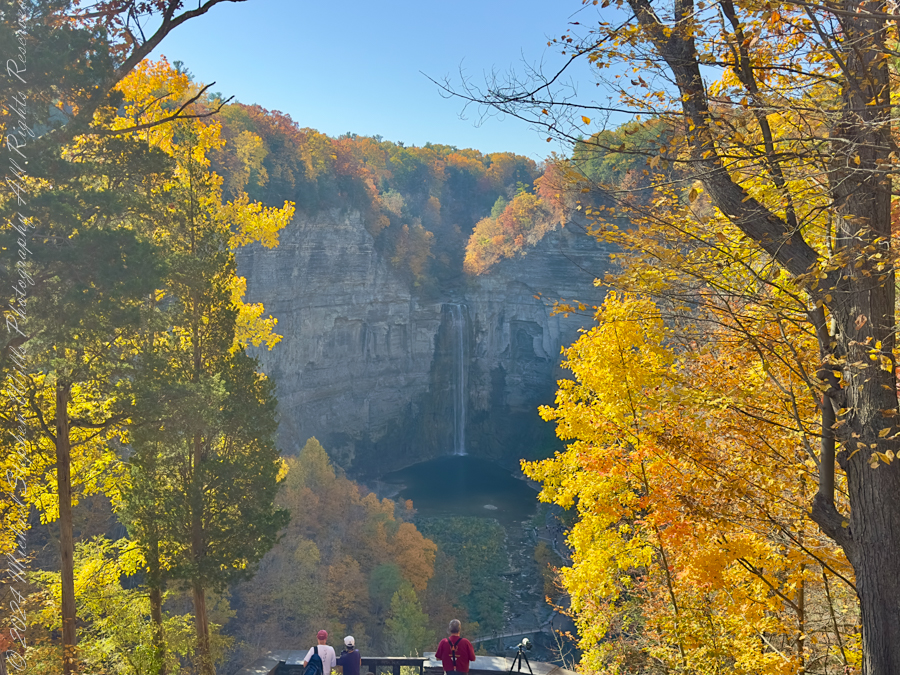
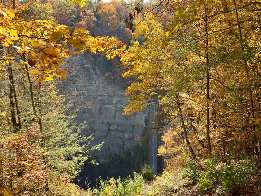
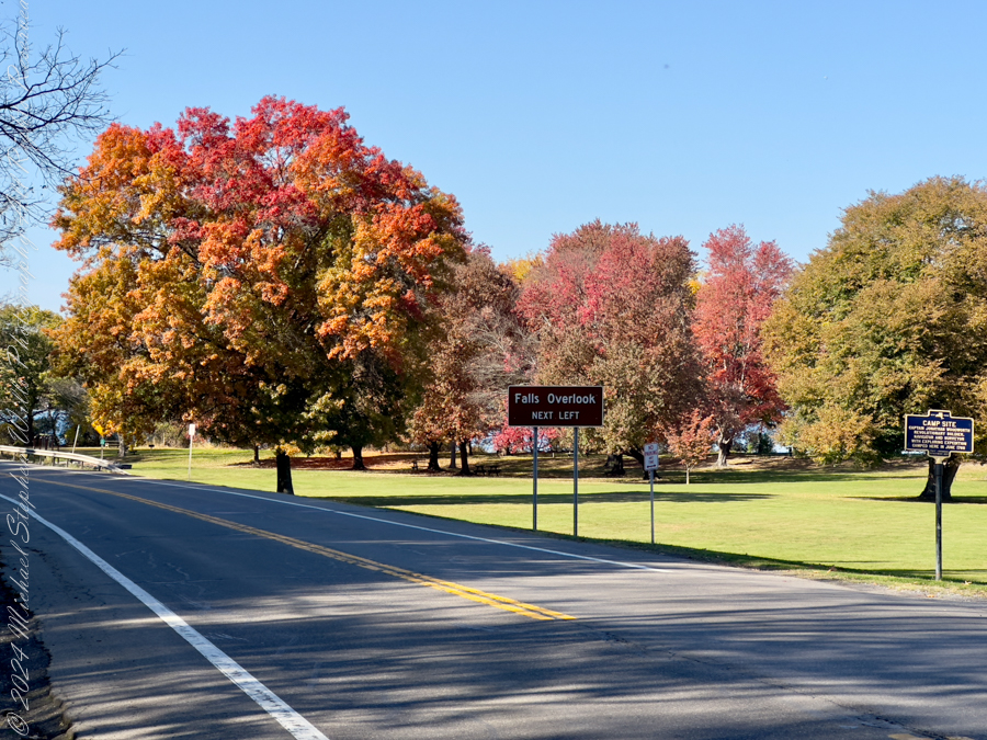
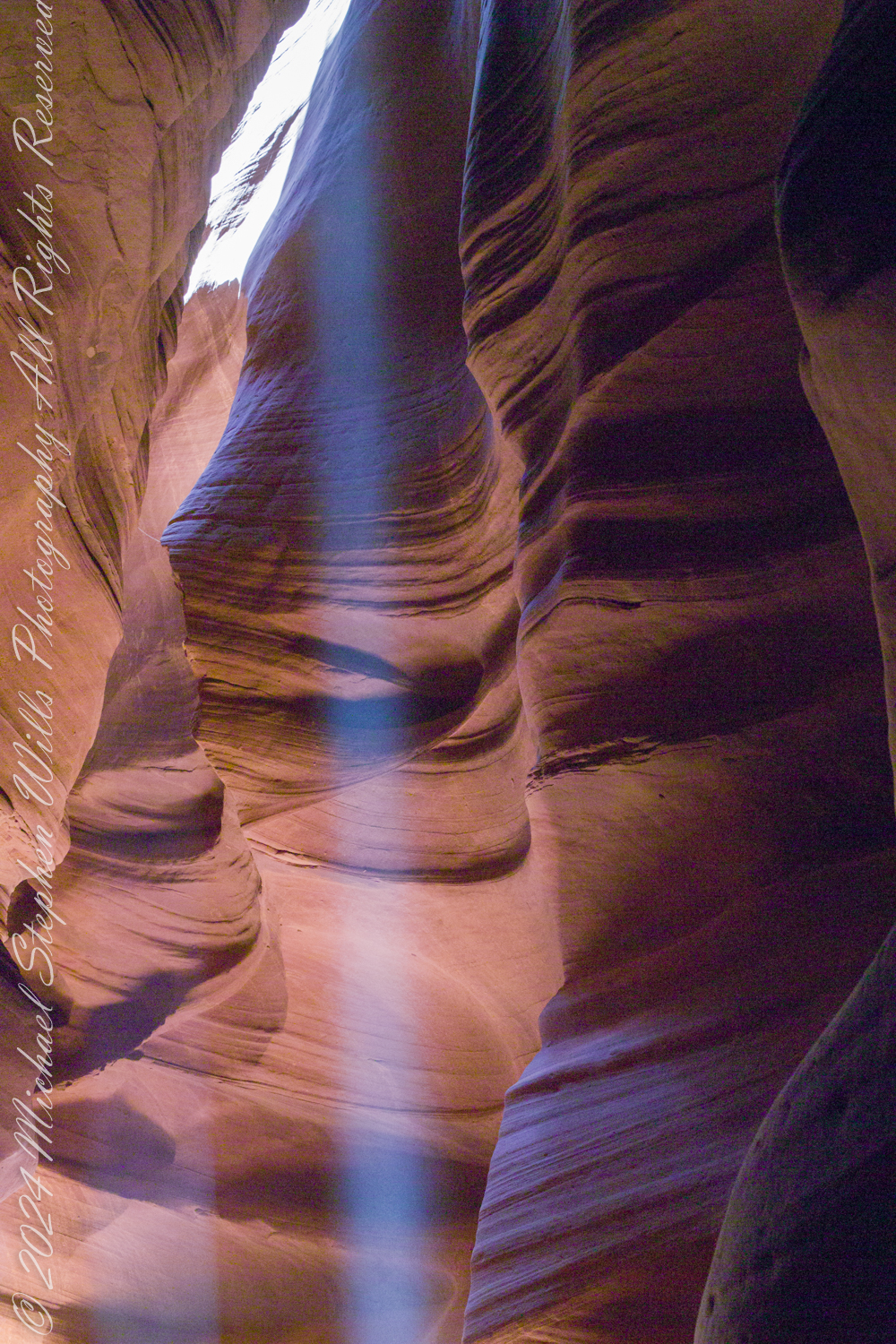
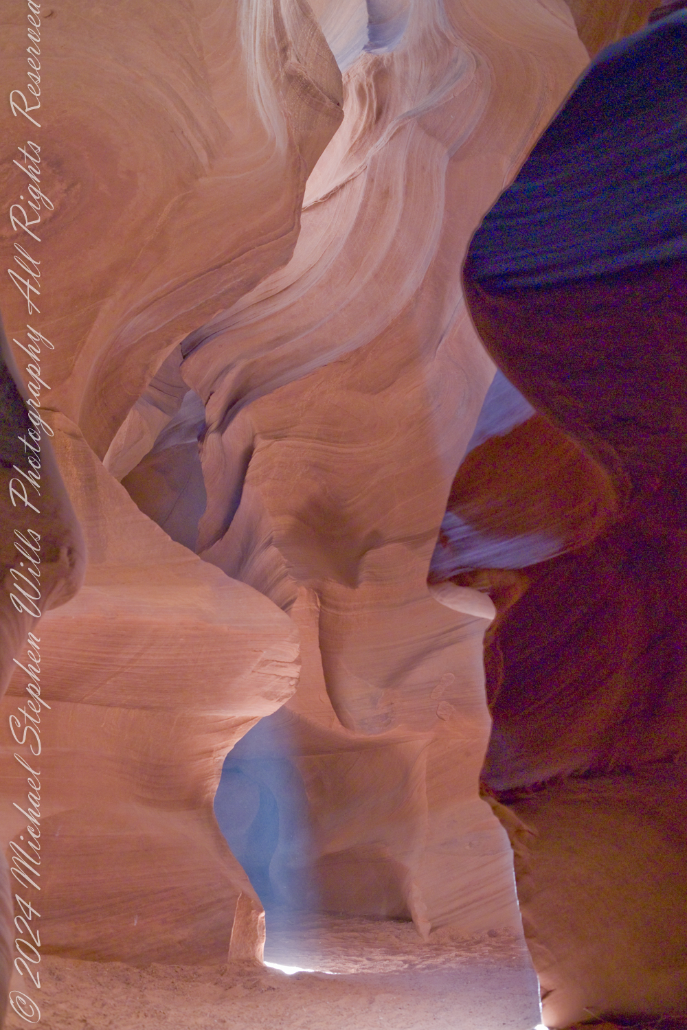
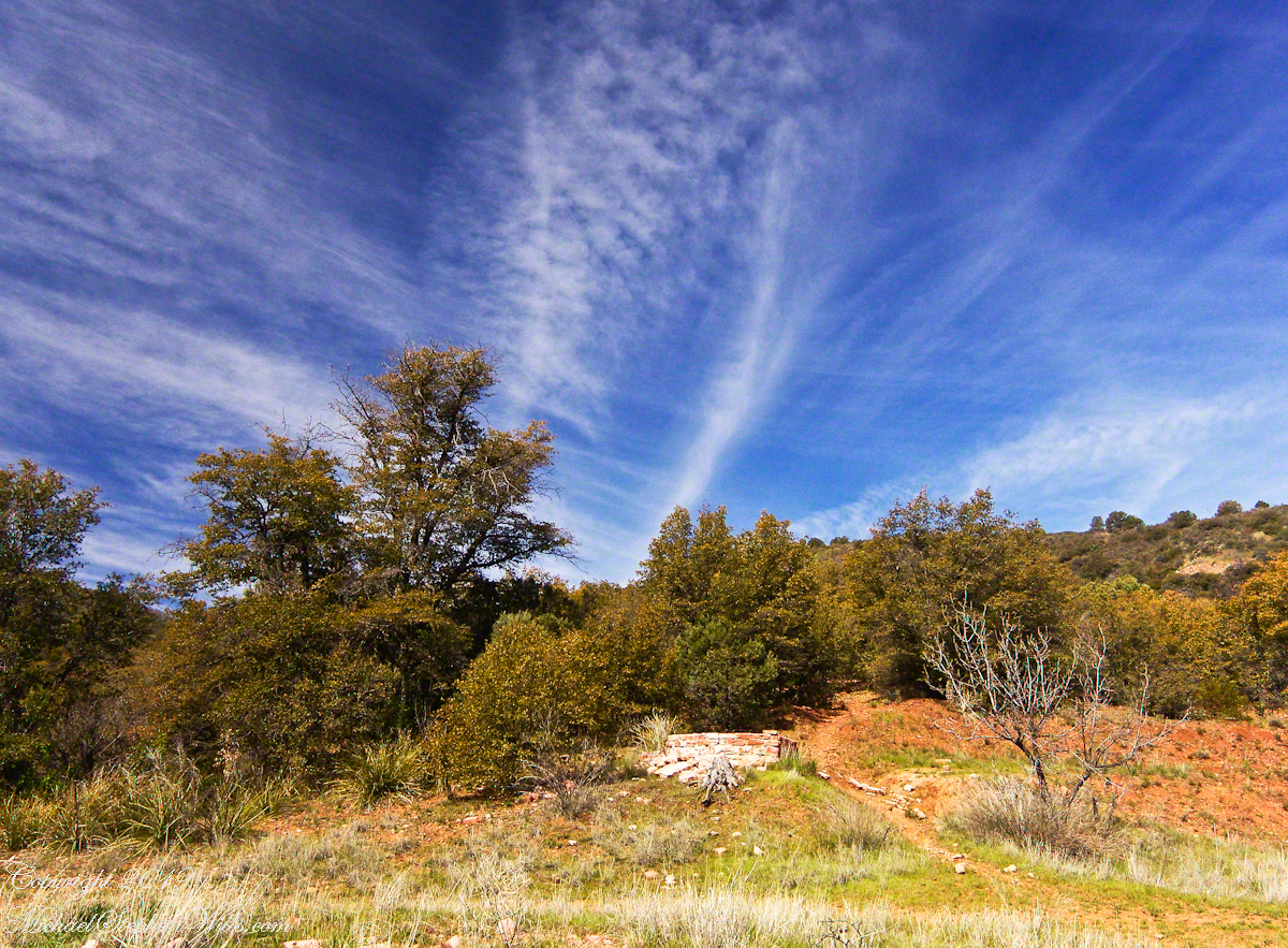
The Searcher described a place near Pine Creek, he called it “Circlestone,” a large, almost perfect circle of precisely fitted stone walls, on the slopes of Mound Mountain above the headwaters of Pine Creek. My sister, Diane, and I found Circlestone on backpack expeditions March and November 2006. WThe site exceeded our expectations, the walls appeared less built than patiently persuaded from the mountain itself.
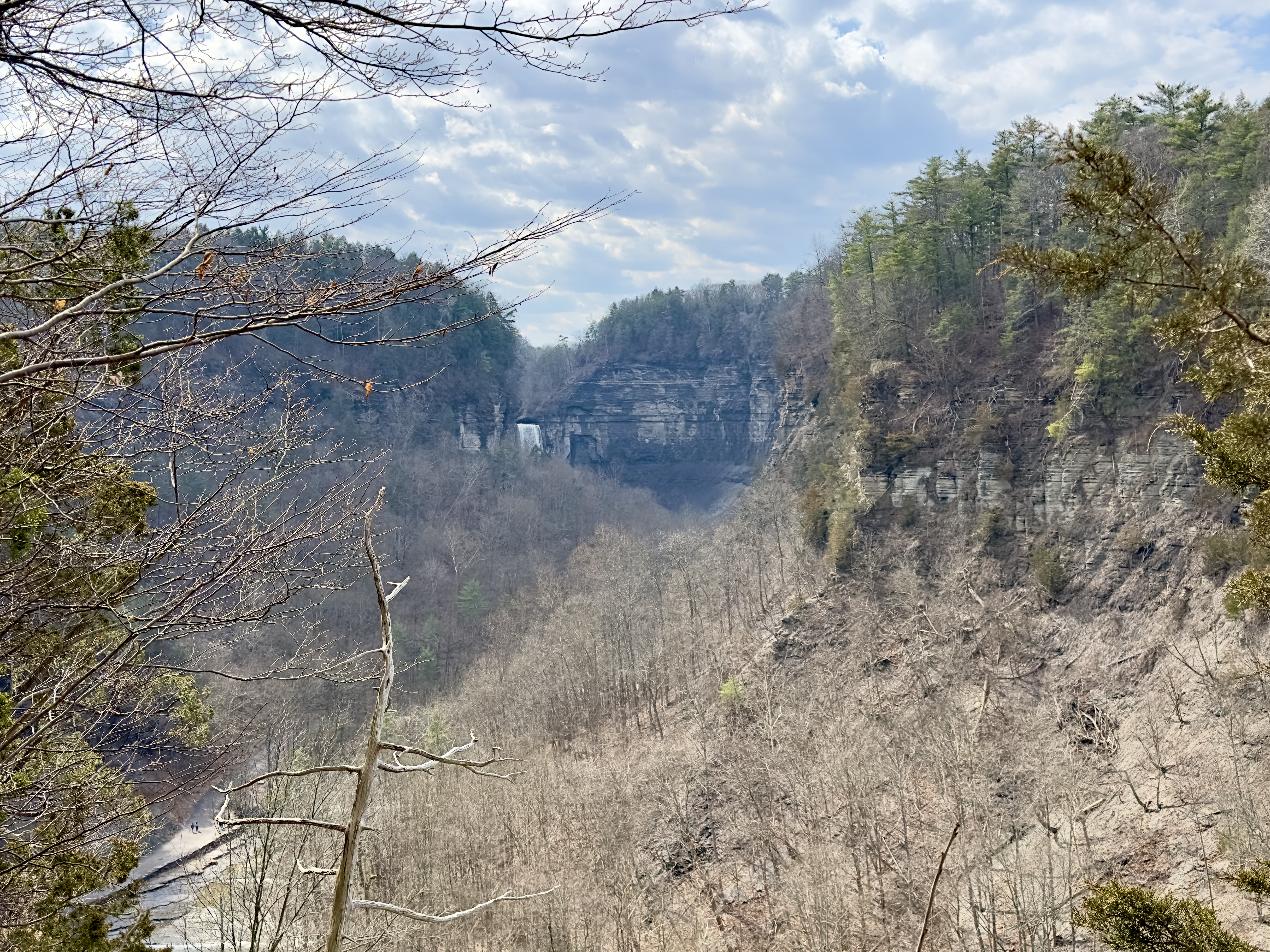
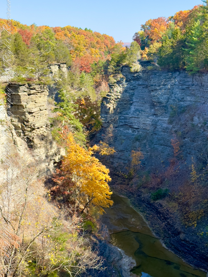
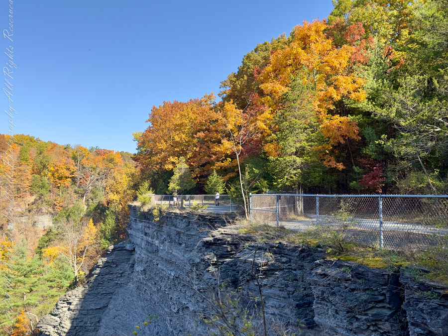
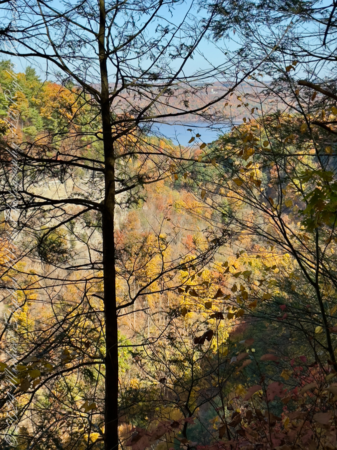
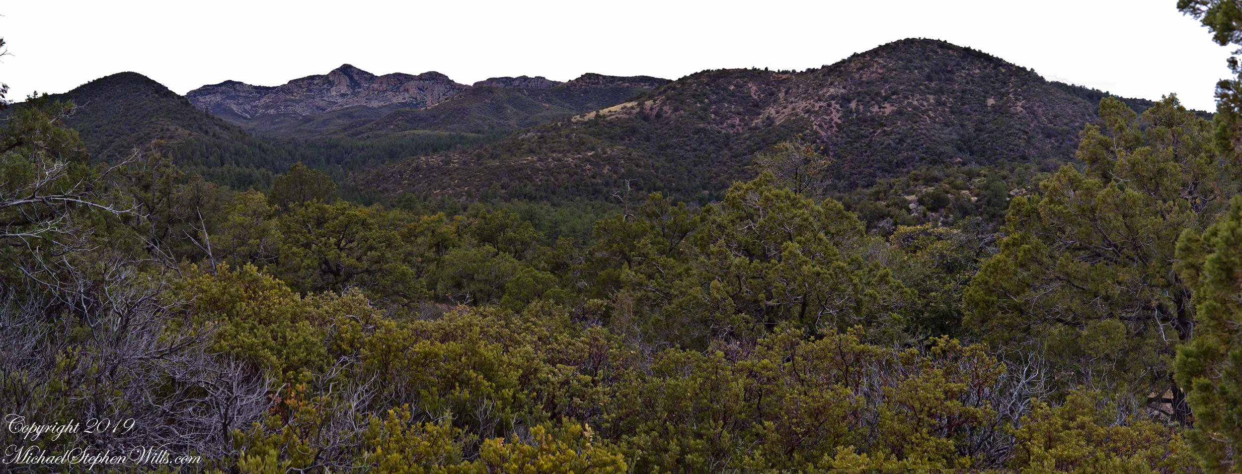
Here is a panorama from March 2006, southwest from the forests of juniper and pinion on the slopes of Mound Mountain.. The southern tip of Reavis Valley is to the right, from there Arizona Trail lead to White Mountain in the distance. It was taken on a later trip, in November of 2006 when my sister, Diane, and I visited Circlestone.
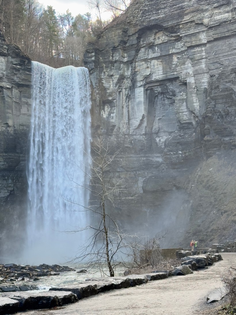
Click any photograph for a larger image.
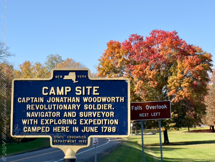
The Searcher also told of Elisha Marcus Reavis, who settled the Valley west of Pine Creek in 1874. At one point, a band of Apaches planned to kill Reavis, but were respectful of his reputation as a rifle shot. They were waiting him out across from the his dugout, when Reavis stripped naked and, with wild hair and a flaming red beard, charged their camp, knives in both hands. The Apaches rode off, wary of his insane behavior, and never bothered him again.
We talked about my prospects and plans when The Searcher offered to take me to the Reavis Valley the next day, on horseback. There is a large apple orchard there and, this being April, we’d be treated to masses of apple blossoms. The day after Reavis Ranch, I could pack out with him down the Arizona Trail, past the Reavis Mountain School, over Campaign Creek and drive back to the Lost Dutchman Park. I readily agreed.
To Reavis Ranch on Horseback
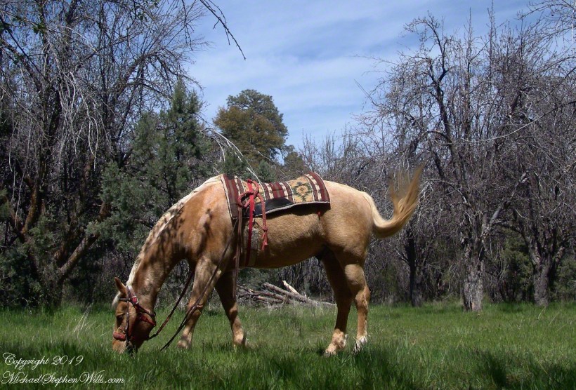
The following morning rose slowly from colorless darkness, accompanied by thin birdsong and the whitening glow of high clouds. When the Searcher arrived around 8 am he was leading the pinto, introduced as Colorado, equipped with a western saddle instead of a pack. As an absolute novice trail rider, I rode while The Searcher held Colorado’s lead rope. The reins were wrapped around the saddle horn, leaving me to hang on and enjoy the view and the swishing tail of Nugget, the buckskin.
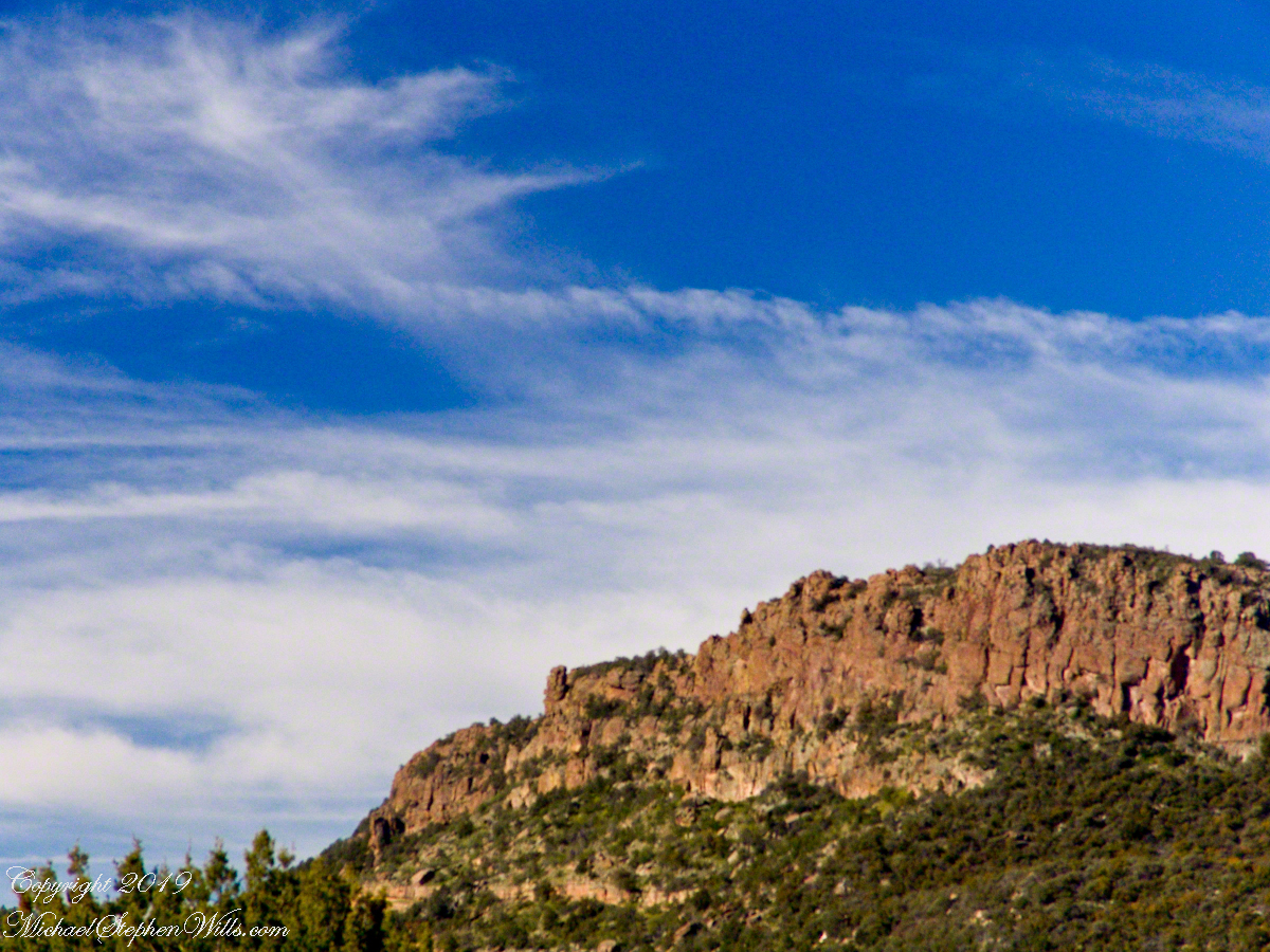
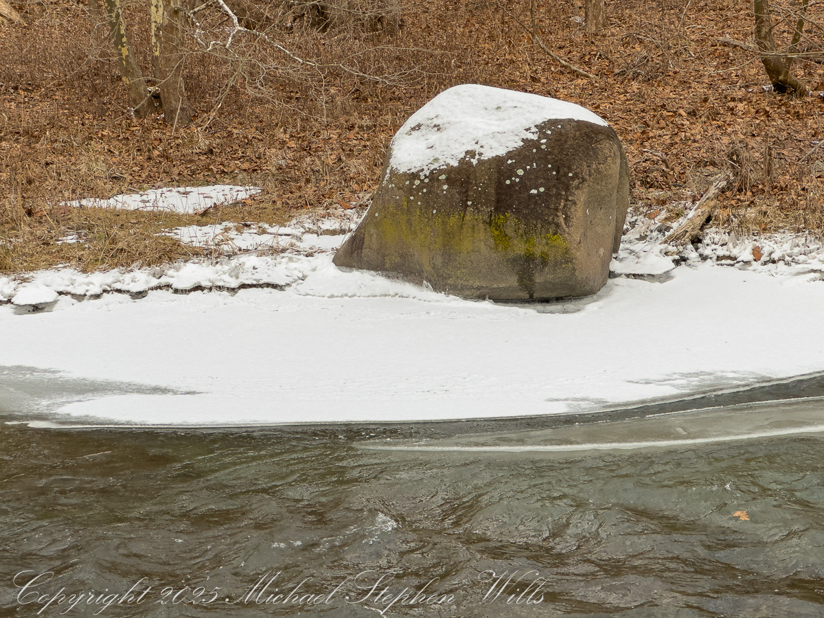
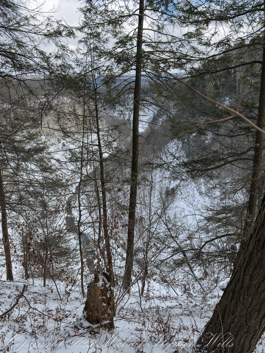
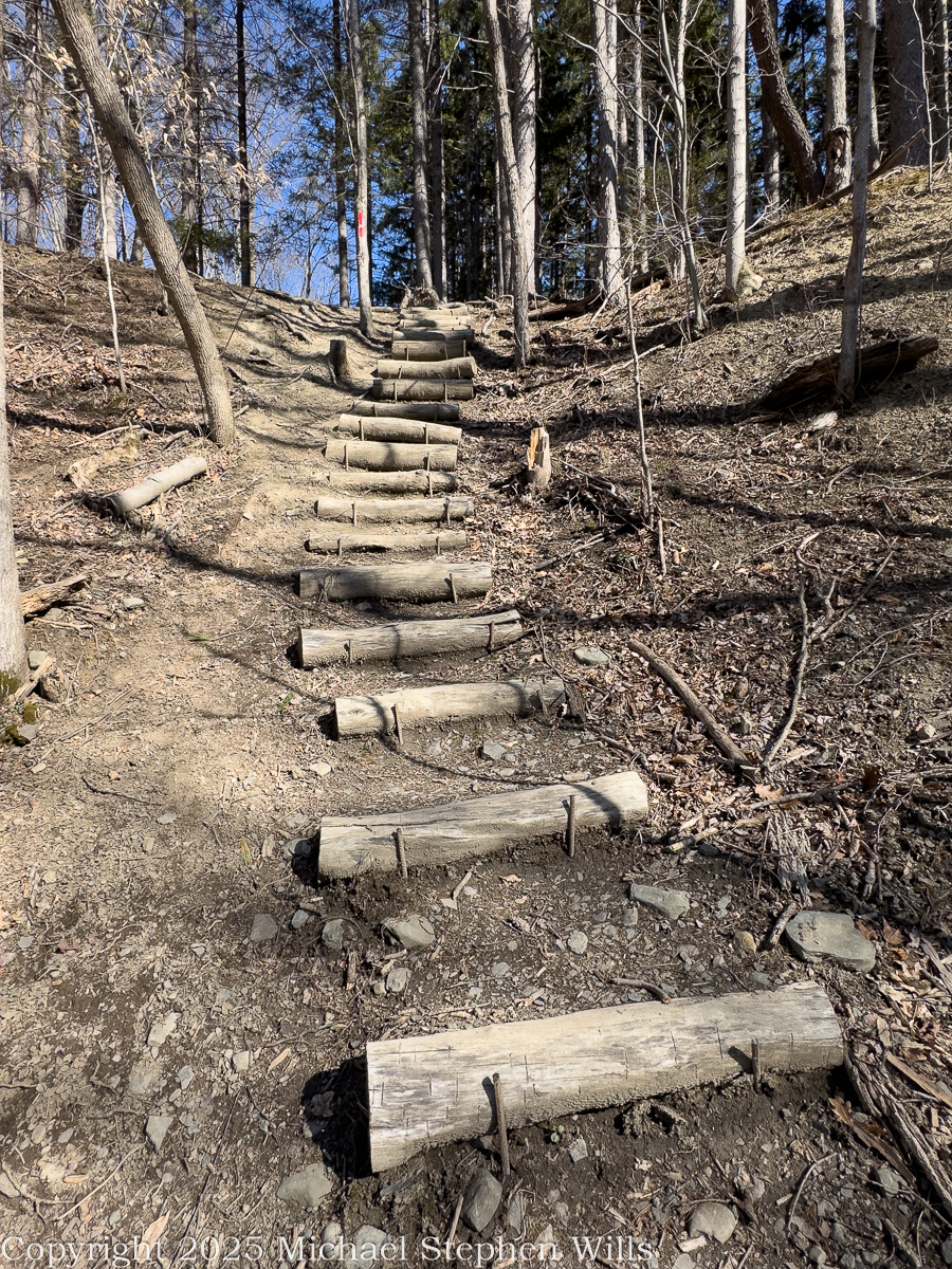
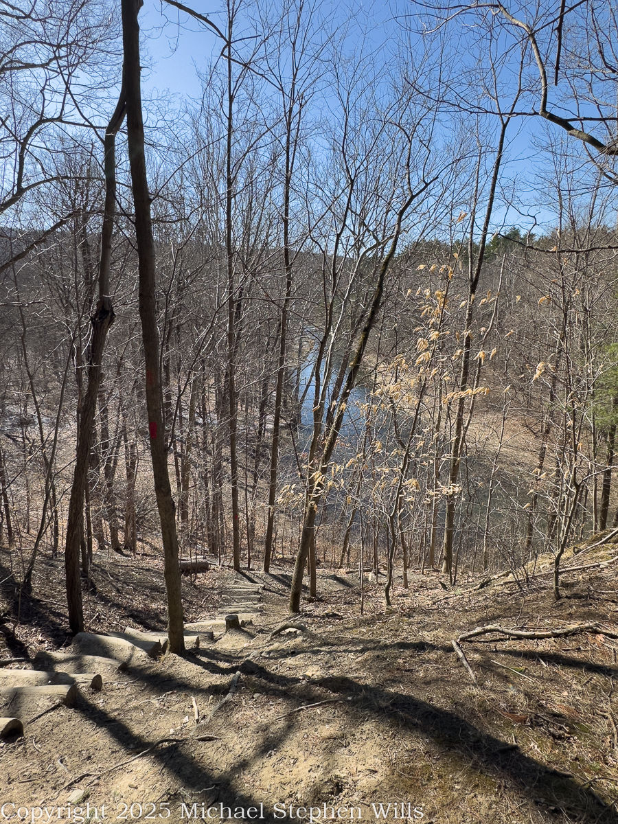
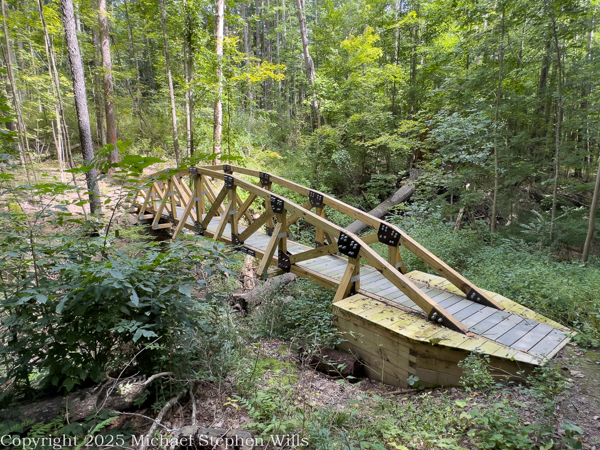
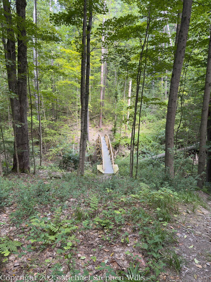
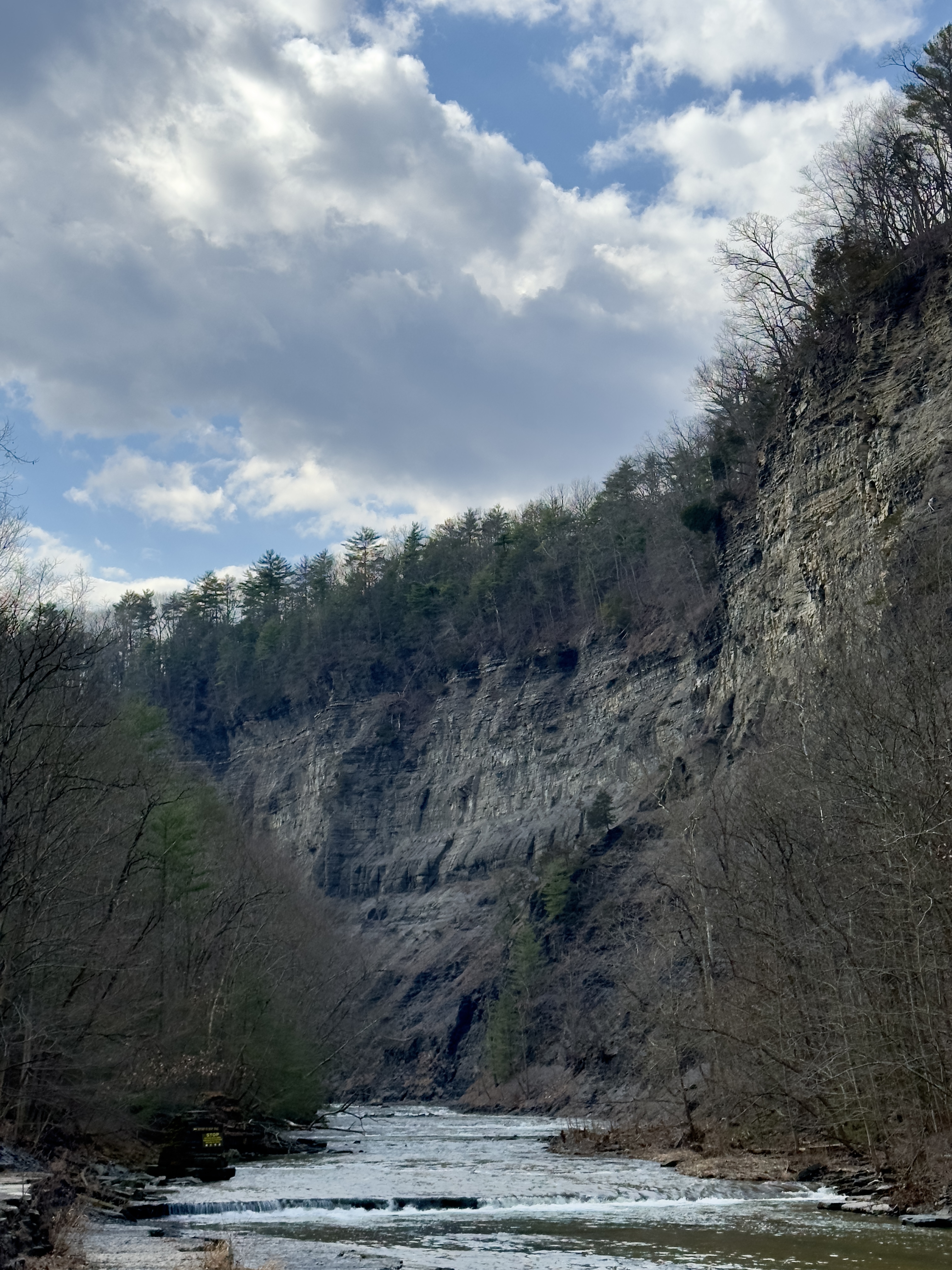
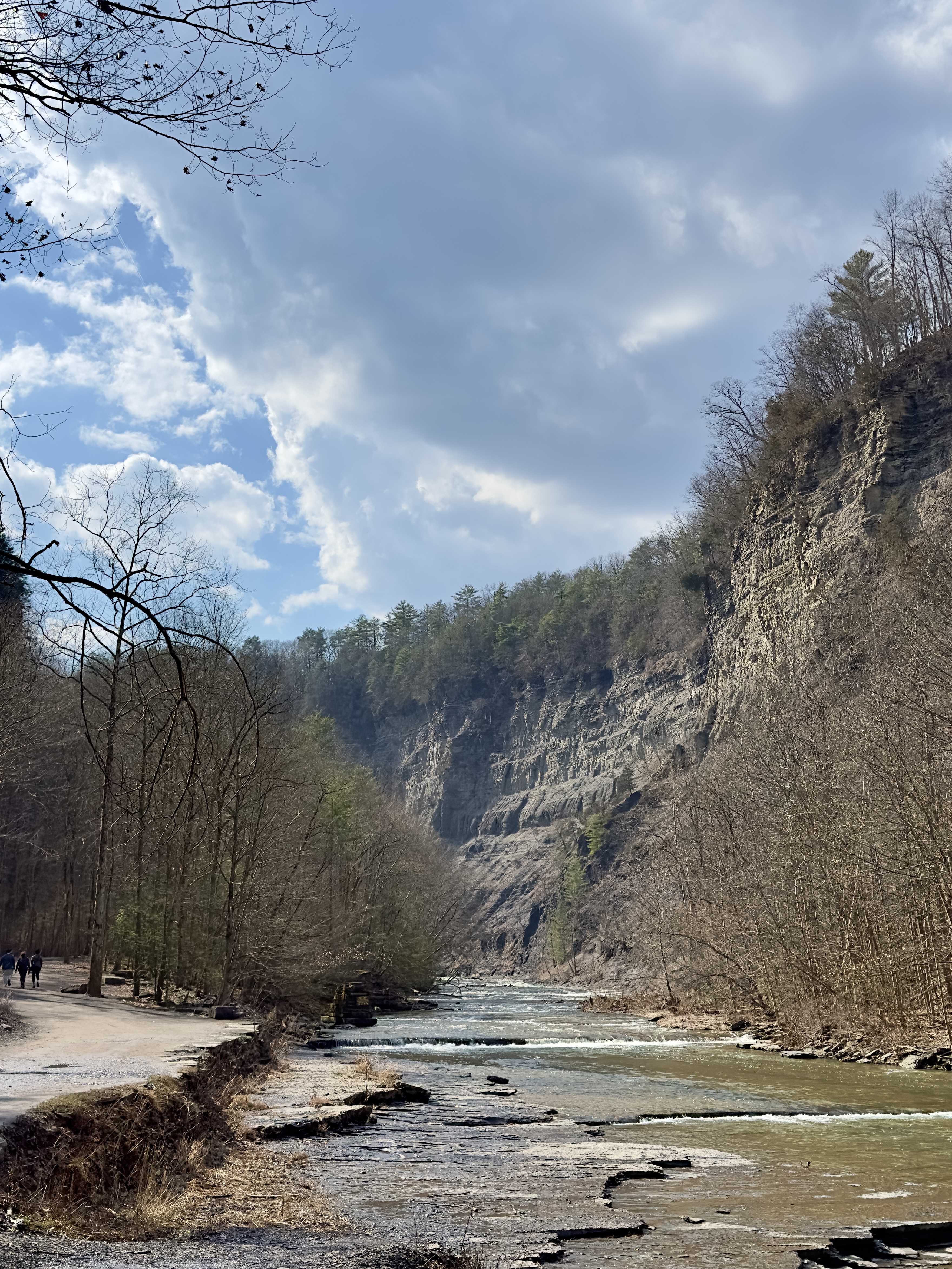
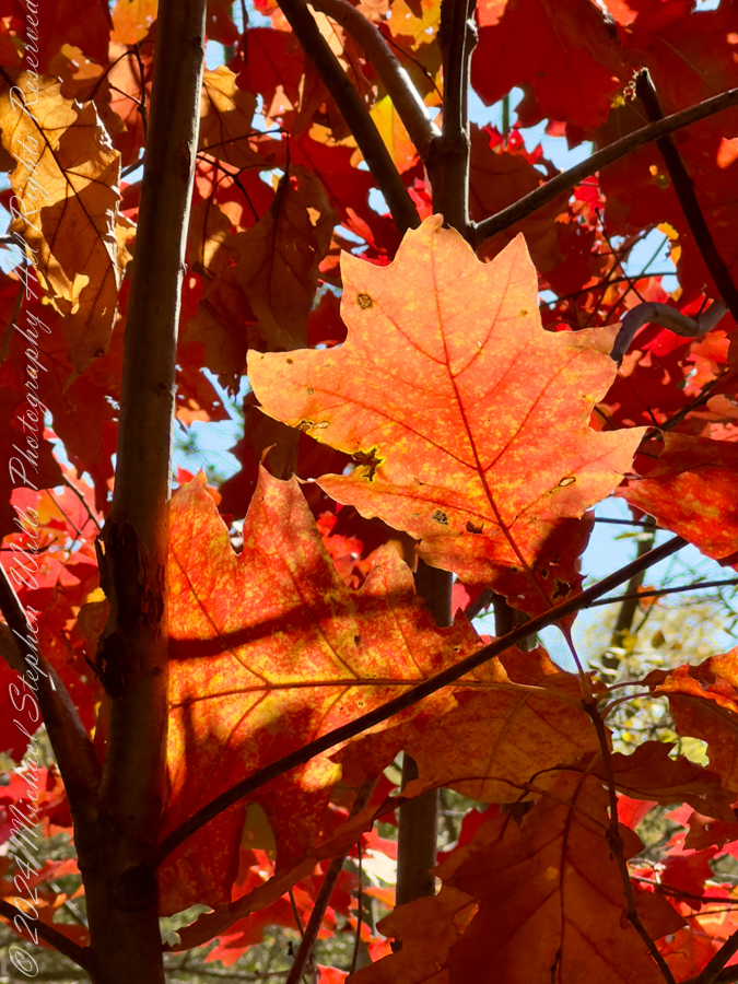
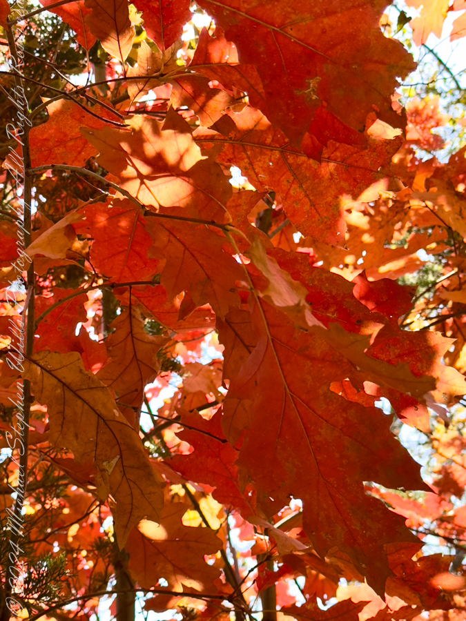
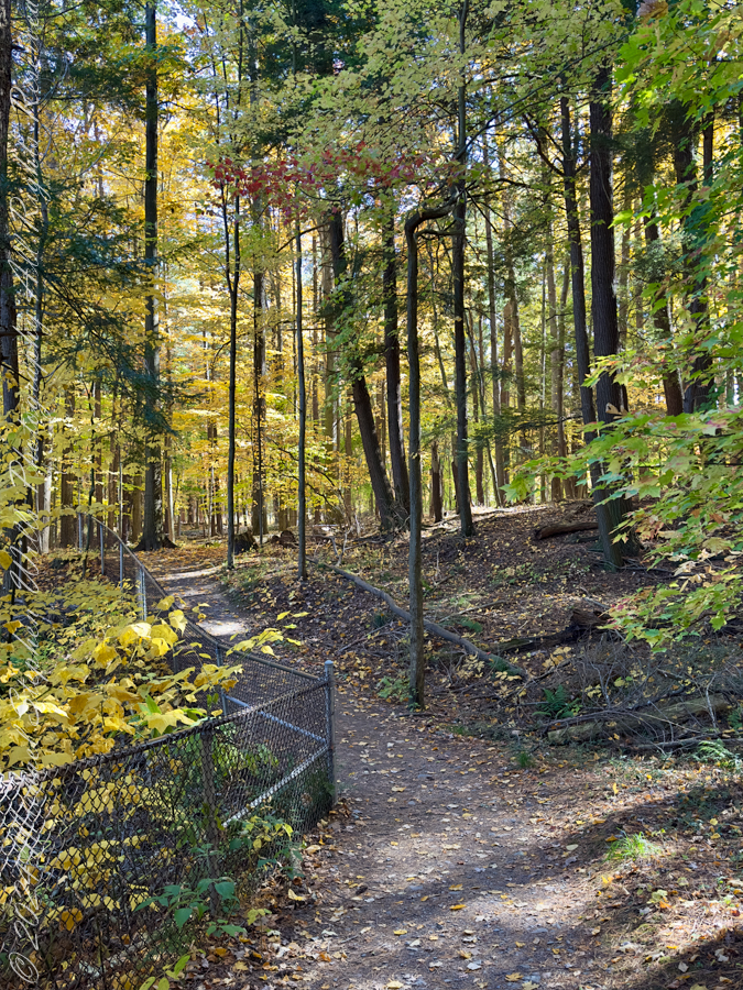
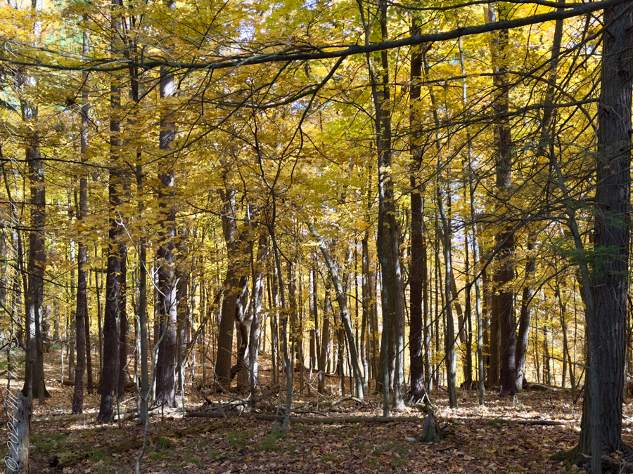
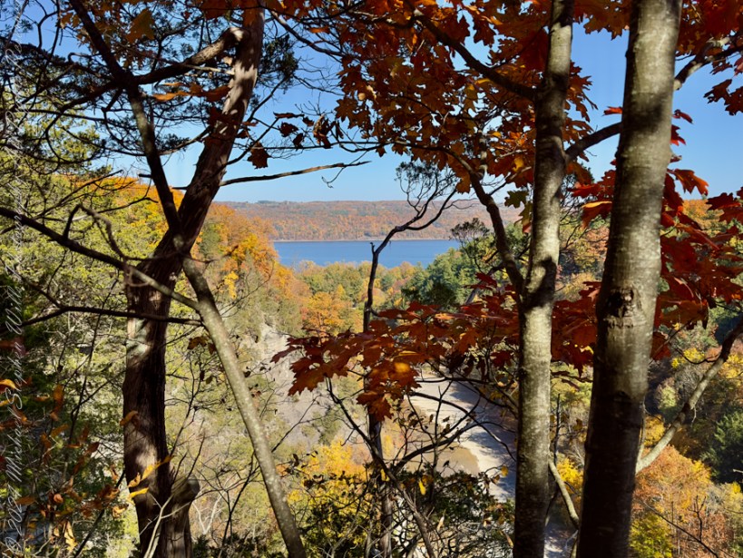
The 2.5 mile trail to Reavis from Pine Creek is typical of the eastern Superstitions, minimally improved, dramatically uneven, littered with boulders polished smooth by decades of hooves, floodwater, and erosion. From Pine Creek there’s a climb of a 631 feet to a 5,278 foot elevation, where the trail meanders beneath a dramatic red cliff with a view of the pinyon/juniper forests on the slopes of Mound Mountain. As he picked our way, The Searcher pointed out the sights. “Circlestone is somewhere over there, a ring of stones overgrown with Alligator Juniper.” I could do little more than observe; photography was entirely out of the question. The trail twisted around the mountain like a dry stream remembering water.
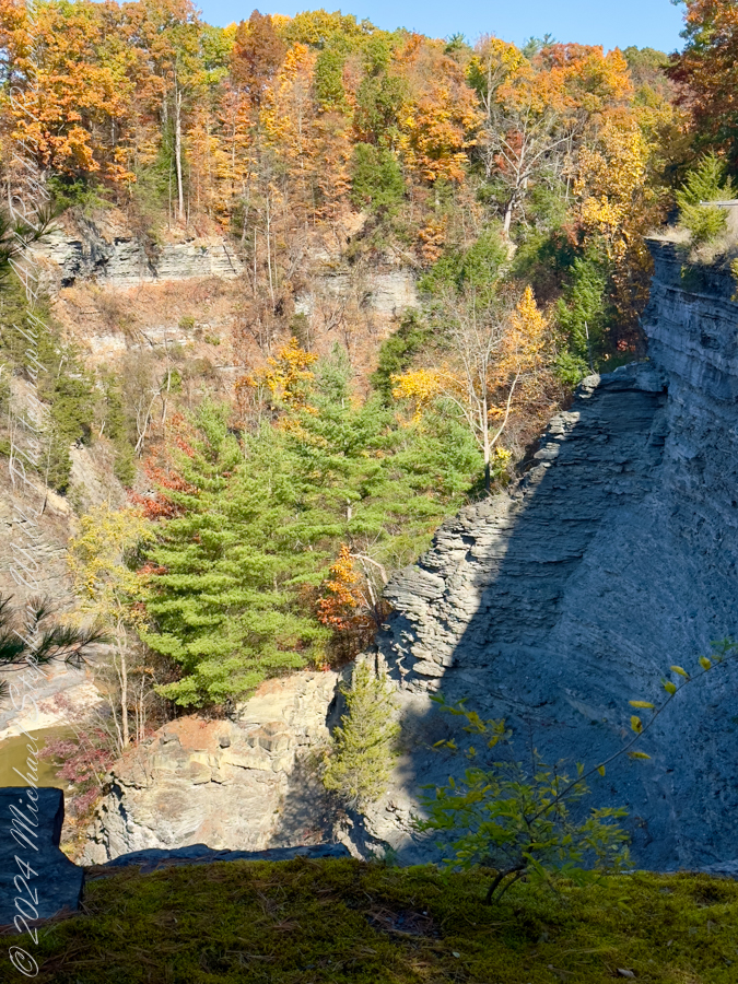
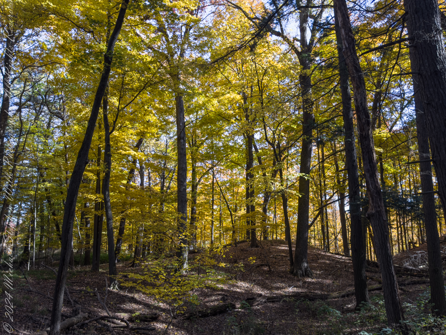
A cliff along the trail to Reavis Ranch offered the ledges and shadowed cover preferred by cougars. In daylight it posed little danger to mounted riders, and attacks against horses were rare. In all our years in Arizona, neither of us had seen more than the tip of a tail slipping behind brush.
This had been a lush April after a wet winter, and small game was plentiful. Only a sick cat would have been desperate enough to stalk horses. The darker possibility—a cougar infected with rabies after encountering a diseased animal at a water source—was a thought neither of us lingered on for long.
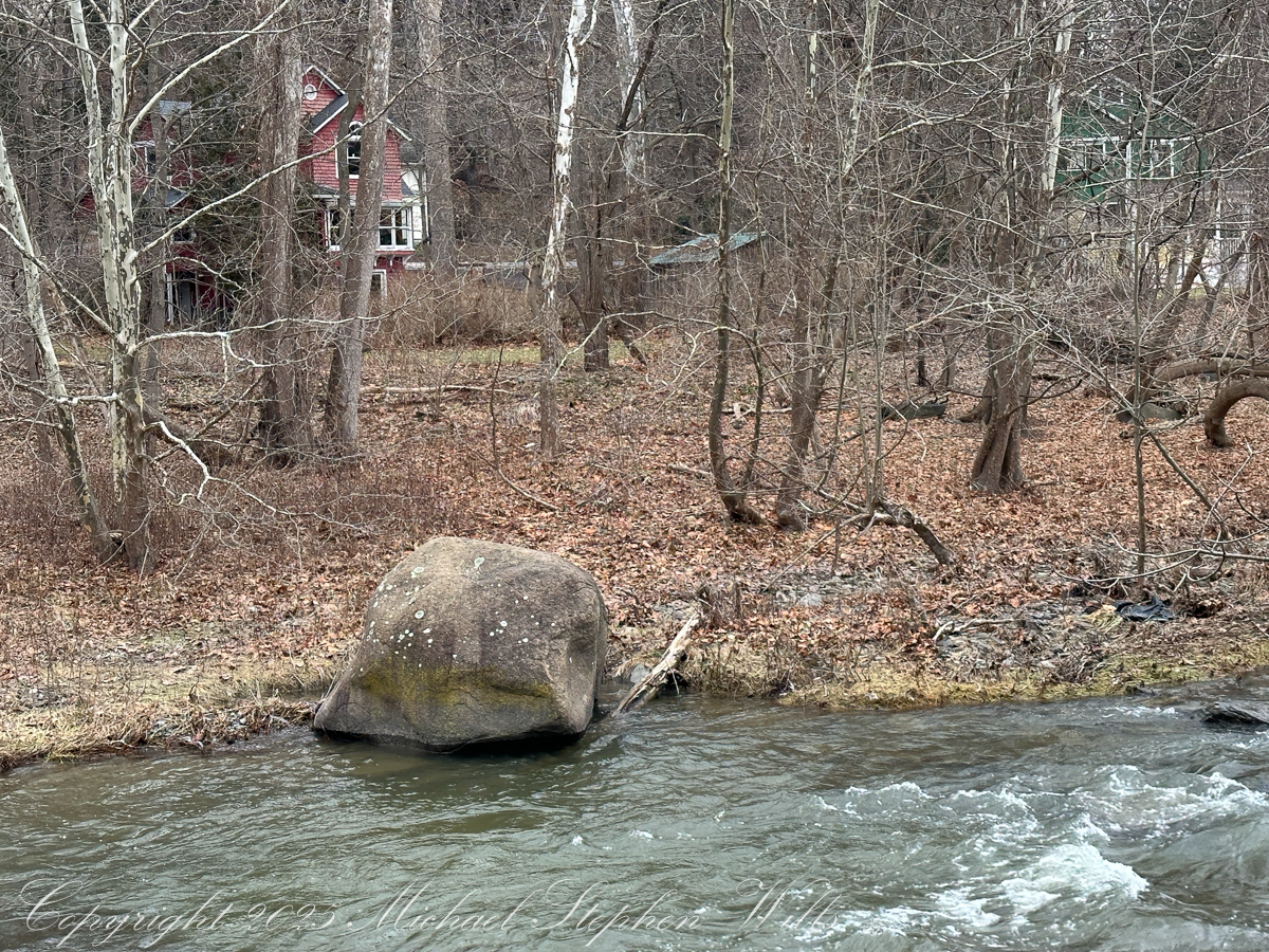
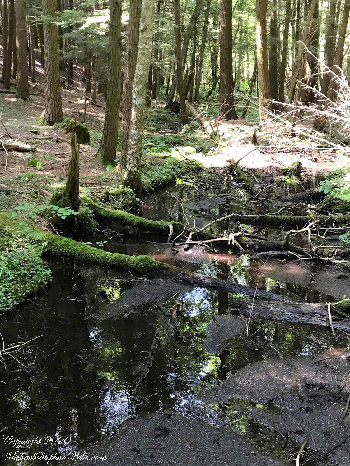
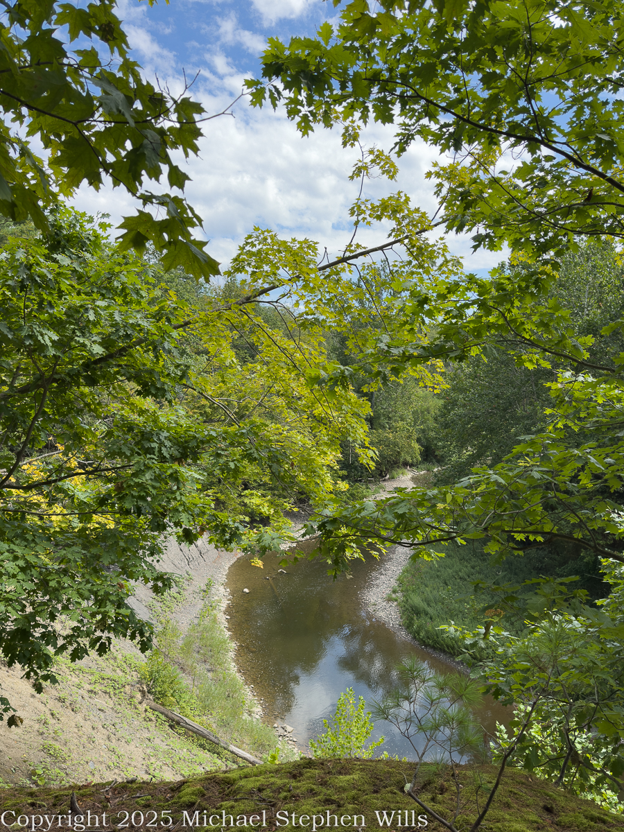
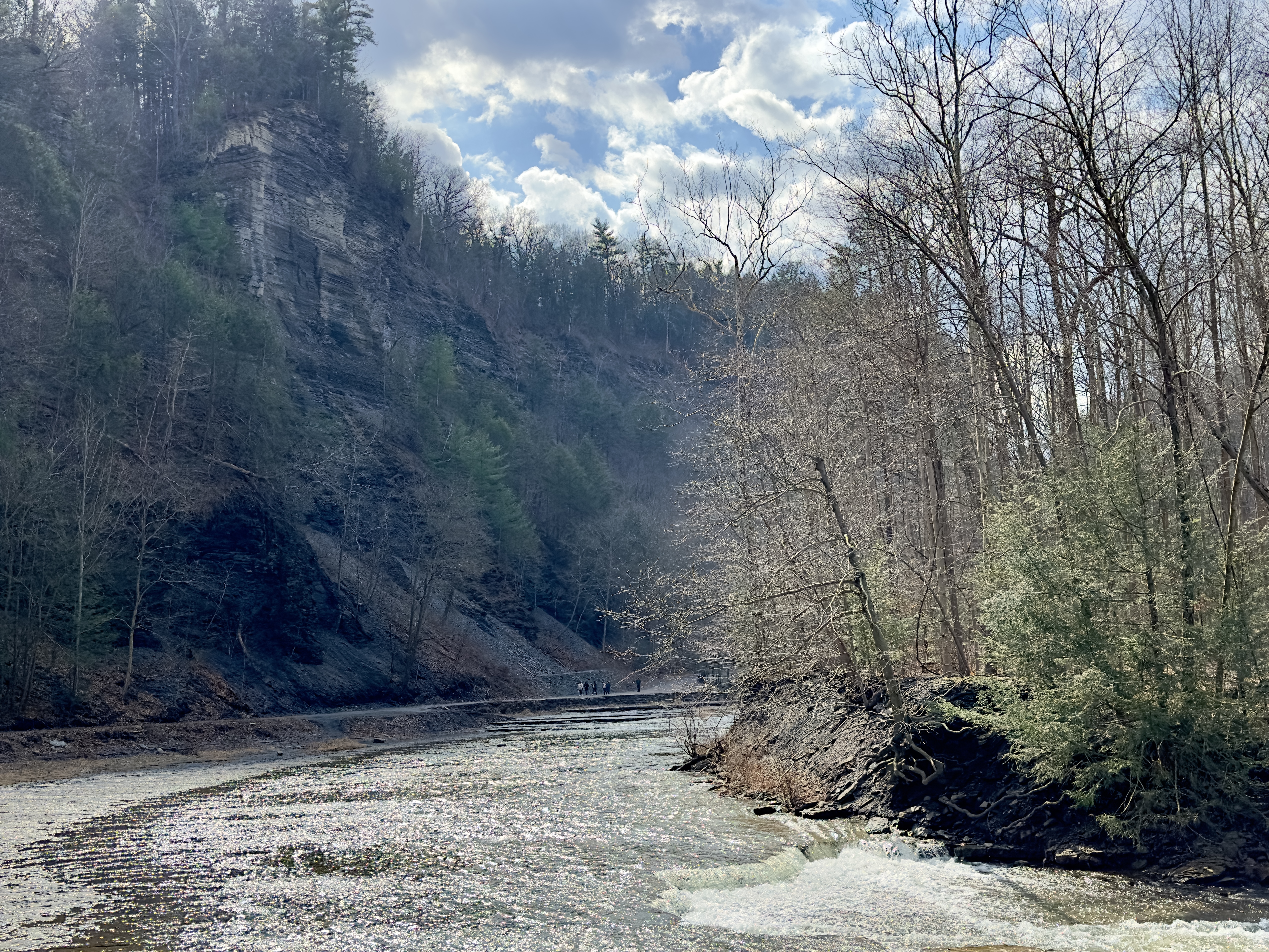
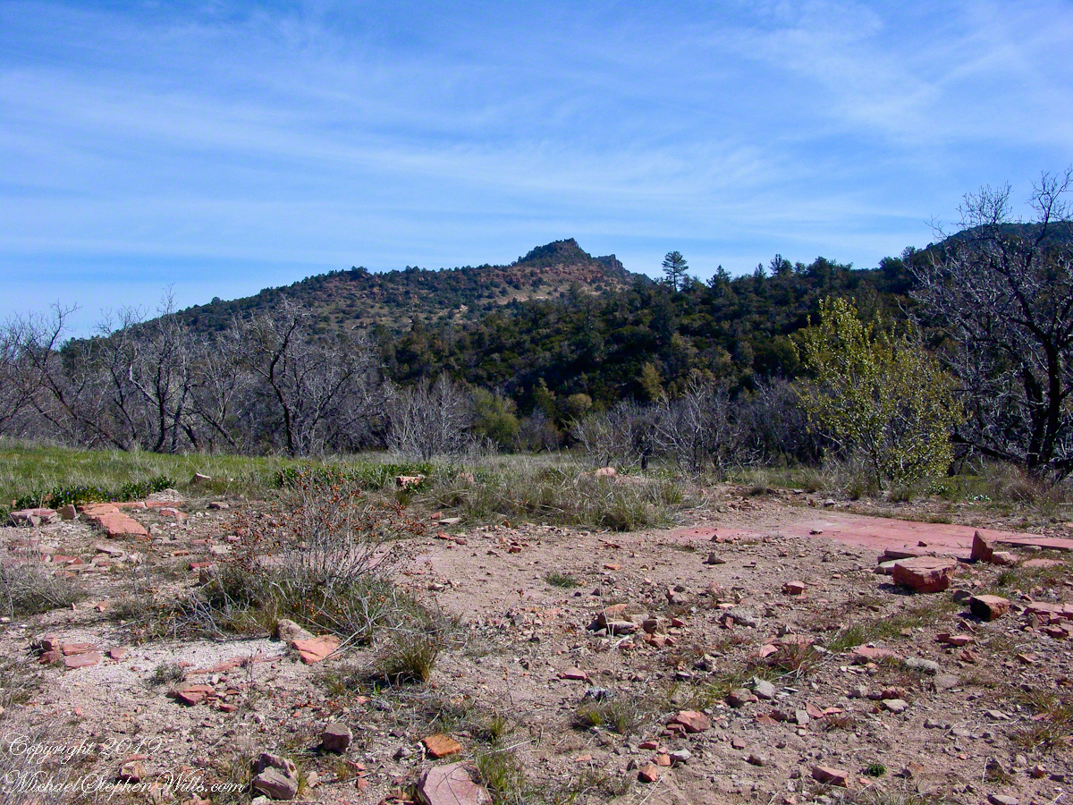
Eventually, the path descended steeply to Reavis Creek, the valley floor and intersected with the Reavis Ranch trail. Heading south the Reavis Ranch trail passes the site of a long abandoned ranch. What remained of the adobe and stone ranch house stood on a level bench overlooking what had once been the corral and a broad open meadow.
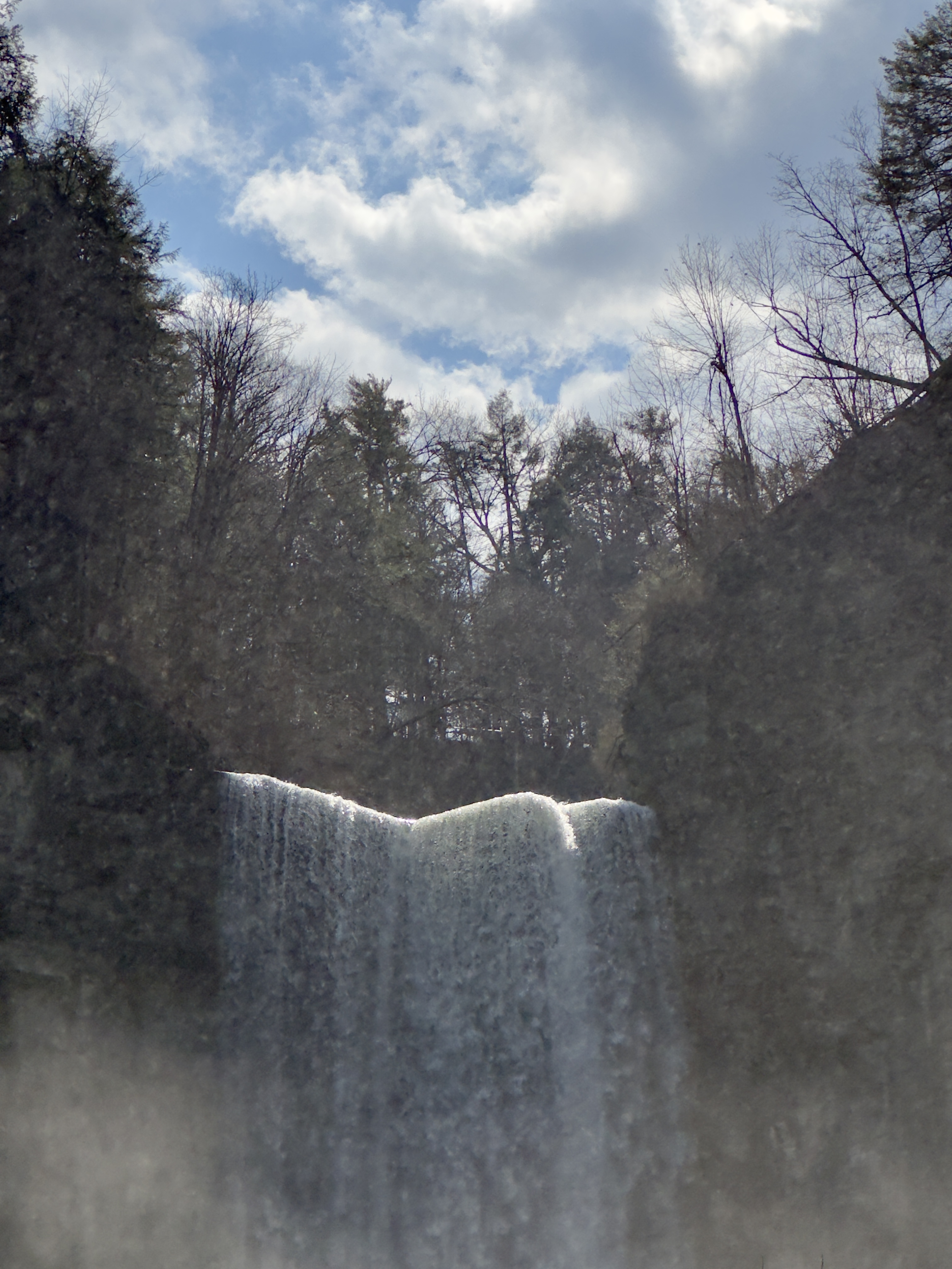
Apple trees in bloom sween from the former site of the ranch house. There used to be a pond near this spot. With a little imagination, the trail from Pine Creek can be seen on the far ridge.

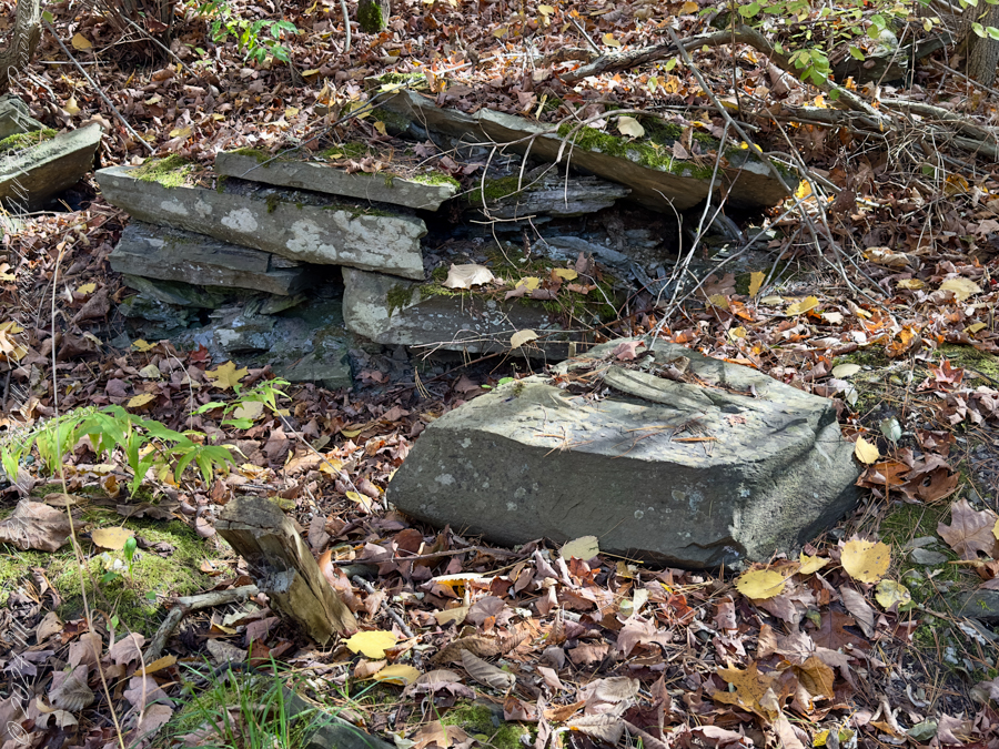
The US Forest Service razed the building after it “burned to the ground” Thanksgiving 1991. I would not call what is left “a foundation,” it is a platform where the house stood. In the photograph, the surviving tiles still suggest the modest warmth of a lived-in home. I’ve seen old photographs of the structure with a large pond to the left of this view, a door and simple porch face east and the pond used to hold irrigation water. The leveled ruin possessed the melancholy geometry of abandoned human hope.
Turning from the ruin, another structure came into view. Built into the western slope above the valley floor was a hexagonal adobe foundation overlooking the remains of the ranch house across the trail.
My interpretation rests partly on the surrounding terrain. South of the structure runs the shallow trace of an excavated canal, suggesting that water from upper Reavis Creek—or one of its tributaries—was diverted into a catchment basin before being stored or directed toward irrigation.
Whatever its exact purpose, the site commands sweeping views of the central valley and is a beautiful place to watch evening settle over the orchard.
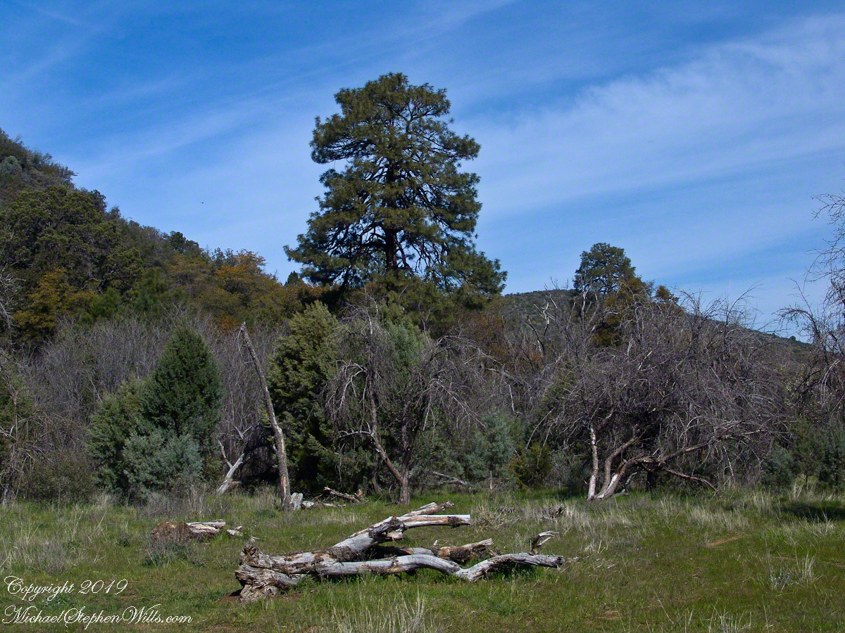
The Searcher led me to a place a few hundred yards south, in a narrowing of the valley, where he let Colorado and Nugget roam free. The horses appreciated the level, open spaces and I enjoyed the Ponderosa pines on the west valley slope. We sat on the smooth trunks of fallen trees, 4 feet in diameter, near Reavis Creek.
Colorado took this opportunity to bolt, headed south. We took off after him into and through a thicket of locust trees where The Searcher cornered Colorado to regain control. “He was abused by a previous owner and can be difficult at times” was how The Searcher put it.
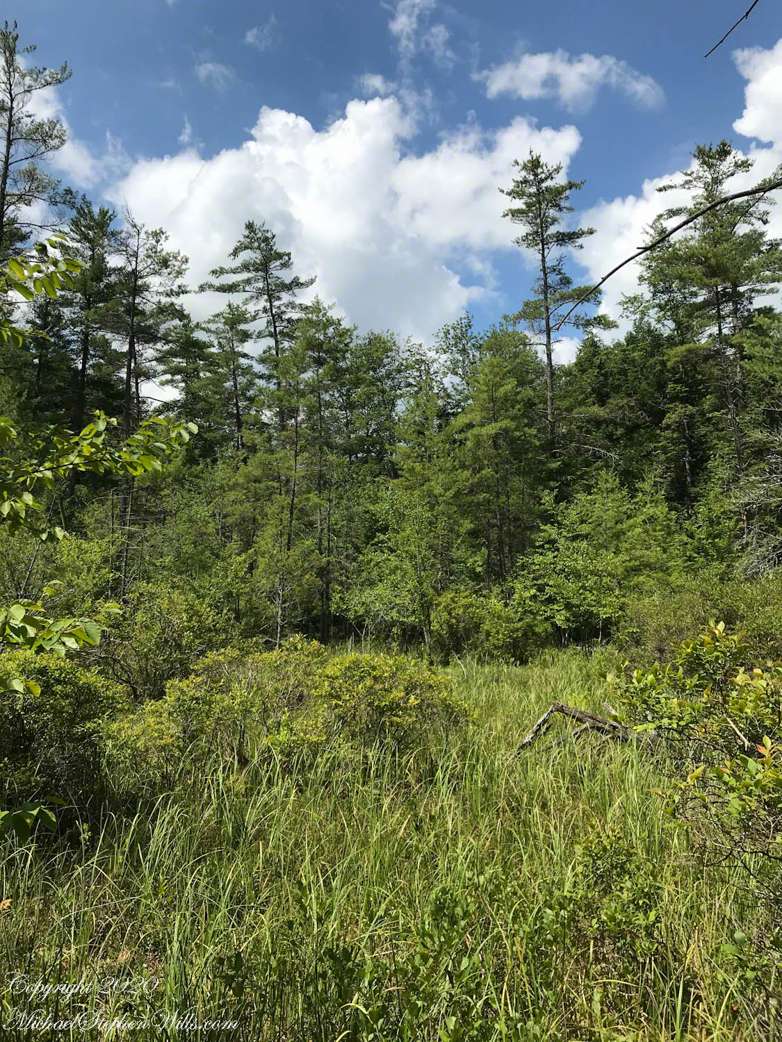
We were close to the end of Reavis Valley where Reavis Creek originates from the drainage of White Mountain, to the west.
We headed north here, back to the ranch house site, to the lush new grass of the apple orchard.
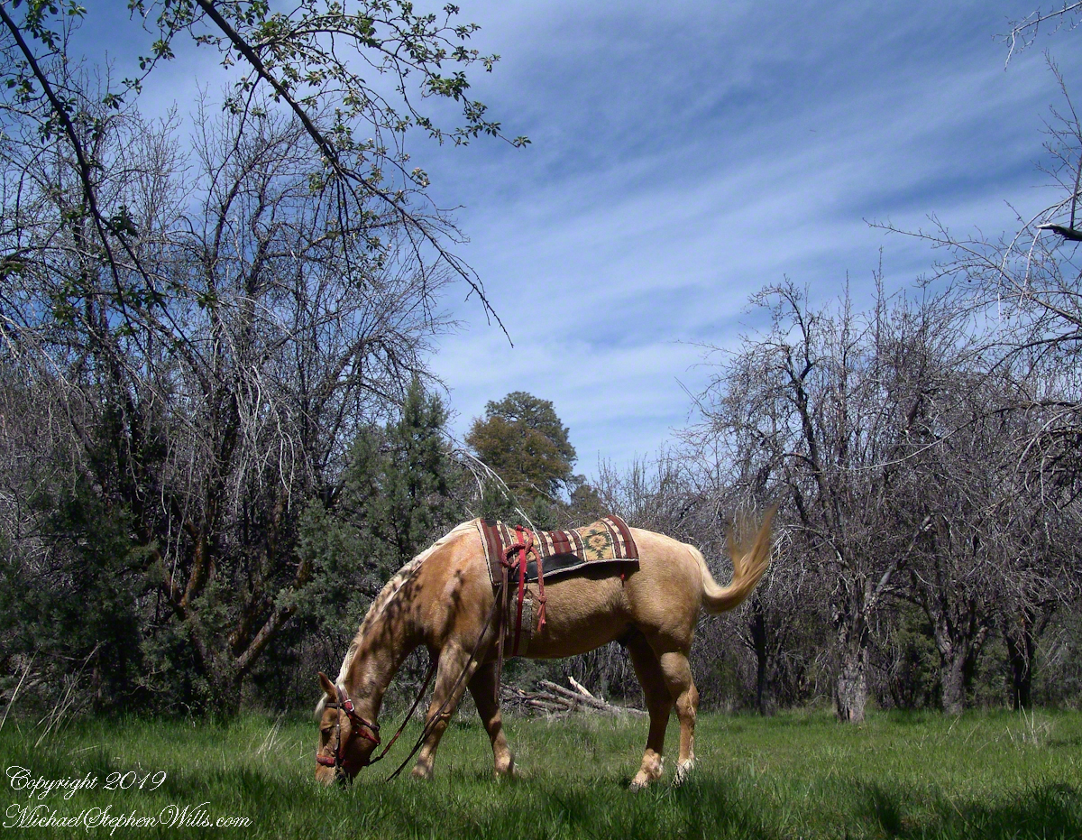
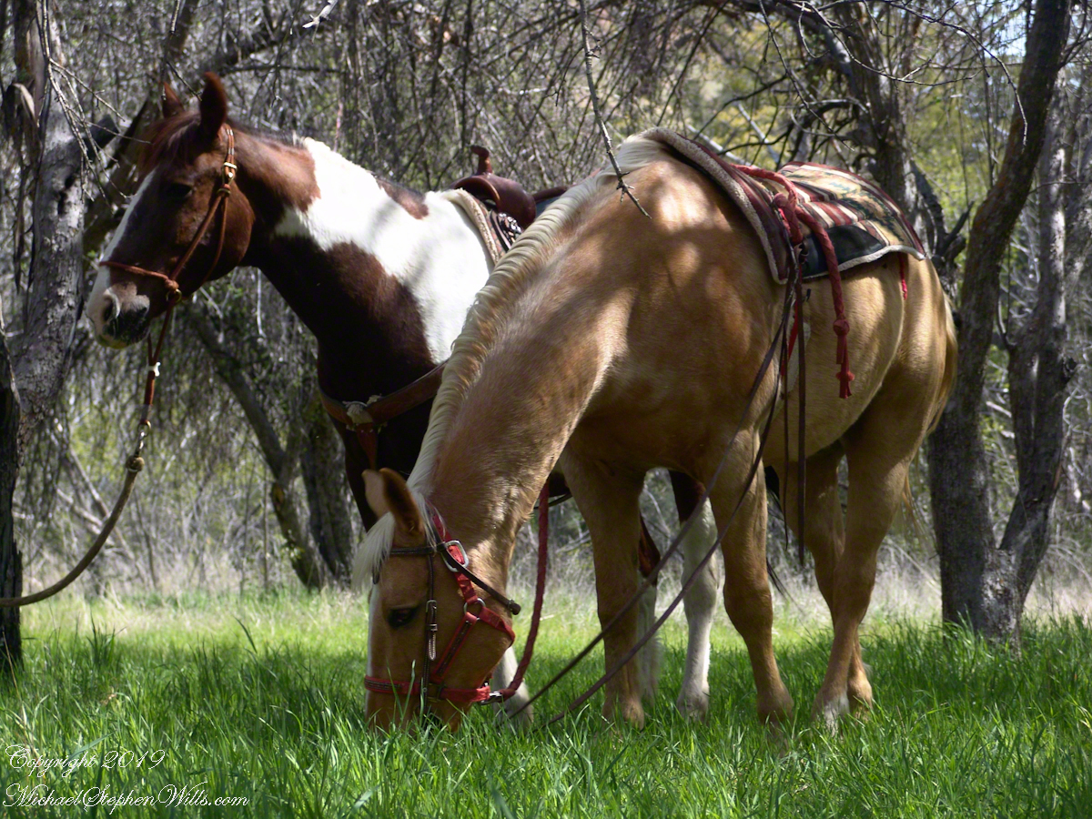
Nugget grazed, tethered with plenty of slack, with the calm assurance of an animal that knew it had arrived in horse heaven. This photograph of the pair shows their personalities, Colorado edgy, Nugget content to feast while the grass is available. The orchard grass rolled in waves around their legs like green water beneath anchored boats.