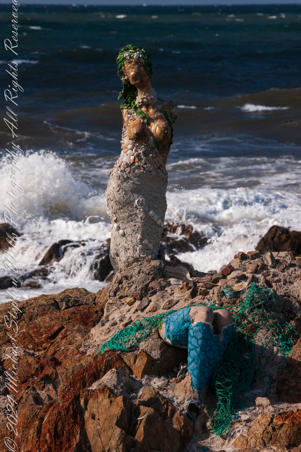
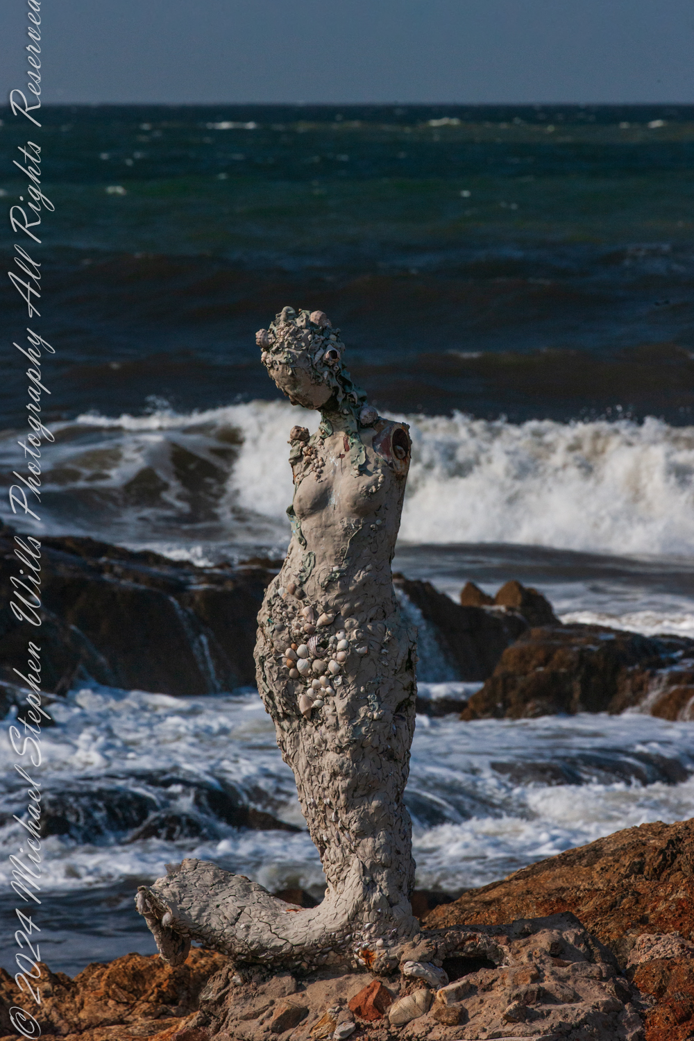
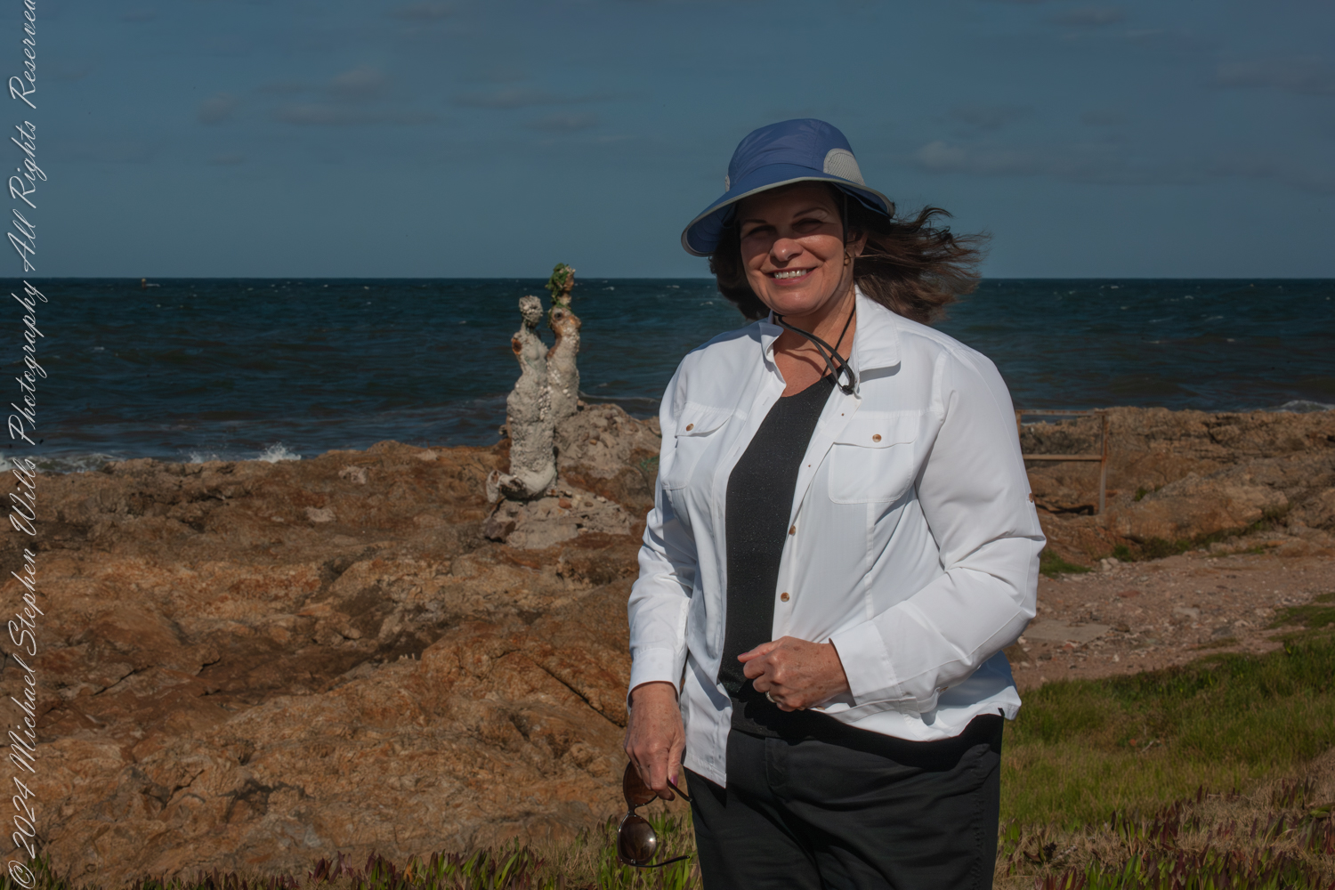
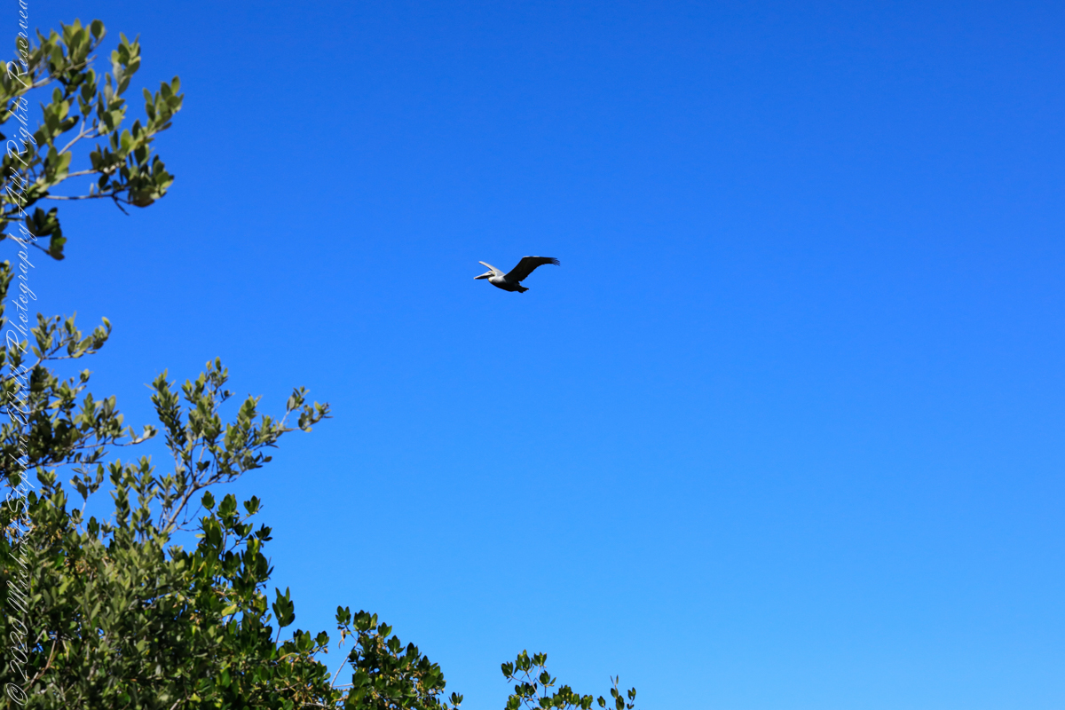
The wind carried the scent of the sea as we stood at Punta de las Salinas, the furthest tip of Punta del Este, Uruguay. This was a place of myth and mystery for us, where the Atlantic Ocean merged with the Río de la Plata, and where the rocks bore witness to the timeless interplay of water and stone. Here stood “El Canto de las Sirenas” (The Song of the Mermaids), an evocative art installation by Lily Perkins, first completed in 2012. The sculptures seemed perfectly at home here, their placement deeply intertwined with the mythology they evoked.

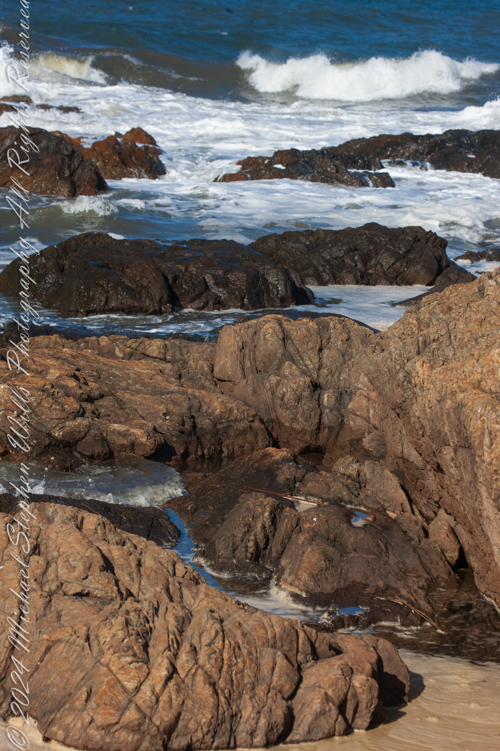
The sirens of ancient lore were said to dwell at perilous points where land met the untamed sea, luring sailors to their doom with haunting songs. These rocky outcrops, both a boundary and a threshold, have long held symbolic power as places where the natural world is at its most raw and elemental. Punta de las Salinas is such a place. Its jagged rocks and churning waves create an environment as beautiful as it is treacherous. It is easy to imagine mythical sirens choosing this very spot to weave their spellbinding melodies.
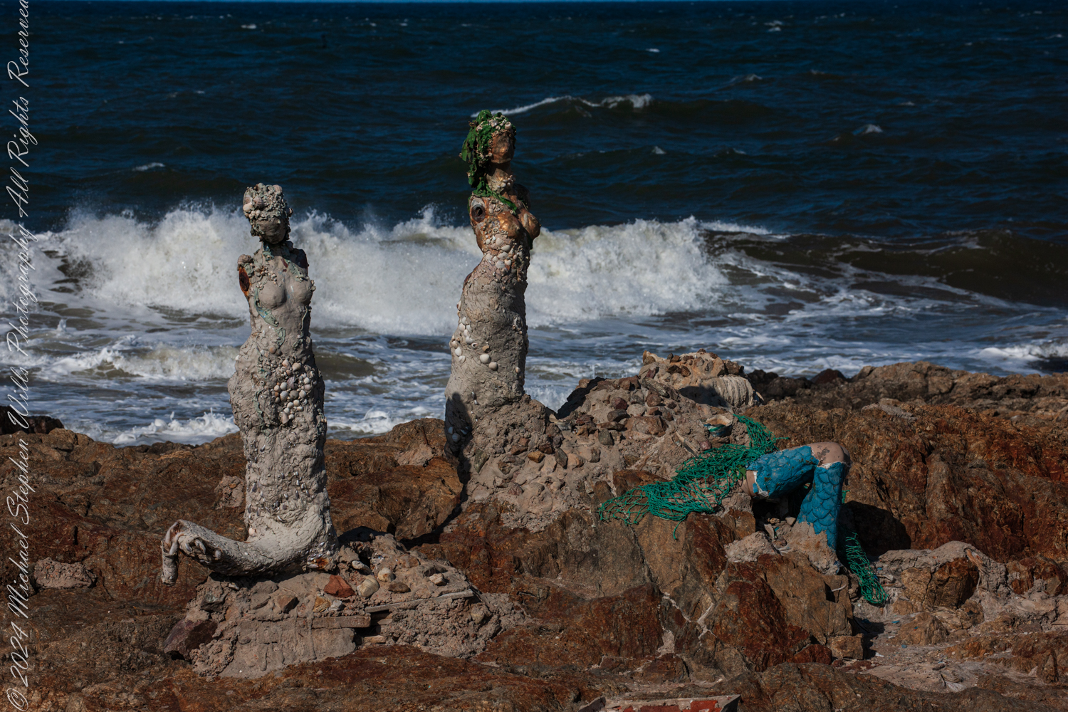
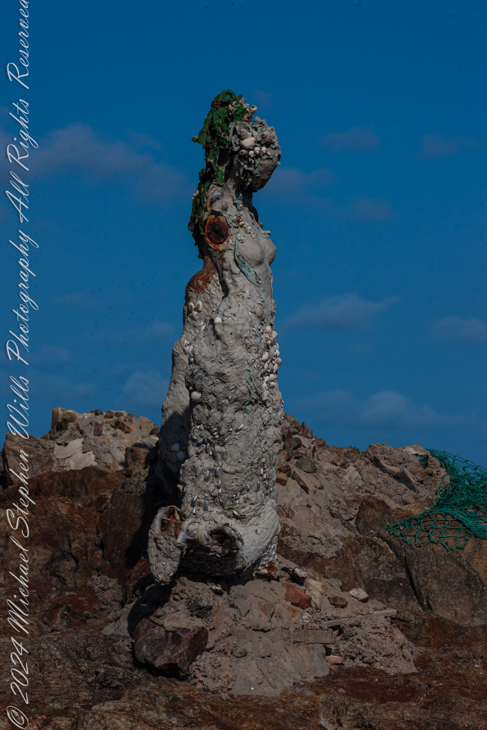
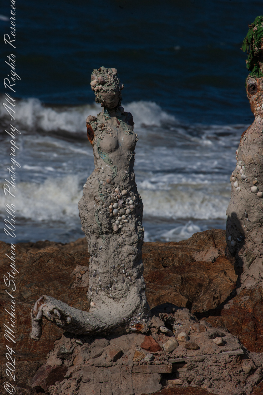
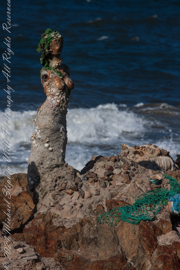
Lily Perkins’ installation captures this essence. The sculptures are not idealized depictions of mermaids; they are rugged and raw, encrusted with shells, stones, and marine debris. Their weathered forms mirror the harsh, untamed beauty of their surroundings. It is as if they have emerged from the ocean itself, born of the waves and the salt-laden air, to stand as sentinels at the edge of the world.

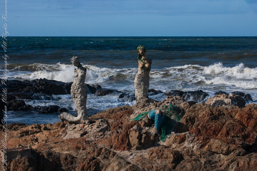
The central figure, with her face turned skyward, evokes the myth of the siren’s song—a melody so enchanting that it drove sailors to risk their lives against the rocks. Her posture suggests longing, perhaps for a connection beyond the horizon, or perhaps for the very mortals she is fated to ensnare. Nearby, a broken figure reclines against the rocks, her form partially encased in green netting and mosaic-like tiles. She seems more grounded, her siren’s call muted, as if weighed down by the realities of the modern world. The use of marine materials in her construction—a blend of natural and human-made debris—suggests an awareness of humanity’s impact on the seas.
The third figure, slightly apart, is the most enigmatic. Encrusted with barnacles and weathered by the elements, she seems lost in thought. Her gaze is directed not toward the sea but toward the land, as if contemplating her place at this meeting of worlds. In mythology, sirens were liminal creatures, existing between realms—the sea and the shore, the mortal and the divine. This figure embodies that in-between state, rooted in the rocks yet shaped by the sea.
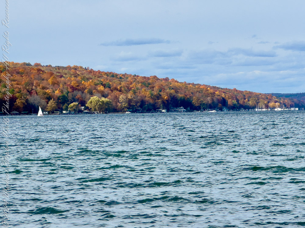
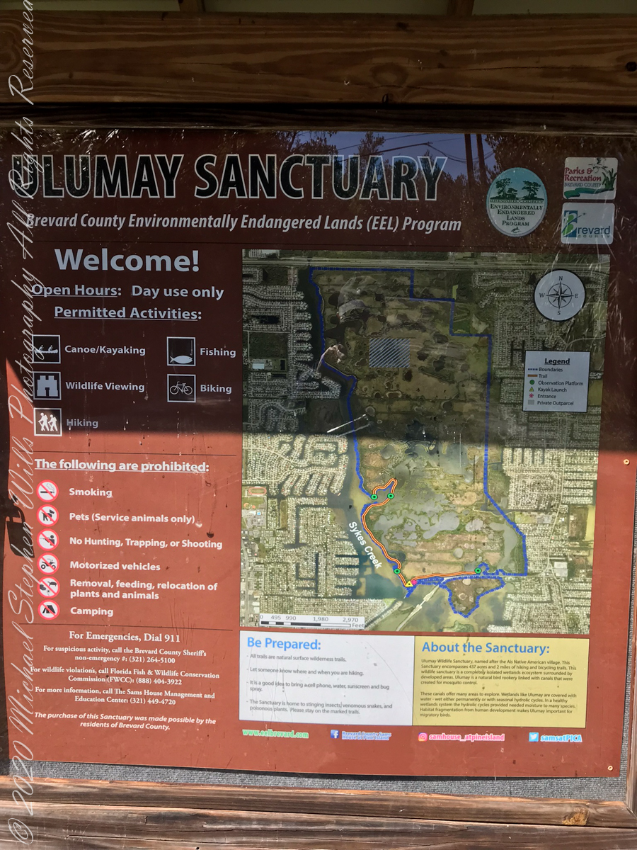
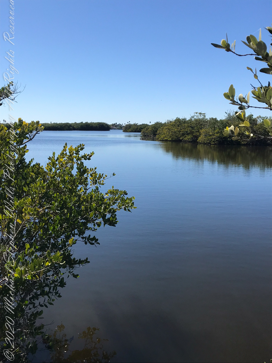
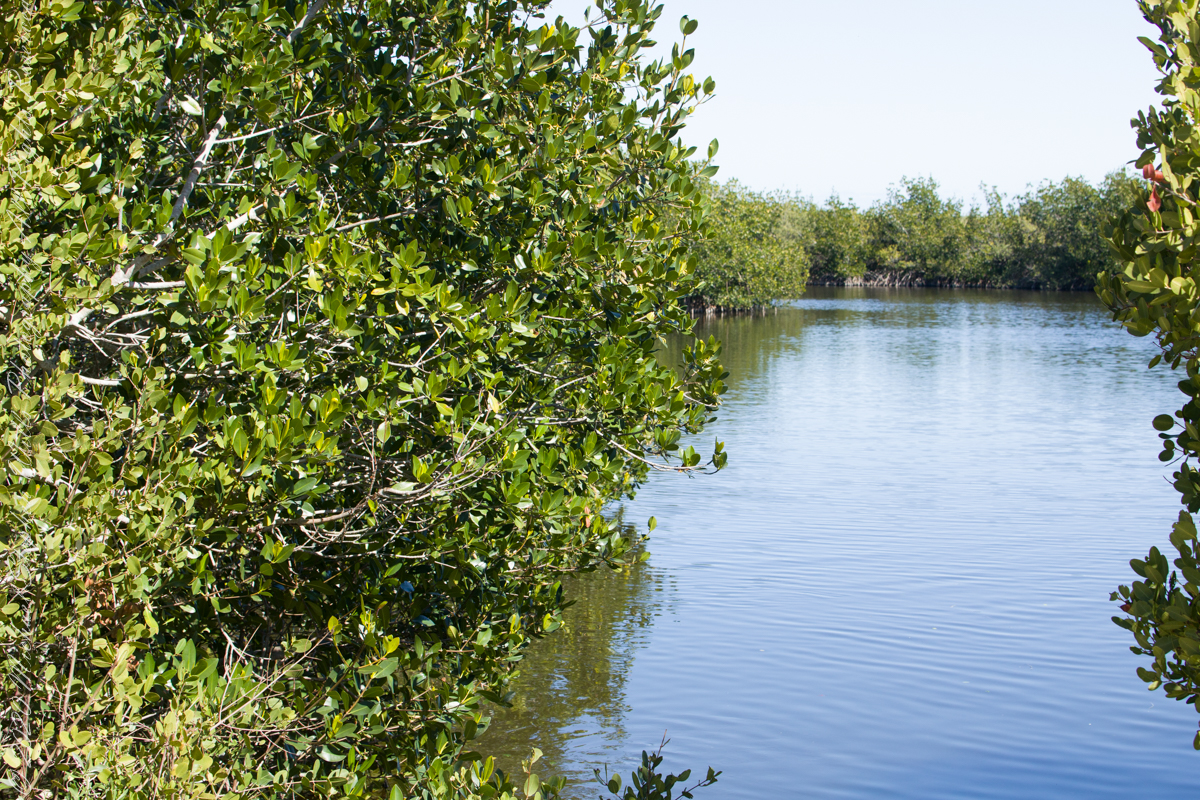
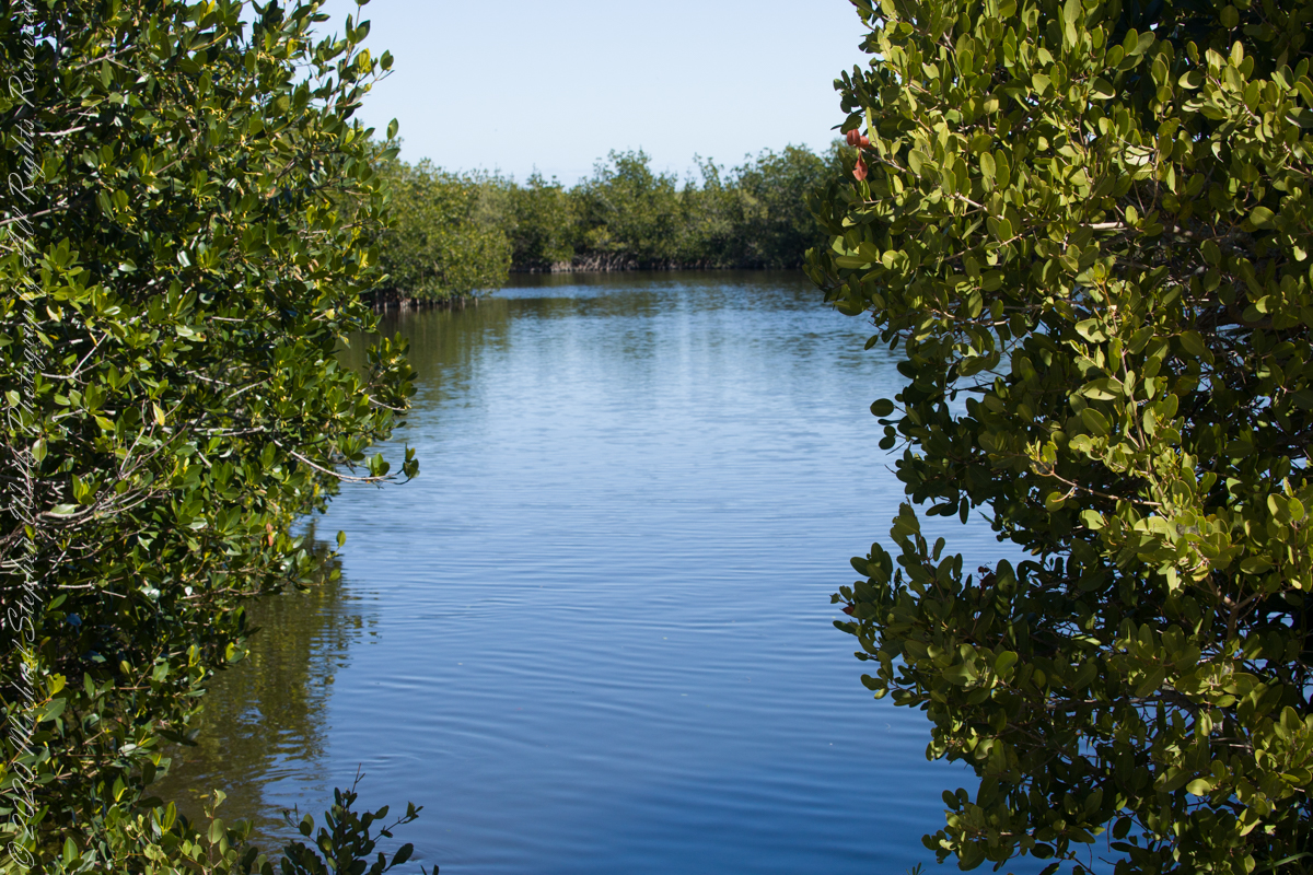
The placement of these sculptures at Punta de las Salinas is no accident. This headland is the easternmost point of Uruguay, a natural boundary and a crossroads where two vast bodies of water meet. For centuries, sailors navigated these waters, their journeys fraught with danger. The rocks here are unforgiving, and the waves crash with relentless power. To stand at this point is to feel the raw energy of the ocean and to understand why myths of sirens arose in such places. The sirens symbolize both allure and peril, a reminder of the ocean’s capacity to inspire and to destroy.
As I walked among the sculptures, the mythology seemed to come alive. The sound of the waves crashing against the rocks could easily be imagined as the sirens’ song—a hypnotic rhythm that draws you in and holds you spellbound. The figures, though silent, seemed to hum with an energy that echoed the sea’s eternal motion.
I feld these sculptures were not merely placed at Punta de las Salinas; but had emerged from it, their forms shaped by the same forces that shaped the rocks beneath our feet. The shells and stones embedded in their surfaces tied them physically to the sea, while their mythical resonance tied them spiritually to the place.
The mythology of the sirens speaks to the duality of the sea—its beauty and its danger, its capacity to give and to take away. Standing at Punta de las Salinas, surrounded by Perkins’ sculptures, I felt that duality in a profound way. The ocean stretched endlessly before us, a vast, unknowable expanse, while behind us lay the solid ground of the peninsula—a place of safety, but also a place that ended here, at this edge.
As we left, the figures seemed to watch us go, their silent song lingering in my mind. The sirens of Punta del Este are more than art; they are a dialogue between myth and reality, between the natural world and the human imagination. In their weathered beauty, they remind us of the stories the sea has always told, and of the enduring power of those who give those stories form.
Enter your email to receive notification of future postings. I will not sell or share your email address.


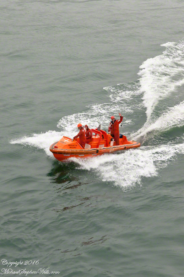
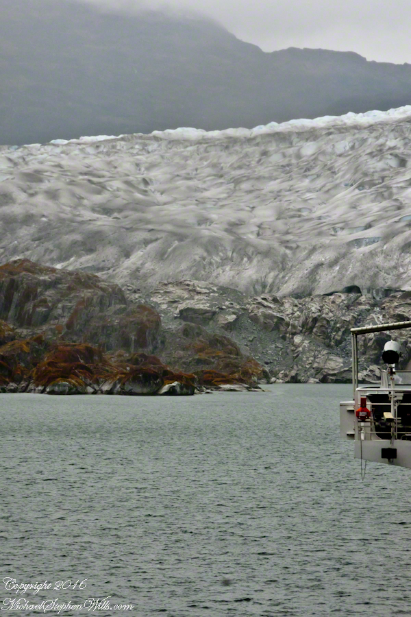
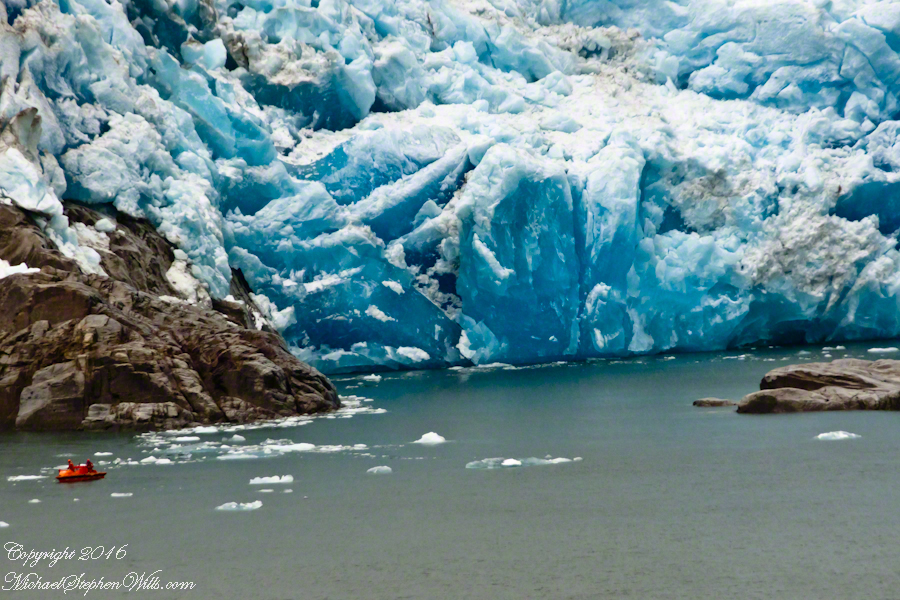
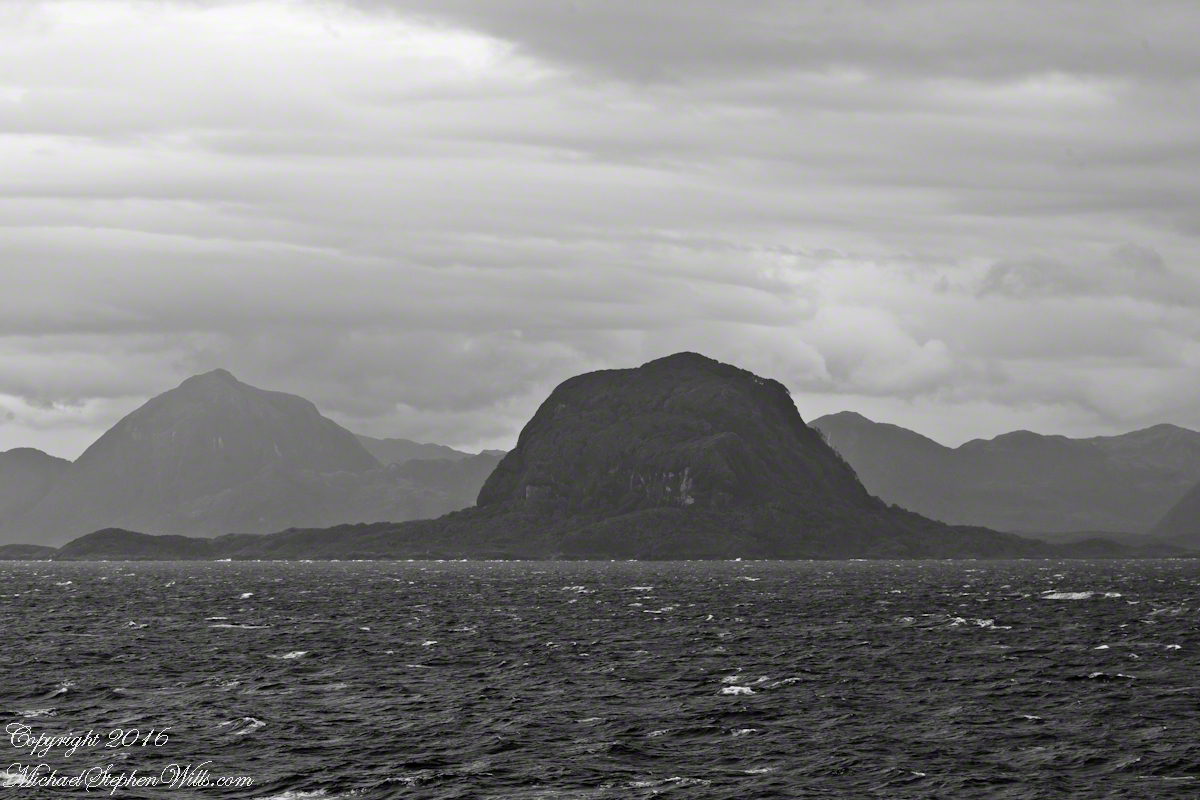
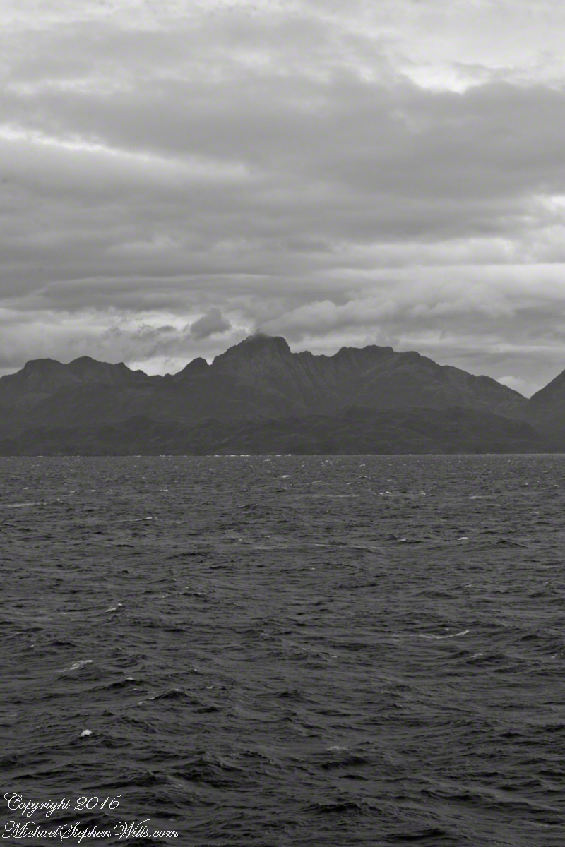
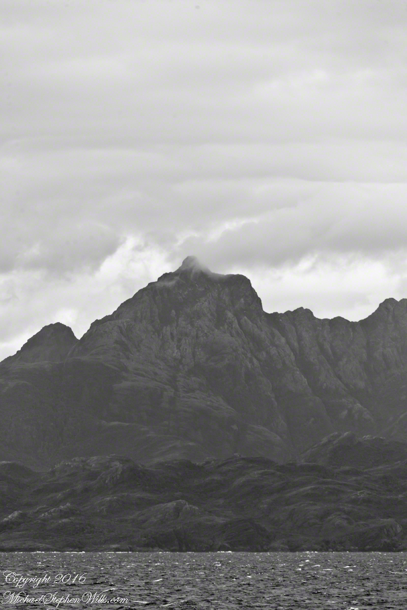
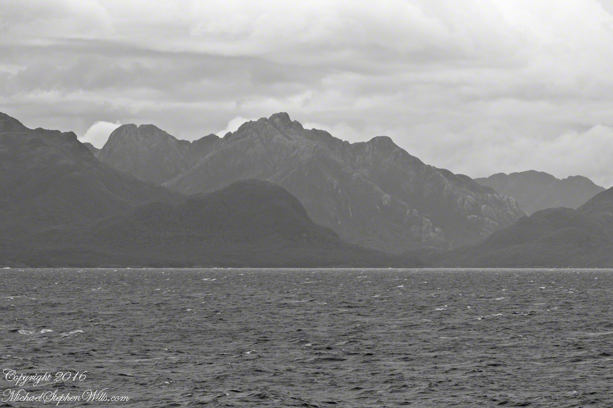
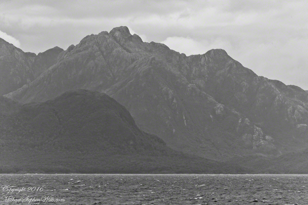
 A glacier is more than ice; not alive, it crawls; not feeling, it groans, cackles, shouts; passive, it is dangerous to approach closely backed as it is by the southern ice field, over a mile high. The ship nudged as close as a half mile from the massed ice, navigating using the bow thrusters to face first port, then starboard and back to port. I was lucky enough to be on the 11th deck, pictured above, when we caught sigh of the fast ship’s launch, manned by ship’s crew.
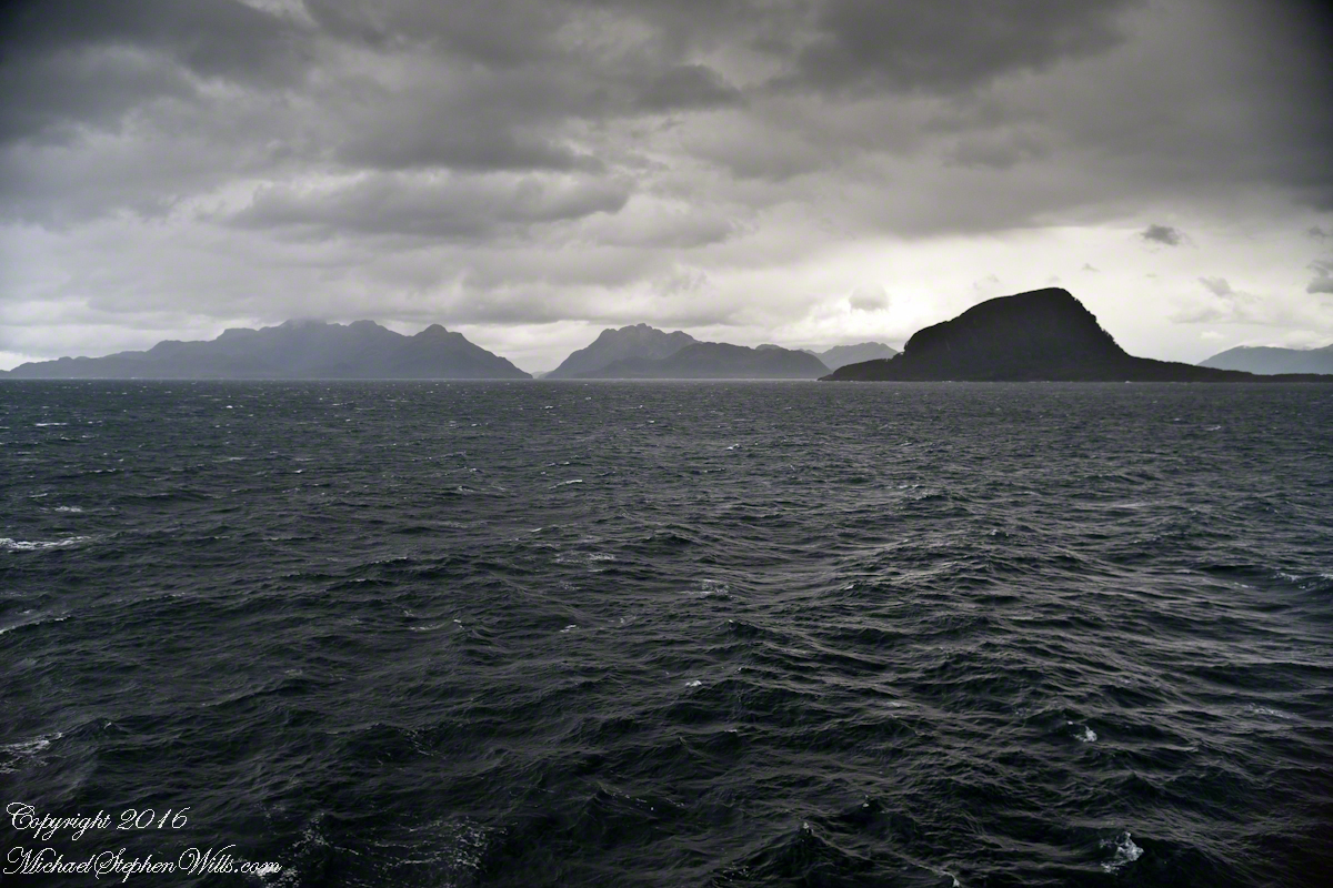