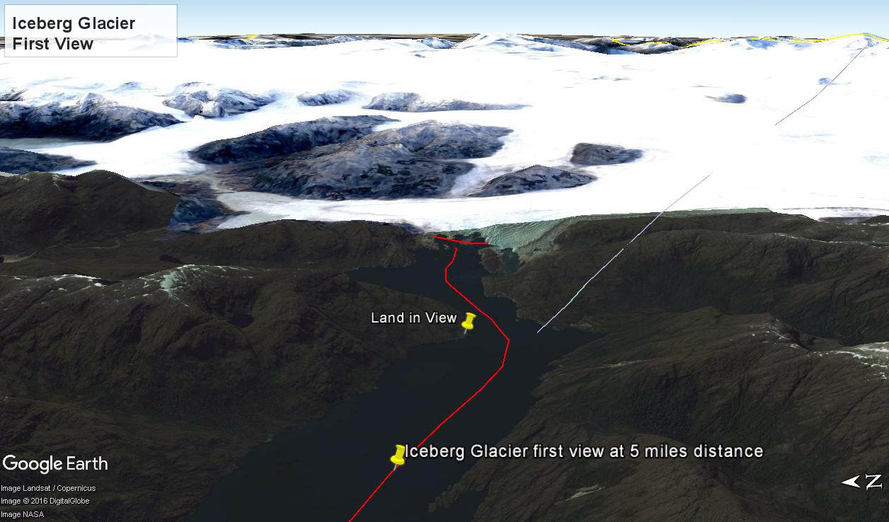
At 5:09 PM (daylight savings time for Chile) the Regatta turned to starboard to navigate around a headland of Farquhar Island. Iceberg Glacier came into view from our port side stateroom terrace. I was set up with the Canon 300 mm variable lens set to 120 mm (1/500 second, F11, ISO500), tripod mounted, to capture the ice from 5 miles distance. The location is marked on the above GoogleEarth view. The red line leading in is our course. On the right, the white line is the boundary between Chilean regions Aisen and Magellan.
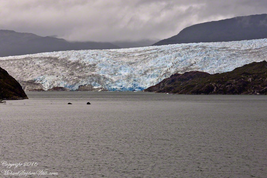
Visible is the .75 glacier front, 500+ feet above the head of Tempanos Fjord. On the GoogleEarth view the front is marked with a red line. Yes, more than 500 feet above the water. In mid-view there are two rocks in the water. Behind them, under the glacier, is a rock face. That rock is 100+ feet tall.
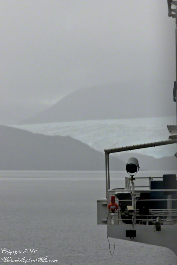
Twenty seven (27) minutes later I used a handheld Sony with variable lens set to 200 mm (1/500 second, F13, ISO800) to capture this image of the ship bridge superimposed on the glacier.

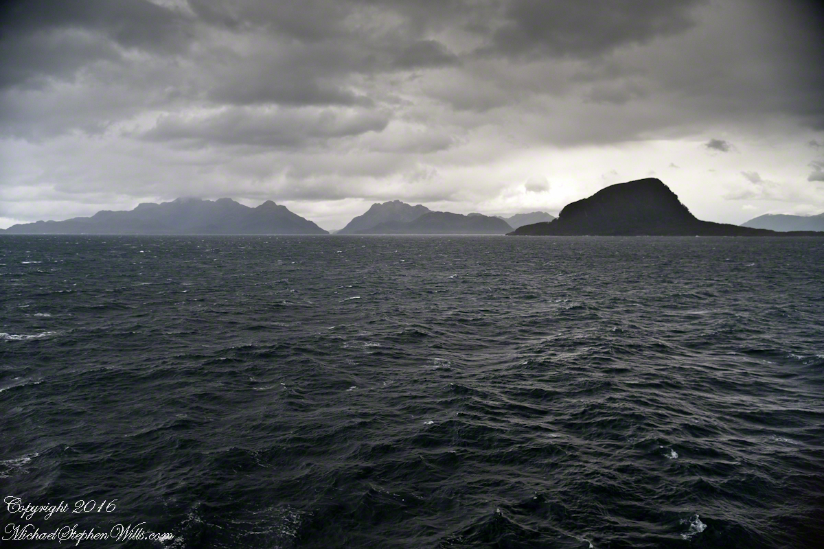
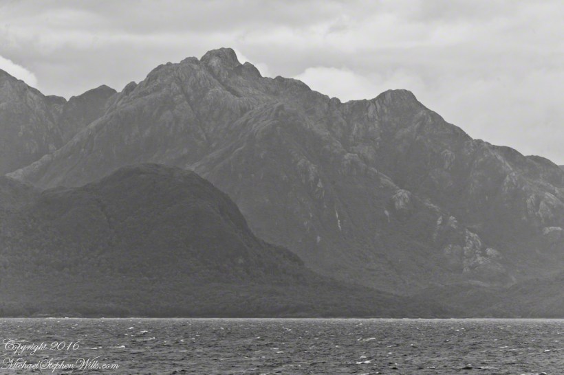
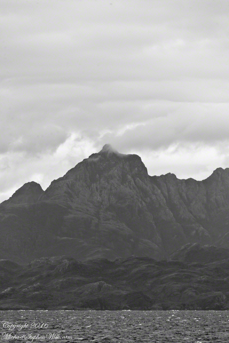
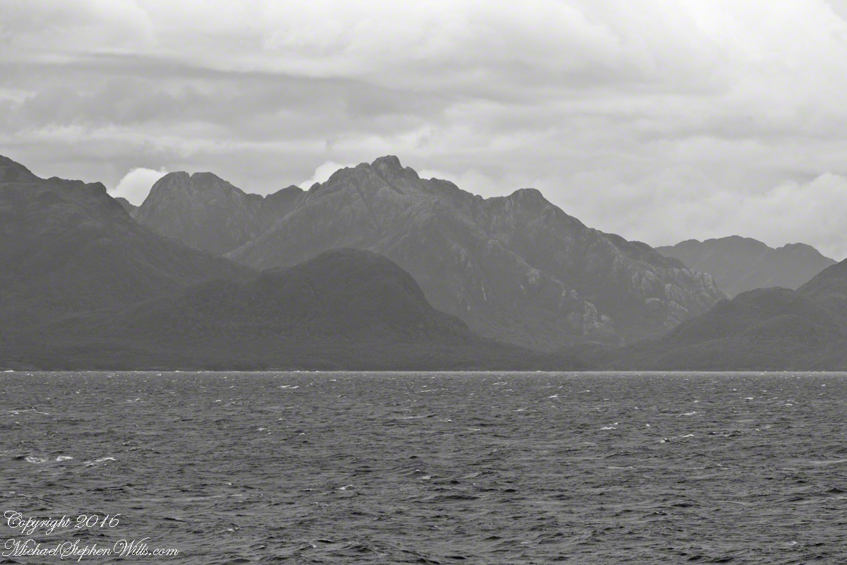
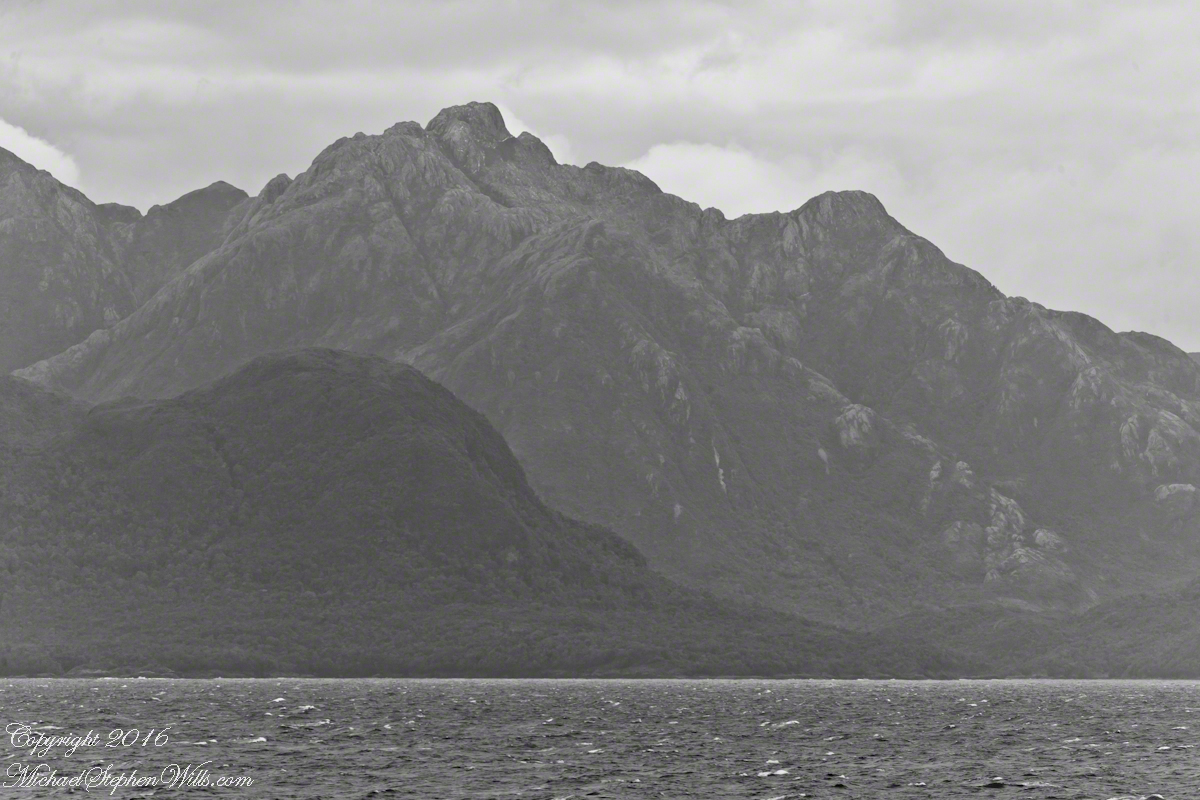
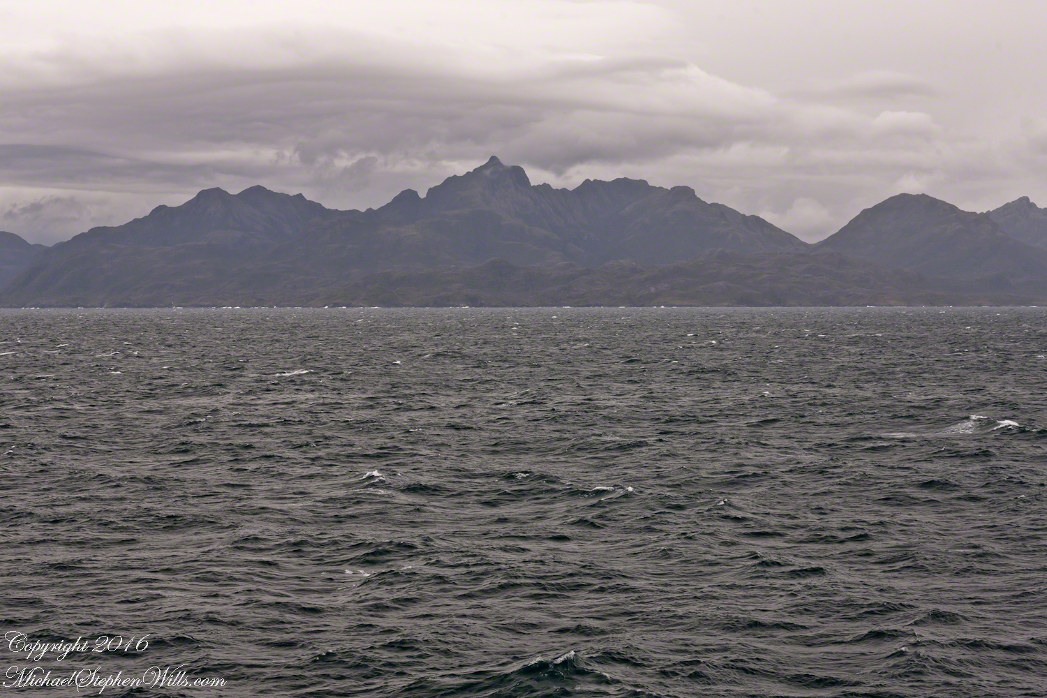
All you see is part of the Bernardo O’Higgins National Park. Named for a founding father of Chile, the country’s first head of state, the park covers 13,614 square miles.