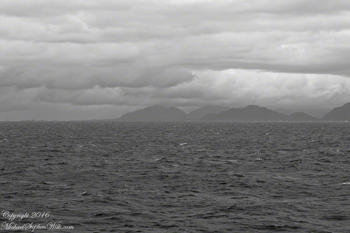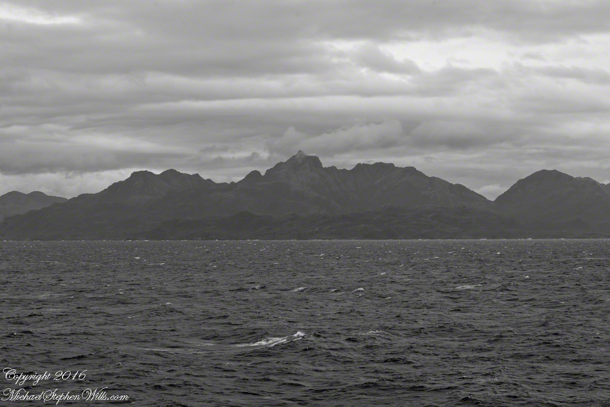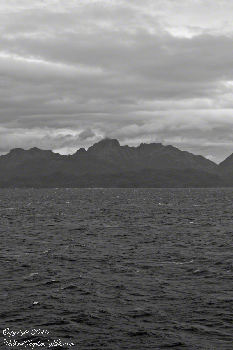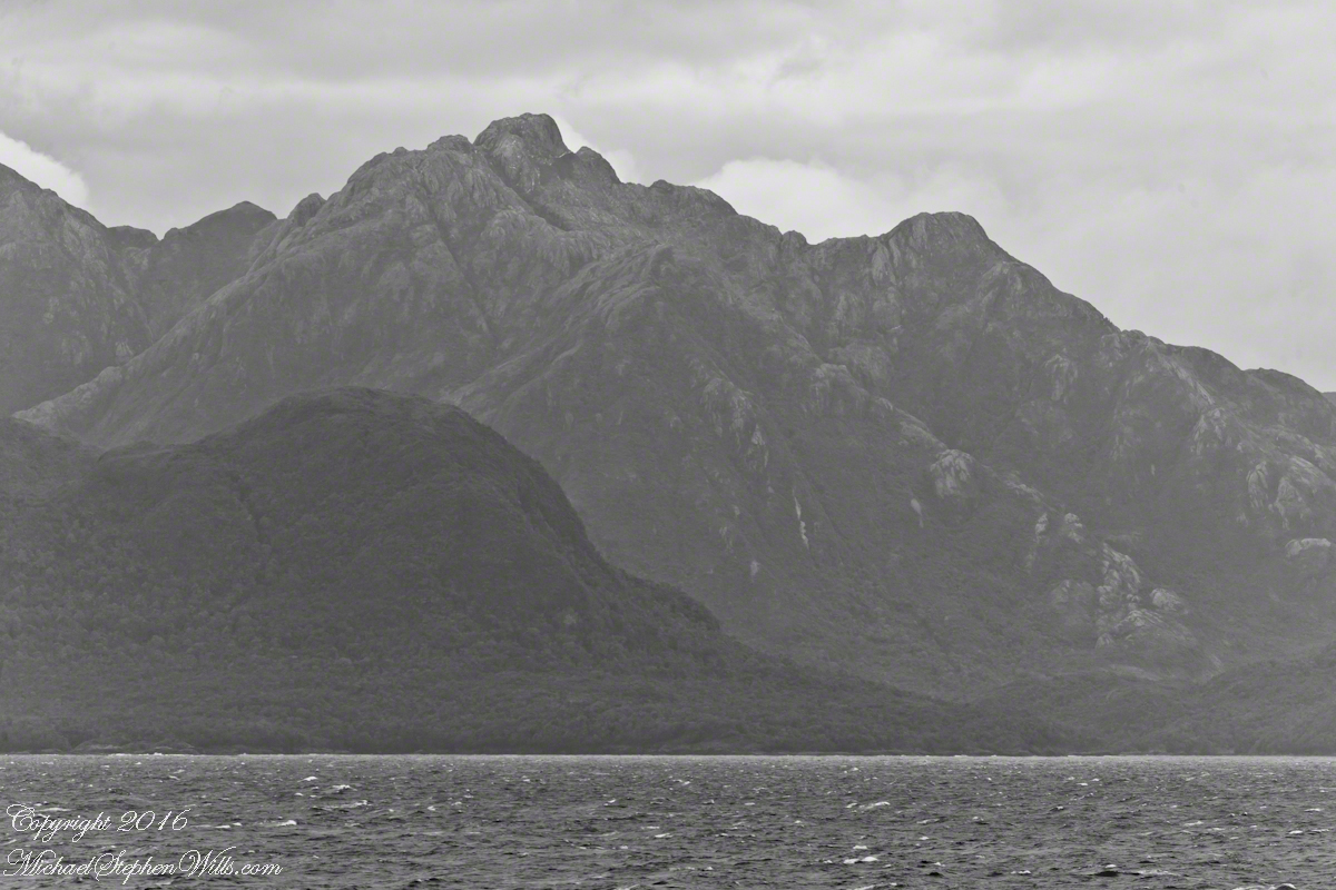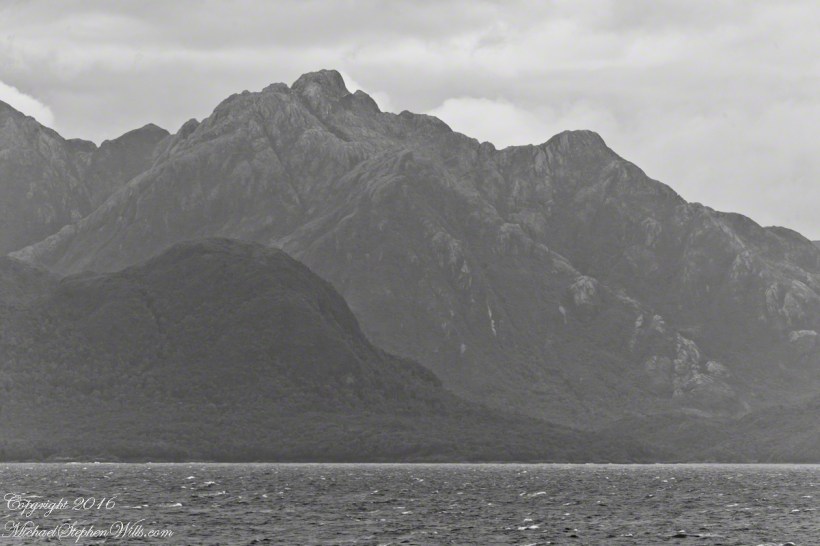
In English the Gulf of Penas means “Gulf of Distress.” Open to the storms of the western pacific ocean, ships seeking refuge sail this body of water to reach the shelter of the bays around the entrance of the Messier Channel.
Stargazing Chileans named the channel after Charles Messier (1730 – 1870), author of a catalog of 110 visually diffuse celestial objects such as the Great Cluster of Hercules, the Crab Nebula of Taurus, the Ring Nebula of Lyra. As Messier catalog objects these are listed on star charts as M13,M1,M57.
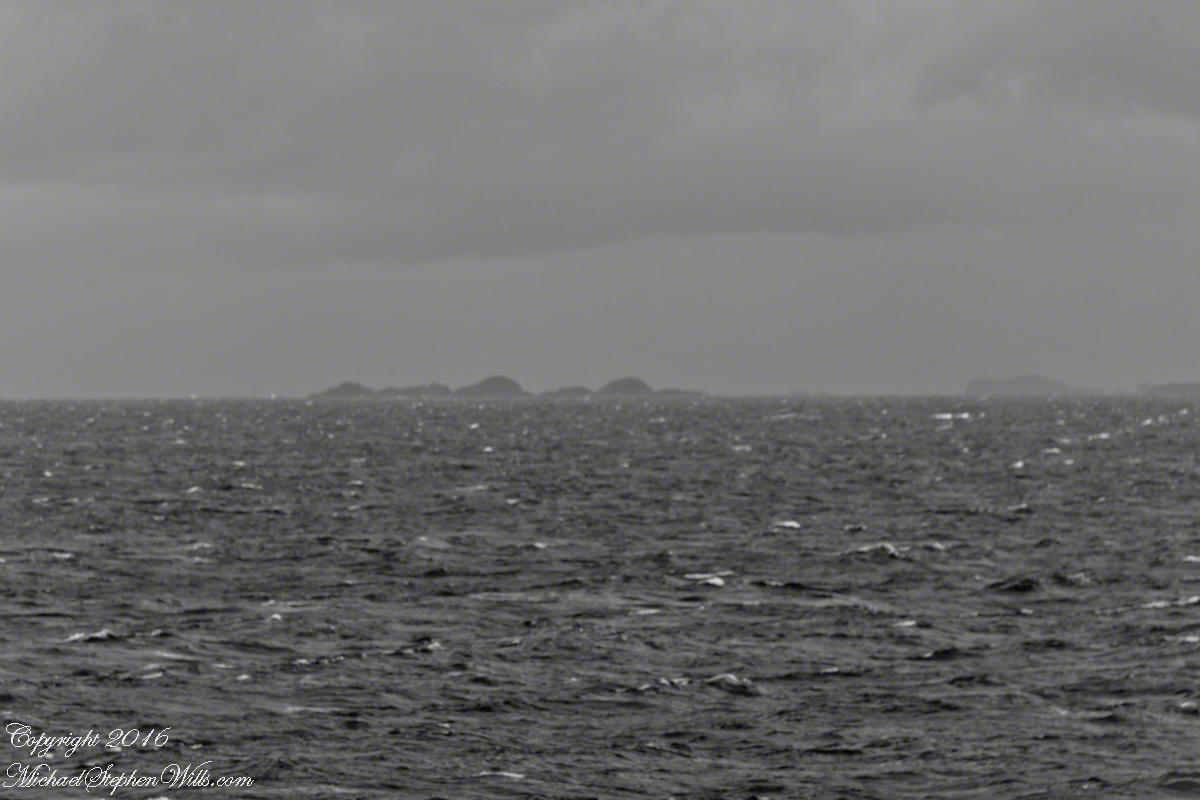
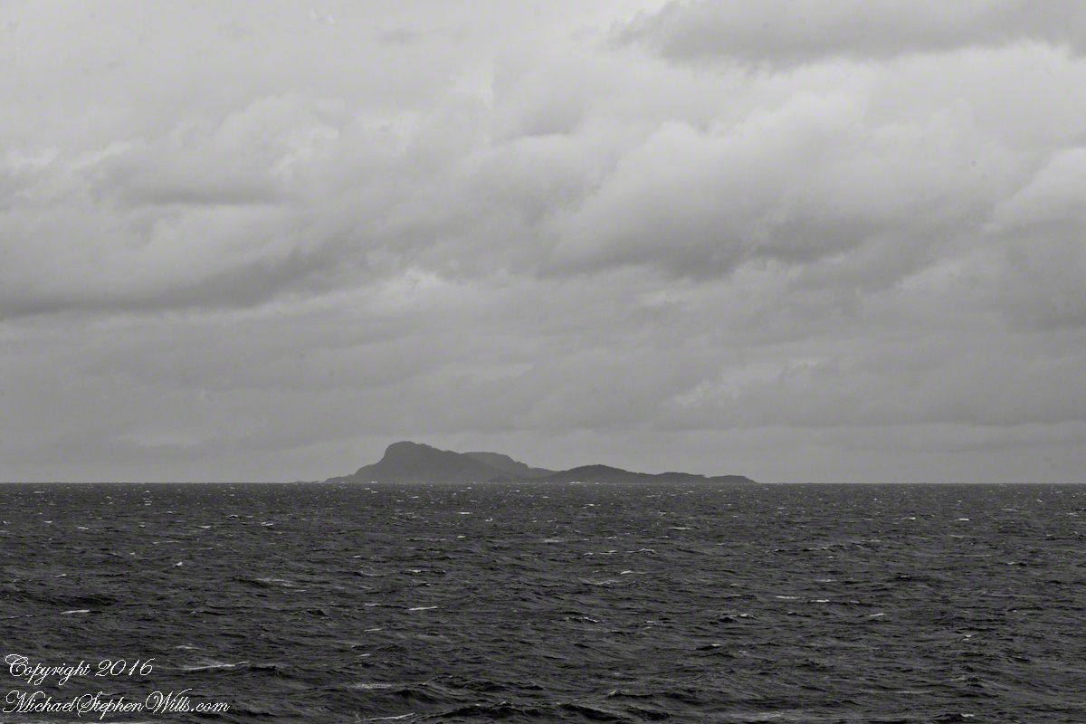
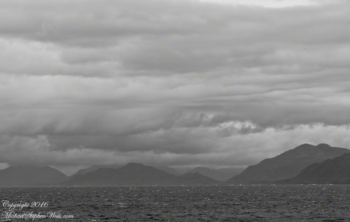
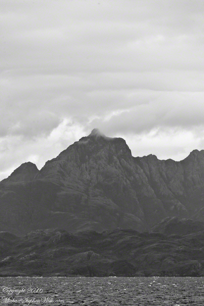
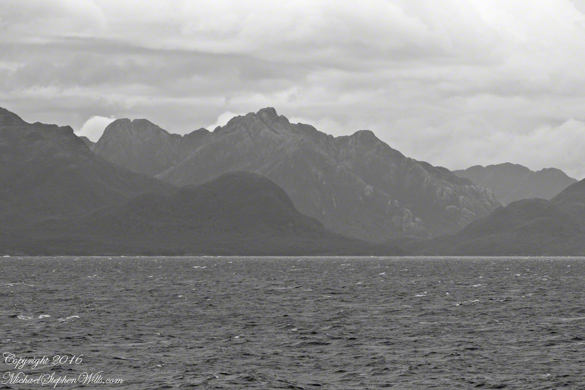
The Larenas and Fresia peninsulas of Aisen Province, Chile, on the southeastern shores of the gulf are seen here as we approach the Messier Channel. The shore is dotted with islets and islands. The Chilean pilot who came aboard at Puerto Chacobuco is earning his salary, keeping us safe. To reach the channel we pass through Tarn Bay, generally north to south. The southern margin of the bay is marked by Sombrero Island, the subject of my next blog.
Want more? Visit my on-line gallery.