Desert Stones and Ancient Walls: A Meditation on Rocks I Have Known

I have known rocks as obstacles, as shelter, and finally as memory. These ten photographs gather these moods: cliff, wall, ruin, creek-bed, boulder, altar, shadow screen, old page. They are not inert. They keep their own weather, their own grammar.

At Mesa Verde, in Montezuma County near Cortez, Colorado, there are cliff dwellings within and of the sandstone, as if a thought withheld. I am reminded those “windows” were doors, and that access to them depended on a toe-trail: a sequence of small depressions in the rock, secure only if begun with the correct hand and foot. These details stay with me, a place understood in the body. The rock was architecture, ladder, lock, and covenant.

House of Many Windows, Mesa Verde

In another photograph, the sandstone rises in immense vertical folds, scored and varnished, with ancient rooms tucked low against the wall. The scale is most moral. Human work appears small, but not trivial. A few stacked stones become a claim: we were here, we learned the wall, we lived under its patience.
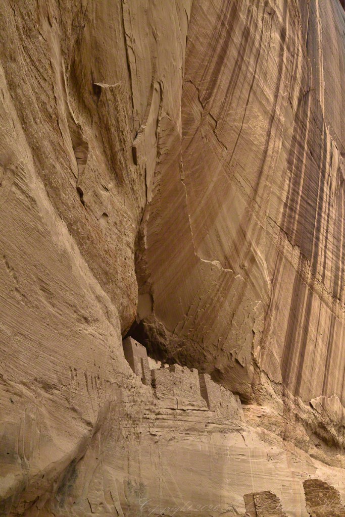
The White House, Canyon de Chelly

Elsewhere along Canyon de Chelly a different intimacy is offered as petroglyph horses move across desert varnish on red sandstone, their bodies made by removing darkness. Since horses arrived with Europeans, the image carries a date without numbers. History appears as a pale incision. The rock remembers contact, disruption, motion, and the brief confidence of riders, a page that is best read by subtraction.

Then Reavis Creek, below Reavis Falls in the eastern Superstition Wilderness, softens the meditation. A smooth pale boulder receives branch shadows. Stone becomes a screen for passing light. The marks are temporary, the surface makes them visible. I like that reversal: permanence serving the fleeting. The rock does not need the shadow, but it receives it completely.

Reavis Creek originates in the eastern Superstition Wilderness. This photograph was captured below Reavis Falls.

At Reavis Falls where water thins into veils over basalt cliff, water teaches stone the art of yielding without surrender. Nearby, boulders lie piled below the falls, carried down Reavis Creek in flood time or broken from the cliff face. They are the aftermath of force, the creek’s heavy language.
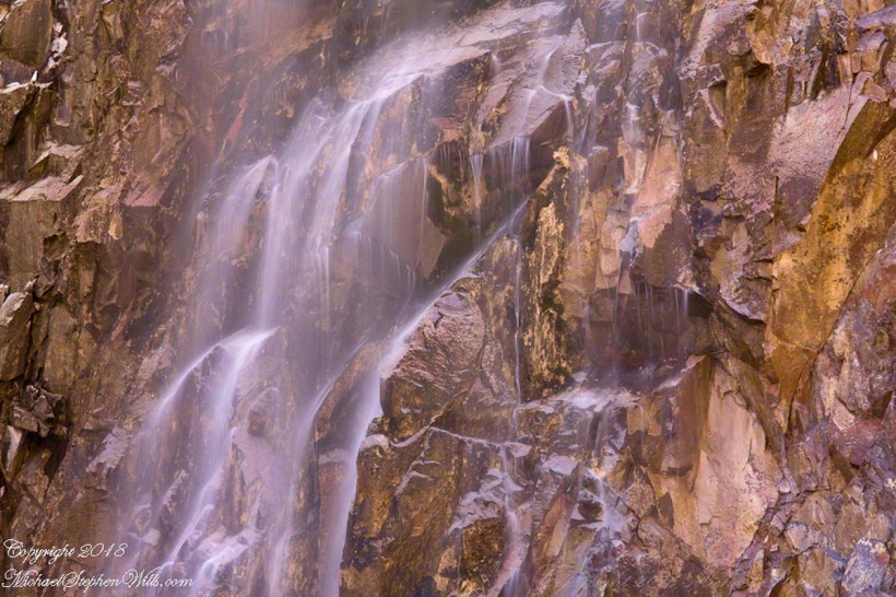
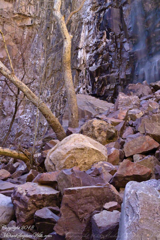
Reavis Falls is nestled in mountain ridges of the remote eastern Superstition Wilderness of Arizona. Captured during a four day solo expedition to this site visited by few people.
These are large boulders carried down Reavis Creek and washed over the falls at flood time as well as blocks fractured from the cliff face.

I rested during water gathering in East Boulder Canyon. The pool is narrow, reflective, held among pale stone. Water gathering is one of the oldest errands. In such places, thirst makes geology personal.
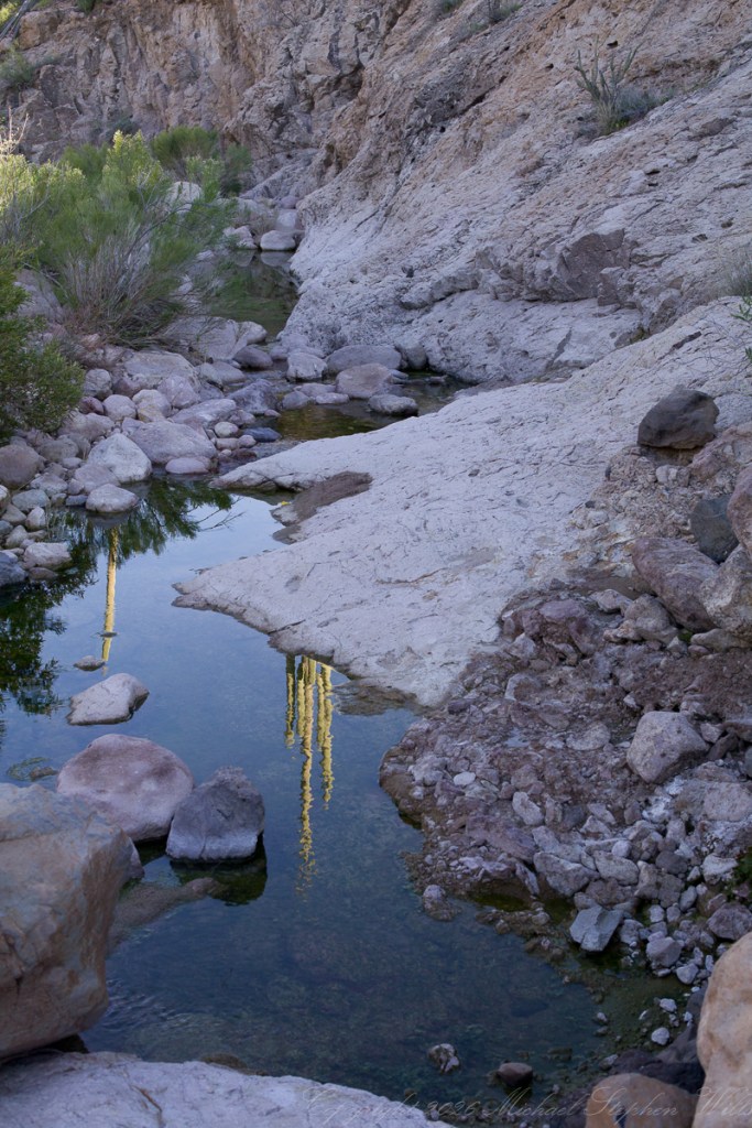
Taking a break from morning water gatheringin East Boulder Canyon near where the Peralta Trail where meets Dutchman Trail between Black Top Mesa and Palamino Mountain. Superstition Wilderness, Tonto National Forest, Arizona

The Flatiron, glowing at sunset above Lost Dutchman State Park, expands the timescale: volcanic eruptions between 20.5 and 18 million years ago, dacite lava, rhyolitic tuff, caldera collapse, uplift, differential weathering. The science does not diminish the wonder; it gives wonder a skeleton. The mountain is long-solidified fire, a flame that learned stillness.
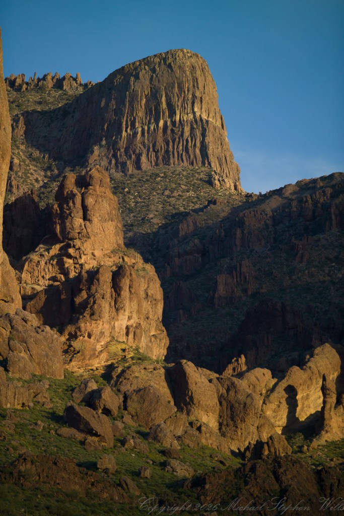
The setting sun’s glow on the end point of Upper Siphon Draw trail, The Flatiron. The mountain was formed by a series of volcanic eruptions between 20.5 and 18 million years ago. The west face of the mountain is composed of dacite lava and rhyolitic tuff. The overlying tuff was deposited during an eruption which created a collapse caldera bounded by faults. Dome resurgence reactivated these faults, causing uplift of the caldera floor which juxtaposed the softer tuff and more resistant dacite. Differential weathering caused the outer tuff to erode faster, leaving the dacite cliffs exposed and creating the prominent mountain visible today. The Flatiron, the mesa-like projection above us in this view, is long solidified dacite lava. The word dacite comes from Dacia, a province of the Roman Empire which lay between the Danube River and Carpathian Mountains (now modern Romania and Moldova) where the rock was first described. Lost Dutchman State Park, Apache Junction, Maricopa County, Arizona

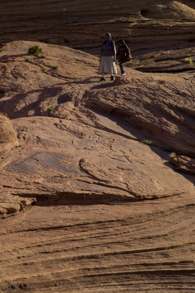
These hikers on red slickrock seem almost ceremonial, crossing a surface grooved by time and runoff. They stand small, not diminished but correctly sized. That may be one gift of rocks: they return us to proportion.
And finally Canyon de Chelly again, the risen gibbous moon beside the red southern canyon wall on the trail to White House. Moon, cliff, brush, evening light: all of it held in a copper quiet. After so many stones, the moon is a far away, familiar rock.

The risen gibbon moon against the red rock of the southern canyon wall from the trail to the White House, Canyon de Chelly National Monument.

Rocks I have known have not answered me, exactly. They have done something better. They have outlasted my questions until the questions changed.
Click me to visit Michael Stephen Wills Online Arizona Gallery.

Enter your email to receive notification of future postings. I will not sell or share your email address.

Guns Galore – repost

What an absolutely fascinating and vividly told account, Johnny! The idea of children scavenging for ‘souvenirs’ of war from railway wagons feels almost surreal, yet so fitting for the era—resourcefulness and imagination thriving even in the shadows of conflict. Your storytelling transports us straight into that post-war world, where echoes of history weren’t just studied, but held in the hands of schoolboys. I can only imagine the shock on the teacher’s face! A truly remarkable piece—thank you for bringing this lost slice of history to light.

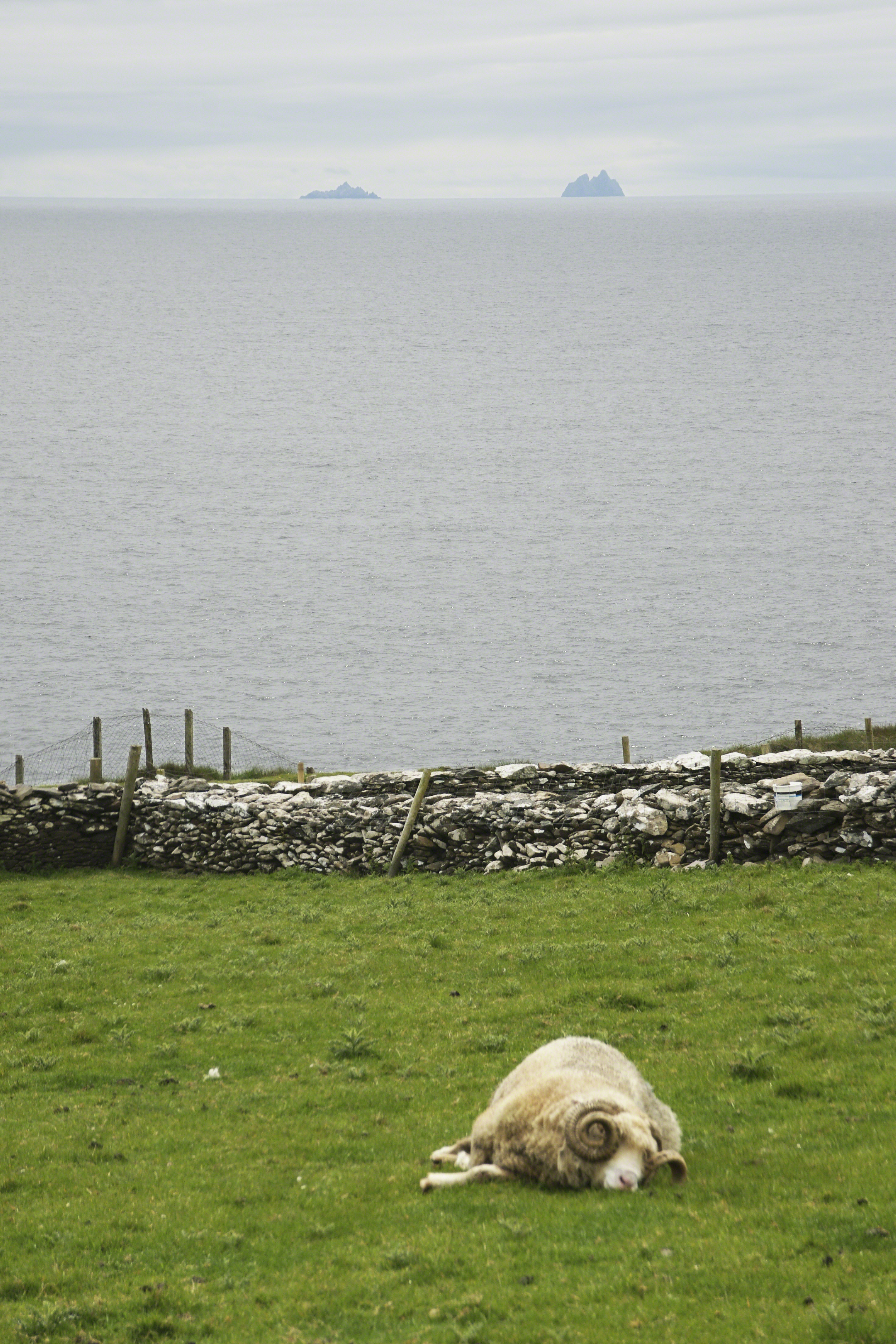
Asleep among Skelligs

a road like no other

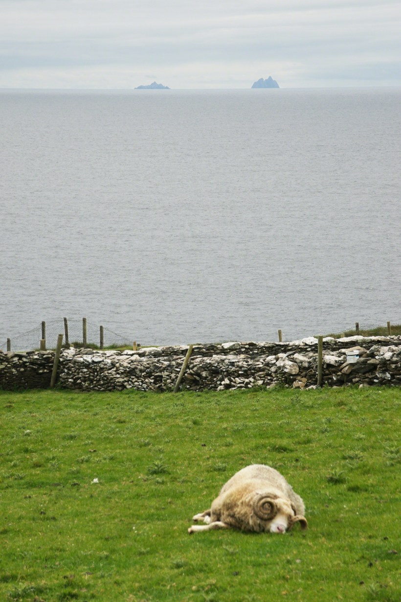
View southwest from R559 looking across pasture over the Dunberg Promontory Fort. In the foreground a large ram with curled horns rests. In the distance is the mouth of Dingle Bay and the North Atlantic Ocean with the Little Skellig and Skellig Michael Islands.

Skellig is a word for a sliver of rock. Here is another post about these islands.

Click photograph for an expanded view. To visit from WordPress Reader, you need to first click the title of this post to open a new page.

Copyright 2024 All Rights Reserved Michael Stephen Wills

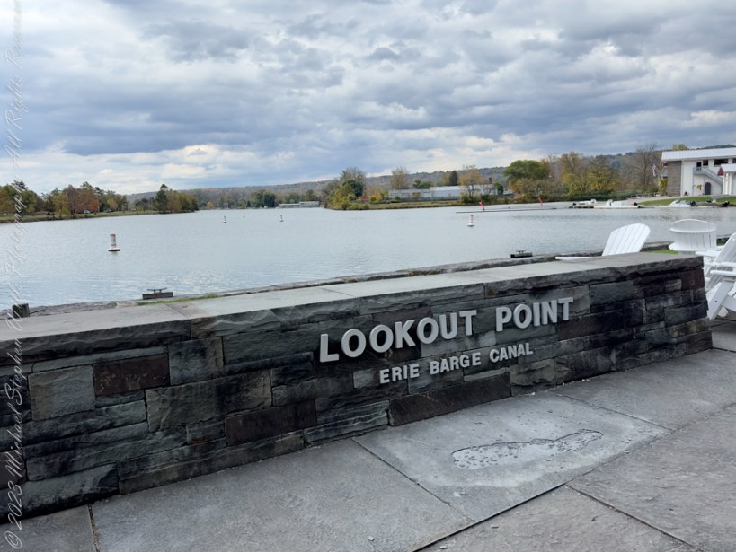
Lookout Point, Ithaca, New York

The Erie Barge Canal significantly influenced New York’s history, particularly impacting Cayuga Lake and Ithaca. The canal, which extended to the Cayuga-Seneca canal, transformed Ithaca into a prosperous community due to shipping and salt production industries. Today, despite its shift from industrial uses to a leisure and educational haven, the canal’s cultural and economic legacy remains indelible on the town and lake.

Continue reading “Lookout Point, Ithaca, New York”

Hands of Frogs and the Innocence of Babies

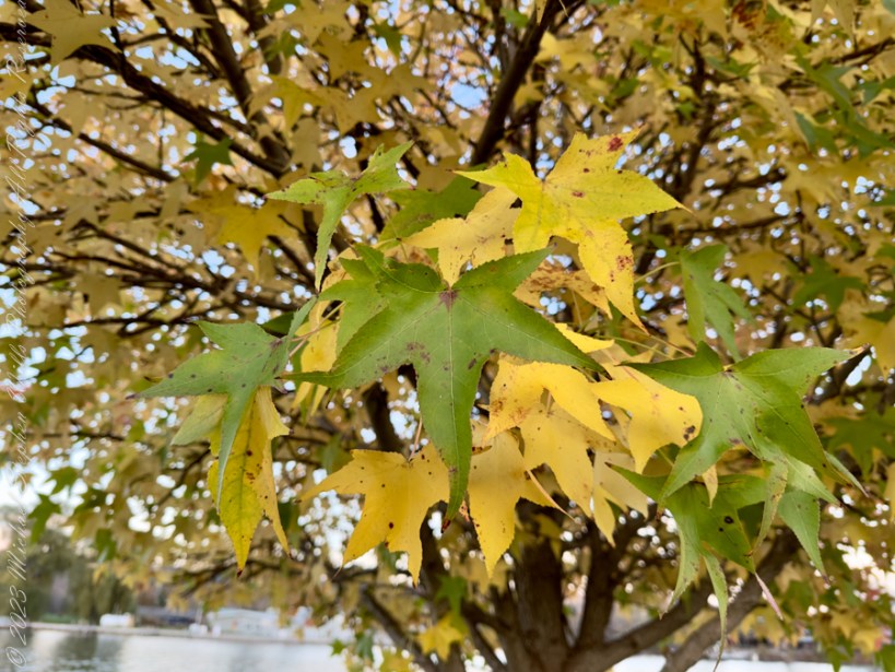
Autumn leaves whisper,
By the calm inlet they dance,
Maple’s red embrace,
History in every branch,
Nature’s heart in silent chant.

Continue reading “Hands of Frogs and the Innocence of Babies”

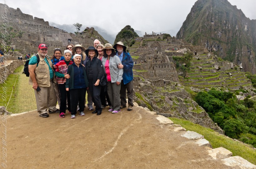
Machu Picchu overview

Our February 2016 travel group poses at the overlook.

Click Me for my Online Gallery

Machu Picchu was believed (by Richard L. Burger, professor of anthropology at Yale University) to have been built in the 1450s. However, a 2021 study led by Burger used radiocarbon dating to reveal that Machu Picchu may have been occupied from around 1420–1530 AD.[24][25] Construction appears to date from two great Inca rulers, Pachacutec Inca Yupanqui (1438–1471) and Túpac Inca Yupanqui (1472–1493). There is a consensus among archaeologists that Pachacutec ordered the construction of the royal estate for his use as a retreat, most likely after a successful military campaign. Although Machu Picchu is a “royal” estate, it would not have been passed down in the line of succession. Rather it was used for 80 years before being abandoned, seemingly because of the Spanish conquests in other parts of the Inca Empire. It is possible that most of its inhabitants died from smallpox introduced by travelers before the Spanish conquistadors arrived in the area.

Click Me for the next post in this series.

Reference: “Machu Picchu” Wikipedia

Copyright 2023 Michael Stephen Wills All Rights Reserved

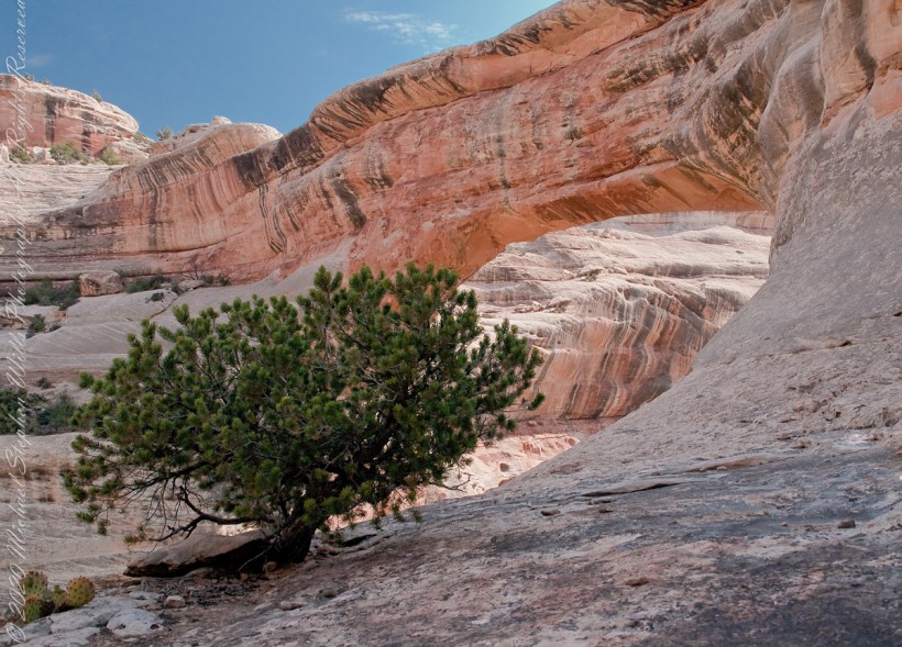
Utah Juniper at Sipapu Bridge

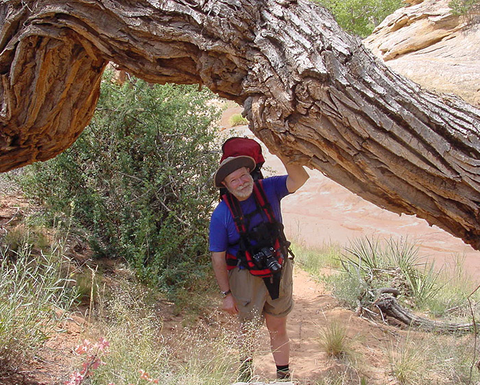
Mike Wills at Sipapu Bridge Photo by Pam Wills

UNIQUE

Here is a unique tree in the unworldly environment near Sipapu Bridge, Natural Bridges National Monument.  I am looking from under a huge Cottonwood tree trunk, in the above photography taken by my wife Pam.

THIS TREE

This tree is an older specimen of the Utah Juniper featured with my fine art print of Sipapu Bridge (click any pic in this posting to view).  Also known as Shag Bark juniper for the thin peices that separate from the trunk.  These tress can live to over 600 years and, like this example, are photogenic.

Utah Junipers are found throughout the American Southwest, here growing near Sipapu Bridge of Natural Bridges National Monument, Blanding, Urah

It is a common species through Utah, being found most often at elevations above sagebrush/grass and below pinyon pine (4,000 to 7,500 feet).  As the environment changes with the presence of people and changing climate, this juniper is becoming more common.  Nearly 1/5th the land of Utah is covered by Utah Juniper.

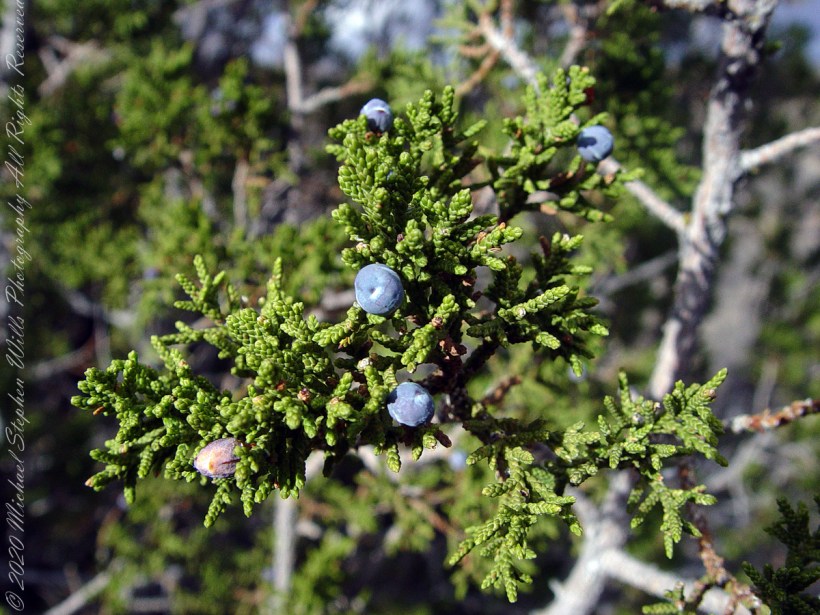
Macro of the leaves and berries of the One Seed Juniper taken near Kachina Point of the Petrified Forest National Park near Holbrook, Arizona

USES!!

Not shown here are the fascinating (for me, anyway) berries (also called “cones” or “berry-cones”).  Each contains seeds, is hard and green, about a quarter inch across.  If you are brave enough to eat it, you find it to have a pleasant, resinous flavor (a taste like the aroma of pine cones).  These seeds are the manner in which the Utah Juniper spreads.  The tree has both male and female parts and can fertilize itself, so it is possible an isolated stand can all spring from a single individual (unlike humans, for example).

Native Americans consume the berries and the wood, being highly decay resistant, is commonly used for fence posts and other applications exposed to the elements.

Juniper berries are eaten by jackrabbits, foxes and coyotes.  Many bird species rely on this abundant fruit for fall and winter food.  Mule deer will each the scaly leaves when other food is scarce, for example when the winter snows are very deep.

Copyright 2023 Michael Stephen Wills All Rights Reserved

Pinelands Connections I

Geneology and DNA

“From the fire tower on Bear Swamp Hill, in Washington Township, Burlington County, New Jersey, the view usually extends about twelve miles. To the north, forest land reaches to the horizon. The trees are mainly oaks and pines, and the pine predominate. Occasionally, there are long, dark, serrated stands of Atlantic white cedars, so tall and so closely set that they seem spread against the sky on the ridges of hills, when in fact they grow along streams that flow through the forest. To the east, the view is similar, and few people who are not native to the region can discern essential differences from the high cabin of the fire tower, even though one difference is that huge areas out in this direction are covered with dwarf forests, where a man can stand among the trees and see for miles over their uppermost branches. To the south, the view is twice broken slightly — by a lake and by a cranberry bog — both otherwise it, too, goes to the horizon in forest. To the west, pines, oaks, and cedars continue all the way, and the western horizon includes the summit of another hill — Apple Pie Hill — and the outline of another fire tower, from which the view three hundred and sixty degrees around is virtually the same as the view from Bear Swamp Hill, where, in a moment’s sweeping glance, a person can see hundreds of square miles of wilderness. The picture of New Jersey that most people hold in their minds is so different from this one that, considered beside it, the Pine Barrens, as they are called, become as incongruous as they are beautiful.” From The New Yorker magazine, November 26, 1967, “Profiles, The Pine Barrens I” creative non-fiction by the great John McPhee.

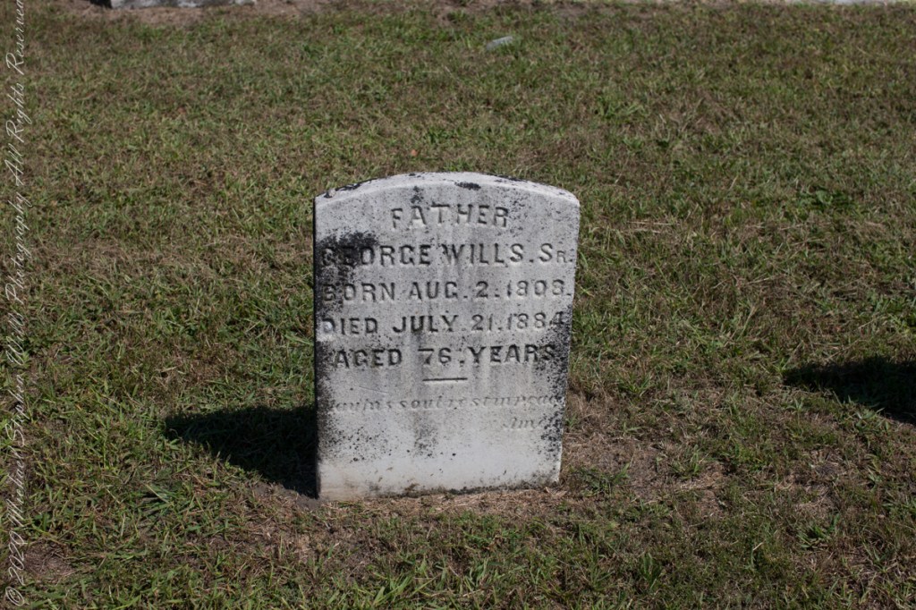
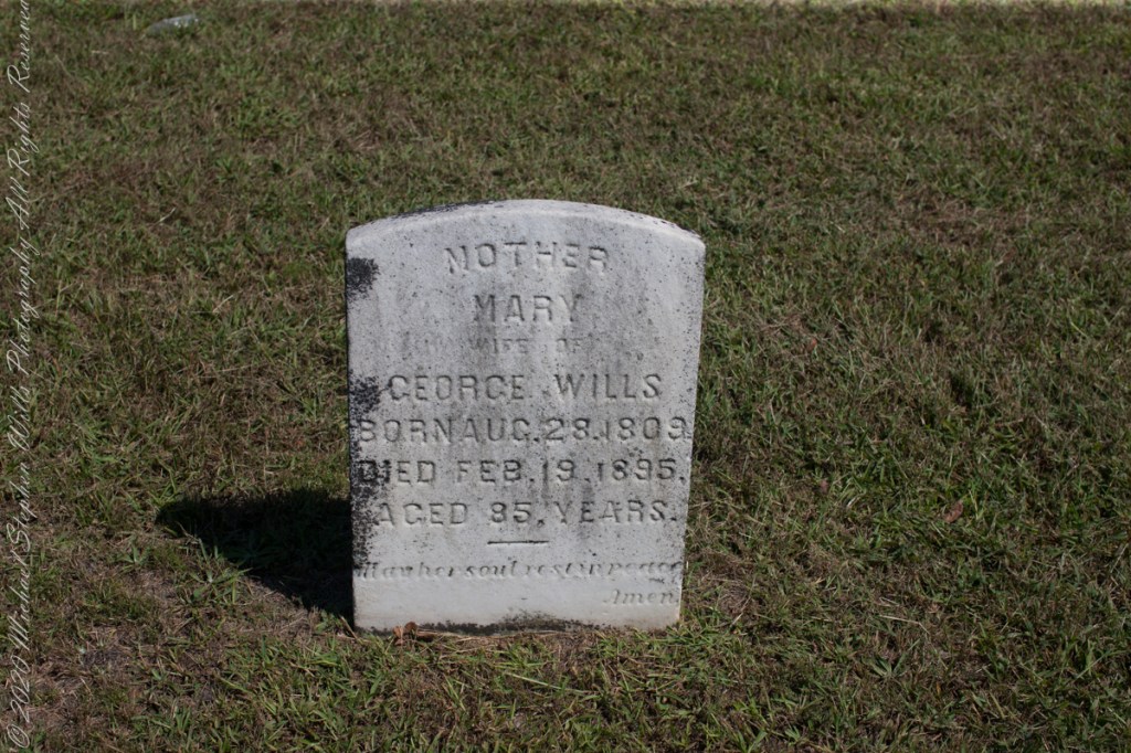
This quote captures the contours of a place, now known as “The Pinelands,” a corner of Burlington County, New Jersey my English, Irish, Scottish ancestors settled from 1677 until my grandfather, James Edward Wills, left for northern New Jersey, Asbury Park, in the first years of the twentieth century. This past decade, more so since retirement 2017, I’ve explored these two hundred and twenty (220) or so years beginning with amorphous asides over the years from my father and second hand through my sisters then through online research via Ancestry.com (Ancestry) and other searches.

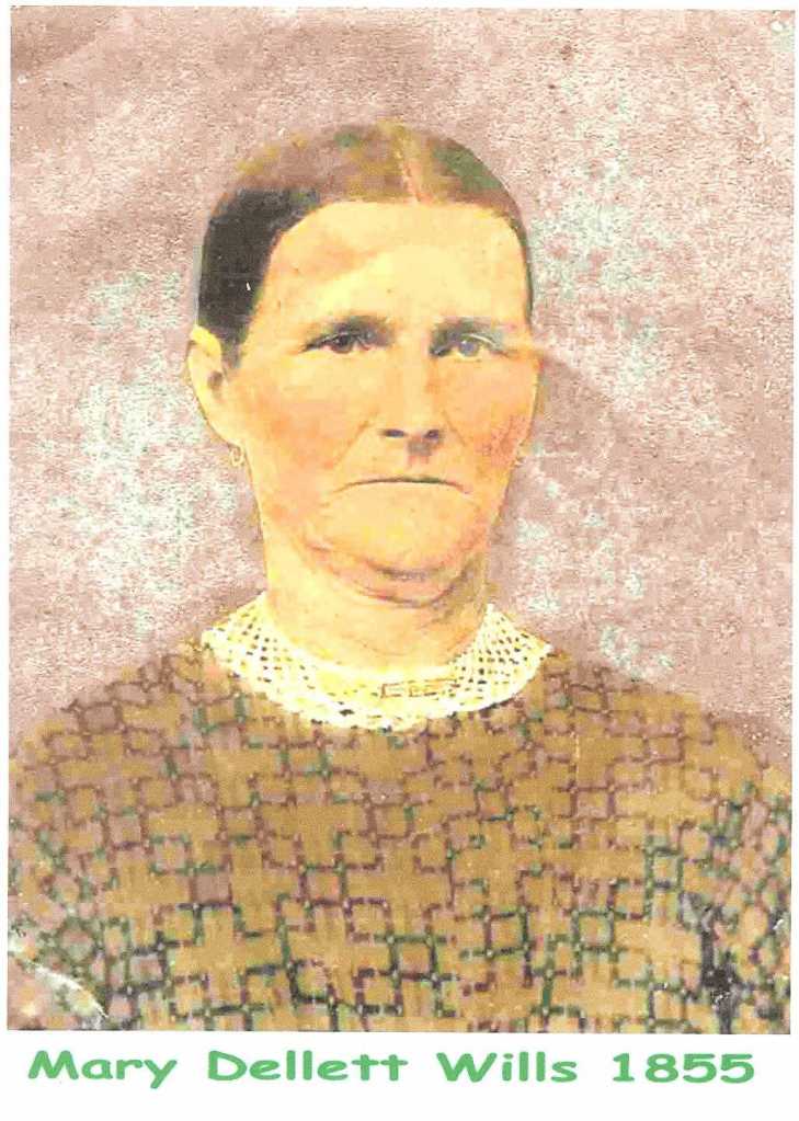
From my father and sisters I knew to search southern New Jersey. The United States decennial census, “thank you Constitution,” listed a George and Margaret Wills with my grandfather among their children. Great Grandfather George Wills was listed as a 14 year old child of George and Mary Wills in the 1850 census. How could I be sure? DNA technology with internet based social interaction helped there. I was contacted by a Dellett descendant, identified by DNA as a fourth cousin, who claimed Mary Wills as a double great aunt, the daughter of James and Ann Dellett. Here is a screen capture of an Ancestry “ThruLines” analysis showing the six living ancestors of James and Ann in the database. I removed the names and photos of the other five to preserve privacy. The DNA fourth cousin relationship was an exact match to the family tree.

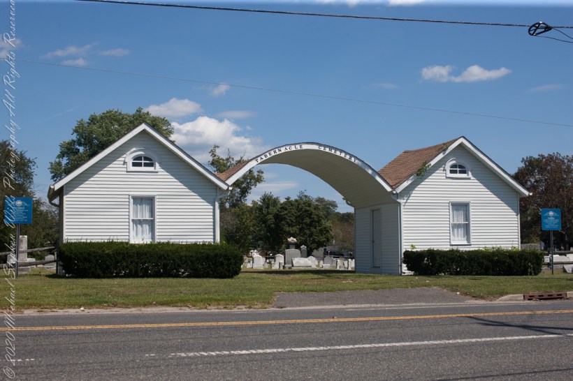
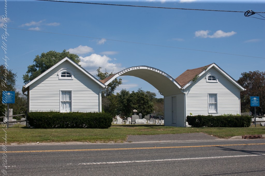
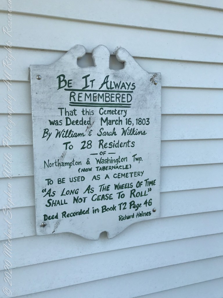
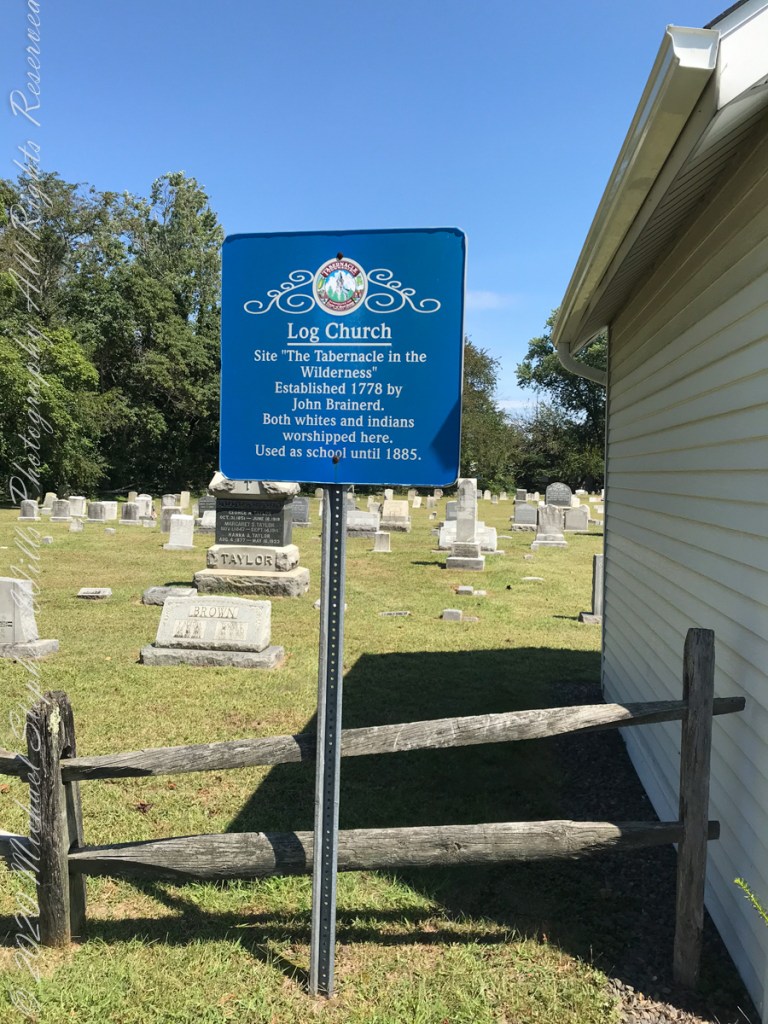
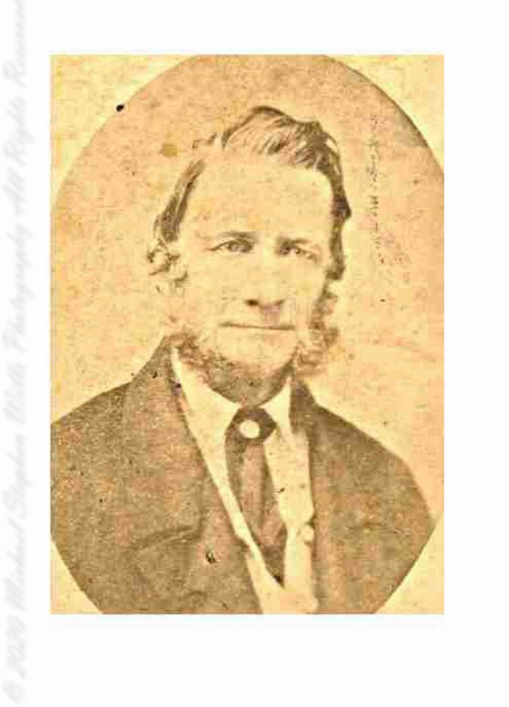
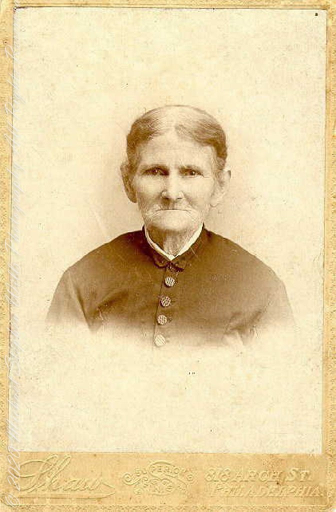
Cousin Delette provided antique photographs of George and Mary. I did a “FindAGrave” search, their final resting place is in a place named Tabernacle, Burlington County, New Jersey. September 2019 my wife Pam and I did a weekend tour with a bed and breakfast base in the city of Burlington, New Jersey. The rest of the photos in the following slideshow are from that weekend.

Here is the same Ancestry “ThruLines” analysis with the immediate family links exploded. through my “first cousin 1 time removed” I was able to communicate with a “lost” niece of my father who shared reminiscences of him from the time he was just released from World War II Naval Service, before meeting Mom.
….Click me for Pineland Connections II.

Copyright 2023 Michael Stephen Wills All Rights Reserved

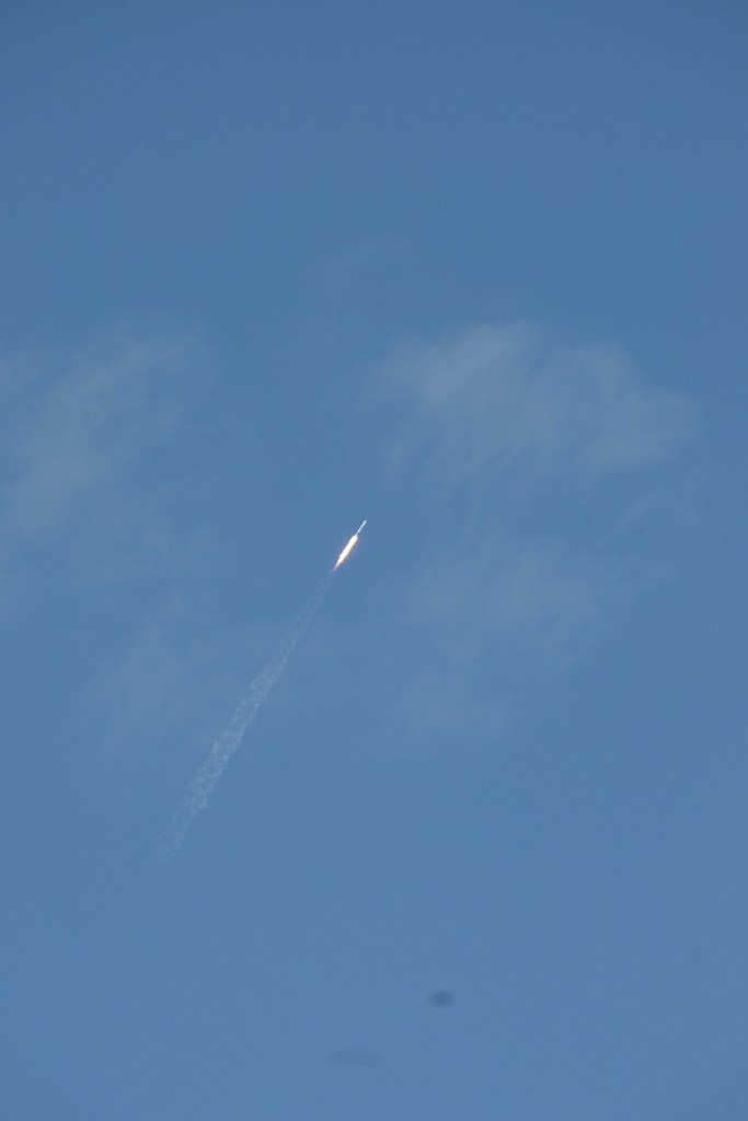
Falcon 9 rocket puts satellite into orbit for Luxembourg

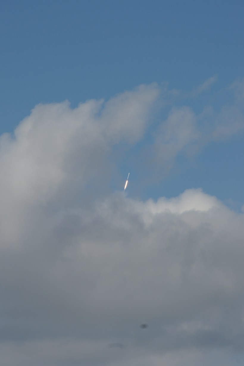
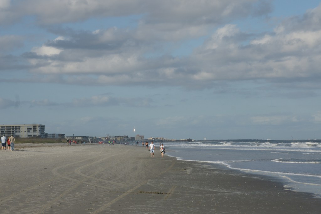
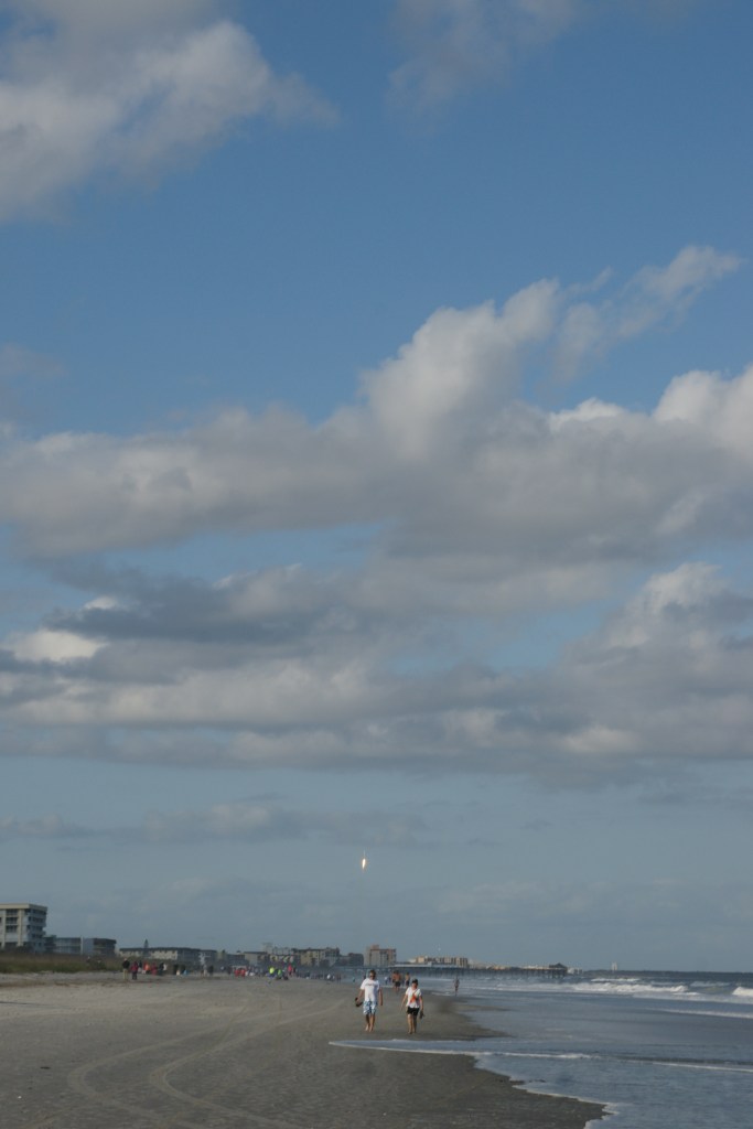
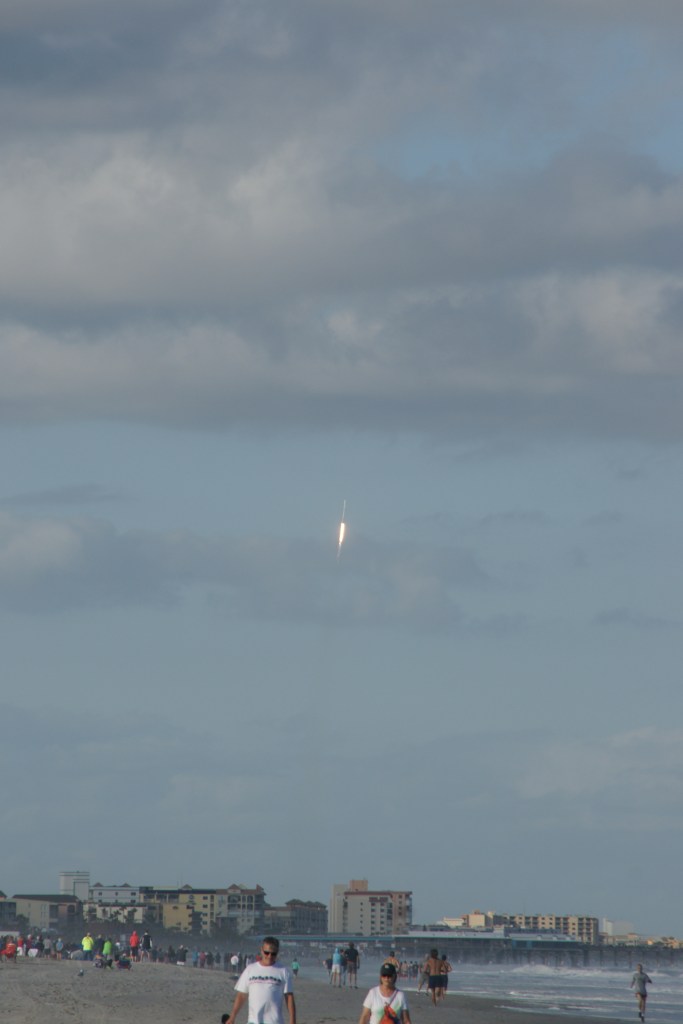
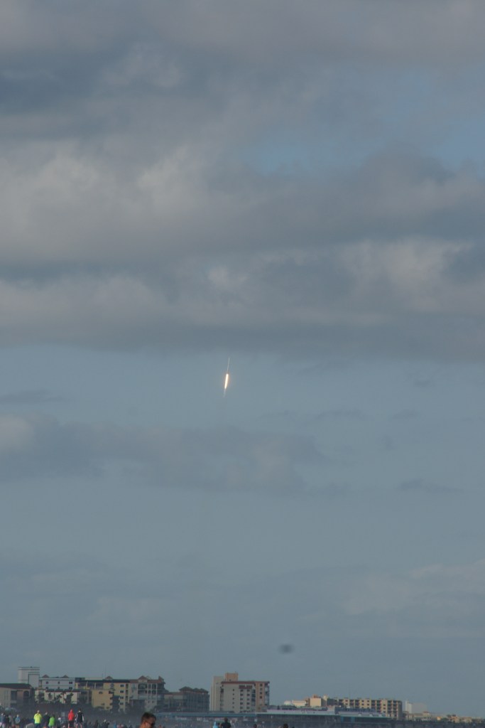
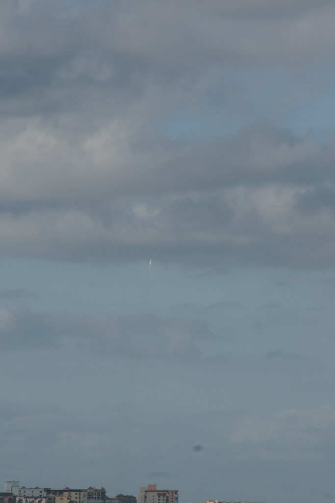
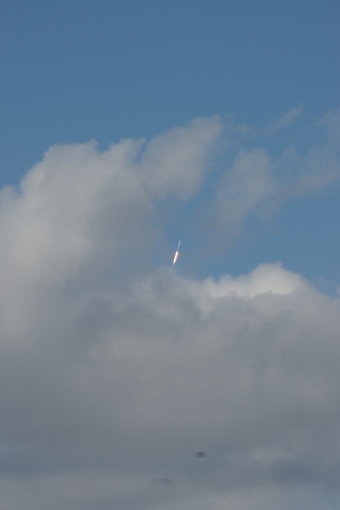
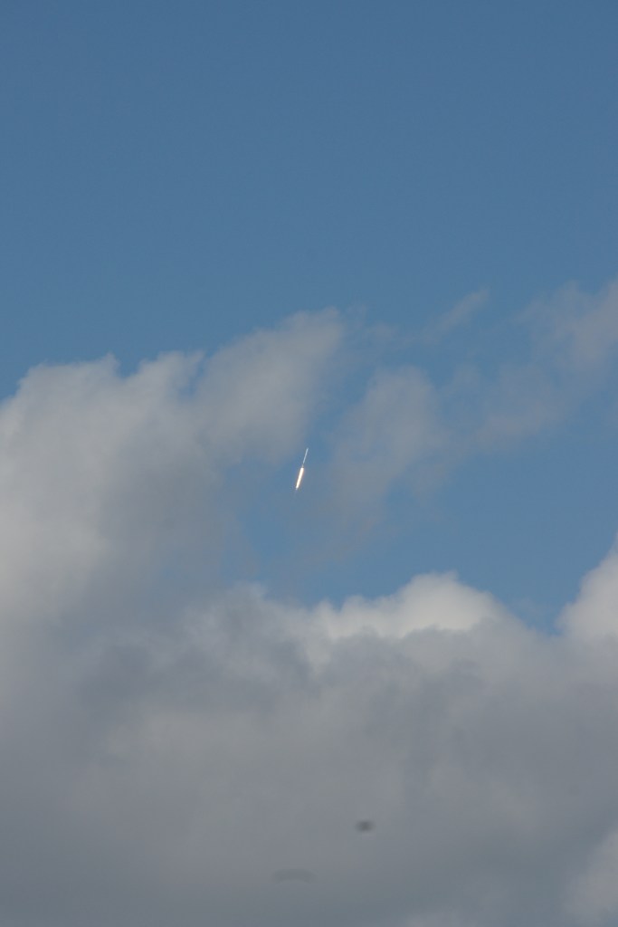
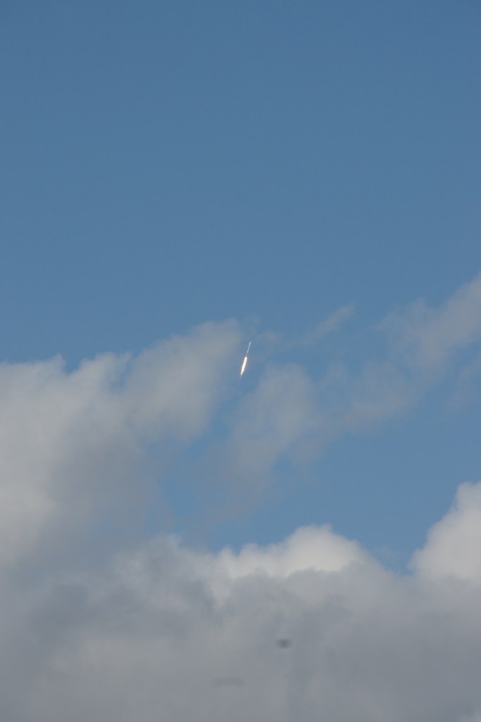
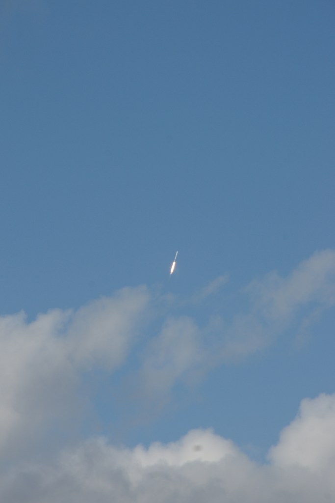
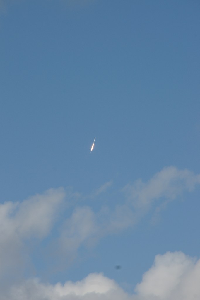
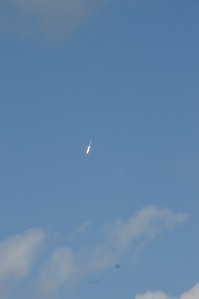
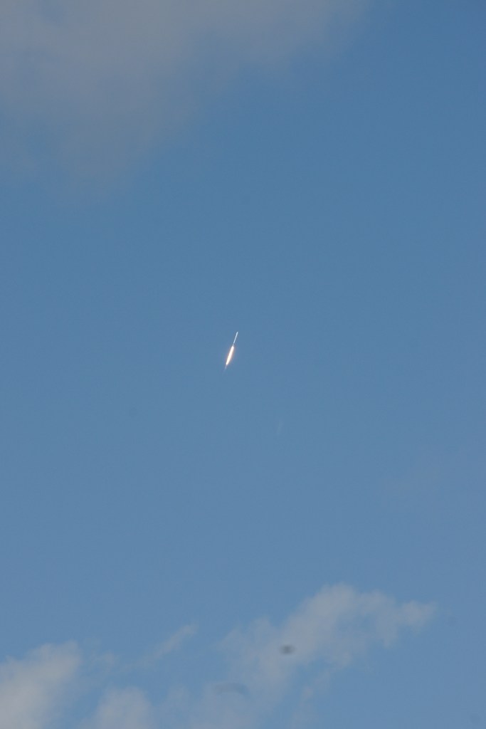
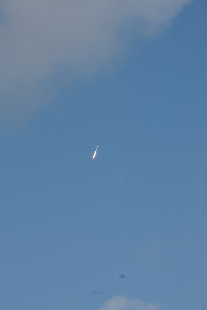
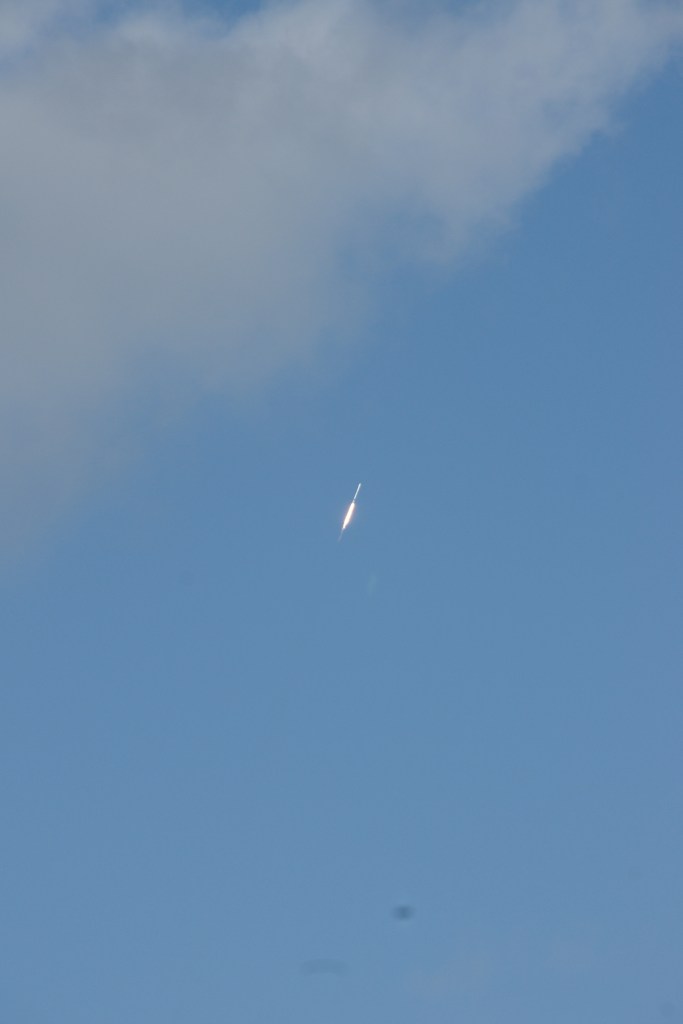
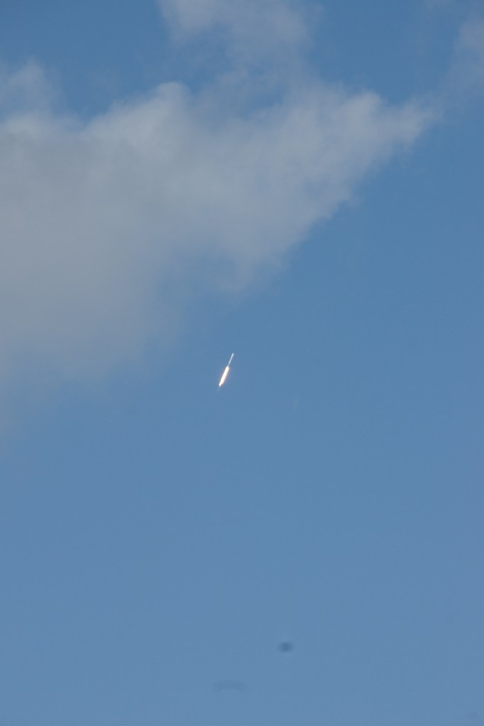
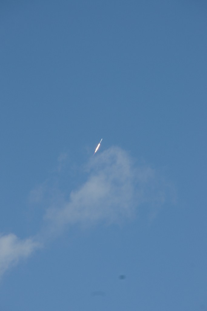
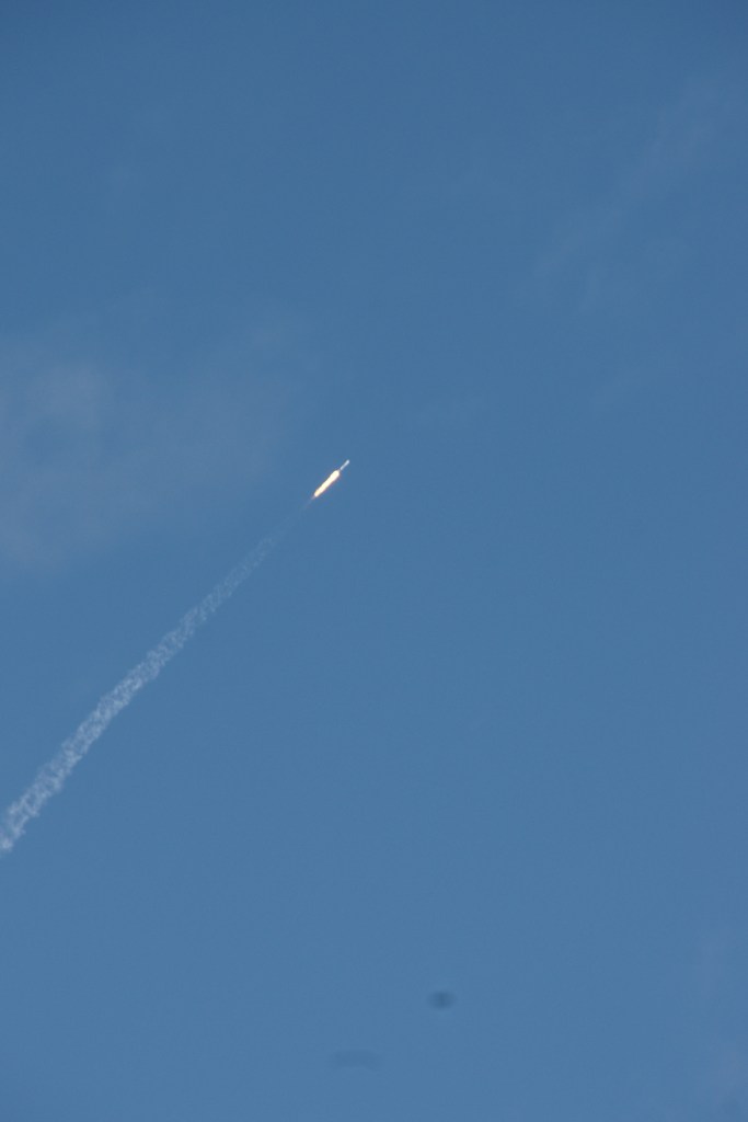
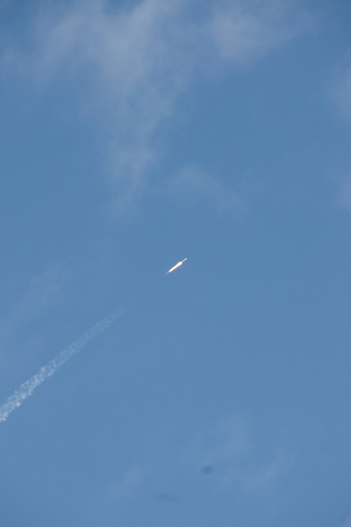
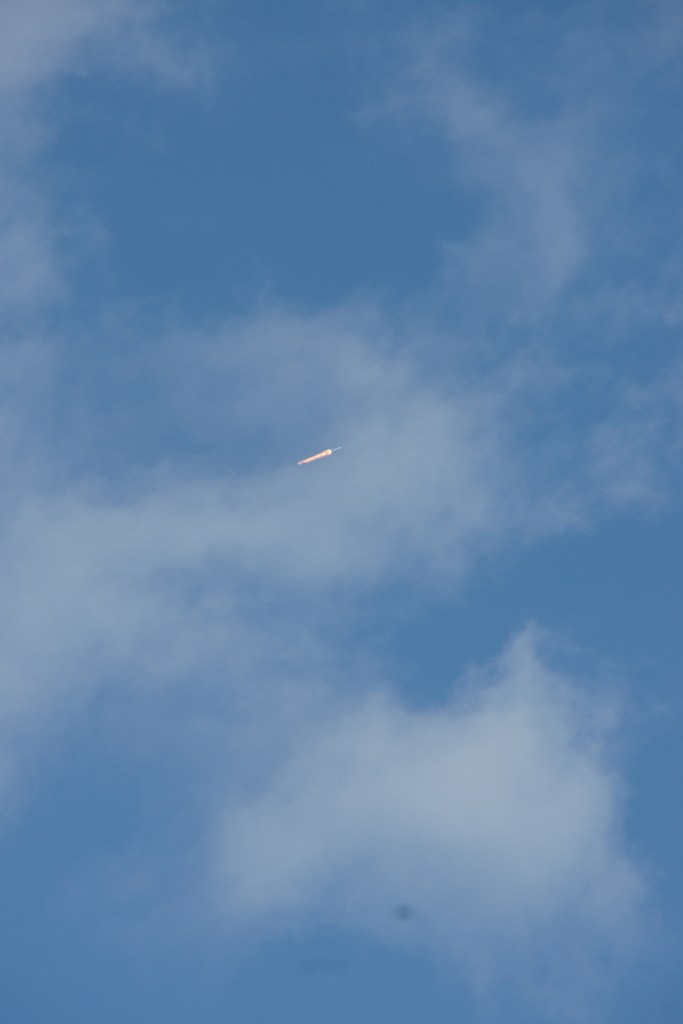
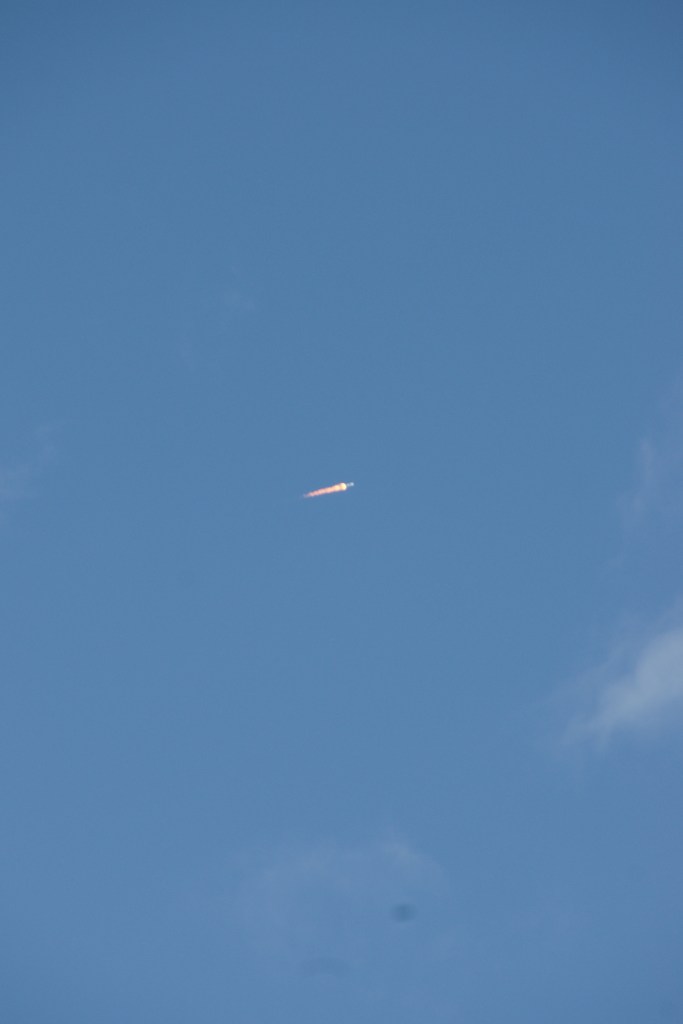
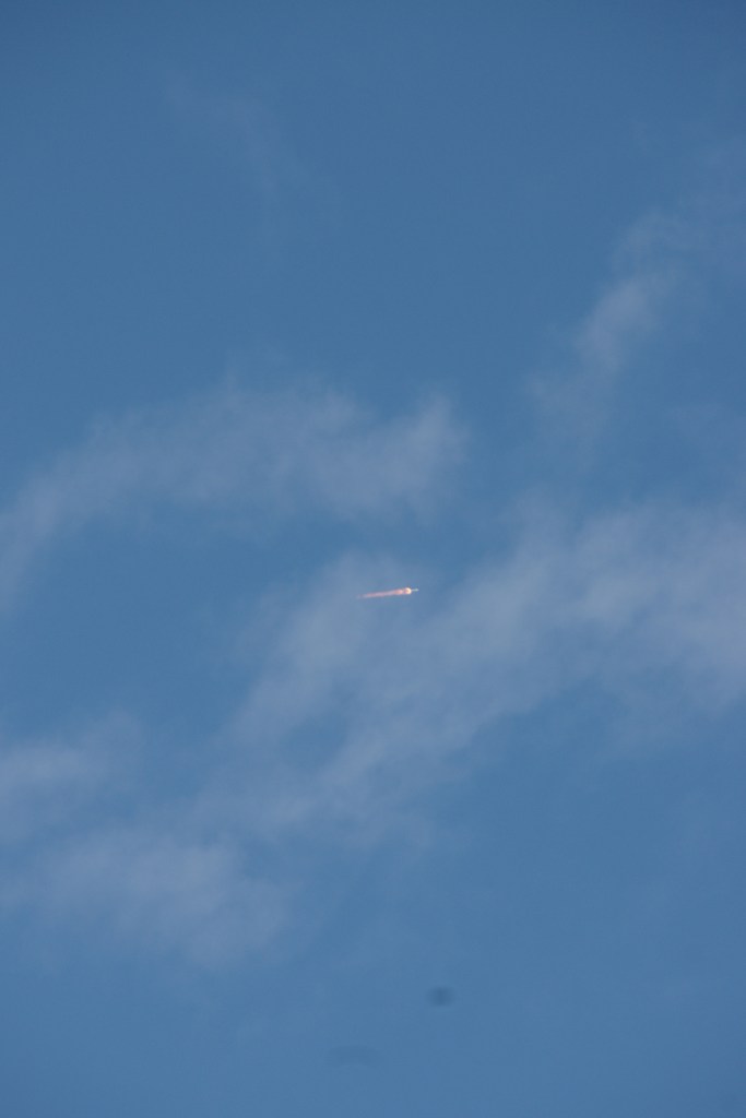
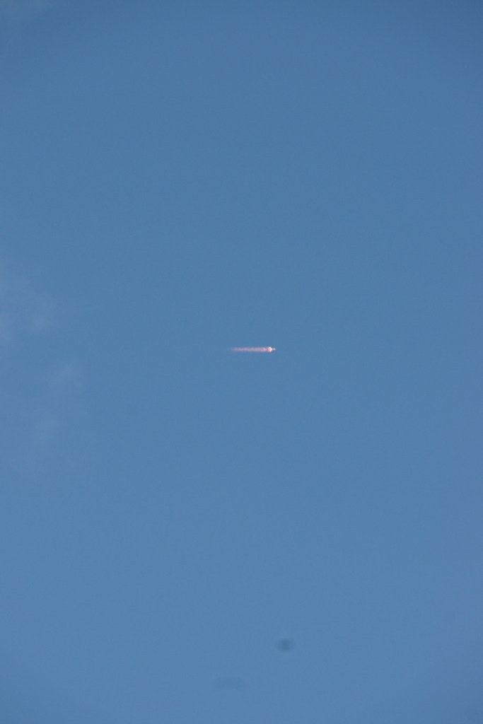
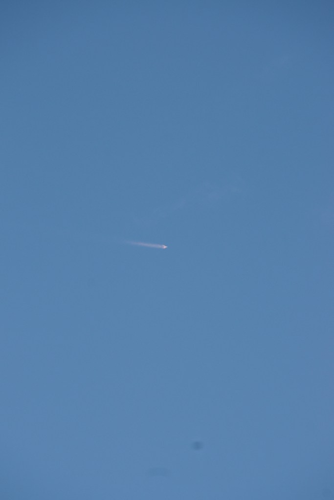
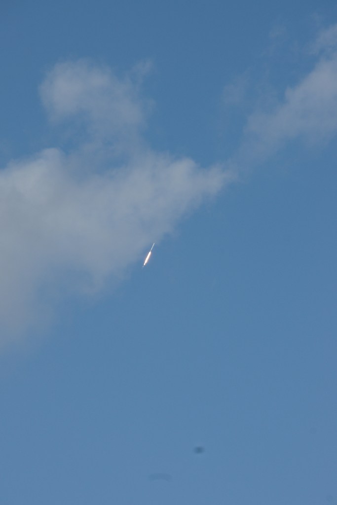
Here is a series of photographs of the January 31, 2018 SpaceX launch of a Falcon9 bearing a Govsat1 (aka SES-16) satellite for Luxembourg.  The re-used Falcon 9 was in expendable mode. The photographs, taken from Cocoa Beach, Florida show the rocket rising above the city and port of Cape Canaveral, through cumulous clouds and into space.

There are the unedited “jpeg” files from the series. I need to crop out the dust spots and such.

Click for complete mission details.

Copyright 2022 Michael Stephen Wills All Rights Reserved