Moonrise
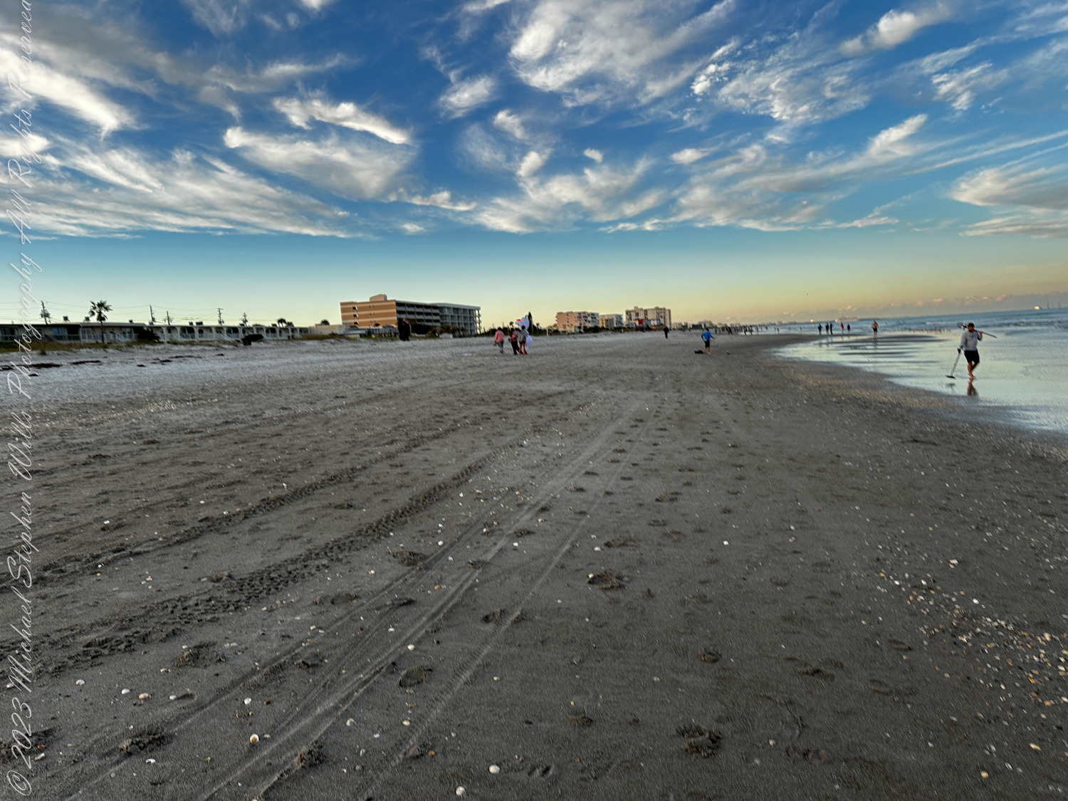
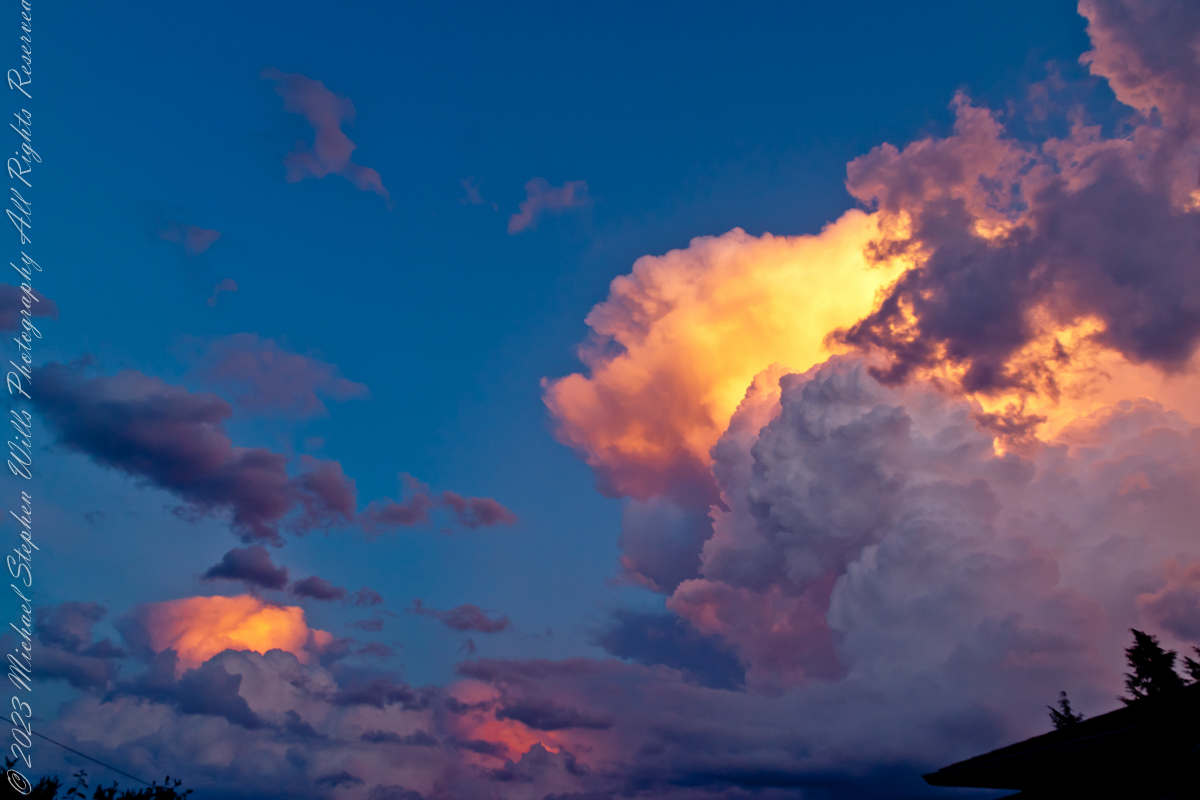
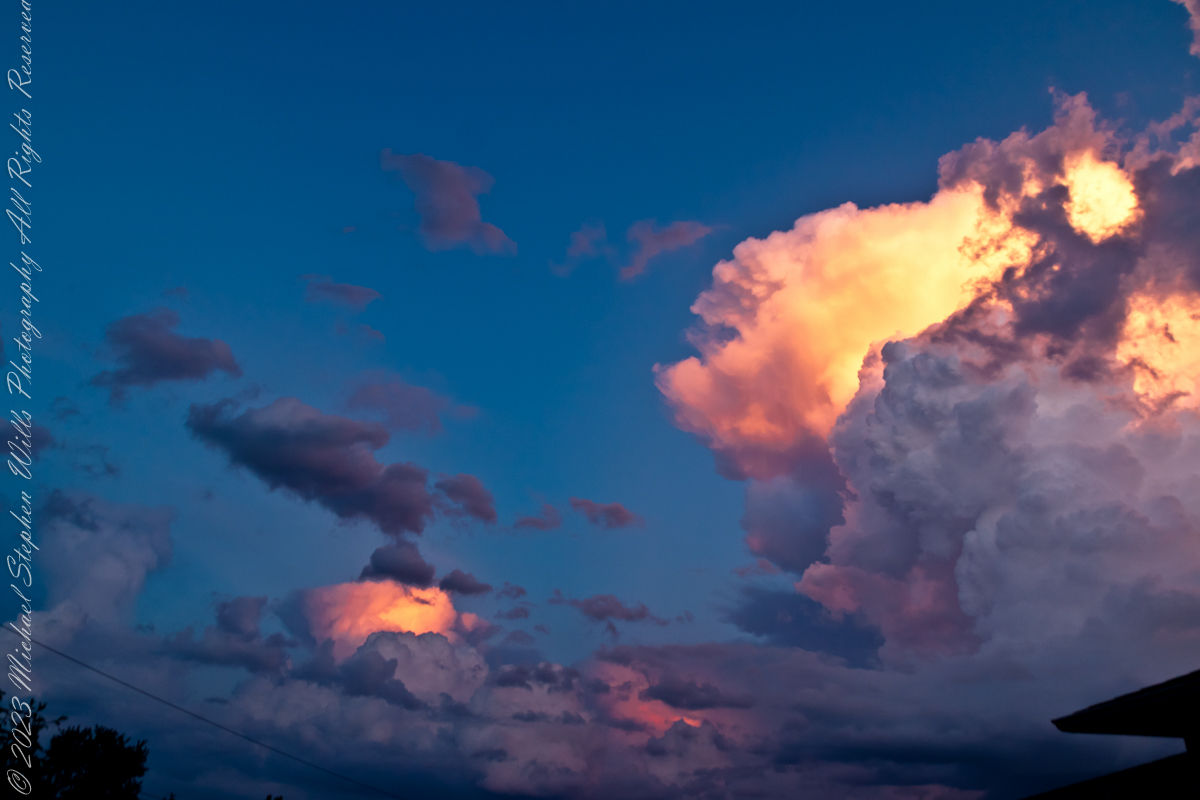
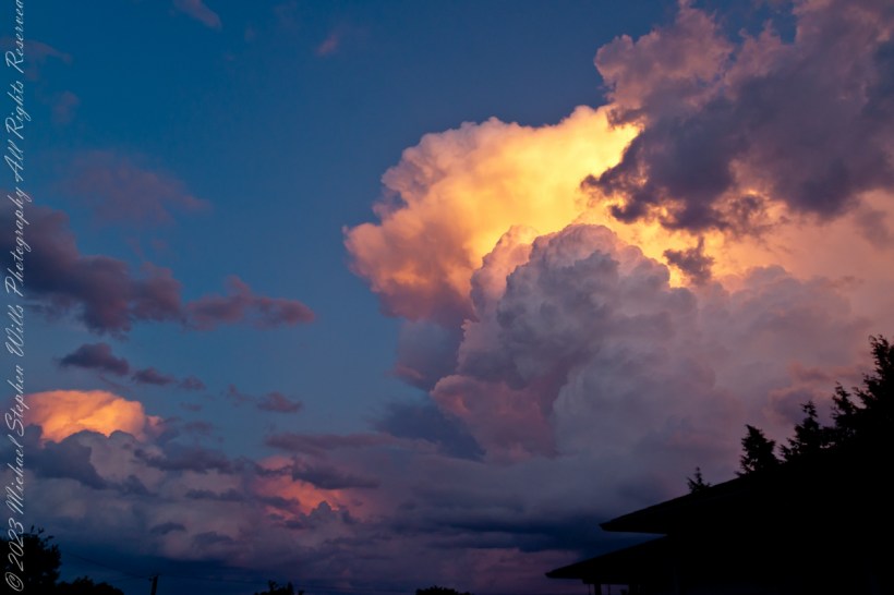
On certain evenings we gather on our Cocoa Beach, Florida east-facing beach-side balcony simply to watch the day undo itself—sunset staining the western sky while, behind us, something quieter begins. On Sunday, January 20, 2019, the quiet had a name: a total lunar eclipse. I’d checked the online charts earlier—moonrise time, azimuth, the patient geometry of the heavens laid out in numbers—and set our chairs faced the anticipated spectacle.

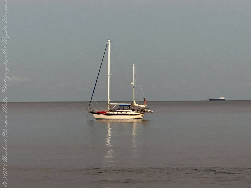
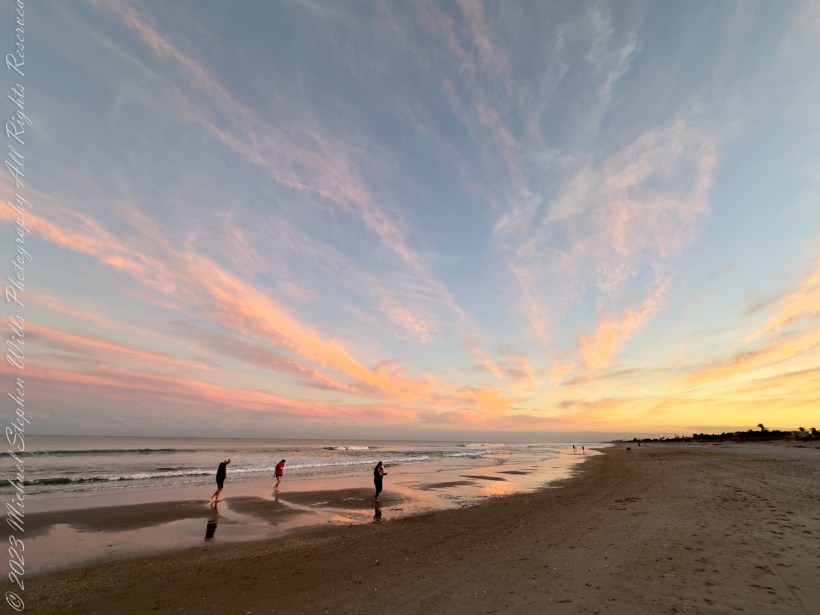
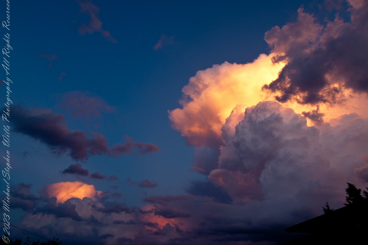
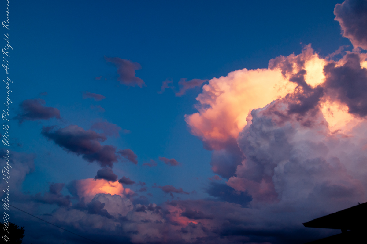
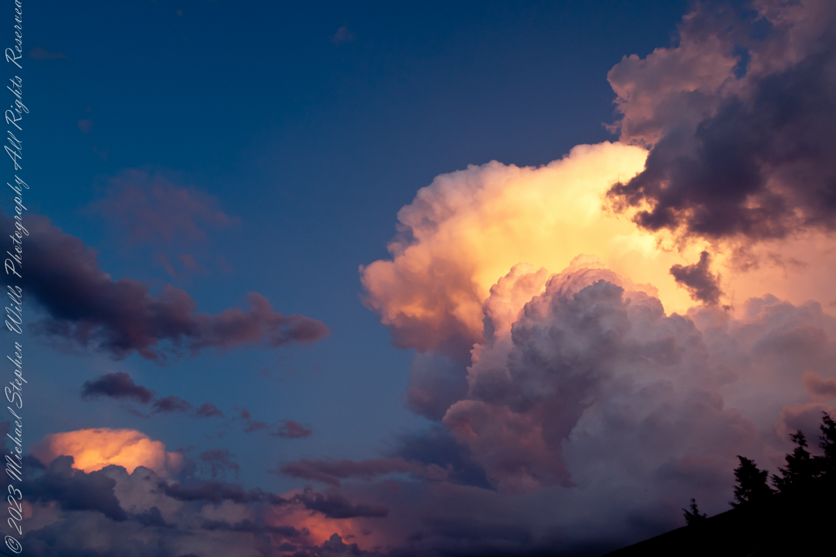
The light went a little pewter, as it does when the sun slides offstage and the world inhales. Out on the water a cruise ship shouldered south, a floating city of windows that, under ordinary sunsets, catch fire pane by pane. I looked up too late for the blaze and felt that small pang one gets for the thing almost seen. Still, the ship kept gliding, a bright punctuation mark traveling our skyline.

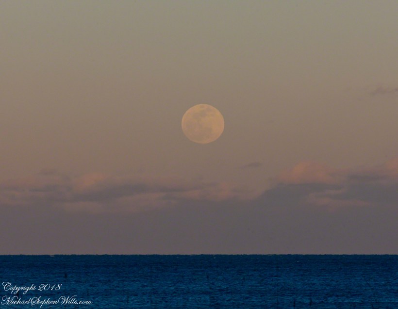
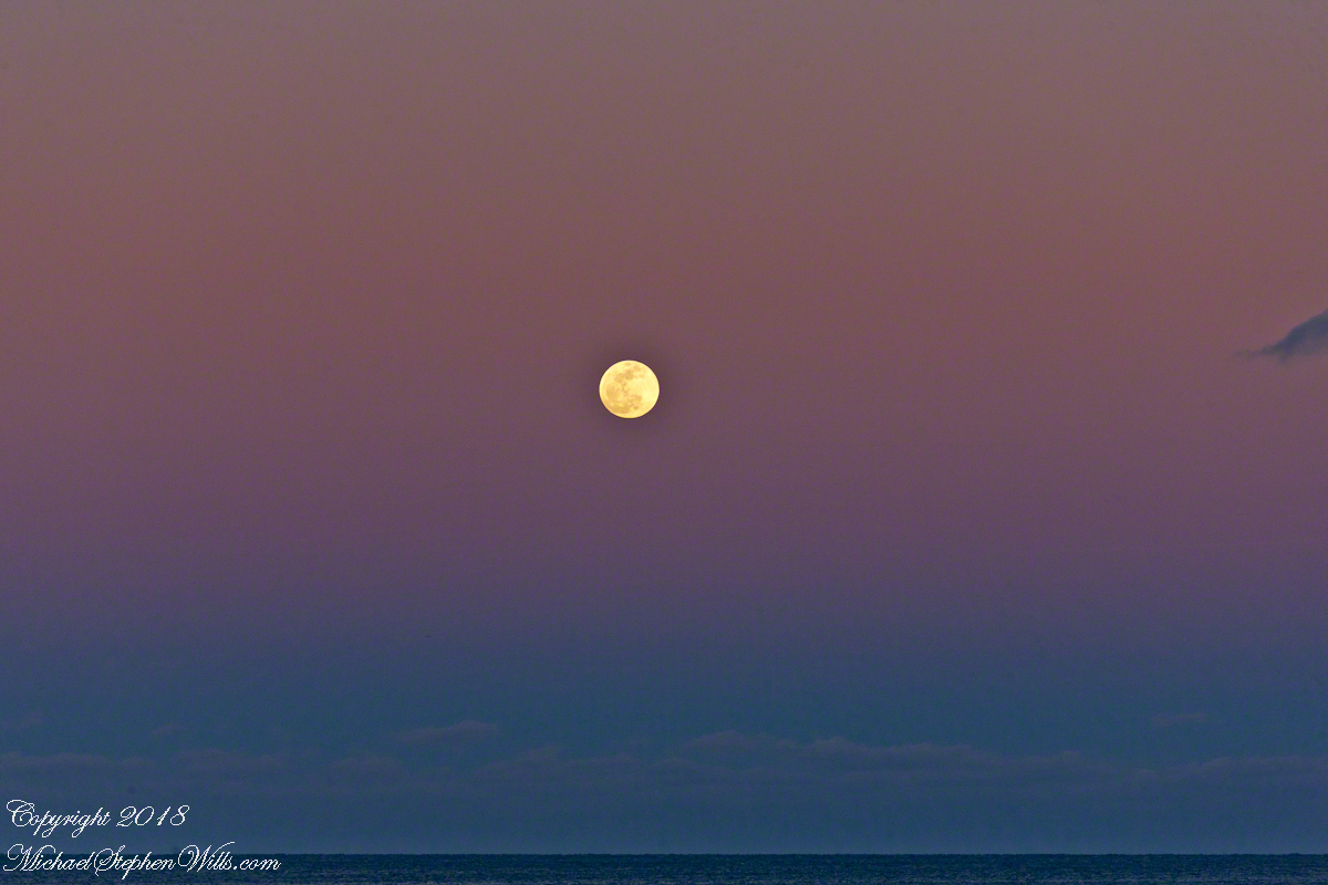
Then the moon appeared—first as a bruise-colored coin pressed against a bank of cloud, then as itself, pale and whole, rising as if pulled on a cord. Photographs can play a trick here: place a ship under a full moon and, with the right lens, the vessel swells to improbable grandeur while the moon looks like a modest ornament. Our eyes know better. The ship is huge but near; the moon is unimaginably larger, only far. Distance humbles everything.
It’s a fine parlor truth that every lunar eclipse requires a full moon. There’s a steadiness in that—that the earth, playing the rare importance of middle child, can only cast its shadow when the moon has come fully into its own. The reverse, of course, is not guaranteed. Most full moons rise and go about their business, silvering roofs and quieting dogs, without ever tasting the earth’s shadow. Tonight would be different.

The Riddle of Size
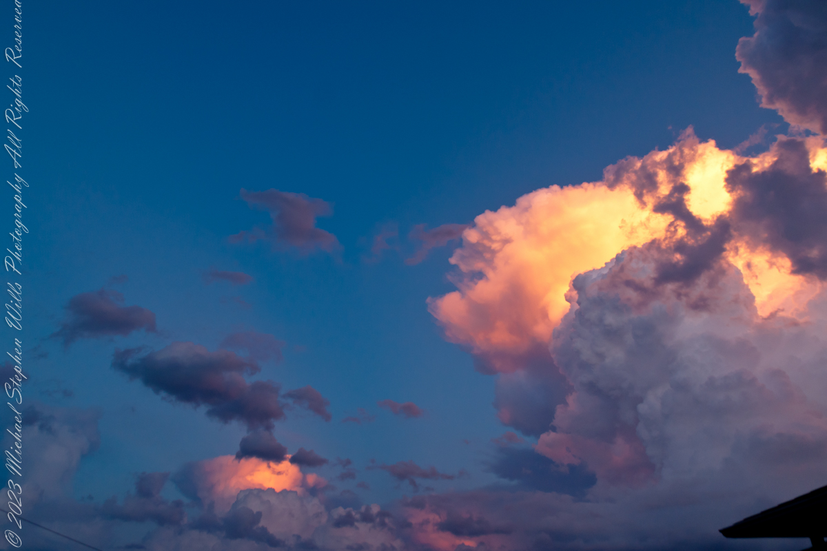
Before the darkness advanced, the old riddle of size made its entrance. Low on the horizon, the moon seemed suddenly intimate, big enough to pocket the ship and still have room for the lighthouse. We call it an illusion, but the word hardly captures the tenderness of it: how the mind, seeing that round face near our familiar trees and eaves, feels the moon to be part of our belongings. Angular diameter stays stubbornly constant; affection does not. The experiment is easy enough—choose a pebble that covers the low moon at arm’s length, then try again when the moon is high. The same pebble hides it perfectly. What changes is not the moon, but the story our senses tell.
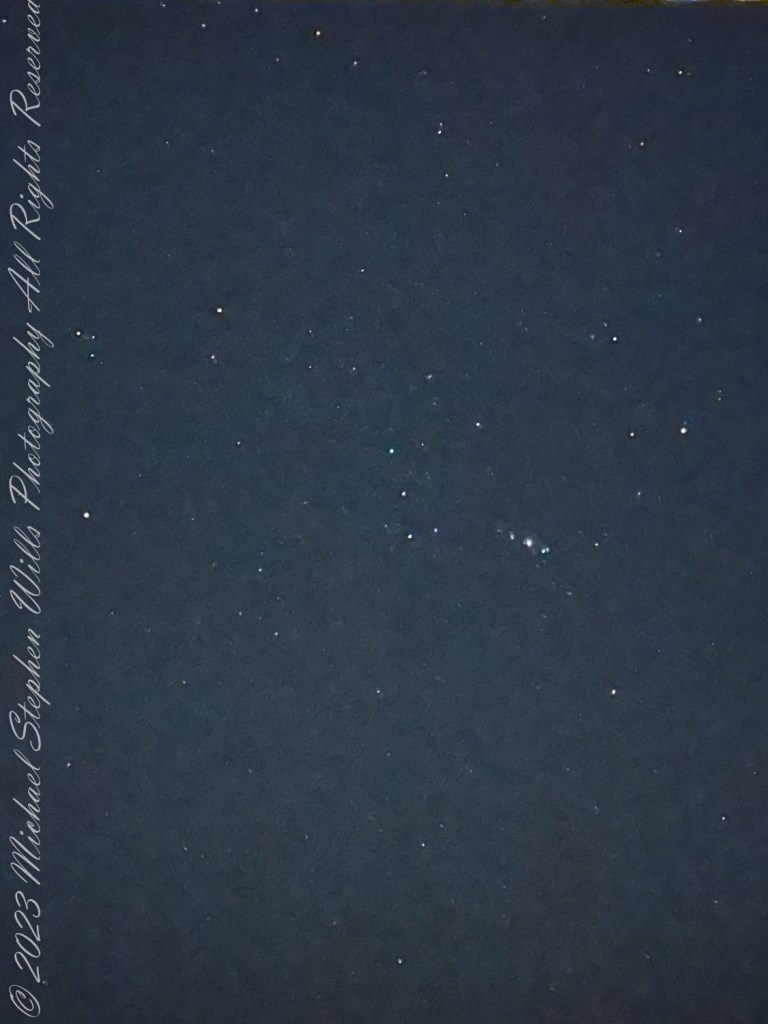
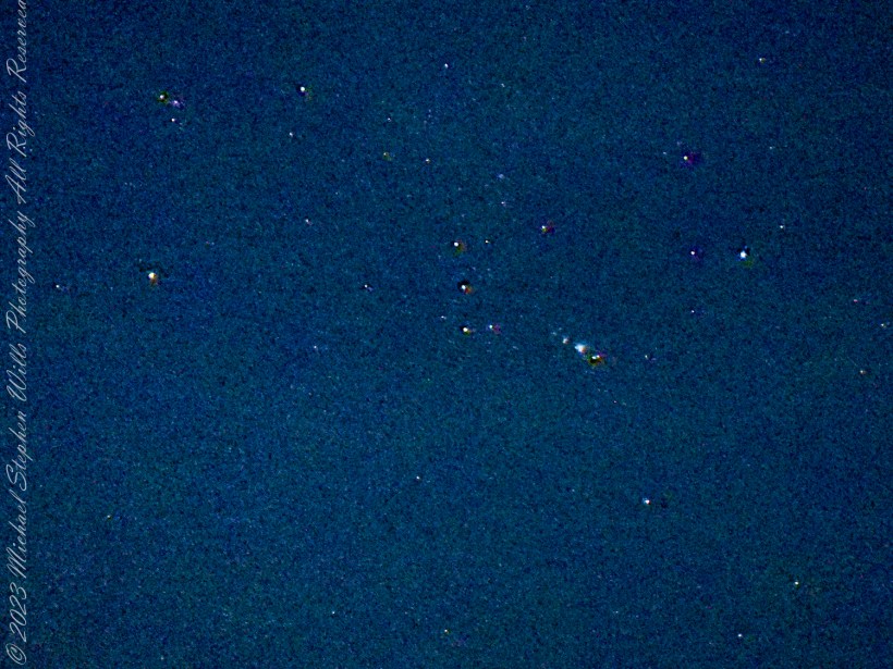
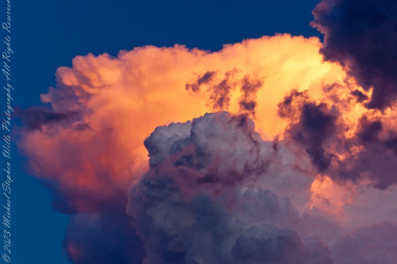
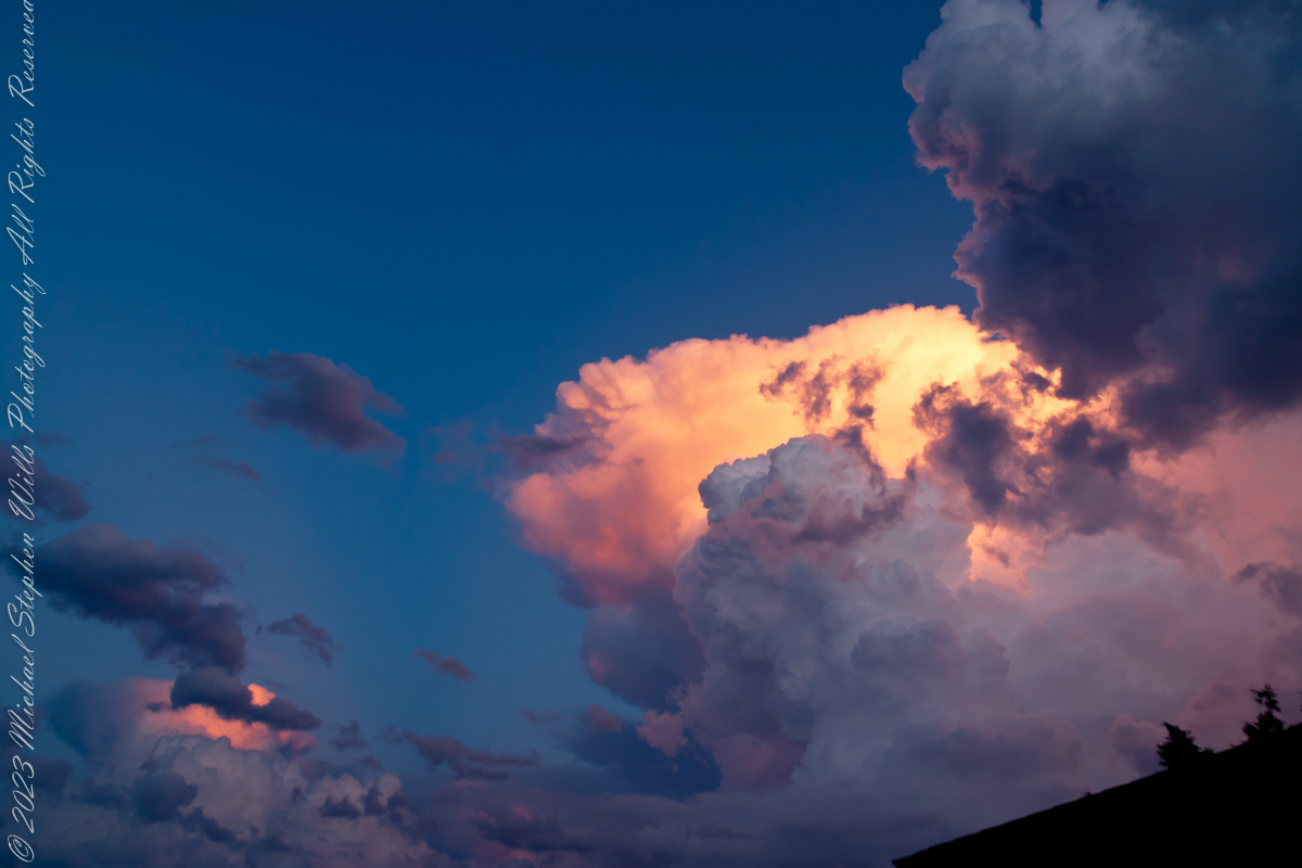
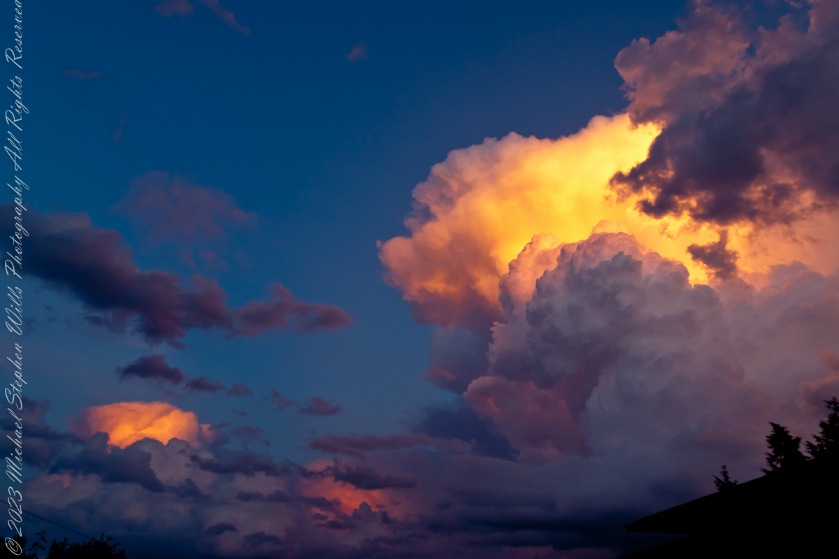
Clouds raveled and the disk lifted, gathering brightness. As the earth’s umbra slid across that worn, luminous stone, the color shifted from pearl to rust, then to the old red of clay amphorae. People love the names—Super, Wolf, Blood—as if the moon had stepped onto a carnival midway. I prefer the quieter facts: sun, earth, moon aligned; light refracted through air; the planet itself briefly confessed in velvet shadow. It felt less like spectacle than like a family resemblance revealed by candlelight.
Eclipse
Much later, around us, the little neighborhood chorus noticed. A conversation stalled mid-sentence; the unspooled hush you hear at a concert just before the bow draws its first note came and settled on the patio. Even the ocean seemed to restrain itself, waves taking smaller breaths. The cruise ship had long since slid behind the curvature of our seeing.
We kept watching. A lunar eclipse is an exercise in patience: everything happens slowly enough to be felt, quickly enough to refuse boredom. Shadows are honest about their edges. When the moon wore its deepest copper, I thought of ancient nights and imaginations unlit by anything but fire, how dependable cycles must have seemed like messages and how—standing there, spine pricked by a familiar old awe—I could not entirely disagree. It was not fear, but kinship: the sense that we are included in the machinery, not merely spectators.
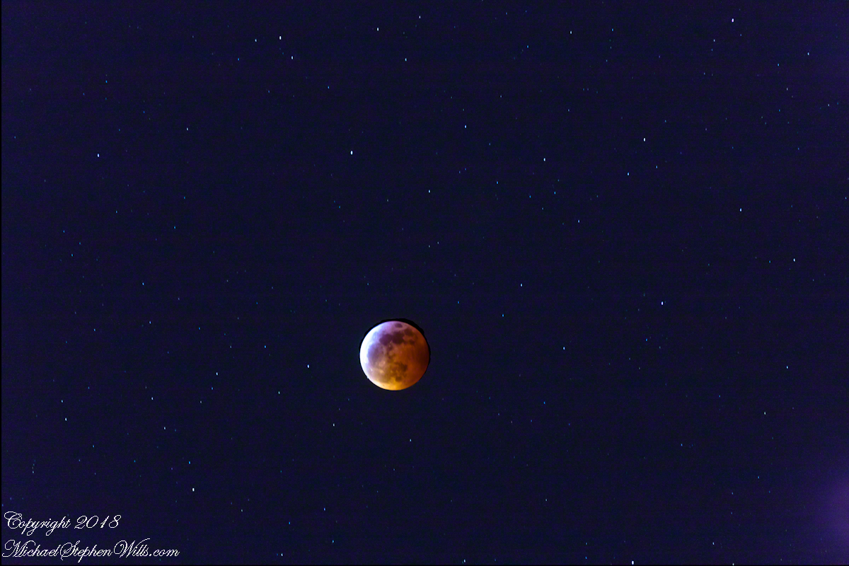
When the light returned, it did so from one margin, like dawn rehearsed on a smaller stage. The coin brightened by degrees, and the old face we know reappeared—craters and mares soft as thumbprints. The illusion of size faded as the moon climbed, and the experiment with the pebble proved itself yet again. Even so, I felt the tug of that earlier enchantment, the way a child misses a dream just after waking. The mind keeps two ledgers: one for what is measured, one for what is felt. Tonight both were full.
Eventually we retired. Chairs nested. Doors clicked. In the kitchen, glasses chimed in the sink. But the moon kept on, white and durable, its borrowed light restored. Somewhere out there the ship’s passengers drifted to their cabins, stories in their pockets about the night the world itself cast a shadow, and how the ocean looked briefly like copper under a patient star.
Later, when I wrote down the times and the few facts I could trust to memory, I realized the real record was not the measurements but the company: our leaning back, the shared breath, the soft astonishment that comes when something vast moves at a human pace. The eclipse ended; the evening did not. That, too, felt like a kind of alignment—ours with one another, our small chairs with a very large sky.
Enter your email to receive notification of future postings. I will not sell or share your email address.