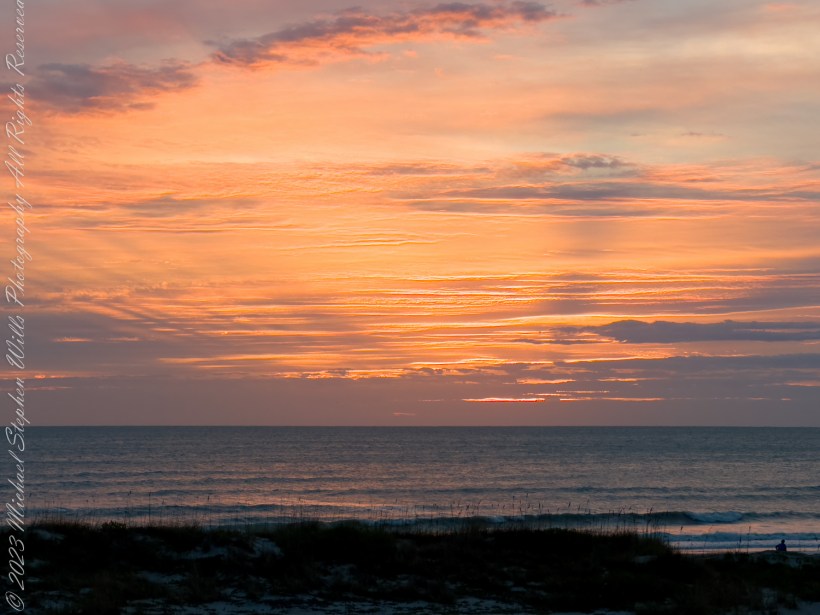
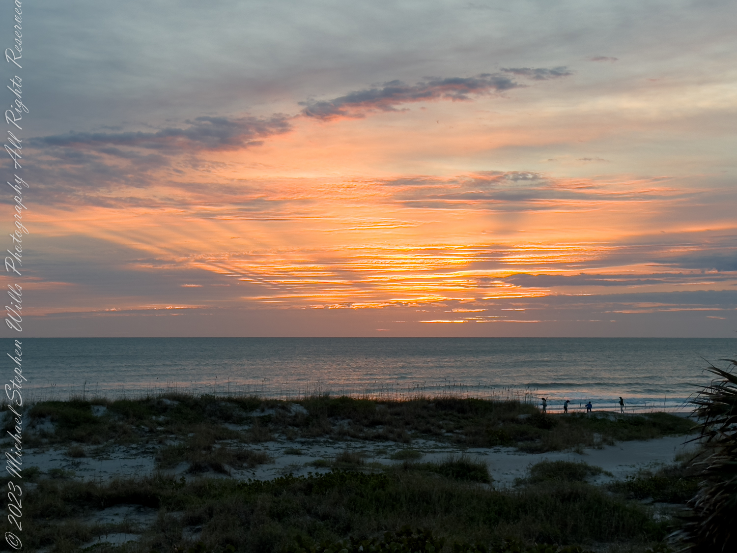
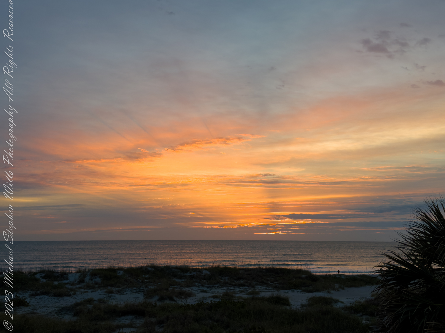
Awake, my soul, to morning’s radiant grace, as dawn’s first light adorns the sky’s embrace. Behold the scene where heaven meets the sea, a tapestry of hues, divinely free.
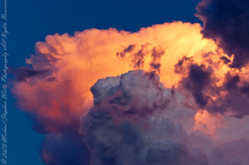
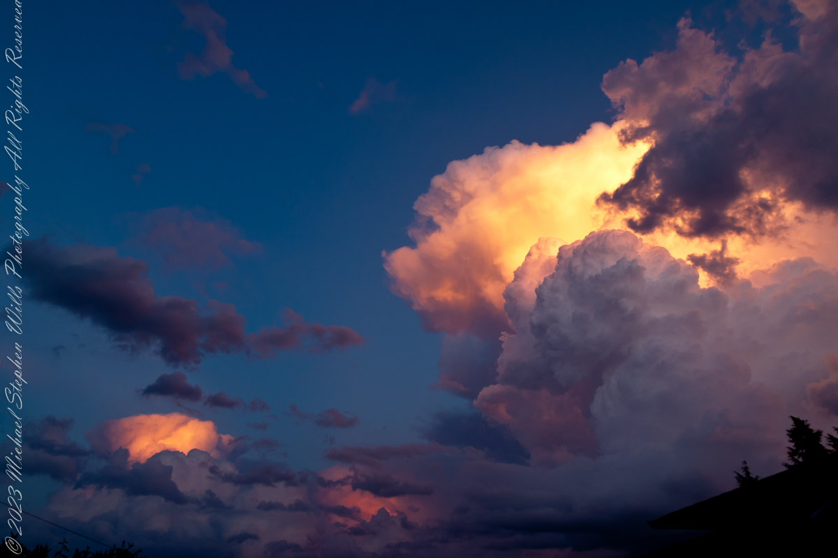
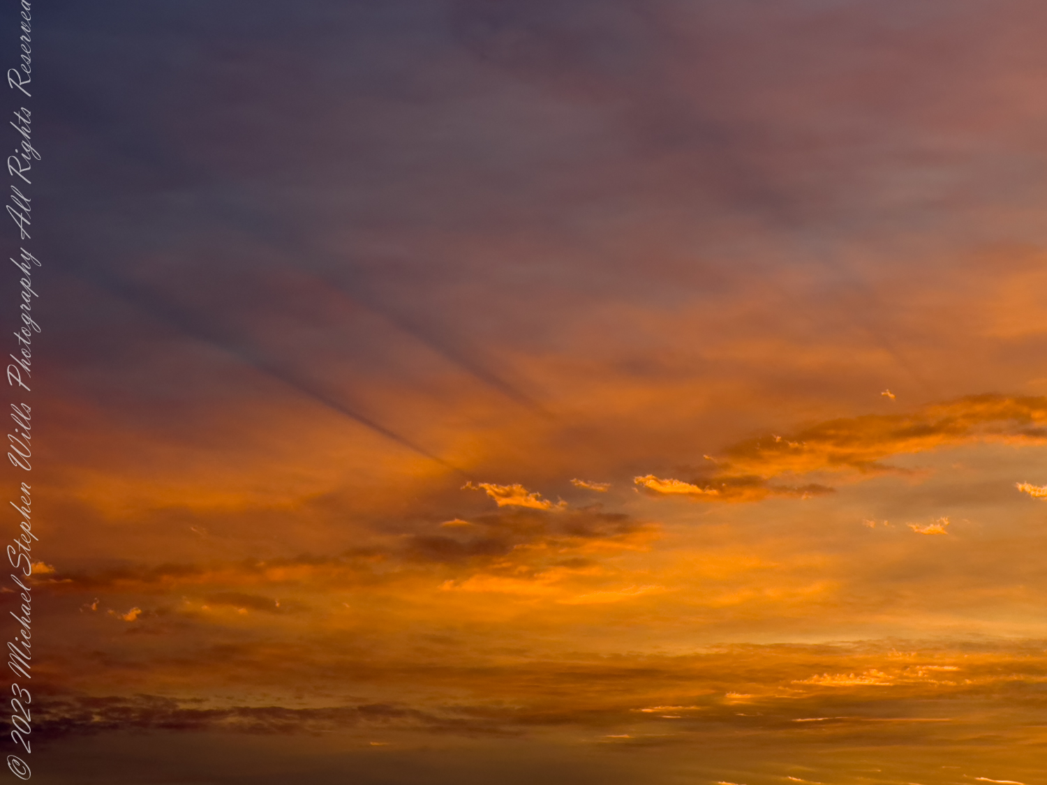
The eastern sky ignites with golden fire, each ray a herald of the sun’s desire. In softest pinks and boldest crimsons cast, the night retreats, and day arrives at last.
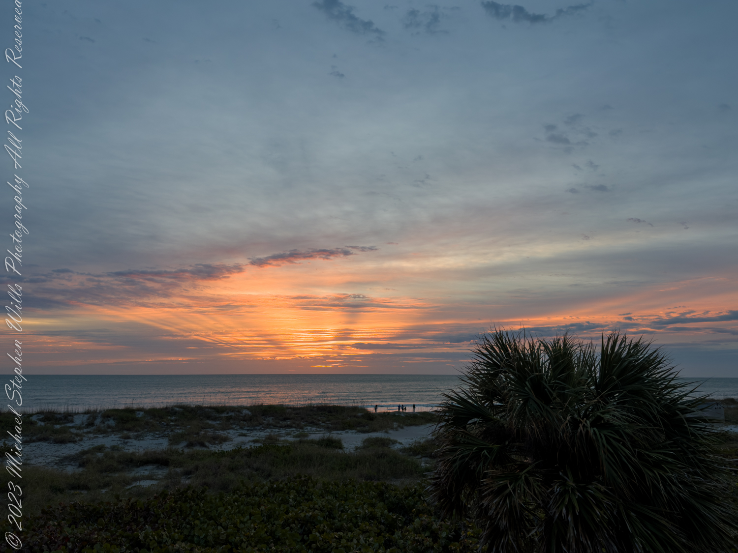
The ocean, kissed by dawn’s ethereal light, reflects the splendor of the coming sight. Waves gently lap upon the sandy shore; their whispered secrets speak of days of yore.
The palm trees sway in rhythmic, gentle dance, their silhouettes in morning’s light enhance. A peaceful stillness wraps the world in awe, as nature’s beauty strikes the heart with awe.
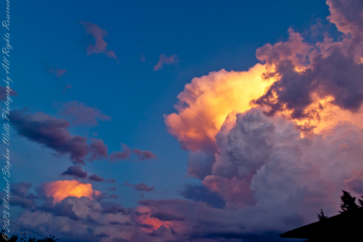
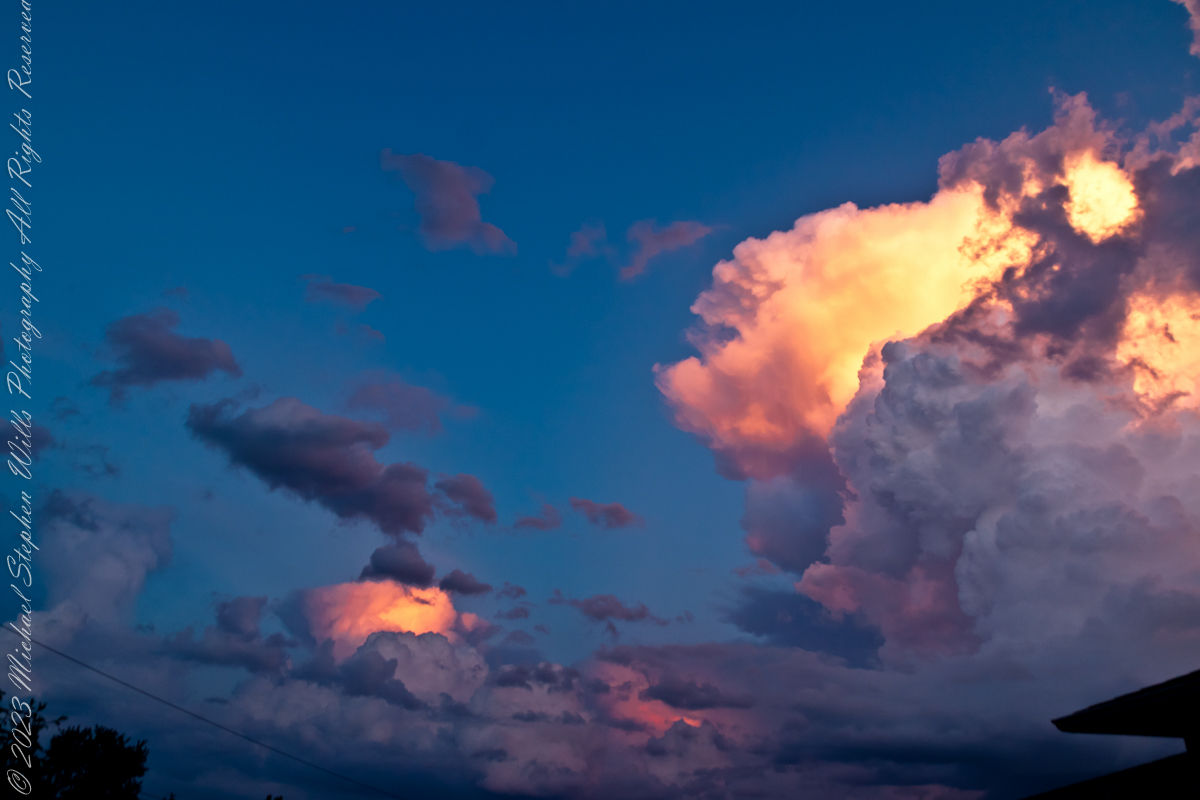
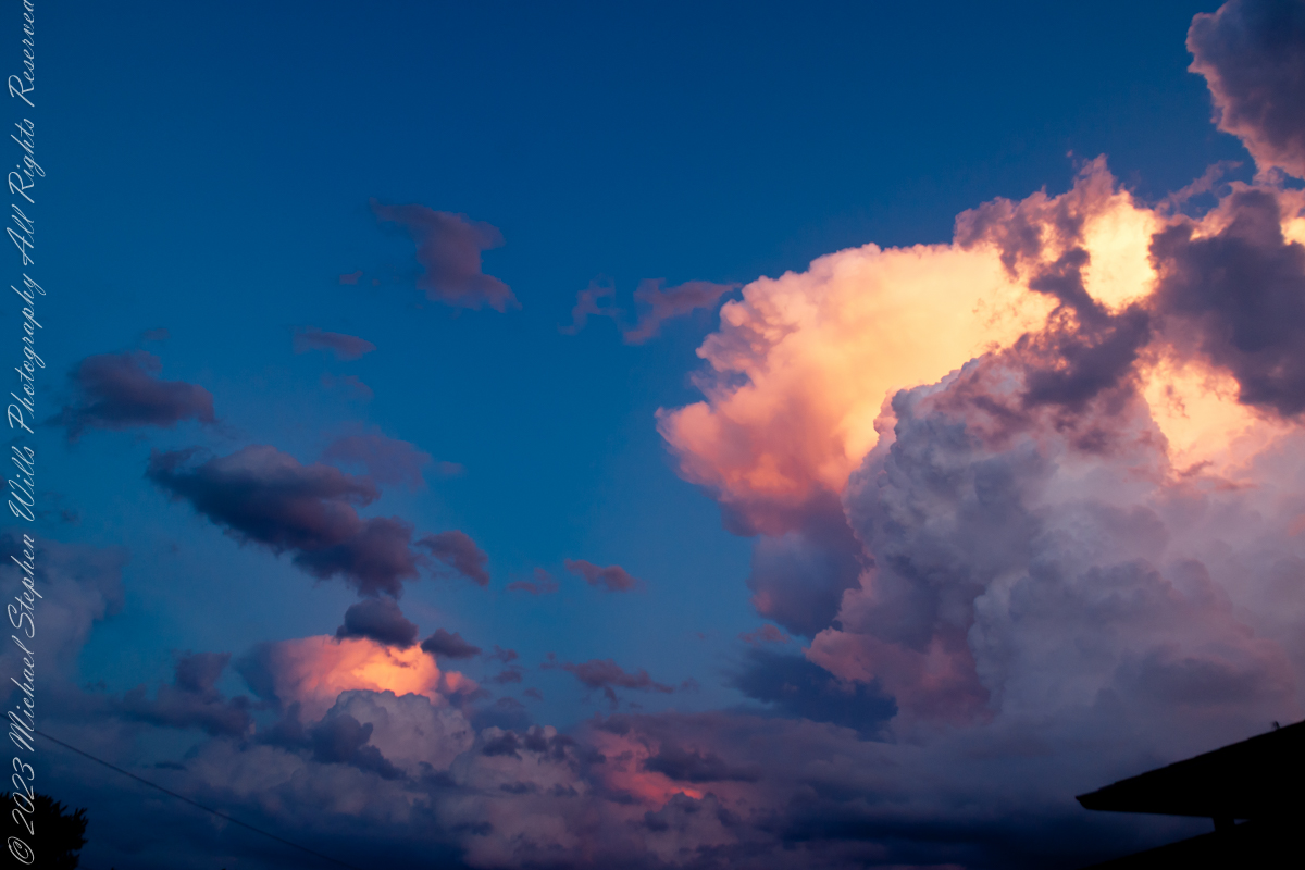
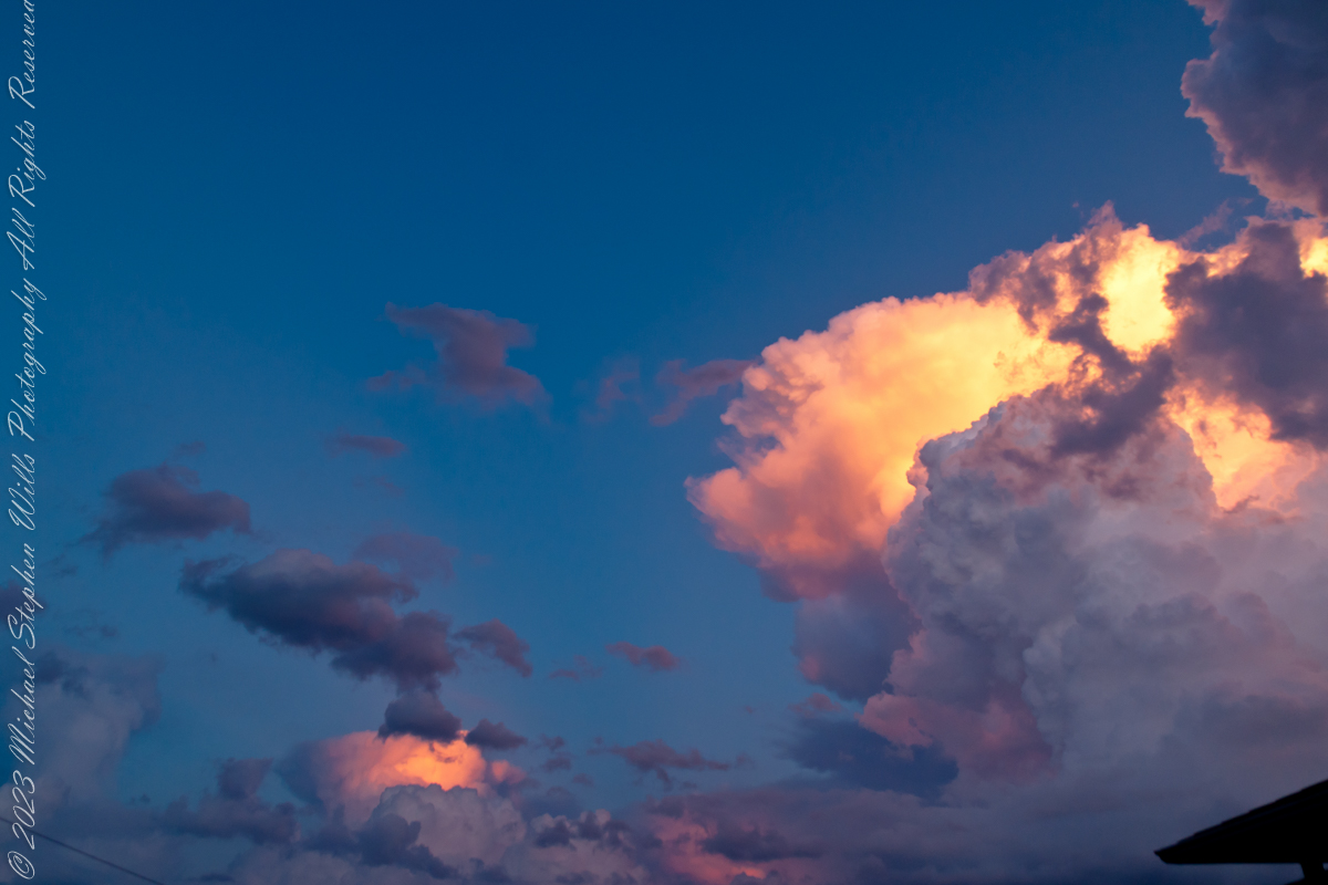
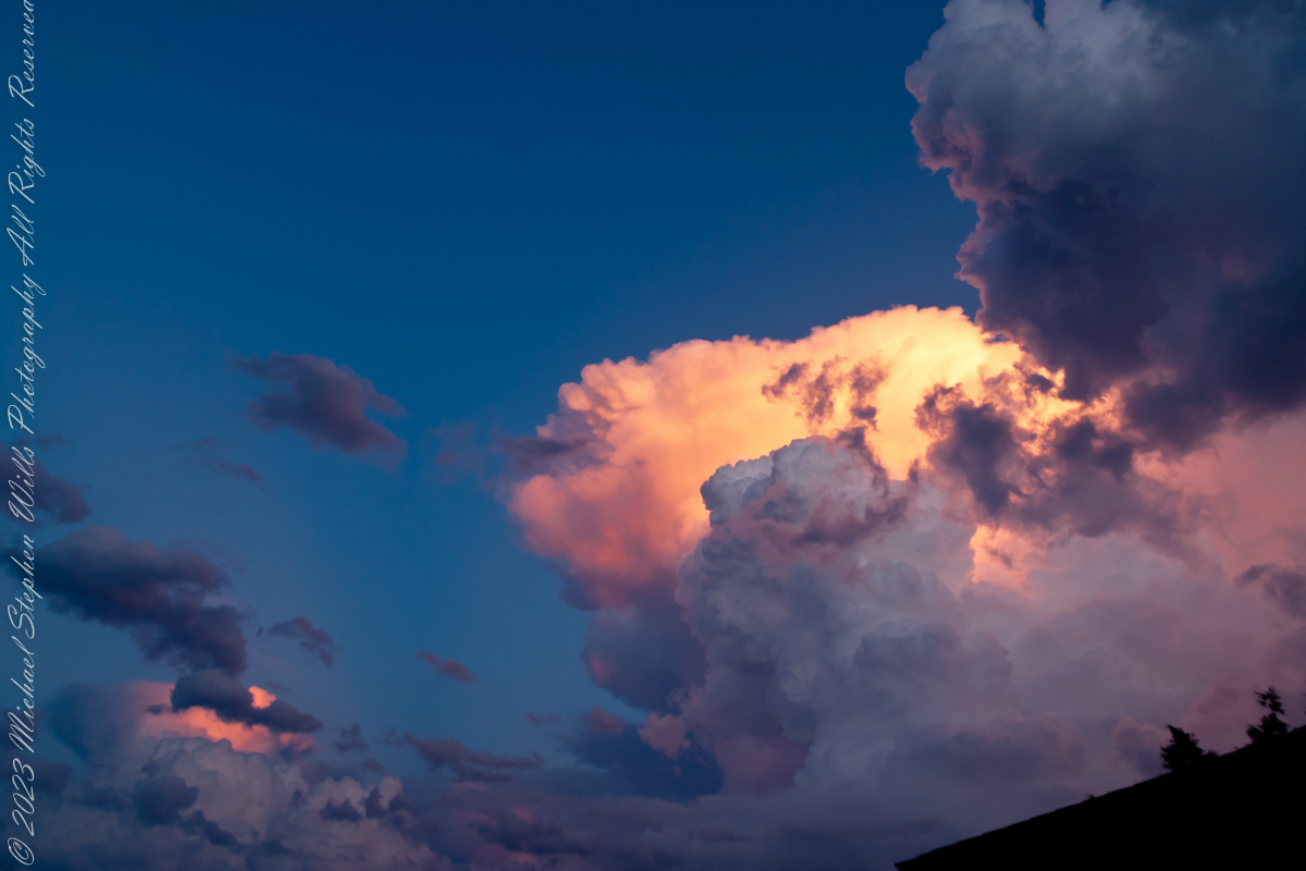
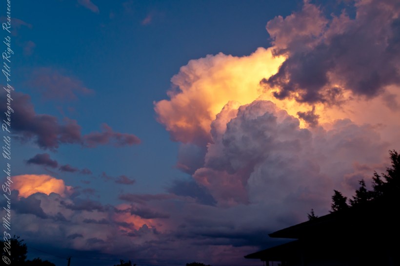
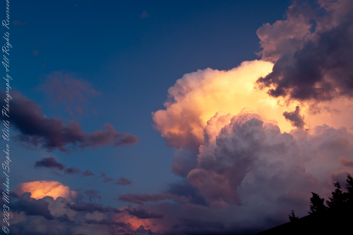
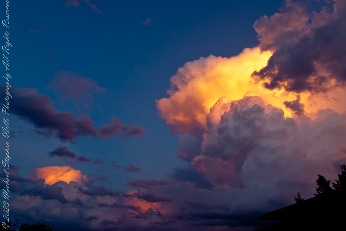
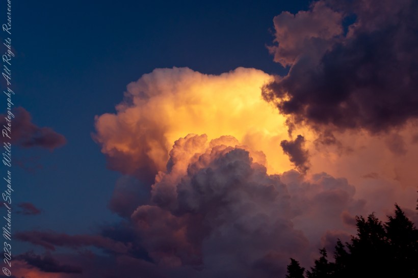
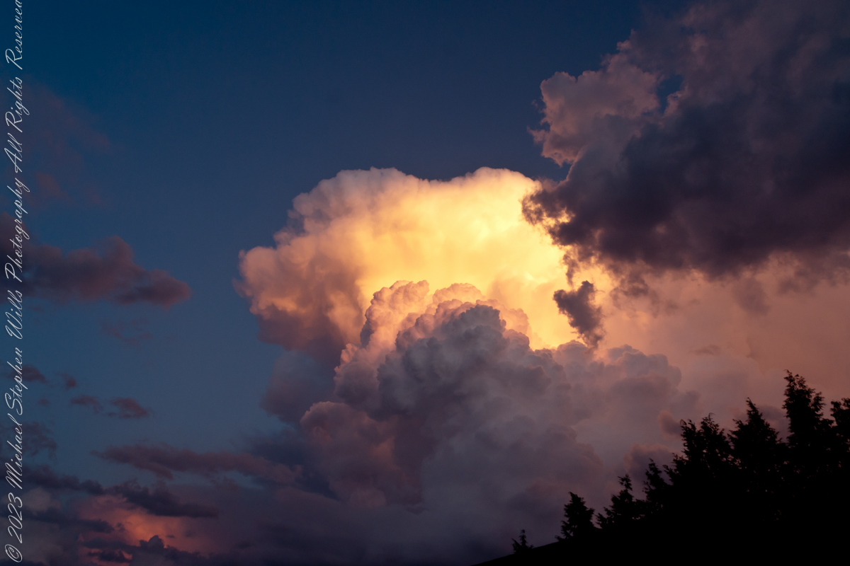
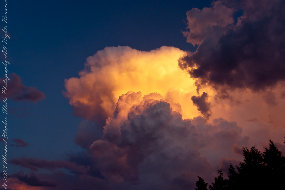
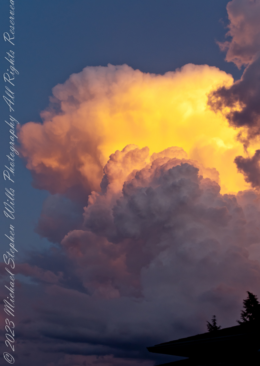
The scattered clouds, with edges tinged in gold, Frame the horizon as the day unfolds. They drift like dreams upon the waking breeze, in harmony with rustling leaves of trees.
And as the sun ascends its royal throne, Its warmth and light through every vein is known. A new day born, with promise in its wake, invites the heart to rise and dreams to take.
Imagine, seagulls soar on wings of pure delight, their cries a chorus to the morning’s light. They glide and dive with effortless grace, their freedom echoes in this sacred space.

On distant sands, the footprints of the few mark early risers greeting morning’s hue. Their presence, fleeting, soon to be erased, by tides that sweep the shore in gentle haste.
Oh, glorious dawn, thy beauty so profound, Inspire the soul where peace and love abound. Let hearts be lifted by thy gentle hand, to cherish all that’s wondrous in this land.
For in this moment, all the world is still, the chaos of the night’s dark dreams to kill. A symphony of light and life begins, as morning’s joy through every fiber sings.
So let us honor this celestial show, where sky and sea in radiant colors glow. In silent reverence, we stand and gaze, at dawn’s first light, and marvel at its blaze.
Awake, my soul, and bask in morning’s gleam, embrace the beauty of this waking dream. For in the sunrise, hope and peace reside, a timeless gift the heavens do provide.