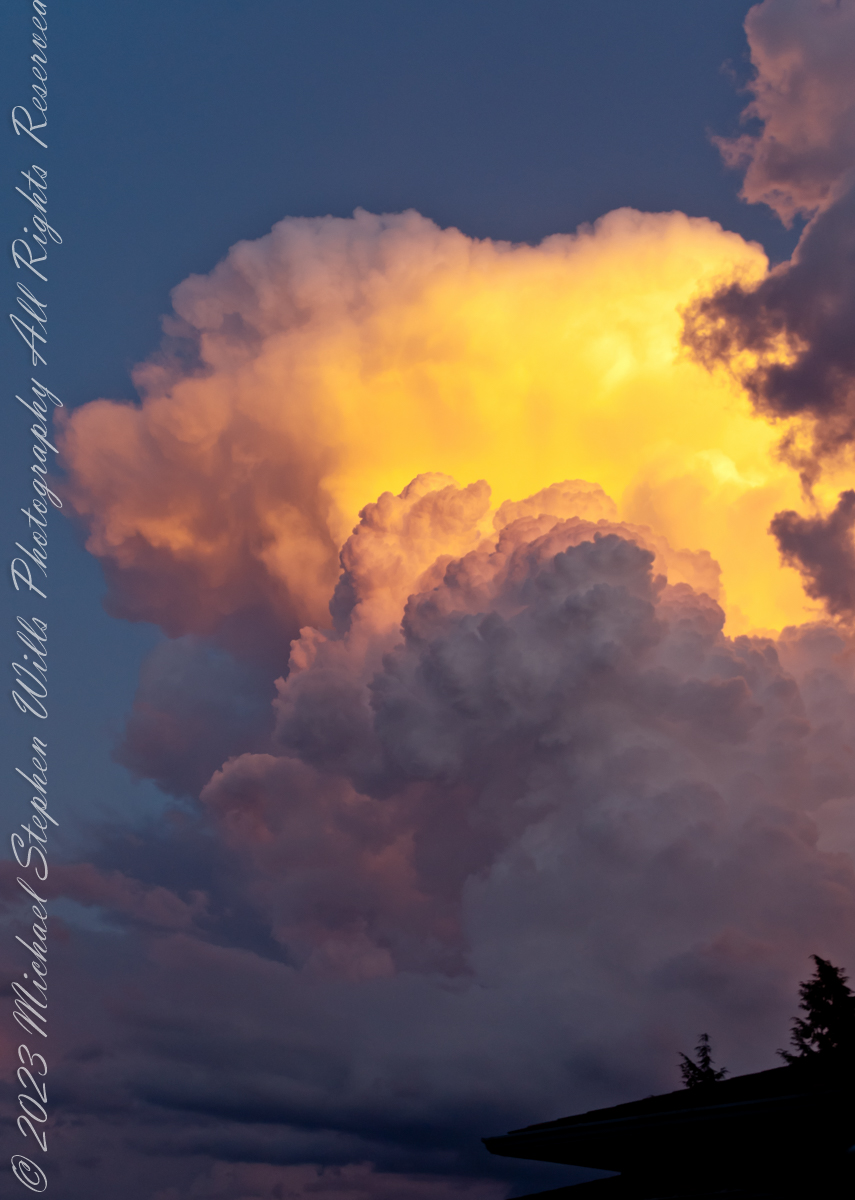
Cumulonimbus (from Latin cumulus ‘heaped’, and nimbus ‘rainstorm’) is a dense, towering vertical cloud, typically forming from water vapor condensing in the lower troposphere that builds upward carried by powerful buoyant air currents.
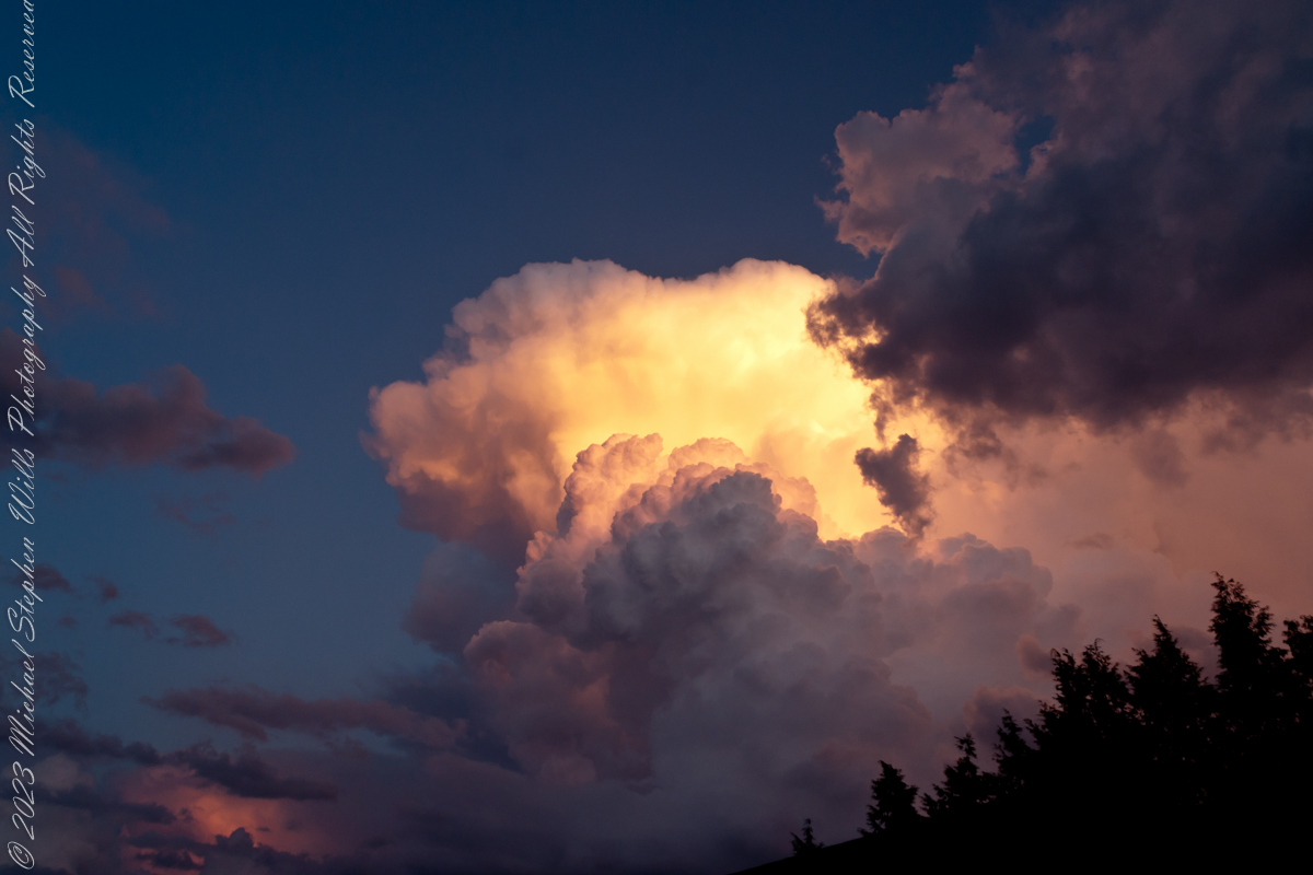
Above the lower portions of the cumulonimbus the water vapor becomes ice crystals, such as snow and graupel, the interaction of which can lead to hail and to lightning formation, respectively. When occurring as a thunderstorm these clouds may be referred to as thunderheads. Cumulonimbus can form alone, in clusters, or along squall lines.
Graupel also called soft hail, hominy snow, or snow pellets, is precipitation that forms when supercooled water droplets in air are collected and freeze on falling snowflakes, forming 2–5 mm (0.08–0.20 in) balls of crisp, opaque rime.
Graupel is distinct from hail and ice pellets in both formation and appearance. However, both hail and graupel are common in thunderstorms with cumulonimbus clouds, though graupel also falls in winter storms, and at higher elevations as well.
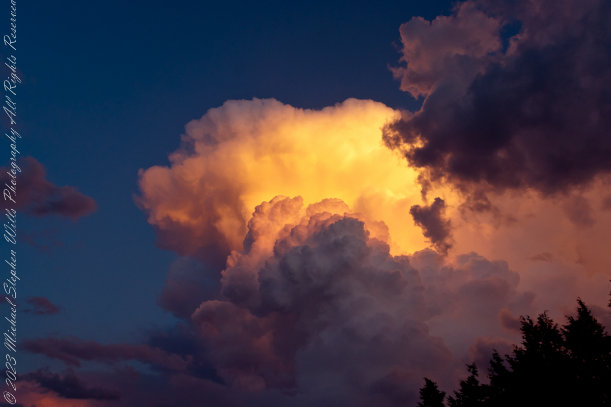
These clouds can produce lightning and other dangerous severe weather, such as tornadoes, hazardous winds, and large hailstones. Cumulonimbus progresses from overdeveloped cumulus congestus clouds and may further develop as part of a supercell. Cumulonimbus is abbreviated Cb.
Reference: “Cumulonumbus Cloud” and “Graupel” from Wikipedia

Fascinating! Great photos
LikeLiked by 1 person
Thank You, settings like this are few and few between.
LikeLiked by 1 person
Gorgeous captures
LikeLiked by 1 person
Thank You….the clouds were on top of us. I was lucky with this one.
LikeLiked by 1 person