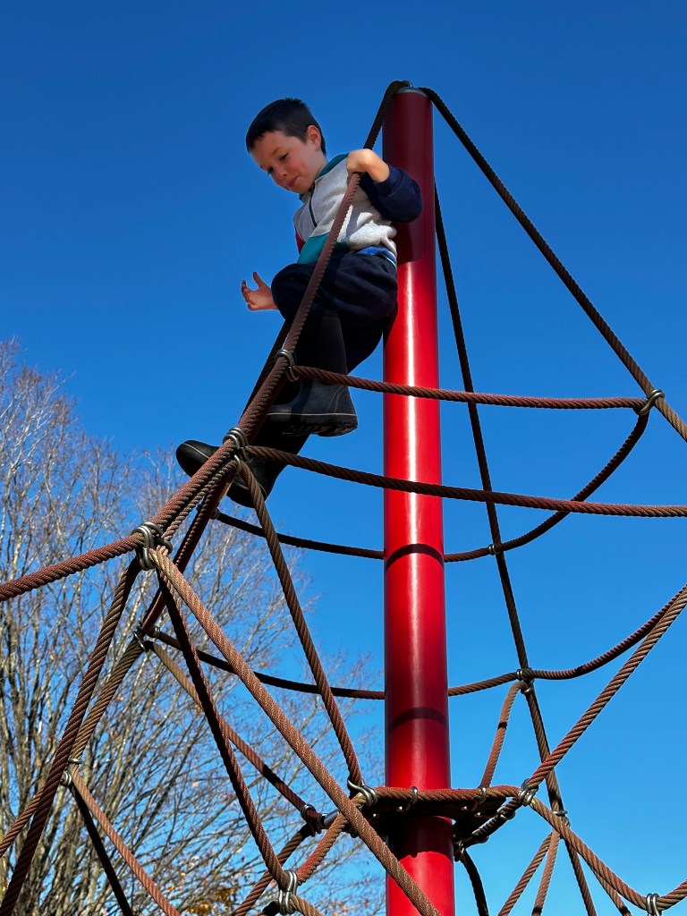
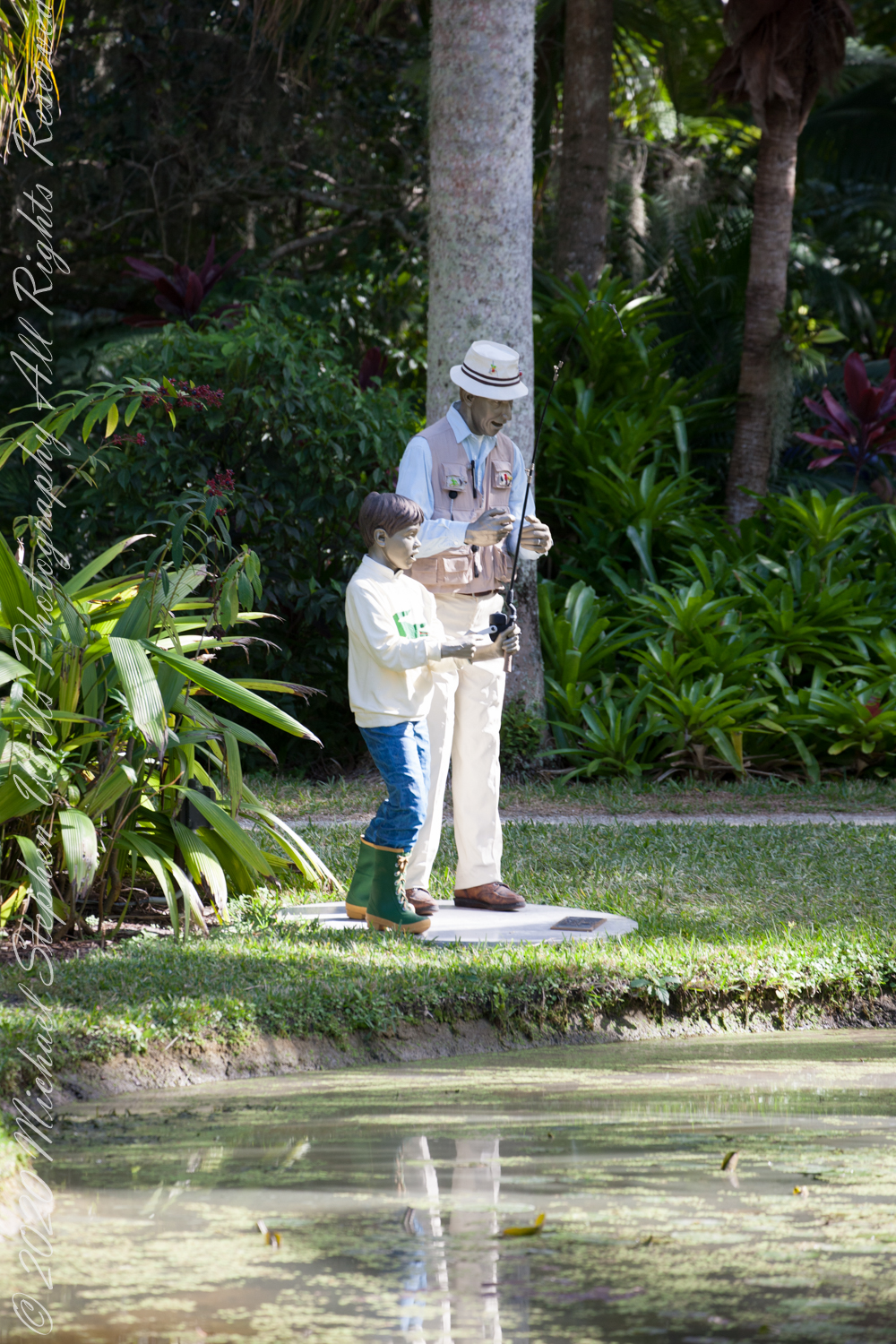
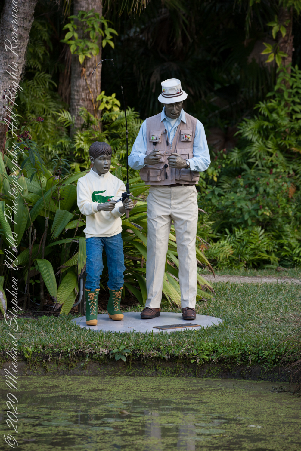
Seward Johnson’s figures have a way of surprising us, they seem to have been waiting for us all along. They stand on sidewalks, lean into ordinary errands, pause in gestures we recognize before we understand why. In Holding Out, A Day Off, and Nice to See You, the artist gives us not heroes, saints, or rulers, but people caught in the small ceremonies of daily life: carrying groceries, taking a pause, greeting another human being. They are bronze, yet they seem to breathe the air of our own passing afternoons. Our grandson’s first impression of Nice to See You was, “How often do they wash his clothes?”
Johnson, born in New Jersey in 1930, became known for life-size painted bronze figures that bring art out of the museum and into public space. His Celebrating the Familiar series does exactly what the title promises. It asks us to look again at what we normally overlook. A person resting. A woman burdened with bags. A meeting on the street. These are not dramatic events, yet they are the substance from which a life is made.
That may be why these sculptures move me. They are comic, playful at first glance. One expects the figure to turn, shift weight, apologize for blocking the way. But the longer I look, the more the humor gives way to tenderness. Johnson’s realism is emotional as well as technical. Postures are caught before the sentence, the hand before the reply, the pause before someone walks away.
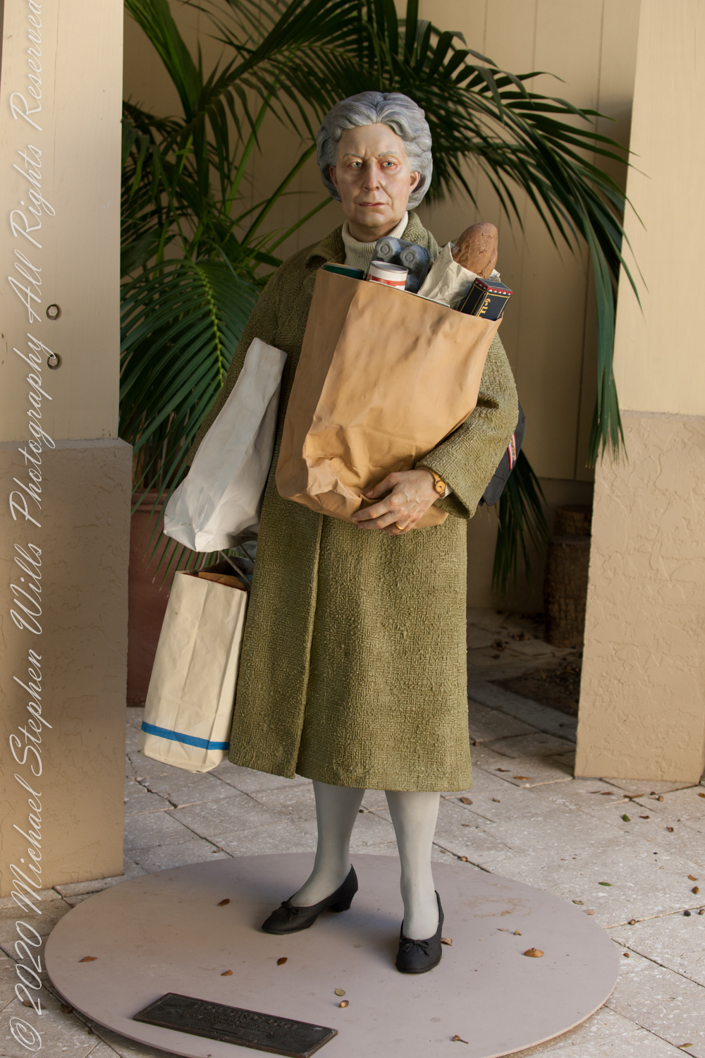
Holding Out suggests the labor of ordinary devotion. The figure carries the evidence of errands, appetite, domestic obligation, perhaps generosity. Groceries are never merely groceries. They are meals not yet cooked, tables not yet set, bodies cared for, conversations expected. To carry food home is to participate in one of the oldest forms of love. There is fatigue in such a pose, but also purpose. The sculpture reminds me how much of family life is carried without ceremony.
A Day Off speaks in a different key. A day off is supposed to be freedom, yet even leisure has its burden. Time, once unstructured, can feel strangely precious. We plan to rest, then discover that rest asks something of us: the courage to stop, to let the world proceed without our supervision. Johnson’s figure becomes a meditation on the fragile privilege of an unclaimed hour. The sculpture seems to ask whether we know how to receive such a gift when it comes.
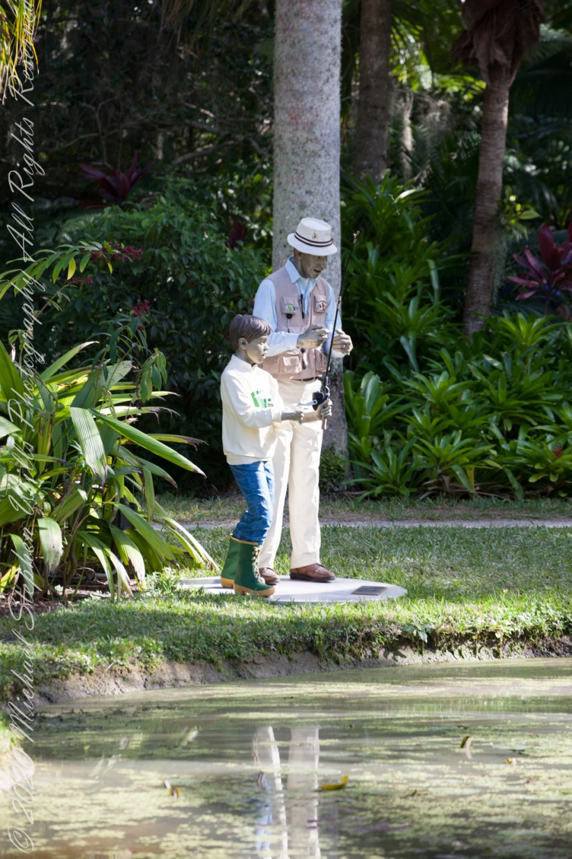
Then there is Nice to See You, a title so simple it nearly disappears into politeness. Yet those four words contain an entire philosophy of relationship. To say “nice to see you” is to acknowledge absence, survival, return. It may be said casually on a sidewalk, but beneath it lies the deeper knowledge that people do vanish from our daily routes. Friends move away. Children grow into distant schedules. Parents and grandparents become memories. Even neighbors, once familiar as weather, can pass out of our lives without a formal goodbye, not to be returned by a simple cleaning of the glass.
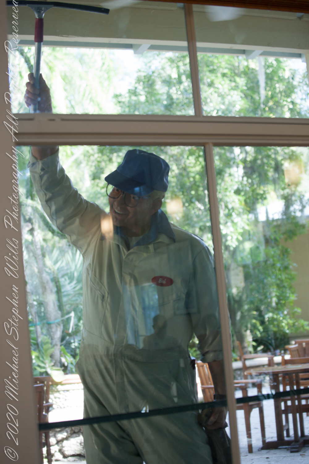
The greeting matters because time has been at work between meetings. The person we see again is never exactly the one we last saw. Nor are we the same person doing the seeing. Every reunion, however ordinary, is also a small reckoning with change.
That is the quiet power of Johnson’s public art. His figures appear fixed, but they make us aware of motion: our own. We walk around them. We photograph them. We return years later and find them unchanged, while we have altered in ways both visible and hidden. Bronze preserves the gesture; life revises the viewer.
In this way, the sculptures become companions in memory. They do not explain relationships; they stage them. They show that affection often lives in errands, pauses, greetings, and shared streets. A life together is rarely made of grand declarations. More often it is made of carrying, waiting, recognizing, and returning.
Perhaps that is why these works linger after the first amusement fades. They restore dignity to the unmonumental. They suggest that the passing of time is not only loss, but accumulation. The grocery bag, the free afternoon, the familiar greeting—each becomes a vessel. Each holds what we have given, received, forgotten, and remembered.
Johnson’s people stand still, but they point us toward movement: toward the next errand, the next meeting, the next chance to say, with more feeling than the phrase usually carries, “Nice to see you.”