Pinelands Connections I

Geneology and DNA

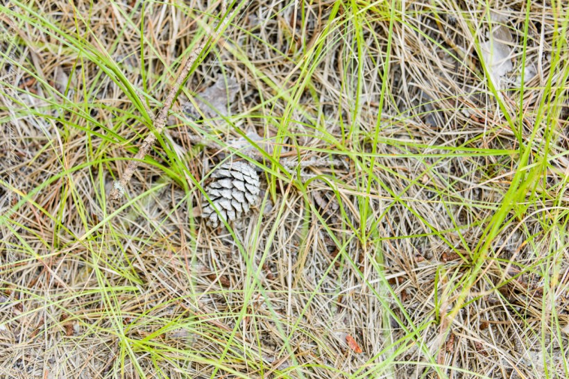
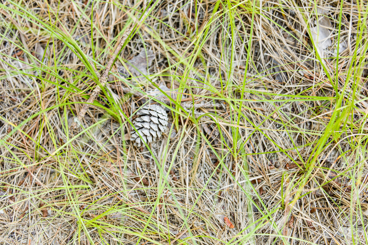
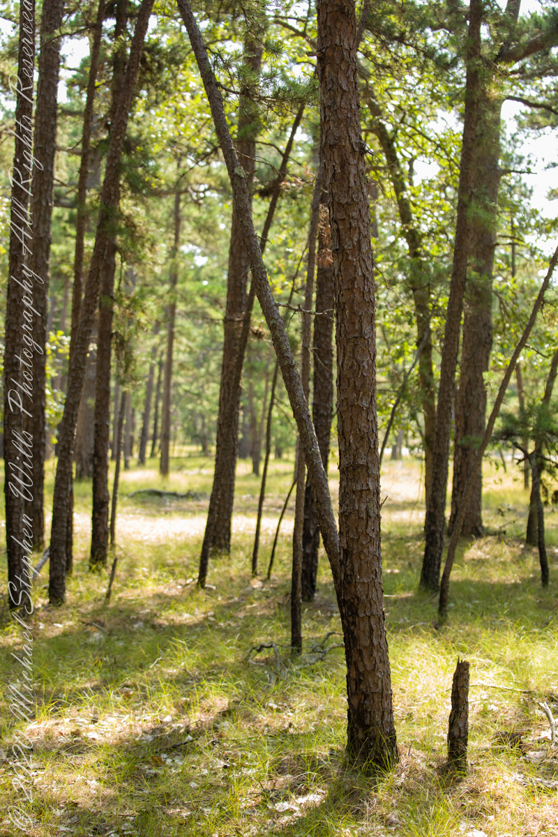
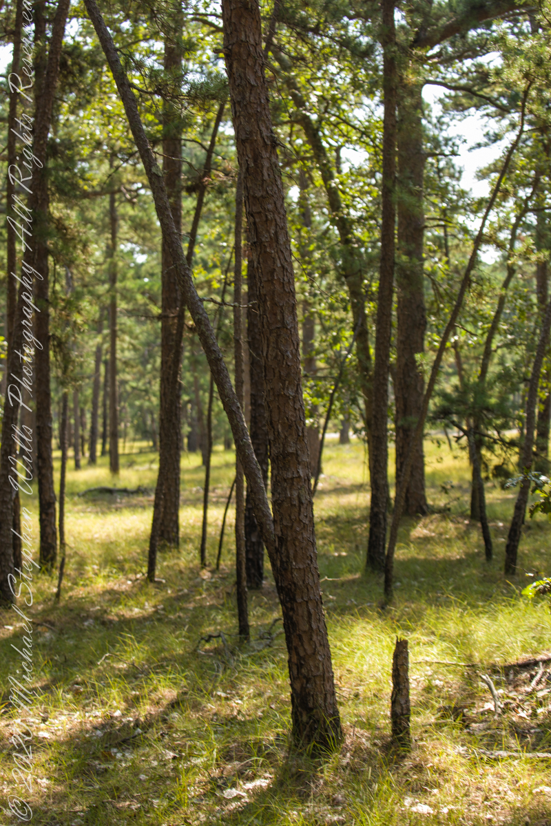
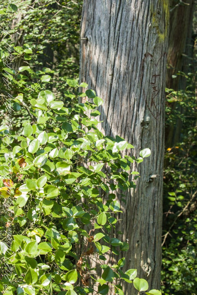
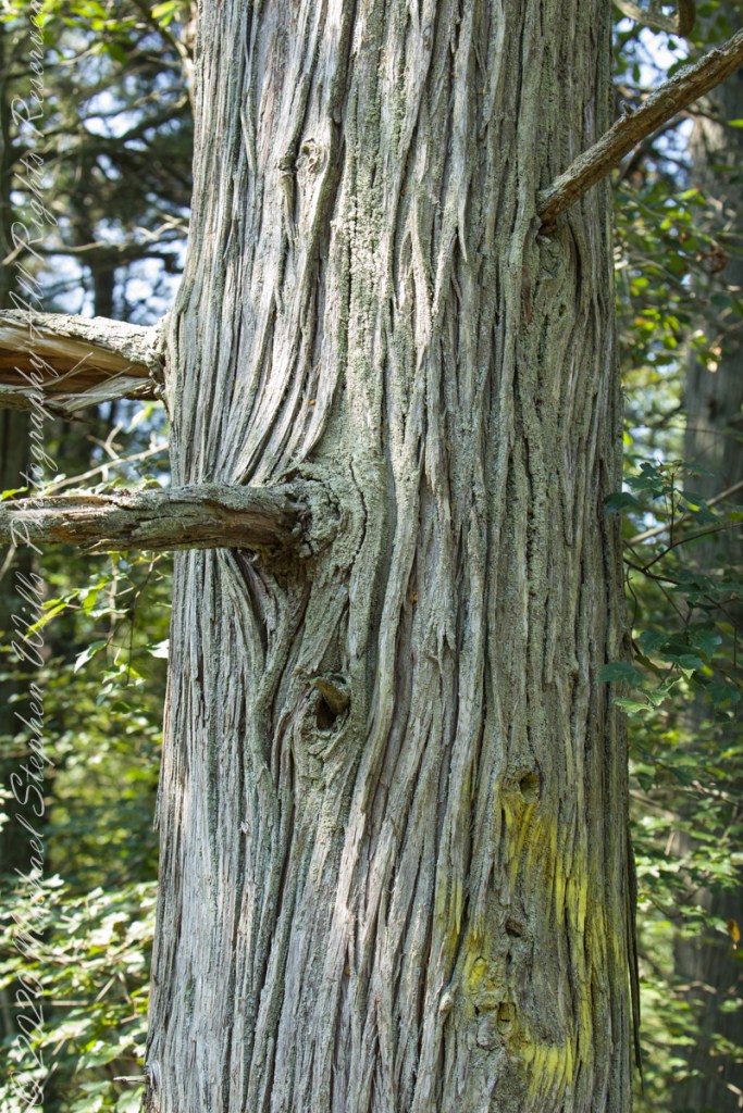
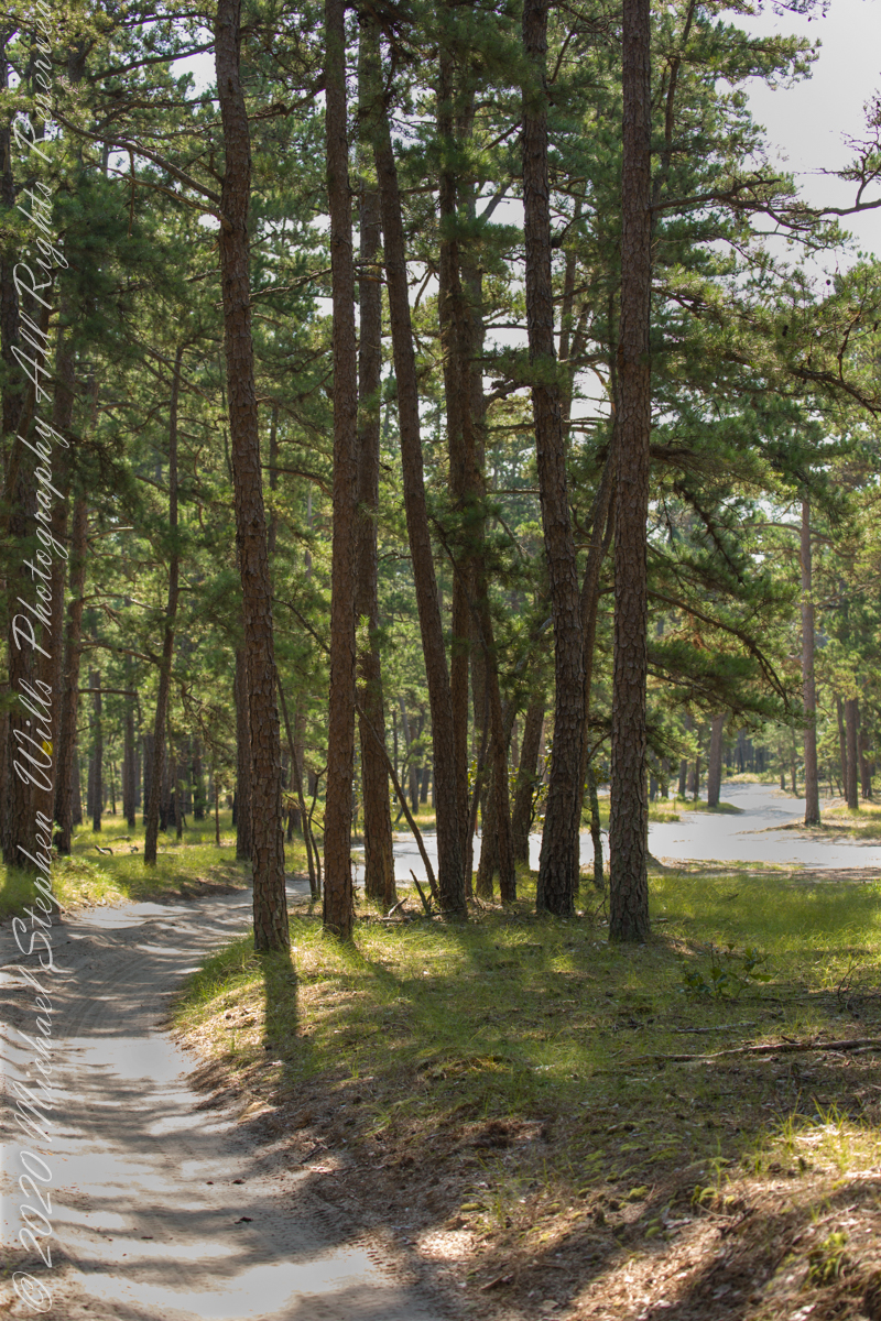
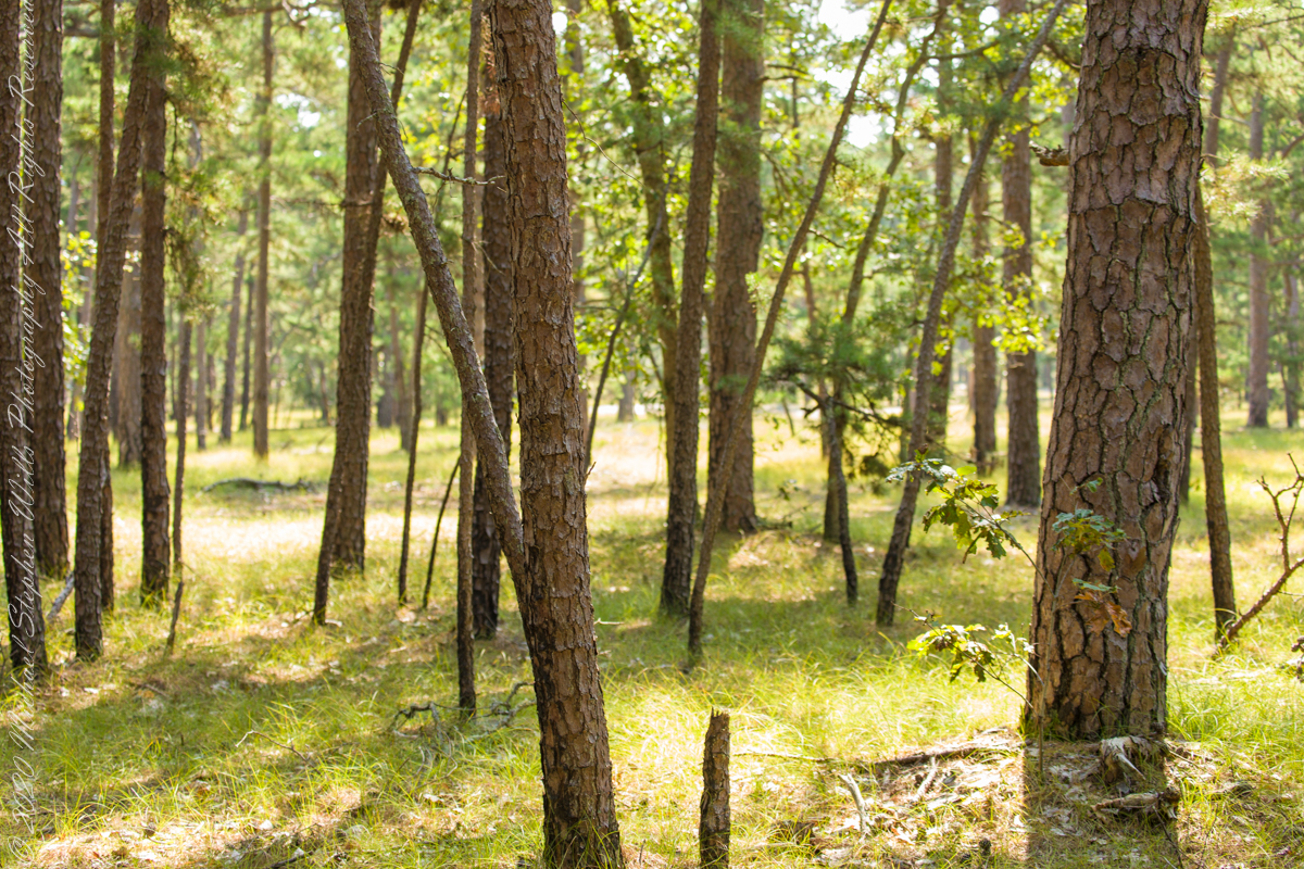
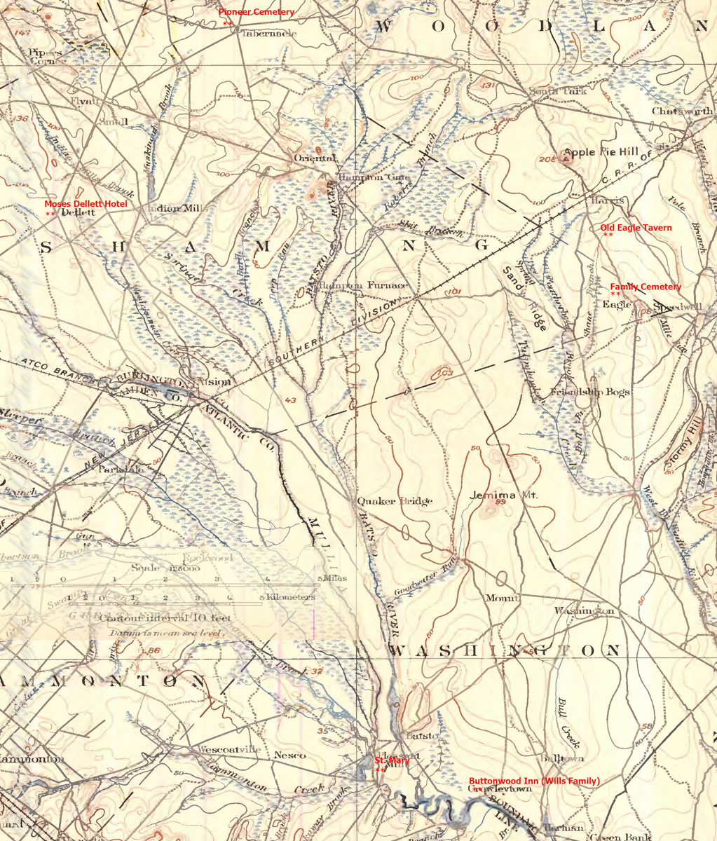
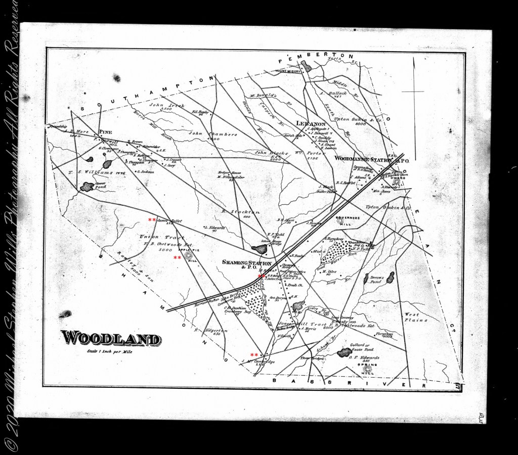
“From the fire tower on Bear Swamp Hill, in Washington Township, Burlington County, New Jersey, the view usually extends about twelve miles. To the north, forest land reaches to the horizon. The trees are mainly oaks and pines, and the pine predominate. Occasionally, there are long, dark, serrated stands of Atlantic white cedars, so tall and so closely set that they seem spread against the sky on the ridges of hills, when in fact they grow along streams that flow through the forest. To the east, the view is similar, and few people who are not native to the region can discern essential differences from the high cabin of the fire tower, even though one difference is that huge areas out in this direction are covered with dwarf forests, where a man can stand among the trees and see for miles over their uppermost branches. To the south, the view is twice broken slightly — by a lake and by a cranberry bog — both otherwise it, too, goes to the horizon in forest. To the west, pines, oaks, and cedars continue all the way, and the western horizon includes the summit of another hill — Apple Pie Hill — and the outline of another fire tower, from which the view three hundred and sixty degrees around is virtually the same as the view from Bear Swamp Hill, where, in a moment’s sweeping glance, a person can see hundreds of square miles of wilderness. The picture of New Jersey that most people hold in their minds is so different from this one that, considered beside it, the Pine Barrens, as they are called, become as incongruous as they are beautiful.” From The New Yorker magazine, November 26, 1967, “Profiles, The Pine Barrens I” creative non-fiction by the great John McPhee.

This quote captures the contours of a place, now known as “The Pinelands,” a corner of Burlington County, New Jersey my English, Irish, Scottish ancestors settled from 1677 until my grandfather, James Edward Wills, left for northern New Jersey, Asbury Park, in the first years of the twentieth century. This past decade, more so since retirement 2017, I’ve explored these two hundred and twenty (220) or so years beginning with amorphous asides over the years from my father and second hand through my sisters then through online research via Ancestry.com (Ancestry) and other searches.

From my father and sisters I knew to search southern New Jersey. The United States decennial census, “thank you Constitution,” listed a George and Margaret Wills with my grandfather among their children. Great Grandfather George Wills was listed as a 14 year old child of George and Mary Wills in the 1850 census. How could I be sure? DNA technology with internet based social interaction helped there. I was contacted by a Dellett descendant, identified by DNA as a fourth cousin, who claimed Mary Wills as a double great aunt, the daughter of James and Ann Dellett. Here is a screen capture of an Ancestry “ThruLines” analysis showing the six living ancestors of James and Ann in the database. I removed the names and photos of the other five to preserve privacy. The DNA fourth cousin relationship was an exact match to the family tree.

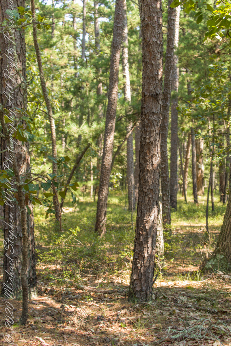
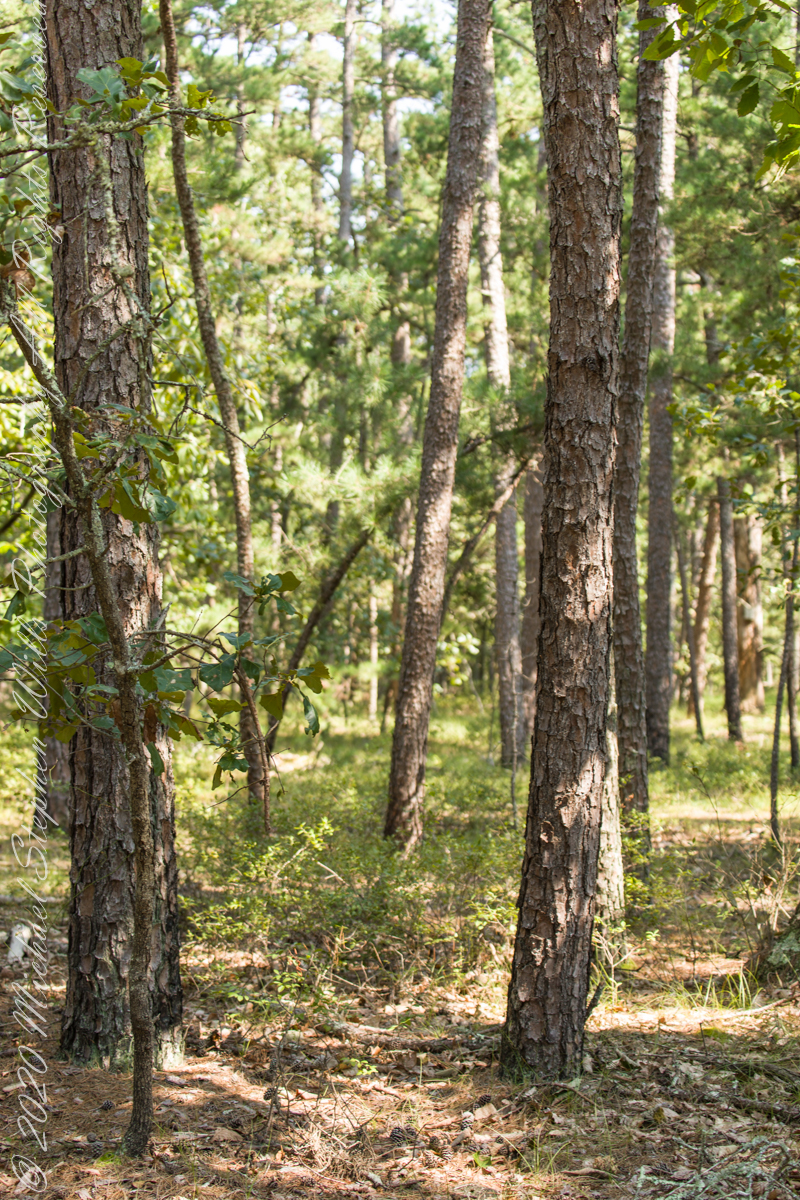
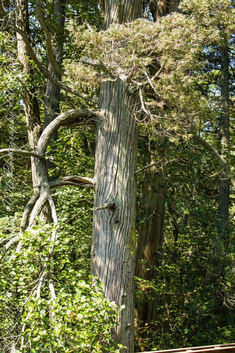
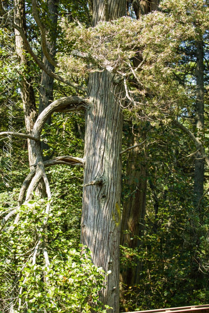
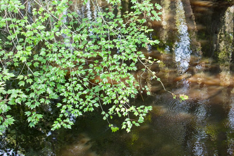
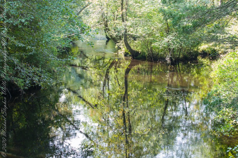
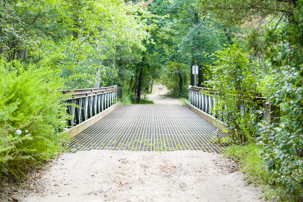
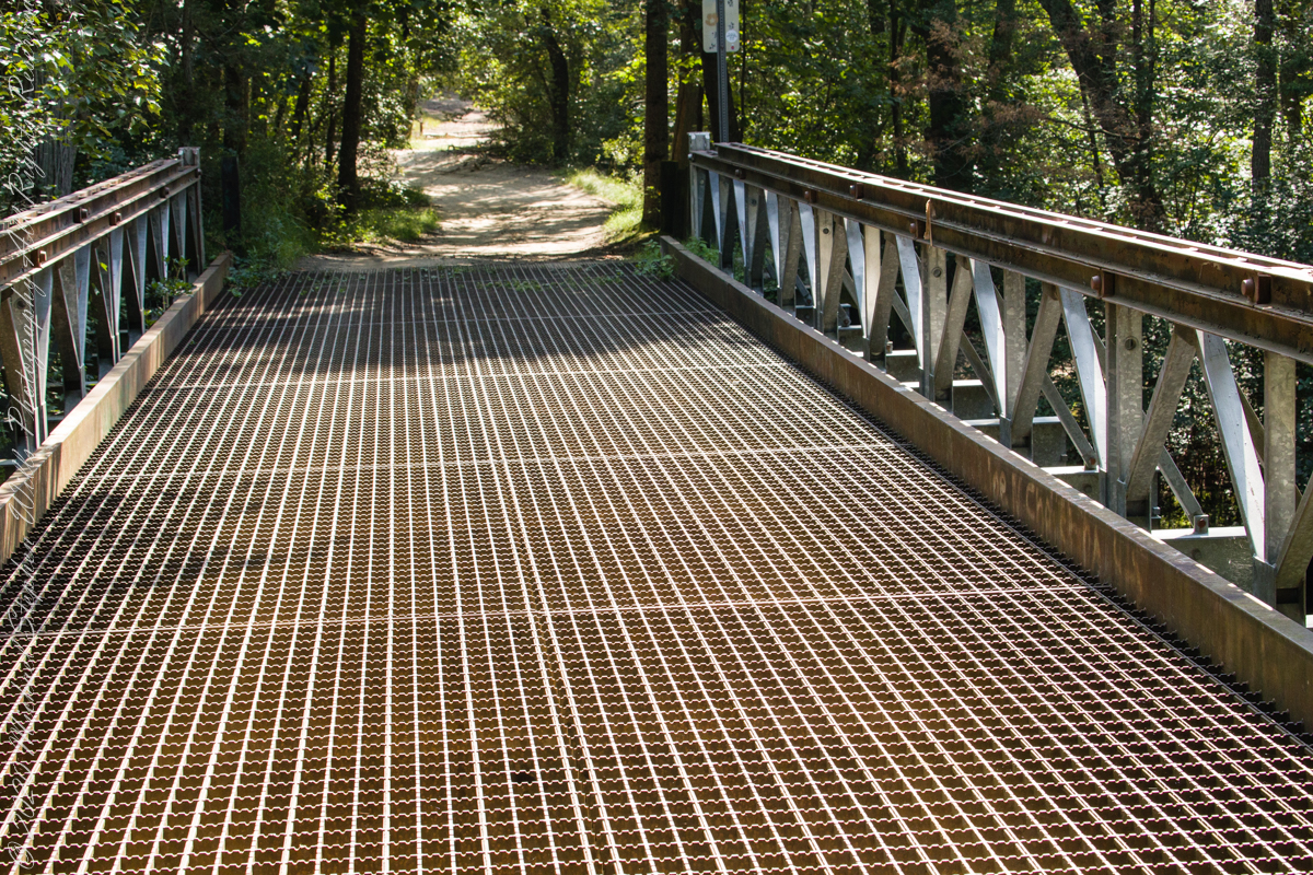
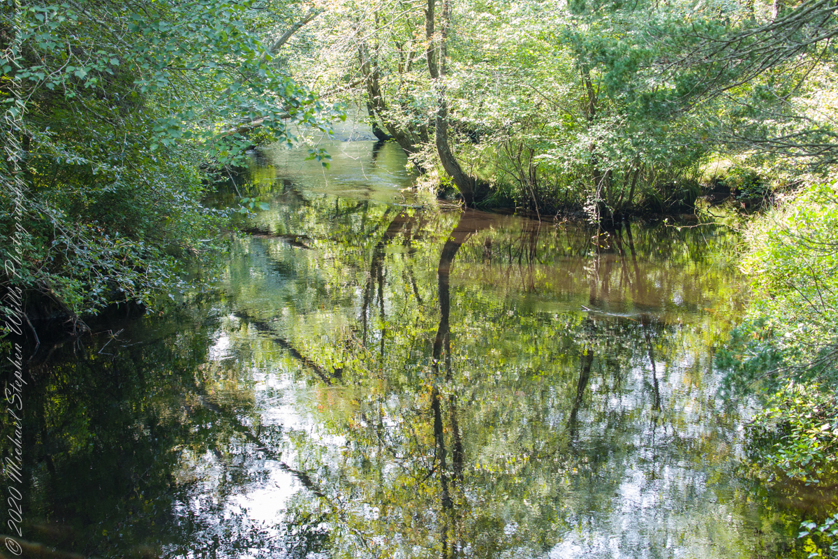
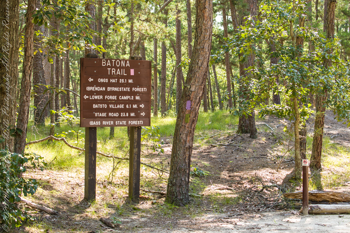
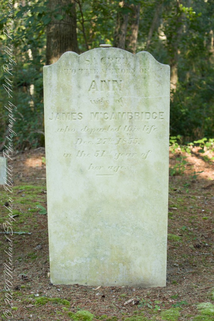
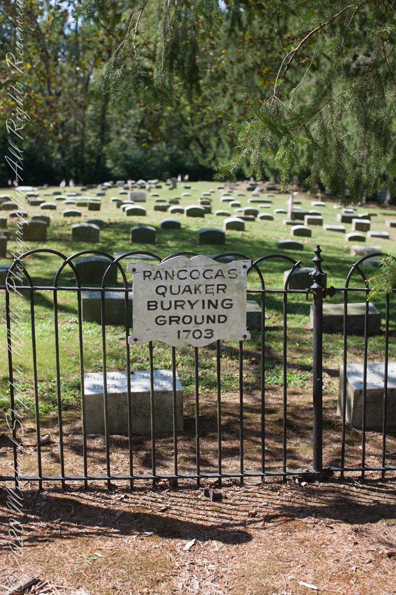
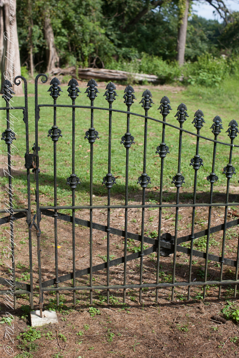
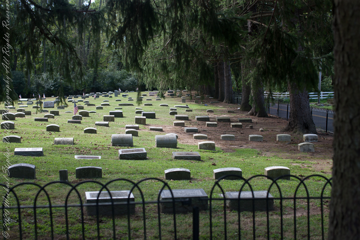
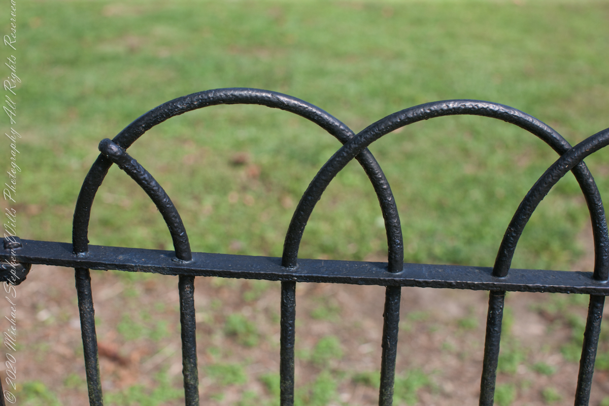
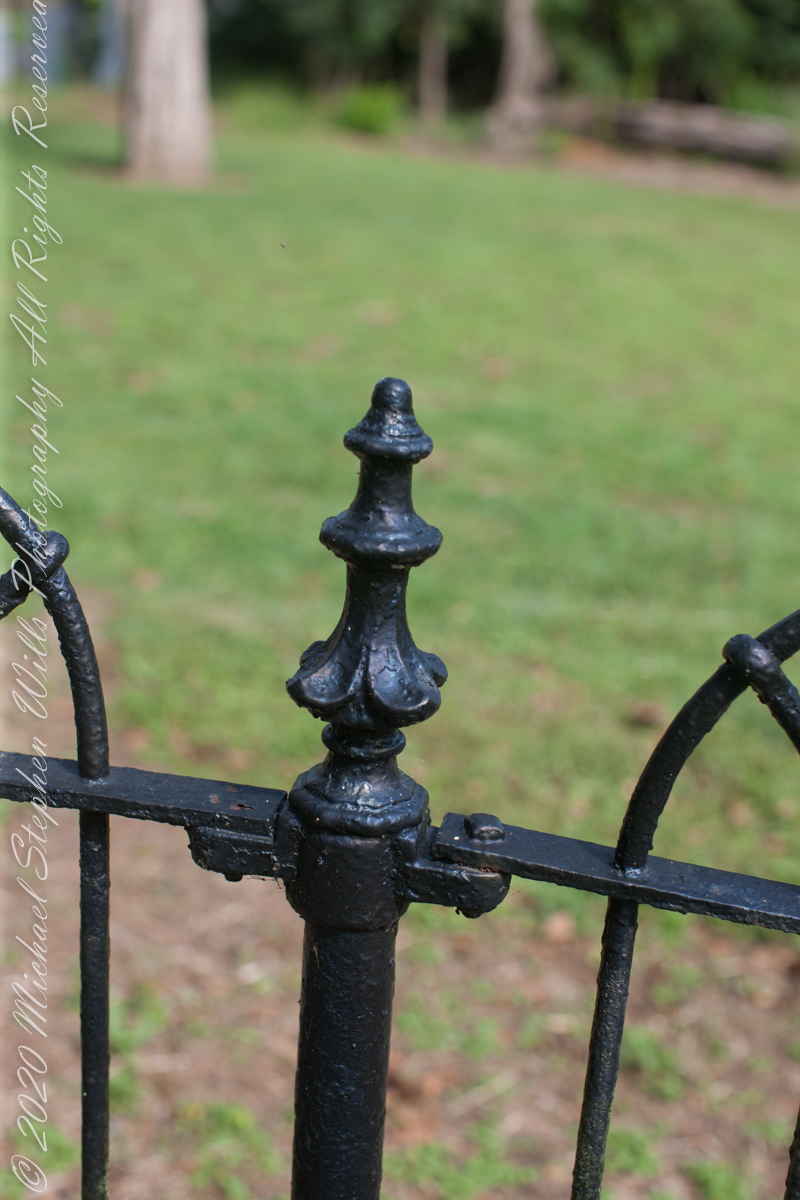
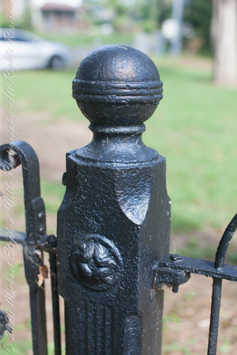
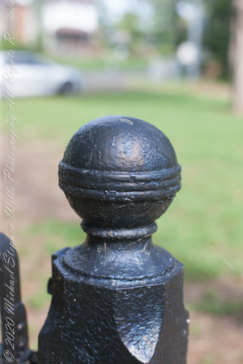
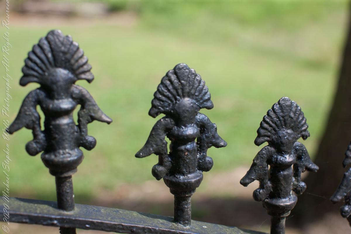
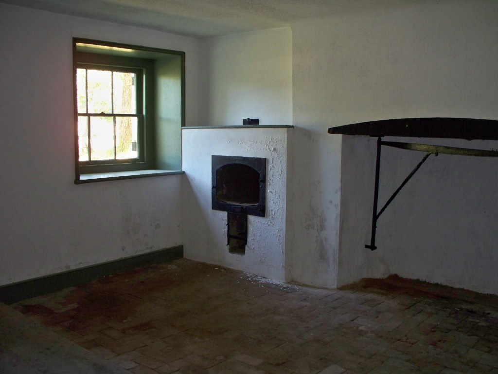
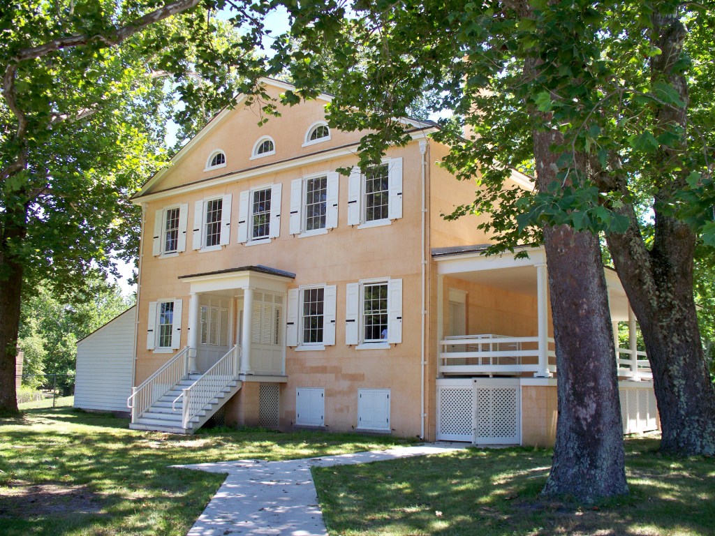
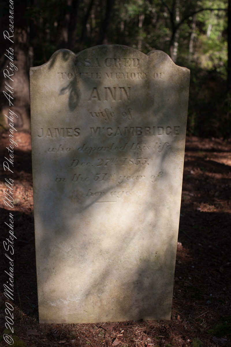
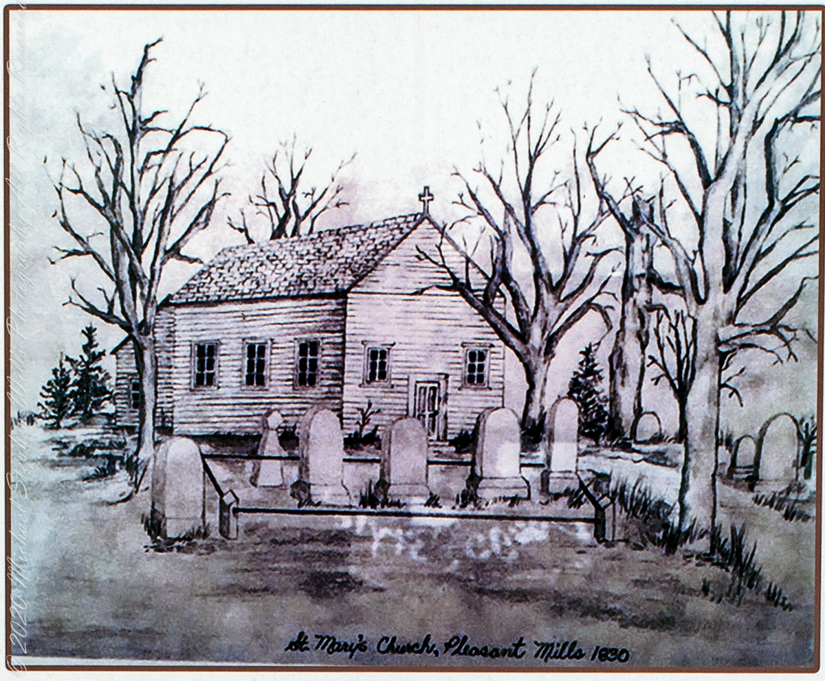
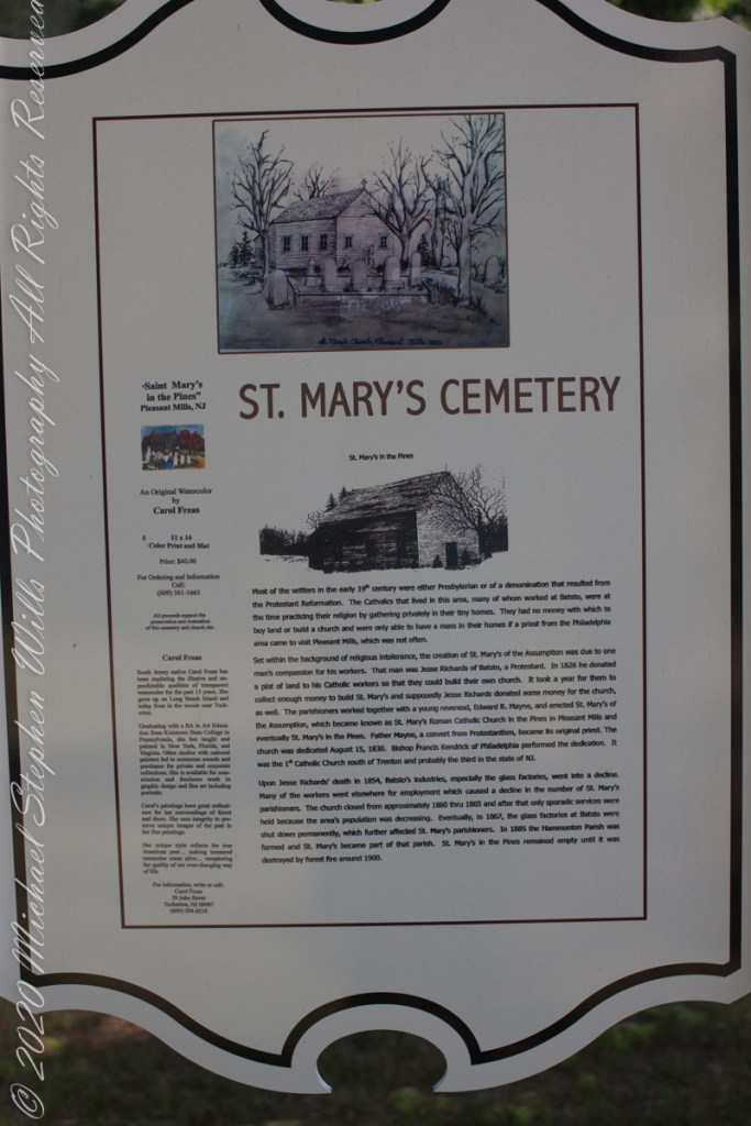
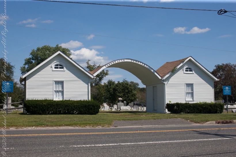
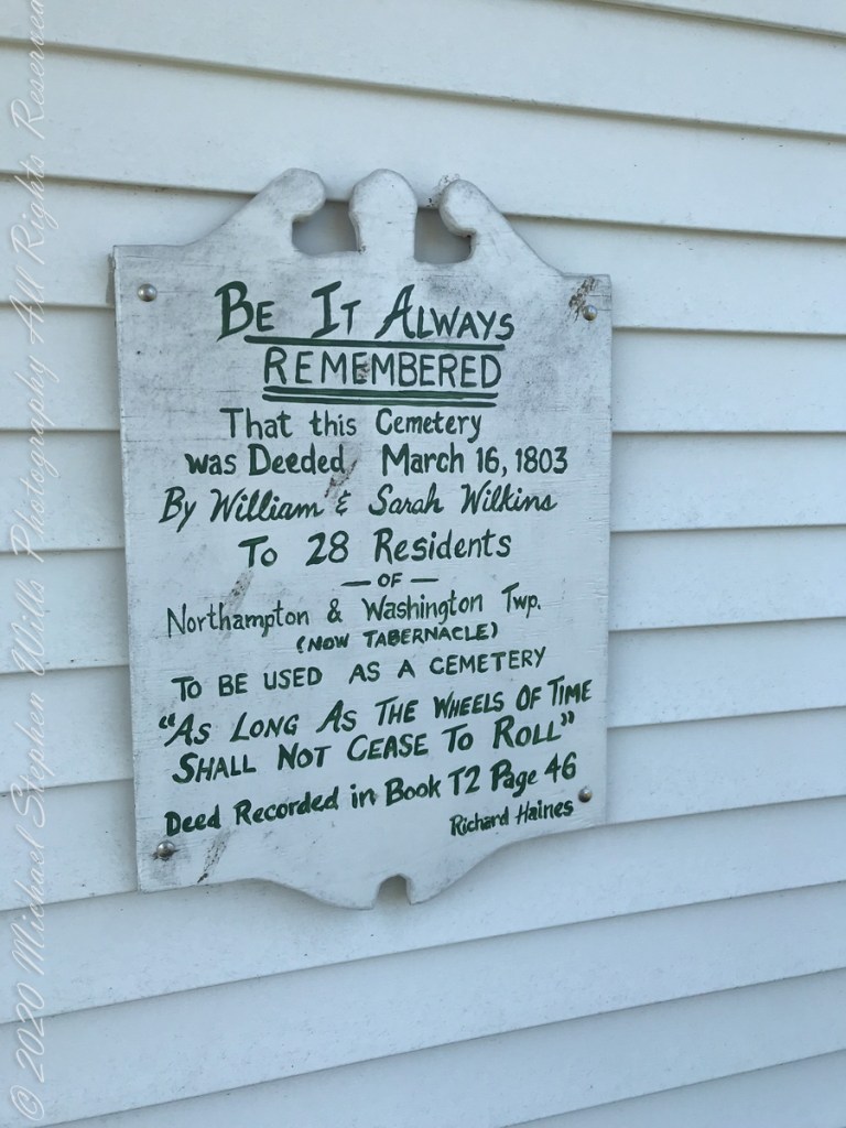
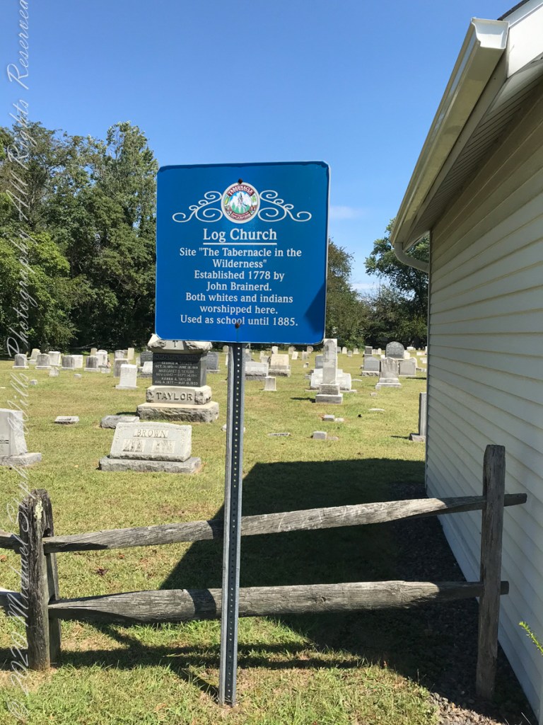
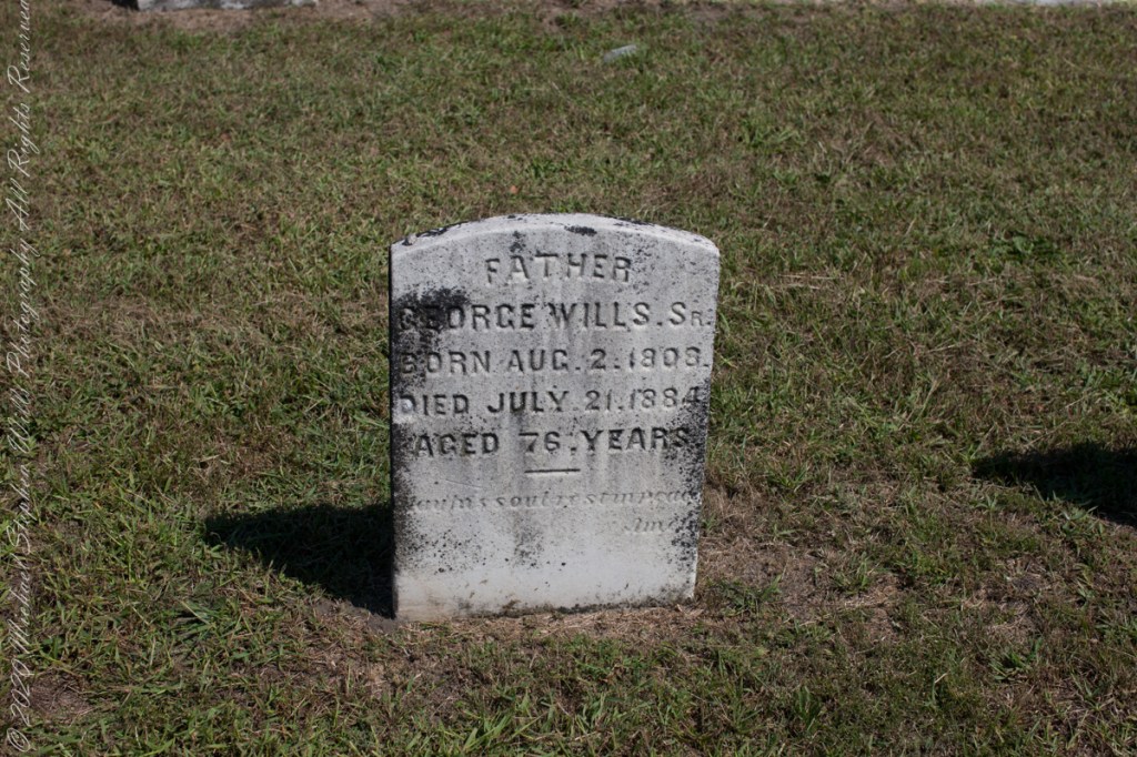
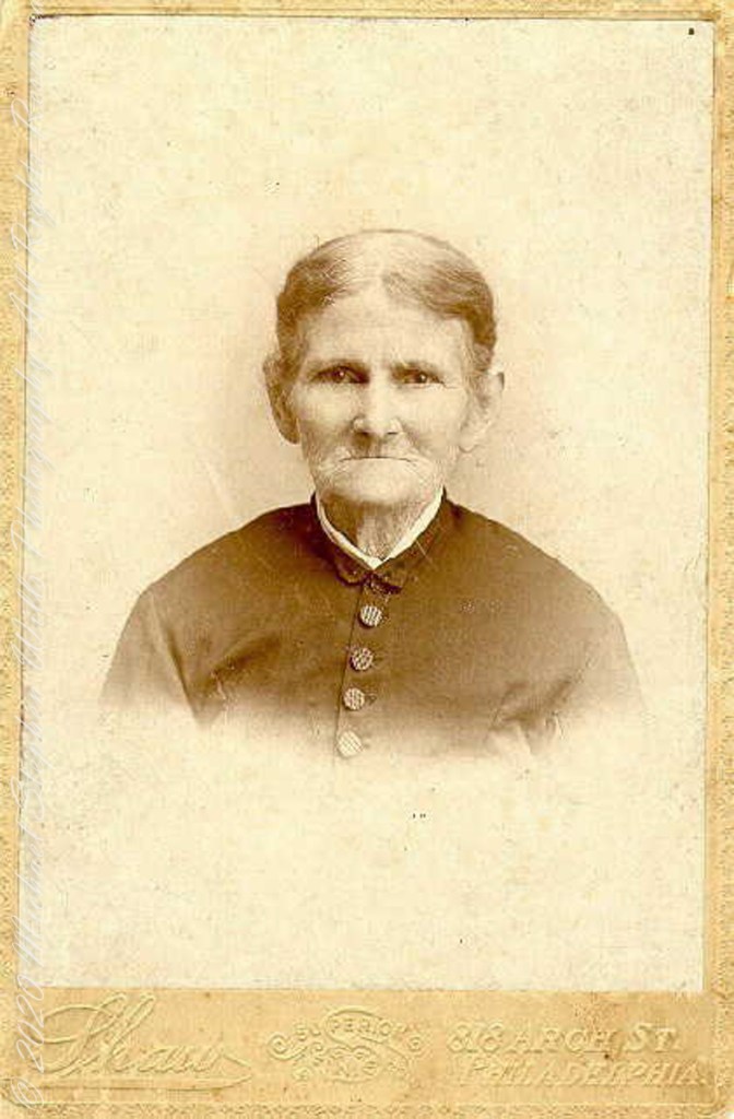
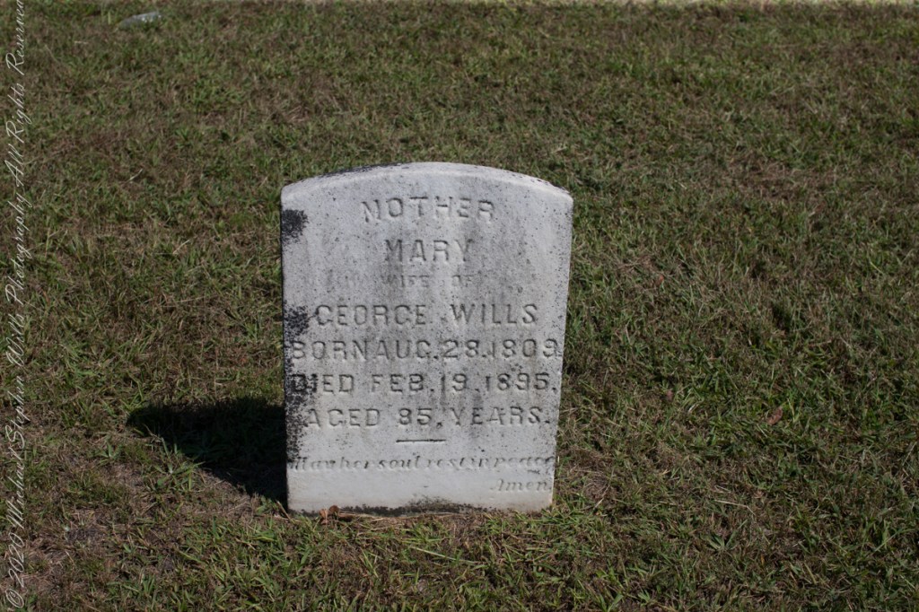
Cousin Delette provided antique photographs of George and Mary. I did a “FindAGrave” search, their final resting place is in a place named Tabernacle, Burlington County, New Jersey. September 2019 my wife Pam and I did a weekend tour with a bed and breakfast base in the city of Burlington, New Jersey. The rest of the photos in the following slideshow are from that weekend.

Here is the same Ancestry “ThruLines” analysis with the immediate family links exploded. through my “first cousin 1 time removed” I was able to communicate with a “lost” niece of my father who shared reminiscences of him from the time he was just released from World War II Naval Service, before meeting Mom.

….Click me for Pineland Connections II.

Copyright 2023 Michael Stephen Wills All Rights Reserved

Around Quaker Bridge III

Poking Around

Multiple trails lead from where Quaker Bridge crosses the Mullica River. These are from a handheld Canon 5d Mark IV with the Canon EF 70 – 300 mm f/4.0-5.6 ISM lens.

Click pic for larger view in a new browser tab. If you are in WordPress Reader, open the post to use this feature.

lll

Copyright 2021 Michael Stephen Wills All Rights Reserved

Around Quaker Bridge II

Poking Around

Multiple trails lead from where Quaker Bridge crosses the Mullica River. These are from a handheld Canon 5d Mark IV with the Canon EF 70 – 300 mm f/4.0-5.6 ISM lens.

Click pic for larger view in a new browser tab. If you are in WordPress Reader, open the post to use this feature.

lll

Copyright 2021 Michael Stephen Wills All Rights Reserved

Around Quaker Bridge I

Poking Around

Multiple trails lead from where Quaker Bridge crosses the Mullica River. These are from a handheld Canon 5d Mark IV with the Canon EF 70 – 300 mm f/4.0-5.6 ISM lens.

Click pic for larger view in a new browser tab. If you are in WordPress Reader, open the post to use this feature.

lll

Copyright 2021 Michael Stephen Wills All Rights Reserved

Cedar Water

“Tree of Life”

In my last Pinelands post, “cedar water” was featured. This post is a exploration of the “cedar” in “cedar water.”

White Cedar, also known as Swamp Cedar, is a water loving tree seen here to the right of Quaker Brider, Wharton State Forest.

Click pic for larger view in a new browser tab. If you are in WordPress Reader, open the post to use this feature.

“Cedar water” is the dark, tea like, flow of Pinelands rivers colored by vegetable tannins.

White Cedar thrives along Pinelands waterways, lending color to the “cedar water.” 18th Century sea captains favored cedar water for long voyages, famours for staying fresh far longer than other waters. Also known as arborvite, “tree of life”, for the medicinal properties of the bark, well known throughout Native America.

Click me for another take (post) on this view.

Copyright 2021 Michael Stephen Wills All Rights Reserved

Mullica River from Quaker Bridge

A rare Pinelands maple tree over the cedar water of Mullica River looking upstream from Quaker Bridge on a warm August morning 2021.

Click pic for larger view in a new browser tab. If you are in WordPress Reader, open the post to use this feature.

Click me for another take (post) on this view.

Copyright 2021 Michael Stephen Wills All Rights Reserved

Pinelands Connections VIII

Ancestral Byways

……continued from “Pinelands Connections VII.

These photographs were taken the last days of August 2021, the 26th and 27th, while exploring Burlington County, New Jersey, with my sister. I will be writing about our Thursday and Friday for awhile, starting with today’s installment.

Quaker Bridge Road traverses the wilderness of Wharton State Forest with a beginning off Route 206, Atsion Mansion. Our planning included Jeep Wrangler rental, only high-clearance 4-wheel vehicles are appropriate, the road surface is humpy sand, water filled holes abound. Still, sitting there at the start, with Atsion Mansion house in view, I waited awhile until a high clearance tour bus packed with adventurers, kayaks passed into the pines and out of sight. We proceeded an uneventful ~4 miles to Quaker Bridge at a stately 5 miles per hour, invoking four-wheel drive low gear a mile or so in.

Here is Quaker Bridge over Mullica River today, facing East.

Quaker Bridge road was a well traveled main route through the Pines for almost a hundred years with an inconvenient crossing of The Mullica at this point. During the year 1774, some sa 1772, West Jersey Quakers travelling to the Little Egg Harbor Yearly Meeting, started “a day early”, built a bridge. From a c.1940 photograph it is clear in that “day” they felled large trees for pilings, smaller trees, pines and cedars, for the other bridge elements. Since then, the crossing has been called “Quaker Bridge.”

Over time, the east side became a resting place, with at least one Inn/Tavern. Here is the east side today.

Even without hospitality and bustling humanity, after 4 miles of dreary road from Atsion this spot carries a sense of lightness, the well spaced straight pines over several acres conveying peace and rest. Over 35 miles from the ocean, the white sand presents as beach. There is a reason for this feeling, a 15 million year reason.

Between 15 and 10 million years ago the earth climate turned colder, so much water evaporated from the oceans to fall as snow and ice in the polar regions ocean levels fell 150 to 250 feet. As the ocean fell away, over eaons, mountains to the west were ground down, pulverized by the elements to flow, gather on the exposed plain. The white “beach” sand we see today, at Quaker Bridge and other Pinelands places, are surfaces of this “Cohansey” sands and clay ranging in thickness from 25 feet in the west to more than 300 feet at the Atlantic Ocean.

Over millions of years the land raised to become the drainage patterns we see today. The renewable resources of “bog iron” and water spring from this history.

Standing there I imagined Great Great Grandmother Ann (Milley) McCambridge resting on the journey from the McCambridge home near Speedwell. I placed the pebble, collected from Long Island Sound, on Grandmother Ann’s headstone the evening of August 26th. Click this link for more about Ann McCambridge.

Reference
I found Quaker Bridge background in “Heart of the Pines, ghostly voices of the Pine Barrens” by John E. Pearce, pp 748 – 750, Batsto Citizens Committee, 4110 Nesco Road, Hammonton, N.J. 08037-3814.

“The Geologic History of New Jersey’s Landscape”, Scott Stanford, Unearthing New Jersey Newsletter, Vol. 1, No. 2, Summer 2005, New Jersey Geological Survey, Department of Environmental Protection e, Scott Stanford

“Hydrostratigraphy of the Kirkwood and Cohansey Formations of Miocene Age in Atlantic County and Vicinity, New Jersey,” Peter J. Sugarman, 2001, New Jersey Geological Survey Report GSR 40, New Jersey Department of Environmental Protection

“Background information on the Cohansey Formation aquifer.”

Copyright 2021 Michael Stephen Wills All Rights Reserved

Pinelands Connections VII

Buttonwood Hill Tavern and the Old Eagle Inn

……continued from “Pinelands Connections VI.

I am happy to share a breakthrough in my family research of our time in Western New Jersey, 225 years for my branch from the 1677 landing of the Kent on Rancocas Creek until my grandfather left for Asbury Park.

In this rectangle (10 miles by 15 miles) taken from the 1900 US Geological Survey, Rancocas Quadrangle, New Jersey topographic map is shown, upper right hand corner, Apple Pie Hill the starting point of this history where the author John McFee climbed the fire watchtower there, a view encompassing endless acres of pines. I learned an ancestor, third great-grandfather James McCambridge and his wife Mary owned the Old Eagle Tavern less than two miles south of there. The site is marked in red.

The Eagle Tavern existed for 28 years under various owners and names when James and Mary took over in 1926 serving a clientele, workers and visitors, from the struggling Speedwell Ironworks. Samuel Richards was a brother of Jessie Richards who owned the Batsto Ironworks and who provided the land for St. Mary of the Assumption (see my post Pineland Connections V). St. Mary’s is marked in red, bottom center. Samuel purchased Speedwell December 23, 1833 from Ann Randolph, made improvements and started operations without success before closing for good.

On June 30, 1850, James McCambridge purchased Speedwell from the estate, eight years after Samuel’s passing, for $1,750. At this time he had accumulated over 2,000 acres. In this same year his son, James and wife Ann (Milley) (see my post Pineland connections VI) are listed on the US Census. The family lived either in the Eagle Hotel or close by raising nine (9) children: John (20), Mary Ann (16), James (15), Sarah Jane (14), my great grandmother Margaret (11), William (8), George (6), Edward (5) and Catherine (3). The younger James is employment was making charcoal for the ironworks, most likely for Atsion where Ann was employed. By the 1860 US Census Ann had passed away at the age of 50 and James (97) was living with the younger James and family.

Here is a land ownership map from 1876 on which I marked with red asterisks James McCambridge, Apple Pie Hill, and the Delletts, the family of the second greatgrandmother, Mary Dellett. Dellett landownership is also indicated on the rectangle topographic map.

Around the 1850 US census George and Mary Wills lost their two month old son, Charles (See my post Pineland Connections III) who is buried in a family cemetery, land owned by James McCambridge marked in red on the rectangle topographic map. Charles was my greatUncle.

Another breakthrough was identification of the Buttonwood Hill Tavern, Crowleytown as the hotel run by George Wills on the 1850 census. Marked in red on the rectangle topographic map. There was not yet a family union between McCambridge and Wills. That would come with great grandparents George Wills and Margaret McCambridge. The family connection at this time was their shared Roman Catholic faith and Saint Mary of the Assumption church.

Reference
I found this information in the book “Heart of the Pines, ghostly voices of the Pine Barrens” by John E. Pearce, Batsto Citizens Committee, 4110 Nesco Road, Hammonton, N.J. 08037-3814.

Copyright 2021 Michael Stephen Wills All Rights Reserved

Pinelands Connections VI

Running the numbers

……continued from “Pinelands Connections I.

Genealogy is a numbers game, in part. Looking back from myself the number of progenitors increase by the formula x = 2^y (2 raised to the y power) where y is the number of generations back. Generation one (my parents) is 2^1 = 2. We have 2^4 = 16 double great grandparents, 8 pairs. Four pairs on my father’s side, four pairs on my mother’s. Saint Mary of the Assumption Cemetery contains one pair of my father’s side, James McCambridge and Ann Milley. The cemetery in Tabernacle contains the other, George Wills and Mary Dellett.

A dry ledger entry reveals a side of Great, great grandmother Ann McCambridge (Milley). The wife of James McCambridge had, under her own name, a savings account with the Philadelphia Saving Fund Society. Ann was a forward thinker to invest in this, the first savings institution of the United States, in the twentieth year of its existence. Work outside the home, as a cook, was her source of funding. We can also infer from the ledger information Ann’s employer was Atison furnace.

Times were prosperous in Atsion. Thomas Gordon, in his Gazetteer of the State of New Jersey, tells of the size and scope of the works at Atsion in 1834:

Atsion, post-town and furnace, on the Atsion River, partly in Galloway Township, Gloucester County, probably in Washington Township, Burlington County, 9 miles above the head of navigation, 12 miles from Medford, 17 from Mount Holly, on the road leading to Tuckerton, and 57 from Trenton. Besides the furnace, there are here, a forge, gristmill, and three sawmills. The furnace makes from 800 to 900 tons of casting, and the forge from 150 to 200 tons of bar iron annually. This estate, belonging to Samuel Richards, Esq., embraces what was formerly called Hampton furnace and forge, and West’s Mills, and contains about 60,000 acres of land. There are about 100 men employed here, and between 6 and 700 persons depending for sustenance upon the works.

Nineteen years later, Ann passed away two days after Christmas at the young age of 51, her savings may have provided for the elaborate headstone inscription. She left her husband of twenty six years and nine children, the family is listed below with ages from the 1850 U.S. census. Her fifth child, Margaret, my great-grandmother, was sixteen at Ann’s death. The youngest, Catherine, was eight.

James McCambridge Age 44

Ann McCambridge Age 44

John McCambridge Age 20

Mary Ann McCambridge Age 16

James McCambridge Age 15

Sarah Jane McCambridge Age 14

Margaret McCambridge Age 11

William McCambridge Age 8

George McCambridge Age 6

Edward McCambridge Age 5

Catherine McCambridge Age 3

James McCambridge and Ann Milley were born the same year, 1805, in or near the Pinelands. The married at the age of twenty two, February 25, 1829. A son, John, was born 18 months later, August 7, 1830. In 1850 James supported his wife and nine children as a “collier”, producing charcoal for the furnaces. He lived on for 31 years with their children.

From Bog Iron “ironmasters of the Pine Barrens made cannonballs by the thousand and sent them by wagon over the sand roads and on to the Continental Army at Valley Forge and elsewhere. They brought in seashells for flux, and used charcoal from the pinewoods to fire their forges and furnaces. They made cannon as well as shot, and they ordnance the War of 1812 as well as the American Revolution. The twenty-four-pounders (cannons) with which Stephen Decatur armed his flagship when he took his Marines to Algiers, Tunisia, and Tripoli were cast at Hanover Furnace (later named Atsion),in the Pine Barrens, in 1814, and Decatur himself were there to supervise the casting and test the product……Ironworkers in the pines made the steam cylinder for one of John Fitch’s experimental steamboats, and they made the wrought-iron fence that once surrounded Independence Hall….Iron stoves that bear the town name Atsion over their fuelling doors were made in a community that had a population of seven hundred in the early nineteenth century and has a population of fifteen today.” from “The Pine Barrens” by John McPhee, November 25, 1967.

References

Atsion Furnace https://www.njpinebarrens.com/atsion-part-2-prosperity-and-decline/

Philadelphia Saving Fund Society Encyclopedia of Greater Philadelphia | PSFS (philadelphiaencyclopedia.org)

Copyright 2021 Michael Stephen Wills All Rights Reserved

Pinelands Connections V

Saint Mary’s of the Pines (St. Mary of the Assumption)

……continued from “Pinelands Connections I.

The Pinelands chemical reactions / iron furnaces of Part III are elements of the warp and weft of our family’s story. Saint Mary Assumption (“Saint Mary’s of the Pine”) Roman Catholic church was another. Family members comprise 60% (60 percent) of the burials, comprising these family names: Dellett (see Pinelands Connections I), Milley, Wills, McCambridge.

“Most of the settlers in the early 19th century were either Presbyterian or of a denomination that resulted from the Protestant Reformation. The Catholics that lived in this area, many of whom worked at Batsto, were at the time practicing their religion by gathering privately in their tiny homes. They had no money with which to buy land or build a church and were only able to have a mass in their homes if a priest from the Philadelphia area came to visit Pleasant Mills, which was not often. Set within the background of religious intolerance, the creation of St. Mary’s of the Assumption was due to one man’s compassion for his workers. That man was Jesse Richards of Batsto, a Protestant. In 1826 he donated a plot of land to his Catholic workers so that they could build their own church. It took a year for them to collect enough money to build St. Mary’s and supposedly Jesse Richards donated some money for the church, as well. The parishioners worked together with a young reverend, Edward R. Mayne, and erected St. Mary’s of the Assumption, which became known as St. Mary’s Roman Catholic Church in the Pines in Pleasant Mills and eventually St. Mary’s in the Pines. Father Mayne, a convert from Protestantism, became its original priest. The church was dedicated August 15, 1830. Bishop Francis Kendrick of Philadelphia performed the dedication. It was the first Catholic Church south of Trenton and probably the third in the state of New Jersey. Upon Jesse Richards’ death in 1854, Batsto’s industries, especially the glass factories, went into a decline. Many of the workers went elsewhere for employment which caused a decline in the number of St. Mary’s parishioners. The church closed from approximately 1860 through 1865 and after that only sporadic services were held because the area’s population was decreasing. Eventually, in 1867, the glass factories at Batsto were shut down permanently, which further affected St. Mary’s parishioners. In 1885, the Hammonton Parish was formed and St. Mary’s became part of that parish. St. Mary’s in the Pines remained empty until it was destroyed by forest fire around 1900.” From the sign “St. Mary’s Cemetery, St. Mary’s in the Pines”).

The historical sign includes an offer in support of the preservation and restoration of the cemetery and church site. An original water color (pictured above) by Carol Freas, 11×14 color print and mat, Price $40.00. For information, write or call Carol Freas, 39 John Street, Tuckerton, NJ 08087 (609) 294-0218

Copyright 2021 Michael Stephen Wills All Rights Reserved