Click this link for my Online gallery
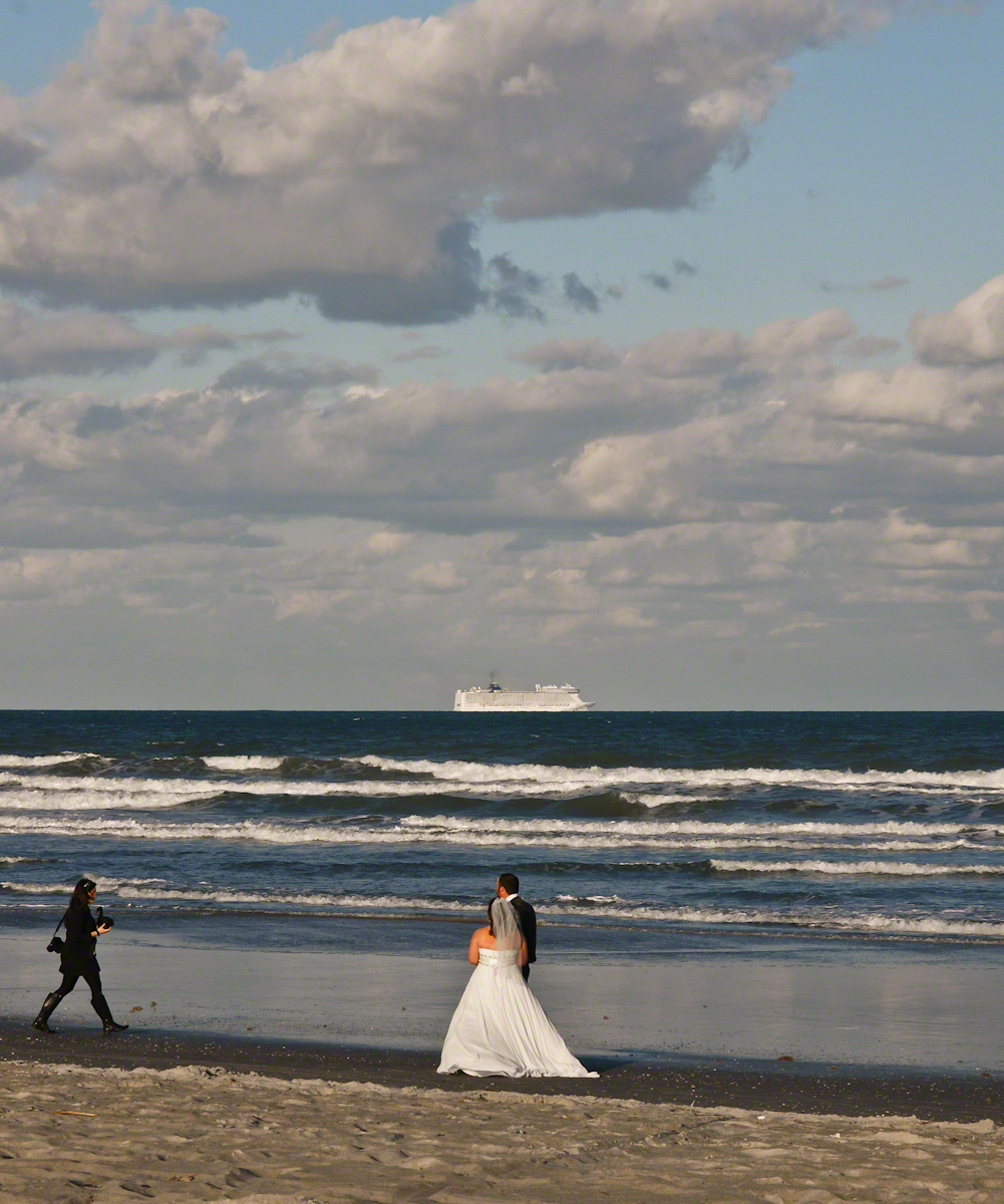
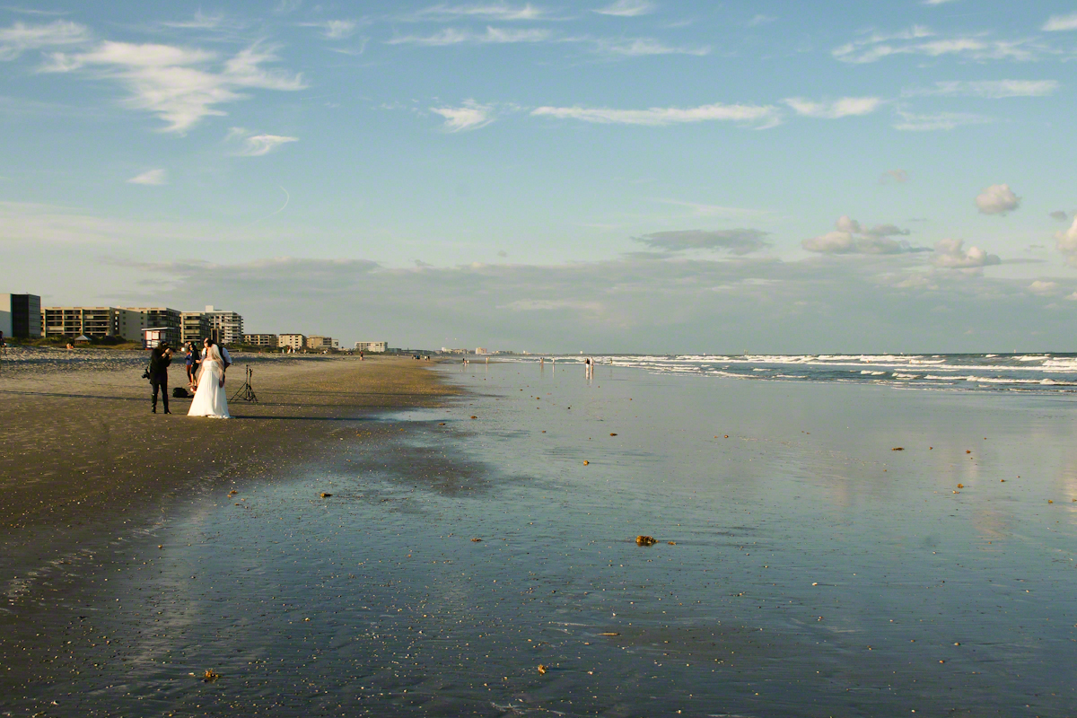
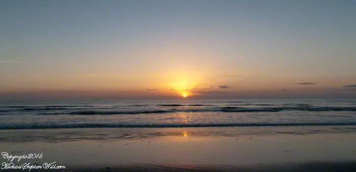
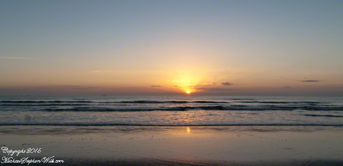
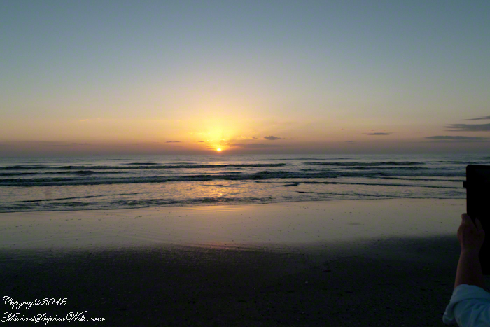
Cocoa Beach, nestled in Brevard County, Florida, is renowned for its pristine sandy shores and the rhythmic lullaby of the Atlantic Ocean. It’s a place where the day often begins with an awe-inspiring sunrise. On the Space Coast, the first light of day is a daily masterpiece, a silent symphony of colors that paints the sky and reflects off the water.
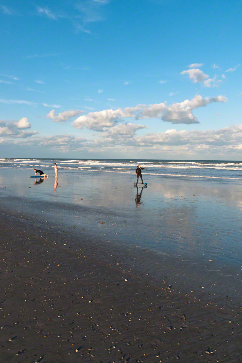
As dawn approaches, the eastern horizon begins to glow with a soft, pre-dawn light. This quiet time, when the world is still asleep, offers a unique tranquility. The beach, usually bustling with surfers, sunbathers, and families, is calm and serene. The sand, cool underfoot, stretches out like a vast canvas, waiting for the sun to begin its artwork.
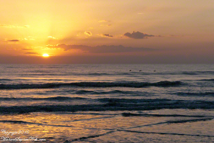
The first hues of sunrise start as a gentle blush, a hint of pink that softly caresses the sky. As the moments pass, this blush deepens into shades of orange and red, reminiscent of a painter’s palette. The ocean mirrors these colors, creating a breathtaking scene where sky and sea blend into one continuous expanse. It’s a moment that feels almost sacred, as if nature itself is preparing for a grand reveal.
The sun finally peeks above the horizon, a fiery orb that illuminates the world in golden light. This is the crescendo of the sunrise, a moment that seems to hold the breath of the world. The rays of light stretch out across the water, casting a shimmering path that invites the eyes to follow. It’s a path that feels both real and ethereal, leading not just across the sea, but into a day full of possibilities.
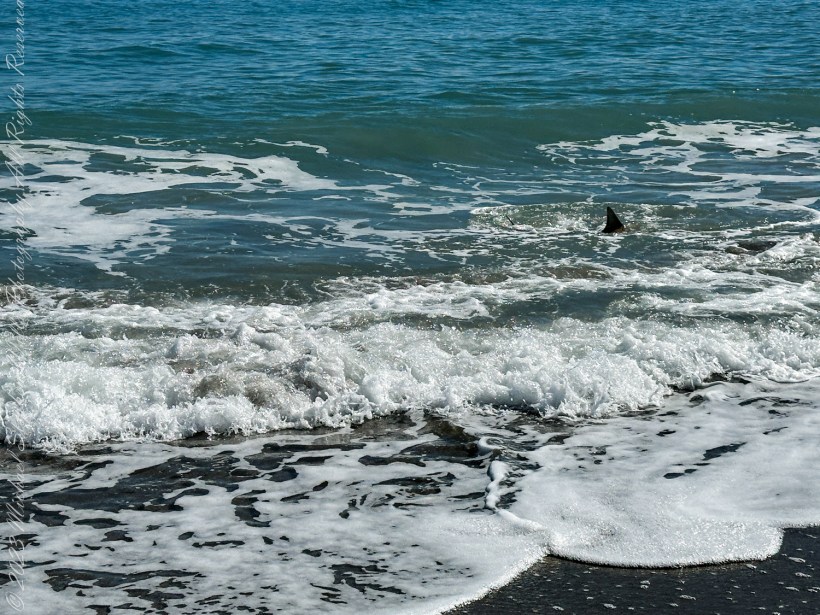
As the sun rises higher, the colors in the sky shift and change. The deep reds and oranges give way to softer yellows and then to the clear, bright light of morning. The ocean, too, transforms, taking on a deeper blue as the sunlight penetrates its depths. The waves, which had been gentle ripples in the pre-dawn light, now dance and sparkle, as if celebrating the arrival of the new day.
For those fortunate enough to witness it, a sunrise at Cocoa Beach engages all the senses. The cool breeze carries the fresh scent of saltwater, a reminder of the ocean’s vastness and power. The sound of the waves, steady and rhythmic, provides a soothing background score, while the occasional cry of a seabird adds a touch of the wild to the scene.
Click on a photo for a closer look.


There is a sense of community among the early risers who gather to watch the sunrise. Strangers often share nods and smiles, united by the shared experience of witnessing something so beautiful and ephemeral. It’s a reminder that, no matter our differences, moments of natural beauty can bring people together, fostering a sense of connection and shared humanity.
Cocoa Beach, known for its proximity to the Kennedy Space Center and its surf culture, offers much more than meets the eye. The sunrise is a daily reminder of the simple yet profound beauty of nature, a beauty that exists beyond the man-made attractions and the hustle and bustle of everyday life. It’s a call to pause, reflect, and appreciate the world around us.
In a place where rockets soar into the sky, touching the very edge of space, the sunrise at Cocoa Beach brings us back to Earth, grounding us in the timeless rhythm of the natural world. It’s a moment of peace and renewal, a gift from the universe to start the day with a heart full of wonder and gratitude.
So, whether you’re a local or a visitor, taking the time to watch the sunrise at Cocoa Beach is an experience not to be missed. It’s a chance to witness the world waking up, to feel a part of something larger than oneself, and to start the day with a renewed sense of awe and possibility.