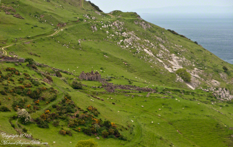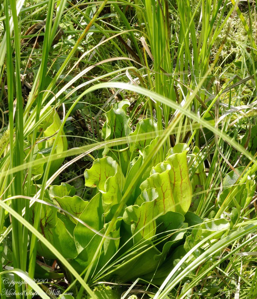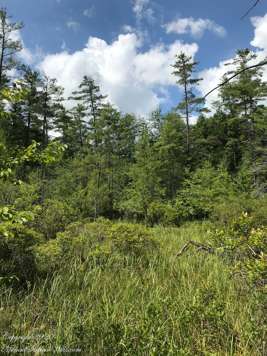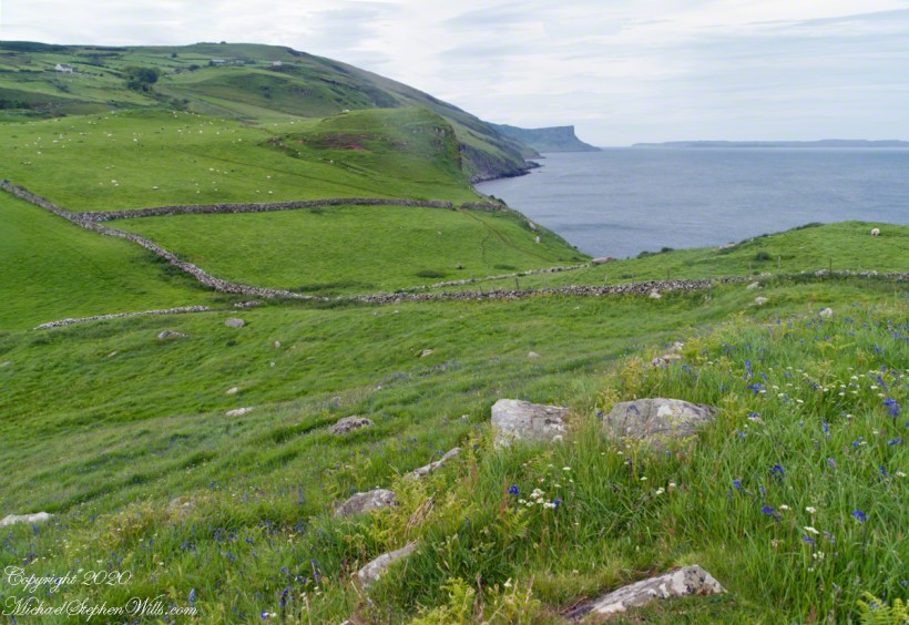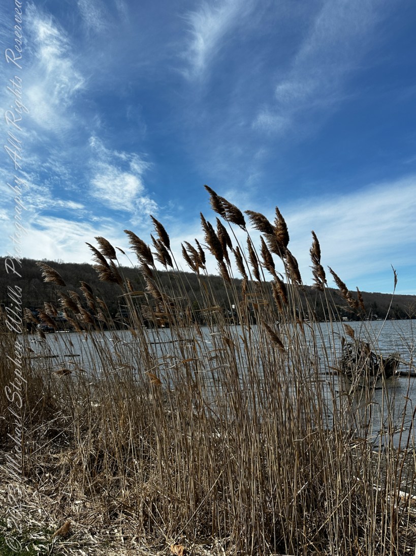
On the southern shore of Cayuga Lake, where waters mirror the ever-changing sky, I found this common reed, Phragmites australis, a plant of unassuming grace yet profound influence. This tale unfolds at the broad boarders of earth and water, a refuge and kingdom to countless beings.

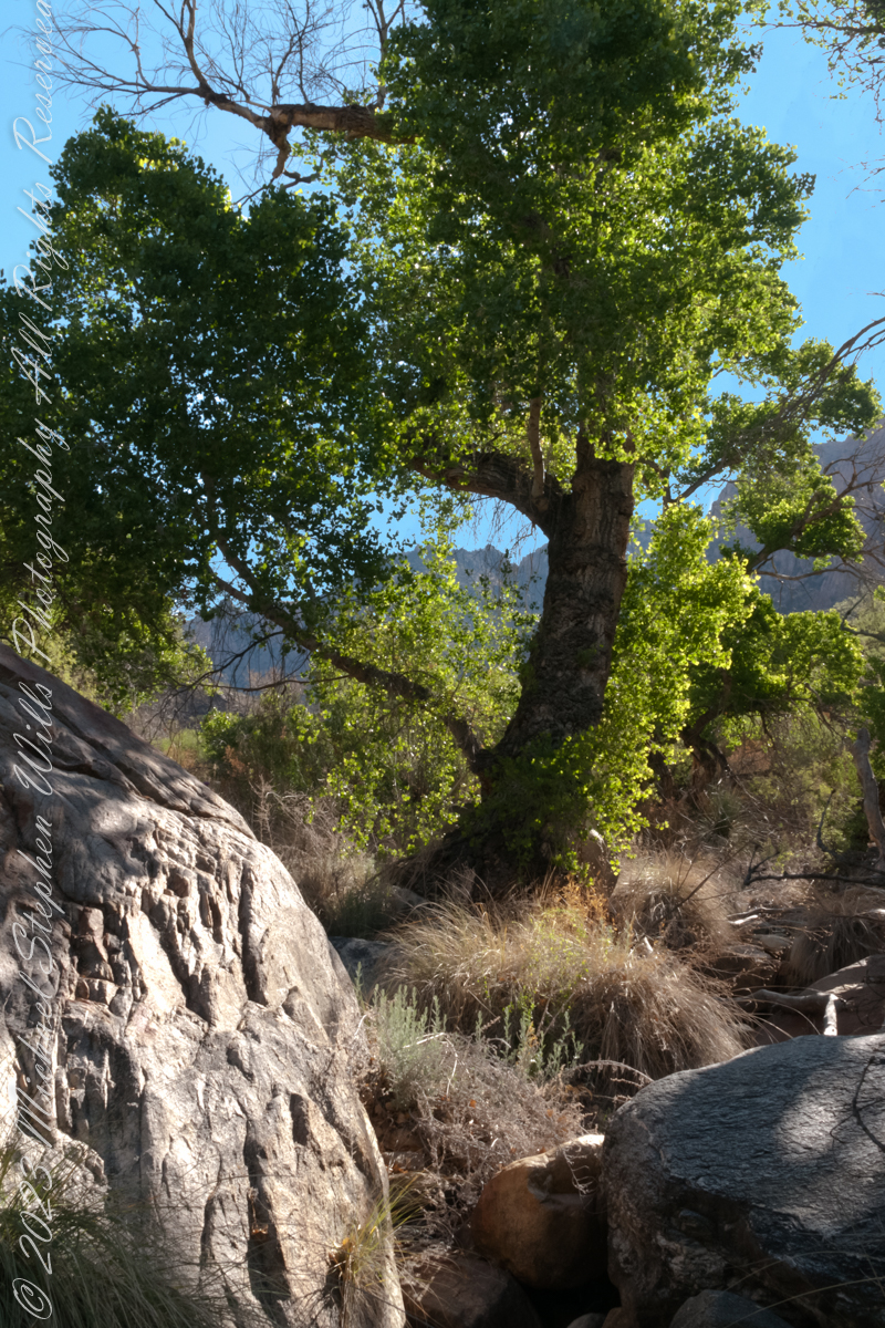
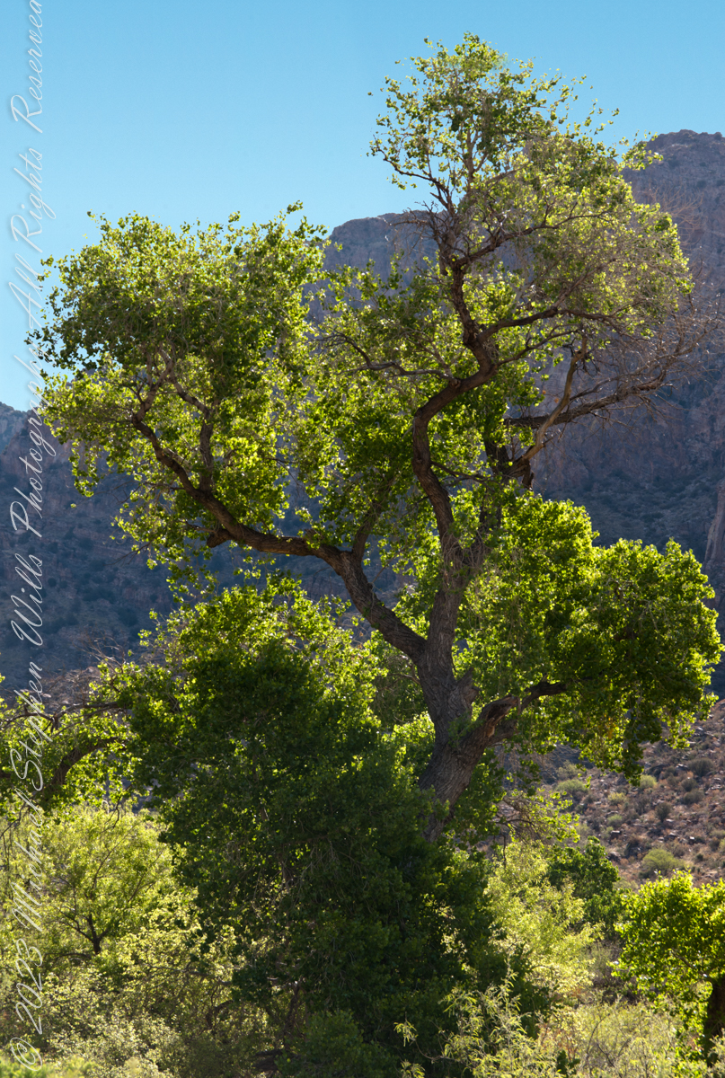
Phragmites australis, a reed both simple and complex, begins its journey as a whisper in the mud. From the soft, fertile earth, it bursts forth into the world, a slender shoot reaching for the heavens. Its growth is steady and assured, fueled by the sun’s embrace and the water’s caress. In time, it stands tall, a sentinel in a sea of green, its feathery plumes, called panicles, wafted by the breeze.
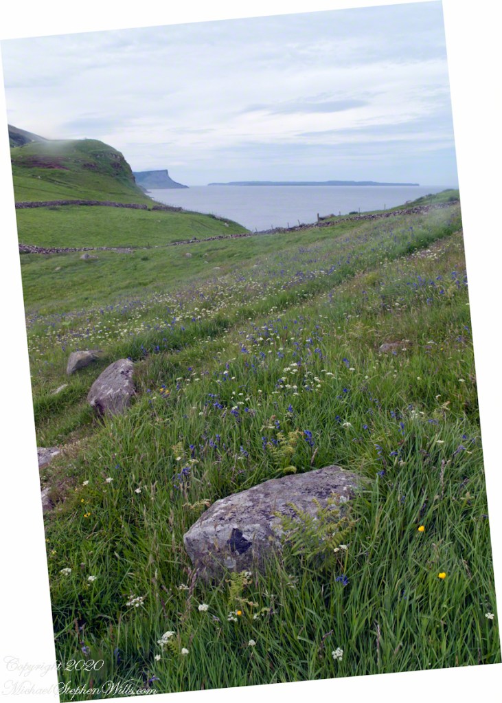
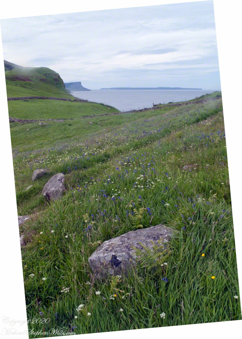
This reed, you see, is a cornerstone of its ecosystem, a master architect, shaping its environment, crafting homes and havens for creatures great and small, in keeping with the genus name “Phragmites.” The Greek word “phragma” translates to “fence” or “hedge”, derived from the verb “phrassein”, meaning “to enclose.” Within that realm tiny creatures find refuge. From dragonflies and damselflies to grasshoppers and beetles are found by careful, patient observers. Insects play essential roles in pollination and nutrient cycling. Birds use the dense vegetation for shelter and foraging, you might find red-winged blackbirds, marsh wrens, and rails among the stems. Frogs, toads, and salamanders find refuge in reedy marshes. They lay their eggs in the waterlogged areas, and their tadpoles thrive amidst the reed stems. Phragmites australis is a giver of life, a source of sustenance and protection for many.
Yet, the tale of Phragmites is also one of struggle and resilience. In lands far from its native soil, it is often seen as an invader, a usurper of territories, spreading with a zeal that can overwhelm native flora and alter habitats. Its spread, unchecked, can lead to monocultures, diminishing biodiversity. But in its essence, Phragmites does not seek conquest but survival, thriving in spaces both gentle and harsh, adapting with an elegance that commands admiration.
As seasons turn, the reed undergoes a transformation, its green turning to gold, then to the brown of the earth from which it sprang. But even in decay, it nurtures life, its fallen stalks a shelter for the small and the silent, its seeds a promise of renewal. And when spring whispers anew, Phragmites rises once more, a cycle unbroken, a circle complete.

In the tale of Phragmites australis, we find a narrative of life itself—growth and decay, beauty and conflict, resilience and adaptation. This common reed, standing tall among the waters of the world, is a testament to the enduring power of nature, a reminder of the intricate tapestries of life that flourish in the quiet corners of our planet.