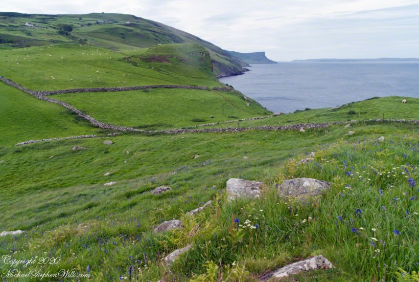
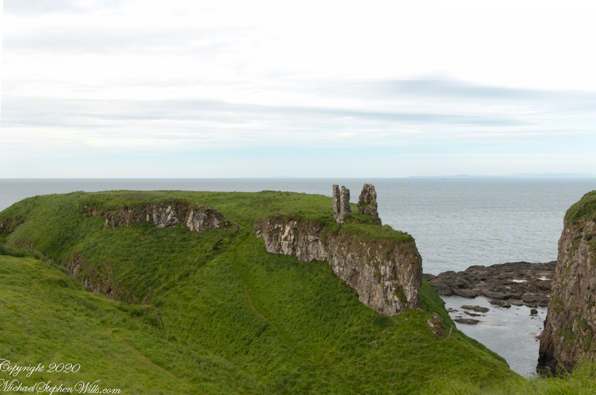
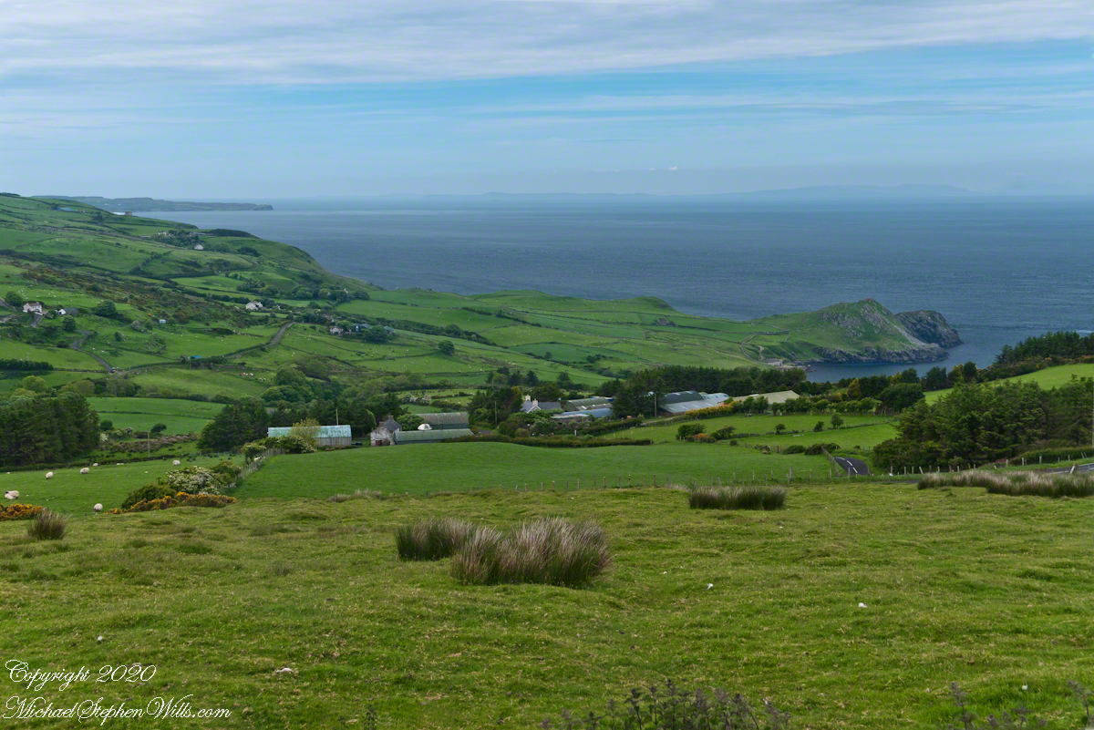
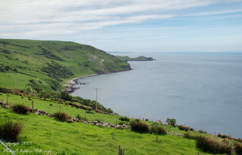
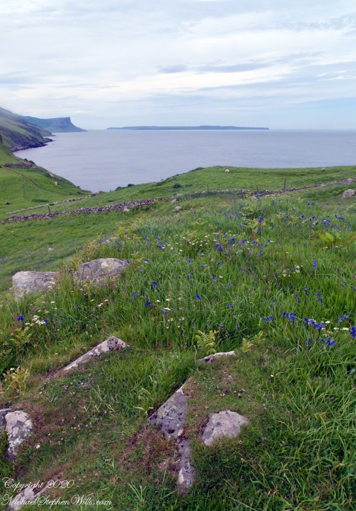
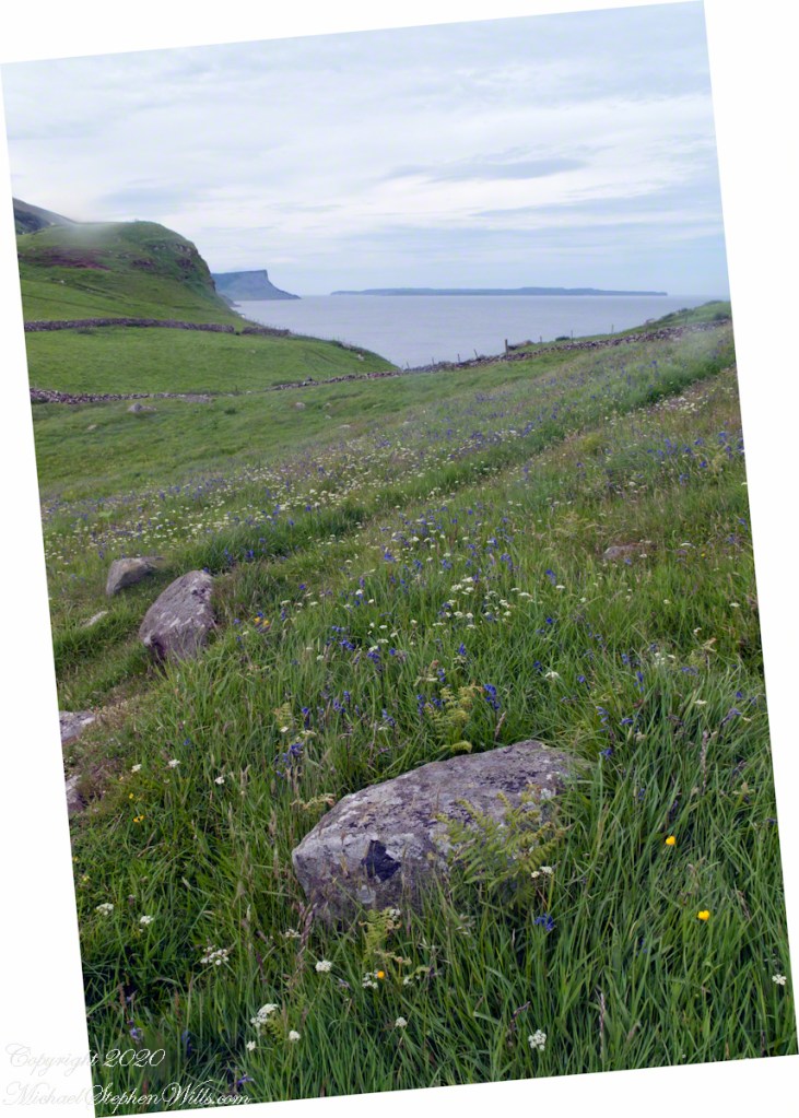
A grand view presents itself throughout the roll down Torcorr into Coolranny townland. Loughan is a shallow bay along the North Channel of the Irish Sea, a rocky sand beach is accessible via a slope shallower than the cliffs on either side. This access is a reason for the tiny rural community on the slope above, now a site of ruined cottages, abandoned during the emigration from Ireland, a flight continuing into the Twentieth Century.
Click photograph for a larger view. To do this from WordPress Reader, you need to first click the title of this post to open a new page.

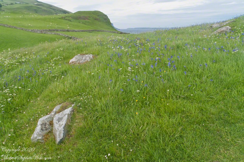
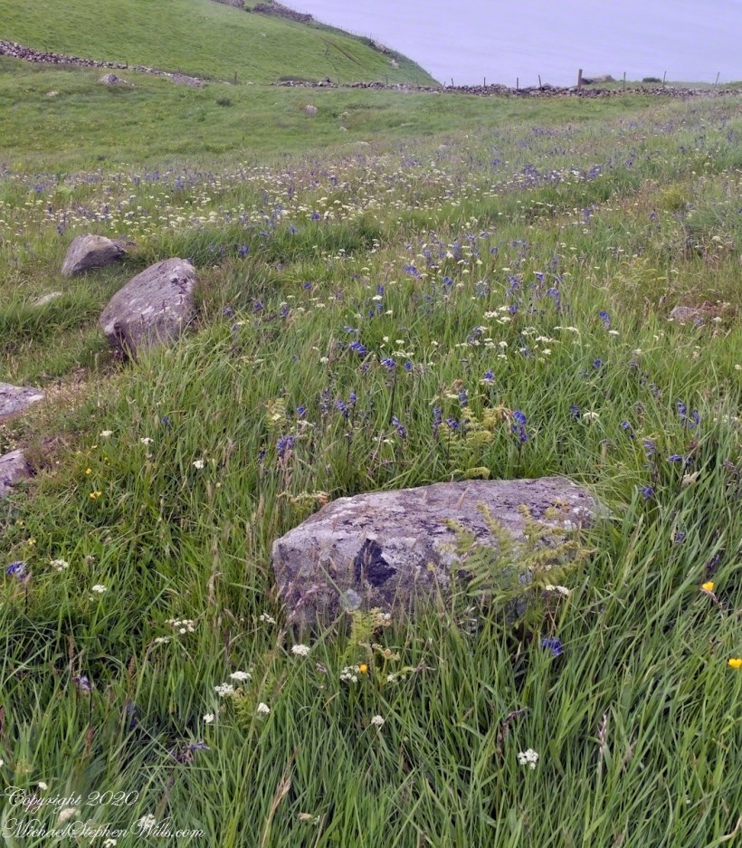
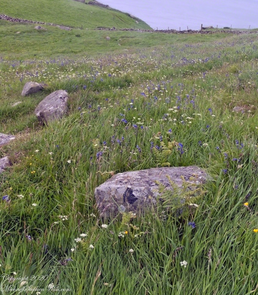
See this post for a description of wildflowers flowering here in the month of June.
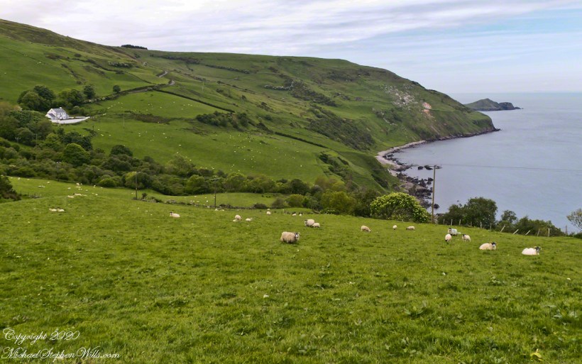
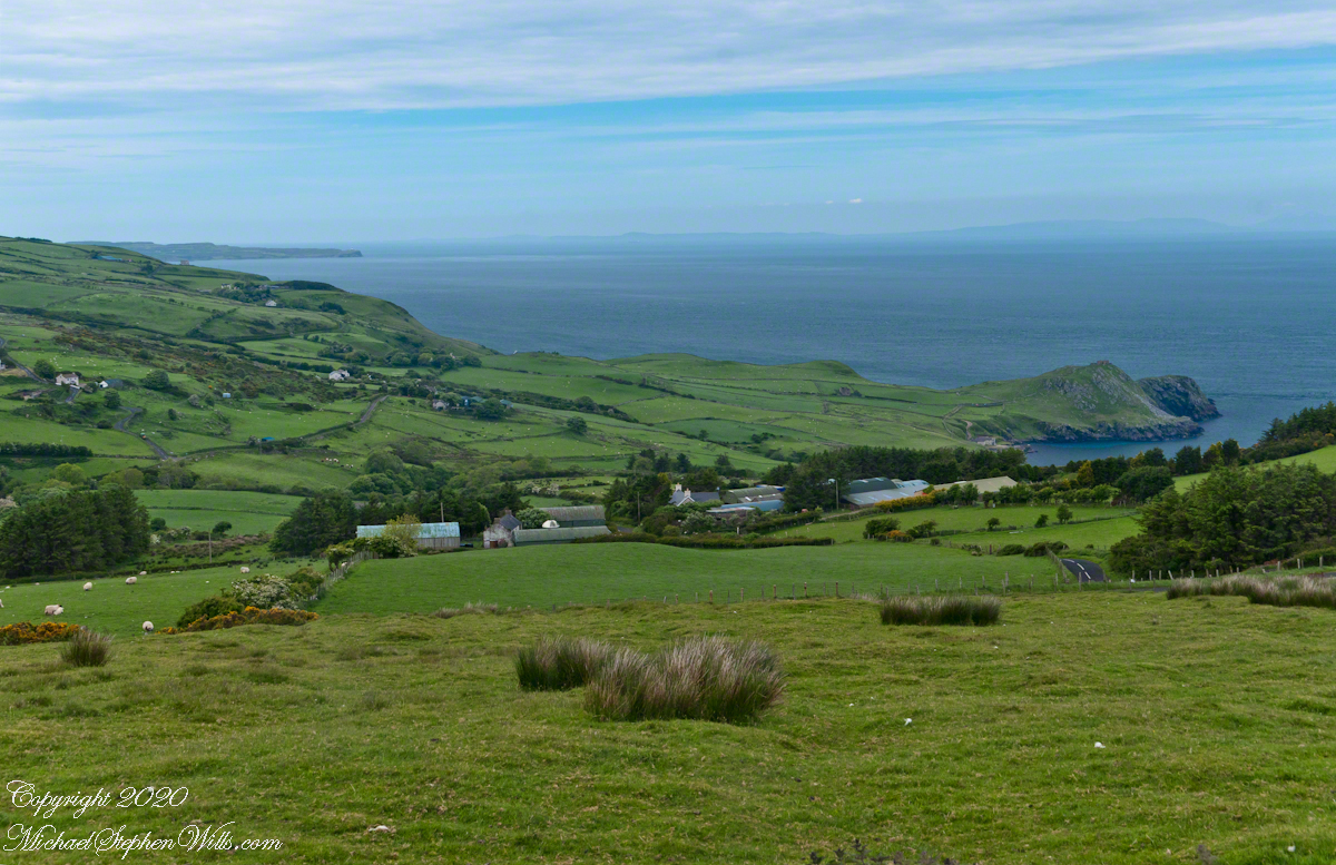
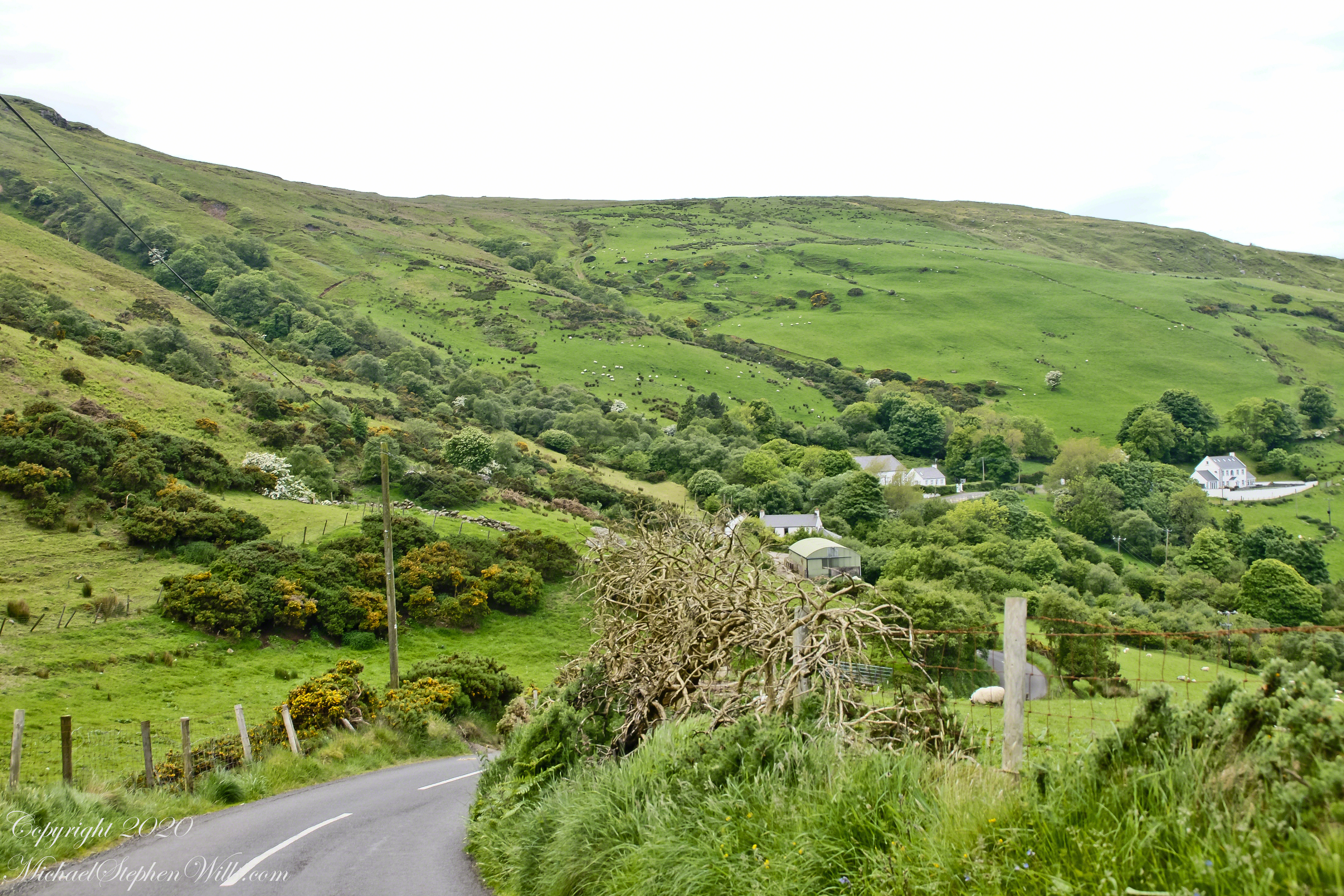
This photograph from the bottom of the Torr Road hill takes in Coolranny Townland. a slice of land running from the ridge to Loughan Bay. We see a number of hawthorne trees in flower, yellow flowering Whin Bush, houses and the Roman Catholic church Saint Mary’s Star of the Sea.
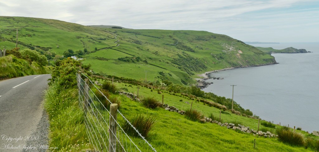
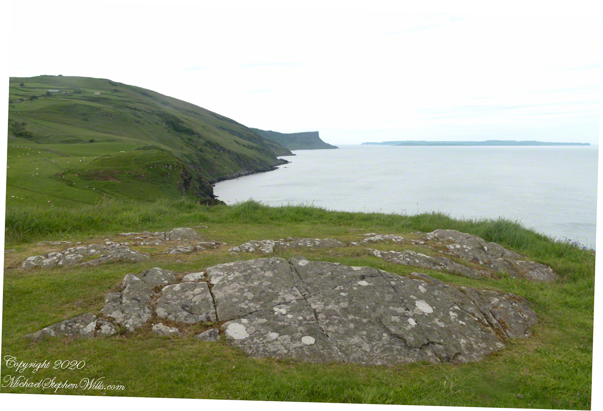
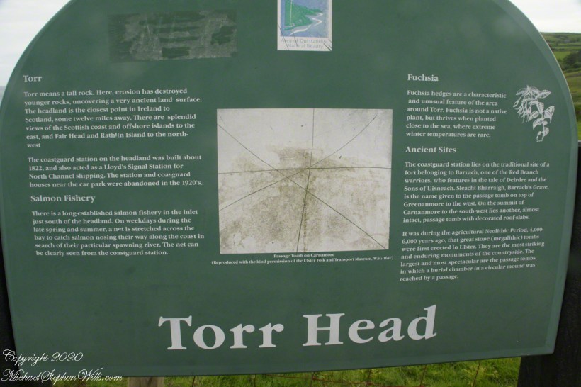
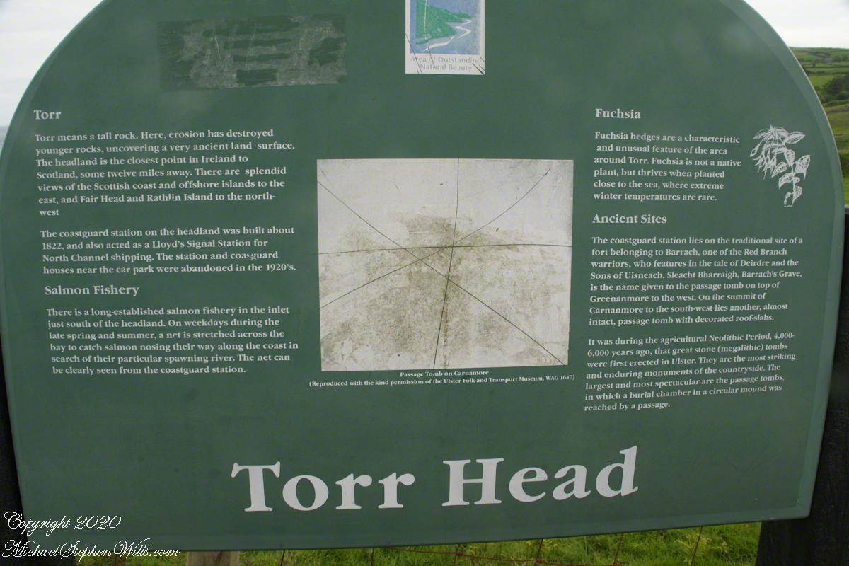
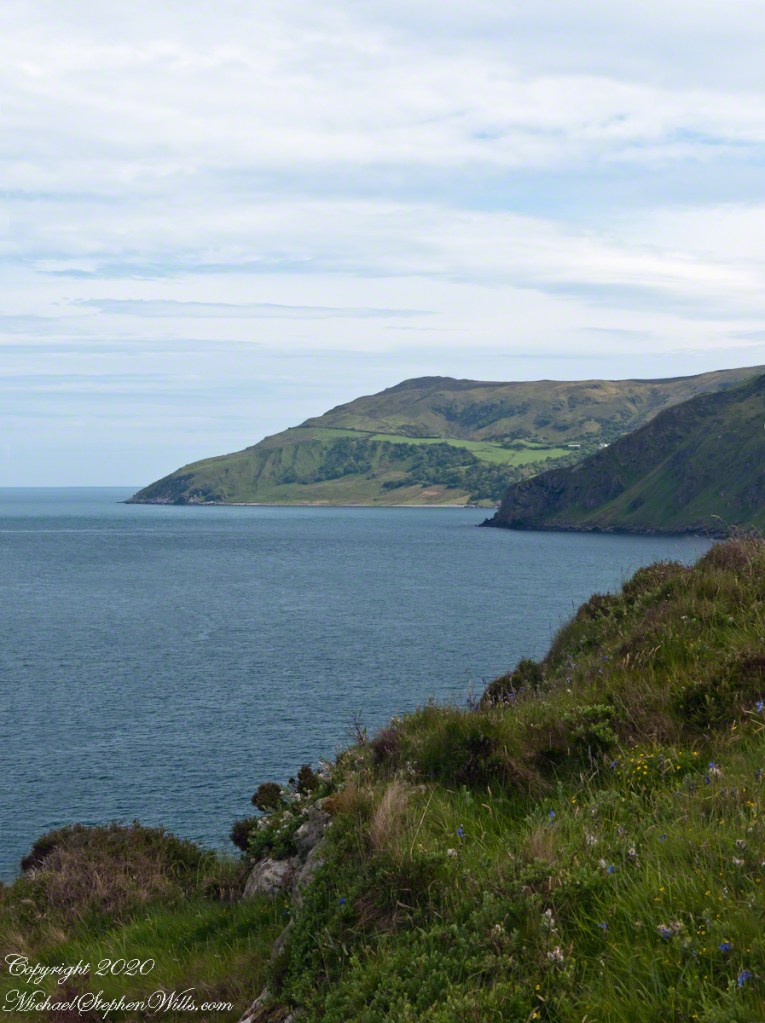
Tor in Irish is a steep rocky height. Likewise, Corr means odd, uneven, rounder, convex, curved, peaked, projecting, smooth. Combined Torcorr is the townland where we stopped on the Torr Road, halted by our wonder at this sight. In the distance, Torr Head projects into North Channel, the closest land to Scotland. Following the coast, the cliffs in front of Torr Head is home to numerous sea birds. The curved bay is named Loughan, the rocky sand beach are ruins of cottages emptied by Irish emigration. The white building is Saint Mary’s Star of the Sea Roman Catholic Church. County Antrim, Northern Ireland.
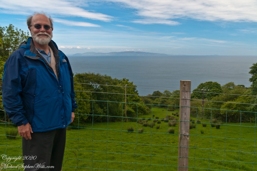
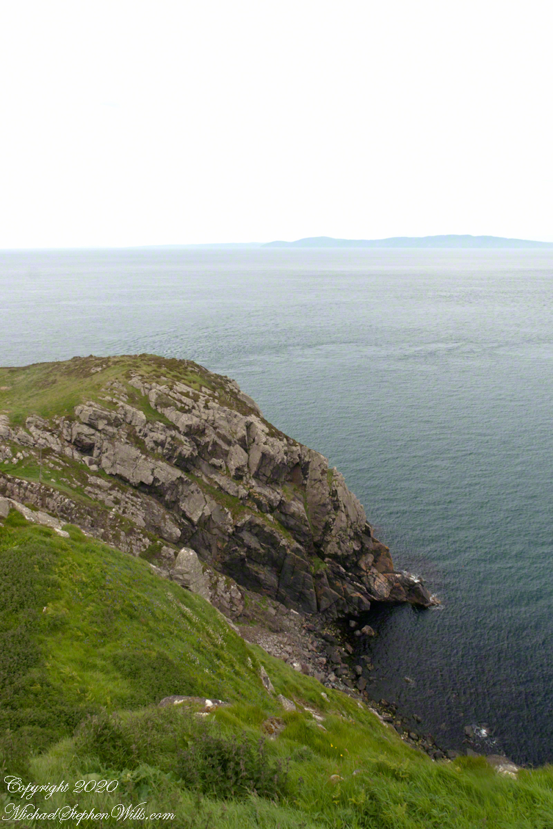
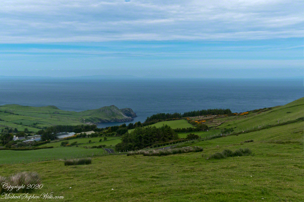
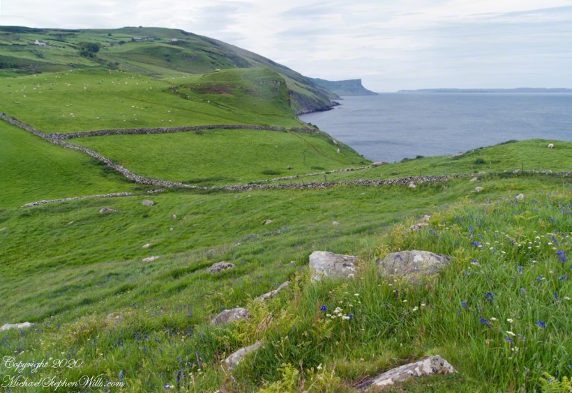
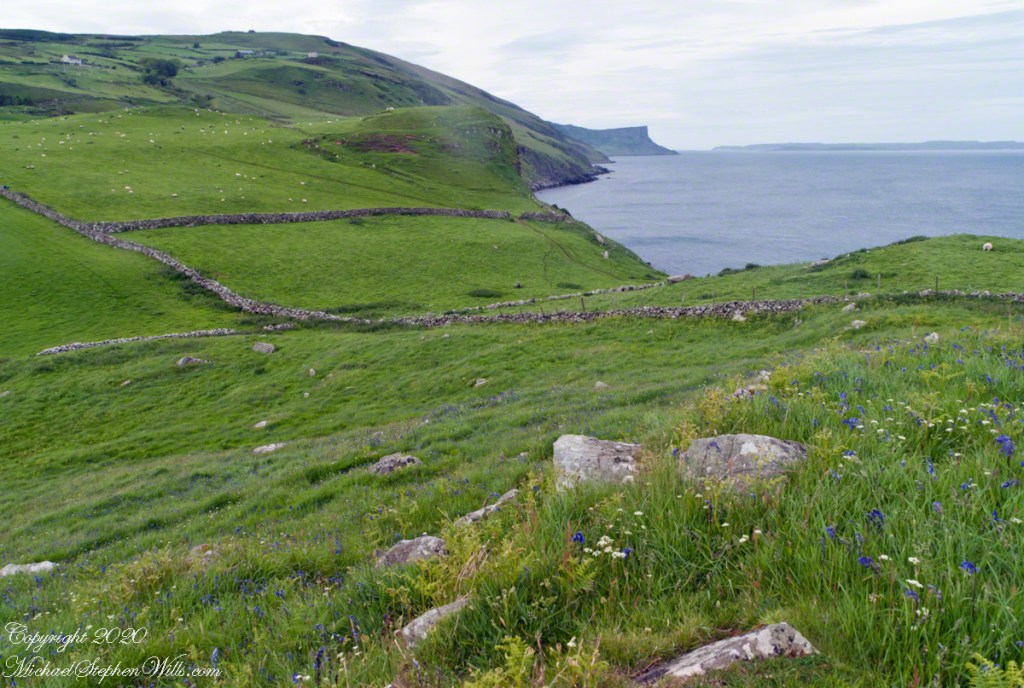
The photograph of the header, taken by Pam, is from either Coolranny or Loughan Townland, looking across a sheep pasture, the North Channel of the Irish Sea toward the Mull of Kintyre, Scotland just twelve miles distant.
Here is a slideshow of this post’s images. To visit from WordPress Reader, you need to first click the title of this post to open a new page.