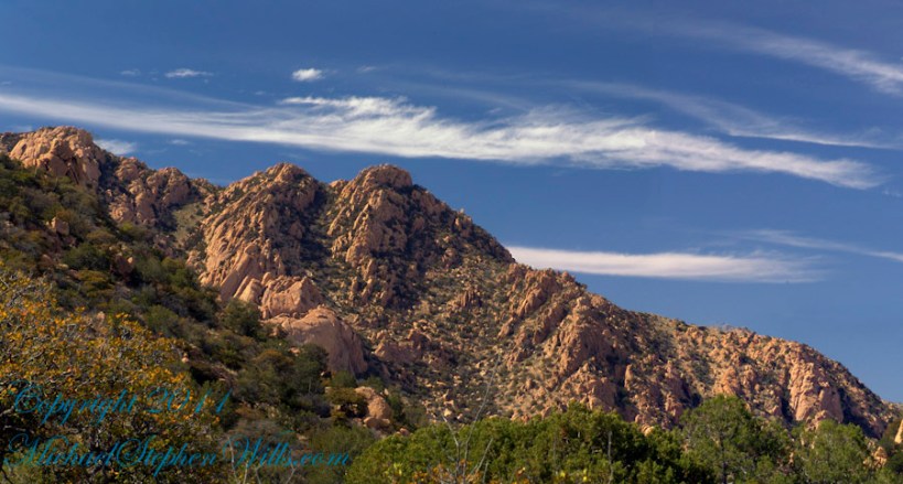
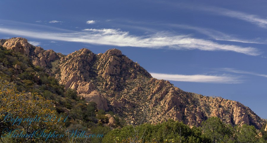
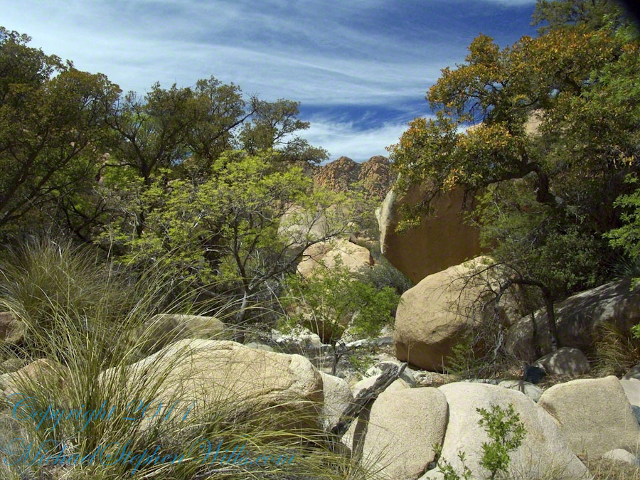
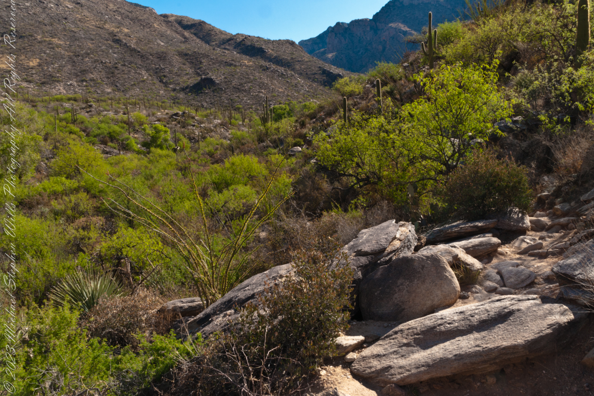
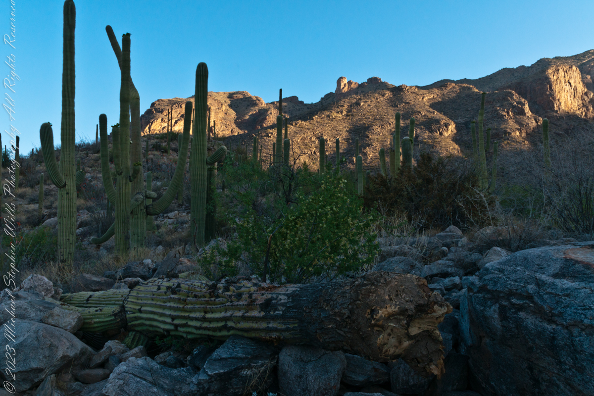
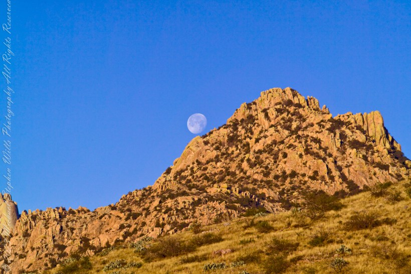
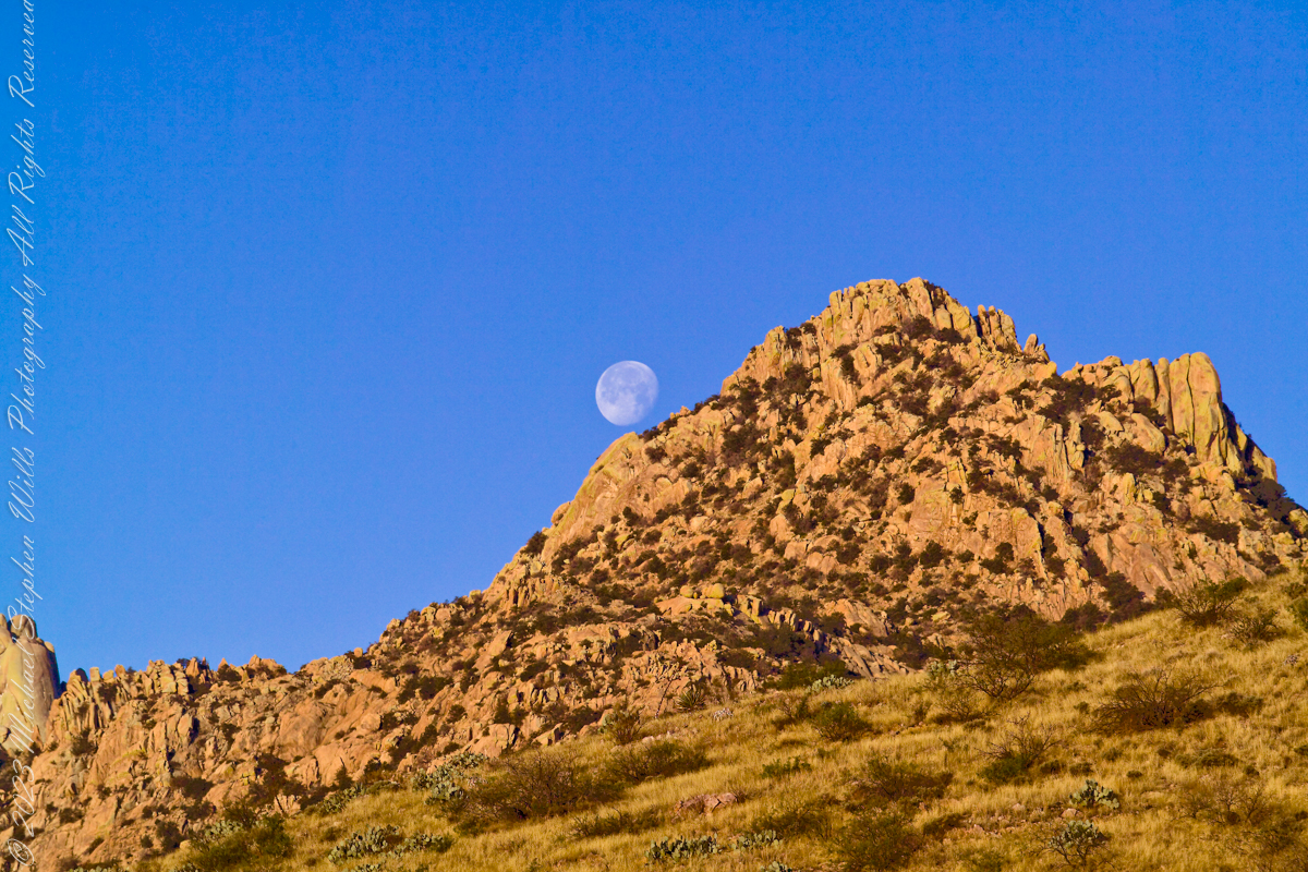
Discovery in the Rincon Wilderness
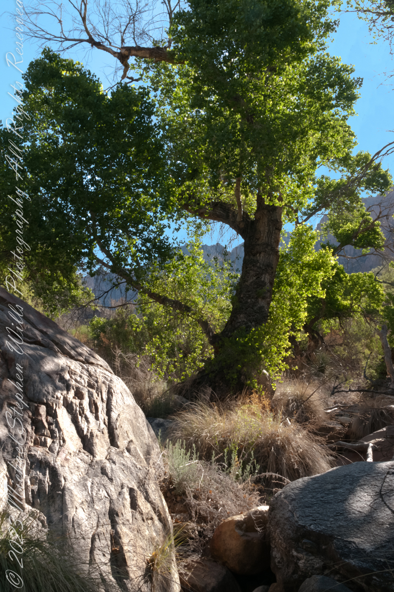
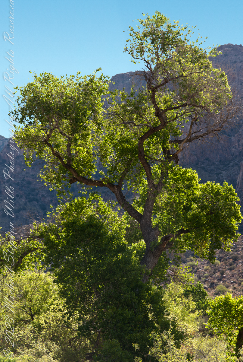
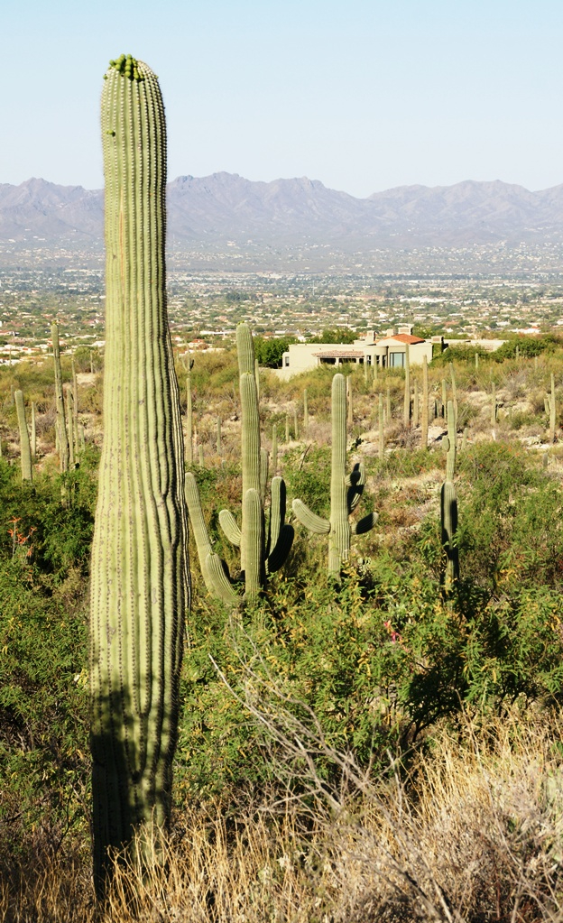
In the embrace of the Rincon Mountains, east of Tucson’s hum, lies the Rincon Wilderness, a tapestry of desert life and geological marvels. These mountains, one of the “Sky Island” ranges cradling the Tucson valley, are less rugged than their siblings, the Santa Catalinas and the Santa Ritas, offering a gentler invitation to explore their secrets.
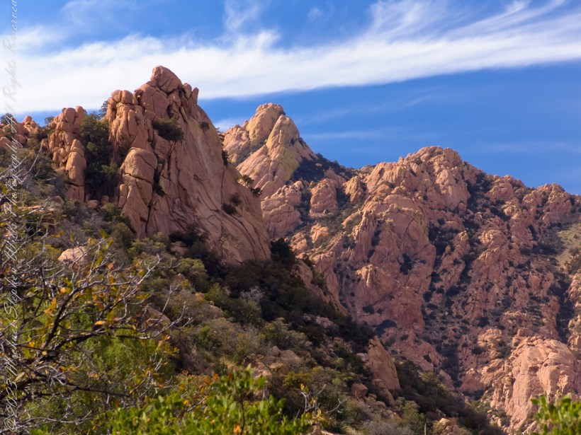
Happy Valley Saddle’s Floral Jewel
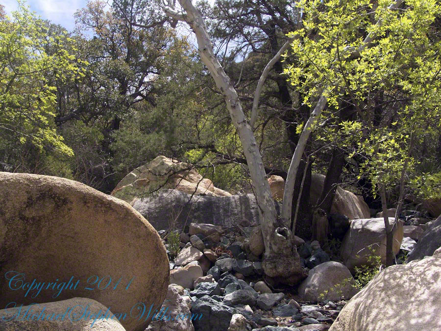
Amidst the rugged beauty of Happy Valley, a hidden corner in the quilt of the Rincon Wilderness, a singular red-orange glow caught my eye. There, among the lichen-encrusted boulders, stood the Southwestern Paintbrush, Castilleja integra, its flamboyant bracts a fiery contrast to the muted greens and grays of its surroundings.

Portrait of a Parasite
This herbaceous perennial, with its soft downy coat, is a paradox, both painting the desert with life and leeching it from others as a hemi-parasite. Its roots, entwined with those of other desert dwellers, tell a tale of survival that’s as old as the hills themselves.
The Brushstrokes of Evolution
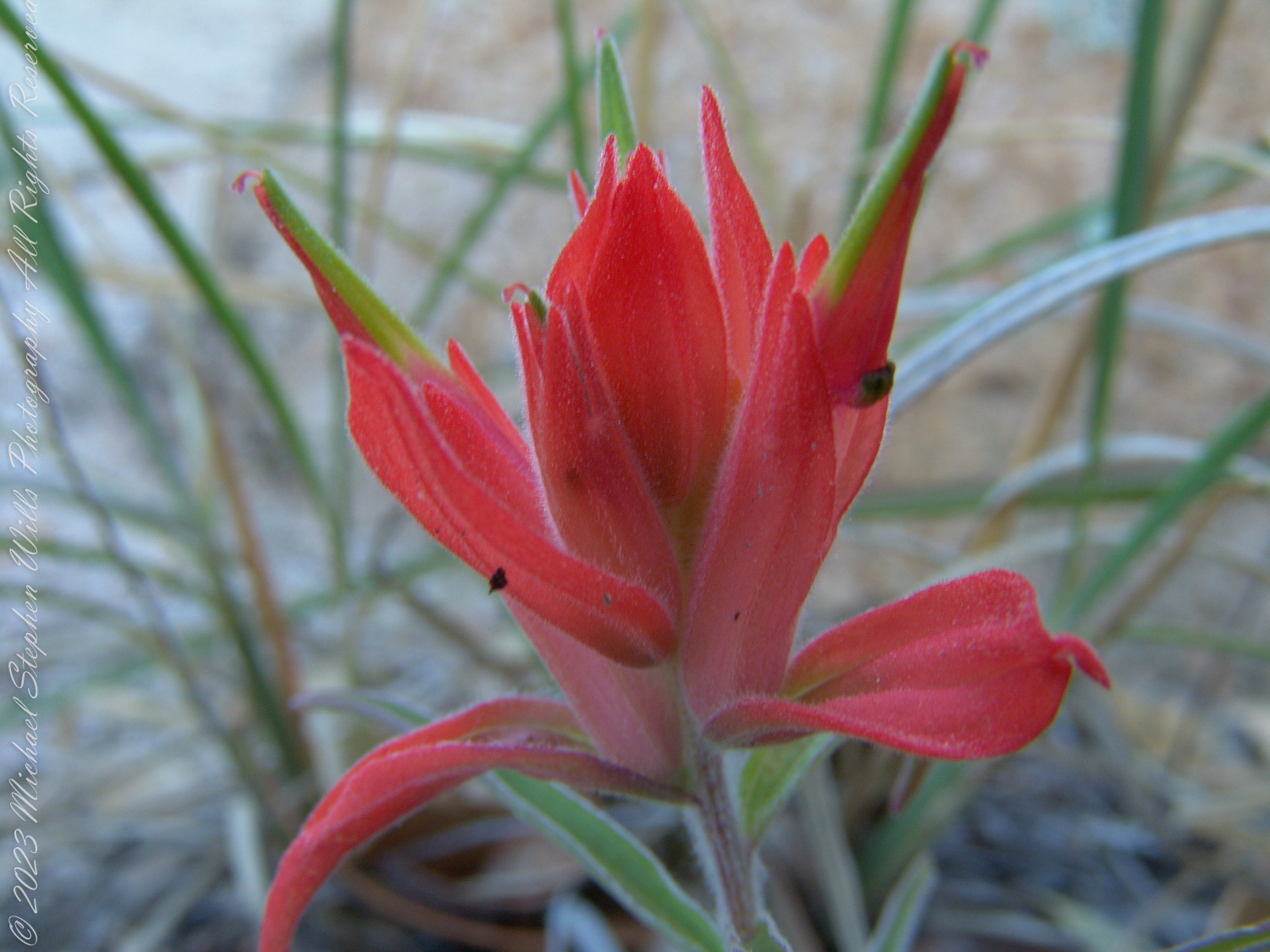
Each leaf, narrow and dusted with hairs, speaks to the adaptive artistry of nature, designed to conserve precious moisture. The flowers, with their extended blooming season and generous nectar, court the hummingbirds who dance between the blooms, pollinators in this ancient symbiosis.
A Symbiotic Canvas
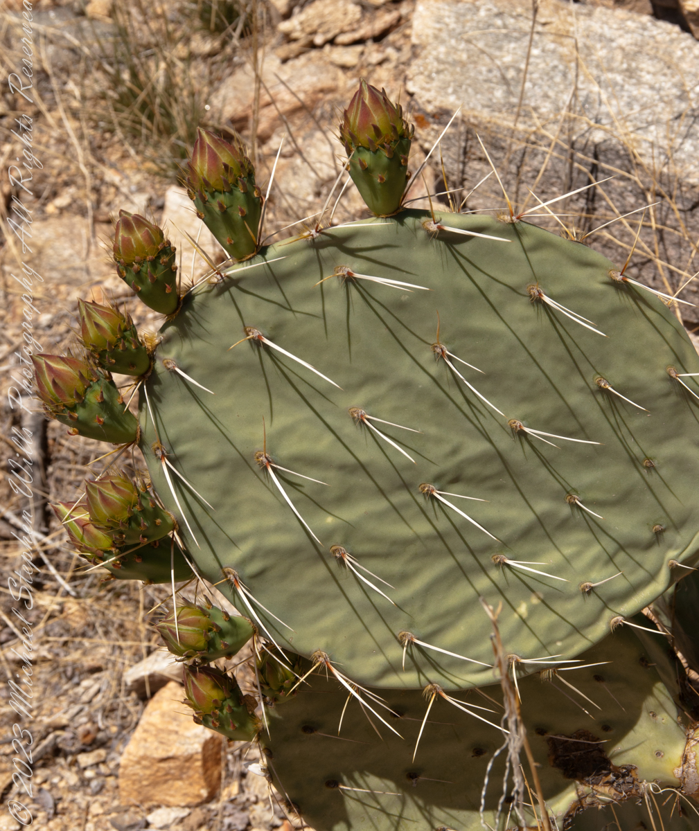
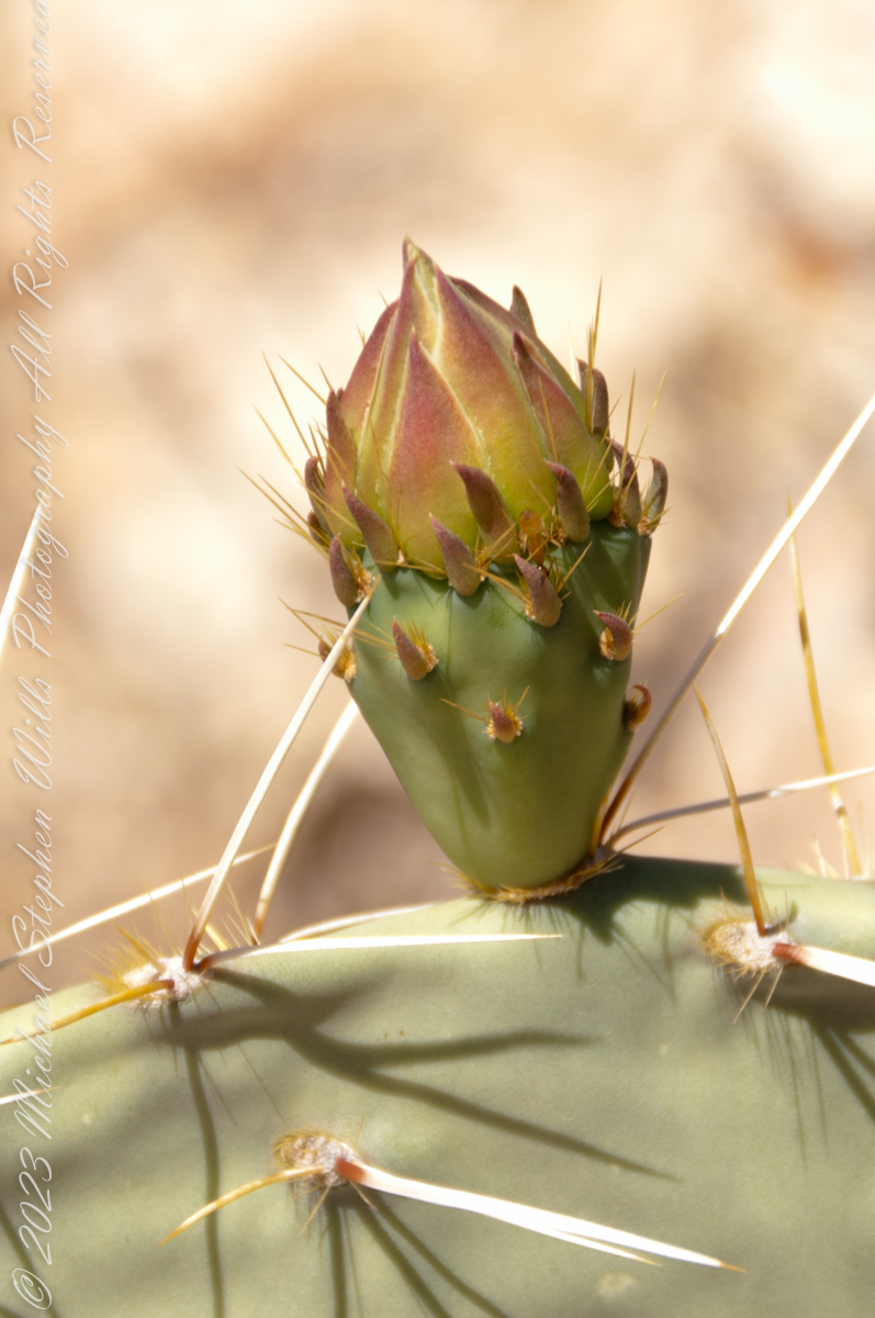
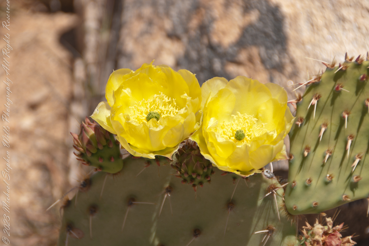
The Southwestern Paintbrush, with its colorful allure, draws more than just winged admirers. Its presence among the rocks is a reminder of the complex ecological web of the Rincon Wilderness, a part of Saguaro National Park’s rich mosaic
Click Me to visit the photographs of Michael Stephen Wills on Getty.