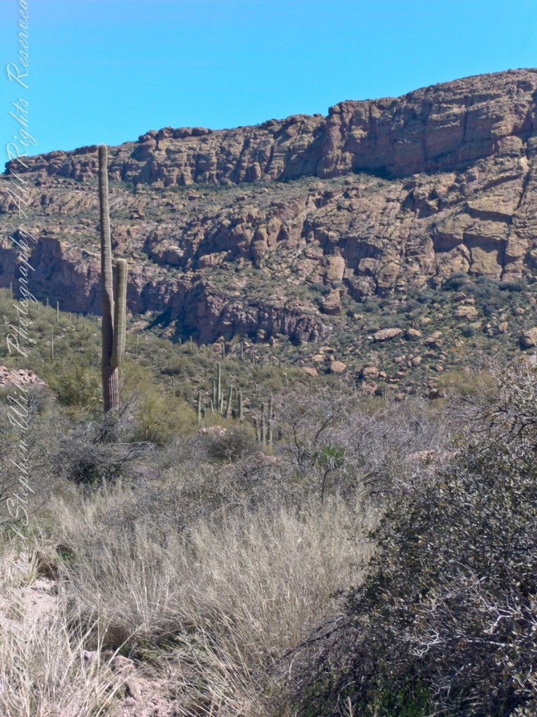
In my previous posting “Hoodoos on the Descent to Reavis Falls” I describe how I came to find these strange rock formations during a solo expedition to Reavis Falls in the remote eastern Superstition Wilderness.
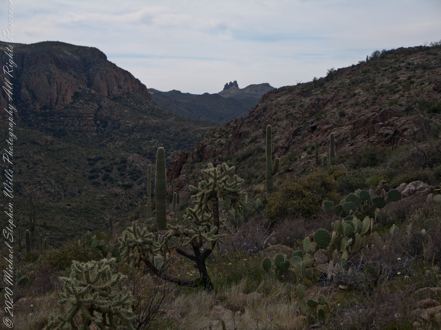
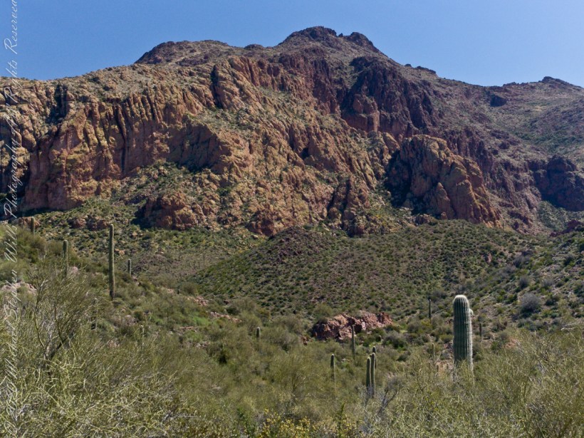
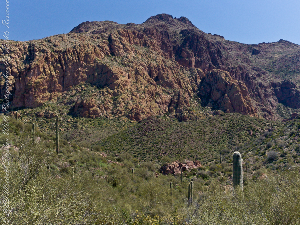
Here I present several photographs captured from my tripod mounted Kodak DCS pro slr/c and a Canon EF 200 mm f2.8 L telephoto lens. These provide a better understanding of the strange, wonderful and possibly frightening impressions these formations make when discovered in a deserted location such as Cedar Basin.
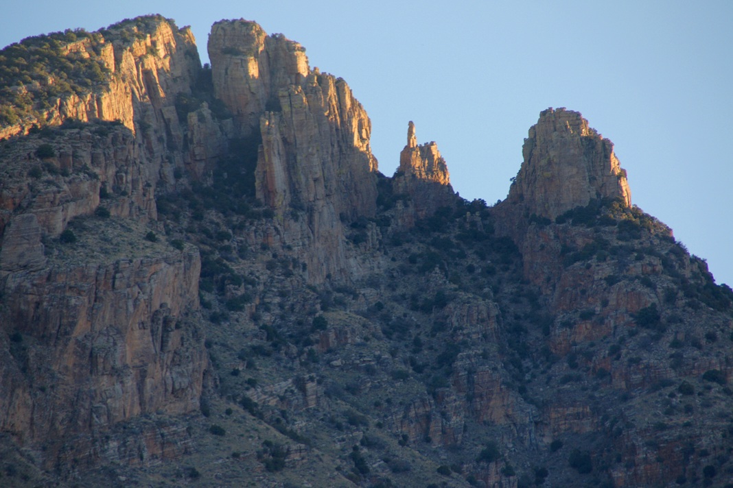
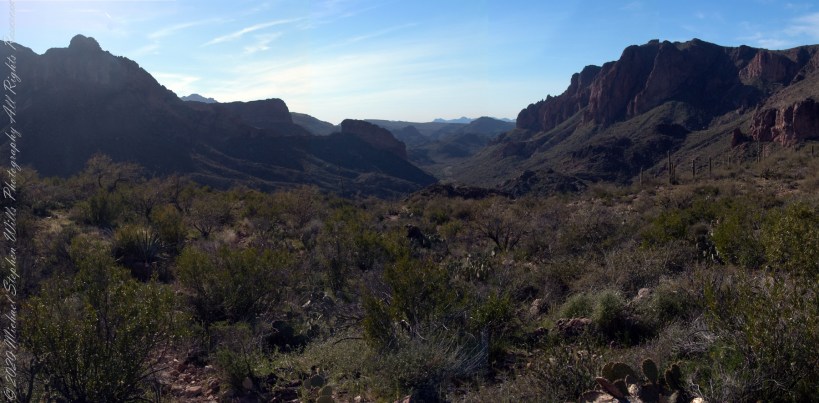
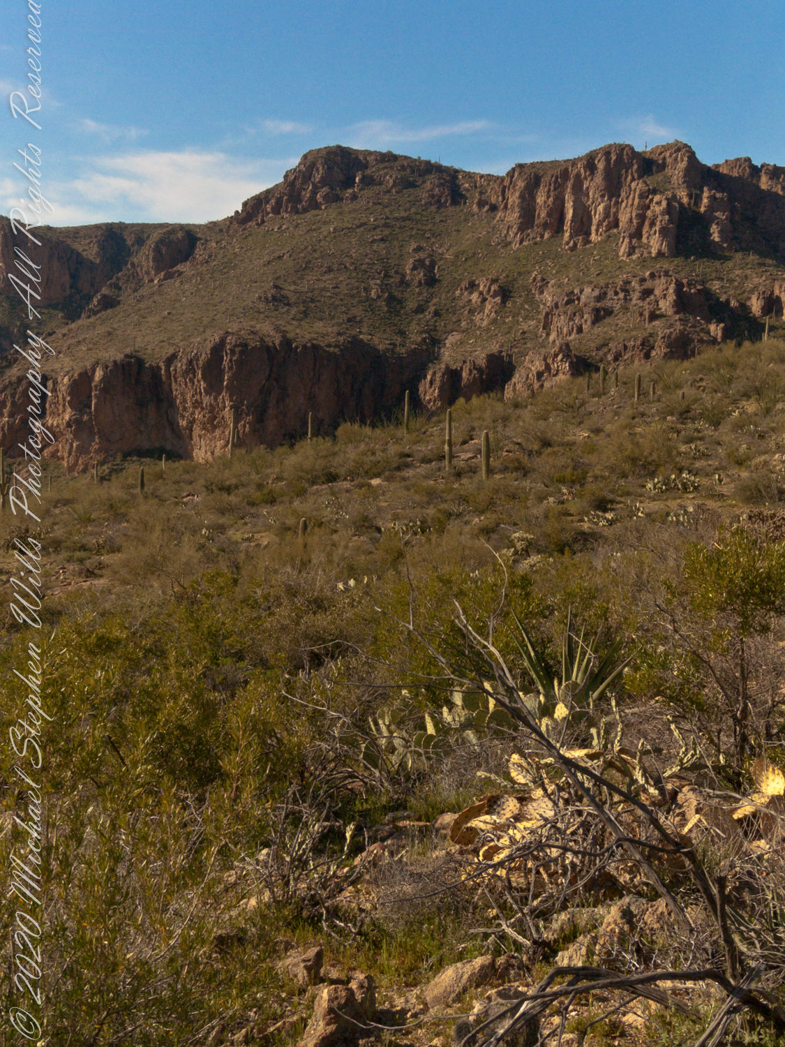
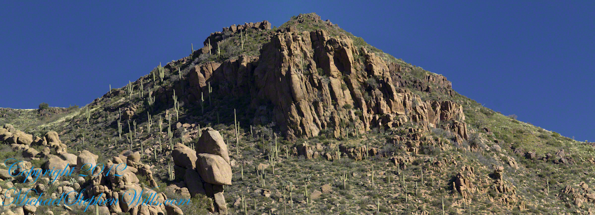
Here is the highest point of the ridge….
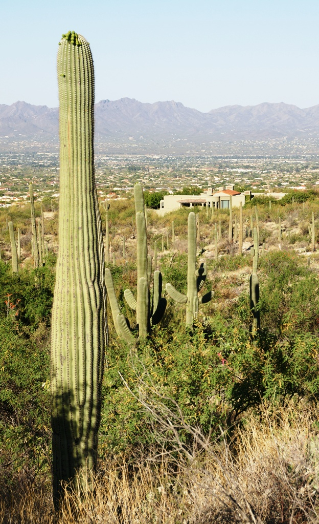
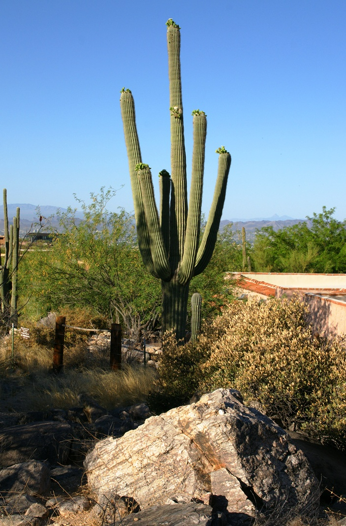
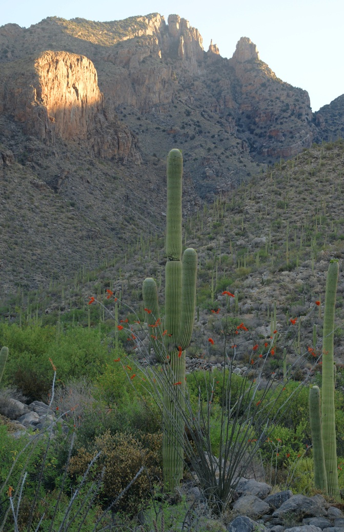
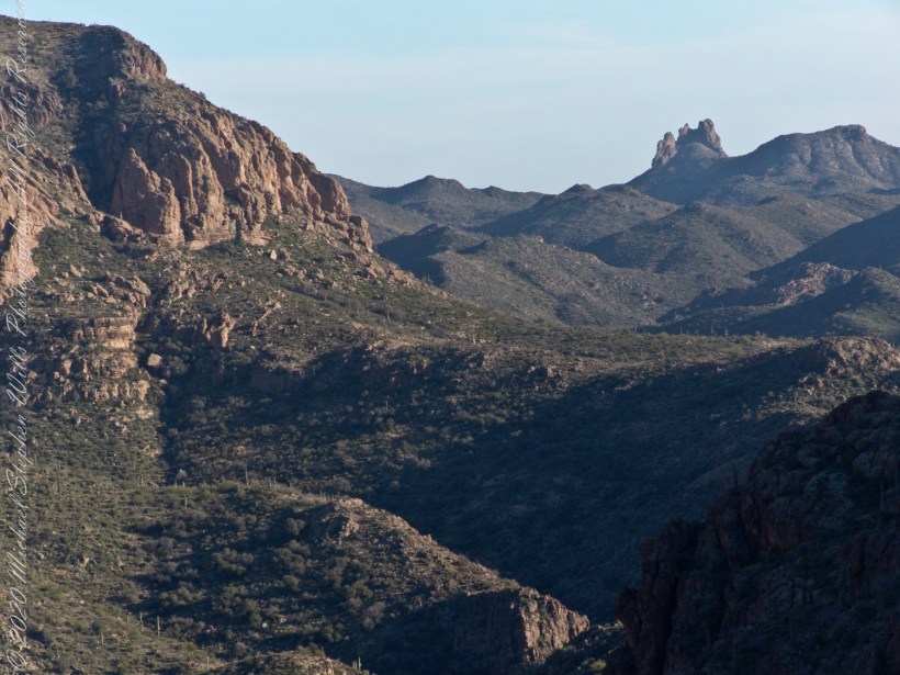
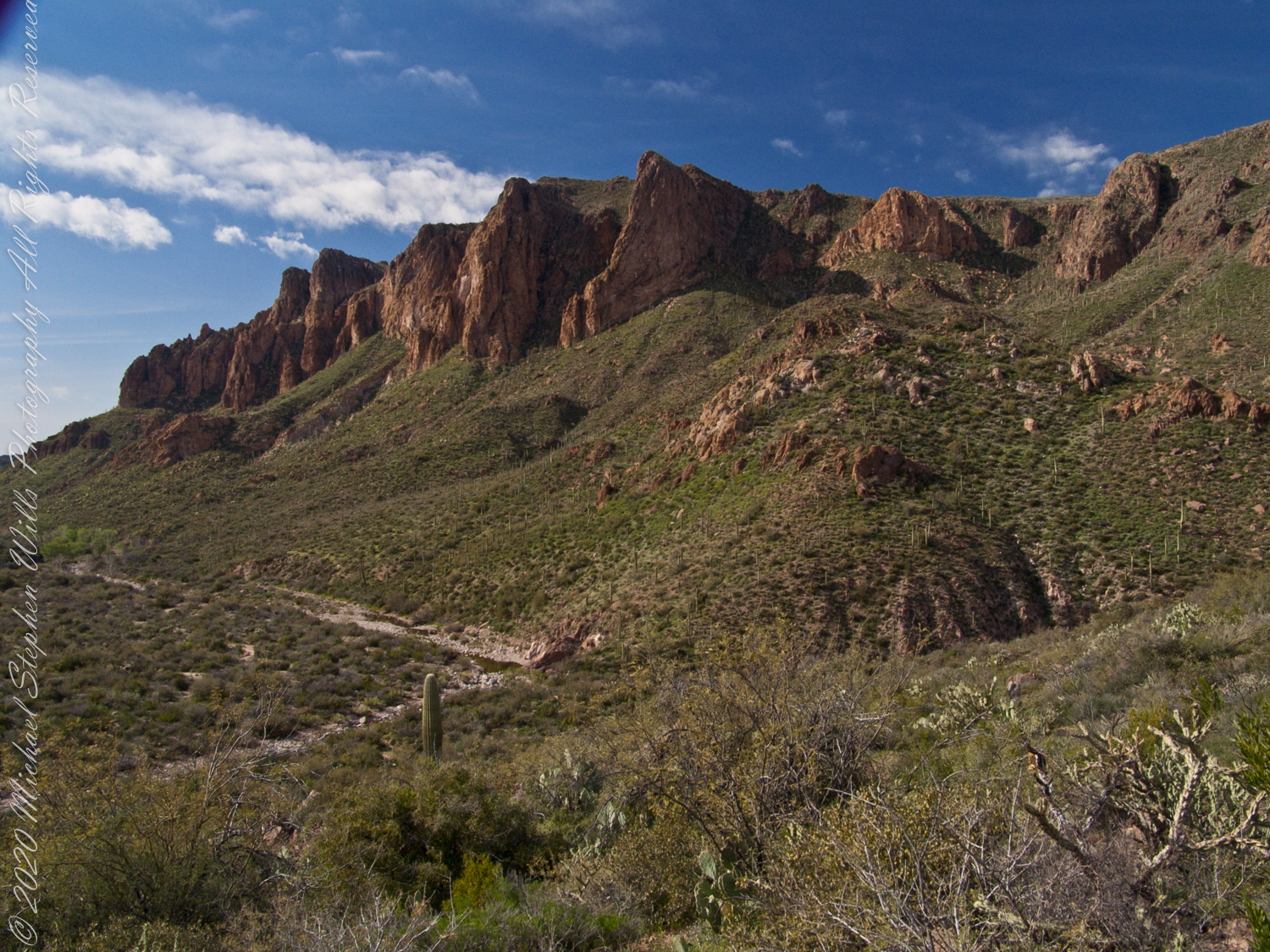
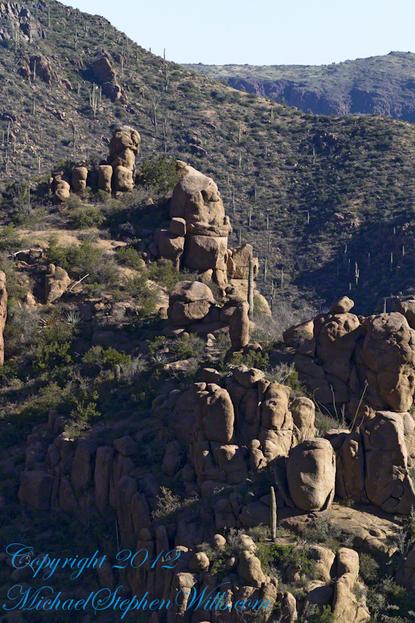
…..and from a portion of the ridge that projects closer to my observation point above the canyon mouth of Reavis Falls. The numerous green poles are young Saguaro cactus. In the distance are mature Saguaros with lateral arms.
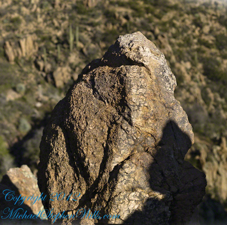
..and even closer than this were the rocks standing around me. This specimen I captured with the 50 mm 1.4 Canon lens. I believe it is a different rock type than the above, rounded, hoodoos. Those look like rock from ash of a volcanic eruption. This rock seems to be igneous, formed deep inside the earth.
My next posting will describe the surroundings of the campsite from which I explored the canyon and Reavis Falls.