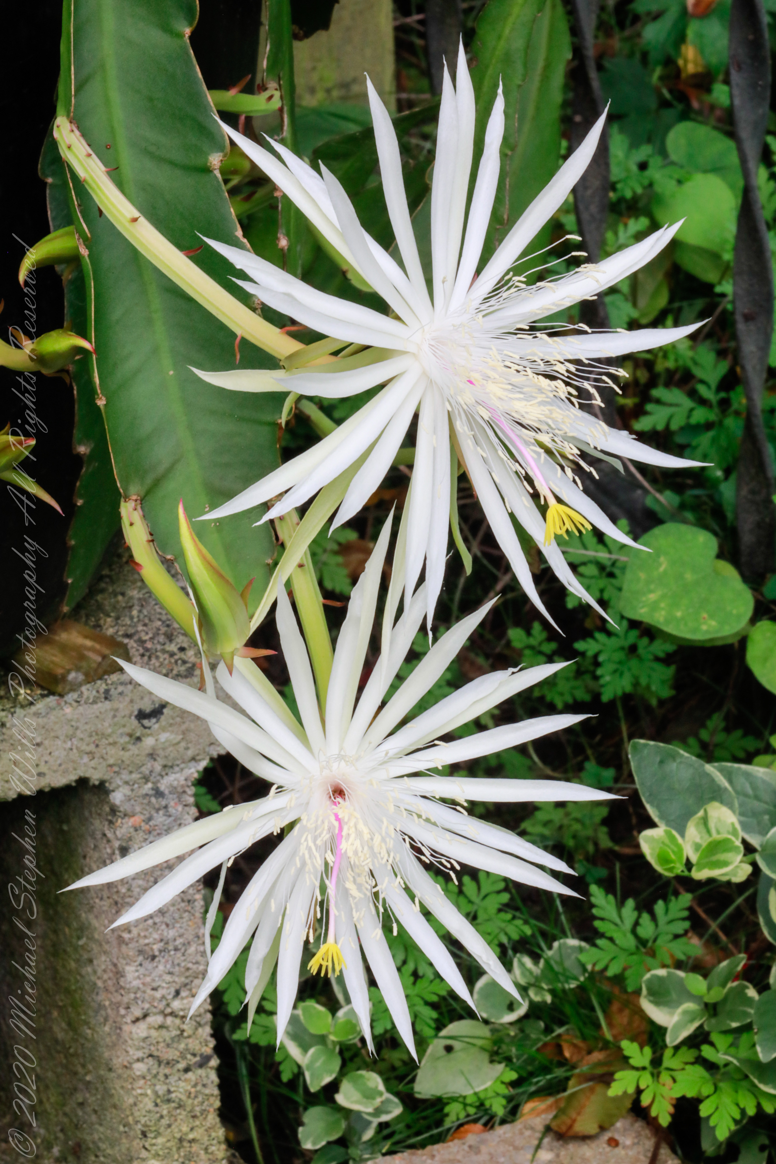
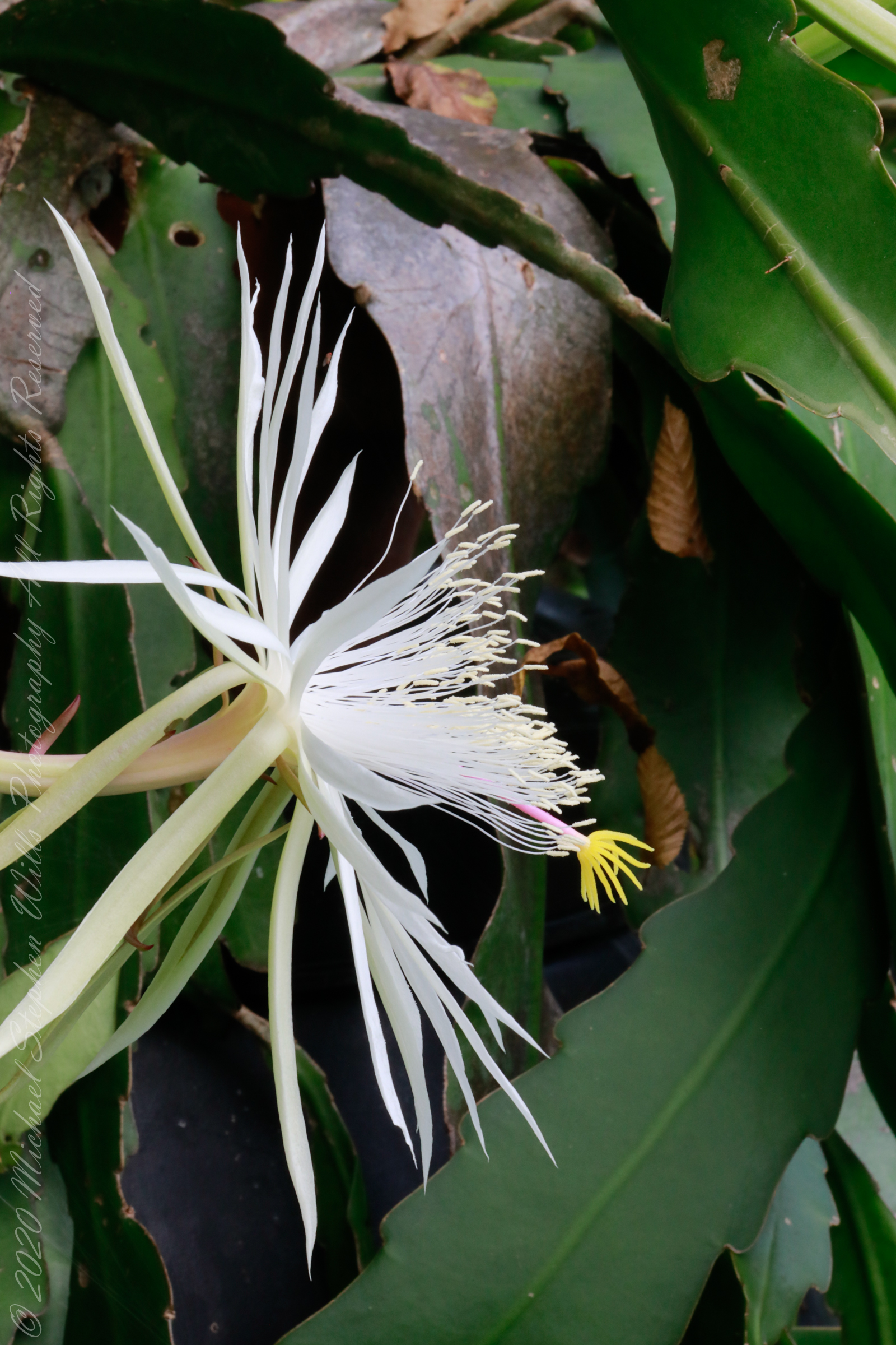
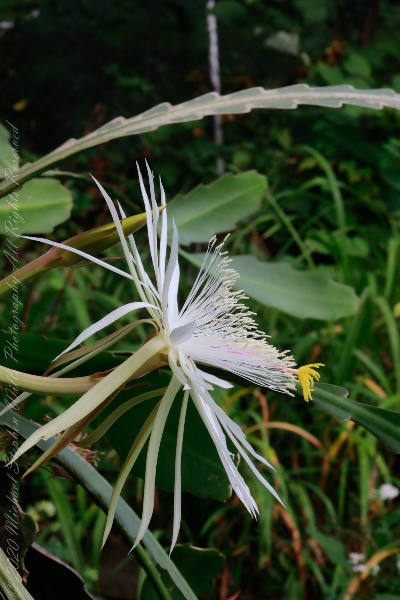
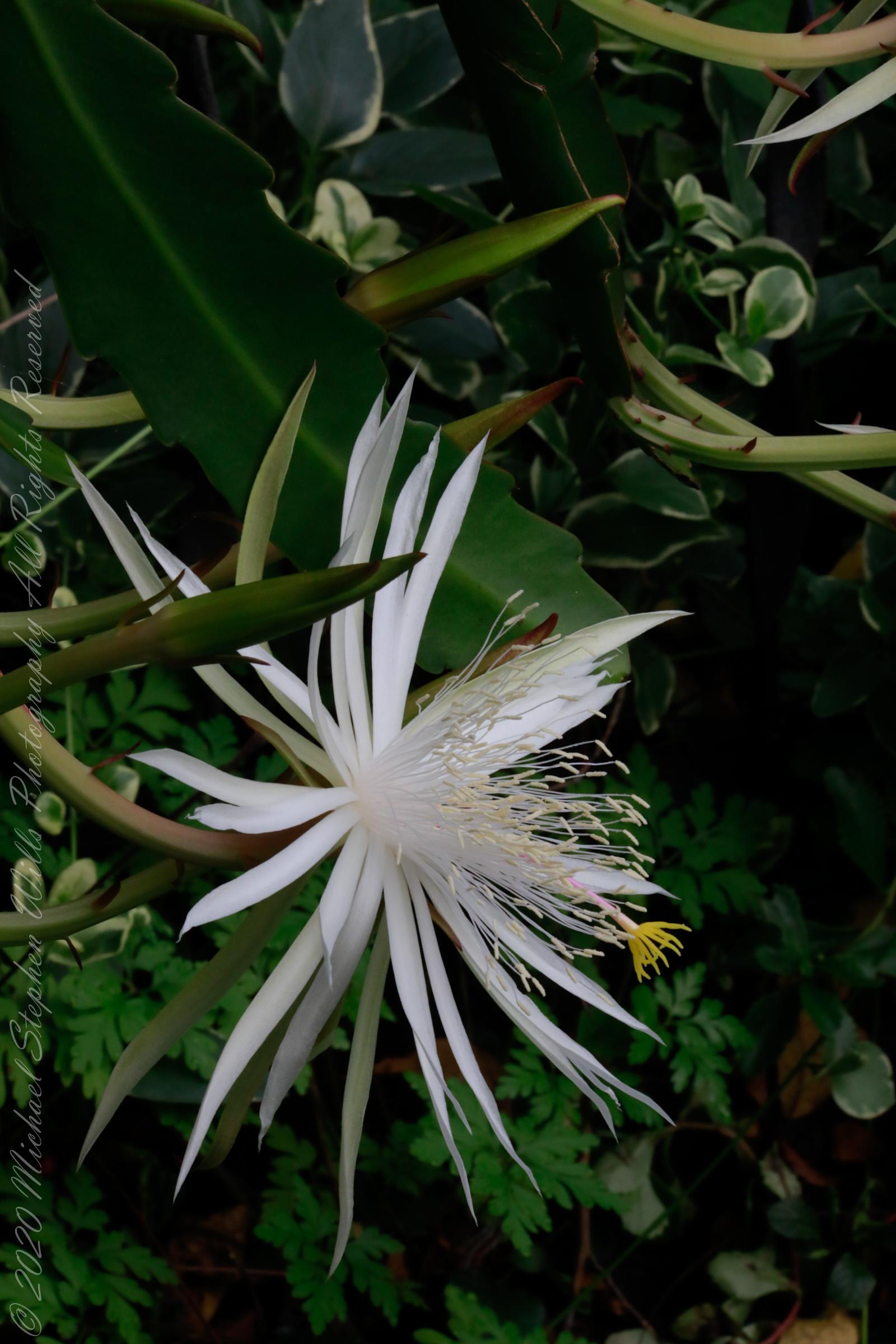
The Epiphyllum genus, which includes my “Night Blooming Cereus,” consists of epiphytic plants. The term “epiphytic” comes from the Greek epi- (meaning “upon”) and phyton (meaning “plant”). Epiphytic plants, sometimes called “air plants,” do not root in soil. However, this term can be misleading, as many aquatic algae species are also epiphytes on other aquatic plants (seaweeds or aquatic angiosperms). Therefore, it’s essential not to confuse the genus root word “phyllum” (leaf) with the generic term “phytic” (plant), even though they share the common prefix “epi.” A plant can be epiphytic without being part of the Epiphyllum genus.
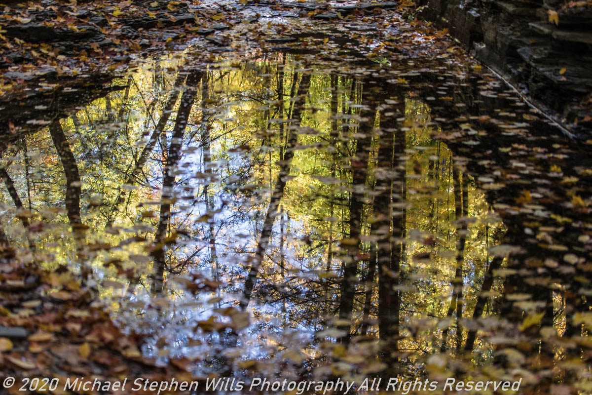
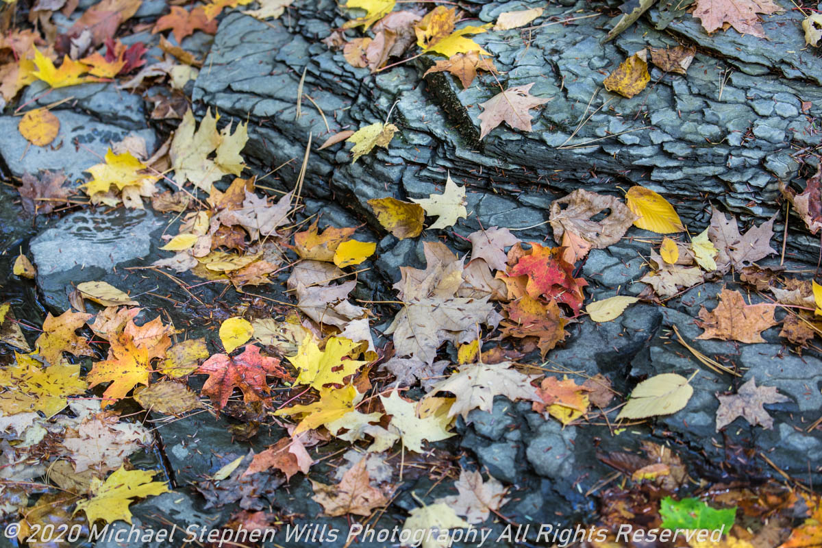
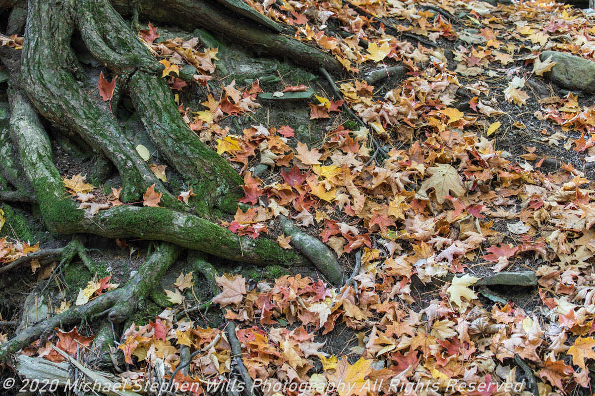
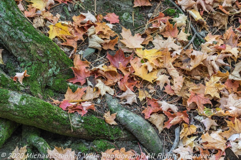
These were captured with the Canon EOS 5D Mark IV dslr on a Manfrotto tripod.
An epiphyte is a plant or plant-like organism that grows on the surface of another plant, deriving its moisture and nutrients from the air, rain, or debris accumulating around it. The host plants on which epiphytes grow are called phorophytes. Unlike parasites, epiphytes use other plants merely for physical support and do not negatively impact the host. Epiphytes can also be called epibionts when growing on non-plant organisms. Common in both temperate zones (mosses, liverworts, lichens, algae) and the tropics (ferns, cacti, orchids, bromeliads), epiphytes enhance biodiversity and biomass in their ecosystems. They make excellent houseplants due to their minimal water and soil needs and create rich habitats for various organisms, including animals, fungi, bacteria, and myxomycetes.
Epiphytes are not connected to the soil and must source nutrients from fog, dew, rain, mist, and decomposing organic material. They have an advantage in the canopy, where they access more light and are less vulnerable to herbivores. Epiphytes also benefit animals that live in their water reservoirs, like some frogs and arthropods.

Epiphytes significantly affect their host’s microenvironment and the broader ecosystem. They hold water in the canopy, reducing soil water input, and create cooler, moister conditions, which can decrease the host plant’s water loss through transpiration. Non-vascular epiphytes, like lichens and mosses, are particularly efficient at rapid water uptake.
Click me for another “Cereus” Post.
Reference: my post draws heavily on this source: Wikipedia, “Epiphyte.”
Copyright 2024 Michael Stephen Wills All Rights Reserved