Iquique by Sea IV
Discover the vibrant blend of history and modern maritime traditions in Iquique. From the dramatic escarpment backdrop to the bustling harbor, join us on a journey exploring the city’s past and present, anchored in seafaring tales.
Discover the vibrant blend of history and modern maritime traditions in Iquique. From the dramatic escarpment backdrop to the bustling harbor, join us on a journey exploring the city’s past and present, anchored in seafaring tales.


Lima is home to 10 million Peruvians and over 1000 historical sites.
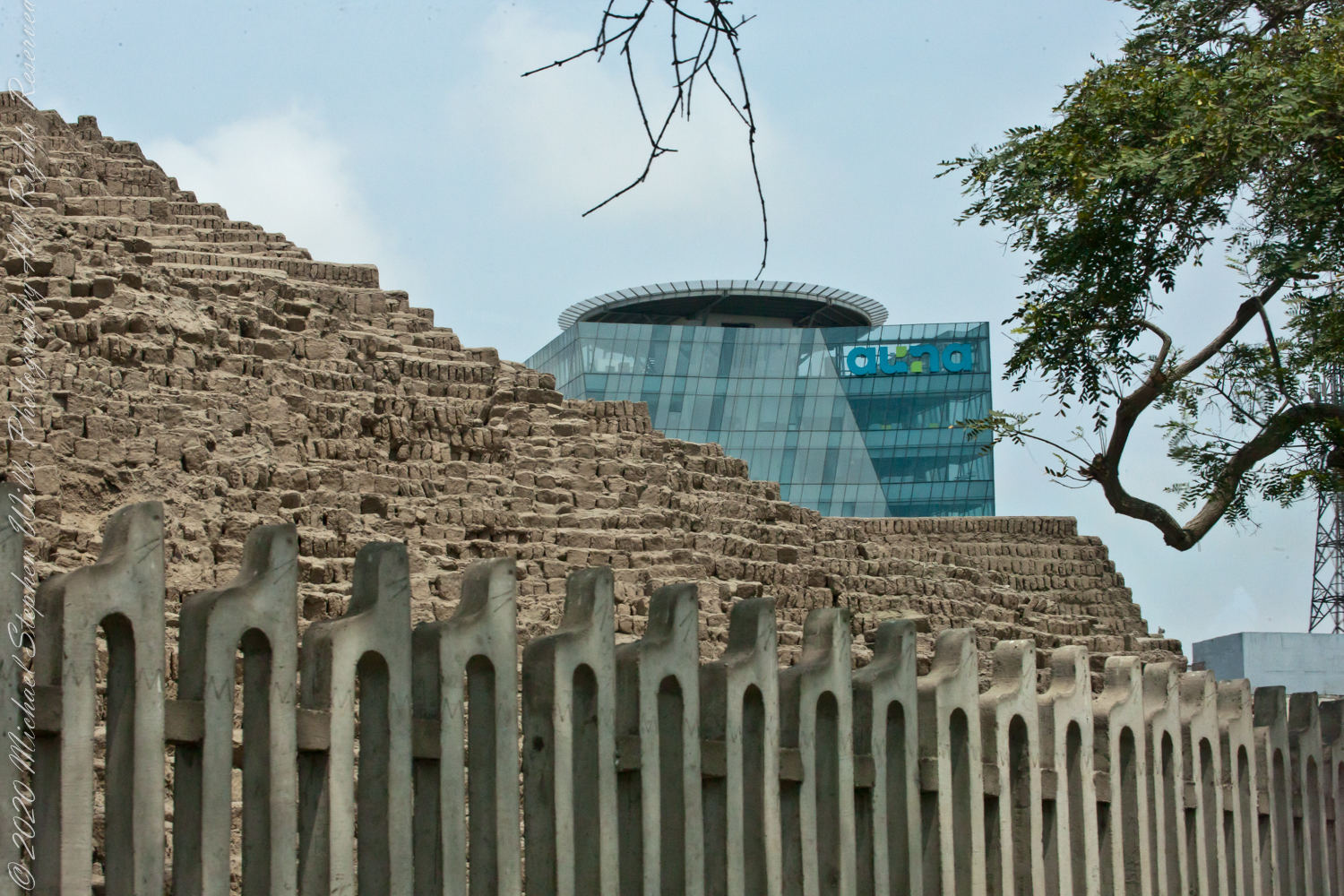
View of Clinica Delgado (hospital) from Lima Peru’s Elias Aguirre (street), Huaca Pucllana filling the foreground. Huacas are commonly located in nearly all regions of Peru outside the deepest parts of the Amazon basin in correlation with the regions populated by the pre-Inca and Inca early civilizations. They can be found in downtown Lima today in almost every district, the city having been built around them. Huaca Pucllana, located in Miraflores district, is an adobe and clay pyramid built from seven staggered platforms. It served as an important ceremonial and administrative center for the advancement of the Lima Culture, a society which developed in the Peruvian Central Coast between the years of 200 AD and 700 AD.
This is the New York Times article that inspired me to remember visiting Huaca Pucllana during our February 2016 tour of Lima, Peru. “3,000 Years of History Are Literally Just Beneath Our Feet.”
View of Aconcagua Mountain at Sunset
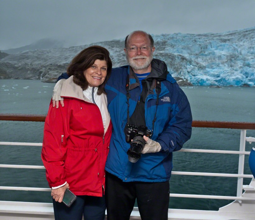
After the Ocean Princess sailed off toward its destiny in my last posting, “Valparaiso Departure I,” Pam and I left the deck for dinner to return two hours later for the Regatta’s departure in the magic sunset hour.
This first photograph is 22 minutes before sunset as the ship swung into a course along the northern shore of Valparaiso Bay. The city grew along the bay shore, starting from the city center in the southern cup and into the north. We are looking southeast across a lighthouse named “Club de Yates”, identified from the red fiberglass tower, a triangular daymark, toward the north end of Valparaiso.
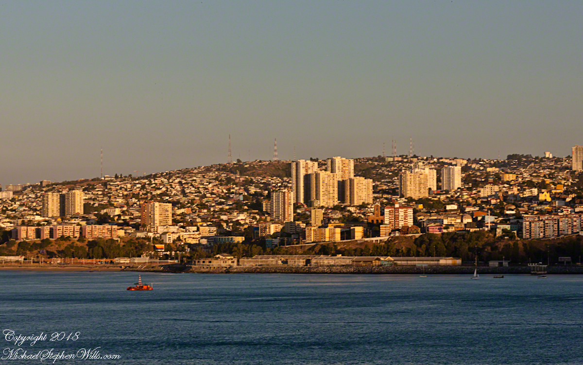
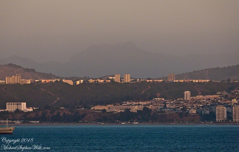
Here we see a different city altogether, the fourth largest of Chile and also within the Valparaiso Region and the Greater Valparaiso Area, named Vina Del Mar (Vineyard of the Sea). The view is almost due east and, from here, it is difficult to discern why it is also called “La Ciudad Jardin” (Garden City), it is do densely populated. North Valparaiso ends with a ridge with Vina Del Mar the next valley. Look carefully along the shore to find the Punta Gruesa lighthouse with a red band on a white metal tower daymark. By way of scale the tower is 56 feet high. Follow Punta Gruesa to the right for the ridge separating Vina Del Mar (the taller apartment buildings, from Valparaiso.
The distant mountain is huge, visible from 95 miles away. More about it later.
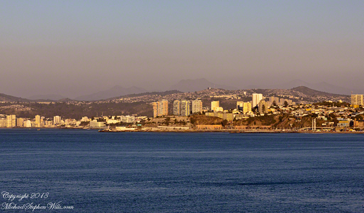
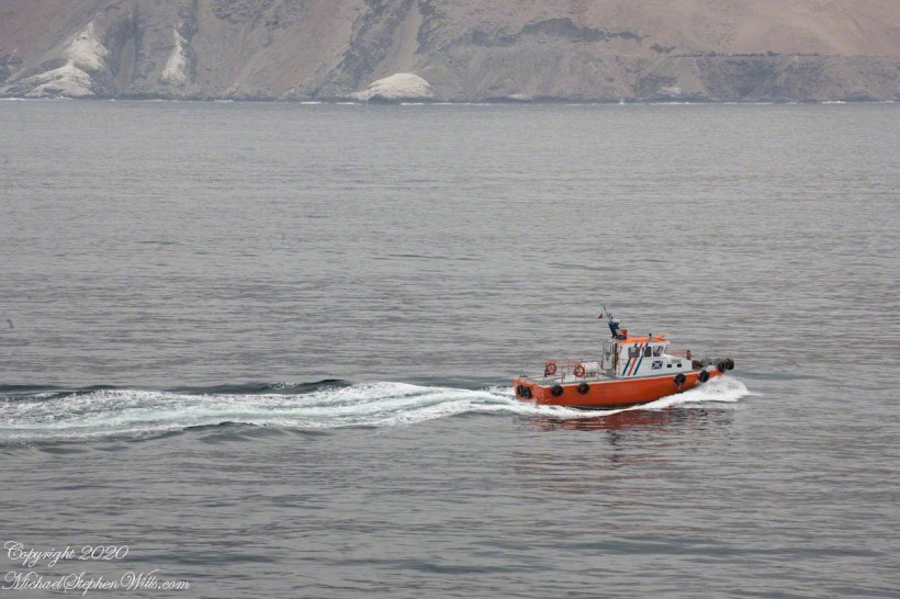
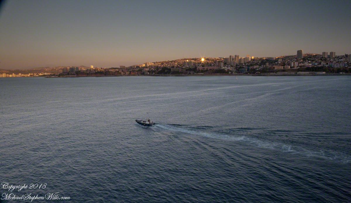
The previous photographs were using a tripod mounted Canon EOS-1Ds Mark III with the Canon 70 – 300 mm f4-5.6 L IS USM lens set to 108 mm focal length, taken 15 seconds apart. I then swapped the EF 24 mm f 1.4 L USM lens for the following photograph of the pilot boat heading to a rendezvous with the Regatta, having dropped off “our” harbor pilot. It will wait beyond the harbor to bring the pilot back home. The photograph is 7 minutes after the previous. Punta Gruesa and the lighthouse and the Vina Del Mar apartment towers are just visible, having lost the sun.
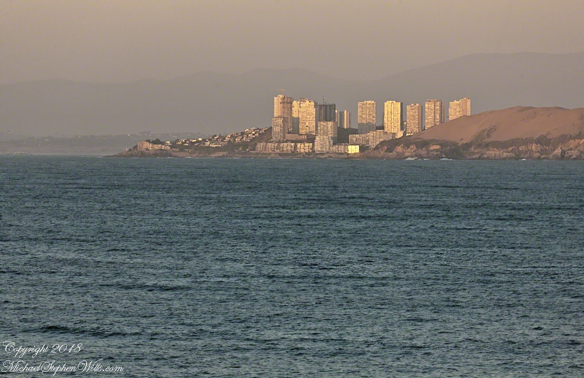
On the northern tip of Valparaiso Bay Punta Concon, the City of Concon and tall sand dunes also called Concon reflect the sun’s light 10 minutes before sunset. The city is the fastest growing in Chile, 106% between 1992 and 2010 (28,157 to 50,000). The Regatta is now well underway and I returned to the “long” lens here set to the 3oo mm focal length maximum.
On the other side of Punta Concon (Concon Point) the Aconcagua River flows into the Pacific. Although the river has the same name as Aconcagua Mountain, the head waters are in Chile, 12 miles from the slopes of the mountain in Argentina.
A swivel of the camera brings Aconcagua Mountain into view. This former volcano, dead now for 8 – 10 million years is the highest mountain in North and South America. The next highest peak is in the Hindu Kush, 10,000 miles to the northeast. That said, Aconcagua is less challenging than Denali of Alaska and so many people attempt it each year human excrement is a major pollutant there. We are looking here over the Vina Del Mar Valley 95 miles to Aconcagua Mountain in Argentina.


Thoughts on Departures
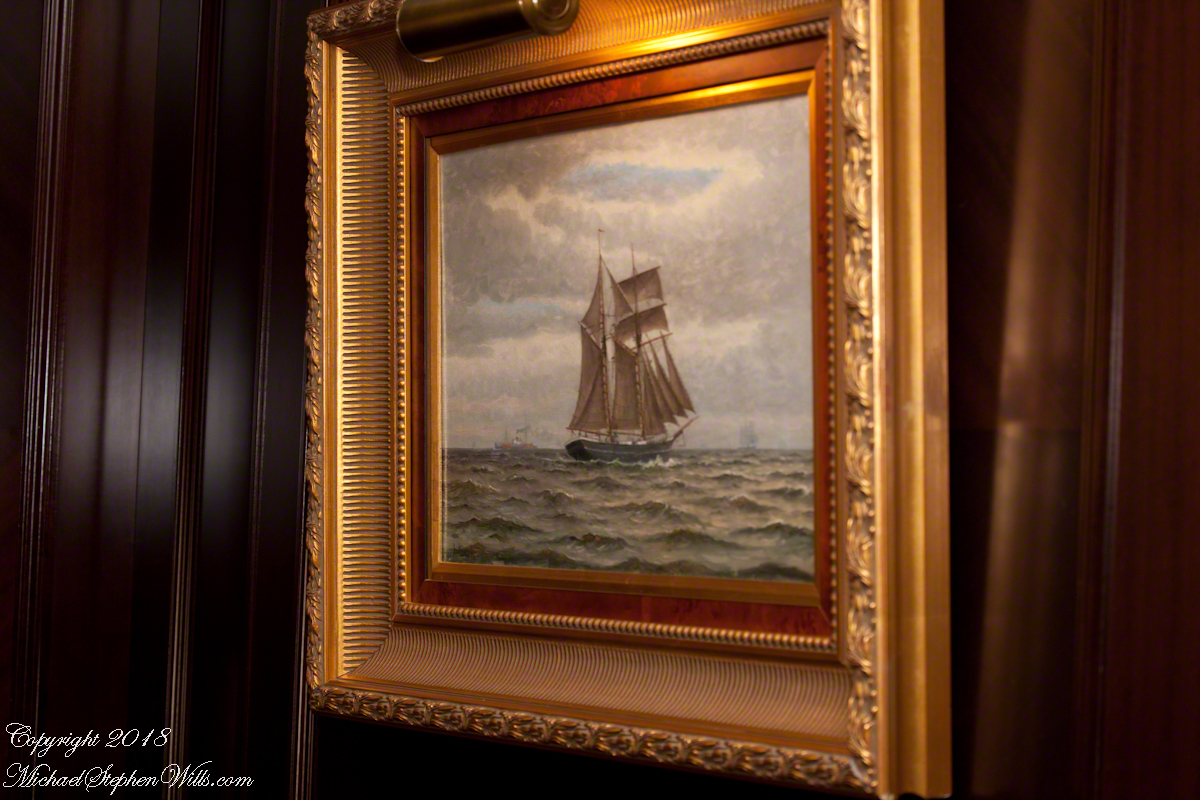
Late afternoon of our departure from the Chilean port city Valparaiso, Pam and I enjoyed entertainments on the Regatta. This painting of a ship under sail brings to mind the history of Valparaiso, as a place only reachable by ship, clinging to a narrow ledge on the Andes, barely existing for centuries, repeatedly destroyed by earthquakes until the 19th century brought sailing vessels such as this, growth and prosperity. Major earthquakes hit the years 1730, 1822, 1839, 1873, 1906, 1907. After 1907, the city was rebuilt anew in the modern form. The inhabitants must enjoy spot, naming it “Vale of Paradise.”
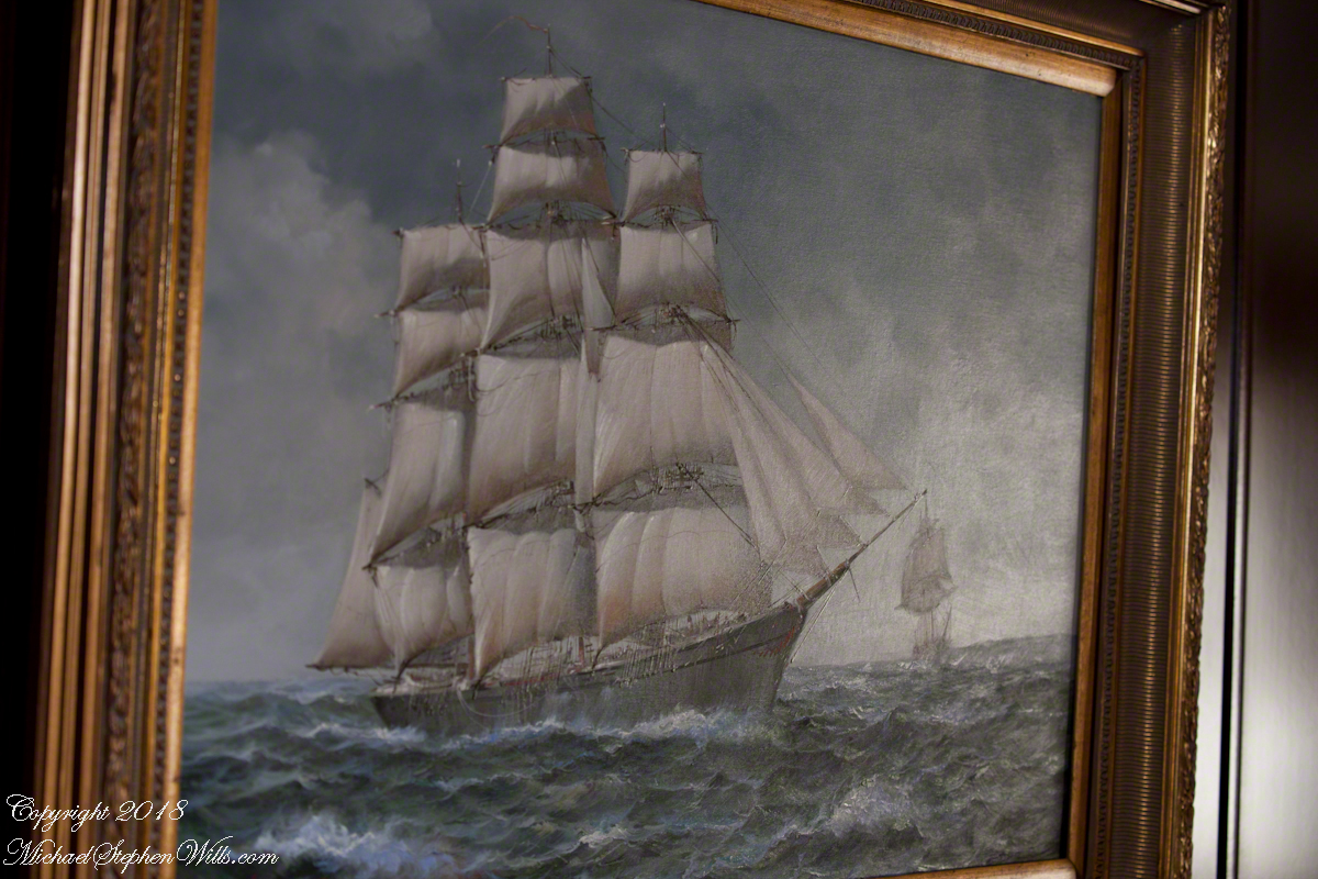
While, in the 21st century the city enjoys a refreshment of an influx of artists and visitors such as the Regatta, the danger of the next massive quake is ever present and unpredictable.
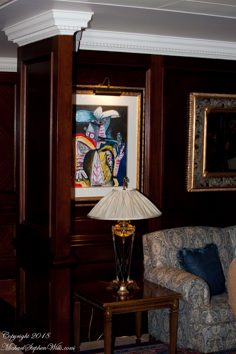
As we enjoyed the artwork….
….a pianist entertained us.

As usual, I was carting photography equipment to capture the moments as the afternoon moved towards…
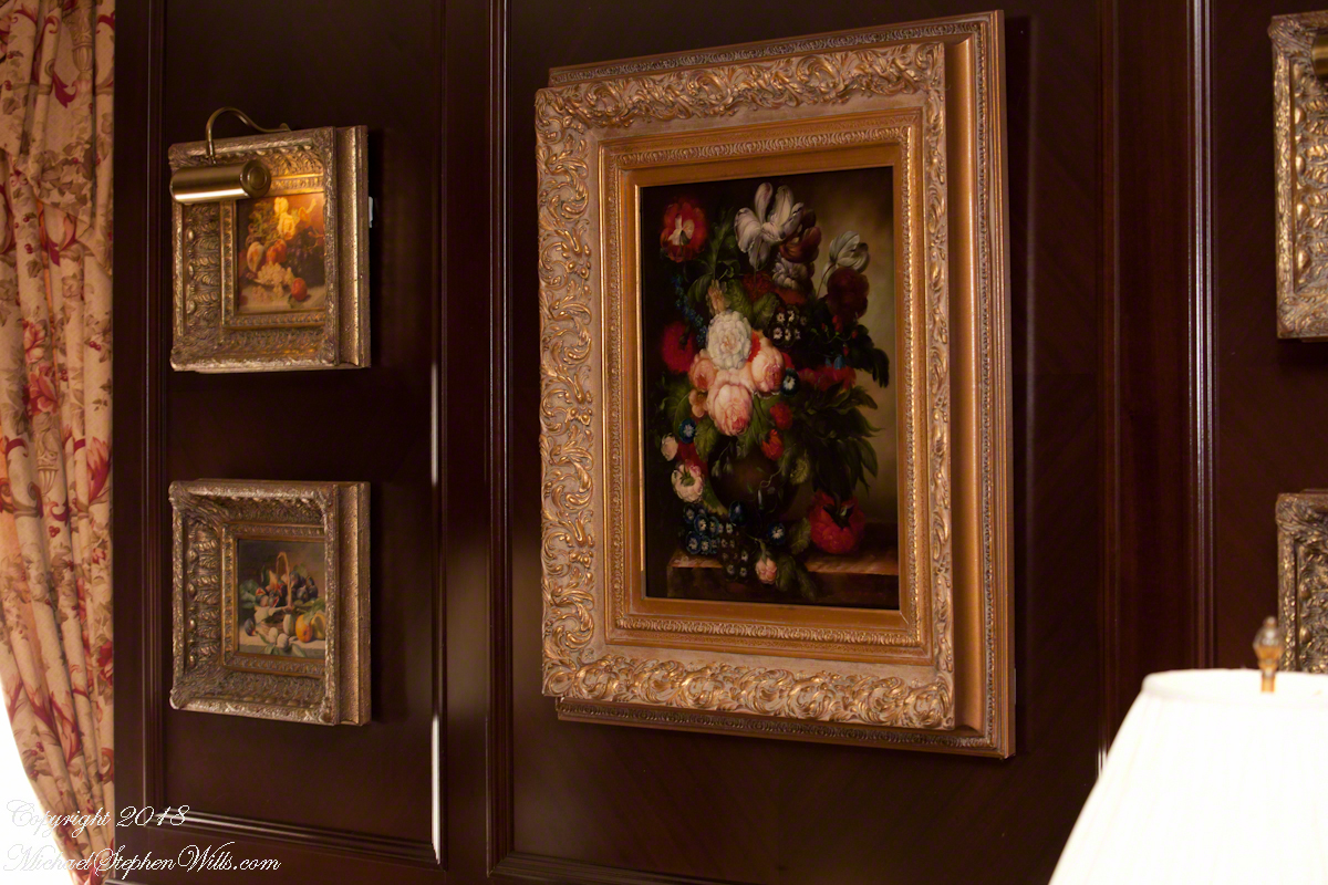
….the scheduled departure among still life painting in the style of the Dutch masters.
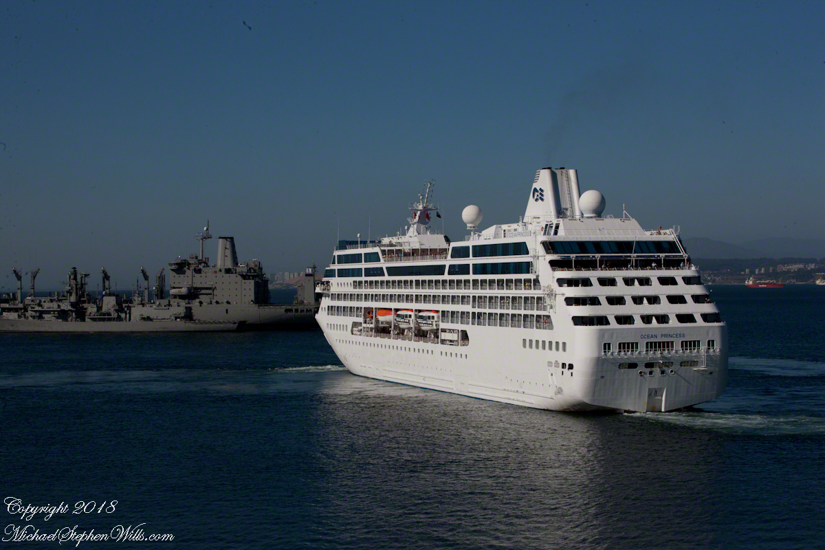
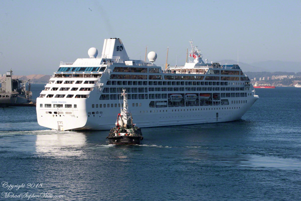
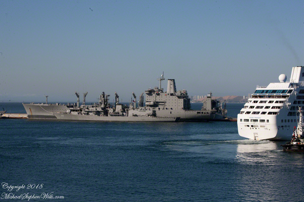
That day I chose the upper decks as the best vantage point. From there, Pam and I viewed the departure of a similar ship to the Regatta, the “Ocean Princess.” It must have been the last voyage of the Princess under that name as, the same year, it was acquired by the Oceania line, refurbished, relaunched as the “Sirena”.
The Chilean navy base and Naval Academy is there. The Ocean Princess navigated around this docked destroyer…..
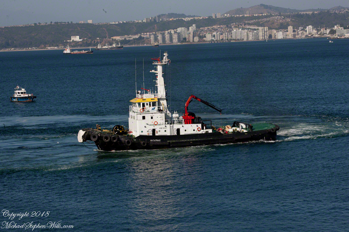
…with the assistance of the tugboat Alcatraz, a name derived from the Spanish word for pelican as in “La Isla de los Alcatraces” (Island of the Pelicans) where the former Alcatraz prison was built in San Francisco Harbor. Spanish speakers think of birds when viewing the tub boat. Americans think of prisoners (escaping) and San Francisco. Unlike San Francisco Harbor, Valparaiso Bay is a semi-circle open to the ocean, the harbor is on the southern, north facing (away from the ocean) shore, protected by a long (3,000 foot) breakwater along which the Chilean war ships dock. We are viewing the Alcatraz after most of the work for the Ocean Princess departure was done.
The north end of the bay is residential, behind the towers are homes arrayed on the hillside, the only land available.
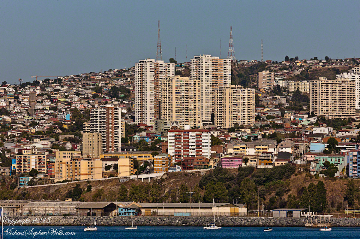
Much of the harbor and city business district, in the foreground (below), on the south side is on land reclaimed from the sea.
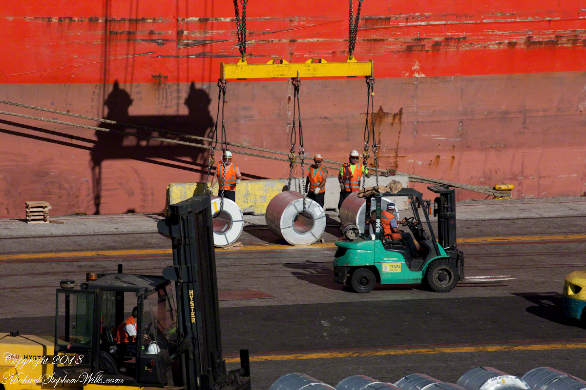
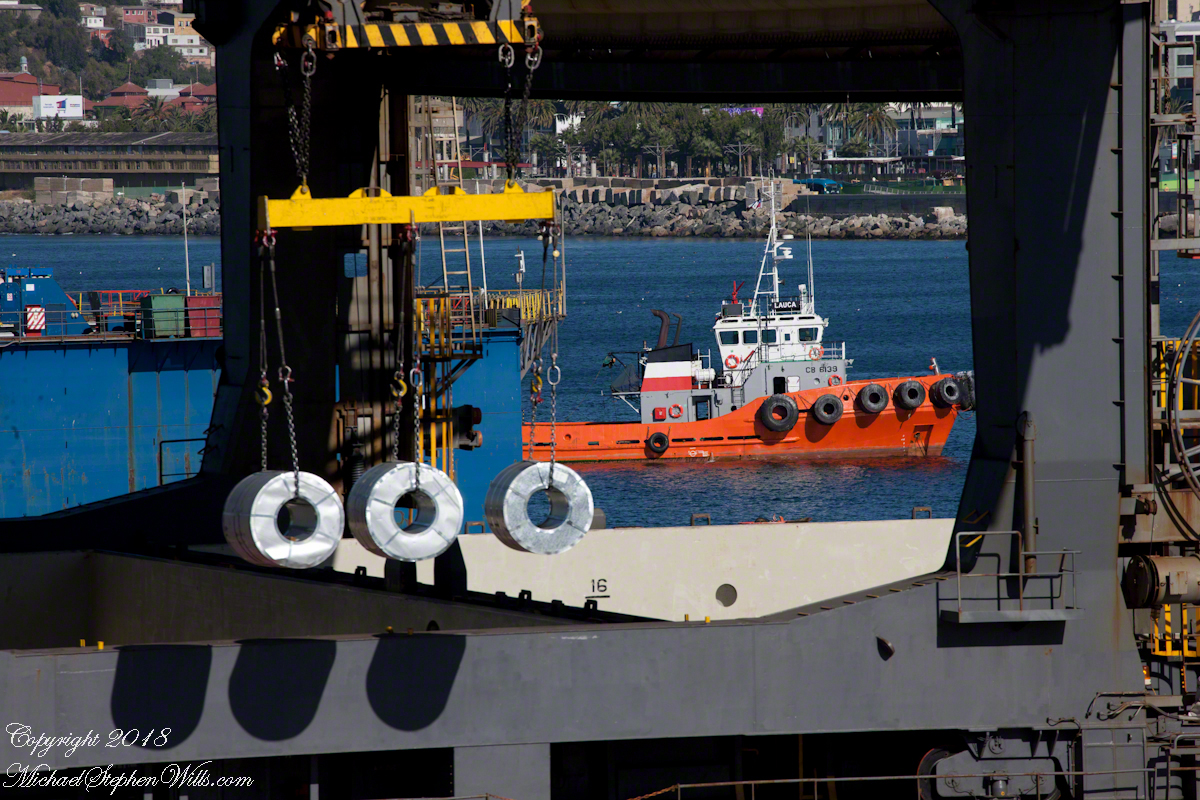
All around the Regatta was a working port. Here rolls of cable (wire?) are prepared for hoisting onto a cargo ship. Note the hawsers, taught under the strain, between the workmen and the ship hull.
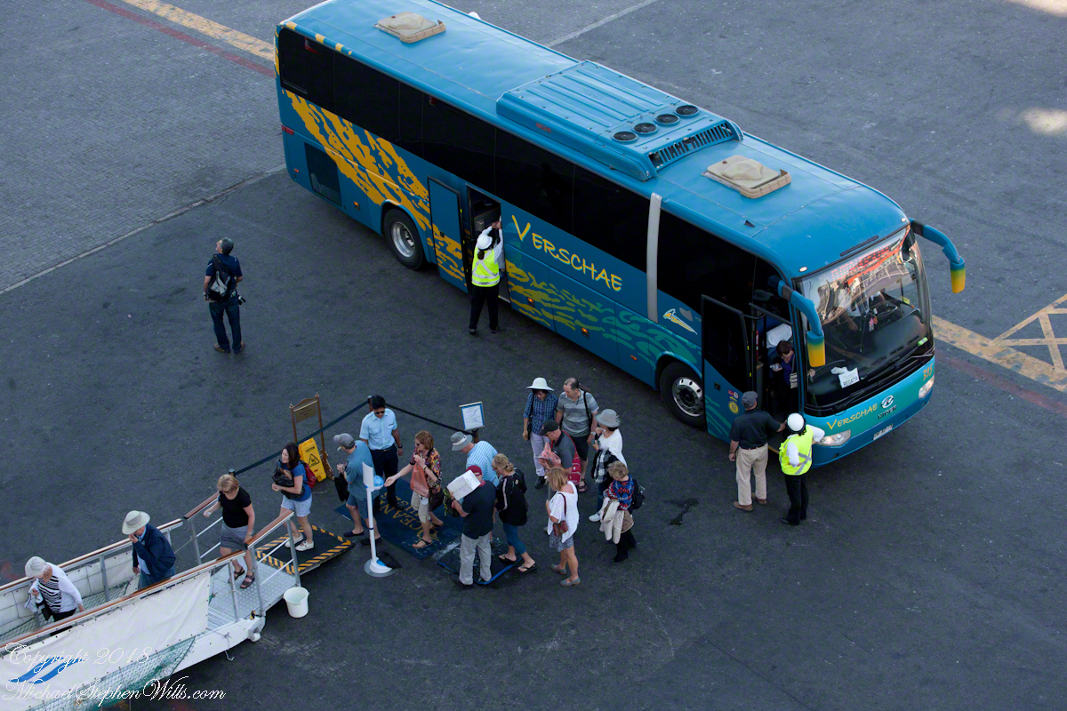
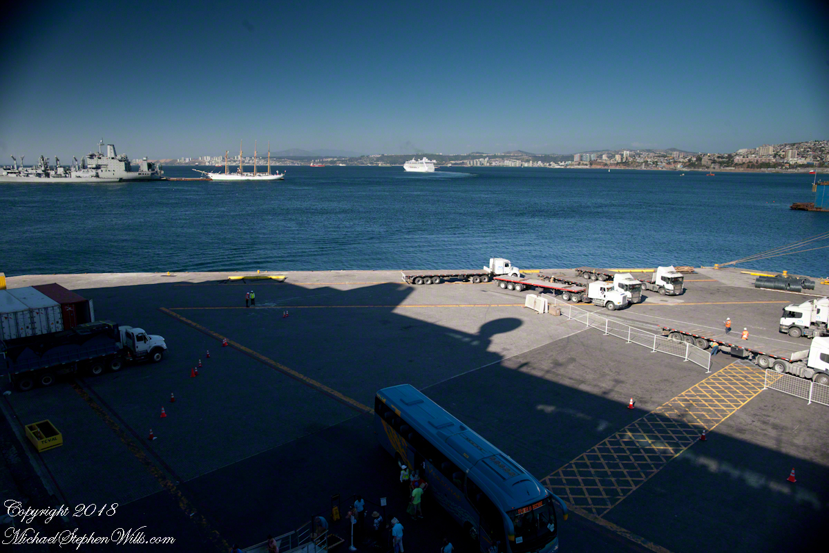
Passengers board the Regatta from the last tours. I expect this is the trip to Santiago. Most of the dockings the Regatta was surrounded by the port, the only way to access the city was on a tour bus as the port activity made walking too dangerous.
I can only guess the role the Alcatraz is playing here…..
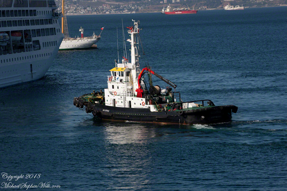
…. probably it is positioned to give the Ocean Princess a nudge if the harbor pilot misjudges the turn around the breakwater and warships. In a harbor, a ship’s crew passes control to a harbor pilot who knows the navigation challenges much better than is possible for them.
Today, as 99.9% of all days, the pilot makes the turn safely. Here is a better view of the warship.
Looking back toward the harbor, the crane is hoisting those rolls, the tug boat “Lauca” framed by the superstructure of (I think) the crane.
The Ocean Princess is will under way, as shown by the long wake. As luck will have it, When the Regatta follows the sun will be much lower, the light better for photography. At the stern of the warship, the masted vessel is a training ship for the Chilean Naval Academy.
Copyright 2022 Michael Stephen Wills All Rights Reserved