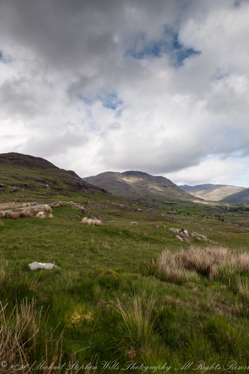
We packed a solid Manfrotto studio tripod into a tiny rental car for photographs such as this one. After the photograph of yesterday’s post, I swiveled the camera a few degrees, the steady mount retaining scene orientation otherwise.
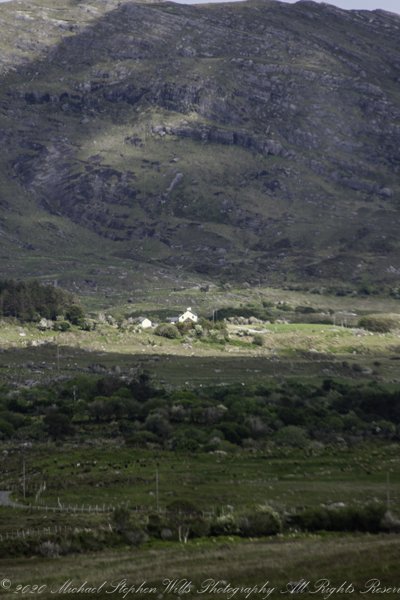
The mountain in the middle distance, dappled with light, is Mass Mount, the townland is named for this landform. Kildromalive, in Irish Choill Droma Limh, translates to “Wood Ridge.”
Copyright 2021 Michael Stephen Wills All Rights Reserved
Preparing for our tour of the island I acquired an “L” grade Canon lens, the 24mm f/1.4L USM. It is used to good effect here and in the following photographs from our traverse of Healy Pass, a “famine road.”
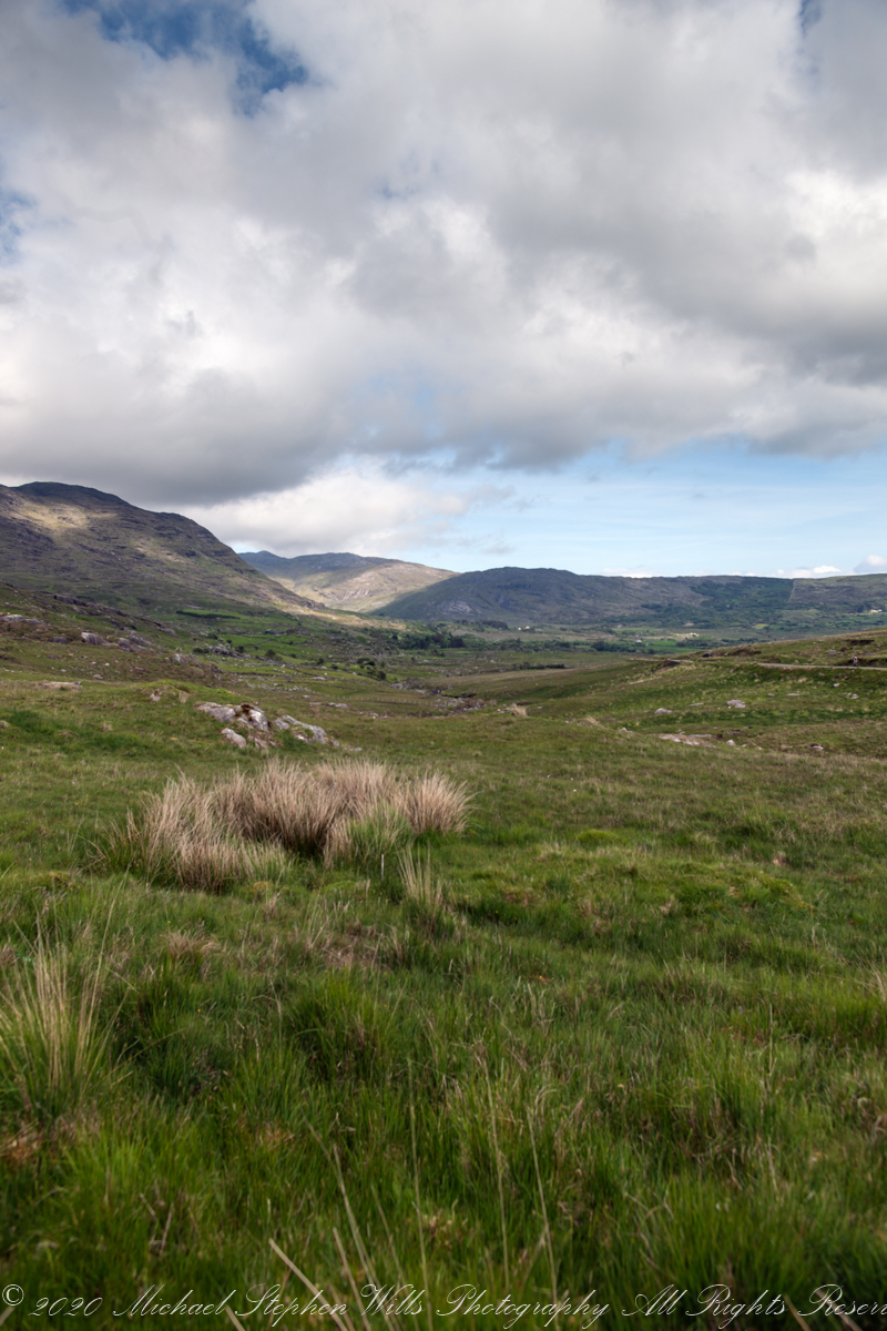
Here we are at the southern edge of the townland surmounting the pass, Clashduff, in English. In Irish, na Claise Duibhe translates to “Black Ravine.” There are ten Republic of Ireland townlands with this name including one in the middle of Cork City near Finbar Cathedral.
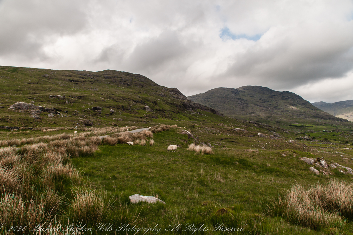
Looking down Healy Pass from Clashduff townland. In view are these townlands Kilcaskan, Canshanavoe, Glenlough and Kildromalive.. Caha Mountains, Beara Peninsula, County Cork, Republic of Ireland
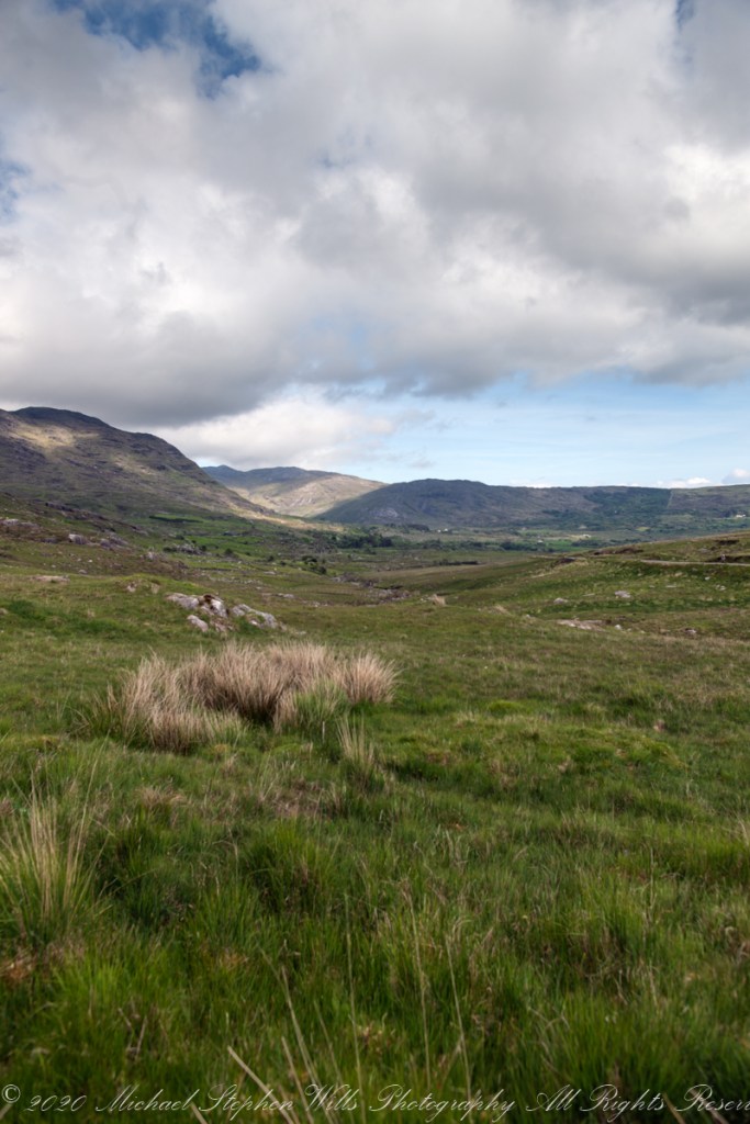
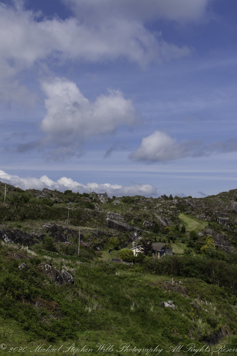
I’ve used portrait mode here, with the “wide angle” capturing the clouds.
Copyright 2021 Michael Stephen Wills All Rights Reserved
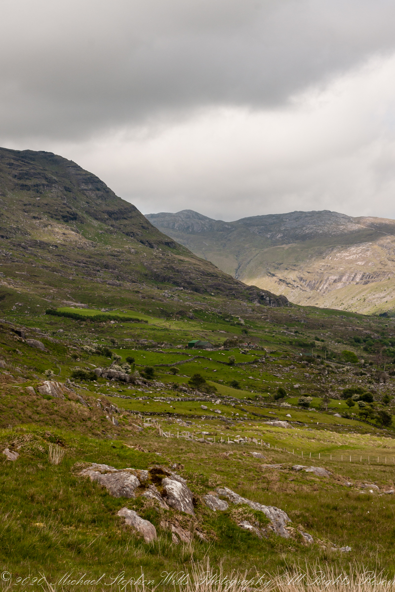
Inchintaglin is the townland name, the land is two mountains, the near ending with the above ridge, in the northeast. When the road breaches below the ridge the land beyond opens up.
Copyright 2021 Michael Stephen Wills All Rights Reserved
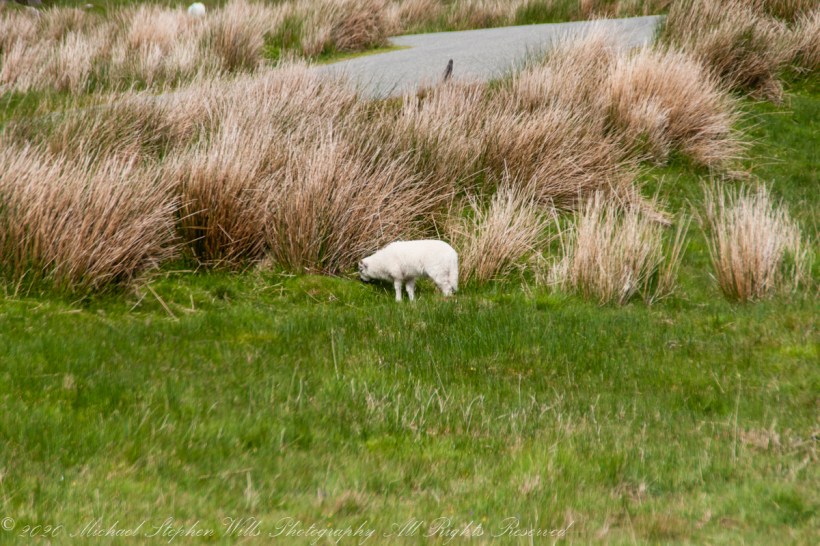
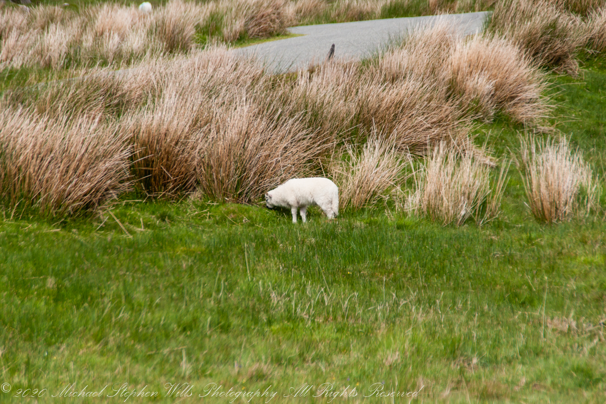
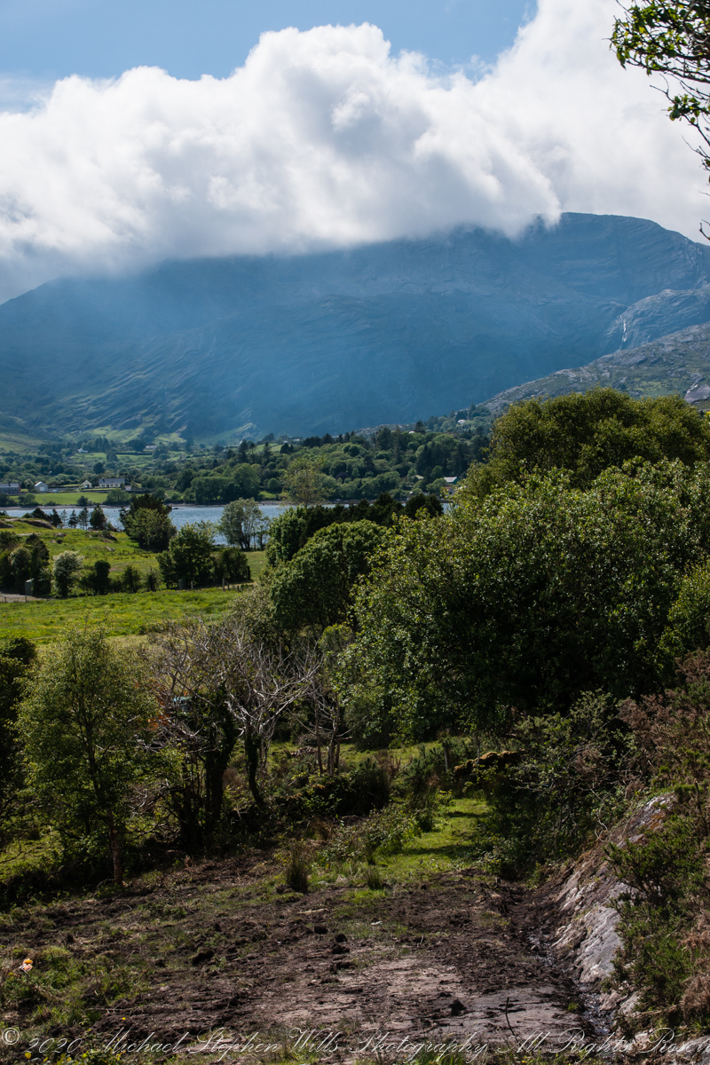
Healy Pass, R574, ascends along lower slopes of Adrigole Mountain (AKA Hunger Hill). We passed several roads descending to this valley, providing access to farms. Four townlands are in view, the Irish language name in parenthesis: Kilcaskan (Cill Chascann), Dromgarvan (Drom Garbhain), Canshanavoe (Ceann Seanbhoith), and Inchintaglin (Inse an tSeaglainn), where I stand.
O’Sullivan is the most common surname of Beara Peninsula. Here is a biography of one O’Sullivan born Inchintaglin townland (you’ll need to read Irish or translate the page): O’SÚILLEABHÁIN, Francis (1889–1956).
Copyright 2021 Michael Stephen Wills All Rights Reserved
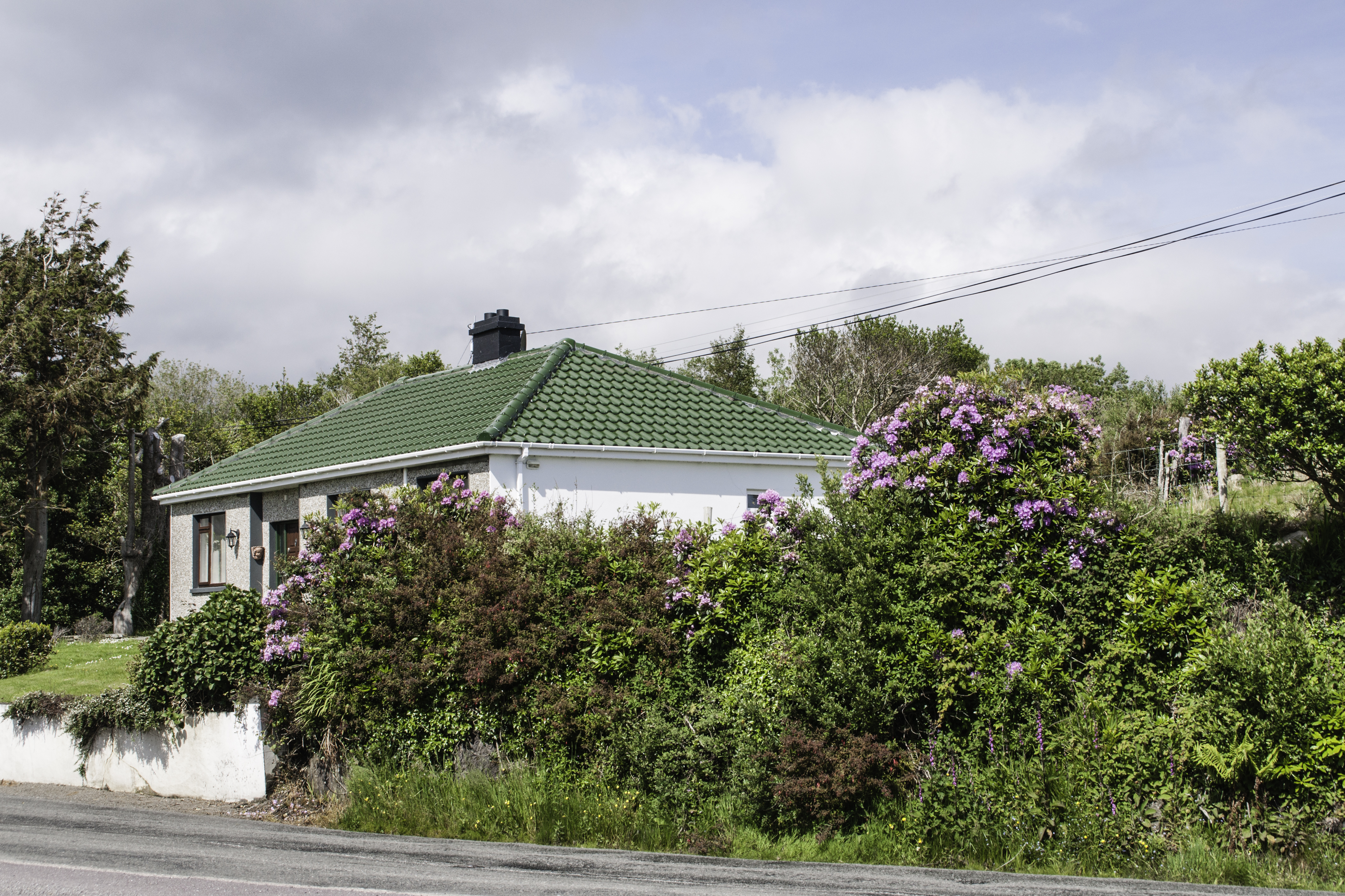
Continuing from yesterday’s post, on R572, before turning onto Healy Pass (R574) at Adrigole we stopped to take in this fine rhododendron bank. The massed bloom and color struck us. Happily, after there rhododendron became common.
Later, we were told the plant was considered invasive and needed control.
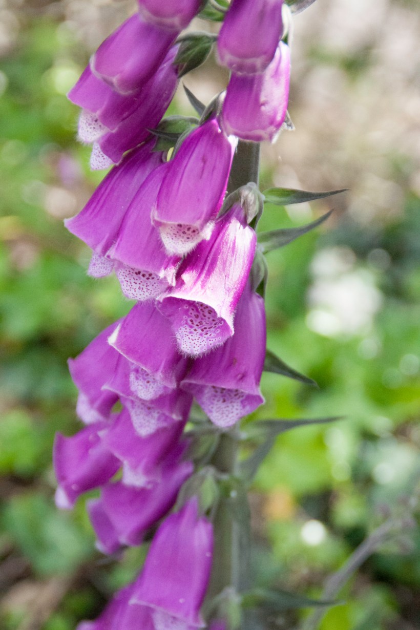
I turned around and foxglove was right there.
Copyright 2021 Michael Stephen Wills All Rights Reserved
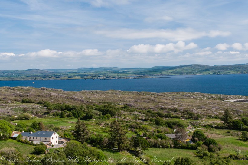
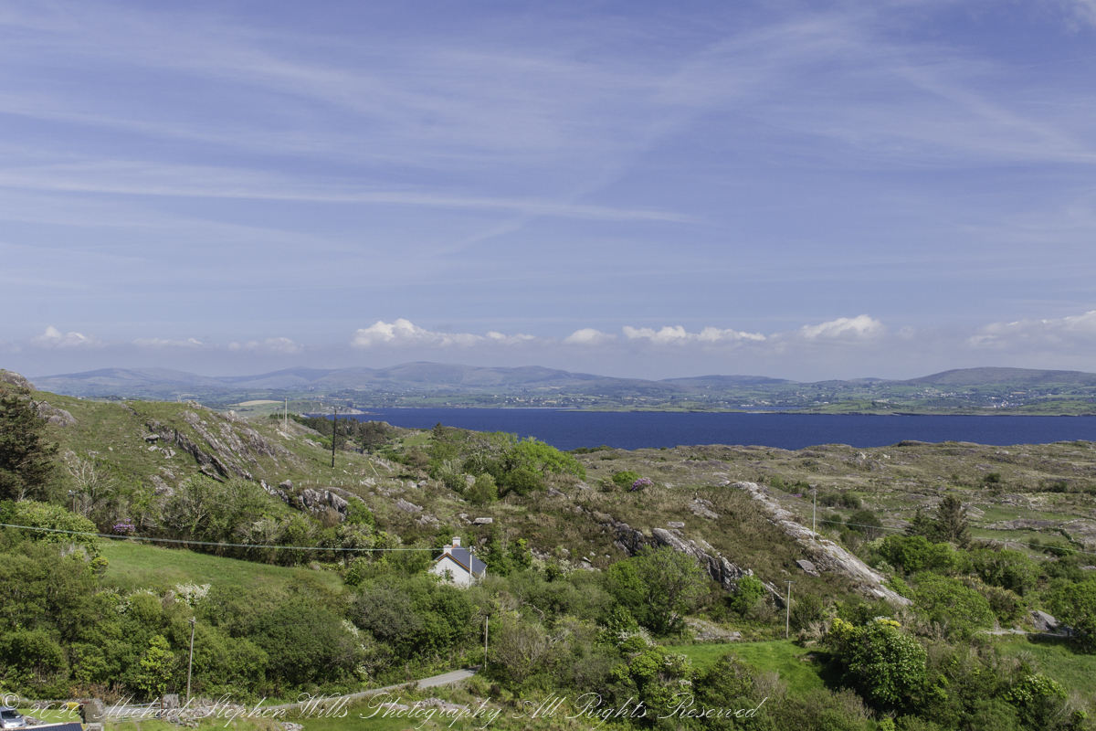
Our introduction to Beara peninsula was a turn onto R572, Sugarloaf Road, from Glenarriff, drive a few minutes to encounter this view view. So stupendous, we parked on a convenient turnoff. The Irish name for the townland is Thrá Chaisil, Tracashel in English. The meaning is “Strand of the Stone Fort.” A prosaic name is “Stone Fort Beach.” Here we look across Bantry Bay,
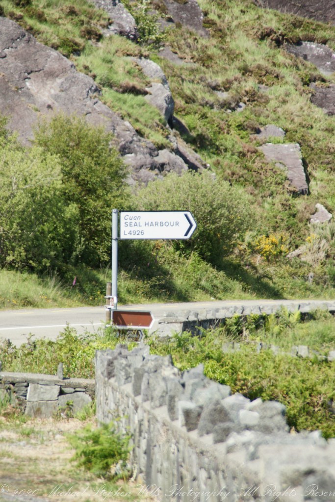
The location, lost for years, was rediscovered from this photograph. A signed place name. An unmapped place name, surprisingly.
Using date/time stamps, working backward from the Adrigole photograph of yesterday’s post, I used the Google Maps to navigate the route from Glenarriff to find the sign post and turnoff. The harbor in question (“Cuan” is Irish for bay) is named for the adjacent townland, Coolieragh, “An Chúil Iarthach” in Irish, translated as “Western Nook.”
The non-existant “Seal Harbor” is a hopeful renaming by some entrepreneur.
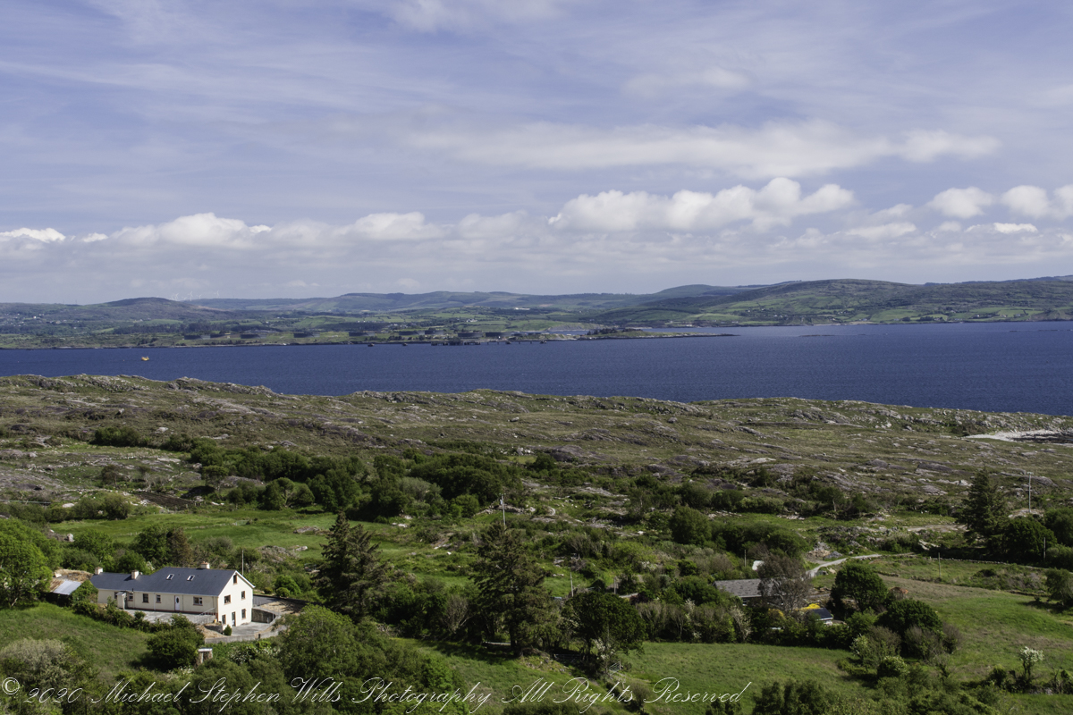
Another view across Bantry Bay.
Copyright 2021 Michael Stephen Wills All Rights Reserved
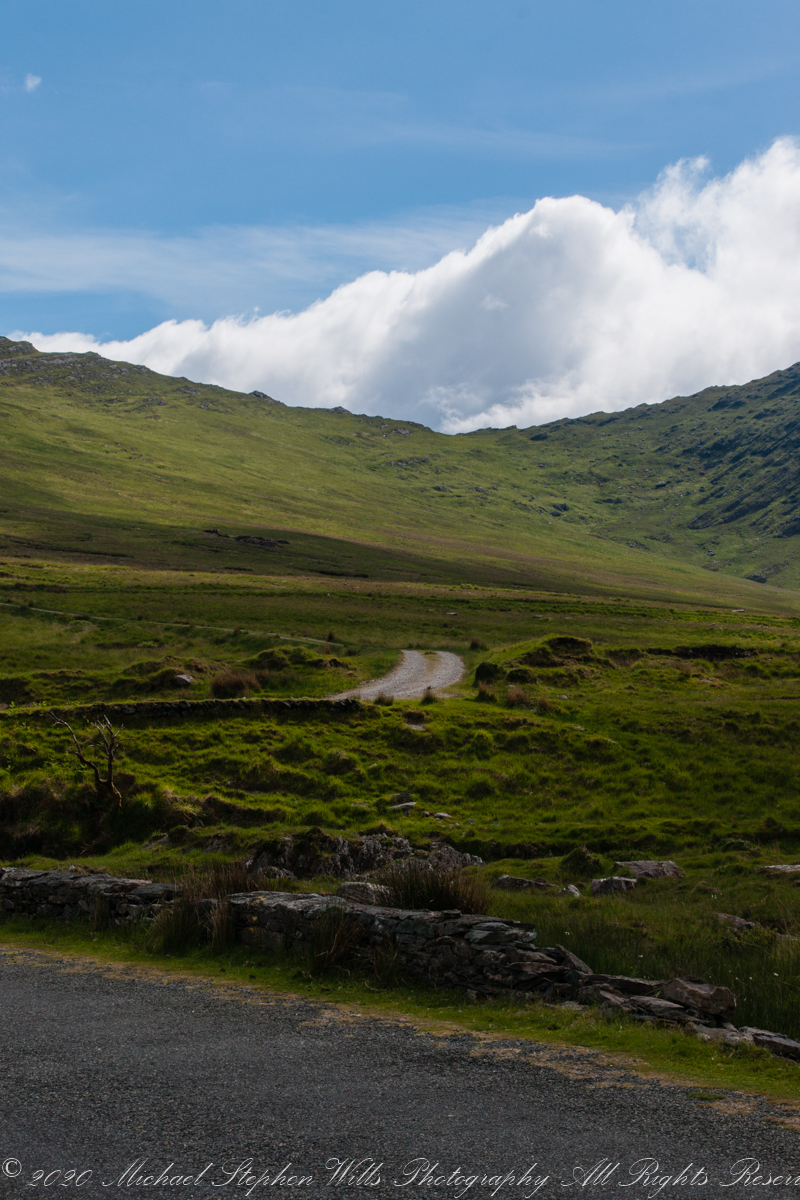
Driving the Beara Peninsula of western County Cork Pam and I were lucky enough to encounter a famine road traversing the Healy Pass. Formerly known as Kerry Pass, renamed in honor of Timothy Michael Healy, the first Governor-General, Irish Free State when the road was improved in 1932 shortly after his death. In Irish the name is Bealach Scairte.
Built by workers from the starving poor during the Potato Famine of the 19th century, one of the government projects to provide relief and improve infrastructure. This photograph is from where Healy Pass, R574, begins from the town Adrigole, County Cork. The mountain is the highest of the Caha Mountains of the Beara peninsula, is known by several names: “Adrigole Mountain,” “Hungry Hill,” “Cnoc Daod,” “Knockday,”j and “Knockdhead.” “Hungry Hill” is also a 1943 novel by Daphne du Maurier, thought to be set on the Beara peninsula.
The water is the Adrigole River.
References
Wikipedia articles for “Timothy Michael Healy” and “Healy Pass.”
Copyright 2021 Michael Stephen Wills All Rights Reserved