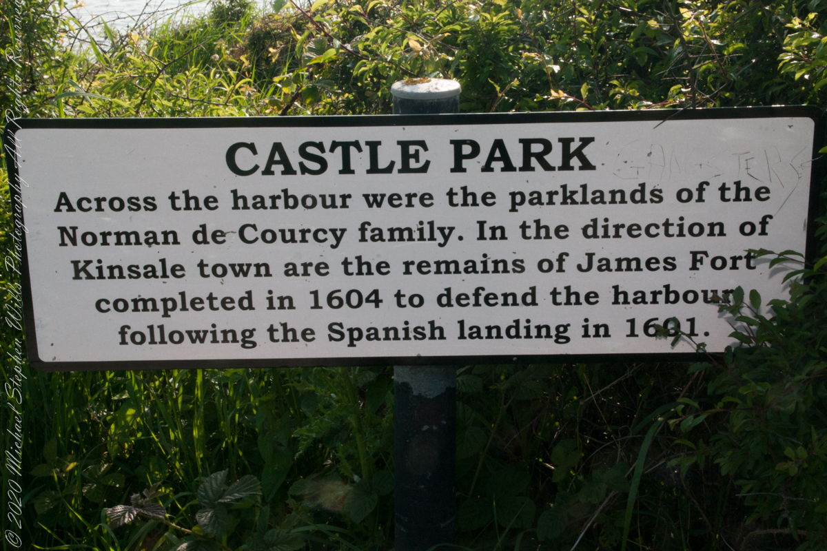
As Pam and I past the scenes of bucolic reverie this sign drew us back to the past. The reference to de Courcy is as a family of invading Normans. John de Courcy, without the King’s permission, launched an 1176 AD invasion of northeastern Ireland, what is now County Down, as an ultimately failed land grab. The history is murky, though apparently John de Courcy’s son Miles acquired the land referred to in the placard through the English King Henry II, awarded to Miles’ thieving, murderous Norman father-in-law Milo de Cogan in the 13th Century. Much later, the old (James) and new (Charles) Forts were constructed to defend Kinsale harbor.
Click any pic for a larger view, in a new tab, or a slide show. When using WordPress Reader, you need to open the post first.
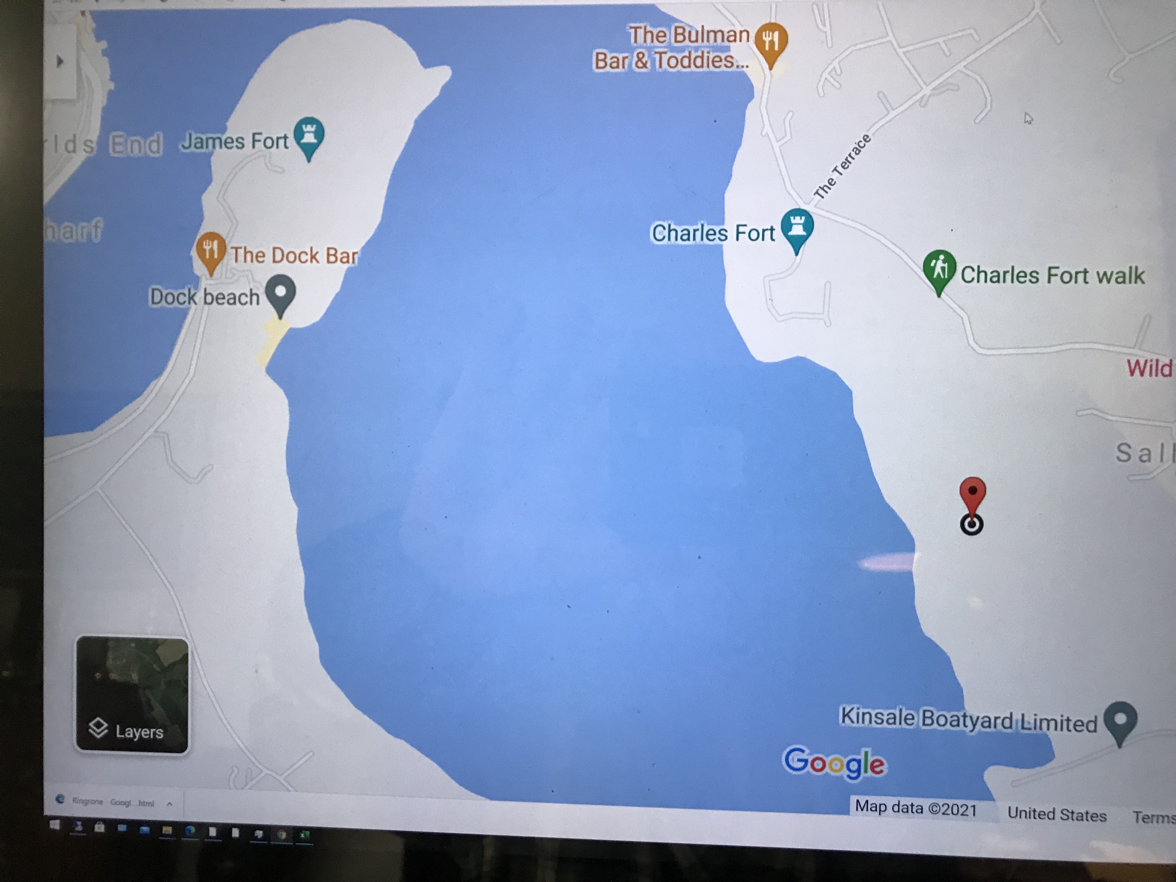
Here is a Google Maps screen capture showing the relationship of our position (the unnamed red drop-pin) on the right, Charles and James Forts and the de Courcy family parklands, the large blank area below the pin named “Dock beach.”
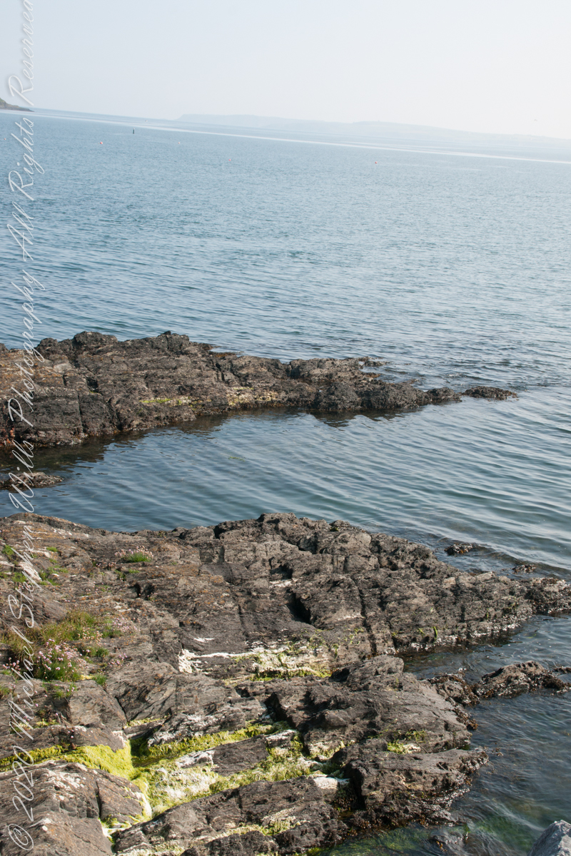
Here are the views looking toward the Celtic Sea, the Old Head of Kinsale and the cliffs at our feet.
Looking toward the Old Head of Kinsale in the far distance 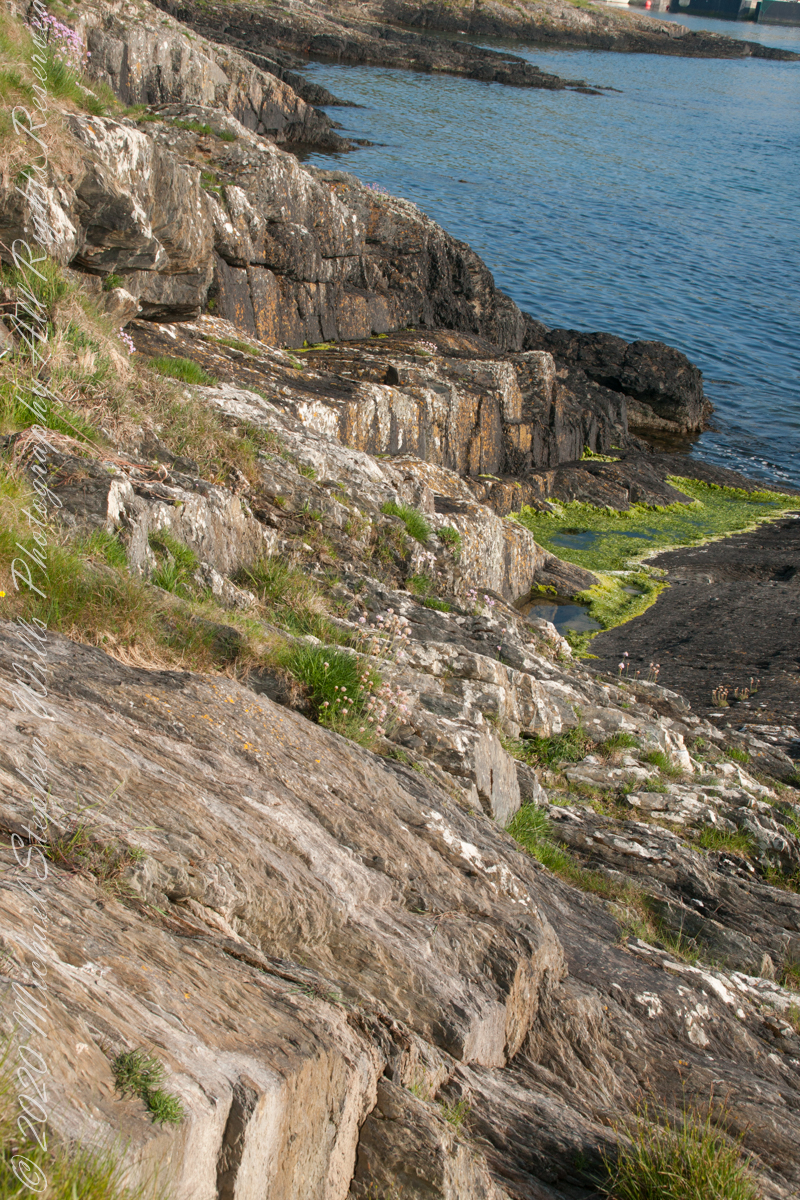
Rocky Cliffs at our feet 
Cliff and Sea Pink 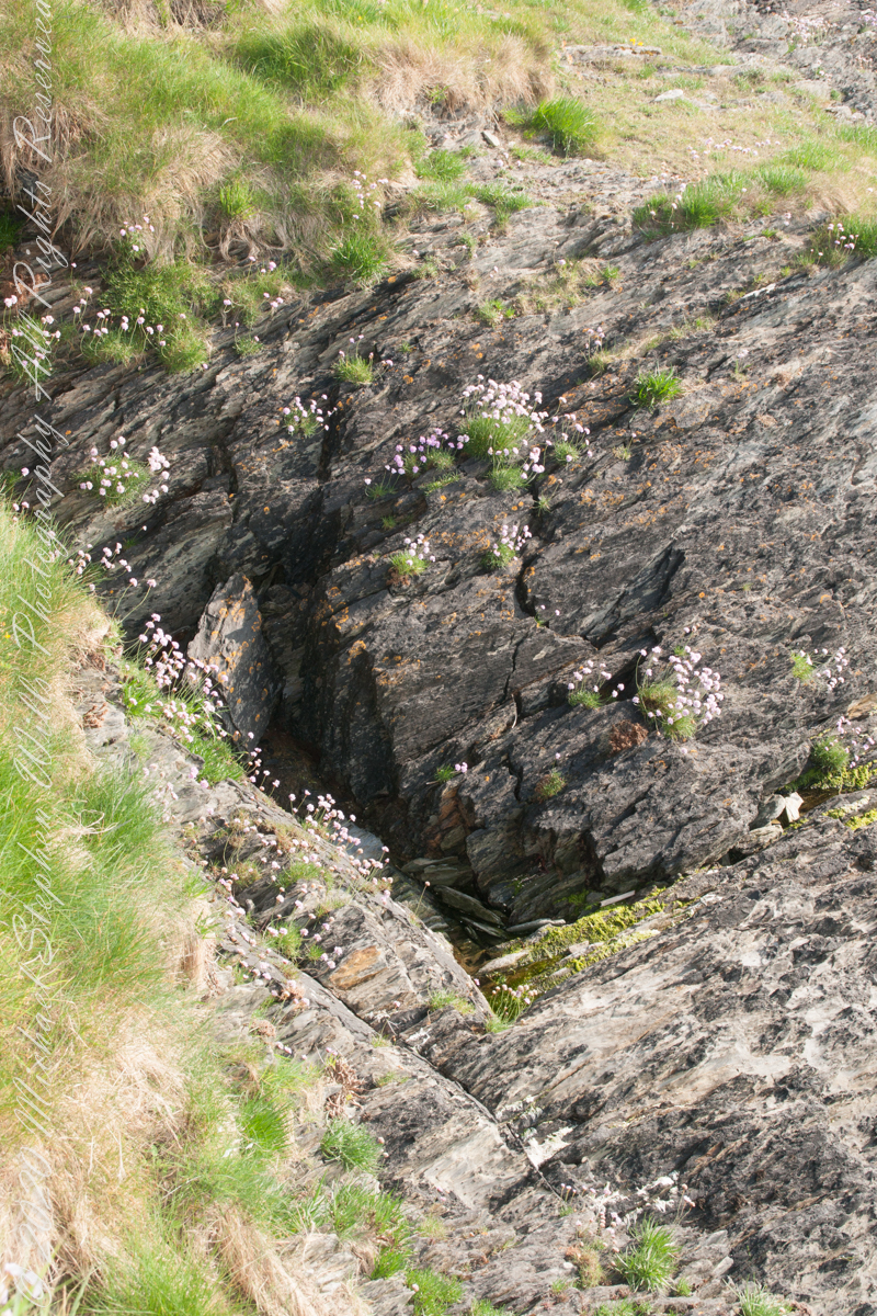
More Sea Pink decorating the rocks.
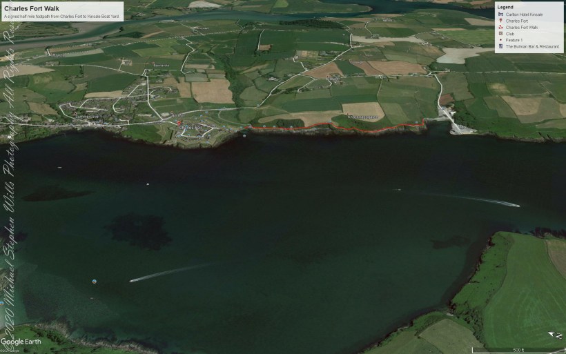
A half mile footpath, marked in red, leads from Charles fort along the shoreline cliffs, surmounted by working farmland.

Beautiful place with immense history. Thank you Michael.
LikeLiked by 1 person