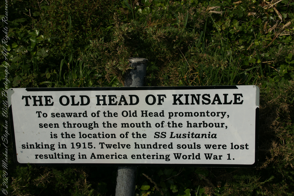
The view referred to by placard is to the right. The Old Head of Kinsale is the distant landform, looking right to left, is the portion that drops off to the ocean.
Click any pic for a larger view, in a new tab, or a slide show. When using WordPress Reader, you need to open the post first.
Here is a Google Maps screen capture showing the relationship of our position (the unnamed red drop-pin) on the right, and the Old Head of Kinsale landform, seen below the lable “Ballylane.”

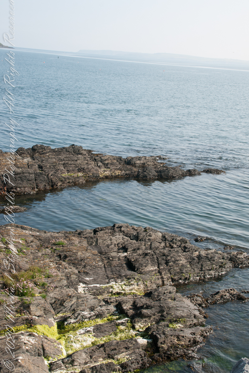
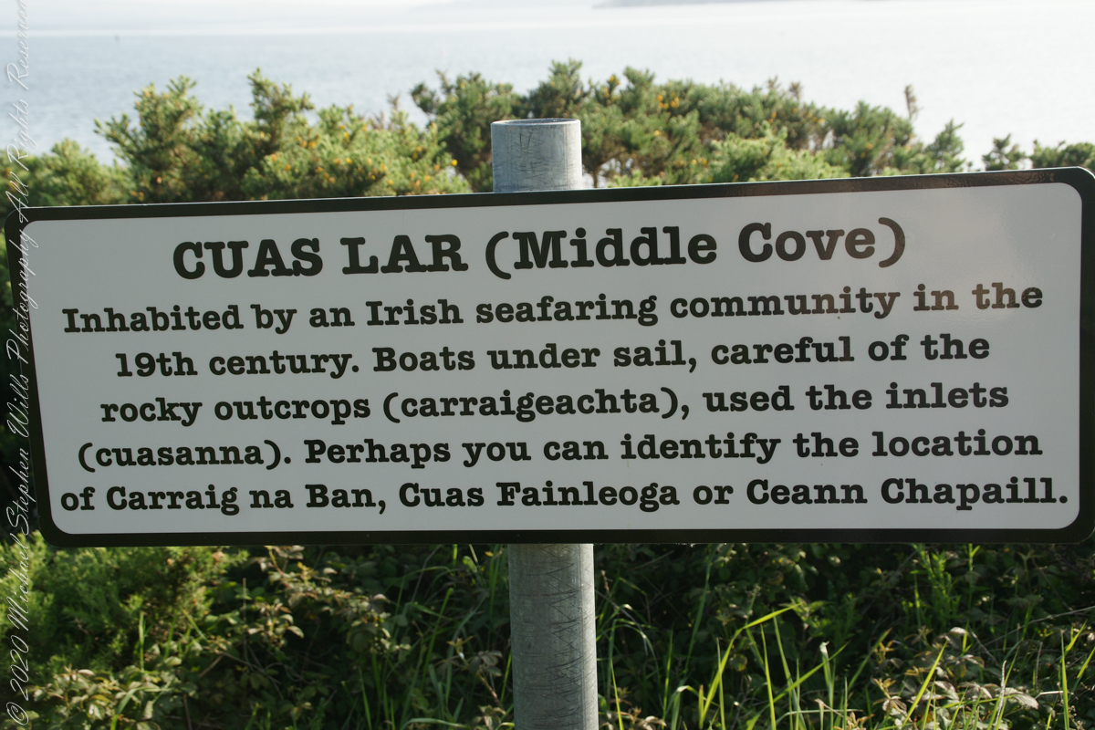
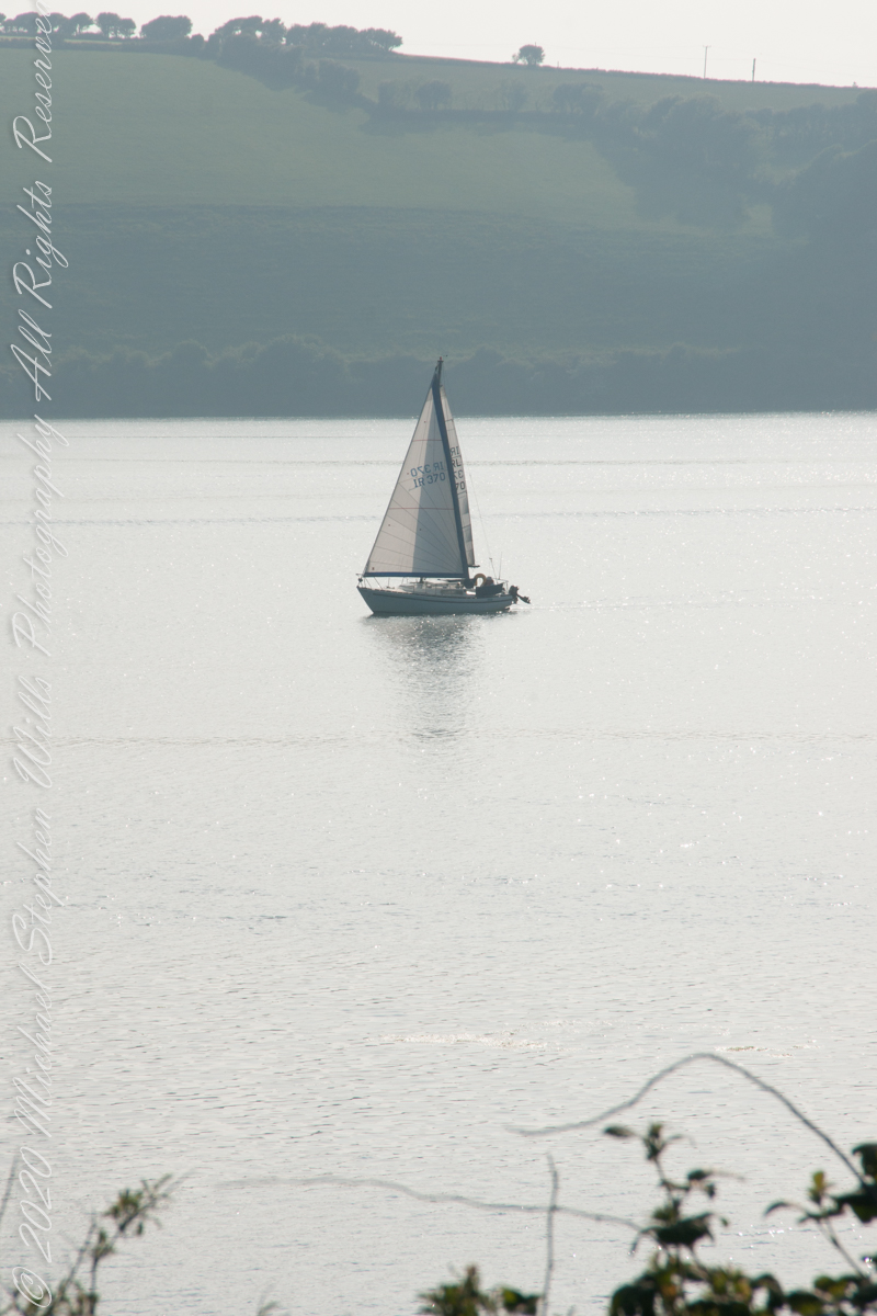
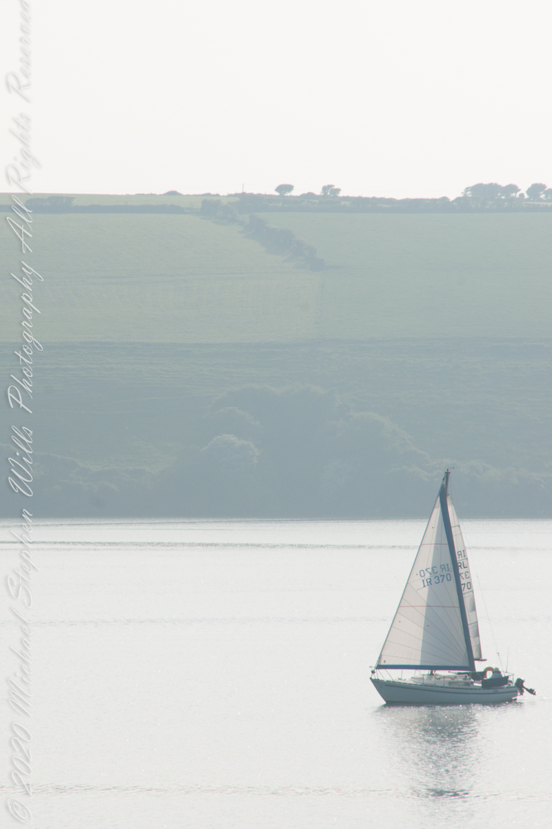
Here are the views looking toward the Celtic Sea, the Old Head of Kinsale and the cliffs at our feet.
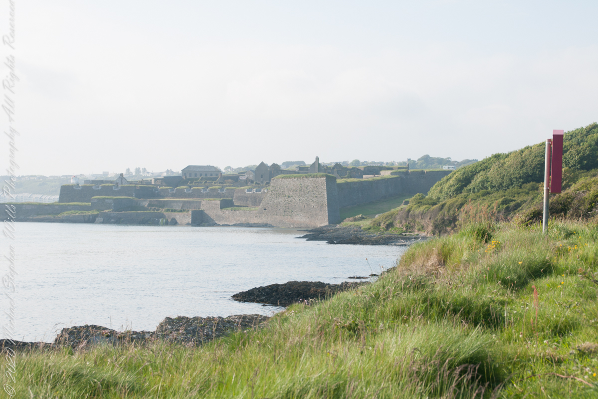
Looking back toward Charles Fort 
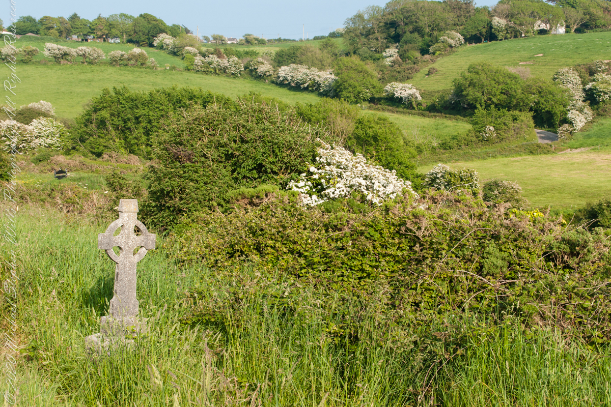
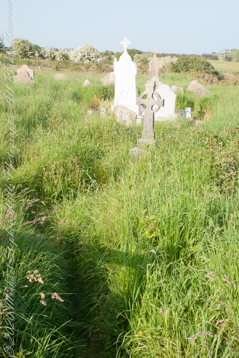
This cemetery is unmarked on the maps I use.
Here is a Google Earth view of our walk, the red line. The view is looking east from above the former “de Courcy family parkland.”
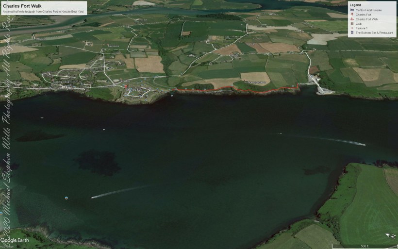
A half mile footpath, marked in red, leads from Charles fort along the shoreline cliffs, surmounted by working farmland.
