Click Me for my Online Gallery
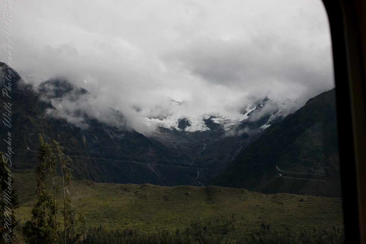
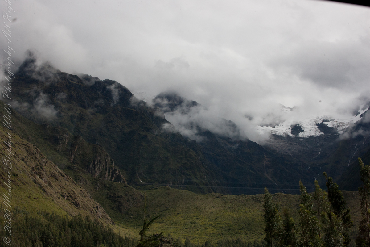
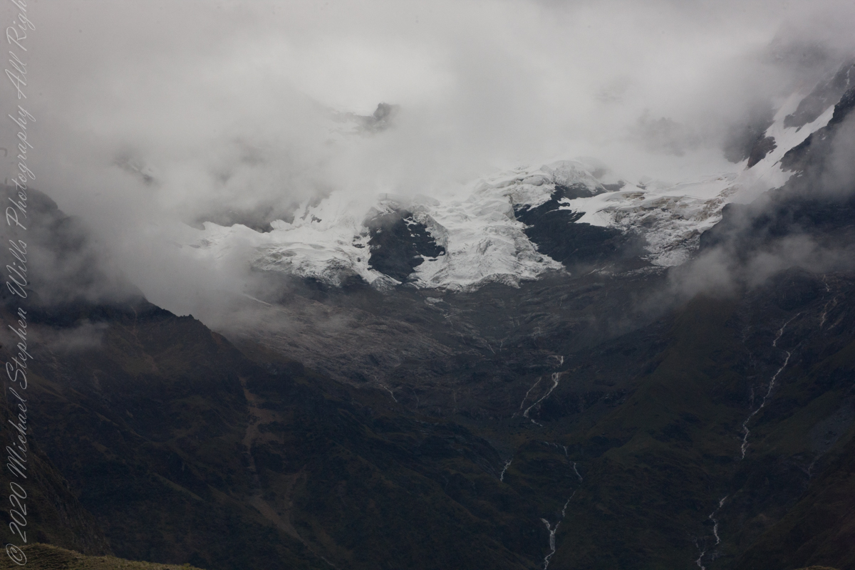
Our guide distracted us from the river by pointing out this glacier nestled among clouds. The following image from GoogleEarth features the peak, named Huayanay, on the upper left. PeruRail track follows the Sacred Valley floor at the foot of the cliff seen lower left and proceeding to the lower right. Another valley starts from Sacred Valley and goes south, carved by the Cusichaca river. Look closely to see the Patallacta Inca ruins above that same river. These were not visible from the train. A few minutes later we viewed another Inca ruin site.
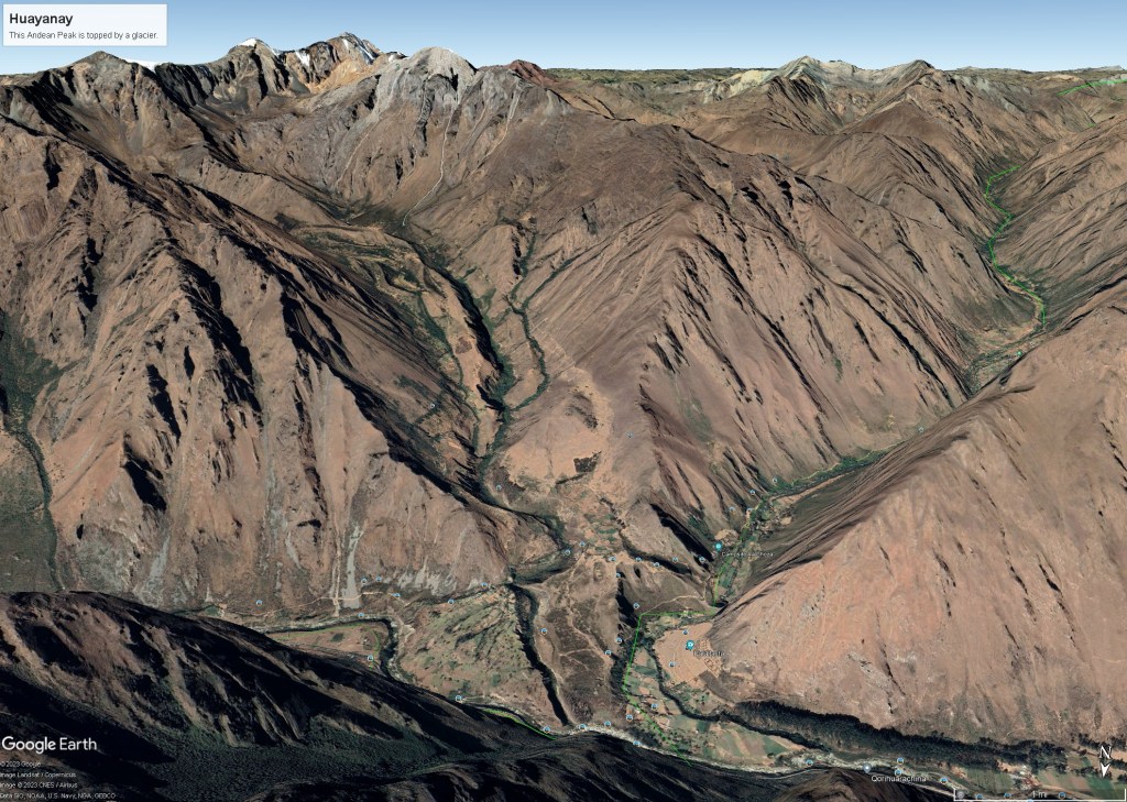
“Huayanay (Quechua for swallow) is a mountain and a massif in the Vilcabamba mountain range in the Andes of Peru, about 5,464 metres (17,927 ft) high.”
“The massif is located in the Cusco Region, Anta Province, Huarocondo District and in the Urubamba Province, Ollantaytambo District. Huayanay lies east of the Andean peaks Salcantay and Paljay.“
Reference: Wikipedia, “Huayanay.”
