Click Me for my Online Gallery

We boarded PeruRail at the Ollantaytambo station, destination Aguas Calientes and Machu Picchu
We boarded PeruRail at the Ollantaytambo station, destination Aguas Calientes and Machu Picchu
We boarded PeruRail at the Ollantaytambo station, destination Aguas Calientes and Machu Picchu

We boarded PeruRail at the Ollantaytambo station, destination Aguas Calientes and Machu Picchu
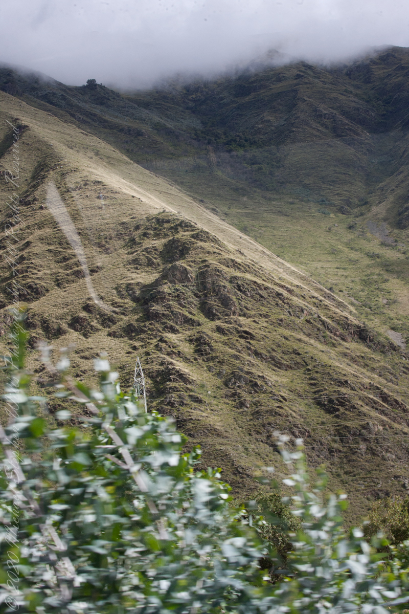
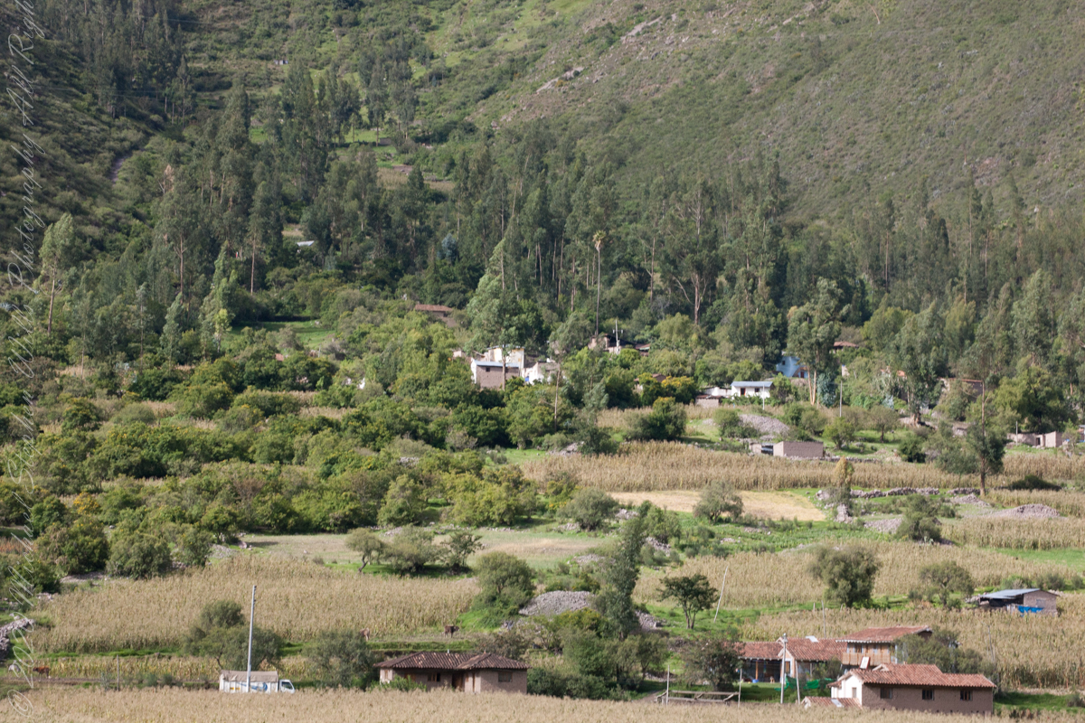
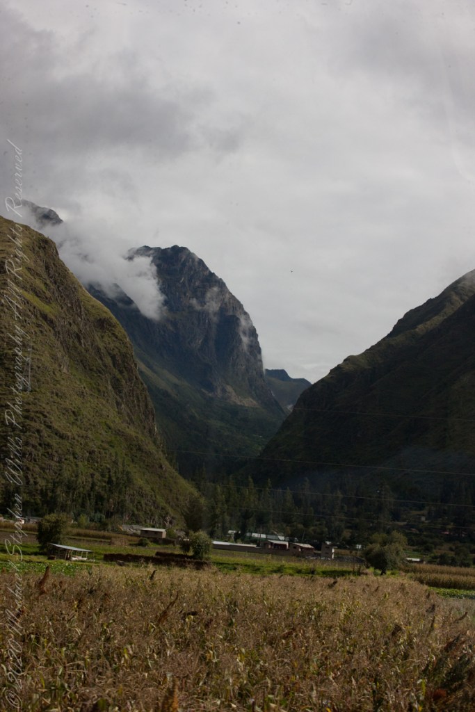
Chillca Village from PeruRail Train
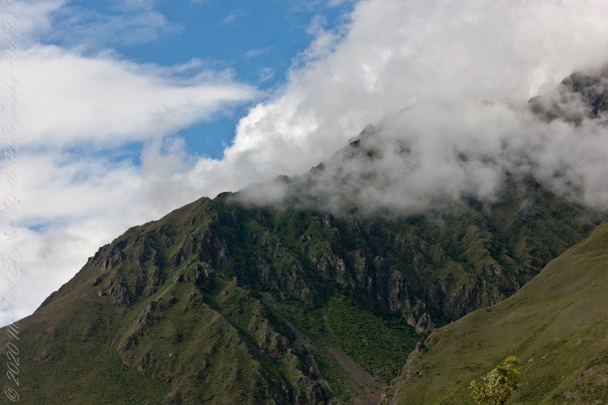
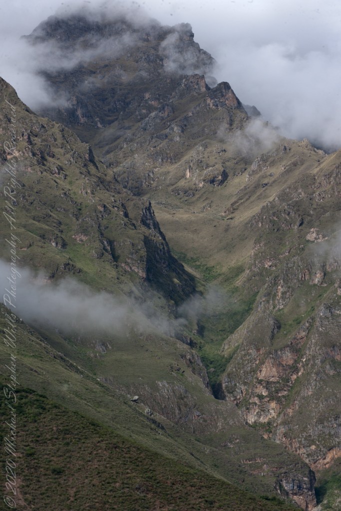
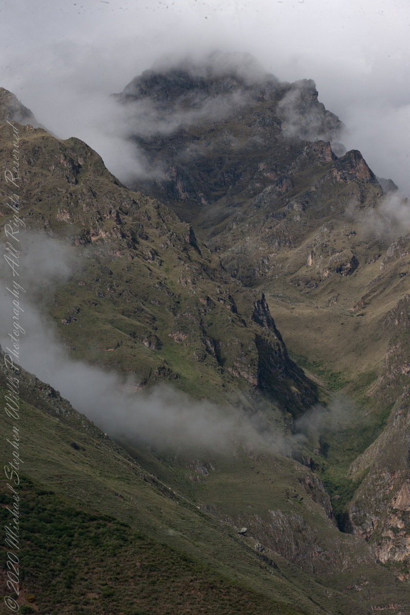
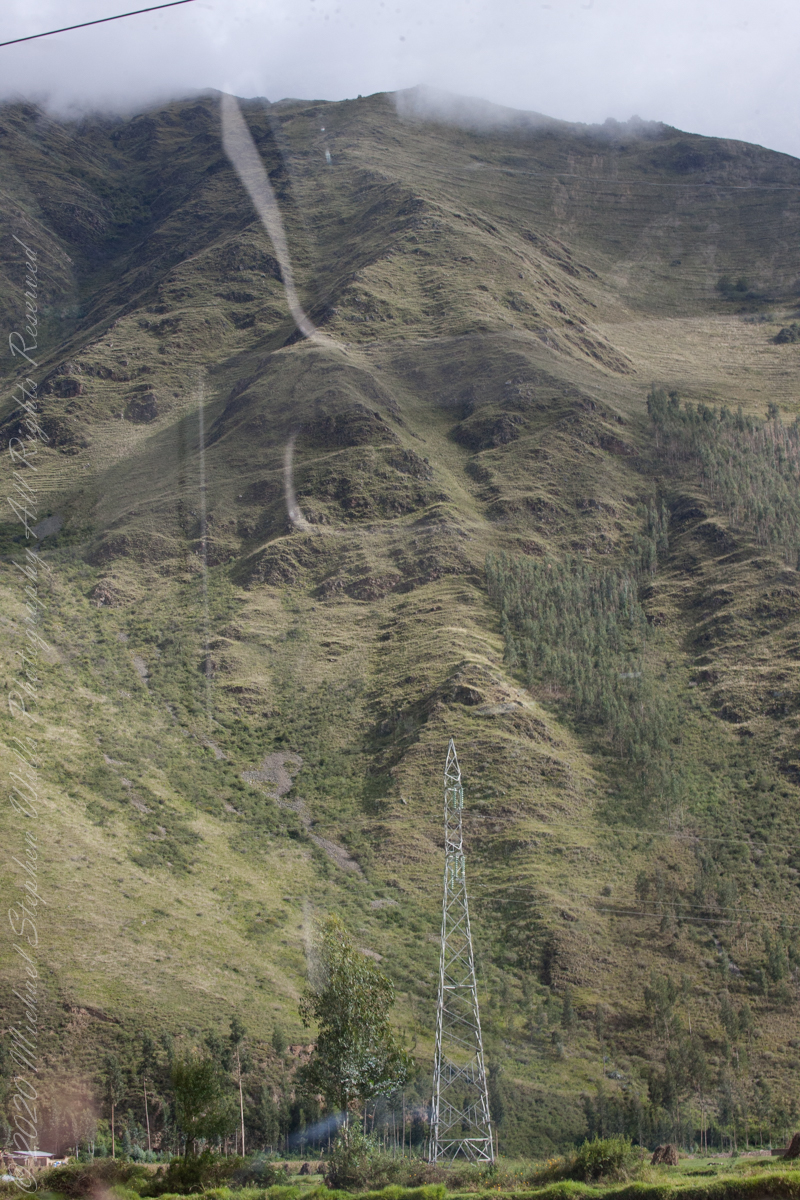
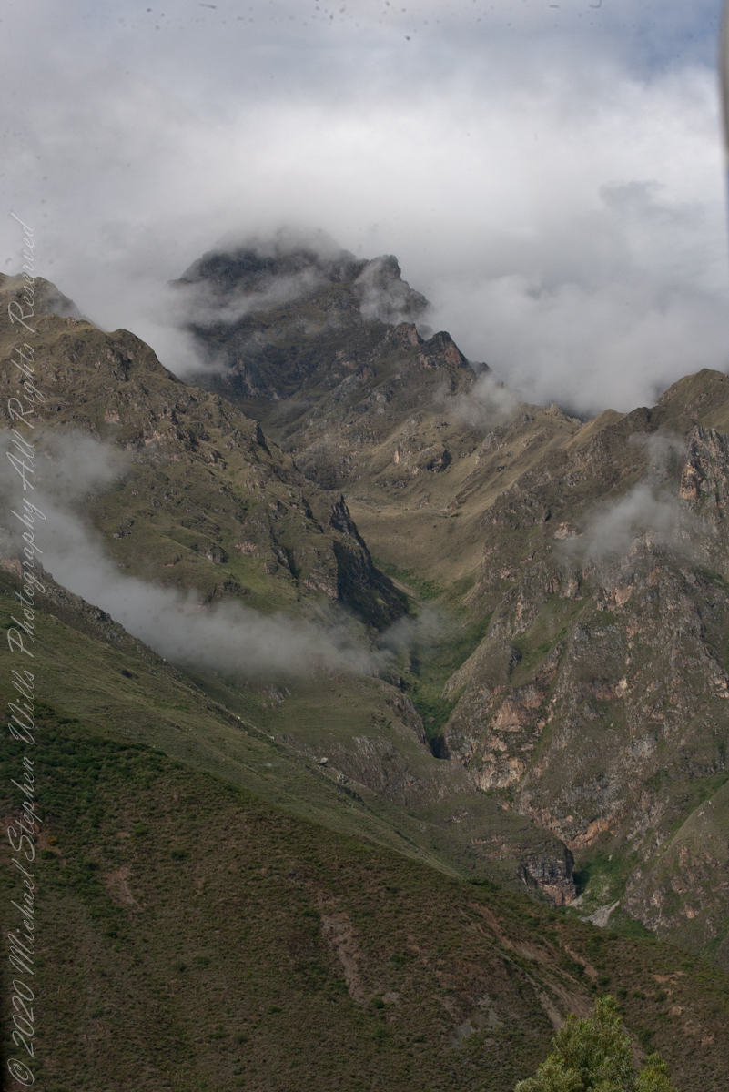
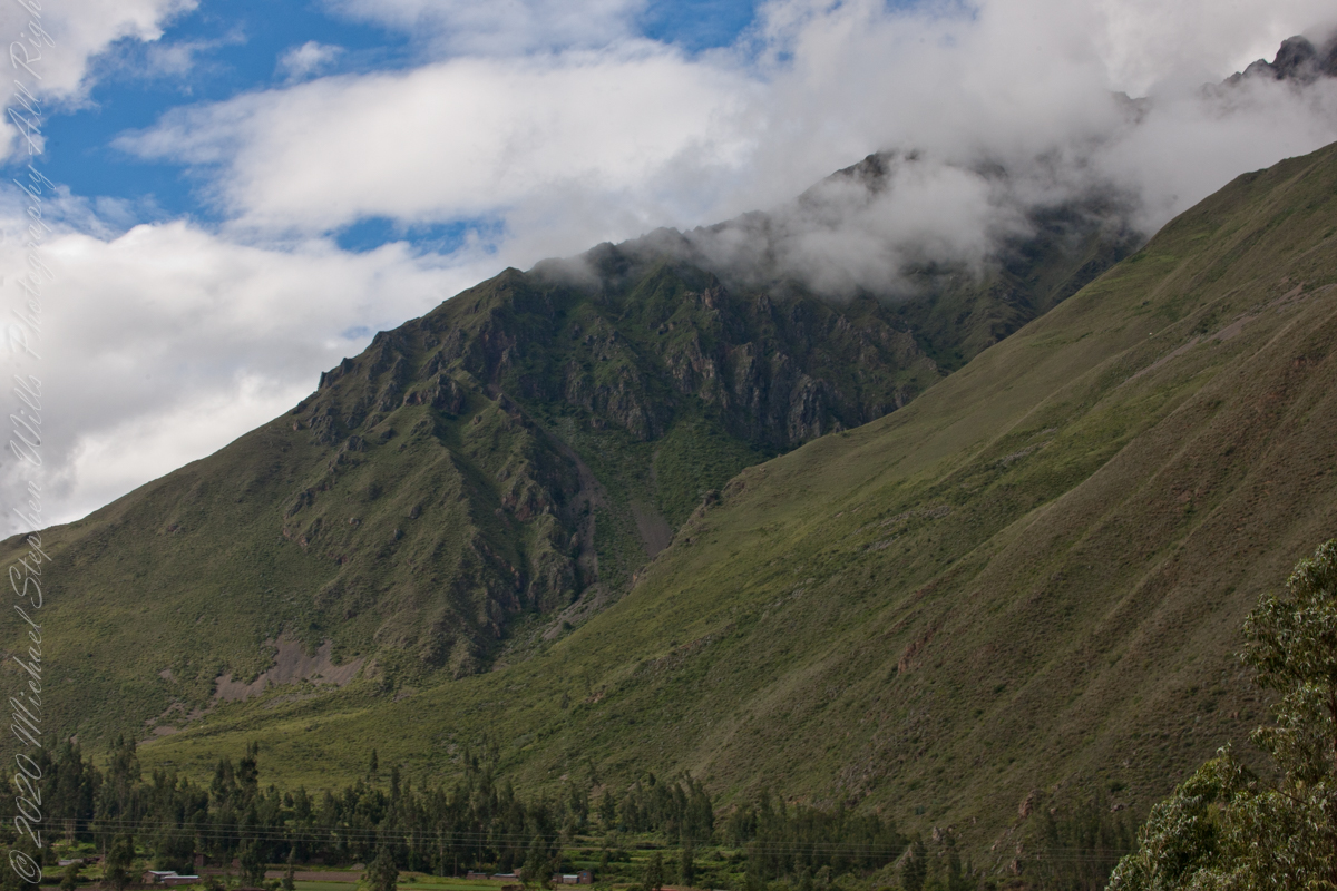
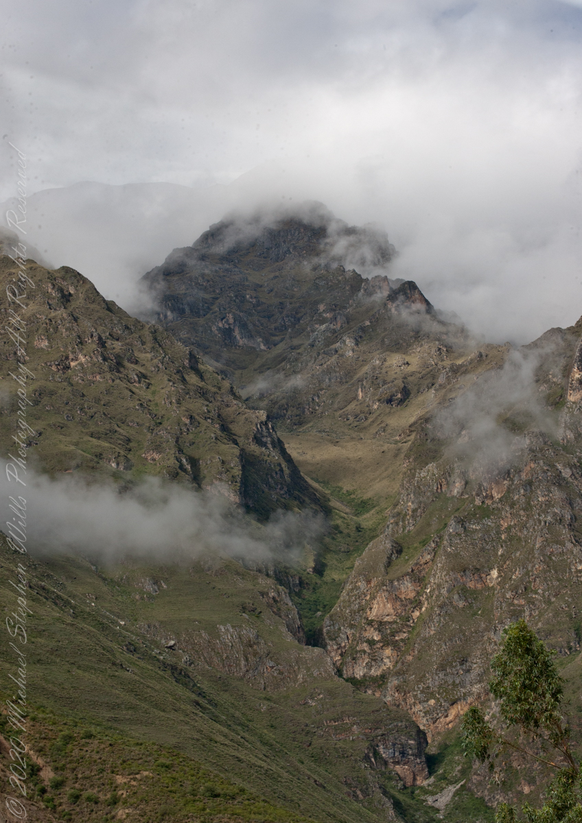
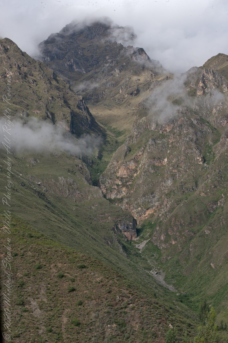
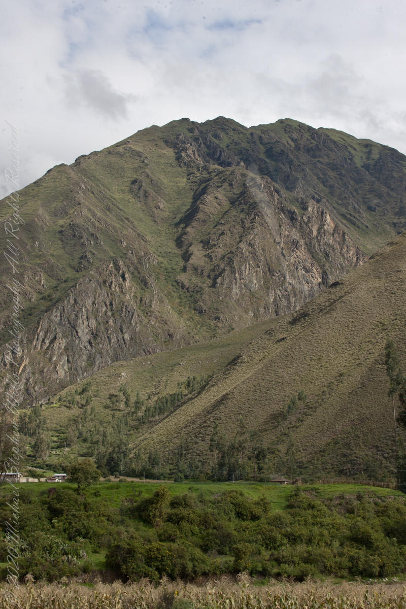
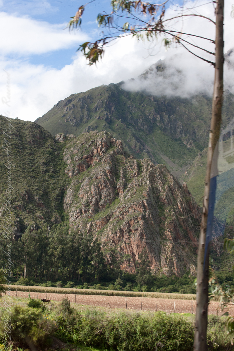
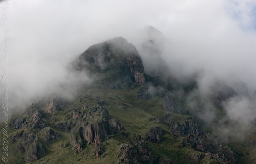
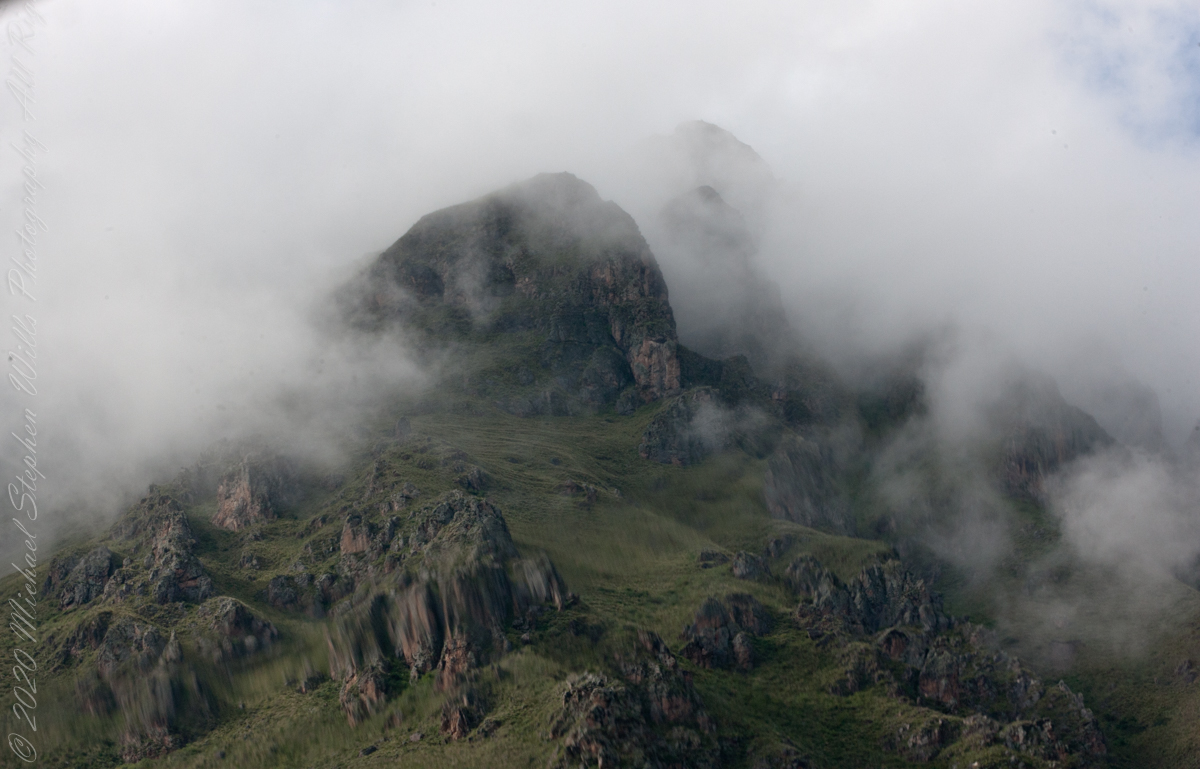
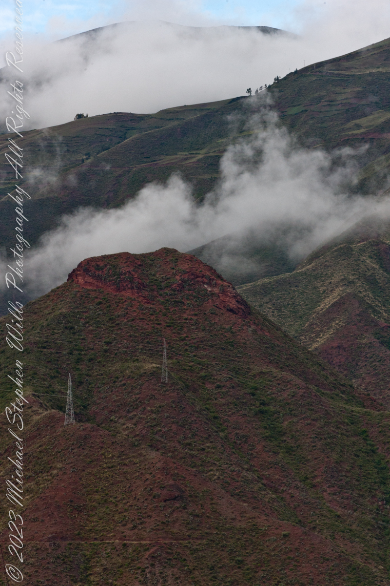
Andes above Chillca Village
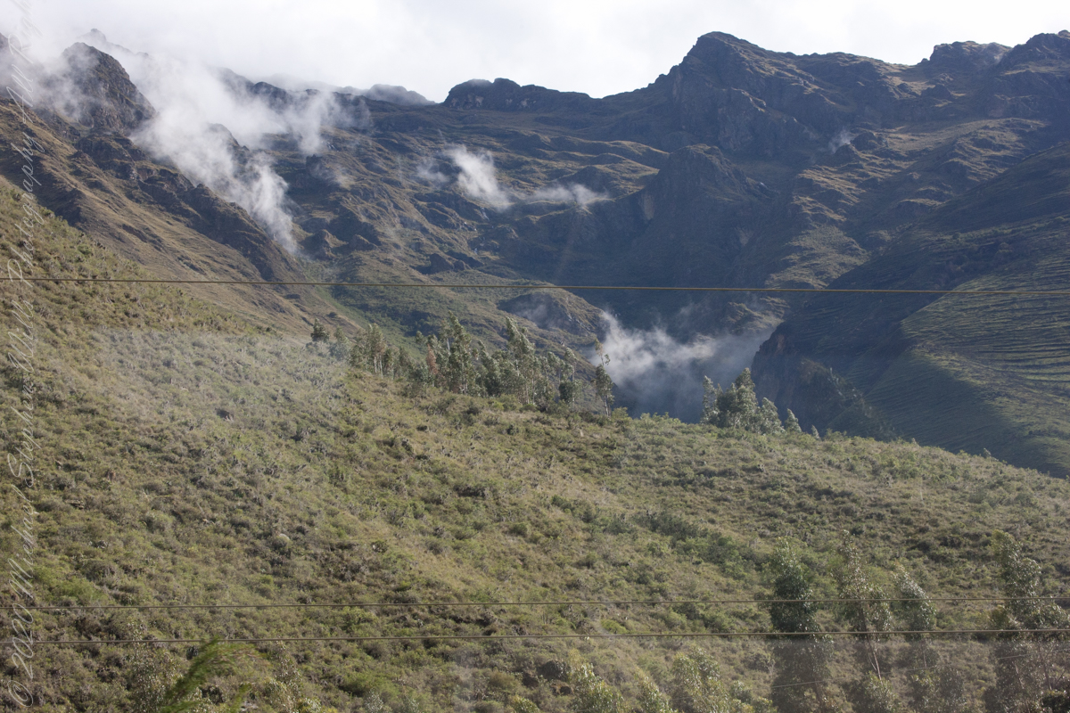
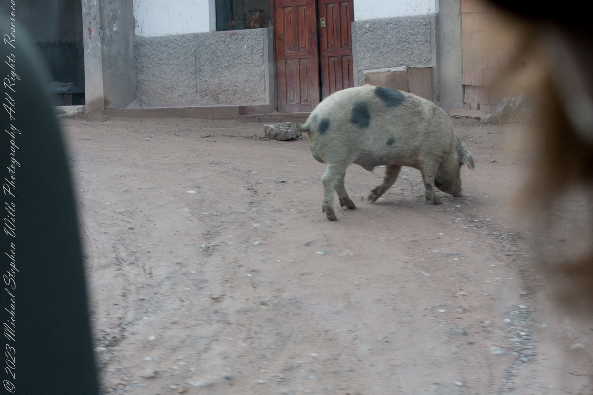
Mountainside homes, Chillca Village

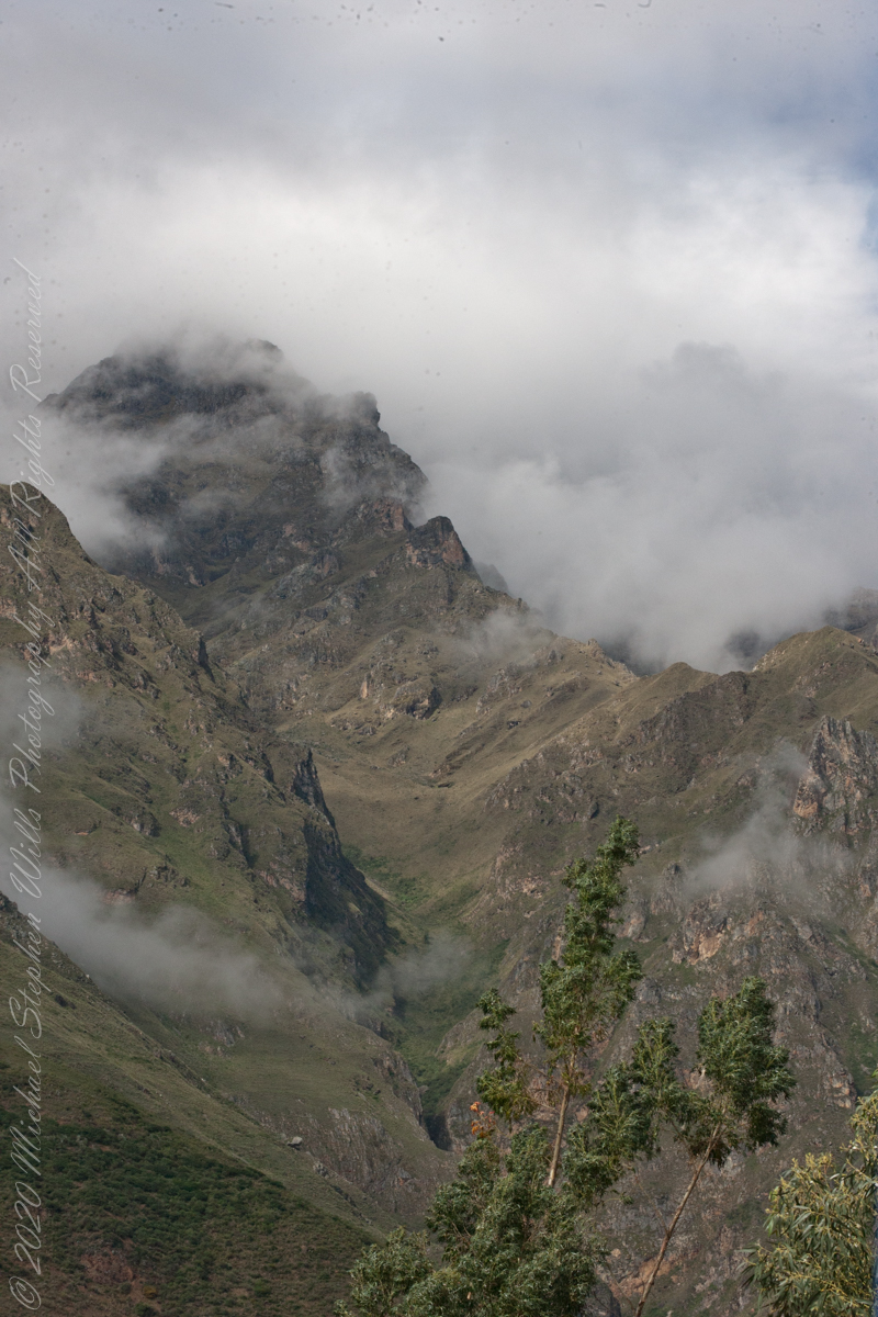
Leaving Chillca Village
We boarded PeruRail at the Ollantaytambo station, destination Aguas Calientes and Machu Picchu
“The line between Cusco and Machu Picchu – Ferrocarril Santa Ana – is a 3 ft (914 mm) narrow gauge line, which boasts a series of five switchbacks called locally ‘El Zig-Zag’, which enable the train to climb up the steep incline out of Cusco, before it can begin its descent to the Sacred Valley of the Incas and then continue down to Machu Picchu. However, this section of the route (between Cusco San Pedro station and Poroy) – which had been suspended – resumed by Inca Rail from May 2019. This is why we took a chartered bus from Cusco to Ollantaytambo.“
“From Poroy, the narrow-gauge line goes northwest to Ollantaytambo, where the branch from Urubamba joins, then on to Machu Picchu station in Aguas Calientes. Tracks formerly continued into the jungle, but they were destroyed by recent flooding.“
We boarded PeruRail at the Ollantaytambo station. These are my first photographs from the “VistaDome” carriage we enjoyed all the way to Aguas Calientes.

During the Inca Empire, Ollantaytambo was the royal estate of Emperor Pachacuti, who conquered the region, and built the town and a ceremonial center
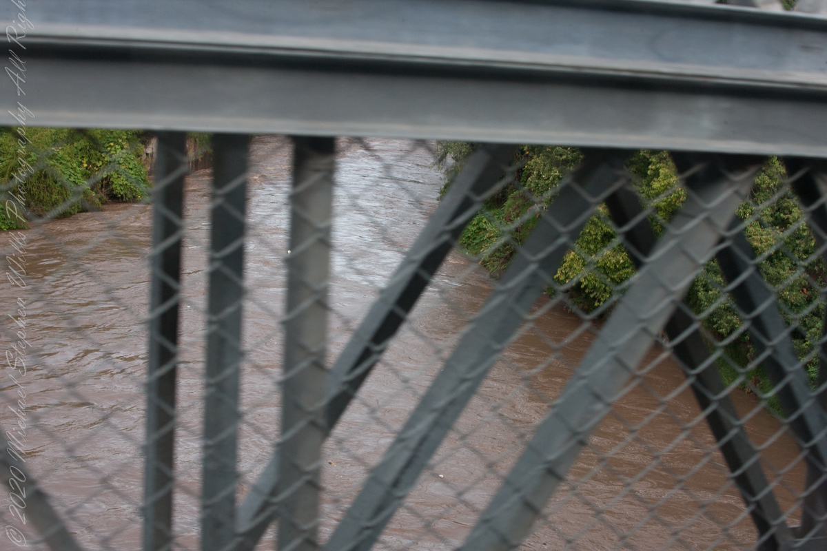
We crossed the Urubamab River for the first time on Urb. Virgin de Lourdes (street). Today, there is a new suspension bridge a hundred feet or so upstream of this crossing that still exists. Urubamba, Cusco Region, Urubamba Province, Urubamba District, Peru
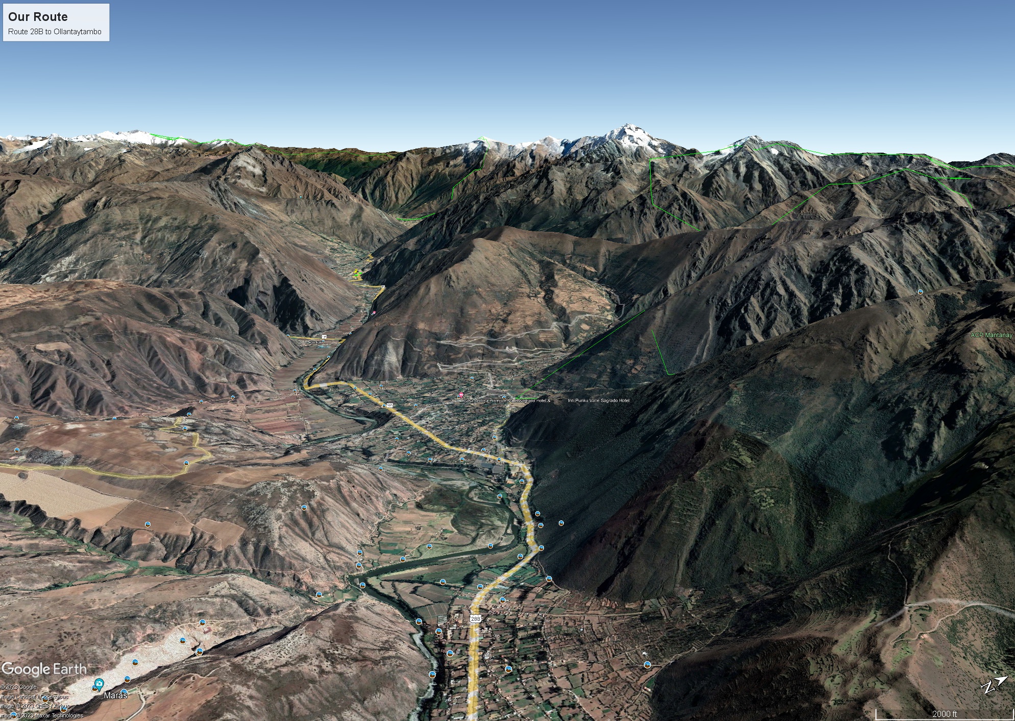
Where we crossed the river at Urubamba the valley was wide compared to our route to Ollantaytambo and the train station there. Route 28B, the yellow ribbon in the following image from GoogleMaps, passed over the shoulder of a ridge and into a narrowing of the Sacred Valley.
Enroute to Machu Picchu and the PeruRail Ollantaytambo station. Peru, Cusco Region, Urubamba Province, Ollantaytambo District
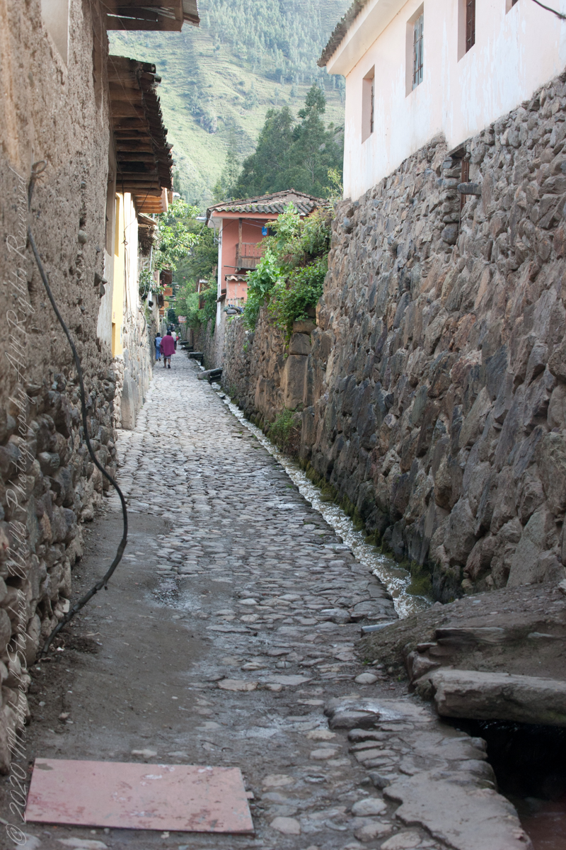
“Ollantaytambo is a town and an Inca archaeological site in southern Peru some 72 km (45 mi) by road northwest of the city of Cusco. It is located at an altitude of 2,792 m (9,160 ft) above sea level in the district of Ollantaytambo, province of Urubamba, Cusco region. During the Inca Empire, Ollantaytambo was the royal estate of Emperor Pachacuti, who conquered the region, and built the town and a ceremonial center. At the time of the Spanish conquest of Peru, it served as a stronghold for Manco Inca Yupanqui, leader of the Inca resistance. Located in the Sacred Valley of the Incas, it is now an important tourist attraction on account of its Inca ruins and its location enroute to one of the most common starting points for the four-day, three-night hike known as the Inca Trail.“
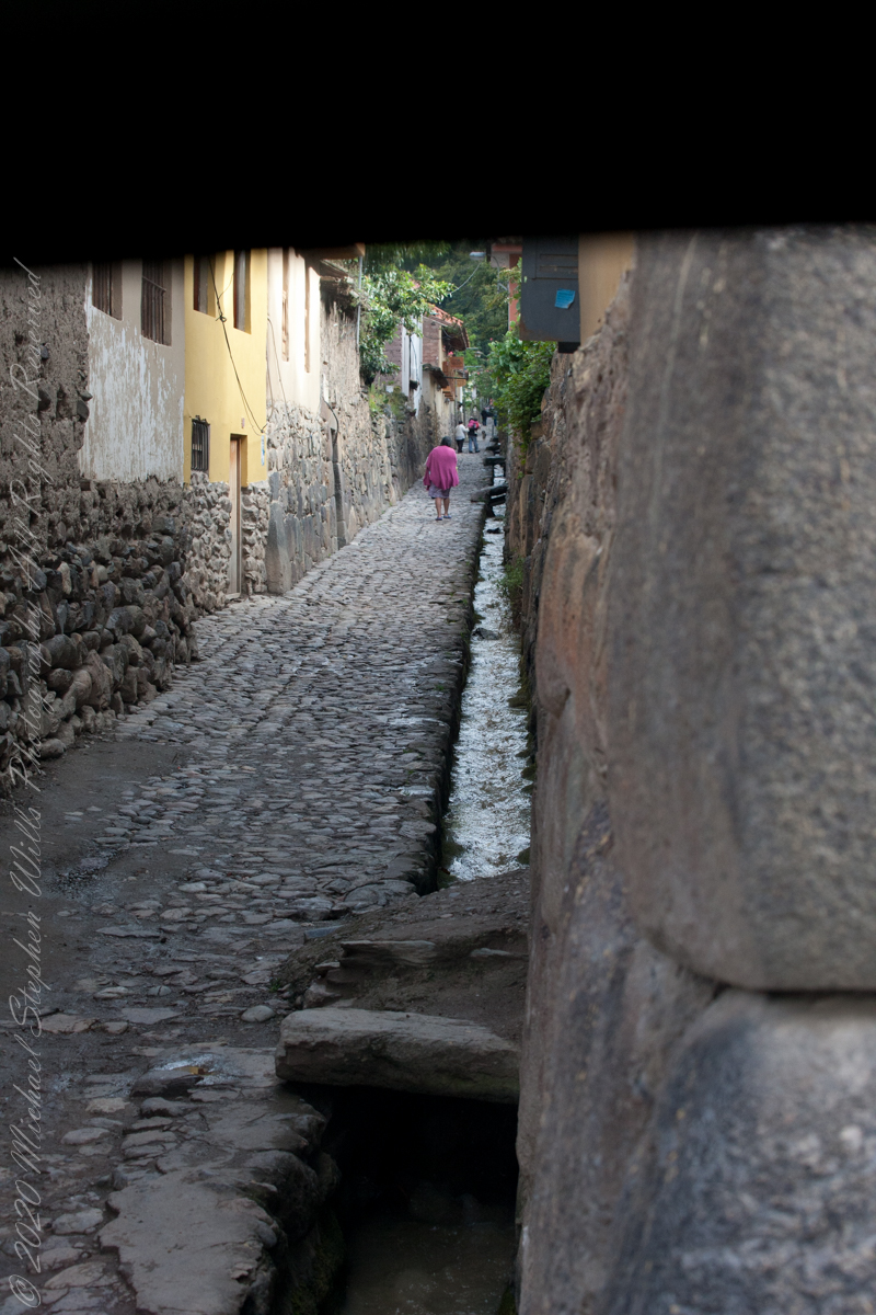
“Ollantaytambo dates from the late 15th century and has some of the oldest continuously occupied dwellings in South America. Its layout and buildings have been altered to different degrees by later constructions; for instance, on the southern edge of the town, an Inca esplanade with the original entrance to the town was rebuilt as a Plaza de Armas surrounded by colonial and republican buildings. The plaza at the center of the town also disappeared, as several buildings were built over it in colonial times.”
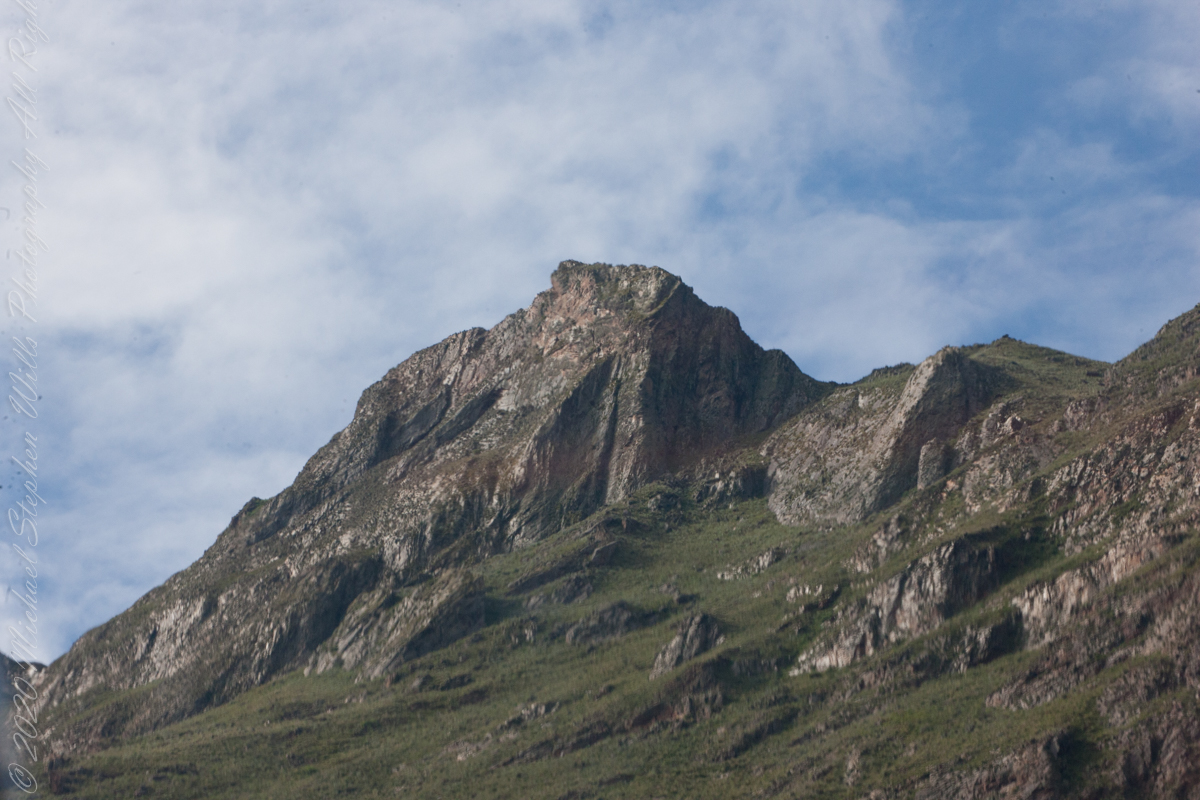
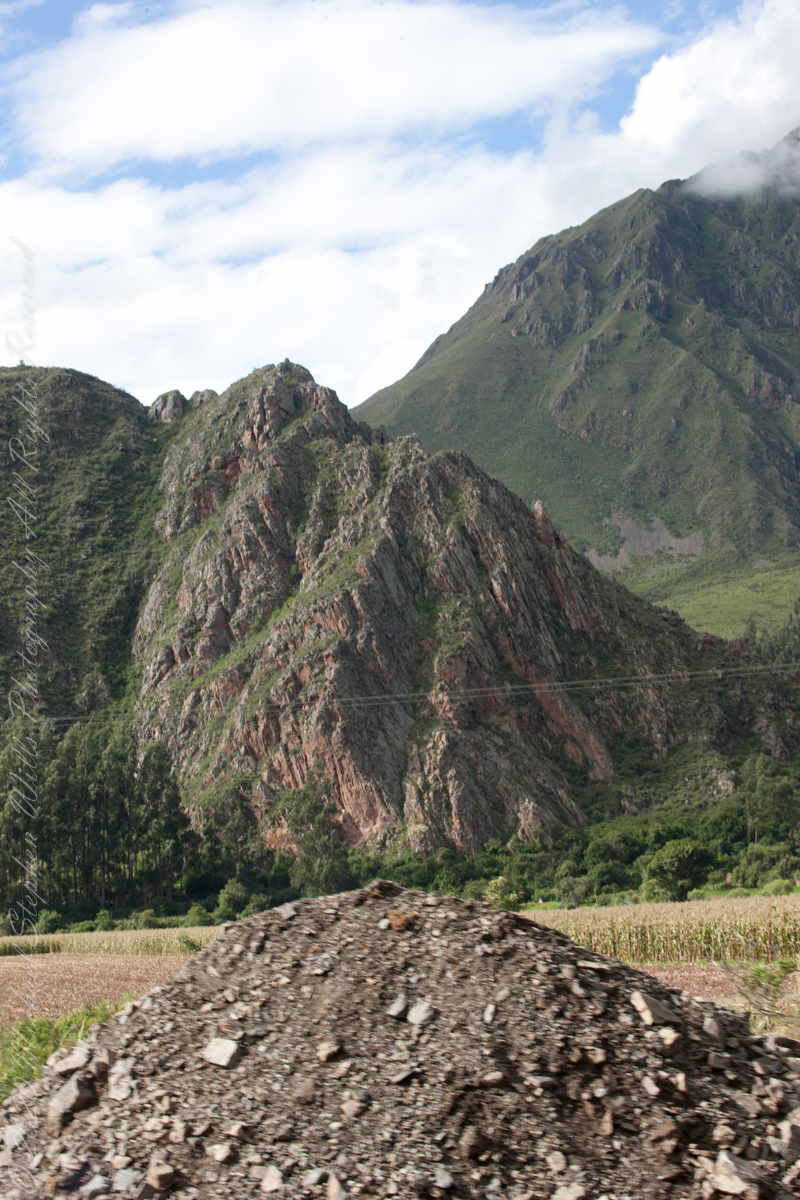
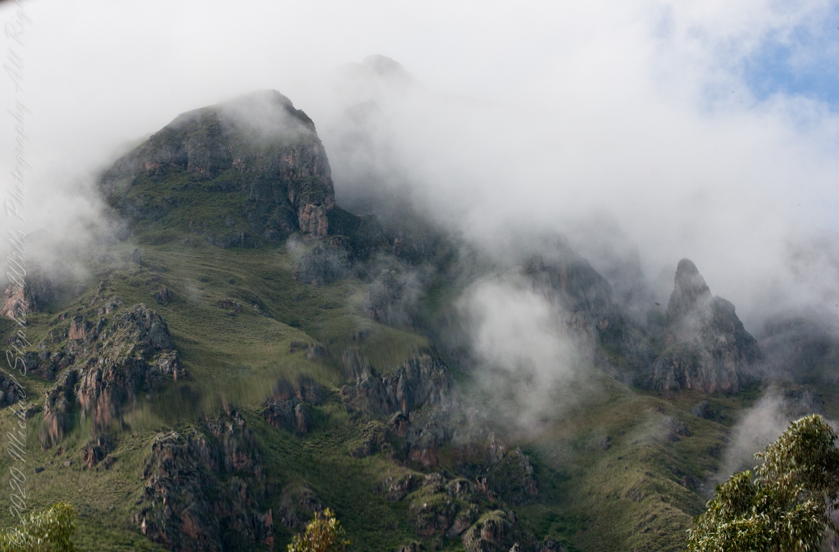
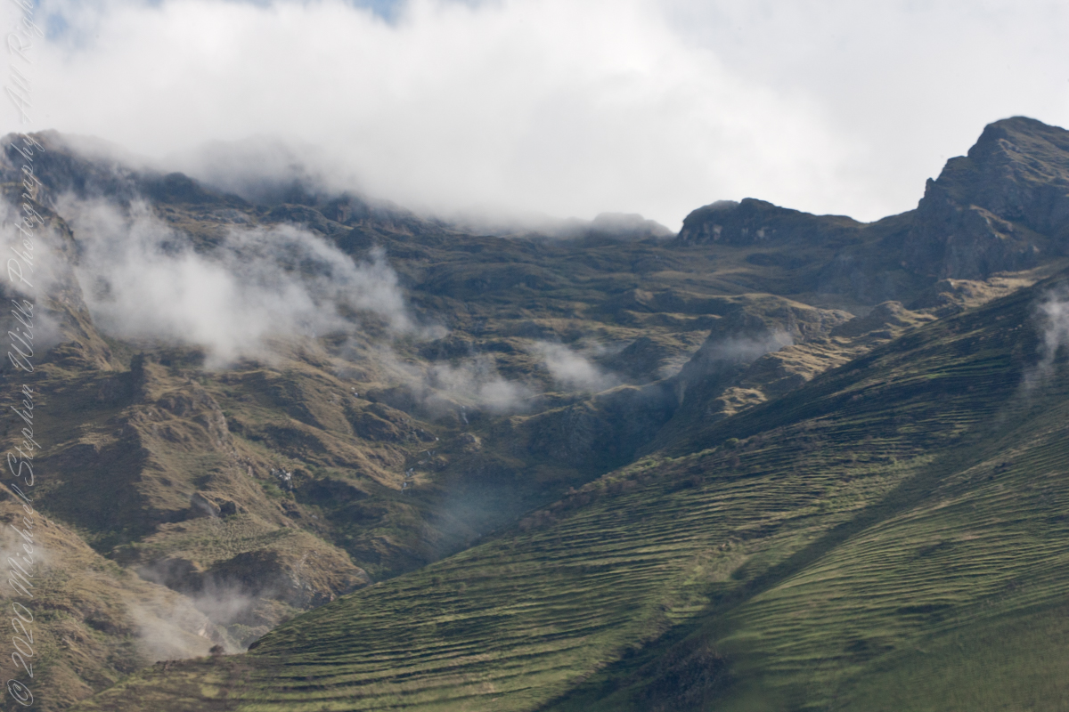
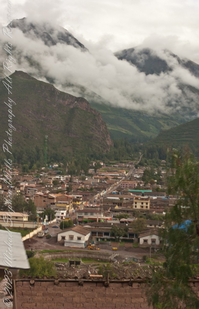
At an elevation around 9,300 feet the town is “low” compared to the surroundings.
We are on our way to Machu Picchu on Route 28B to the Ollantaytambo PeruRail station.


At an elevation around 9,300 feet the town is “low” compared to the surroundings.
We are on our way to Machu Picchu on Route 28B to the Pachar PeruRail station.

At an elevation around 9,300 feet the town is “low” compared to the surroundings.
We are on our way to Machu Picchu on Route 28B to the Pachar PeruRail station.
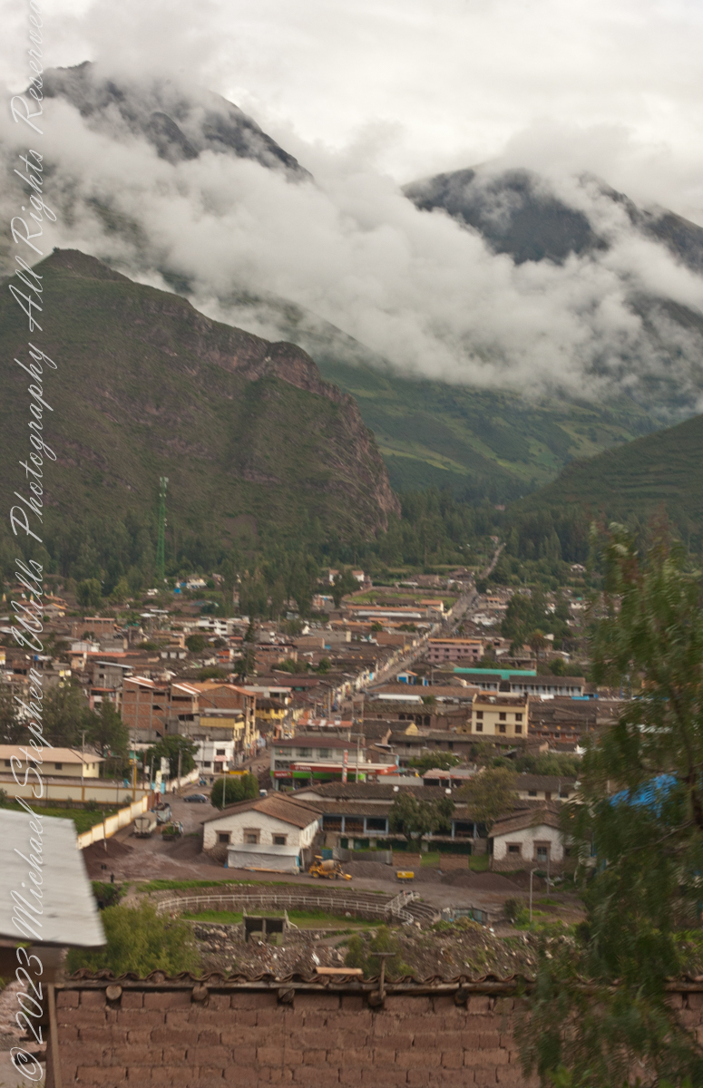
At an elevation around 9,300 feet the town is “low” compared to the surroundings.
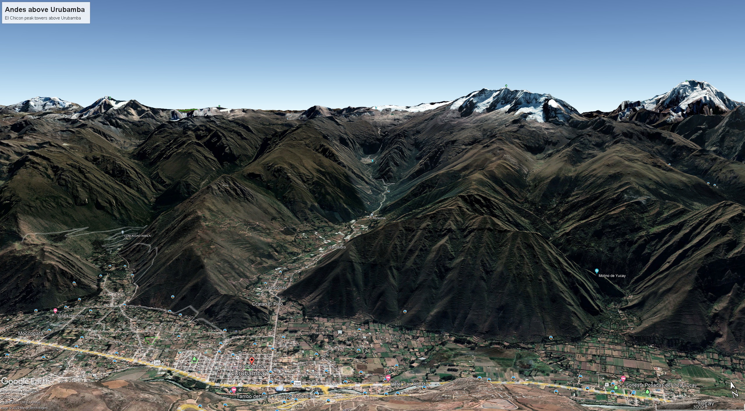
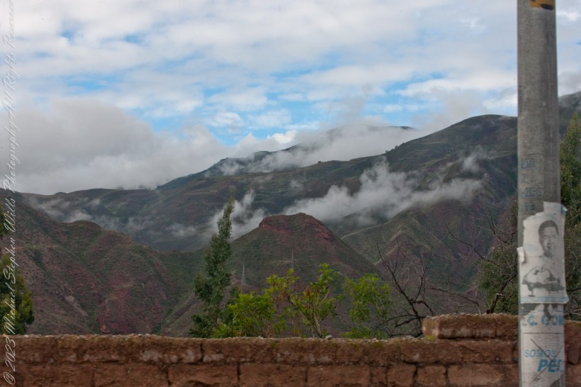
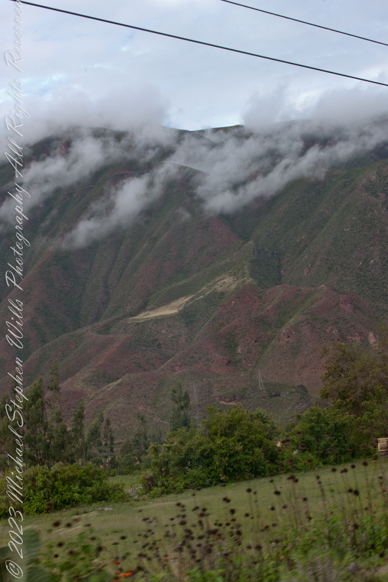
As we descend into Urubamba on Avenue Mariscal Castilla we are presented with this view of the road continuing straight through the city and deep into the valley in the slope of El Chicon peak where it ends beneath Andean glaciers.
Here is a Google Earth view of Avenue Mariscal Castilla course into the Andean valley. Cusco Region, Urubamba Province, Urubamba District