Click Me for my Online Gallery
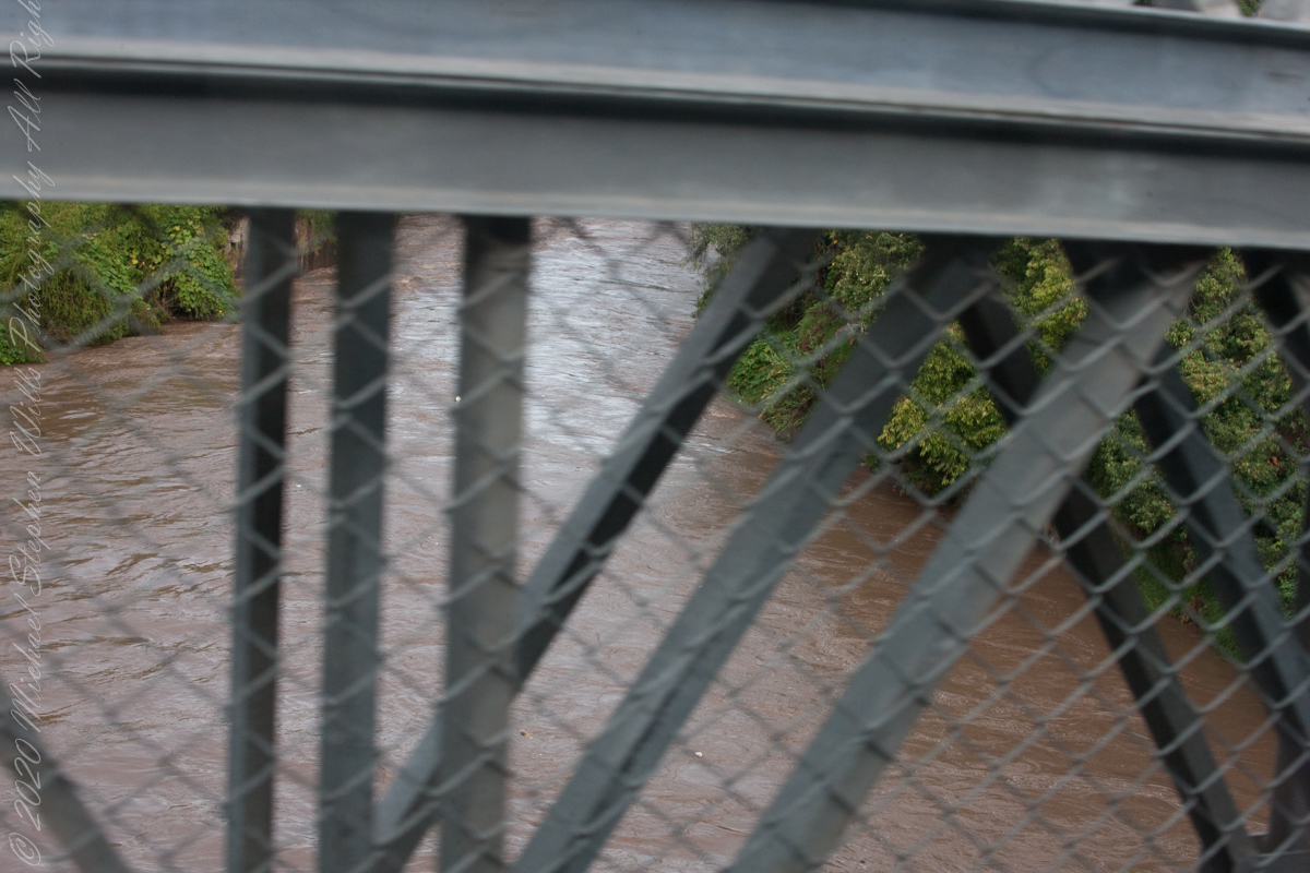
For some Inca Trail routes this bridge is the beginning. Our guide mentioned this crossing was used by Inca kings though this is a modern bridge.
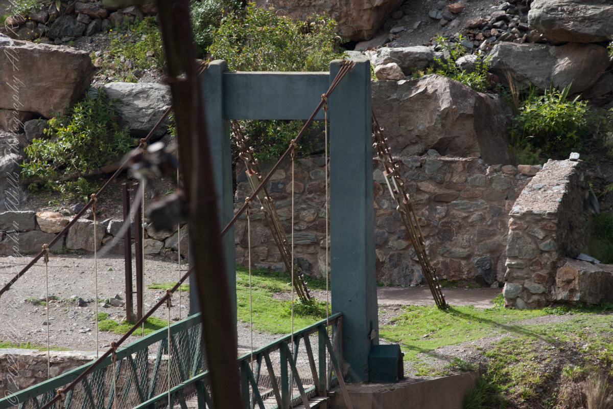

Crossing of Kings
For some Inca Trail routes this bridge is the beginning. Our guide mentioned this crossing was used by Inca kings though this is a modern bridge.
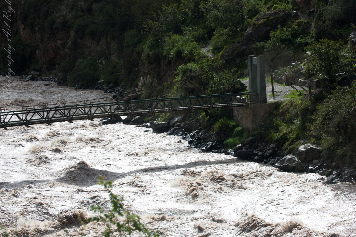
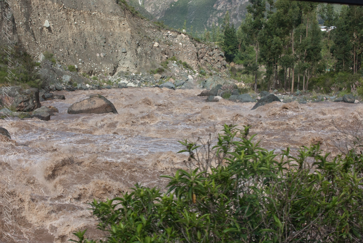
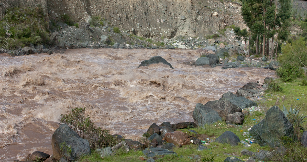
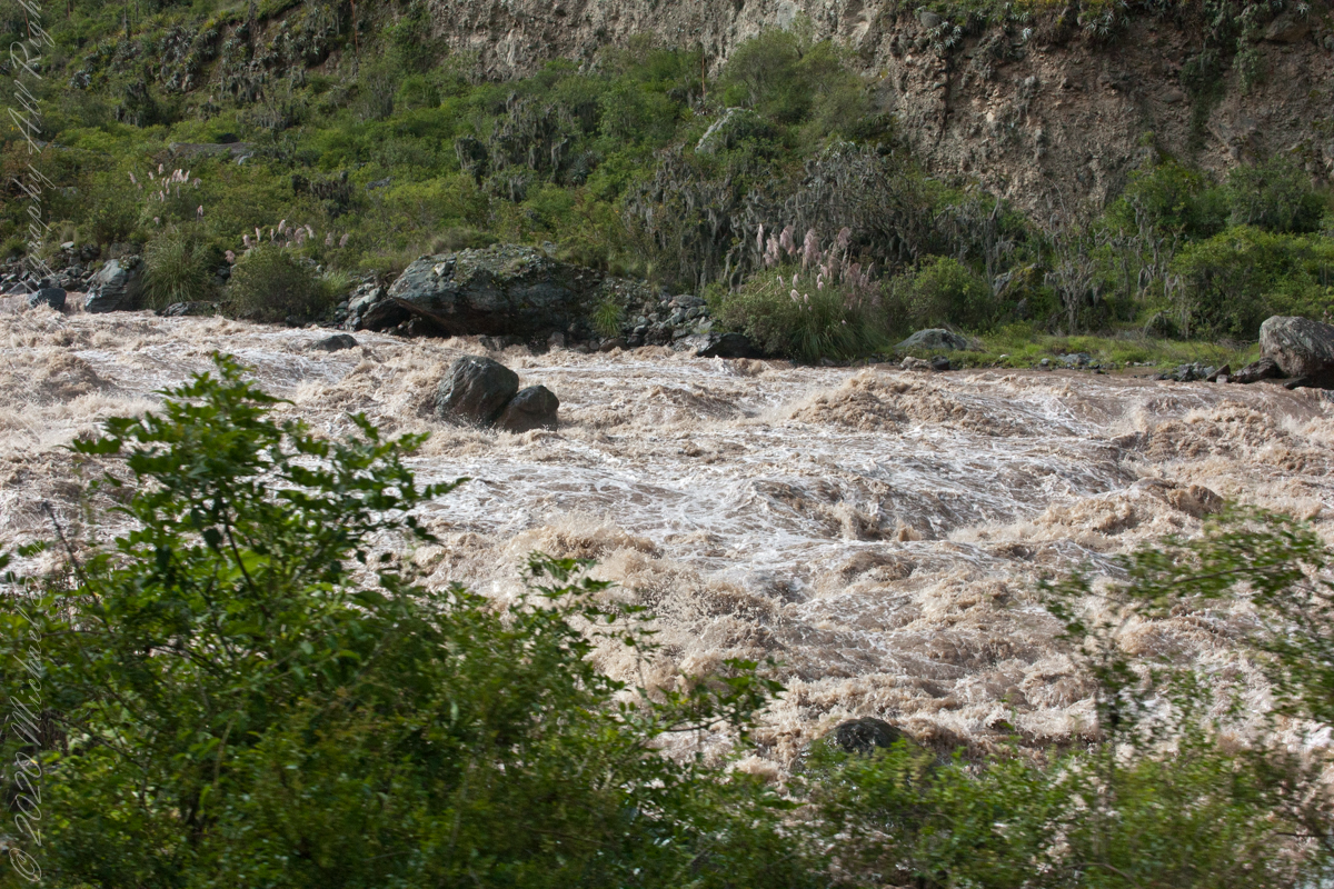
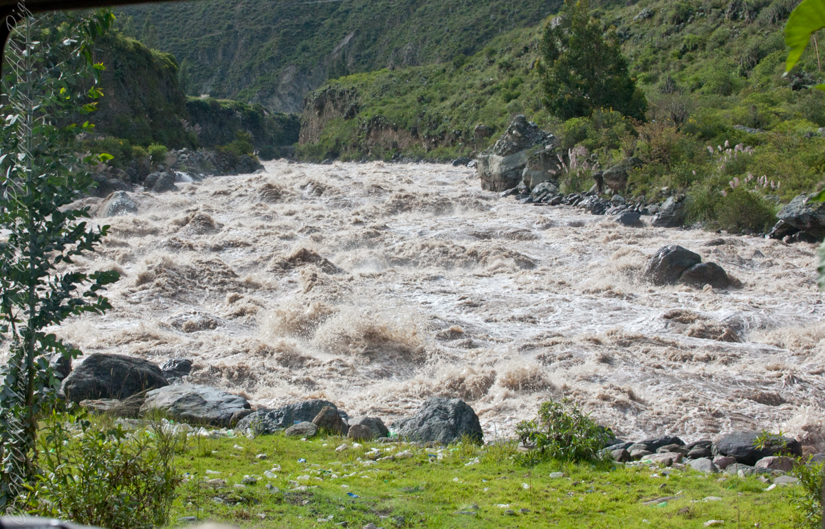
Urubamba River or Vilcamayo River (possibly from Quechua Willkamayu, for “sacred river”)
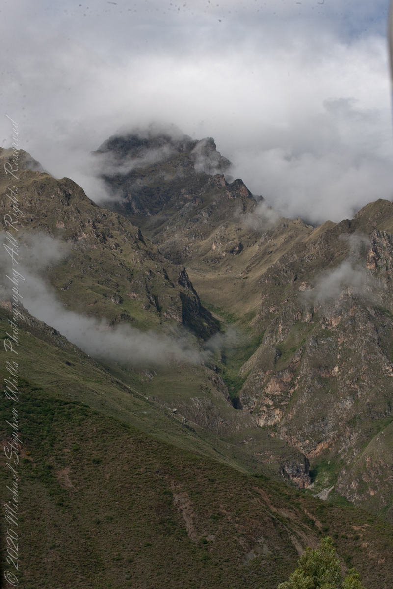
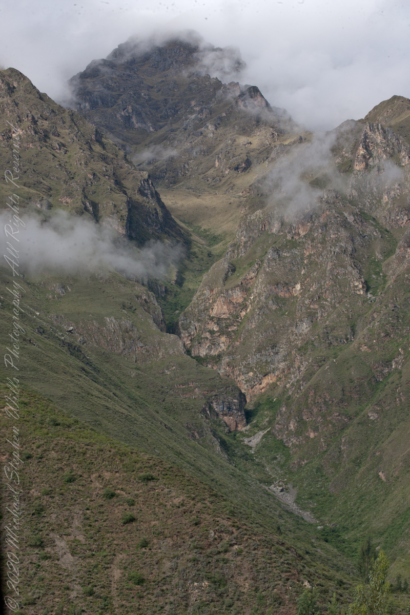
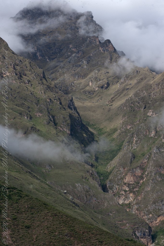
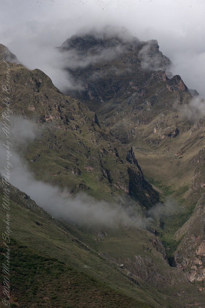
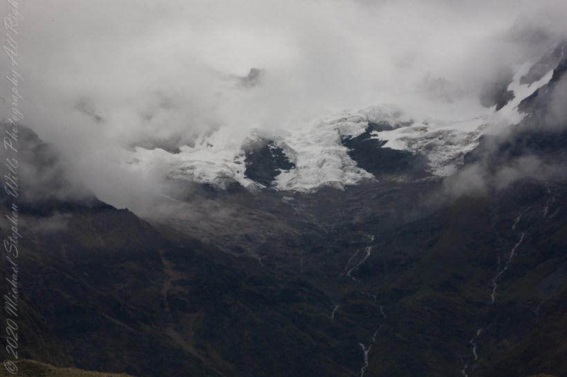
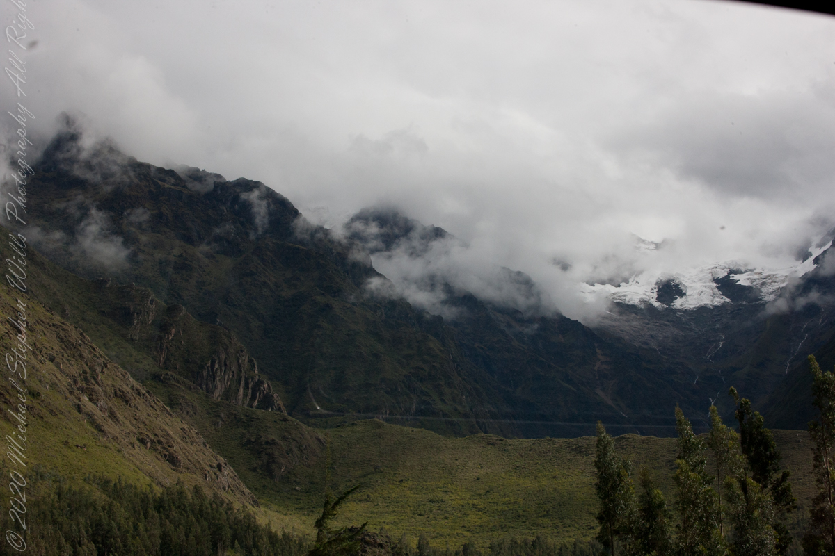
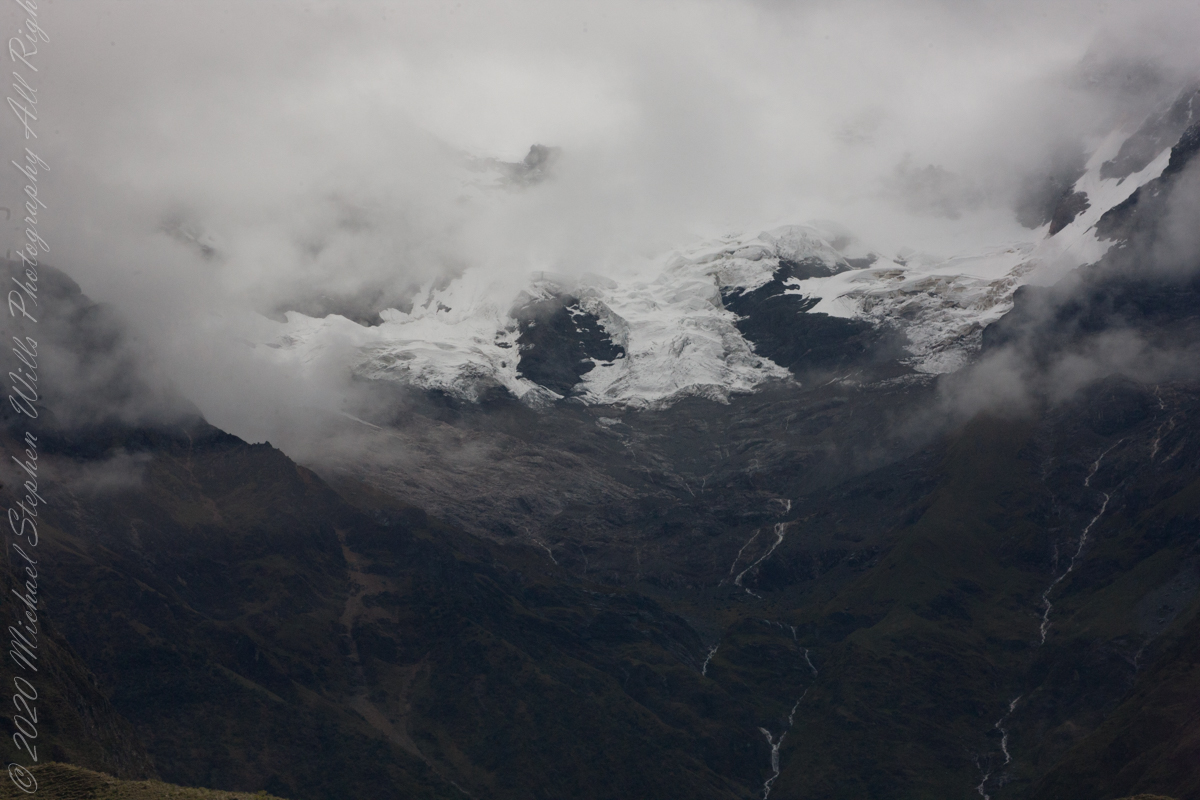
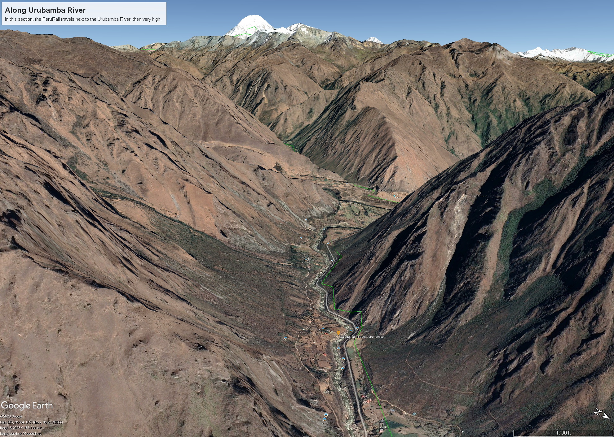
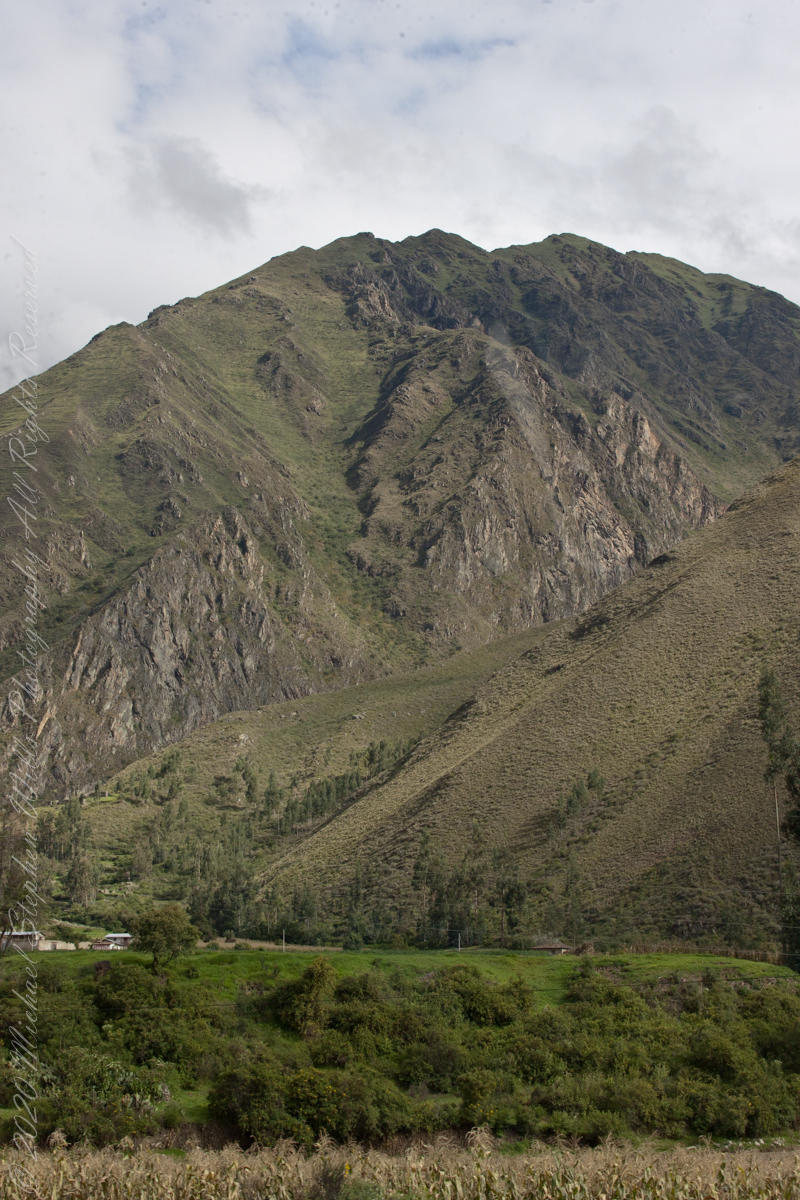
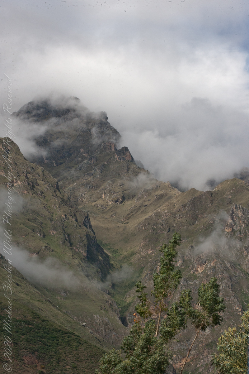
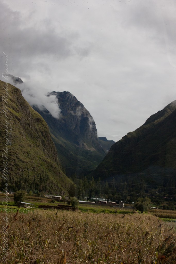
Our guide distracted us from the river by pointing out this glacier nestled among clouds. The following image from GoogleEarth features the peak, named Huayanay, on the upper left. PeruRail track follows the Sacred Valley floor at the foot of the cliff seen lower left and proceeding to the lower right. Another valley starts from Sacred Valley and goes south, carved by the Cusichaca river. Look closely to see the Patallacta Inca ruins above that same river. These were not visible from the train. A few minutes later we viewed another Inca ruin site.
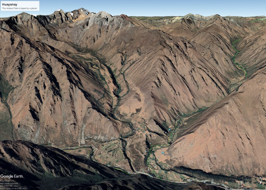
“Huayanay (Quechua for swallow) is a mountain and a massif in the Vilcabamba mountain range in the Andes of Peru, about 5,464 metres (17,927 ft) high.”
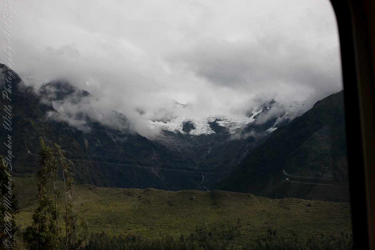
“The massif is located in the Cusco Region, Anta Province, Huarocondo District and in the Urubamba Province, Ollantaytambo District. Huayanay lies east of the Andean peaks Salcantay and Paljay.“
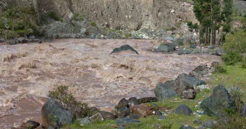
Urubamba River or Vilcamayo River (possibly from Quechua Willkamayu, for “sacred river”)
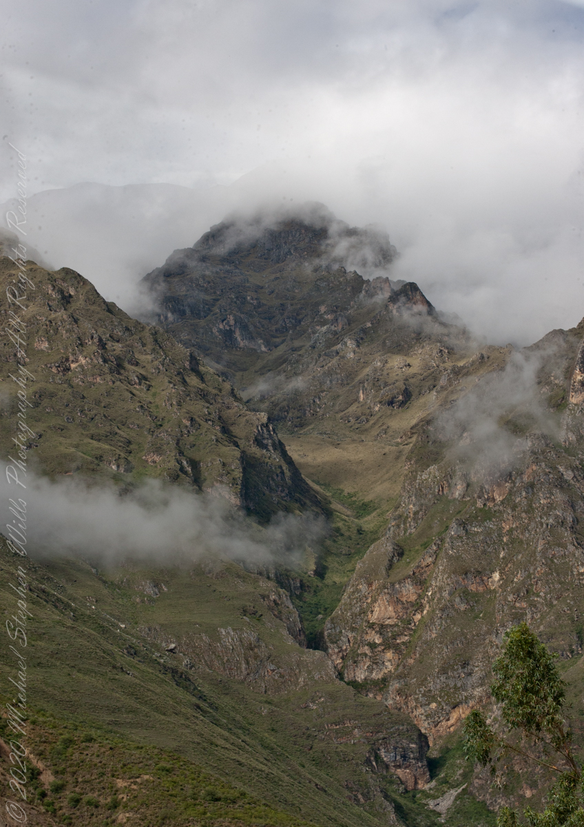
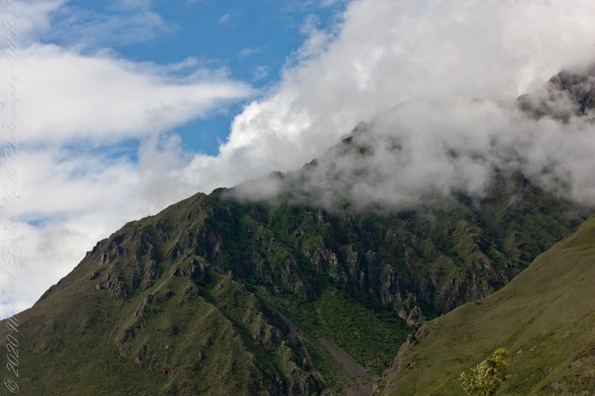
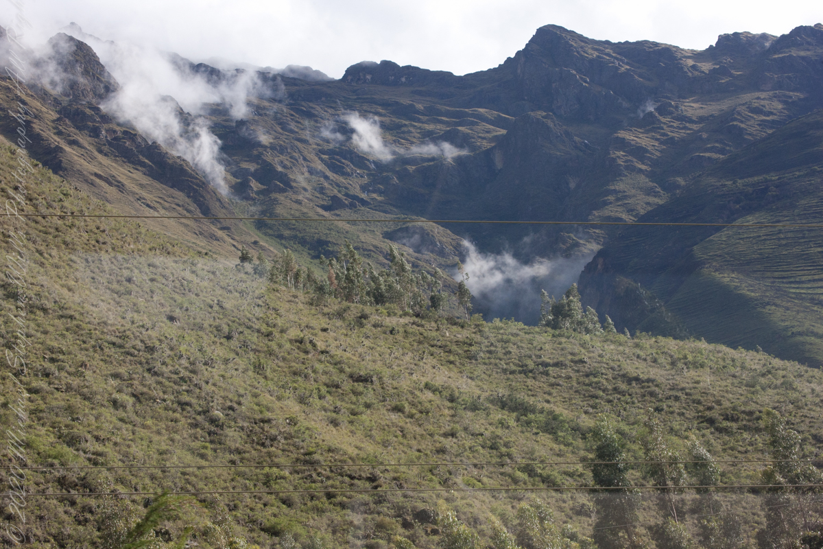
Next, PeruRail traversed a narrow valley carved by the Urubamba River. Here is an overview for our course taken from Google Earth.
“The Urubamba River or Vilcamayo River (possibly from Quechua Willkamayu, for “sacred river”) is a river in Peru. Upstream it is called Vilcanota River (possibly from Aymara Willkanuta, for “house of the sun”). Within the La Convención Province the naming changes to Urubamba. A partially navigable headwater of the Amazon River, it rise in the Andes to the southeast of Cuzco. It originates on the slopes of Khunurana in the Puno Region, Melgar Province, near the La Raya pass. It flows north-north-west for 724 kilometers before coalescing with the Tambo River to form the Ucayali River.”
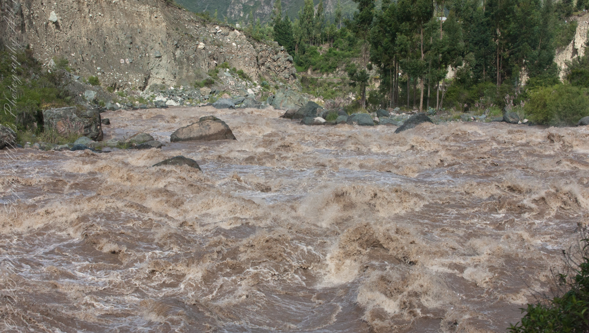
“The Urubamba is divided into Upper Urubamba and Lower Urubamba, the dividing feature being the Pongo de Mainique, an infamous whitewater canyon.“
“The Upper Urubamba (Alto Urubamba) valley features a high population and extensive irrigation works. A number of ruins of the Inca Empire lie in the Sacred Valley, including the Incan city of Machu Picchu, Patallaqta, Pikillaqta and Raqch’i. The Salcca-Pucara hydroelectric project is associated with the river as well.“
“The Lower Urubamba (Bajo Urubamba) is relatively undeveloped and features a significant indigenous population consisting of the Campa tribes, principally the Machiguenga (Matsigenka) and Asháninka. The economy is based on forestry and the nearby Camisea Gas Project. The main settlement in the region is the town of Sepahua.“
“The lower Urubamba River was mapped for the first time in 1934 by Edward Kellog Strong III. He and two friends from Palo Alto, California, Art Post and Gain Allan John, navigated the river with its ferocious rapids by canoe and balsa rafts provided by the indigenous people. The mapping was done at the request of the Peruvian military when they heard of the expedition planned by the three 18-year-olds.”
“John Walter Gregory, a British geologist, drowned in the river on June 2, 1932 while on a geological expedition to the Andes“
“It was turned over to the military when the boys arrived in Iquitos. It was the only map of the river until it was mapped by satellite many years later. The names and places on the latest map came from the original map drawn by Edward Strong.“
We boarded PeruRail at the Ollantaytambo station, destination Aguas Calientes and Machu Picchu
We boarded PeruRail at the Ollantaytambo station, destination Aguas Calientes and Machu Picchu
We boarded PeruRail at the Ollantaytambo station, destination Aguas Calientes and Machu Picchu

We boarded PeruRail at the Ollantaytambo station, destination Aguas Calientes and Machu Picchu
Chillca Village from PeruRail Train
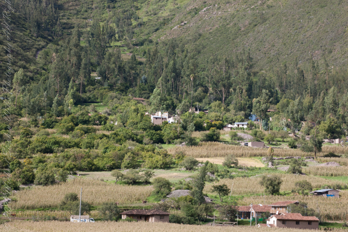
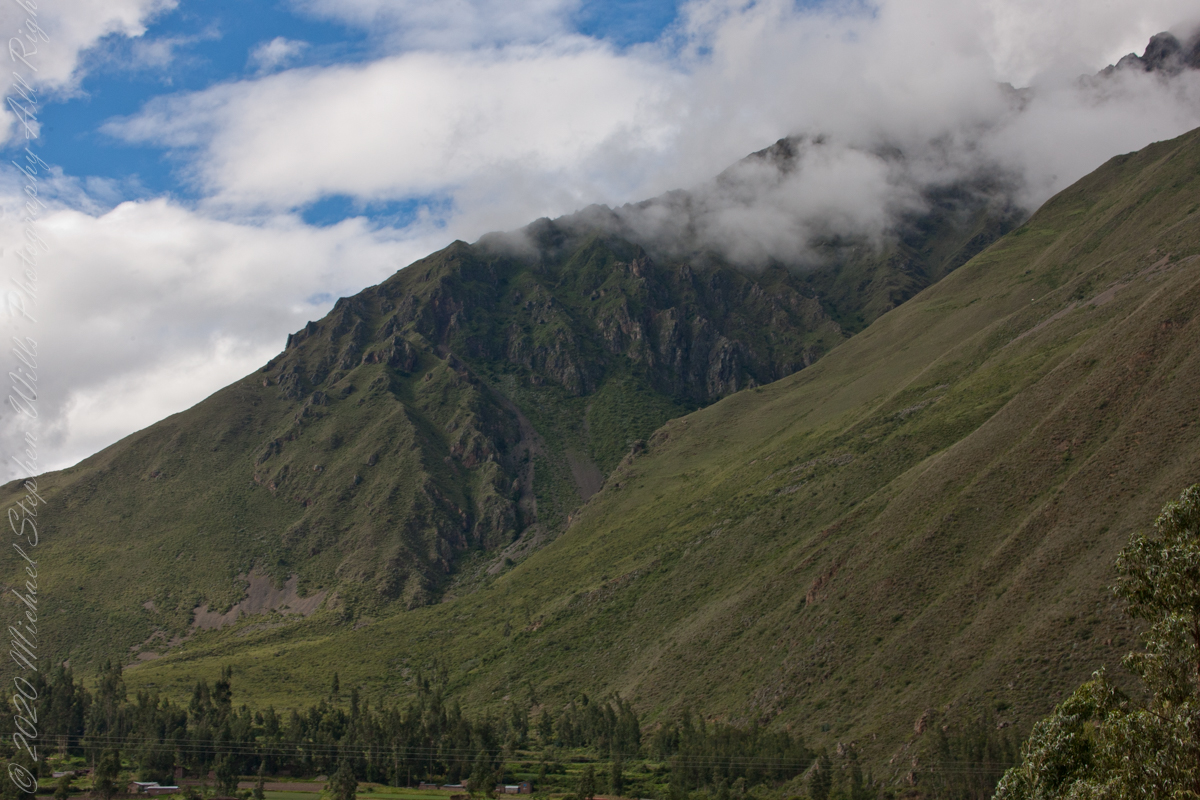
Andes above Chillca Village
Mountainside homes, Chillca Village

Leaving Chillca Village
We boarded PeruRail at the Ollantaytambo station, destination Aguas Calientes and Machu Picchu
“The line between Cusco and Machu Picchu – Ferrocarril Santa Ana – is a 3 ft (914 mm) narrow gauge line, which boasts a series of five switchbacks called locally ‘El Zig-Zag’, which enable the train to climb up the steep incline out of Cusco, before it can begin its descent to the Sacred Valley of the Incas and then continue down to Machu Picchu. However, this section of the route (between Cusco San Pedro station and Poroy) – which had been suspended – resumed by Inca Rail from May 2019. This is why we took a chartered bus from Cusco to Ollantaytambo.“
“From Poroy, the narrow-gauge line goes northwest to Ollantaytambo, where the branch from Urubamba joins, then on to Machu Picchu station in Aguas Calientes. Tracks formerly continued into the jungle, but they were destroyed by recent flooding.“
We boarded PeruRail at the Ollantaytambo station. These are my first photographs from the “VistaDome” carriage we enjoyed all the way to Aguas Calientes.

During the Inca Empire, Ollantaytambo was the royal estate of Emperor Pachacuti, who conquered the region, and built the town and a ceremonial center
We crossed the Urubamab River for the first time on Urb. Virgin de Lourdes (street). Today, there is a new suspension bridge a hundred feet or so upstream of this crossing that still exists. Urubamba, Cusco Region, Urubamba Province, Urubamba District, Peru
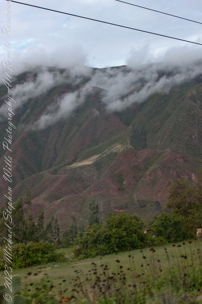
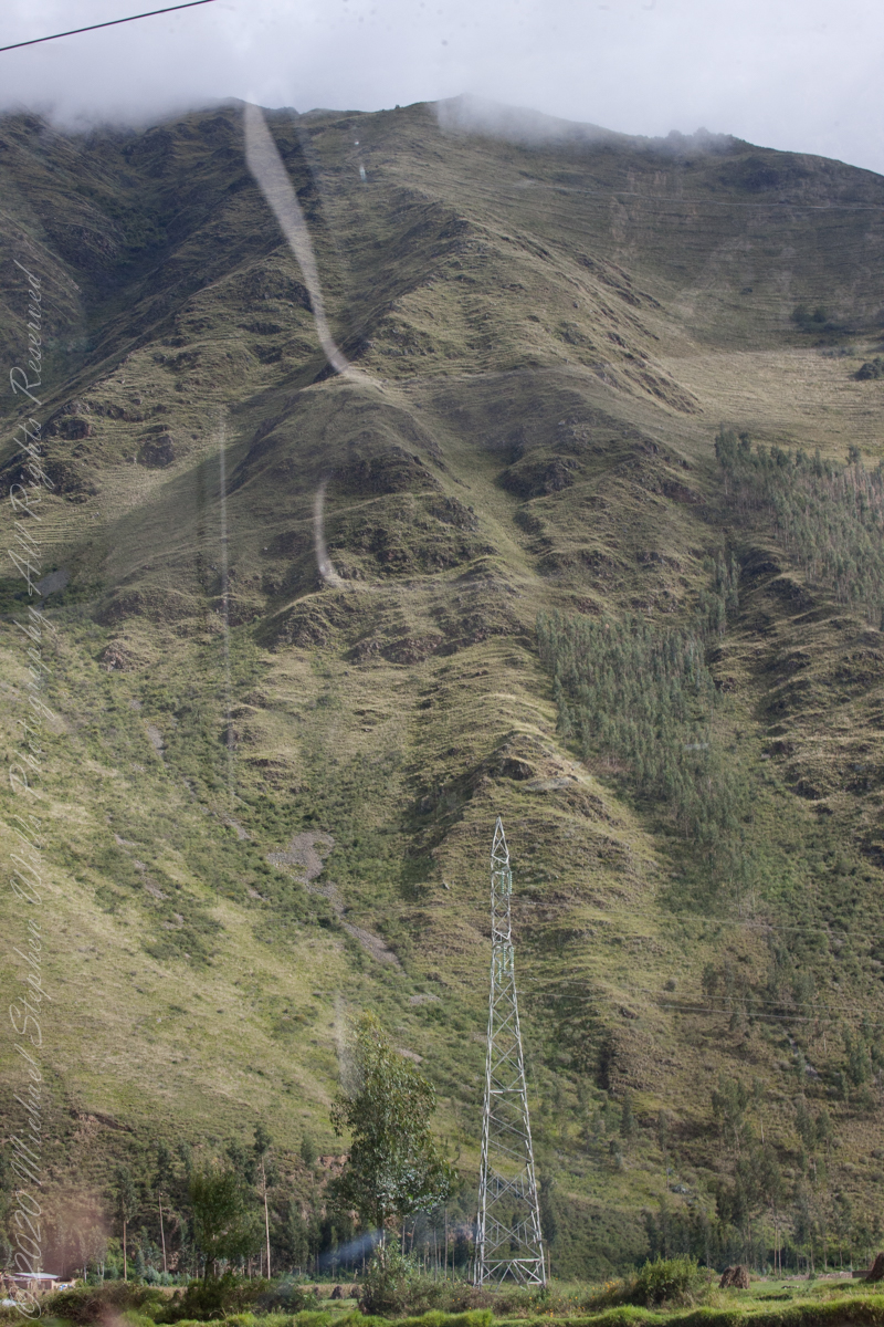
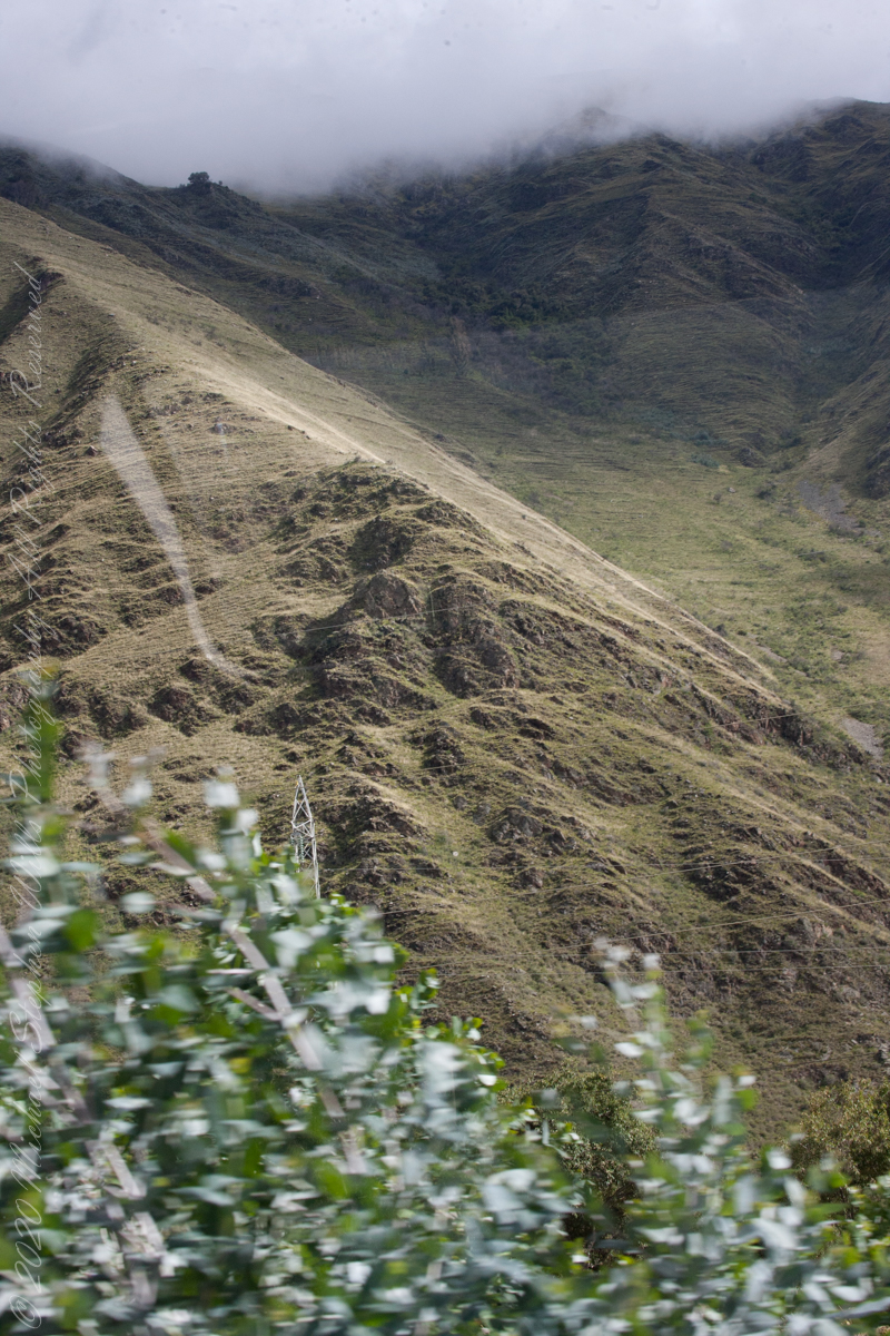
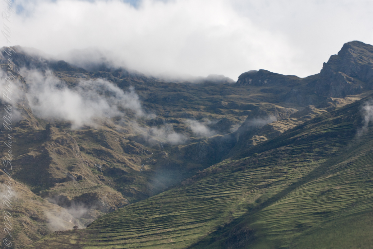
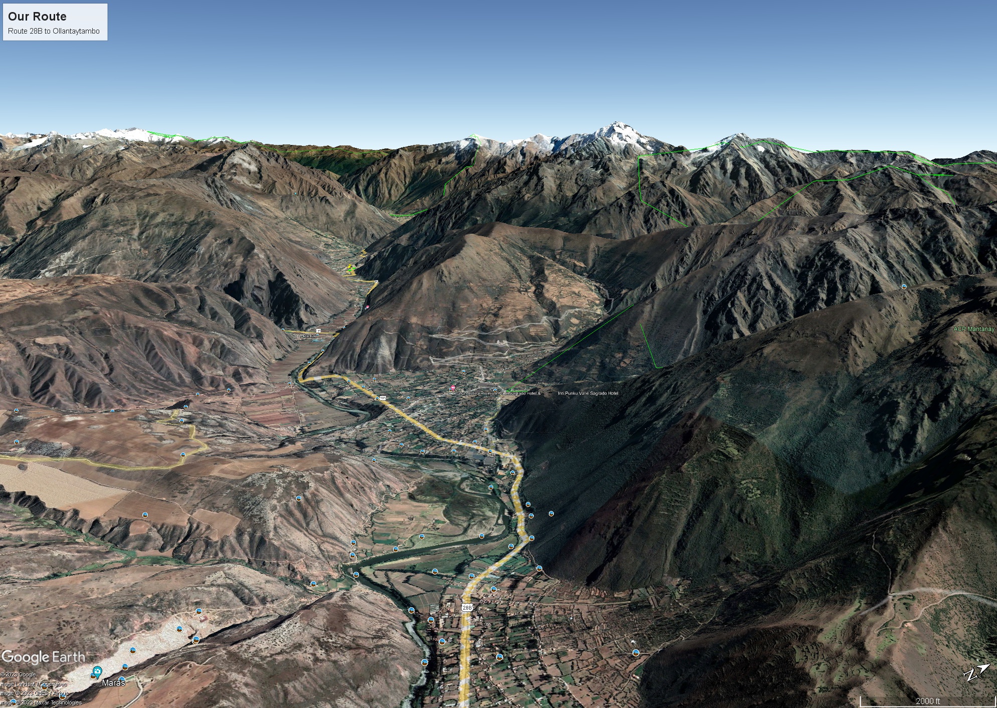
Where we crossed the river at Urubamba the valley was wide compared to our route to Ollantaytambo and the train station there. Route 28B, the yellow ribbon in the following image from GoogleMaps, passed over the shoulder of a ridge and into a narrowing of the Sacred Valley.
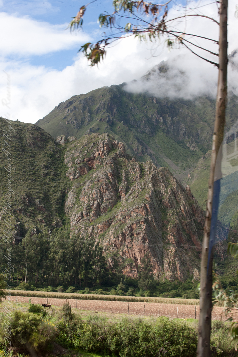
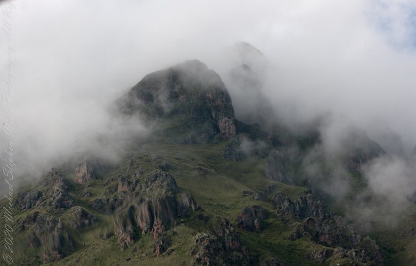
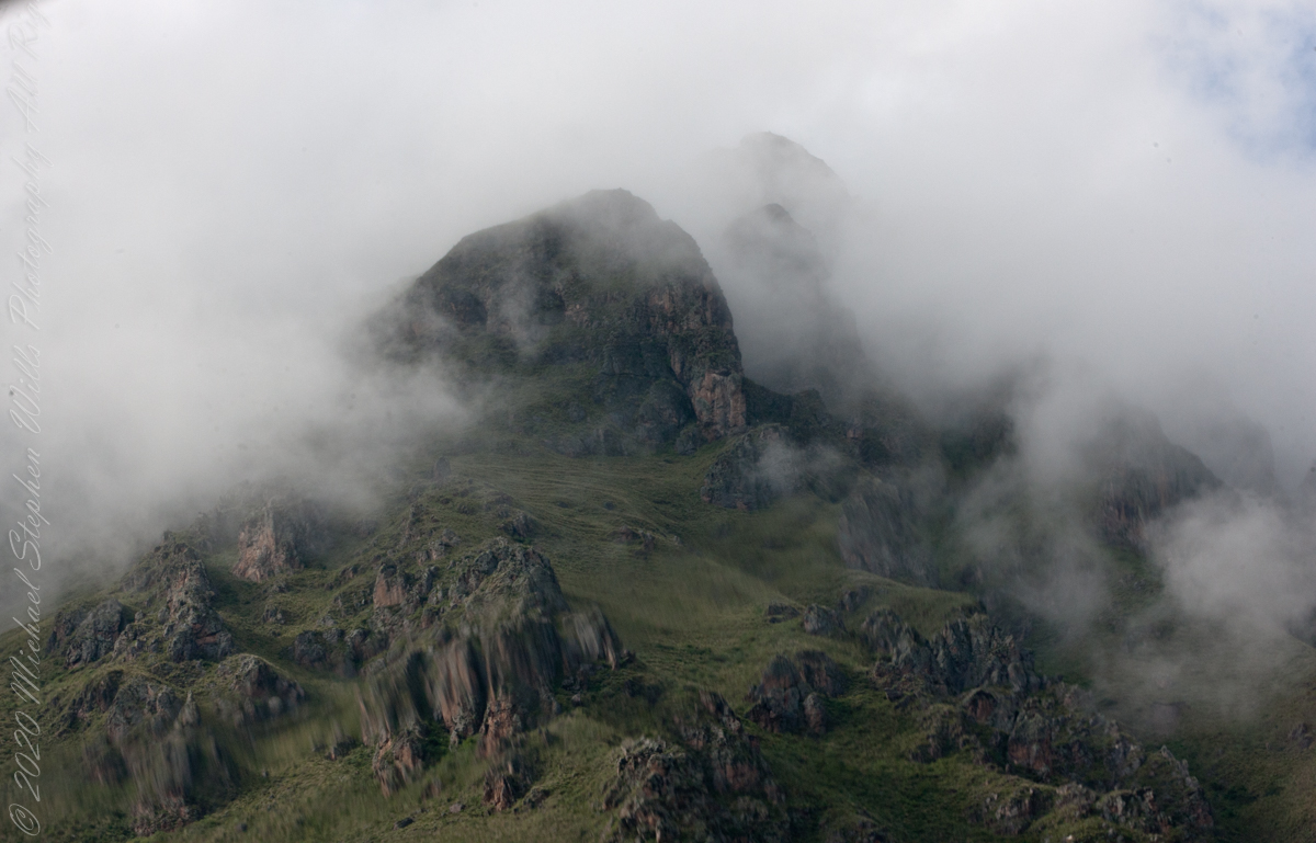
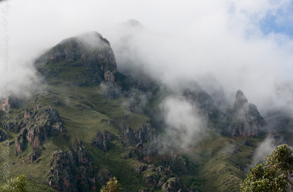
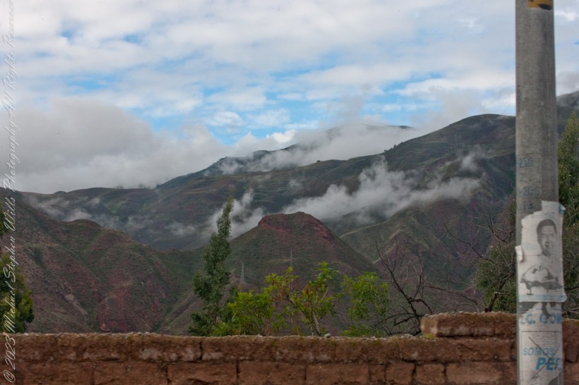
Enroute to Machu Picchu and the PeruRail Ollantaytambo station. Peru, Cusco Region, Urubamba Province, Ollantaytambo District
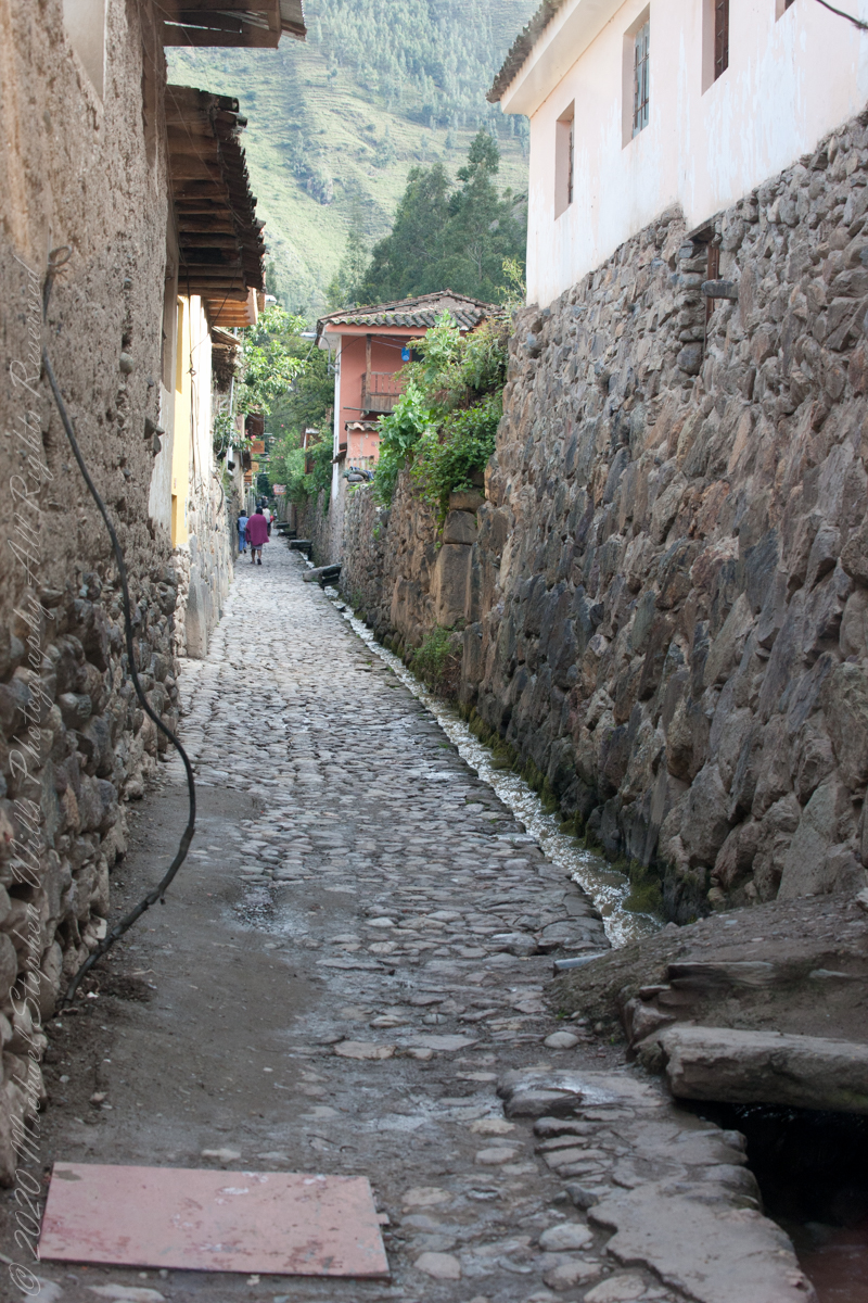
“Ollantaytambo is a town and an Inca archaeological site in southern Peru some 72 km (45 mi) by road northwest of the city of Cusco. It is located at an altitude of 2,792 m (9,160 ft) above sea level in the district of Ollantaytambo, province of Urubamba, Cusco region. During the Inca Empire, Ollantaytambo was the royal estate of Emperor Pachacuti, who conquered the region, and built the town and a ceremonial center. At the time of the Spanish conquest of Peru, it served as a stronghold for Manco Inca Yupanqui, leader of the Inca resistance. Located in the Sacred Valley of the Incas, it is now an important tourist attraction on account of its Inca ruins and its location enroute to one of the most common starting points for the four-day, three-night hike known as the Inca Trail.“
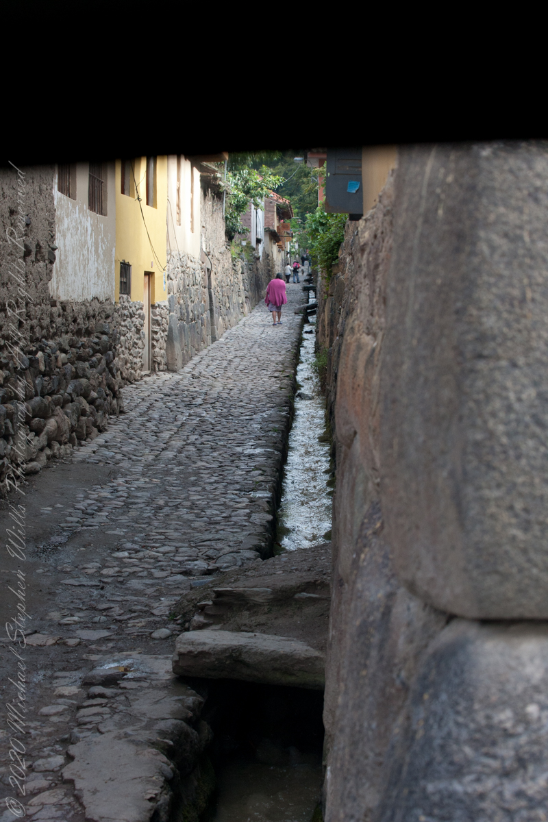
“Ollantaytambo dates from the late 15th century and has some of the oldest continuously occupied dwellings in South America. Its layout and buildings have been altered to different degrees by later constructions; for instance, on the southern edge of the town, an Inca esplanade with the original entrance to the town was rebuilt as a Plaza de Armas surrounded by colonial and republican buildings. The plaza at the center of the town also disappeared, as several buildings were built over it in colonial times.”
At an elevation around 9,300 feet the town is “low” compared to the surroundings.
We are on our way to Machu Picchu on Route 28B to the Ollantaytambo PeruRail station.