We enter Machu Picchu Sanctuary from the trail leading from Intipunku (the Sun Gate), which nowadays is the finish of the classic 4 days Inca Trail hike. There is also an entrance from the west from Vilcabamba.
The Guardhouse also known as the Caretakers Hut was a thatched roofed building constructed from crude stones and featured 3 walls and one open long side. The Guardhouse was a building used by soldiers who guarded two main entrances to Machu Picchu.
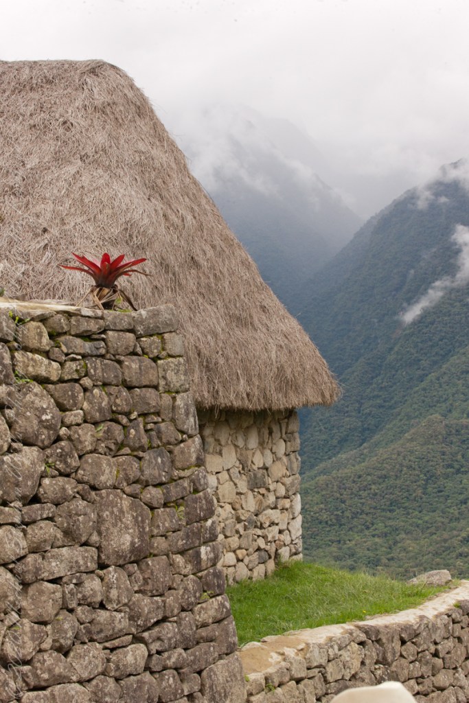
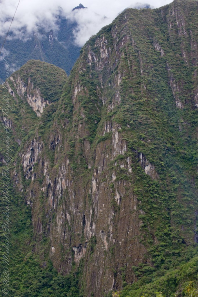
Below the Guardhouse are three thatch-roofed stone huts, the entrance trail passed beneath the lowest, shown here. A cliff of Huayna Picchu forms the background.
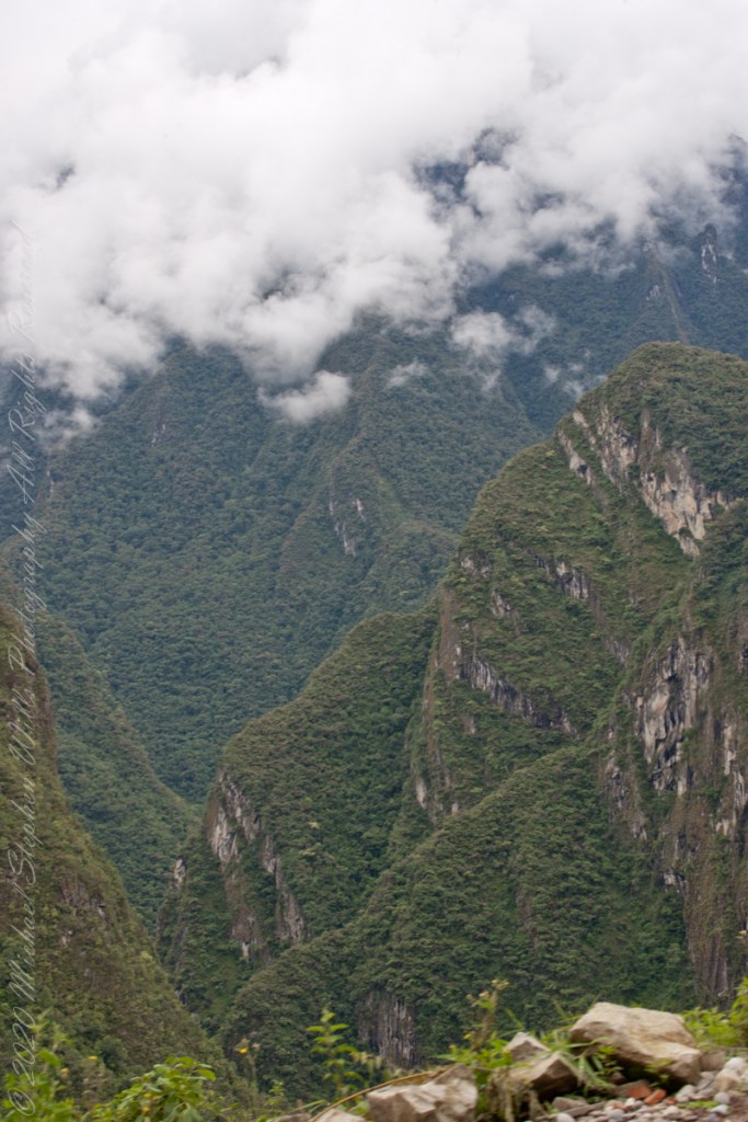
The Guardhouse is one of the first attractions on the upper tourist circuit around Machu Picchu. From its commanding high position in the south of the citadel, it is one of the best places for panoramic views of Machu Picchu, Huayna Picchu and surrounding mountains. On the stretcher descending the steps below the Caretaker’s Hut is a woman who collapsed during the tour. In attendance is her family and medical personnel.
Touring the site requires some stamina and care, there are many steep stone stairs to negotiate at approximate 8,000-foot altitude.
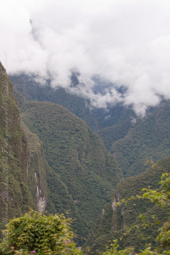
This is another view of the lowest stone hut with Urubamba River valley in background. We visited during rainy season and were well equipped with raincoats and umbrellas. By way of orientation, the red bromeliad in in the first photograph.
Copyright 2023 Michael Stephen Wills All Rights Reserved
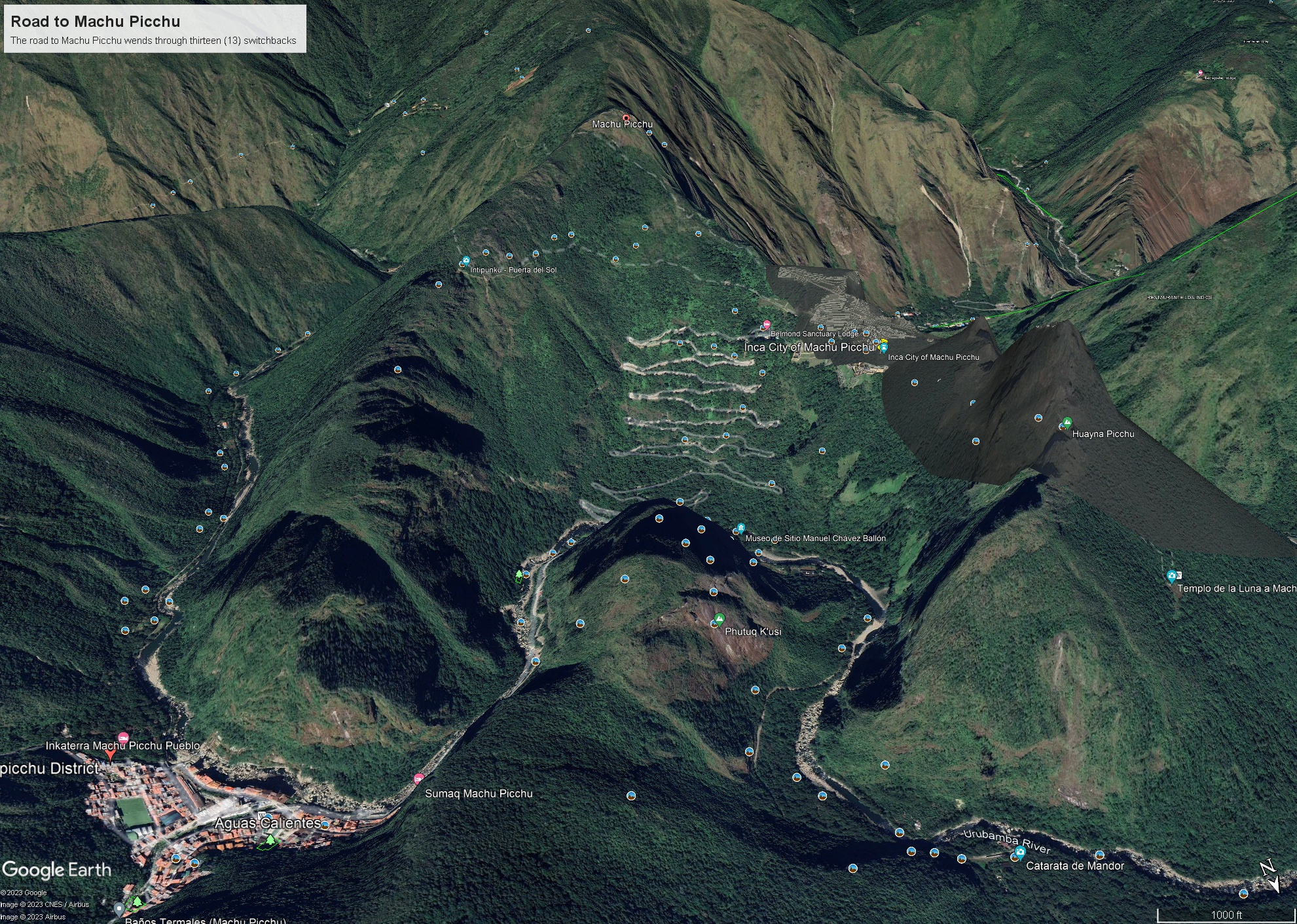
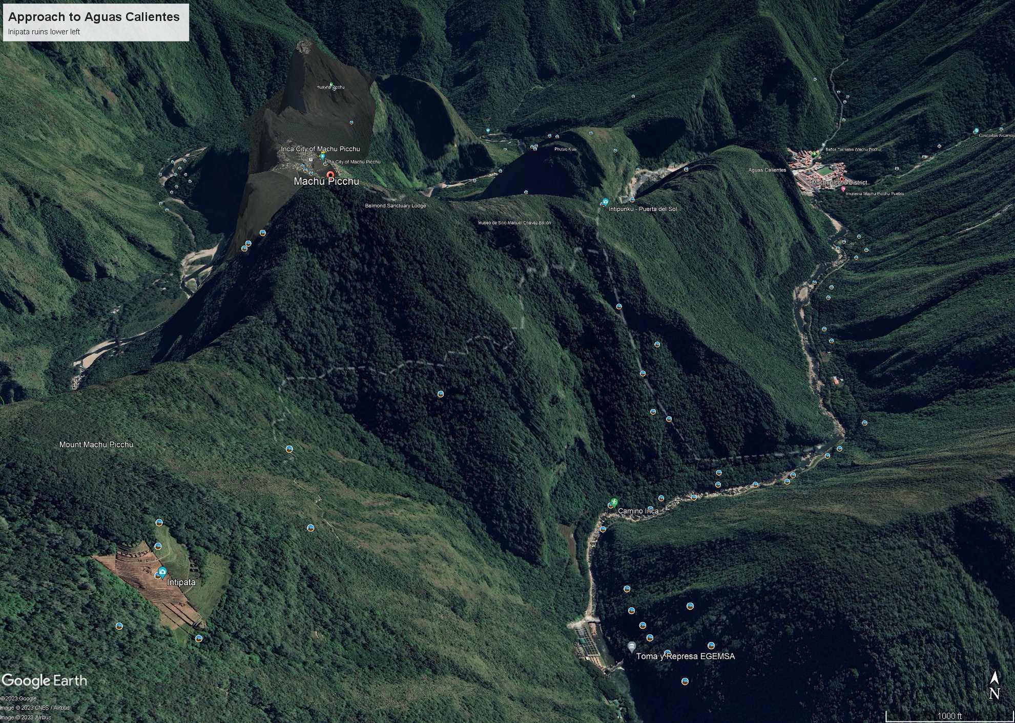
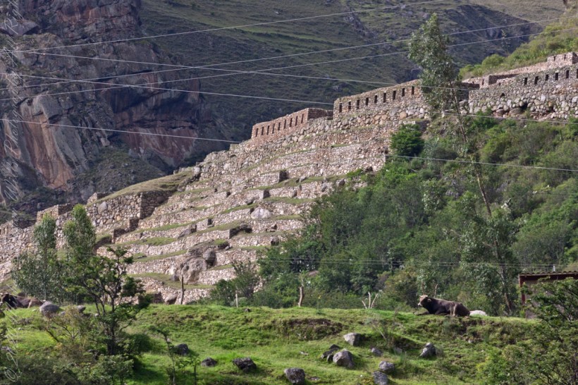
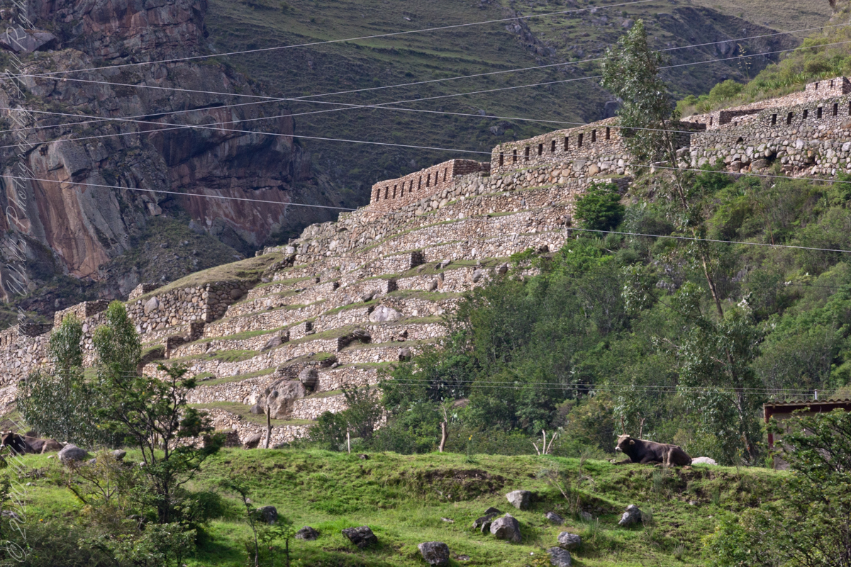
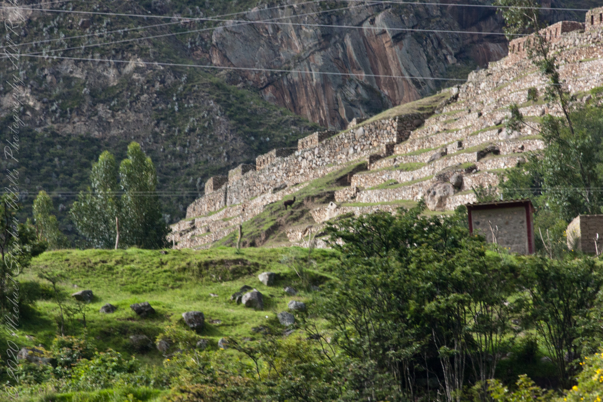
Intipata is an Inca archaeological site in Peru, two kilometers south of Machu Picchu, the eponymous peak of the archaeological site it dominates, to the north.
GoogleEarth: The approach to Aguas Calientes with Intipata Ruins at lower left
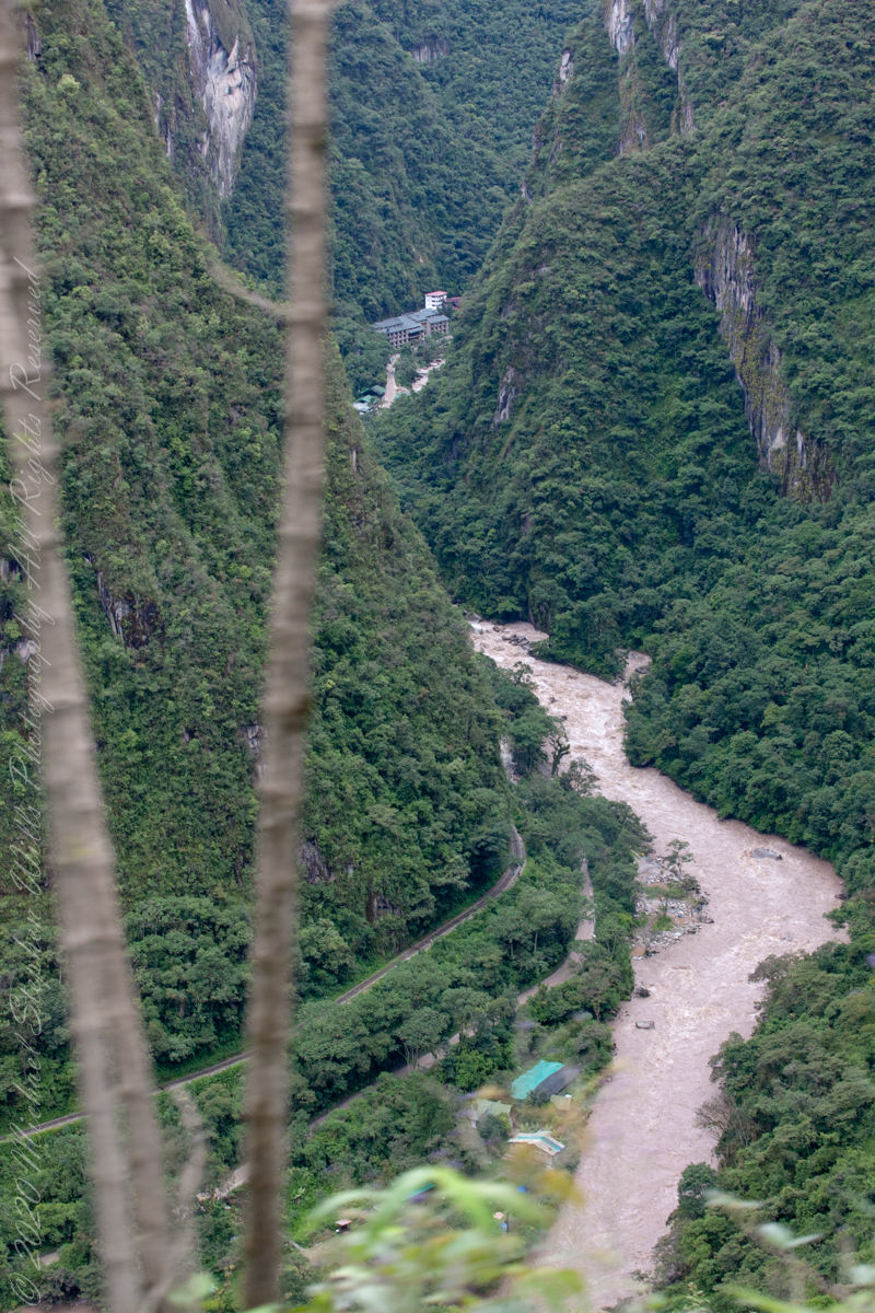
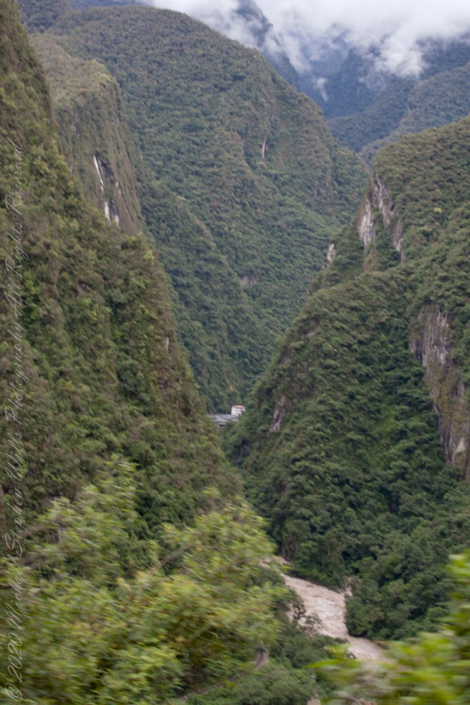
After passing Toronto Ruins, the train rounded a curve into the Amazonian rainforest. It was, frankly, boring, oppressive to proceed with greenery on either side blocking even the Sacred Valley walls rising on either side of the tracks. Thank goodness for the large roof viewing windows. I captured this photograph of the Intipata ruins on Machu Picchu peak by looking backwards through the roof window.
“Intipata is an Inca archaeological site in Peru, two kilometers south of Machu Picchu, the eponymous peak of the archaeological site it dominates, to the north. It seems to be, at the current stage of research, a set of agricultural terraces, without the presence of habitat nearby.”
“Similar to many Incan archaeological sites, Intipata shows great evidence of having canals to water crips. These canals are distributed among each of the levels of stairs in the Intipata ruins. These stairs or terraces are quite large and would have accommodated many different kinds of crops on different levels. Each level might have been specific to a certain plant. These ruins were mostly used for the domestication of wild plant species.”
“When you visit Intipata you will be able to see over 150 types of edible plants along the way. Among the plants, the Inca domesticated would be the common potato. There are also quite a few aromatic plants and flowers in this region, so if you are into botany, this section should be quite entertaining. Among some of the local flowers, you will see over 200 types of orchids along this stretch of the Inca trail, some can only be found right in this part of the cloud forest.”
“The purpose of the multi-leveled Intipata ruins was also to avoid the natural erosion of the mountain since this area was also used for religious ceremonies.”
“The Incas tried to use as much land as effectively as possible in their crop growing ventures. The ever-increasing Incan empire needed food and this was the best way to secure it. The Inca conquered new tribes very often and instead of killing them would offer to have them join their empire. Intipata is located near the Inca Trail in Machu Picchu. Intipata is formed on two parts, Inti meaning the manifestation of the sun in Inca mythology, and pata which means in Quechua “high”, the “ledge”, the “platform”, the “place” or “square”, the “terrace” or “staircase”, so that the name means more.“
“Intipata is formed on two parts, Inti meaning the manifestation of the sun in Inca mythology, and pata which means in Quechua “high”, the “ledge”, the “platform”, the “place” or “square”, the “terrace” or “staircase”, so that the name means more or less “the terraces of Inti”.“
Copyright 2023 Michael Stephen Wills All Rights Reserved
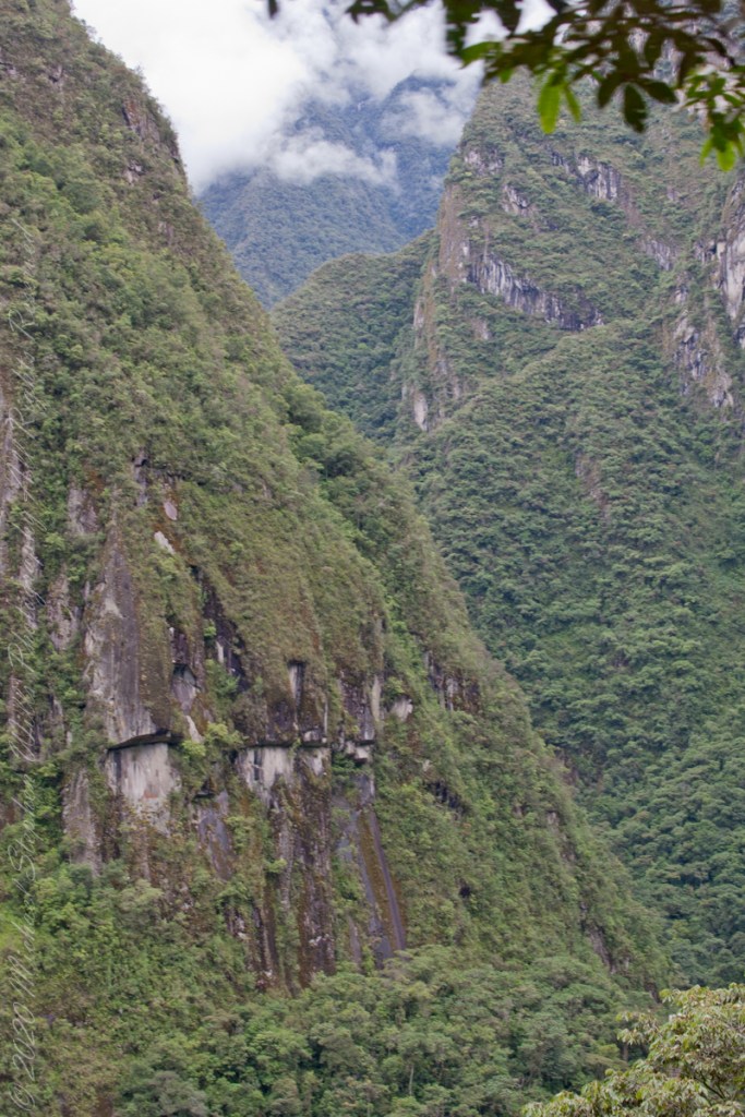
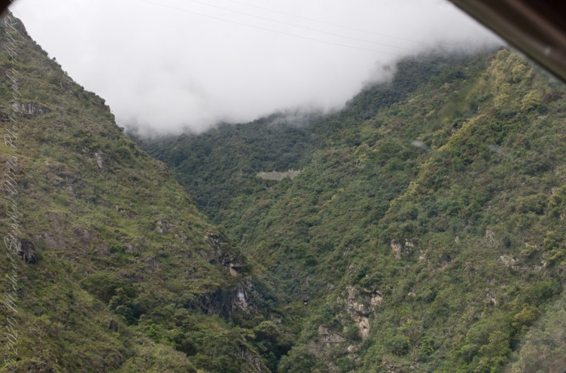
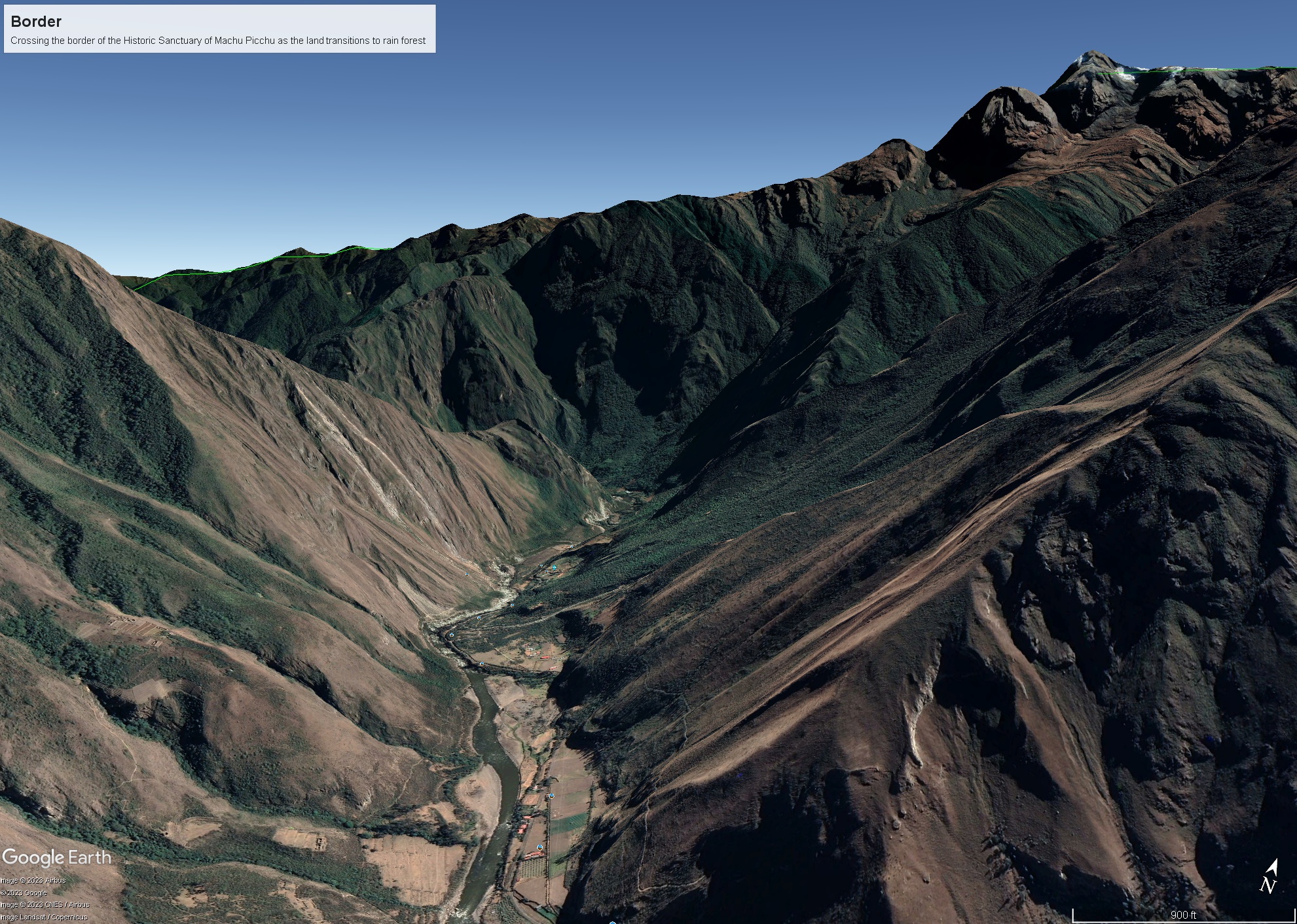
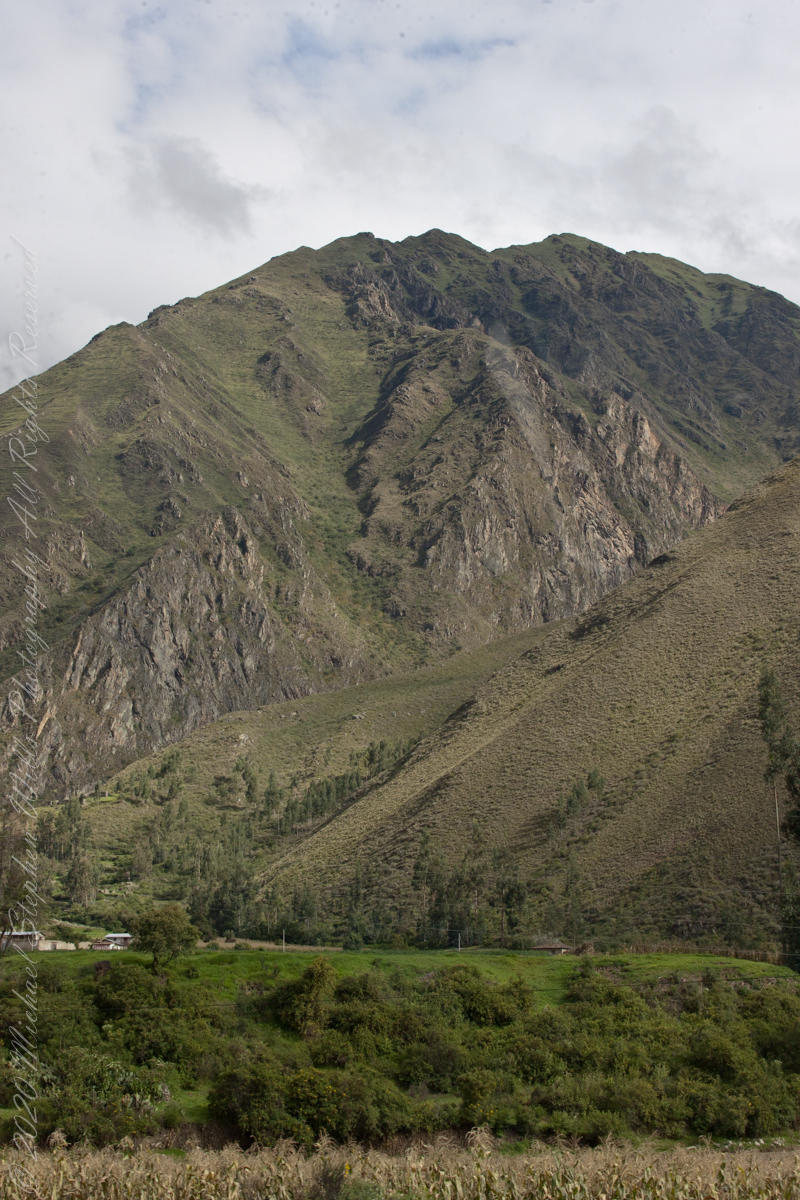
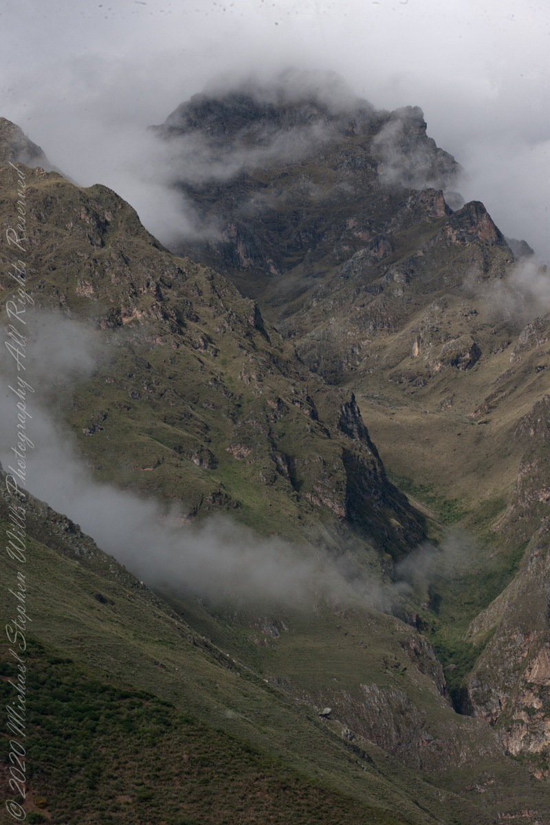
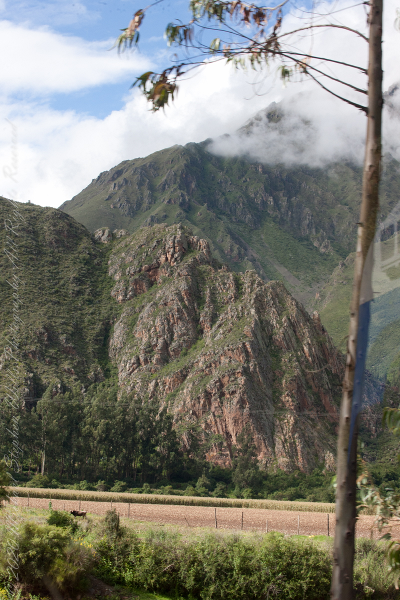
As we crossed the border of the Historic Sanctuary of Machu Picchu the valley walls rose steeply on either side, the land transitioning to rain forest.
Google Earth We approach the border of the Historic Sanctuary of Machu Picchu
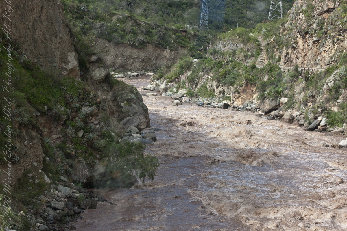
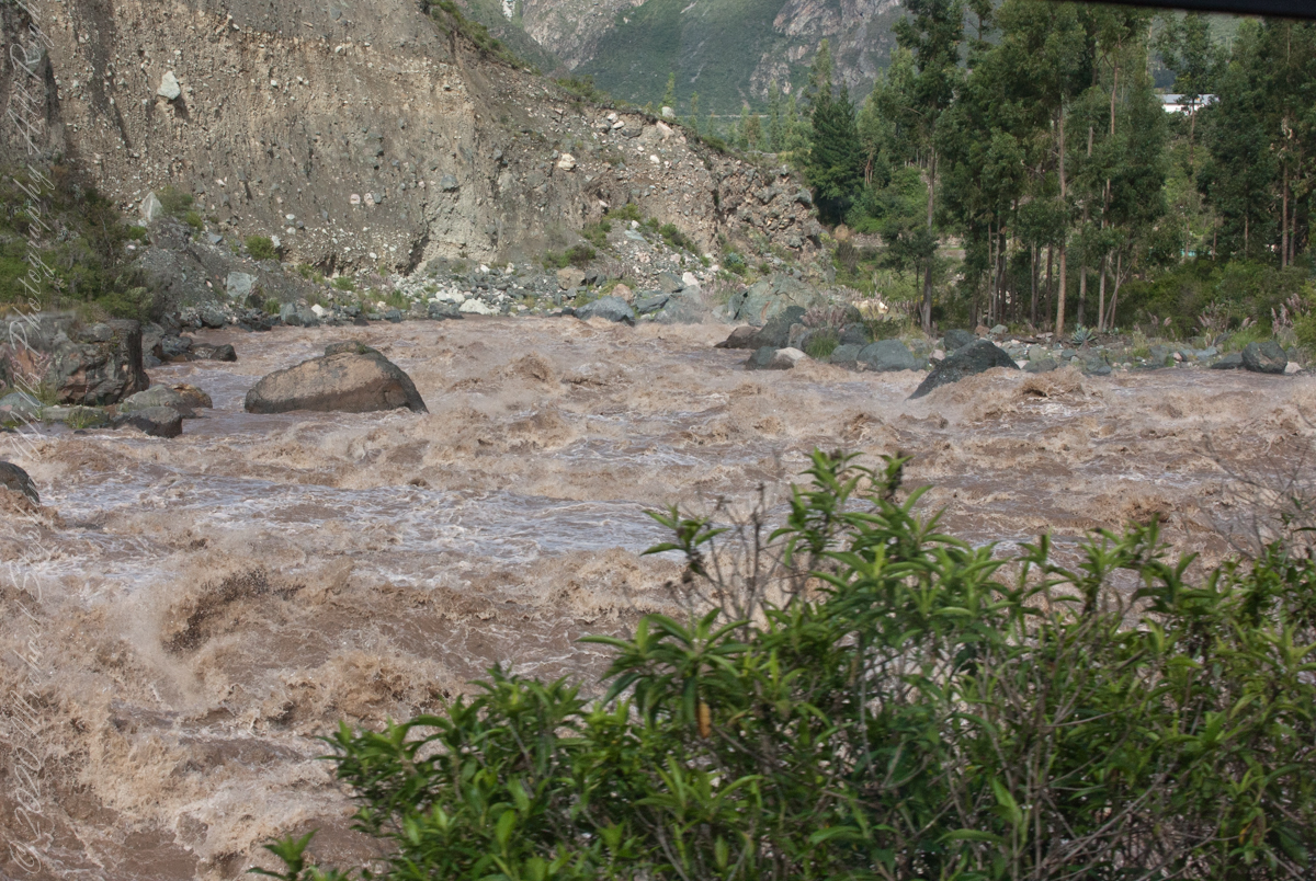
We entered a short tunnel through a mountain ridge, providing us this close view of the Urubamba River.
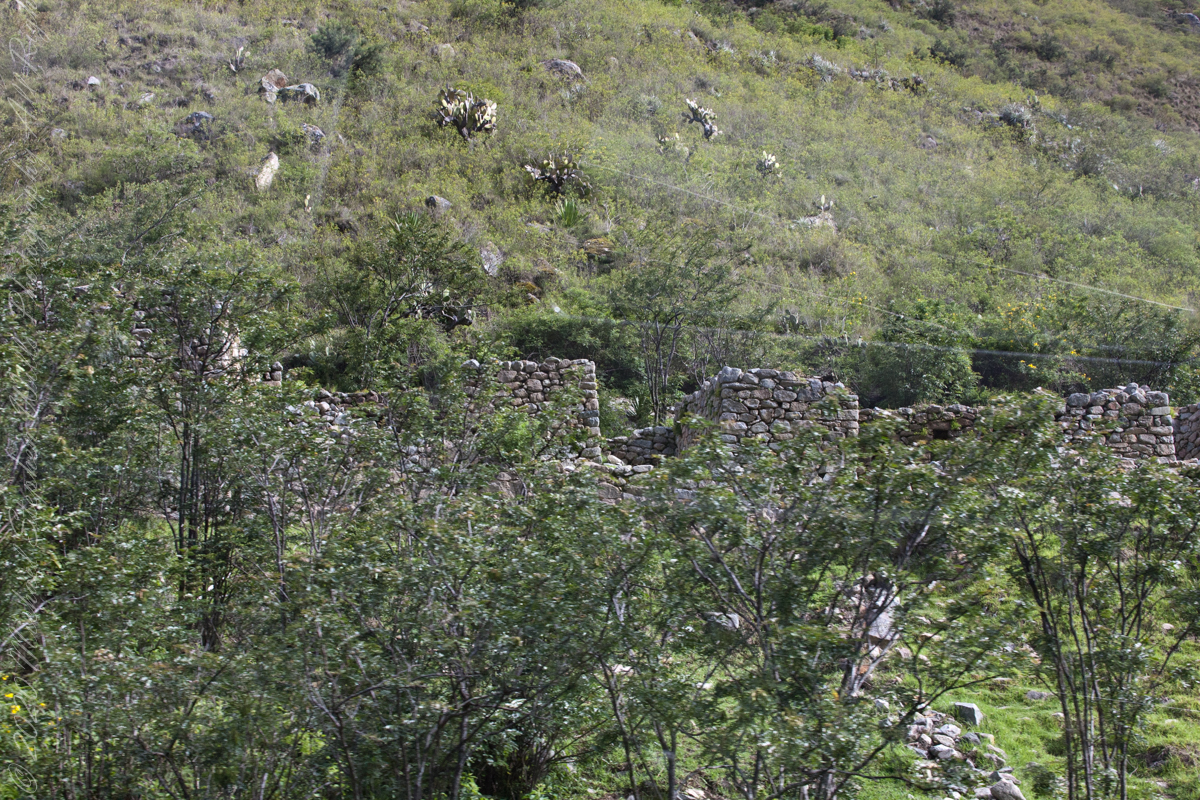
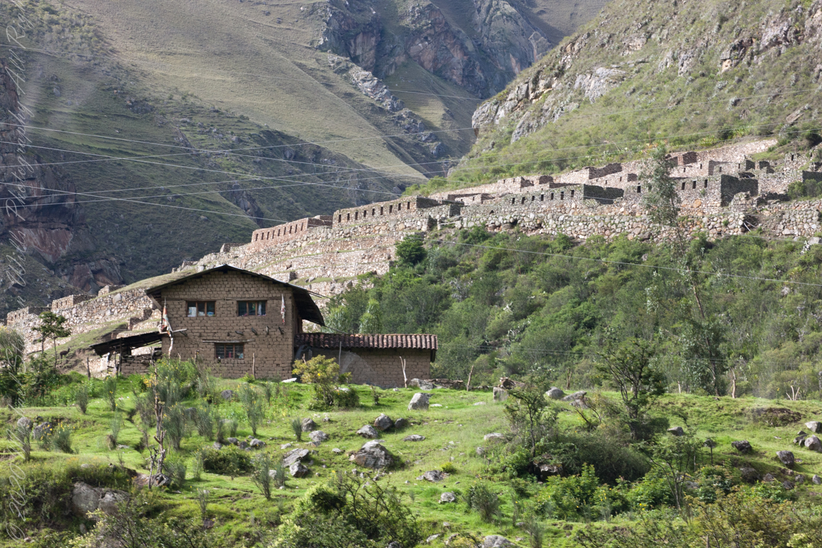
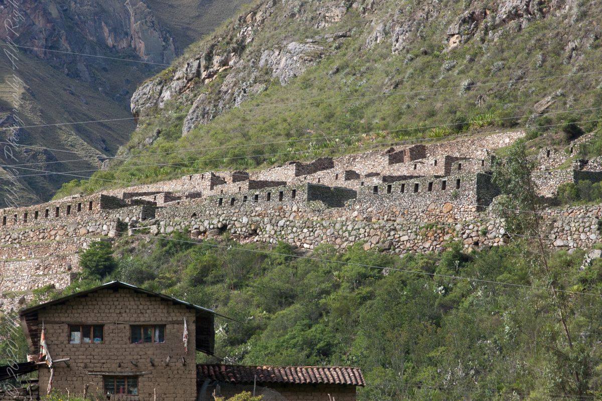
Next we came upon the Toronto Ruins.
The Toronto complex includes seven (7) archaeological groups and is in front of the Q’ente Complex, separated only by the Urubamba River, possibly they were independent chiefdoms with a strong economic bond.
The seven (7) archaeological groups are Torontoy: The local farmers call it Inkaperqa or Inca raqay, alluding to what they see. In this place we can find a main doorway, several groups of enclosures, patios or free areas separating the buildings, vestiges of a liturgical bath and a central enclosure with a lithic piece of more than 40 angles that joins other twenty-eight pieces with exact interlocking in the joints.
Salapunku: means hall door in the Inca language, because what is most obvious is a wide door that is on a platform that runs as a street in front of the wall. Behind the door we find cyclopean platforms and plains with remains of stairways, interior roads and remains of aqueducts. Qhanabamba translates to pampa where the grass “qhana” grows. It is at the height of Km. 85 of the railroad line. We can find a series of one-story buildings and a two-story building which is the largest. Wayrajpunku: meaning windy door (alluding to a windy place). In this group we find remains of buildings and a partially standing enclosure, there are vestiges of aqueducts, paths and overcrowding of canted stones that were part of constructions.
Pincha Unuyuj: Here were made the best hydraulic works of the zone, the crystalline waters that descend, appear channeled by wide lithic channels; also we find from the bank of the river a succession of parallel platforms, a road that leads to an adoratory carved in the rock insitu, ascending some houses and an observation tower. Qoriwayrachina It means gold winnowing. We can find the following: A huge staircase with more than one meter wide, semicircular ramparts, platforms as retaining walls and a vertical slope worked that is on the turbulent waters of the river.
Retamayuj, having a broom, in this group we can find long platforms with semi-cyclopean walls, tombs that are desecrated at the base of the mountain and others intact. In 2008 A team from Peru’s National Institute of Culture (INC) working on the ruins of Torontoy in the Historic Sanctuary of Machu Picchu, discovered the tomb of an Inca with full funerary regalia. The gender and age of the tomb’s owner has not yet been determined but found with the body were a number of decorated ceramics and two pins.
Copyright 2023 Michael Stephen Wills All Rights Reserved
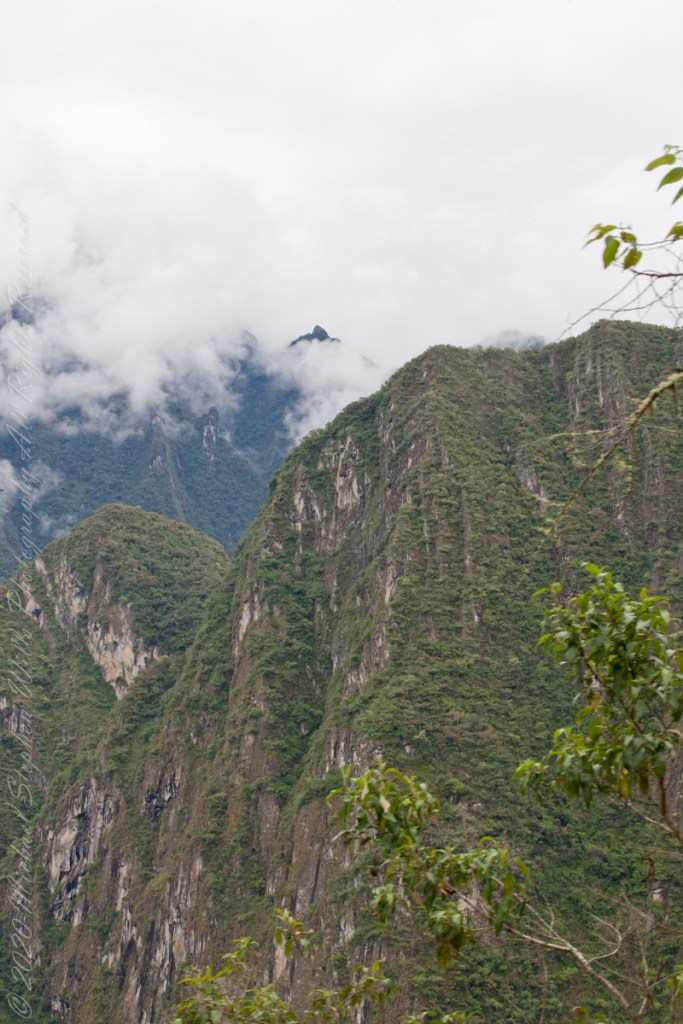
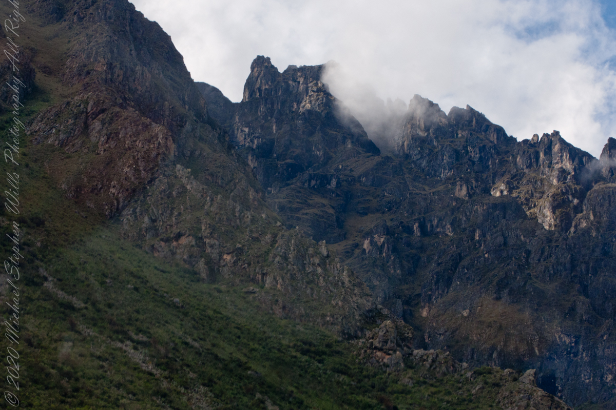
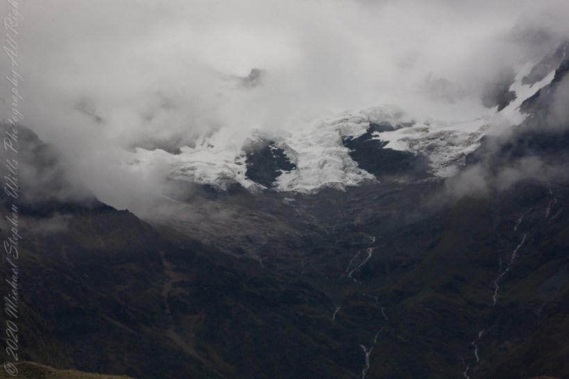
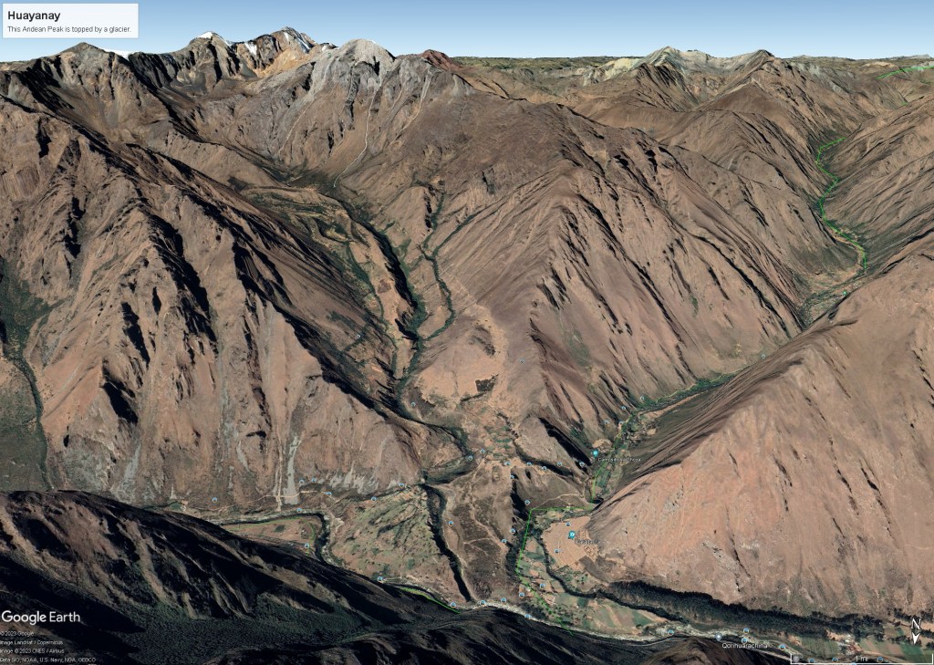
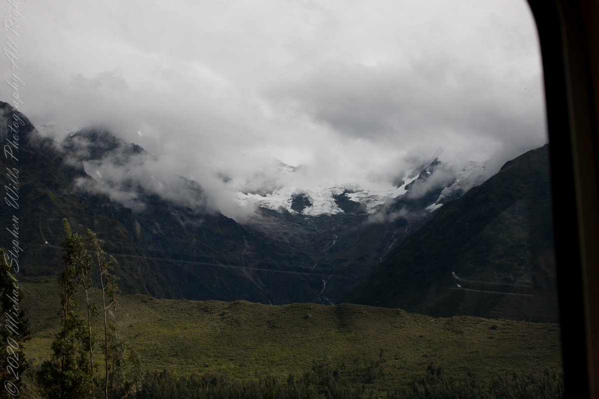
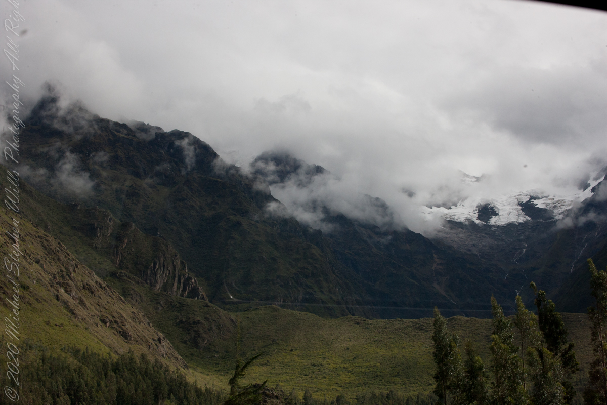
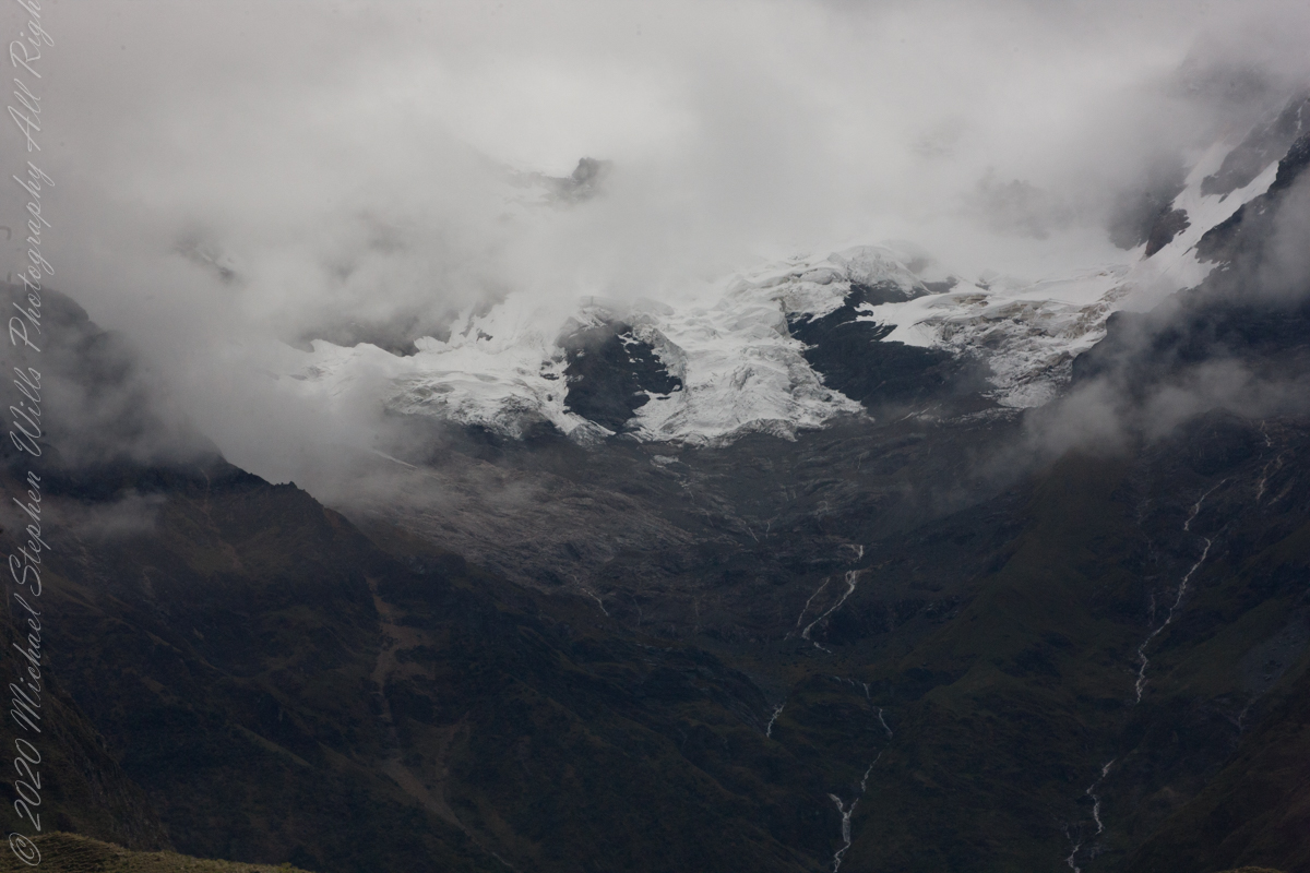
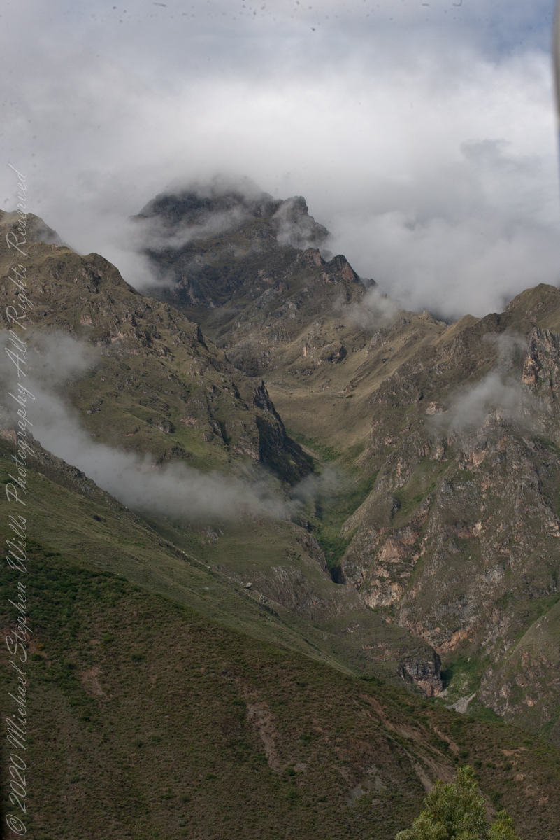
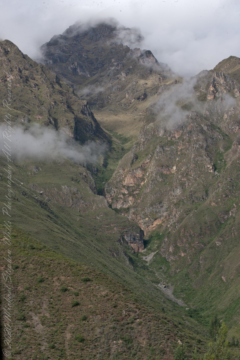
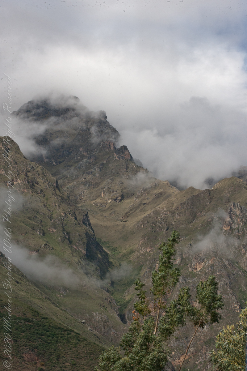
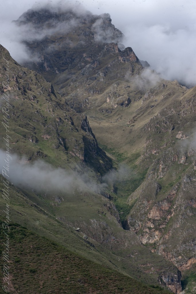
Our guide distracted us from the river by pointing out this glacier nestled among clouds. The following image from GoogleEarth features the peak, named Huayanay, on the upper left. PeruRail track follows the Sacred Valley floor at the foot of the cliff seen lower left and proceeding to the lower right. Another valley starts from Sacred Valley and goes south, carved by the Cusichaca river. Look closely to see the Patallacta Inca ruins above that same river. These were not visible from the train. A few minutes later we viewed another Inca ruin site.
Google Earth
“Huayanay (Quechua for swallow) is a mountain and a massif in the Vilcabamba mountain range in the Andes of Peru, about 5,464 metres (17,927 ft) high.”
“The massif is located in the Cusco Region, Anta Province, Huarocondo District and in the Urubamba Province, Ollantaytambo District. Huayanay lies east of the Andean peaks Salcantay and Paljay.“
Reference: Wikipedia, “Huayanay.”
Copyright 2023 Michael Stephen Wills All Rights Reserved
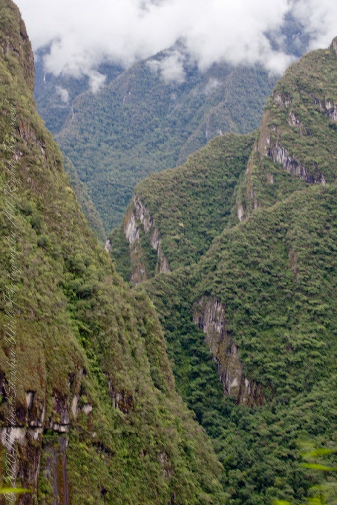
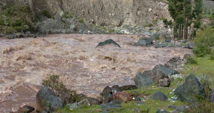
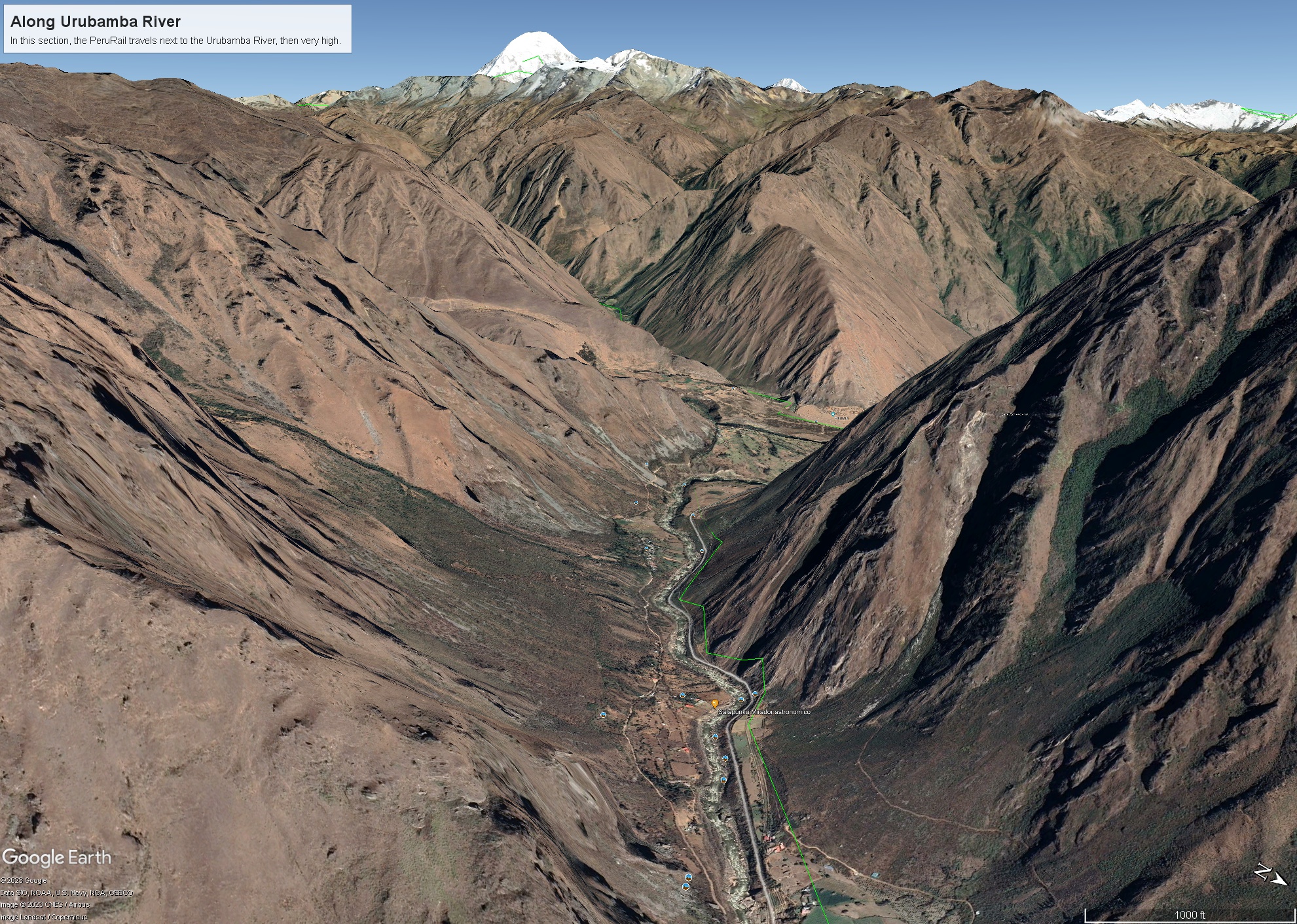
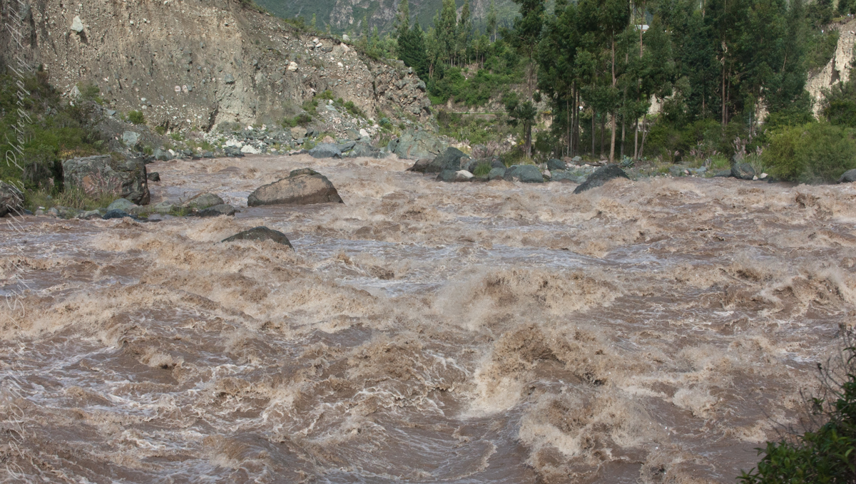
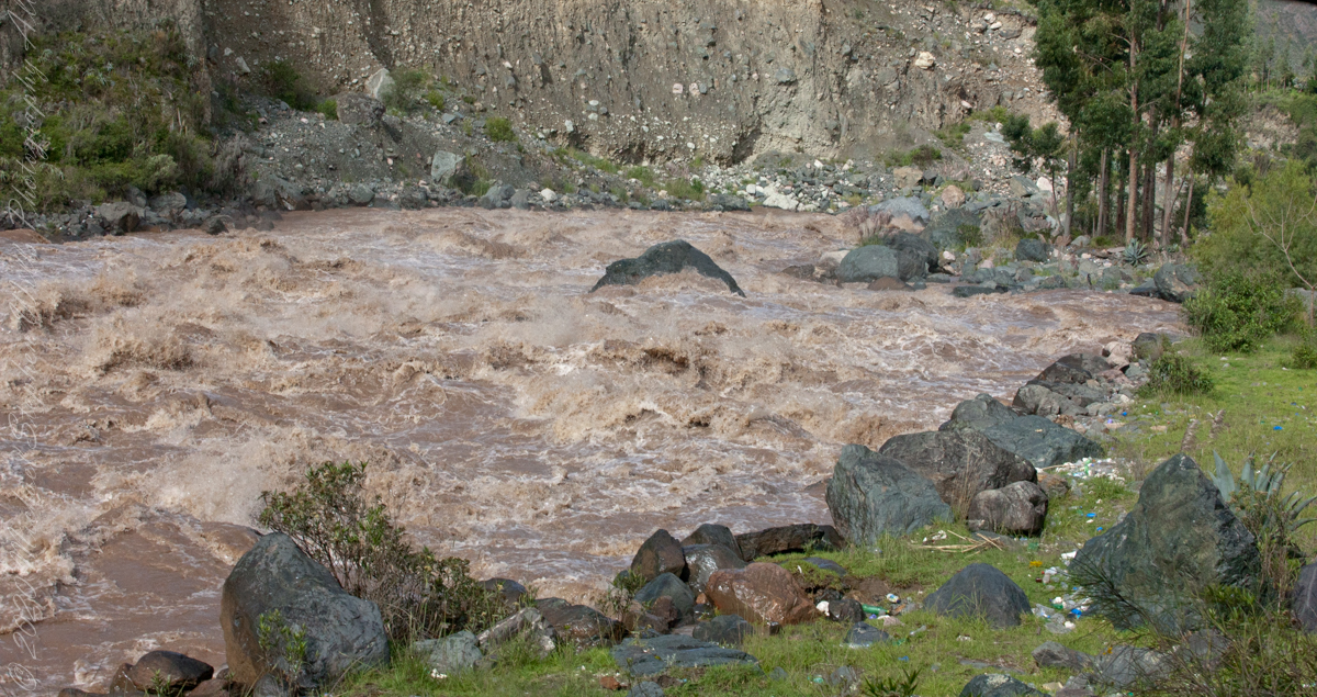
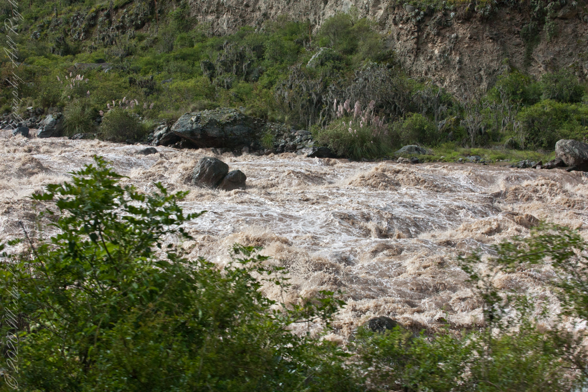
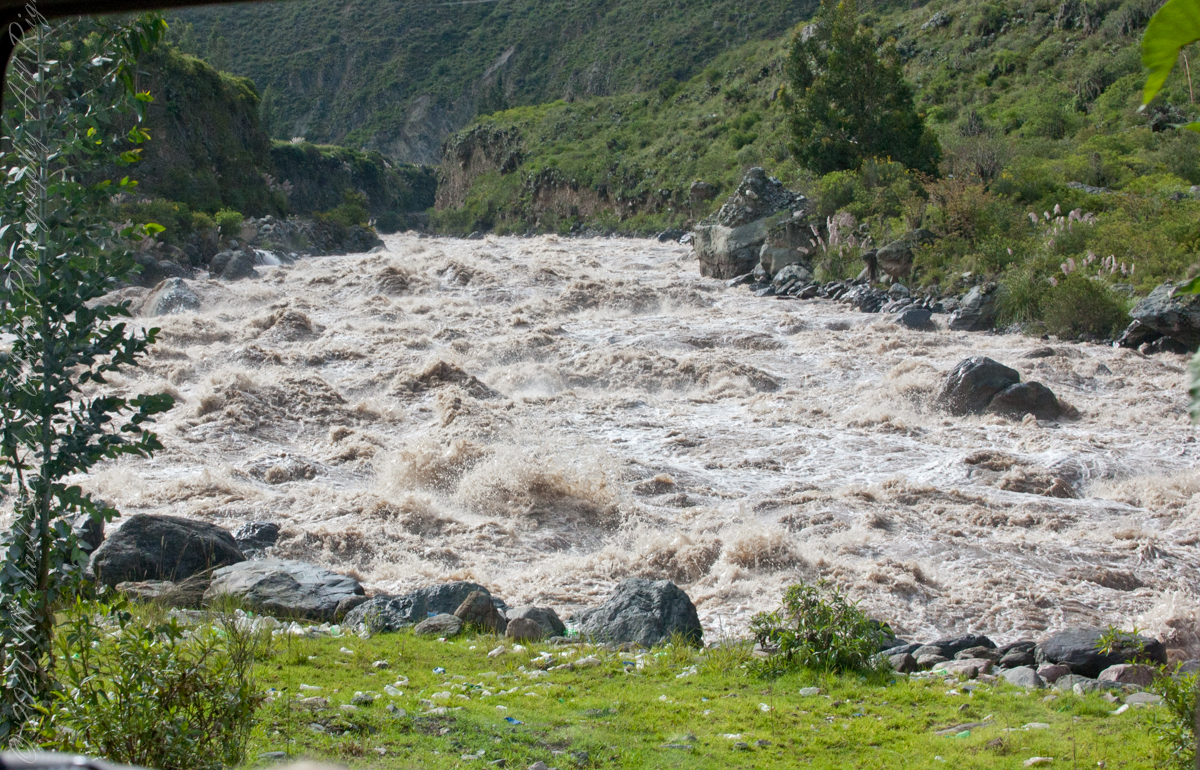
Next, PeruRail traversed a narrow valley carved by the Urubamba River. Here is an overview for our course taken from Google Earth.
Google Earth
“The Urubamba River or Vilcamayo River (possibly from Quechua Willkamayu, for “sacred river”) is a river in Peru. Upstream it is called Vilcanota River (possibly from Aymara Willkanuta, for “house of the sun”). Within the La Convención Province the naming changes to Urubamba. A partially navigable headwater of the Amazon River, it rise in the Andes to the southeast of Cuzco. It originates on the slopes of Khunurana in the Puno Region, Melgar Province, near the La Raya pass. It flows north-north-west for 724 kilometers before coalescing with the Tambo River to form the Ucayali River.”
“The Urubamba is divided into Upper Urubamba and Lower Urubamba, the dividing feature being the Pongo de Mainique, an infamous whitewater canyon.“
“The Upper Urubamba (Alto Urubamba) valley features a high population and extensive irrigation works. A number of ruins of the Inca Empire lie in the Sacred Valley, including the Incan city of Machu Picchu, Patallaqta, Pikillaqta and Raqch’i. The Salcca-Pucara hydroelectric project is associated with the river as well.“
“The Lower Urubamba (Bajo Urubamba) is relatively undeveloped and features a significant indigenous population consisting of the Campa tribes, principally the Machiguenga (Matsigenka) and Asháninka. The economy is based on forestry and the nearby Camisea Gas Project. The main settlement in the region is the town of Sepahua.“
“The lower Urubamba River was mapped for the first time in 1934 by Edward Kellog Strong III. He and two friends from Palo Alto, California, Art Post and Gain Allan John, navigated the river with its ferocious rapids by canoe and balsa rafts provided by the indigenous people. The mapping was done at the request of the Peruvian military when they heard of the expedition planned by the three 18-year-olds.”
“John Walter Gregory, a British geologist, drowned in the river on June 2, 1932 while on a geological expedition to the Andes“
“It was turned over to the military when the boys arrived in Iquitos. It was the only map of the river until it was mapped by satellite many years later. The names and places on the latest map came from the original map drawn by Edward Strong.“
Reference: Wikipedia, “Urubamba River.”
Copyright 2023 Michael Stephen Wills All Rights Reserved