My research for Zion Narrows I included a useful map. Perusing the the National Park Service web site I could find nothing for the Narrows. This week, while perfecting the three file merge, I kicked around in “google” and found this map hidden away in a section devoted to dedicated canyoneers planning multiple day backpacks through the entire canyon. These trips are from the “top down” and, I suppose, they do not want to expose the information to day trippers.
Anyway, I downloaded the map and present it here. You can either click on the hyperlink or click “download” to view the map. The file is a 2.5 MB pdf, if you want to download it. The trail accessible from the park proper starts from the bottom. Pam and I made it to just beyond where Ordway canyon joins, about 2 hours from the start. Note there are NO places to escape a flash flood beyond this point and, below, we learned from observation there are few places and many of these were for hikers more, lets say, nimble than Pam and myself.
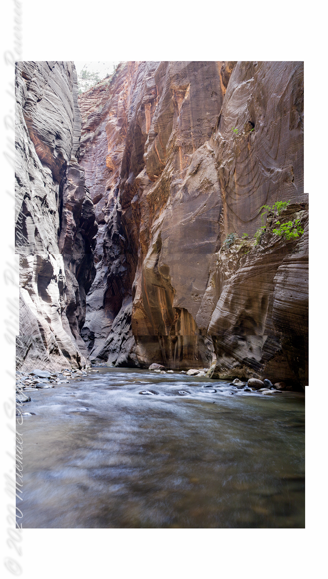
The following is the result of several hours work merging the three files of Zion Narrows I. Click on the image to open a larger version in a new tab.
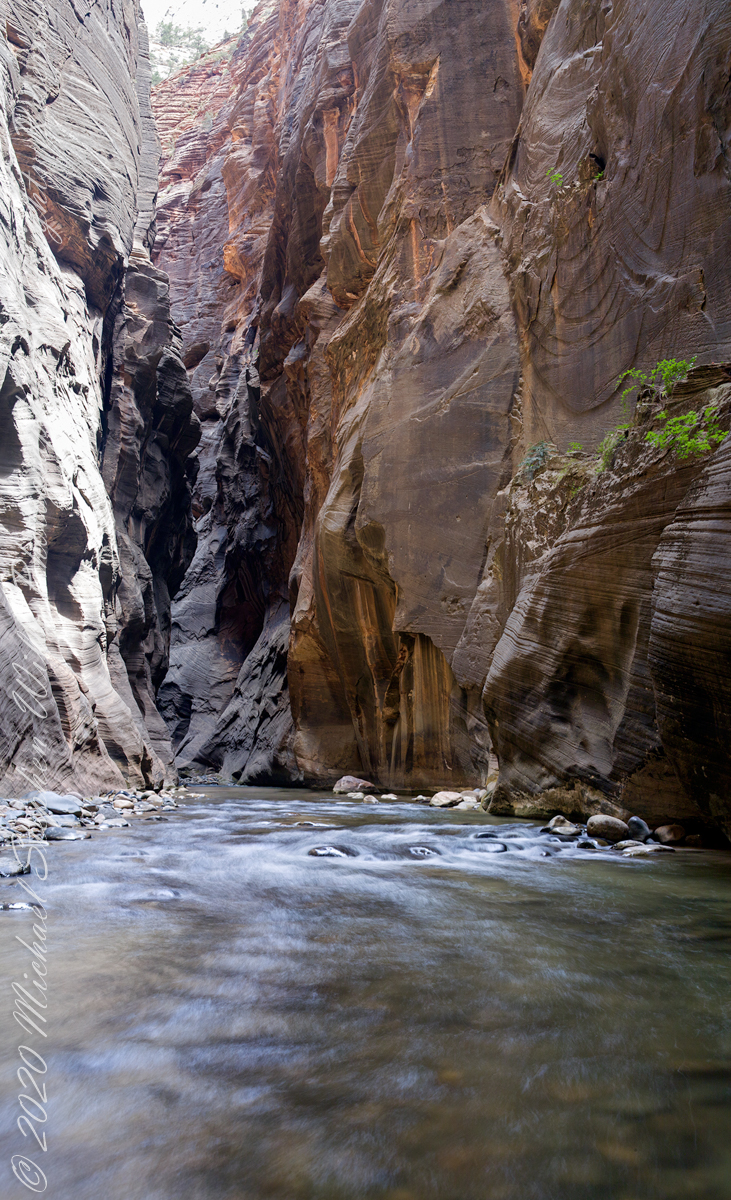
This is a comparison of the before and after photographs. Enjoy!!

Good searching, Michael.
Sent from my iPhone
>
LikeLiked by 1 person
Good morning, Theresa
LikeLike
Love Zion!
LikeLiked by 1 person
hard not to, unless a cliff fall is involved (it does happen)
LikeLiked by 1 person
😳😂
LikeLiked by 1 person
Dear Michael,
GREAT pictures 👍
Thanks for sharing.
Wishing you a wonderful weekend
The Fab Four of Cley
🙂 🙂 🙂 🙂
LikeLiked by 1 person
greetings, happy summer weekend to all
LikeLiked by 1 person
We just came back from the sea. A little swim and now we are hungry.
All the best to you
The Fab Four of Cley
🙂 🙂 🙂 🙂
LikeLiked by 1 person