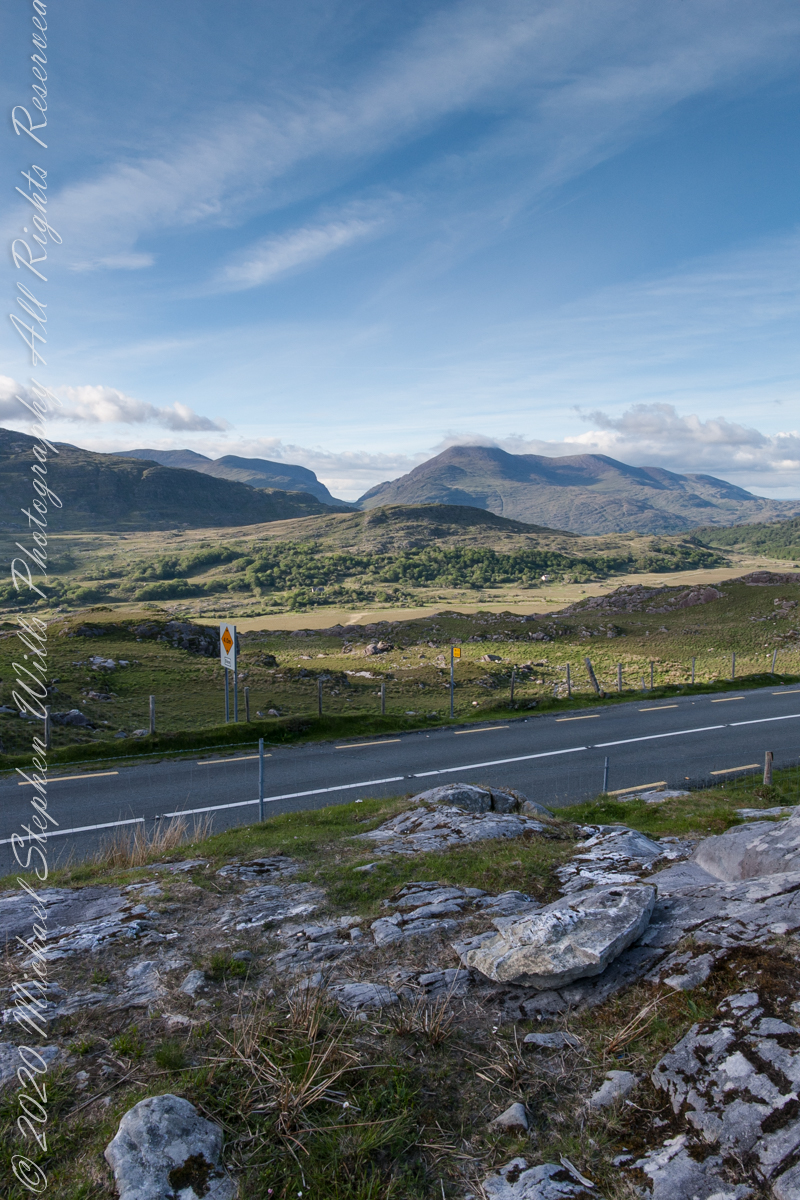
Here we are, on the road from Kenmare to Killarney, N71, part of the Ring of Kerry around the Iveragh Peninsula. The spot is the mountain pass Moll’s Gap, also known in the Irish language as Céim an Daimh (meaning, Gap of the Ox). In the Nineteenth Century a woman named Moll Kissane ran a public house here, operating illegally.
The mountain of this townland, named Eirk (also known as Adhard) , is composed of a fine grained sandstone found in a wide swath from North America’s northeastern coast, Greenland, Ireland, Great Britain — lands formerly part of the same ancient continent.
Click pic for larger view in a new browser tab. If you are in WordPress Reader, open the post to use this feature.
Copyright 2021 Michael Stephen Wills All Rights Reserved

From your photo, I see a significant number of pretty good-sized rocks. Is this scene evidence of ancient glacial activity? Thanks Michael.
LikeLiked by 1 person
Thanks for the question and insight, BigSkyBuckeye. Yes, Ireland was burdened with glaciers during the last ice age (and others before, as well). Moll’s Gap and Dunloe Gap were formed by the power of ice.
LikeLiked by 1 person
Michael, thanks for sharing. When I lived in northeastern Montana, one could see evidence of glacial activity. Many farm fields featured a huge rock pile off to the side.
LikeLiked by 1 person
Rocks in glacial deposits will have the edges worn away, like river pebbles.
LikeLiked by 1 person