(Click any photograph to visit my online gallery)
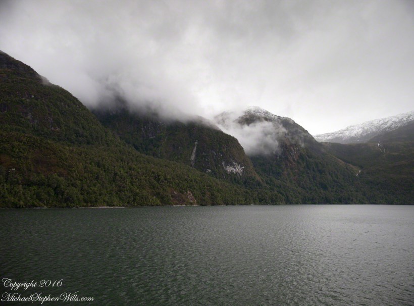
By 2:45 pm local time the Oceania was almost 4 miles into Tempanos Fjord, 10.5 miles from the Iceberg Glacier, when this telling gash on a mountain buttress forming the side of one of many glacial valleys.
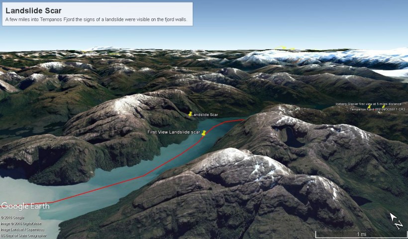
Here is the Google Earth overview of our course that day through Tempanos Fjord, as the red line. Visible is the Farquhar Fjord, to the north. Marked is the position of the scar and the approximate position where I took the first view. Where the fjord bends to the southeast the glacier is not yet visible.
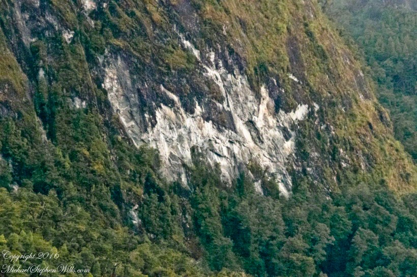
The scar, for all the rawness of the stone, is not recent. There was time for a forest to cover the destruction. The Oceania steamed past, making steady progress. The gash appeared ahead, unremarked. I wonder what the effect was after the cracks, slowly widened over decades by the ice, forced friction to give way to gravity, the mountainside sliding, perhaps, into the fjord. Hard to tell. There is no remnants of the slide visible.
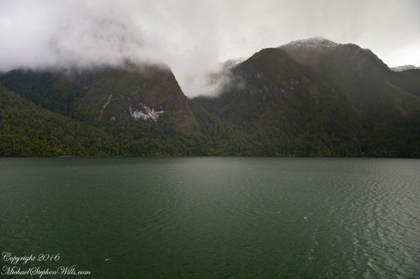
All is larger than it first appears. Those are full size pines below the scar. It is the steepness of the cliff face that holds off the vegetation, the whiteness of the rock the source of the apparent freshness of the gash.
The mountainsides are threaded with waterfalls. Look closely to the left of the gash for a very thin line ending in a spray.

As a Geography student, i loved this piece! The power of nature is amazing!
LikeLiked by 1 person
Yeah, I am a nerd where it comes to knowing the where, what, how and why of travel / places.
LikeLiked by 2 people
sapremo mai come si creano alcune zone della natura?
L’importante è avere la possibilità di guardarle.
LikeLiked by 1 person
There is a great deal we have learned to understand over time. Thanks for visiting and ALL your great comments, fulvialuna.
LikeLiked by 1 person