Click Me for my Online Gallery
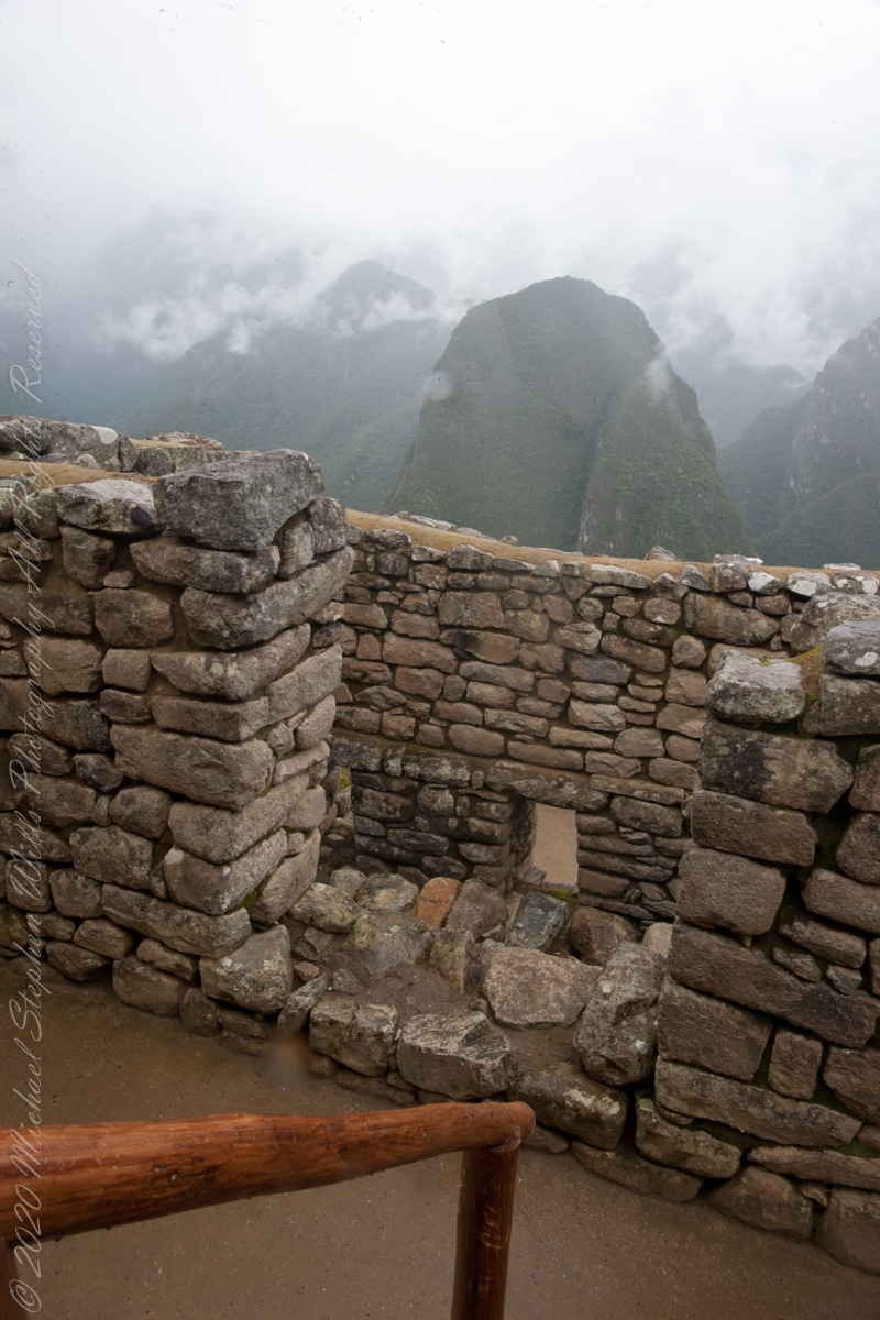
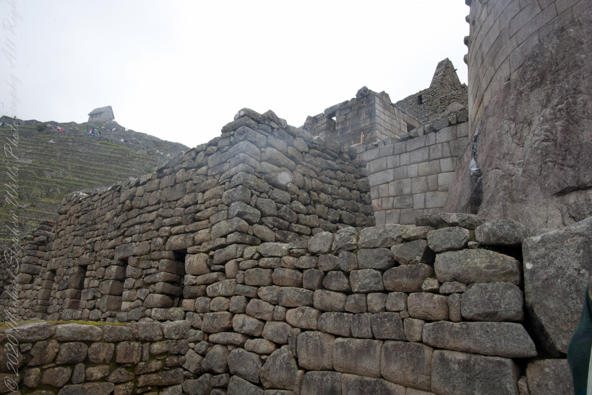
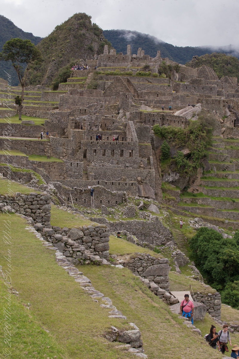
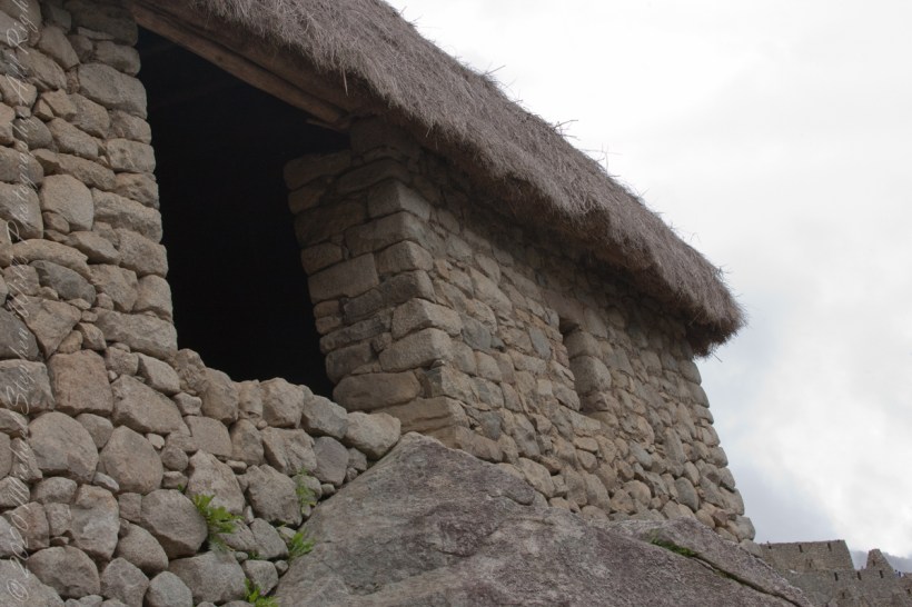
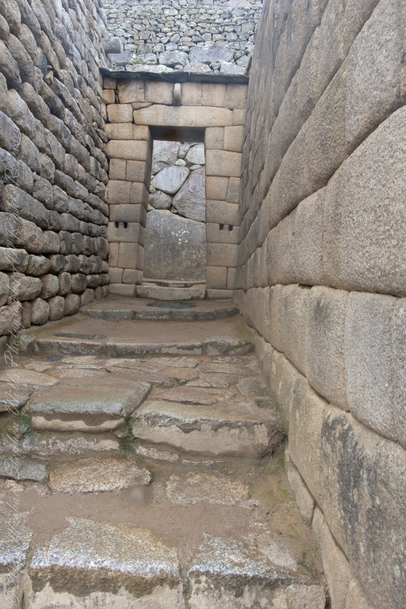
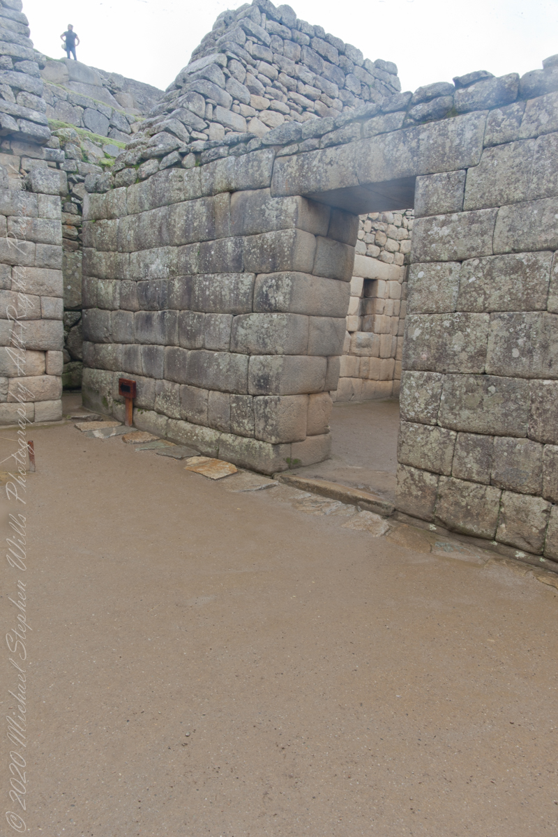
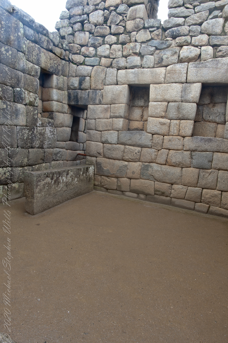
“The central buildings use the classical Inca architectural style of polished dry-stone walls of regular shape. The Incas were masters of this technique, called ashlar, in which blocks of stone are cut to fit together tightly without mortar.“
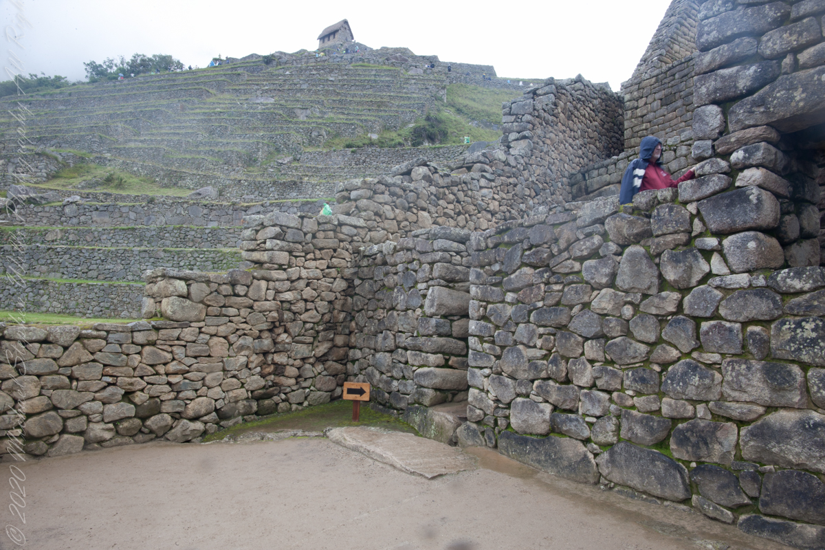
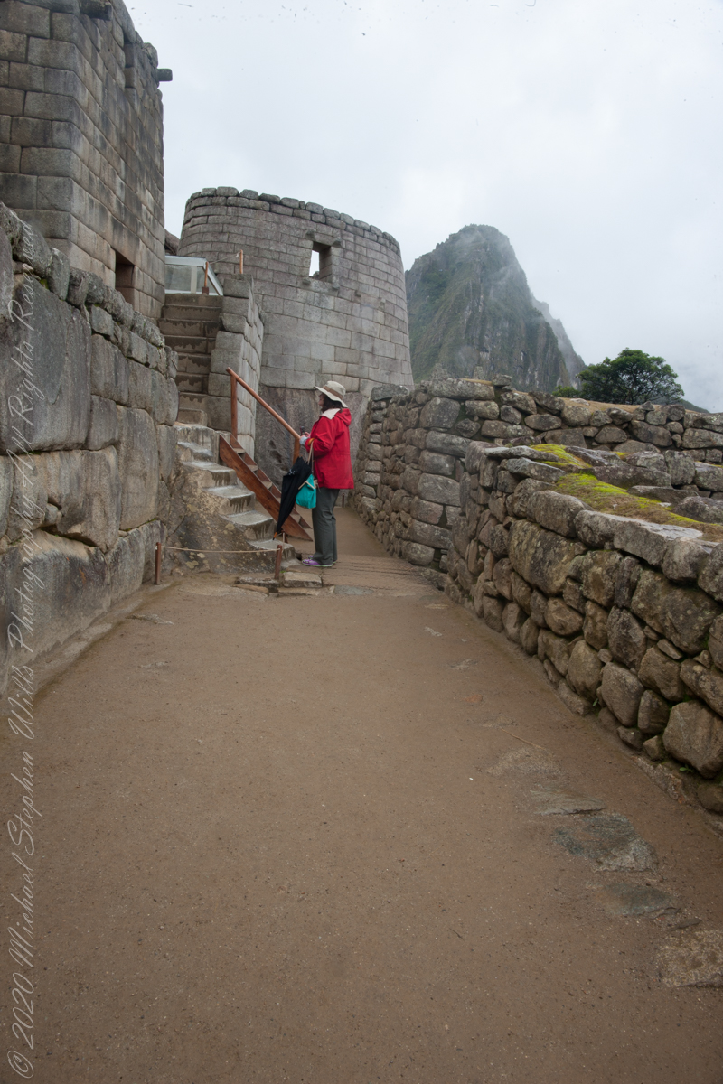
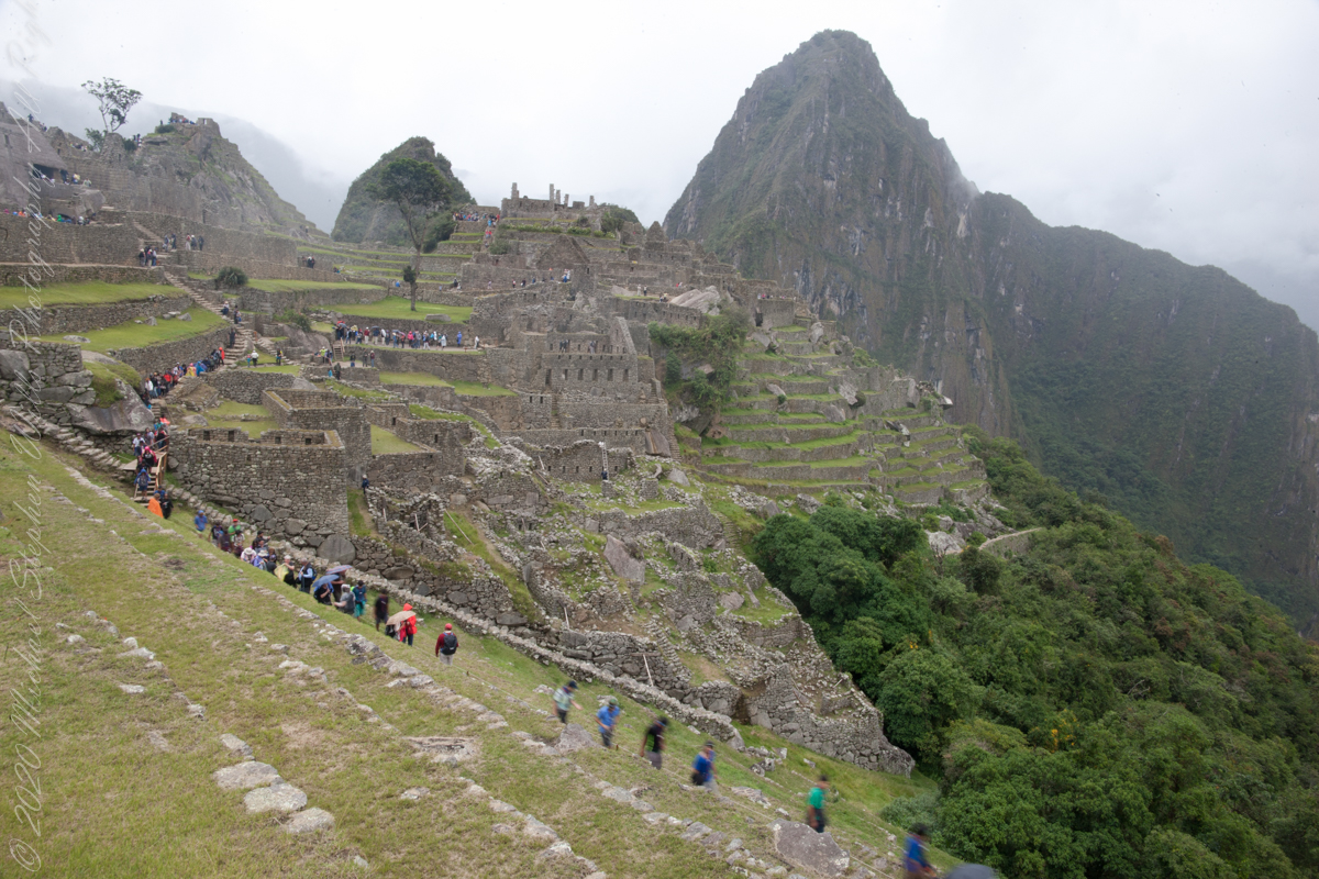
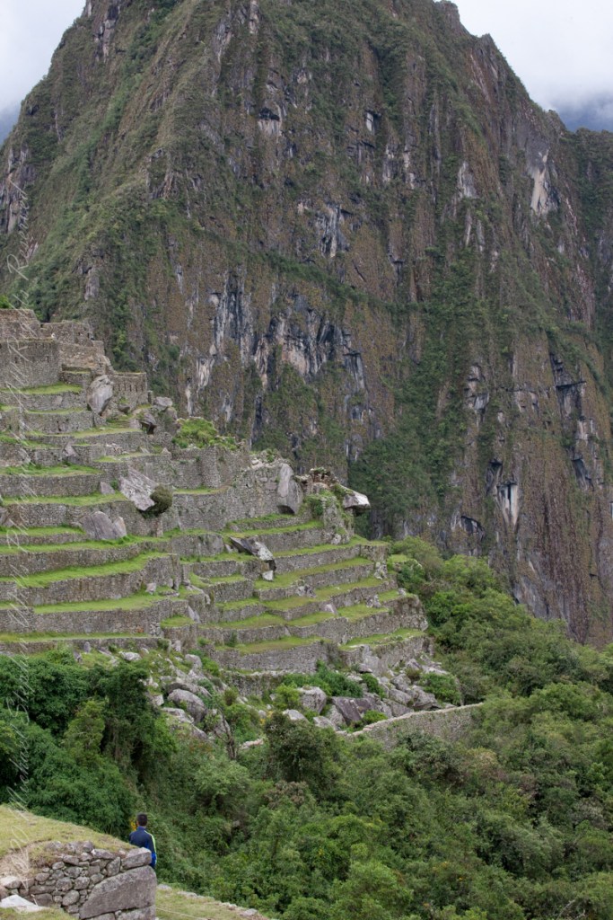
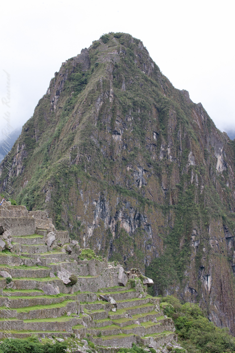
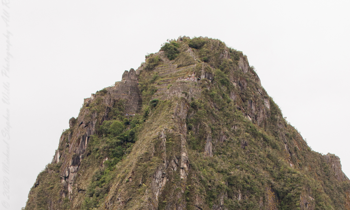
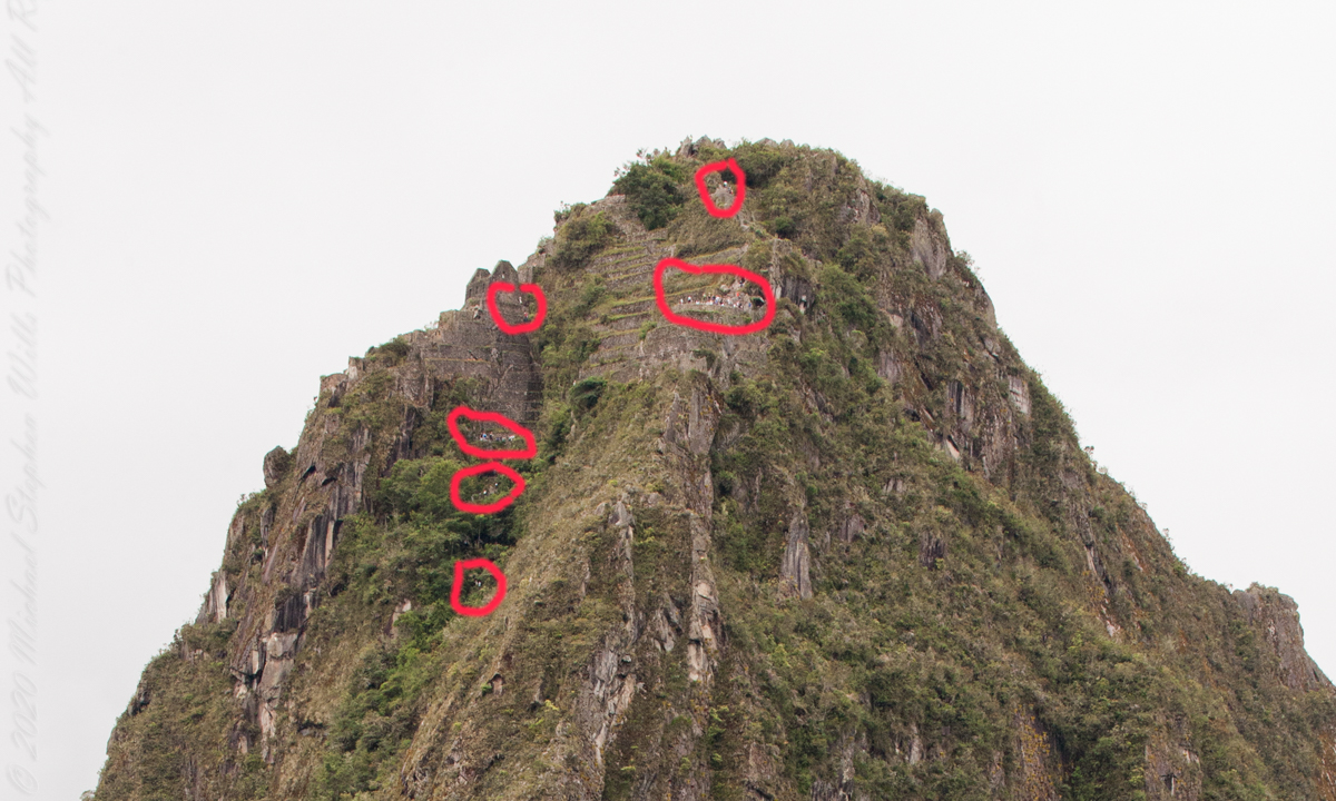
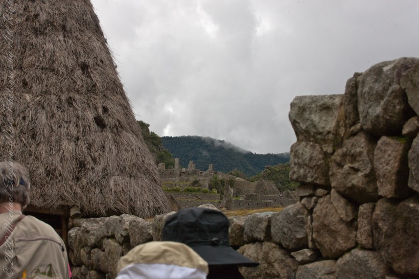
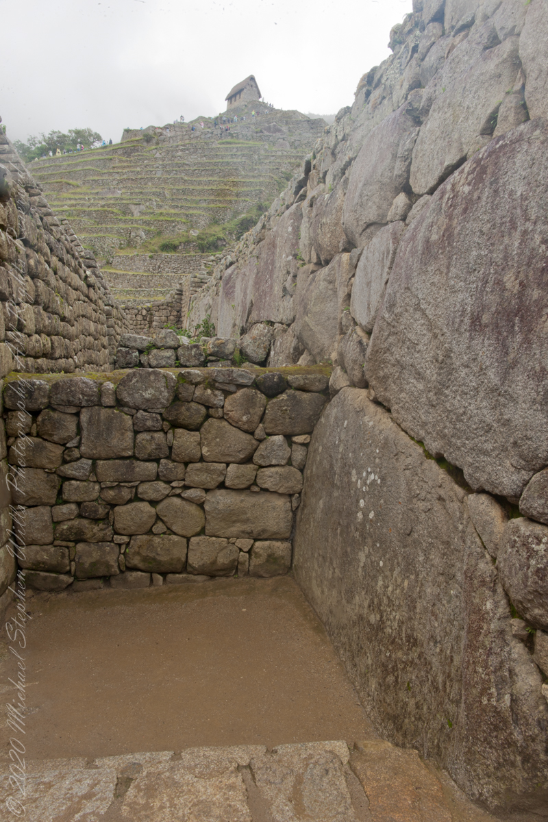
You can tell we are climbing from the angle of the guardhouse.
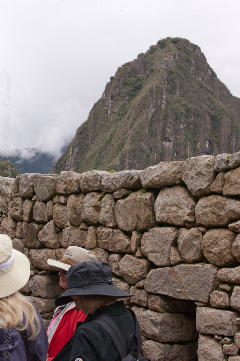
“The site itself may have been intentionally built on fault lines to afford better drainage and a ready supply of fractured stone. ‘Machu Picchu clearly shows us that the Incan civilization was an empire of fractured rocks‘”.

“The section of the mountain where Machu Picchu was built provided various challenges that the Incas solved with local materials. One issue was the seismic activity due to two fault lines. It made mortar and similar building methods nearly useless. Instead, the Inca mined stones from the quarry at the site, lined them up and shaped them to fit together perfectly, stabilizing the structures. Inca walls have many stabilizing features: doors and windows are trapezoidal, narrowing from bottom to top; corners usually are rounded; inside corners often incline slightly into the rooms, and outside corners were often tied together by “L”-shaped blocks; walls are offset slightly from row to row rather than rising straight from bottom to top.“
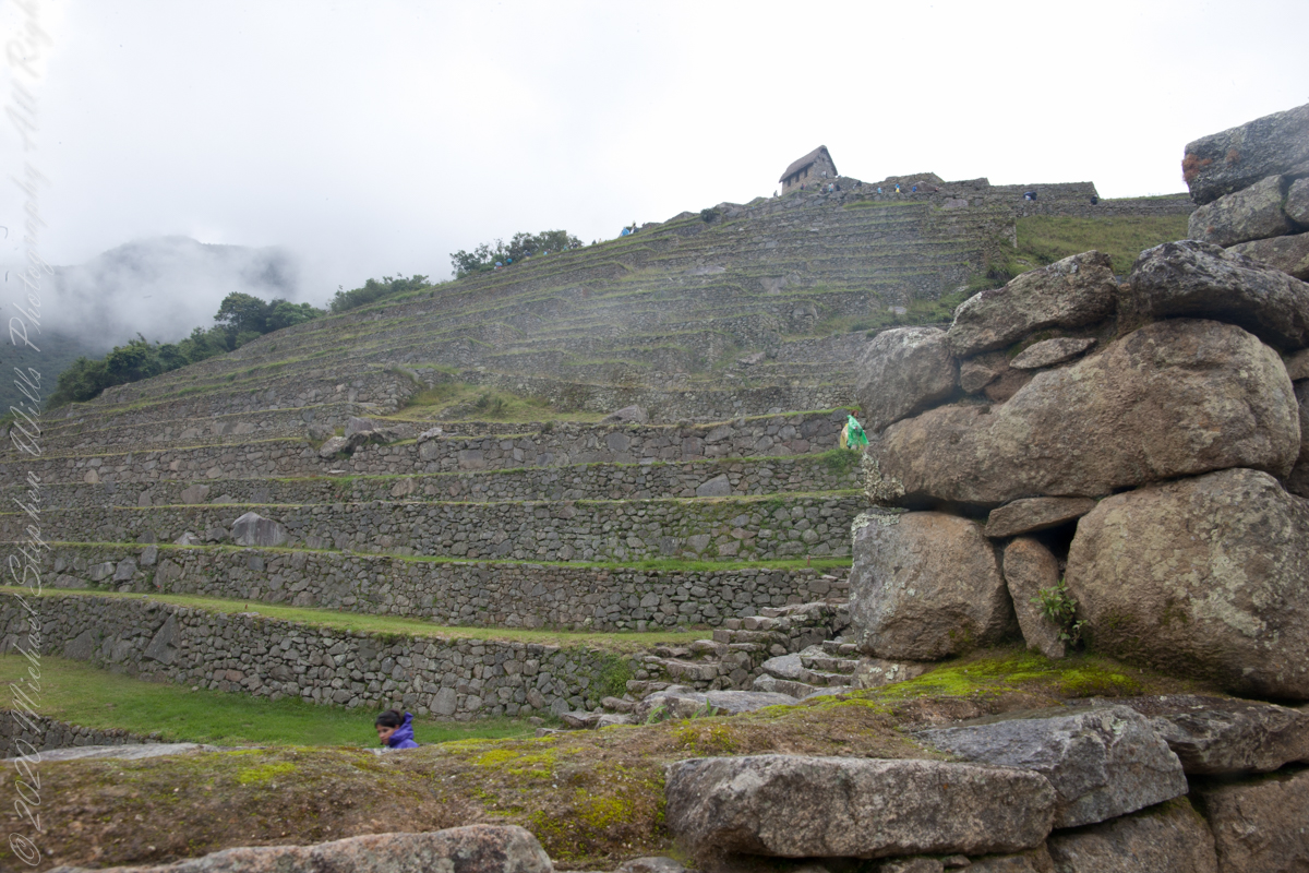
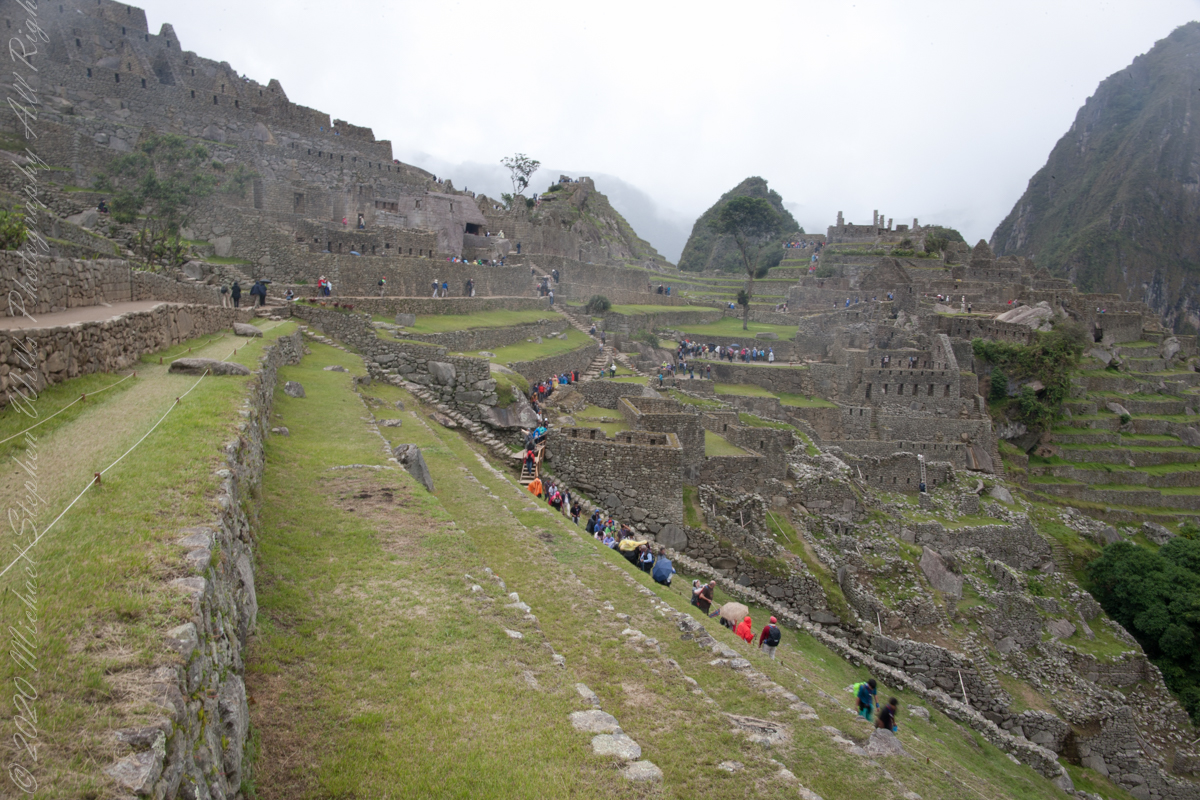
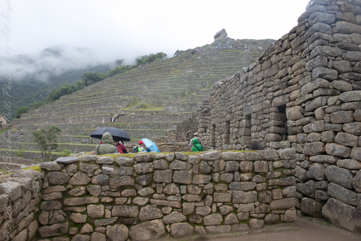
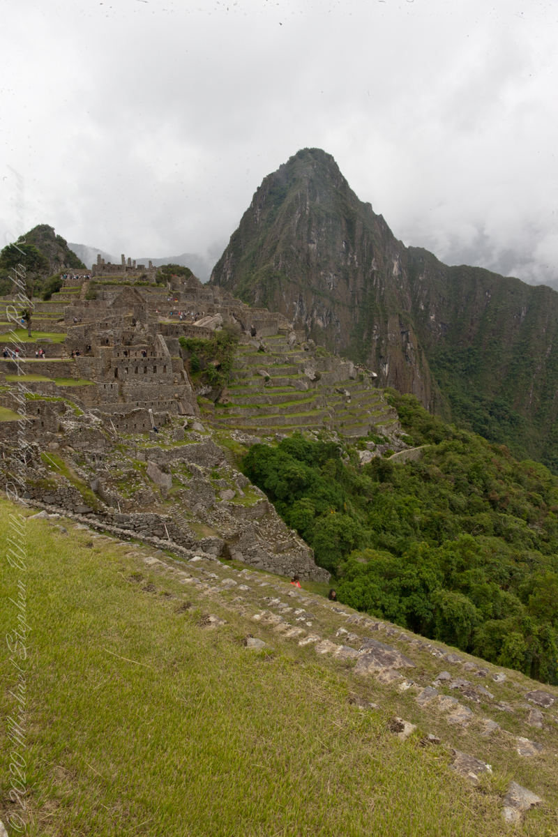
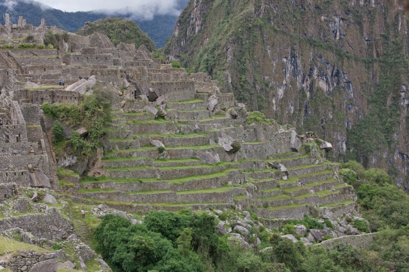
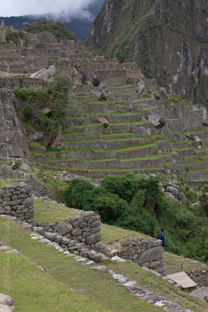
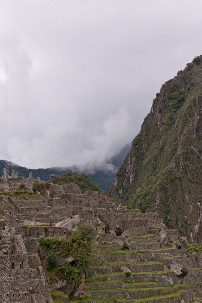
“Heavy rainfall required terraces and stone chips to drain rainwater and prevent mudslides, landslides, erosion, and flooding. Terraces were layered with stone chips, sand, dirt, and topsoil, to absorb water and prevent it from running down the mountain. Similar layering protected the large city center from flooding.[106] Multiple canals and reserves throughout the city provided water that could be supplied to the terraces for irrigation and to prevent erosion and flooding.”
“The Incas never used wheels in a practical way, although their use in toys shows that they knew the principle. The use of wheels in engineering may have been limited due to the lack of strong draft animals, combined with steep terrain and dense vegetation. The approach to moving and placing the enormous stones remains uncertain, probably involving hundreds of men to push the stones up inclines. A few stones have knobs that could have been used to lever them into position; the knobs were generally sanded away, with a few overlooked.”

Click Me for the next Chapter, “Central Square.”
Reference: text in italics and quotes is from the Wikipedia “Machu Picchu.: