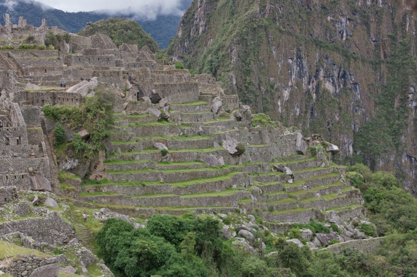
These agricultural terraces, built in the 15th century, were still in limited use by local farmers when Bingham arrived in the early 20th century.
These terraces were a work of considerable engineering, built to ensure good drainage and soil fertility while also protecting the mountain itself from erosion and landslides. Modern soil studies reveal the major crops were corn and potatoes. These terraces are below the districts named “Industrial Zone” and “Factory Houses.” A cliff of Huayna Picchu is in the background.
This photograph demonstrates either repair of or adaptation to landslides.
Copyright 2023 Michael Stephen Wills All Rights Reserved
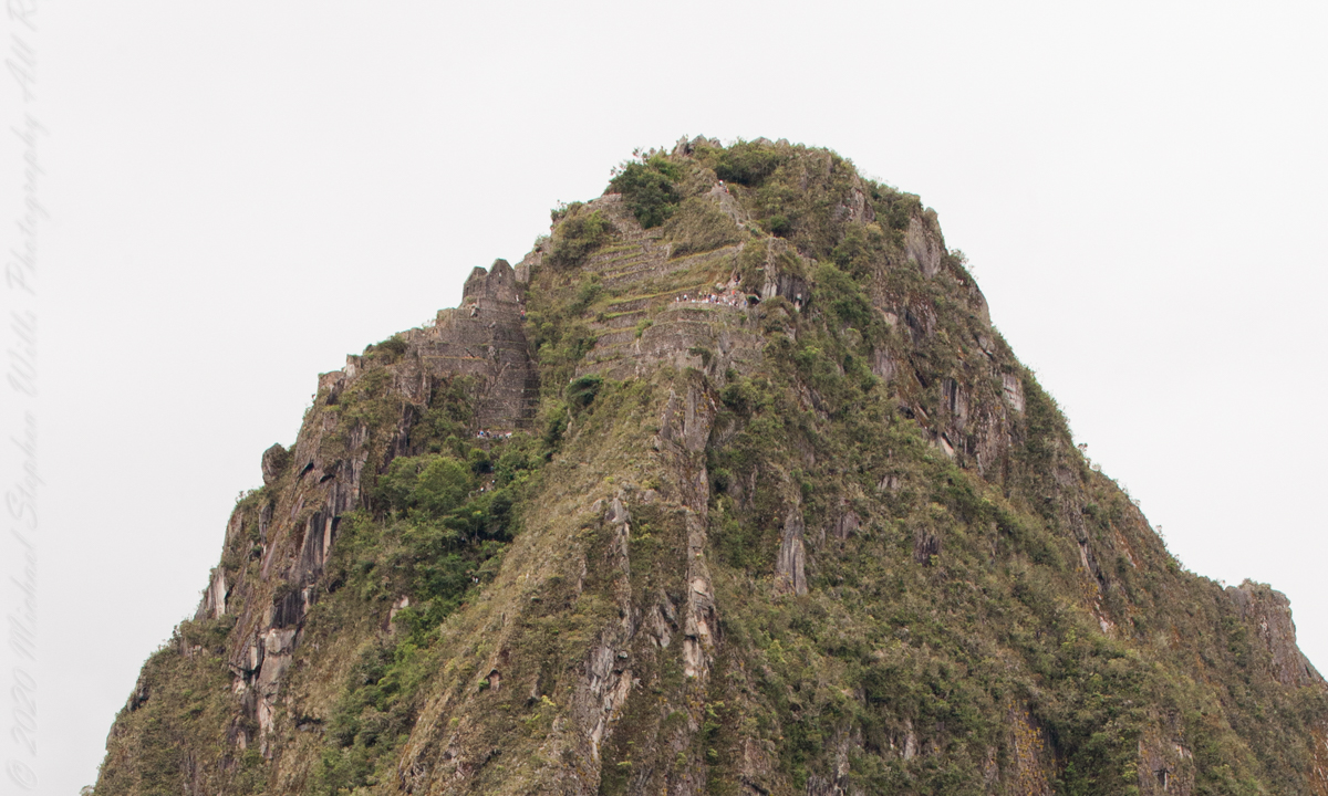
I set up a Manfrotto BeFree tripod with the Canon EOS 1DS Mark III mounted with the Canon EF 70-300 f/4-5.6 L IS USM lens. The lens is fast enough for the clear images from the train. Here, stabilized on a tripod, we can see tourists climbing and gathering on the peak as well as the terraces and ruins on top.
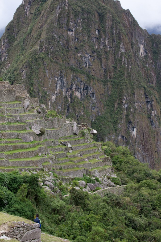
“Huayna Picchu, Quechua: Wayna Pikchu, is a mountain in Peru around which the Urubamba River bends. It is located in the Cusco Region, Urubamba Province, Machupicchu District. It rises over Machu Picchu, the so-called lost city of the Incas. The Incas built a trail up the side of the Huayna Picchu and built temples and terraces on its top. The peak of Huayna Picchu is 2,693 meters (8,835 ft) above sea level, or about 260 meters (850 ft) higher than Machu Picchu.”
“According to local guides, the top of the mountain was the residence for the high priest and the local virgins. Every morning before sunrise, the high priest with a small group would walk to Machu Picchu to signal the coming of the new day. The Temple of the Moon, one of the three major temples in the Machu Picchu area, is nestled on the side of the mountain and is situated at an elevation lower than Machu Picchu. Adjacent to the Temple of the Moon is the Great Cavern, another sacred temple with fine masonry. The other major local temples in Machu Picchu are the Temple of the Condor, Temple of Three Windows, Principal Temple, “Unfinished Temple”, and the Temple of the Sun, also called the Torreon.“
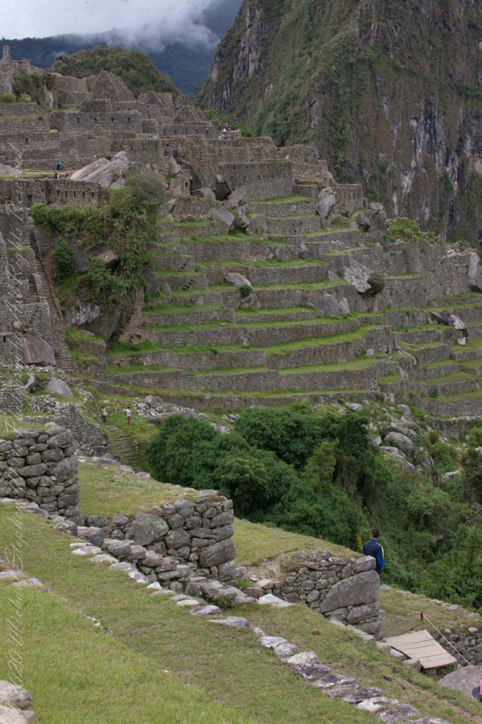
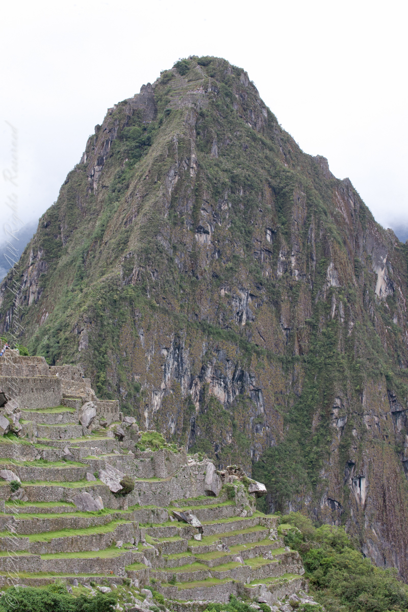
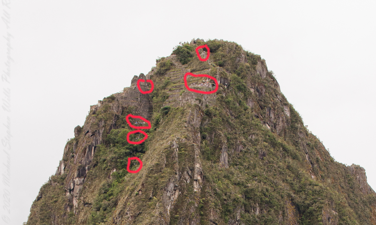
Terraces are salient, to left of peak is a roofless, gabled ruin. Look carefully to find climbing tourists and groups on terraces. Huayna Picchu
“Its name is Hispanicized, possibly from the Quechua, alternative spelling Wayna Pikchu; wayna young, young man, pikchu pyramid, mountain or prominence with a broad base which ends in sharp peaks, “young peak”. The current Quechua orthography used by the Ministerio de Cultura is Waynapicchu and Machupicchu.”
Terraces are salient, to left of peak is a roofless, gabled ruin. Look carefully to find climbing tourists and groups on terraces. Huayna Picchu.
Reference: Wikipedia “Huayna Picchu.”
Copyright 2023 Michael Stephen Wills All Rights Reserved
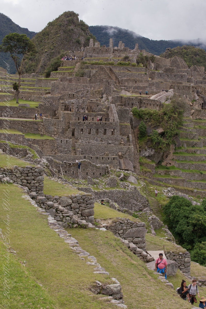
The wall with six rectangular windows is part of the “Prison Group”, a labyrinthine complex of cells, niches and passageways, positioned both under and above the ground. A portion of agricultural terraces is to the right and foreground. Look closely to see a group of tourists in the “Industrial Zone” district.
Copyright 2023 Michael Stephen Wills All Rights Reserved
These agricultural terraces, built in the 15th century, were still in limited use by local farmers when Bingham arrived in the early 20th century. These terraces were a work of considerable engineering, built to ensure good drainage and soil fertility while also protecting the mountain itself from erosion and landslides. Modern soil studies reveal the major crops were corn and potatoes. These terraces are below the districts named “Industrial Zone” and “Factory Houses.” A cliff of Huayna Picchu is in the background.
Copyright 2023 Michael Stephen Wills All Rights Reserved
On our way to the Urban Sector of Machu Picchu I capture the peak of Huayna Picchu above a rough stone wall. “Huayna Picchu, Quechua: Wayna Pikchu, is a mountain in Peru around which the Urubamba River bends. It is located in the Cusco Region, Urubamba Province, Machupicchu District. It rises over Machu Picchu, the so-called lost city of the Incas. The Incas built a trail up the side of the Huayna Picchu and built temples and terraces on its top. The peak of Huayna Picchu is 2,693 meters (8,835 ft) above sea level, or about 260 meters (850 ft) higher than Machu Picchu.”
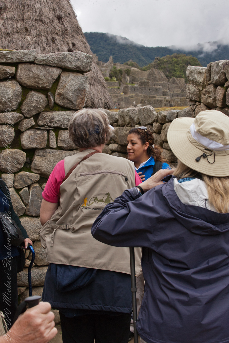
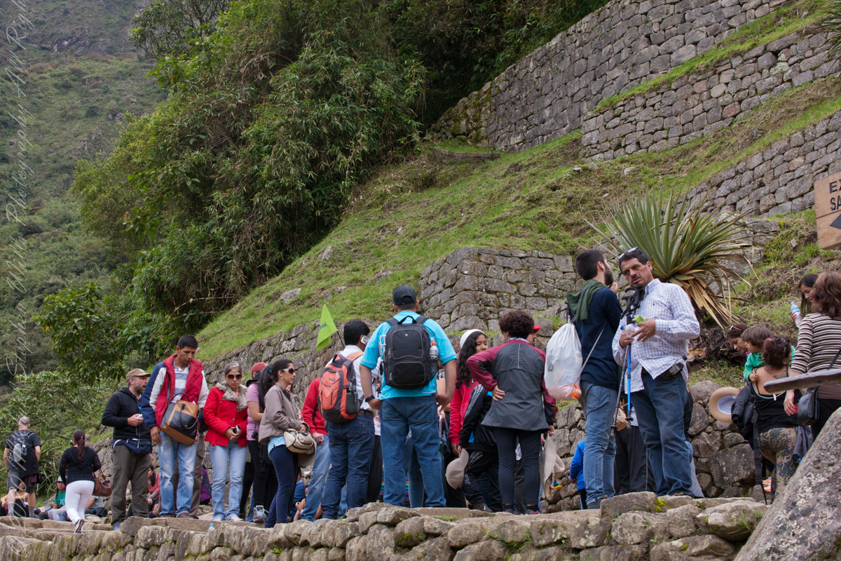
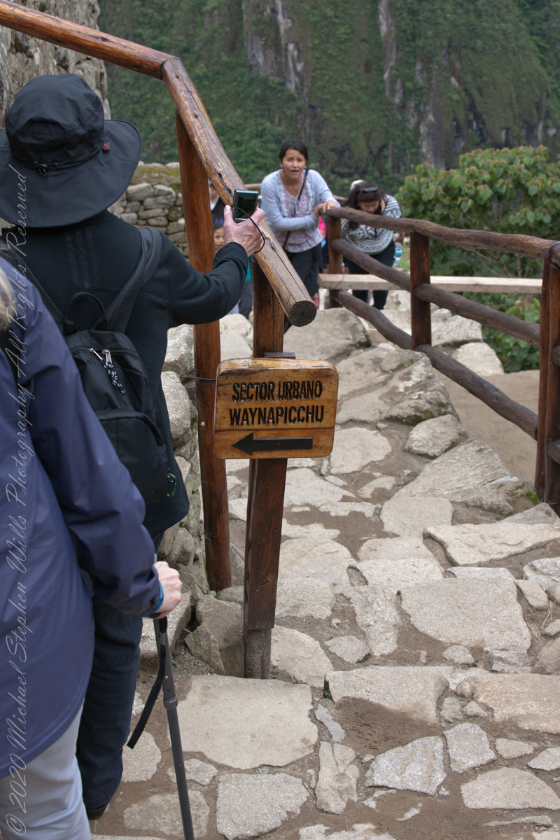
A fellow group of tourists wait for entry to the citadel
“According to local guides, the top of the mountain was the residence for the high priest and the local virgins. Every morning before sunrise, the high priest with a small group would walk to Machu Picchu to signal the coming of the new day. The Temple of the Moon, one of the three major temples in the Machu Picchu area, is nestled on the side of the mountain and is situated at an elevation lower than Machu Picchu. Adjacent to the Temple of the Moon is the Great Cavern, another sacred temple with fine masonry. The other major local temples in Machu Picchu are the Temple of the Condor, Temple of Three Windows, Principal Temple, “Unfinished Temple”, and the Temple of the Sun, also called the Torreon.“
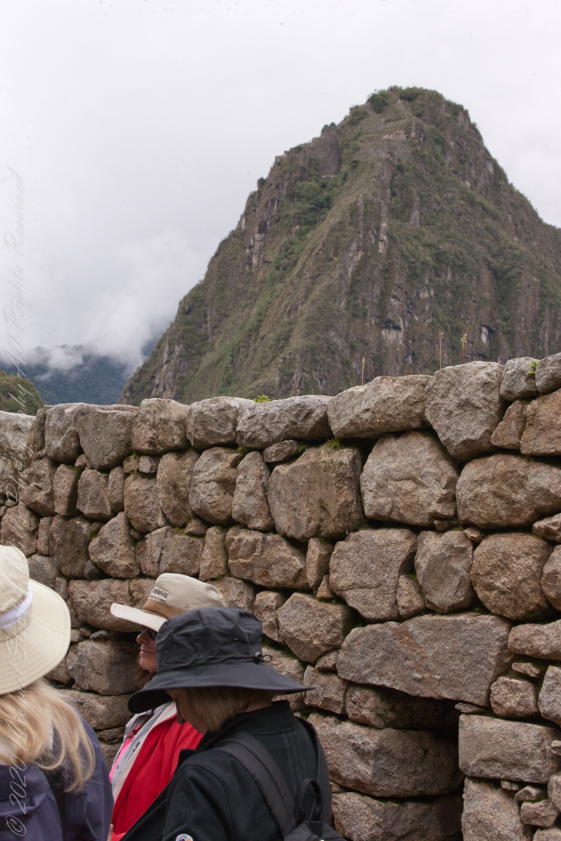
The end of a long climb
“Its name is Hispanicized, possibly from the Quechua, alternative spelling Wayna Pikchu; wayna young, young man, pikchu pyramid, mountain or prominence with a broad base which ends in sharp peaks, “young peak”. The current Quechua orthography used by the Ministerio de Cultura is Waynapicchu and Machupicchu.”
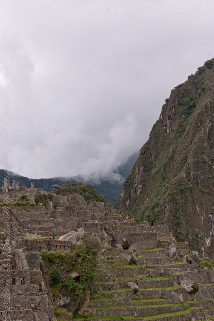
“Young Peak” rises above the “Lost City of the Incas.”
Reference: Wikipedia “Huayna Picchu.”
Copyright 2023 Michael Stephen Wills All Rights Reserved
We enter Machu Picchu Sanctuary from the trail leading from Intipunku (the Sun Gate), which nowadays is the finish of the classic 4 days Inca Trail hike. There is also an entrance from the west from Vilcabamba.
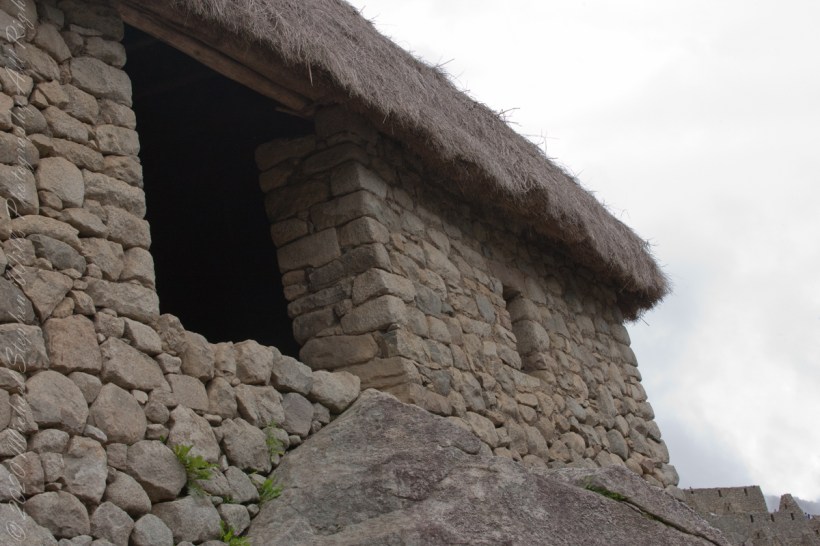
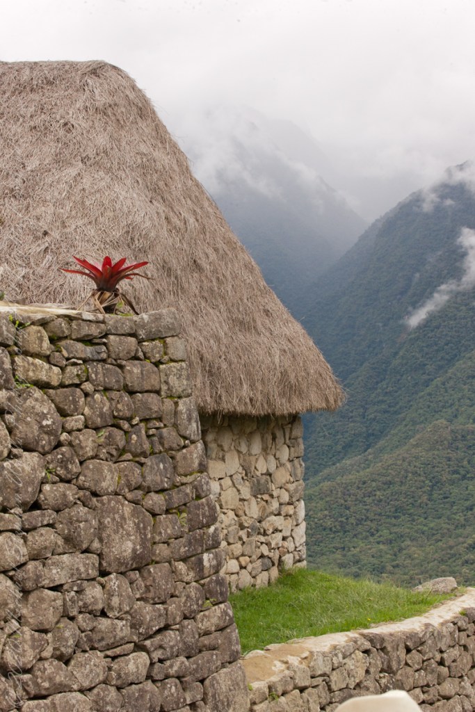
The Guardhouse also known as the Caretakers Hut was a thatched roofed building constructed from crude stones and featured 3 walls and one open long side. The Guardhouse was a building used by soldiers who guarded two main entrances to Machu Picchu.
Below the Guardhouse are three thatch-roofed stone huts, the entrance trail passed beneath the lowest, shown here. A cliff of Huayna Picchu forms the background.
The Guardhouse is one of the first attractions on the upper tourist circuit around Machu Picchu. From its commanding high position in the south of the citadel, it is one of the best places for panoramic views of Machu Picchu, Huayna Picchu and surrounding mountains. On the stretcher descending the steps below the Caretaker’s Hut is a woman who collapsed during the tour. In attendance is her family and medical personnel.
Touring the site requires some stamina and care, there are many steep stone stairs to negotiate at approximate 8,000-foot altitude.
This is another view of the lowest stone hut with Urubamba River valley in background. We visited during rainy season and were well equipped with raincoats and umbrellas. By way of orientation, the red bromeliad in in the first photograph.
Copyright 2023 Michael Stephen Wills All Rights Reserved
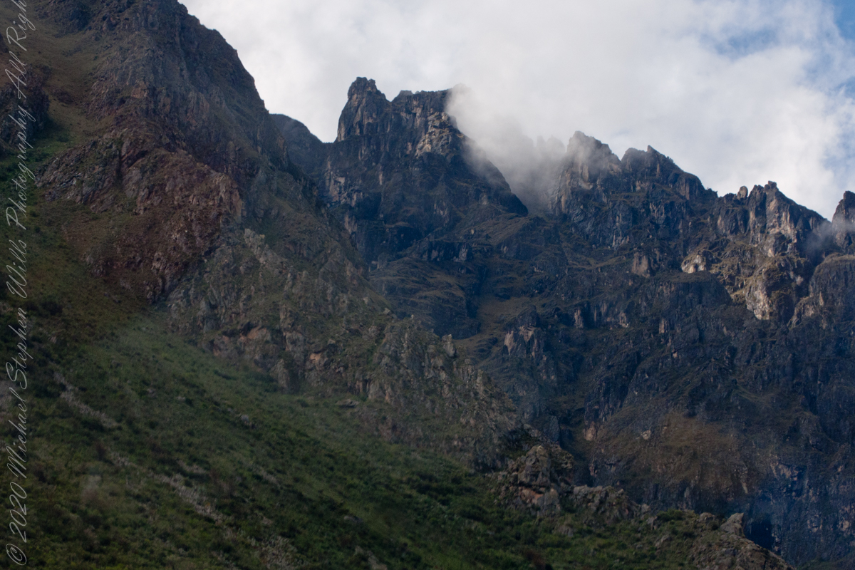
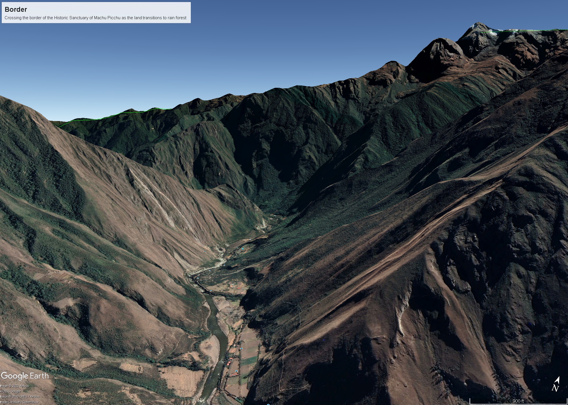
As we crossed the border of the Historic Sanctuary of Machu Picchu the valley walls rose steeply on either side, the land transitioning to rain forest.
Google Earth We approach the border of the Historic Sanctuary of Machu Picchu
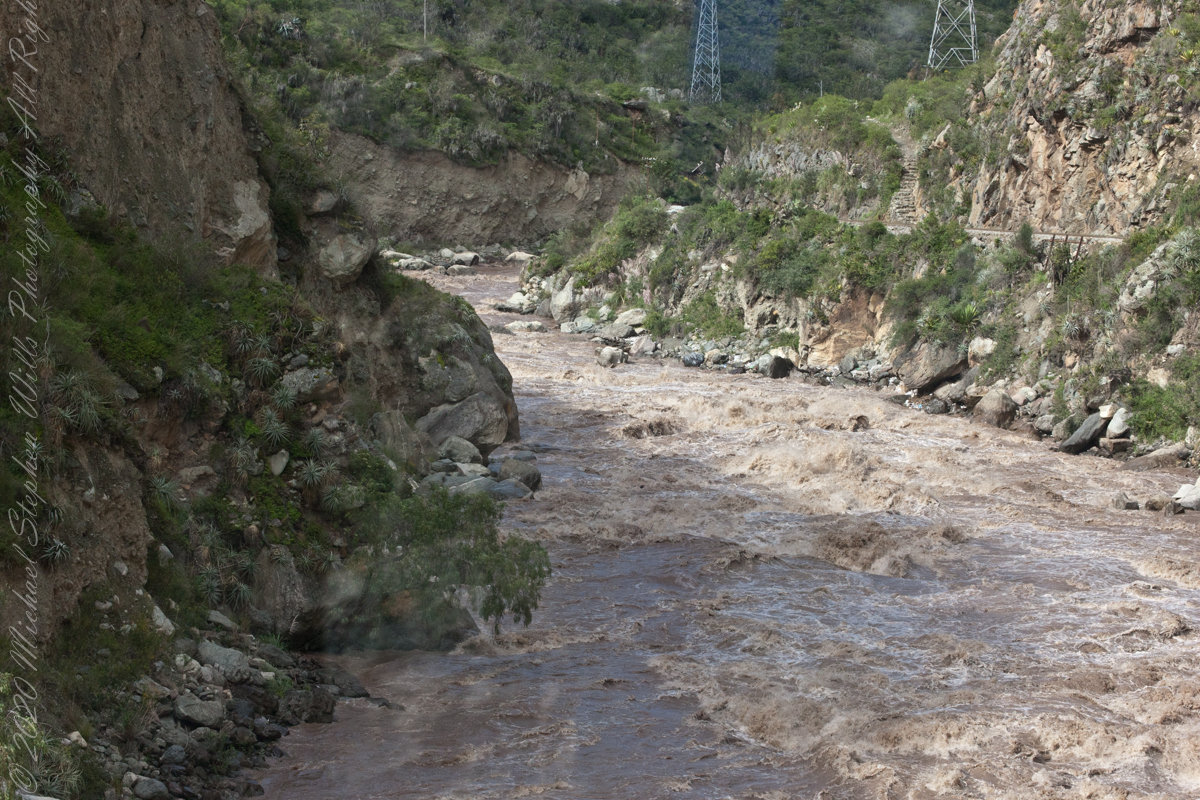
We entered a short tunnel through a mountain ridge, providing us this close view of the Urubamba River.
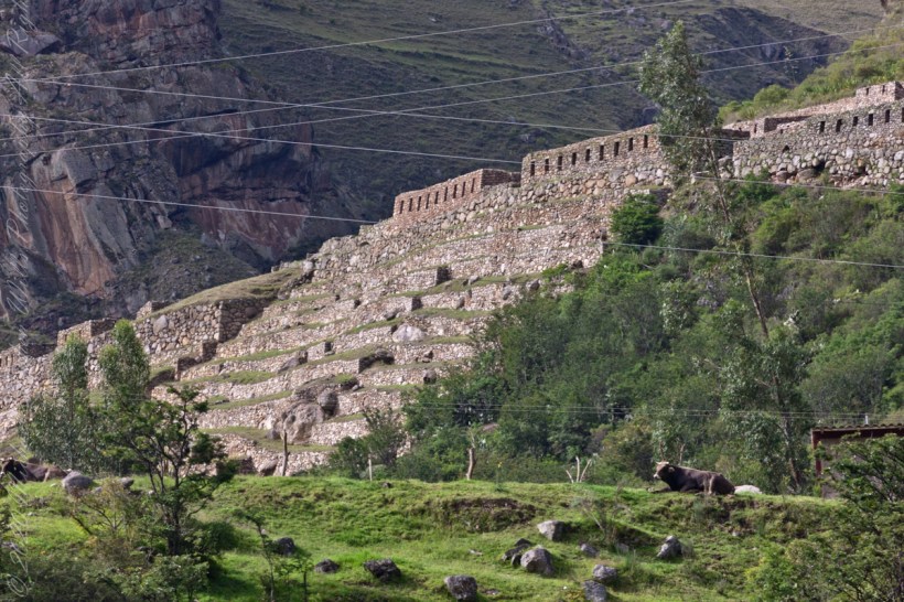
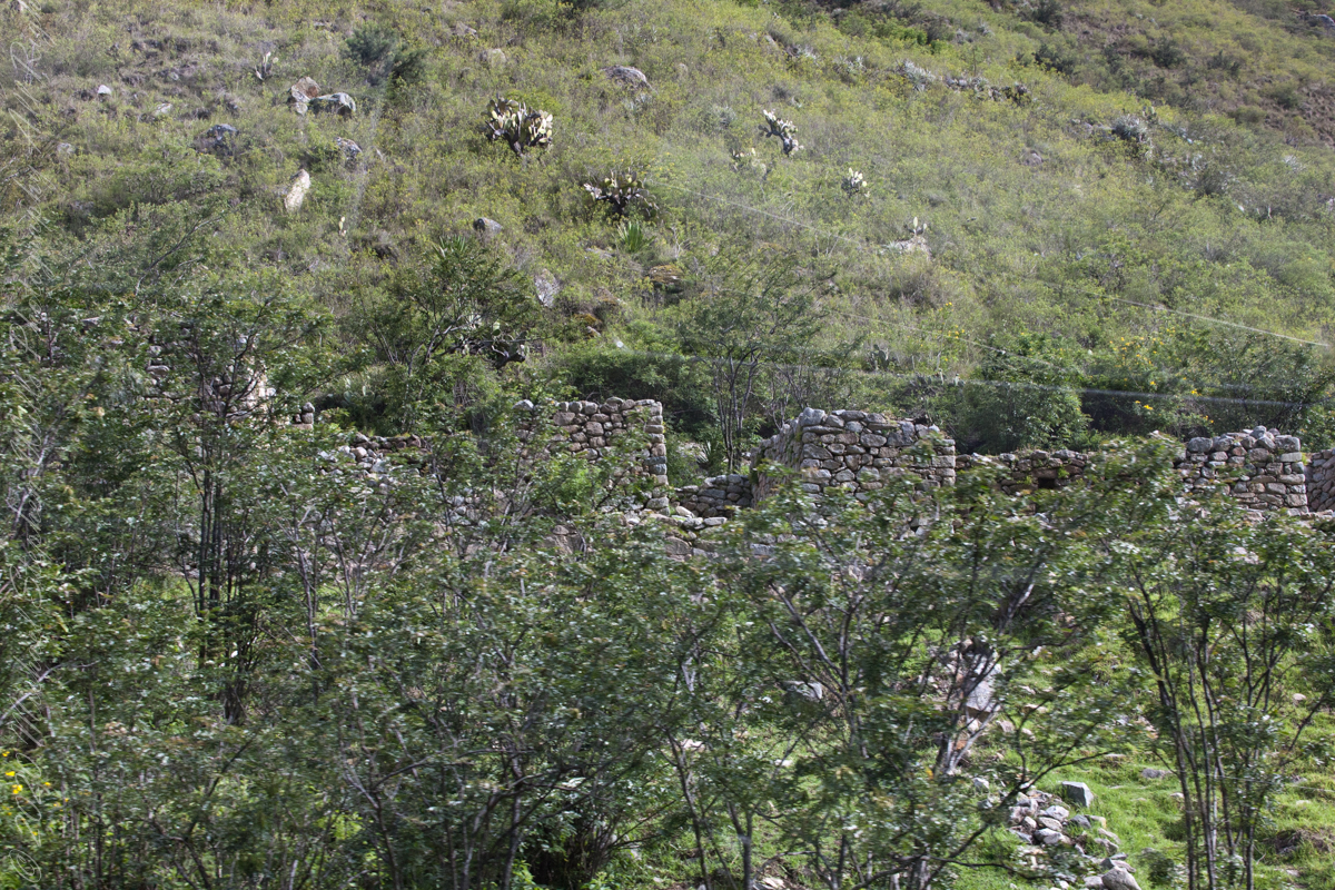
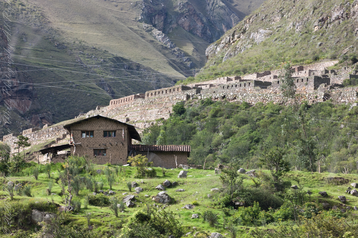
Next we came upon the Toronto Ruins.
The Toronto complex includes seven (7) archaeological groups and is in front of the Q’ente Complex, separated only by the Urubamba River, possibly they were independent chiefdoms with a strong economic bond.
The seven (7) archaeological groups are Torontoy: The local farmers call it Inkaperqa or Inca raqay, alluding to what they see. In this place we can find a main doorway, several groups of enclosures, patios or free areas separating the buildings, vestiges of a liturgical bath and a central enclosure with a lithic piece of more than 40 angles that joins other twenty-eight pieces with exact interlocking in the joints.
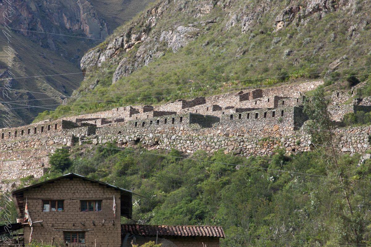
Salapunku: means hall door in the Inca language, because what is most obvious is a wide door that is on a platform that runs as a street in front of the wall. Behind the door we find cyclopean platforms and plains with remains of stairways, interior roads and remains of aqueducts. Qhanabamba translates to pampa where the grass “qhana” grows. It is at the height of Km. 85 of the railroad line. We can find a series of one-story buildings and a two-story building which is the largest. Wayrajpunku: meaning windy door (alluding to a windy place). In this group we find remains of buildings and a partially standing enclosure, there are vestiges of aqueducts, paths and overcrowding of canted stones that were part of constructions.
Pincha Unuyuj: Here were made the best hydraulic works of the zone, the crystalline waters that descend, appear channeled by wide lithic channels; also we find from the bank of the river a succession of parallel platforms, a road that leads to an adoratory carved in the rock insitu, ascending some houses and an observation tower. Qoriwayrachina It means gold winnowing. We can find the following: A huge staircase with more than one meter wide, semicircular ramparts, platforms as retaining walls and a vertical slope worked that is on the turbulent waters of the river.
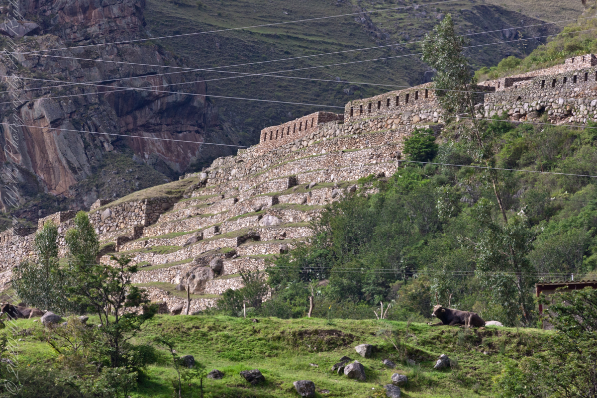
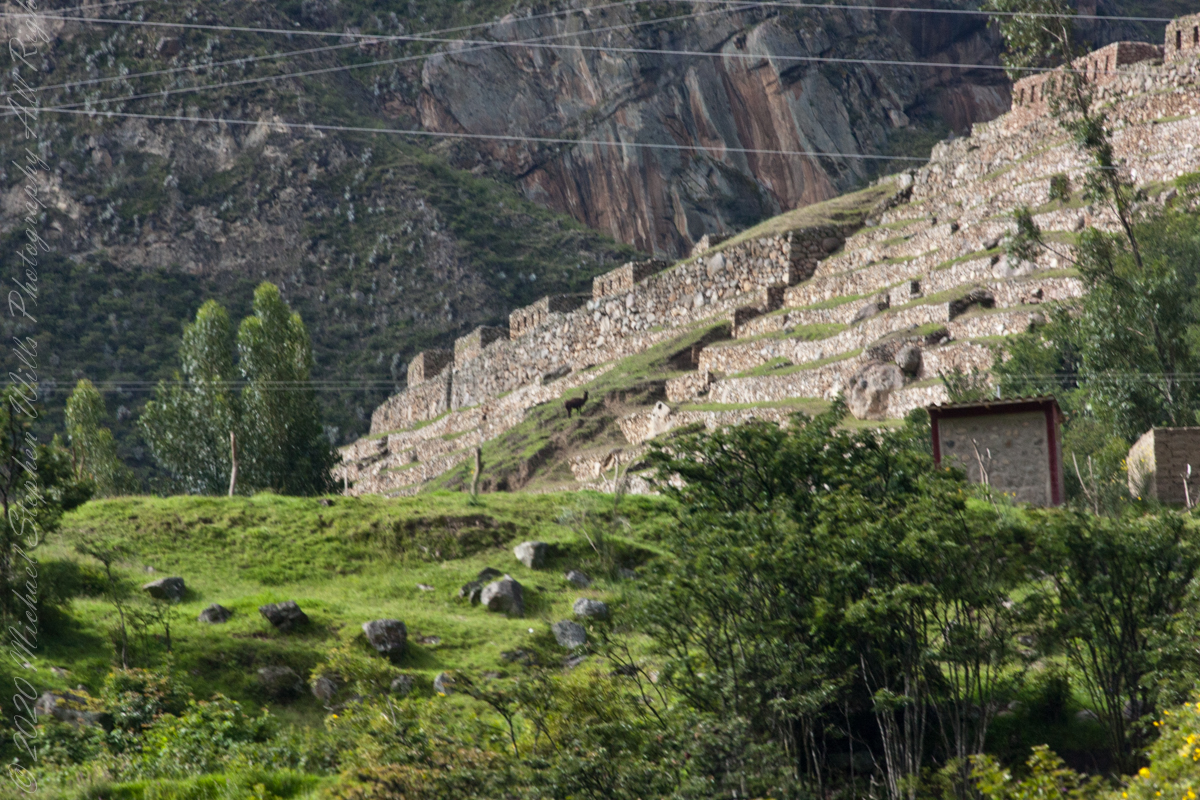
Retamayuj, having a broom, in this group we can find long platforms with semi-cyclopean walls, tombs that are desecrated at the base of the mountain and others intact. In 2008 A team from Peru’s National Institute of Culture (INC) working on the ruins of Torontoy in the Historic Sanctuary of Machu Picchu, discovered the tomb of an Inca with full funerary regalia. The gender and age of the tomb’s owner has not yet been determined but found with the body were a number of decorated ceramics and two pins.
Copyright 2023 Michael Stephen Wills All Rights Reserved