“When George J. Roskruge created the official map of Pima County in 1893, he named the range after James Quinlin, who had opened a stagecoach station in the nearby town of Quinlin in 1884.” — Wikipedia article for “Quinlan Mountains.”
Kitt Peak is the highest point of the Quinlan Mountains, one of a series of ranges starting near the border with Mexico, the Baboquivari Mountains. Pan Tak pass separates Coyote Mountains from the Quinlans. Farther north there is even the Roskruge Mountains and a range named for a silver mine, the Silver Bells. Roskruge originally named “Kit’s Peak” for his sister, Phillippa, married to William F. Kitt. The peak was renamed to Kitt Peak William’s request.
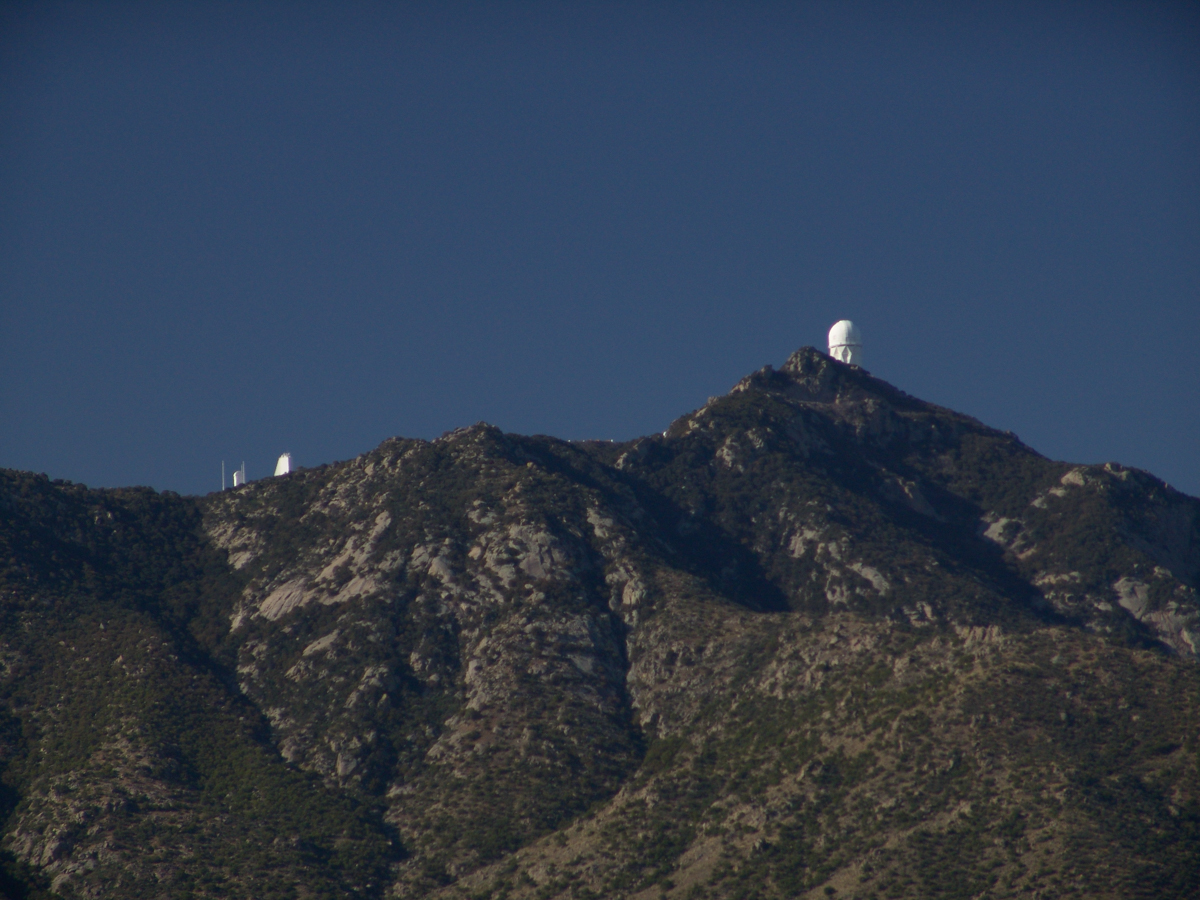
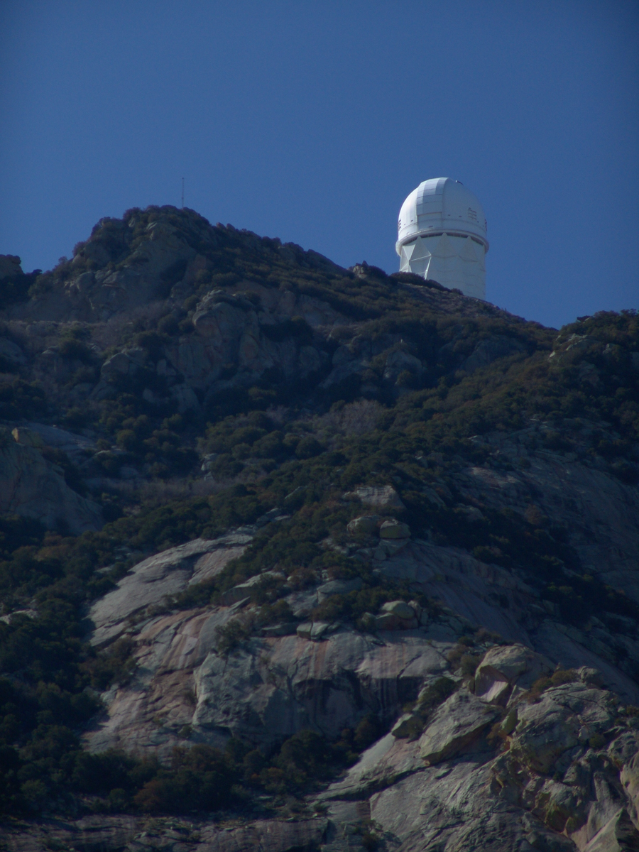
Here we see a dramatic view of Quinlan Ridge with Kitt Peak observatories, taken from the access road Arizona Routh 386. The instruments I recognize are, from left to right, McMath-Pierce Solar Telescope (second in line) and, on the end, Mayall Telescope.

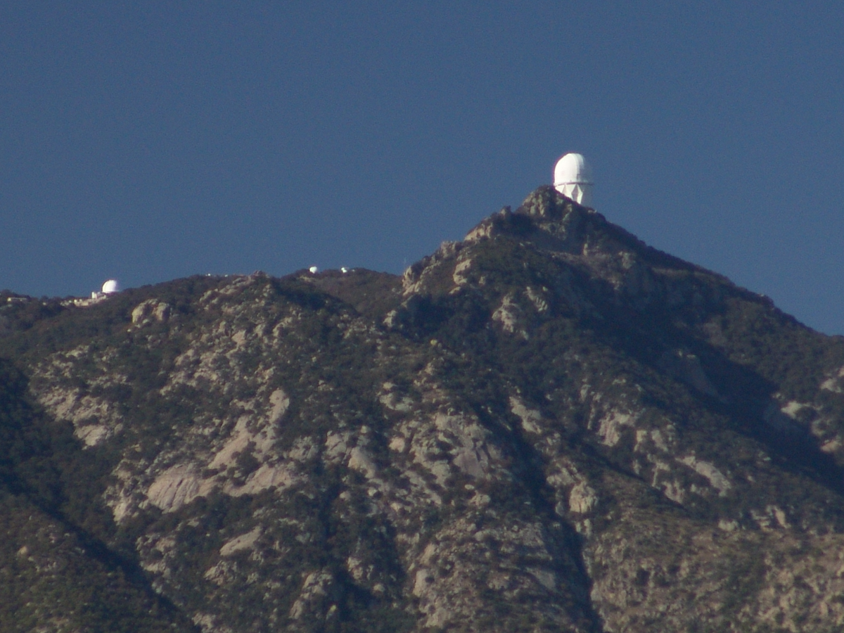
And more views as I progressed toward the top.
The dramatic peaks are hypothesized to be igneous intrusions into metamorphic rock, these are called “Sky Islands” for the environments supported on them, radically different from surrounding lowlands. Kitt Peak is known for the stands of Manzanita Bushes


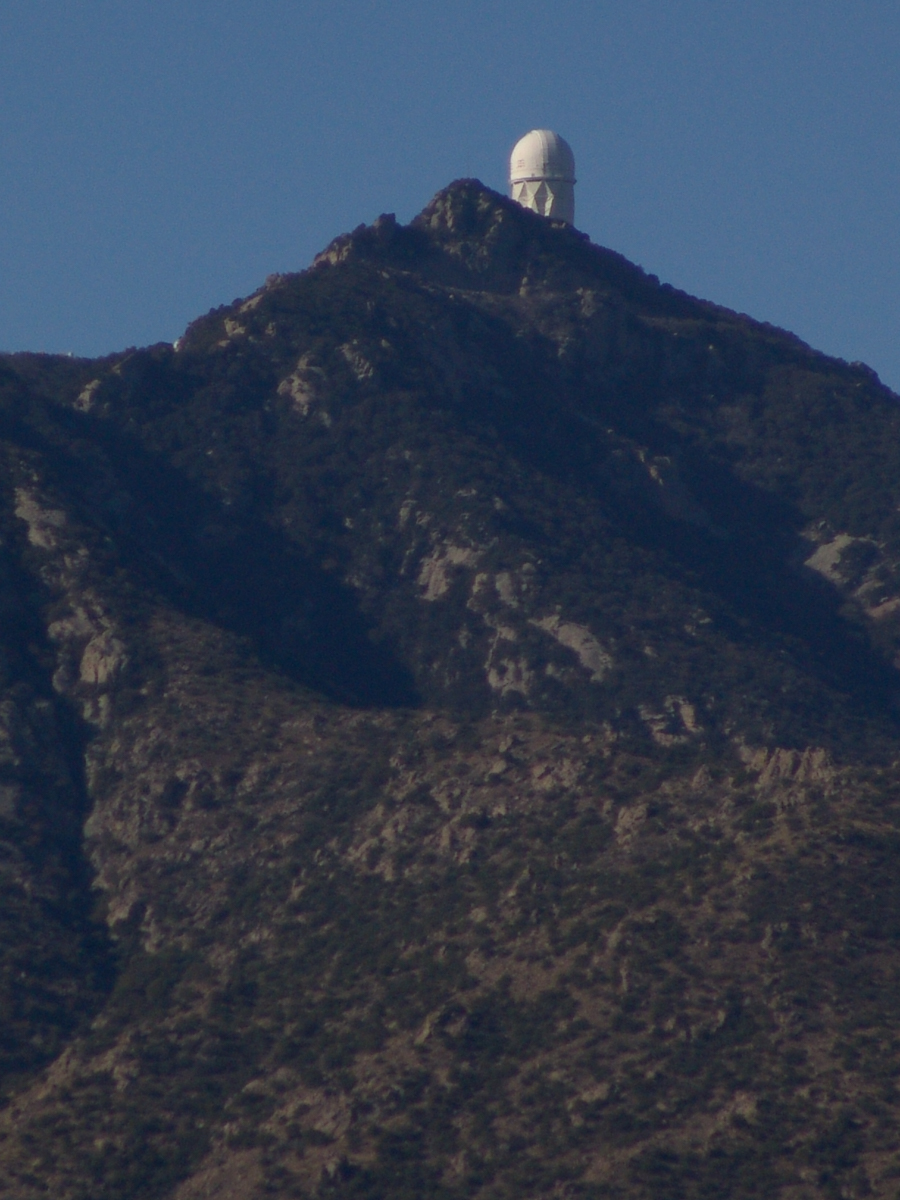
Dramatic shots.
LikeLiked by 1 person
Thank You, Peggy
LikeLike
Very interesting history and incredible views!!
LikeLiked by 1 person
Driving up these Sky Islands is a memorable experience. The General Hitchcock/Catalina Highway is another spectacular drive: from the foothills to the top of the Santa Catalina mountains.
LikeLiked by 2 people
Mayall Telescope and Manzanita flowers! It’s amazing that one could drive up to see them.
LikeLiked by 1 person
It is a strange world, so different from the Northeast.
LikeLike
The sky looks brilliant! Michael, thanks for adding some historical details.
LikeLiked by 1 person
my pleasure, bigskybuckeye
LikeLike