This the fifth and final of a series of landscape photographs taken from this position.
Click photograph for a larger view. To do this from WordPress Reader, you need to first click the title of this post to open a new page.

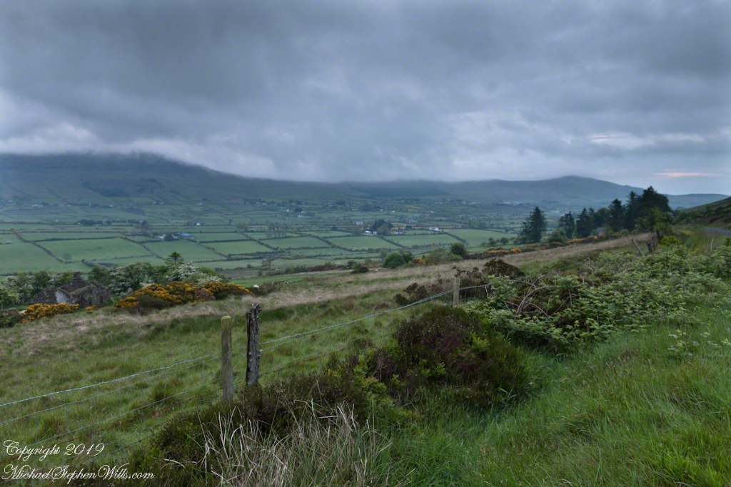
The peak is named, in the English language, Slievenaglogh. It is so strange as it’s not English, being instead a transliteration of the Irish name “Sliabh na gCloch.” This is “Rock Mountain” translated literally. Slievenaglogh is carried to the townland, a long thin swath of land being the peak and associated ridge-line.
The rocks up there are called “gabbro,” a type of magma slowly cooled under ground. Slievenaglog, Slieve Foy across the valley, and the Morne mountains all formed within volcano magma chamber(s) of the Paleocene, 66 million years ago, a time associated with extensive volcanism and the Cretaceous–Paleogene extinction event that gave rise to the current age.
Our younger cousin has been up there, optimistically we left it for a later trip.
Click for another interesting post and story from County Louth.
Here is a slide show of this landscape series.


Beautiful photos 🙂
LikeLiked by 1 person
Your compliment is appreciated.
LikeLiked by 1 person
Lovely and peaceful.
LikeLiked by 1 person
No one car passed during that interval and I cannot recall the sound of motors.
LikeLiked by 1 person
I think I posted a comment here, do you have any idea why it doesn’t show?
greetings from Scandinavia from Liv
LikeLiked by 1 person
On this post? This is the first comment from yourself and it was automatically approved. Good to hear from you Liv from Scandinavia.
LikeLiked by 1 person
I don’t remember for sure, perhaps another one, but on this blog
But it’s great this this seems to have come through now
I’m not so good with IT and sometimes my comments and likes don’t show on some blogs and I don’t know why
LikeLiked by 1 person
In this case, your comment was on a previous post. This is a series of the same area, so easy enough to lose track. Cheers!!
LikeLike
On sunday I wander through photography blogs with a mug of coffee.
Wonderful places depicted through lovely shots!
Dia duit,
LikeLiked by 2 people
Thank You for this most appreciated comment, walker.
LikeLike