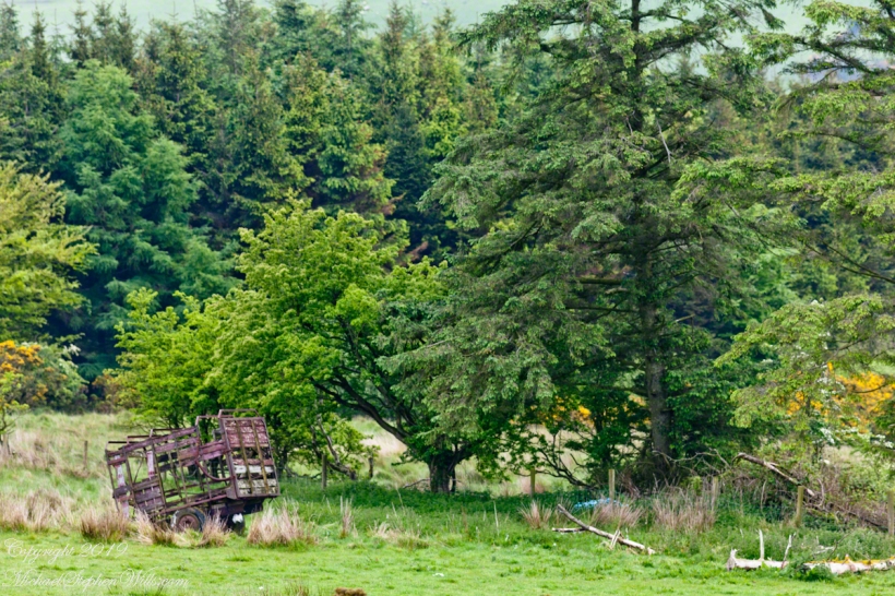
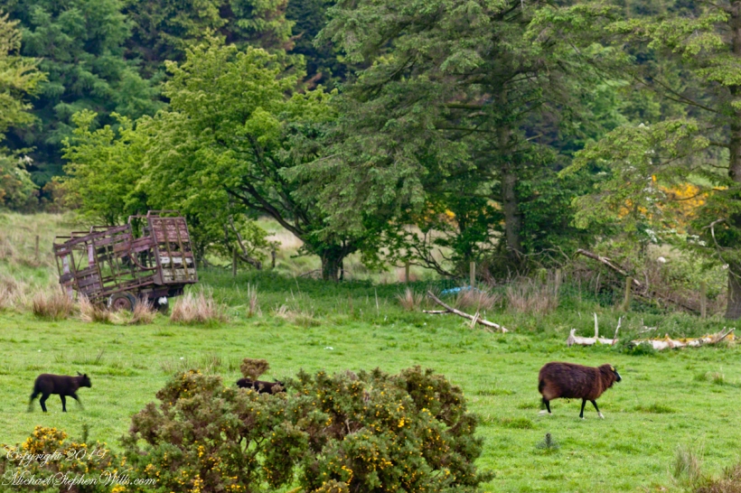
In the early dawn, I walked the path to Killen, drawn by the legacy of my mother’s Irish youth. An abandoned hay wagon stood, a relic amidst the whispers of history and myth. Join me in uncovering the roots that intertwine family and the enduring Irish land.
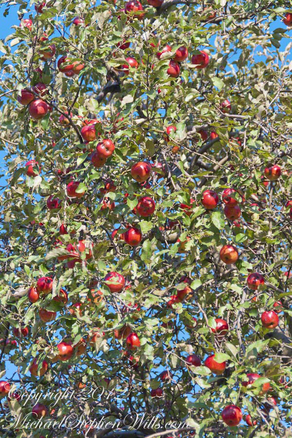
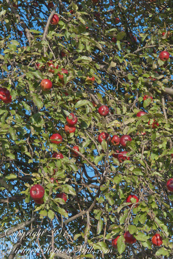
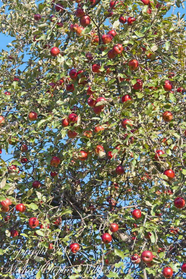
One late afternoon in early autumn, Pam and I strolled along Malloryville Road from our old home, discovering these ripe apples ready for harvest beside a barn.
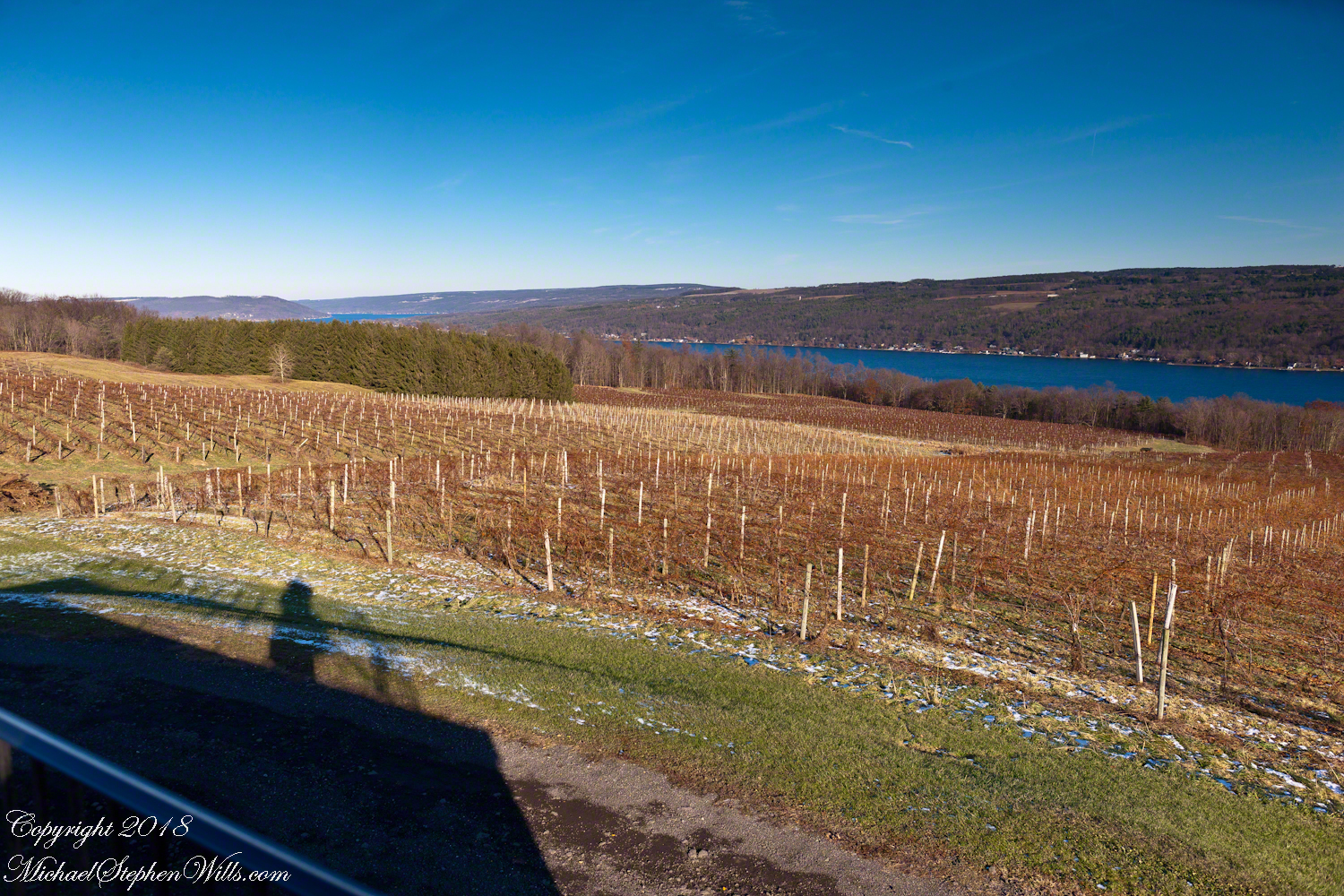
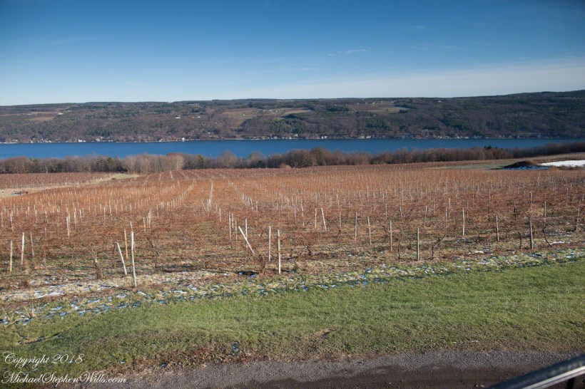
Sunday, Pam and I travelled across the peneplanes, past three Finger Lakes, to reach the Dr. Konstantin Frank winery where we subscribe to the “Wine Club,” a quarterly release of three 750 ml wines along with a newsletter with information and recipes. For 2018/2019 we elected to “pickup” our selections, looking forward to these drives through the country and villages between Ithaca and the winery perched on the west side of Keuka Lake, just below the “branch.”
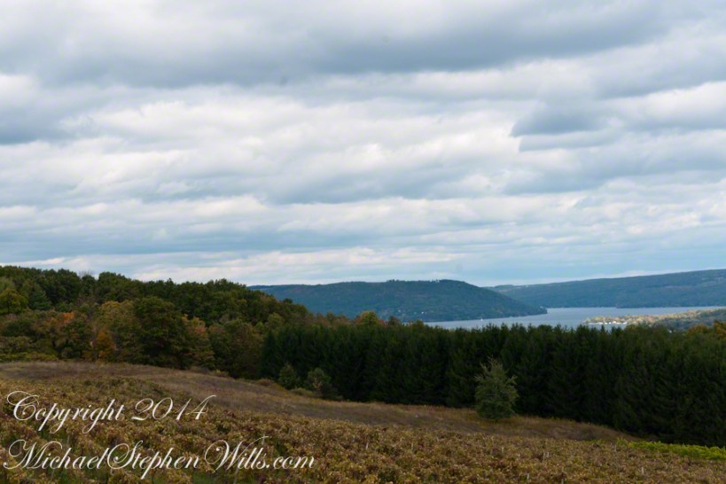
Preeviously, I posted “Glacier!!” and today there is this photograph of glacial topography 10,000+ years after the melt. Keuka Lake is shaped like a “Y” chromosome, here we are looking northeast across the “foot” of the “Y” from the west lakeside. Above the evergreens, to the left, is the headland separating the “arms” of the “Y”.
Spread out below our viewpoint are row upon row of grapevines, enjoying the microclimate surrounding the deep lake.
This the fifth and final of a series of landscape photographs taken from this position.
Click photograph for a larger view. To do this from WordPress Reader, you need to first click the title of this post to open a new page.
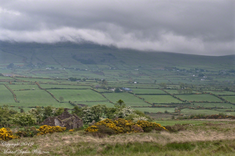
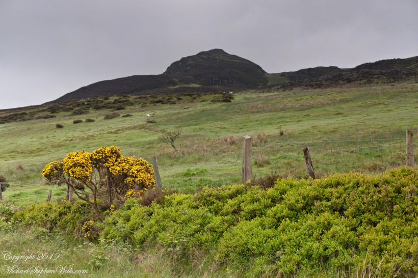
Slievenaglogh View with road, east
The peak is named, in the English language, Slievenaglogh. It is so strange as it’s not English, being instead a transliteration of the Irish name “Sliabh na gCloch.” This is “Rock Mountain” translated literally. Slievenaglogh is carried to the townland, a long thin swath of land being the peak and associated ridge-line.
The rocks up there are called “gabbro,” a type of magma slowly cooled under ground. Slievenaglog, Slieve Foy across the valley, and the Morne mountains all formed within volcano magma chamber(s) of the Paleocene, 66 million years ago, a time associated with extensive volcanism and the Cretaceous–Paleogene extinction event that gave rise to the current age.
Our younger cousin has been up there, optimistically we left it for a later trip.
Slievenaglogh View, northeastSlievenaglogh View, east northeastSlievenaglogh View, east northeastSlievenaglogh View, north northeastSlievenaglogh View with road, east
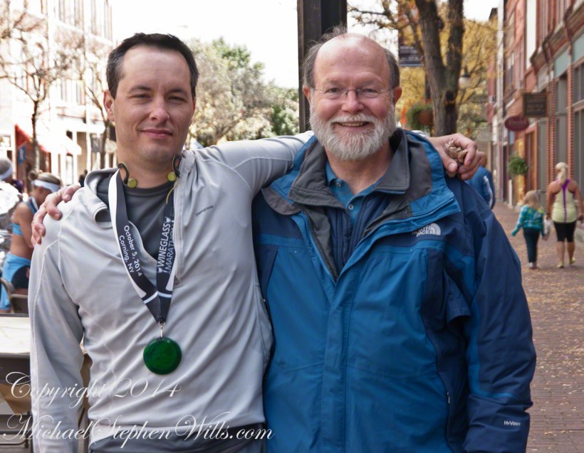
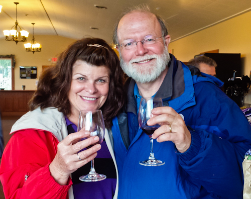
October 5, 2014 found Pam and I at Keuka Lake after my son completed the Wine Glass Marathon. Here we are at the finish line in Corning, home of the Corning Glass Factory. You may know it from your set of Correlle dinnerware.
Marathoner and his proud father
Afterwards, Pam and I made it up to the Dr. Frank Winery for a tasting followed by dinner at a local restaurant. Here is a photograph from the same viewpoint, using the “zoom” setting of my Sony DSLR A700. The view is more interesting than the winter shot of “Keuka Lake Winter I” from the autumn clouds and the burst of late day sun on the eastern lake shore.
This is the juncture of the “Y” shaped lake where the two arms joint the long foot. The pointed high headland is the point where the two arms meet. We are looking north here. The western arm, on the right, is unique in that the water is flowing down into the juncture. In Keuka Lake the water flows in two directions. The flow of lake foot and eastern arm is in the opposite direction, Keuka Lake empties at the top of the eastern arm, eventually reaching Lake Ontario.
North View from Overlook using “Zoom” lens
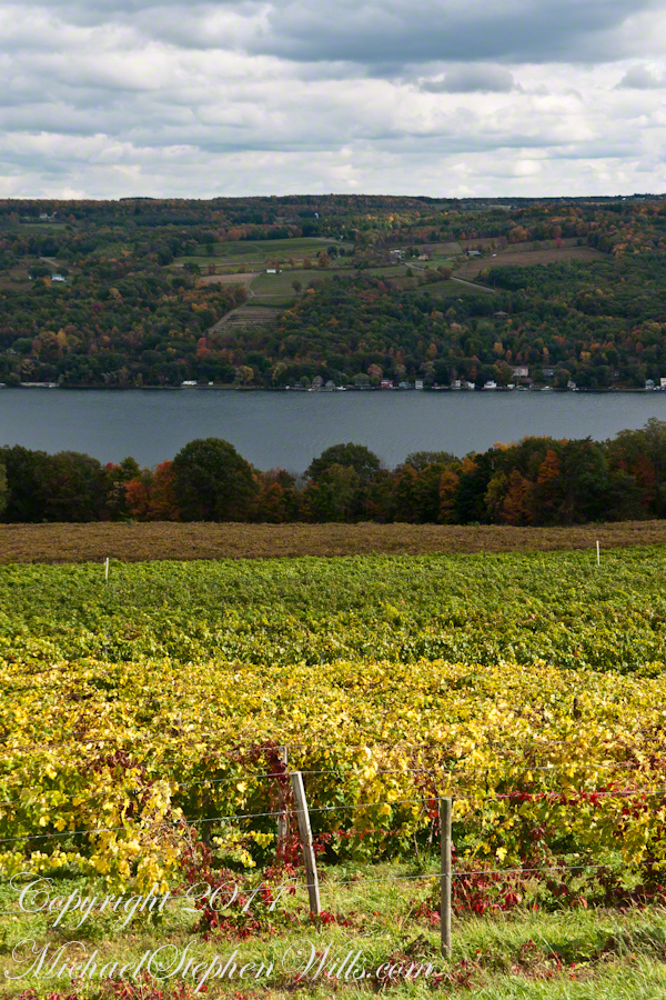
Here is the eastern view, from the overlook, looking over a vineyard ready for harvest, covered with fruit and leaves. Every once in awhile there is a loud “bang” from a noisemaker used to discourage birds from feasting on grapes. The buildings along the shore are summer cottages, Keuka is lined with them.
East View on an autumn afternoon
The same view, from our December 2018 visit. The vines are bare, the fallen leaves cleared, the vine roots covered under banked earth to protect them from the cold.
Pam and I, enjoying wine after the 2014 Wine Glass Marathon. Cheers!!
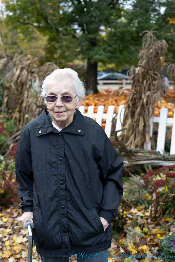
One Saturday of October 2012 we enjoyed this last outing with my mother Catherine Ann Wills. She passed away June 2013 at the age of 90 years. We miss you, Mom.
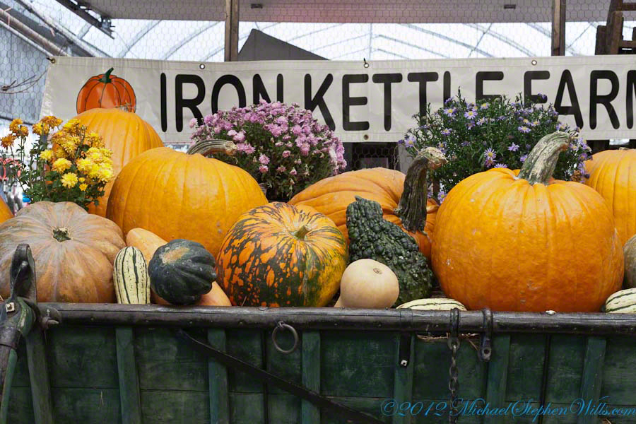
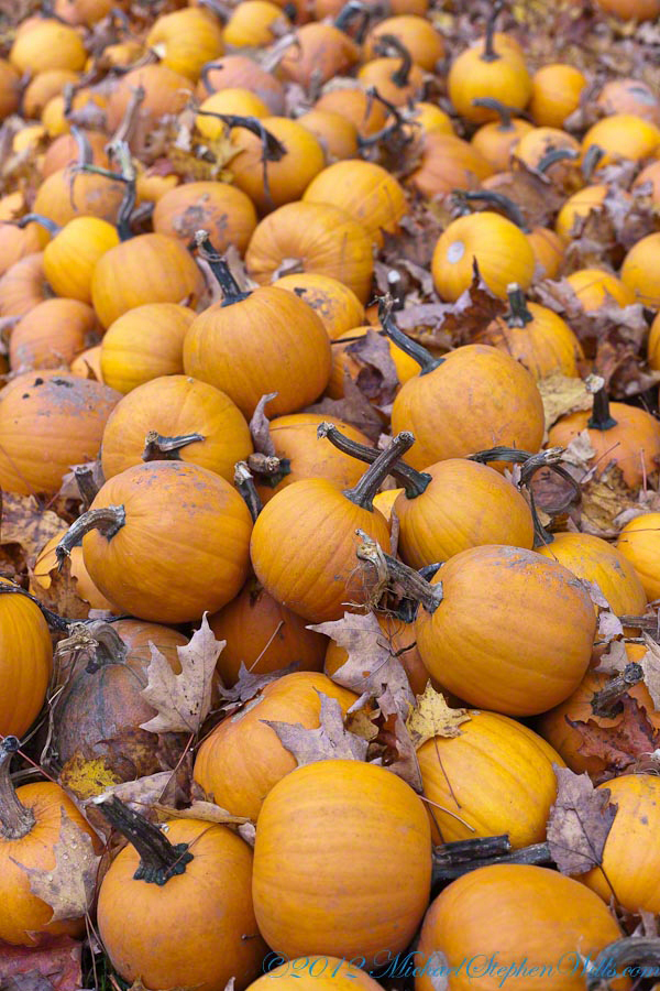
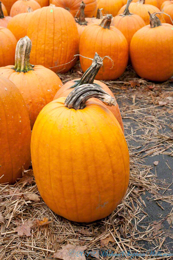
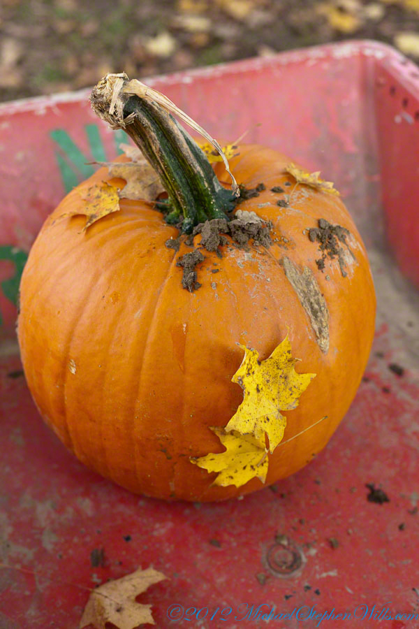
A display of large pumpkins near the entrance to the Iron Kettle Farm.
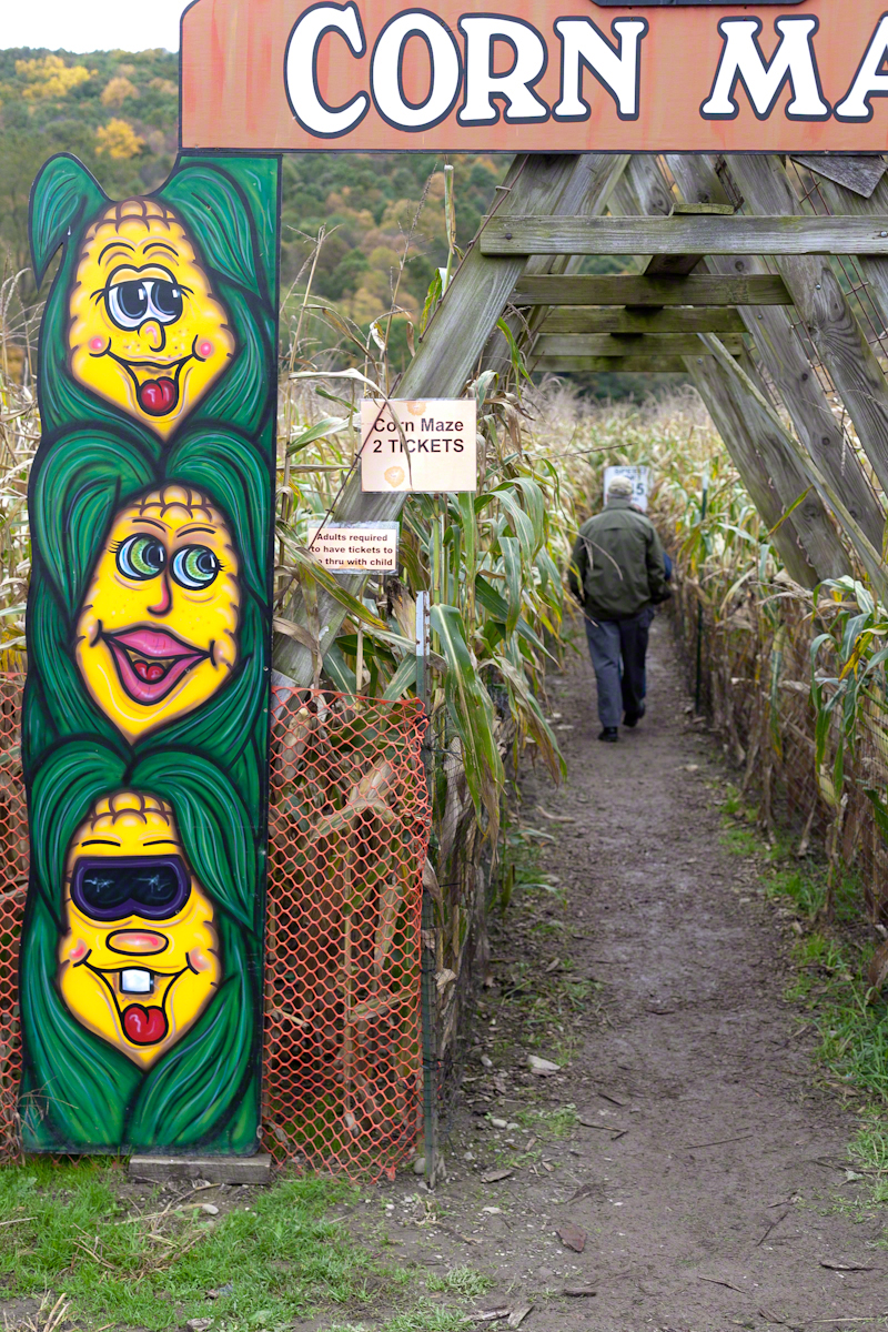
Enter…if you dare….Corn Mazes are popular tourist attractions and are not simply corn fields. The plantings must be made later, planted thinner and fertilized less than those used for crops.
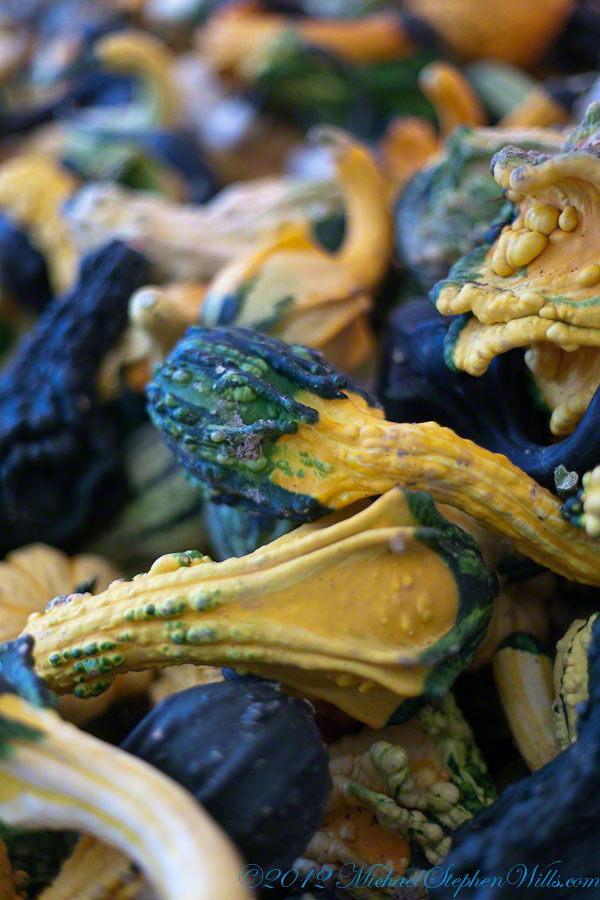
These small, inedible squash, once dried and hollowed out, become gourds. The plant is in the Cucurbitaceae family of the genus Lagenaria. The squash on this table are too small for anything but displays and decorations, such as centerpieces. Great fun and make and enjoy.
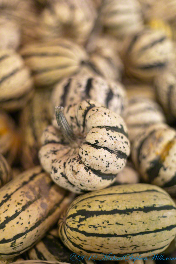
These ornamental squash, also know as cucurbita are not are large enough for use as food. When dried, will last a long time.
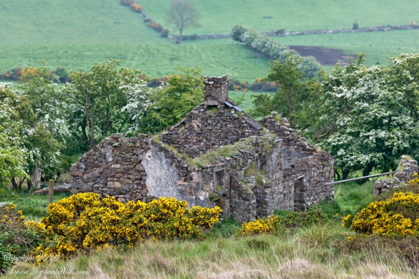
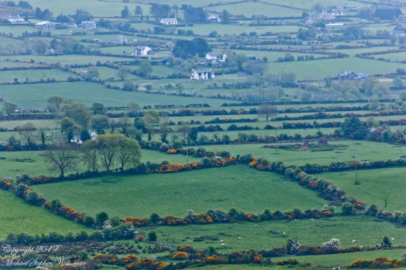
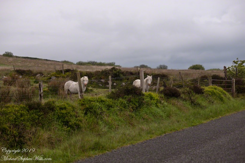
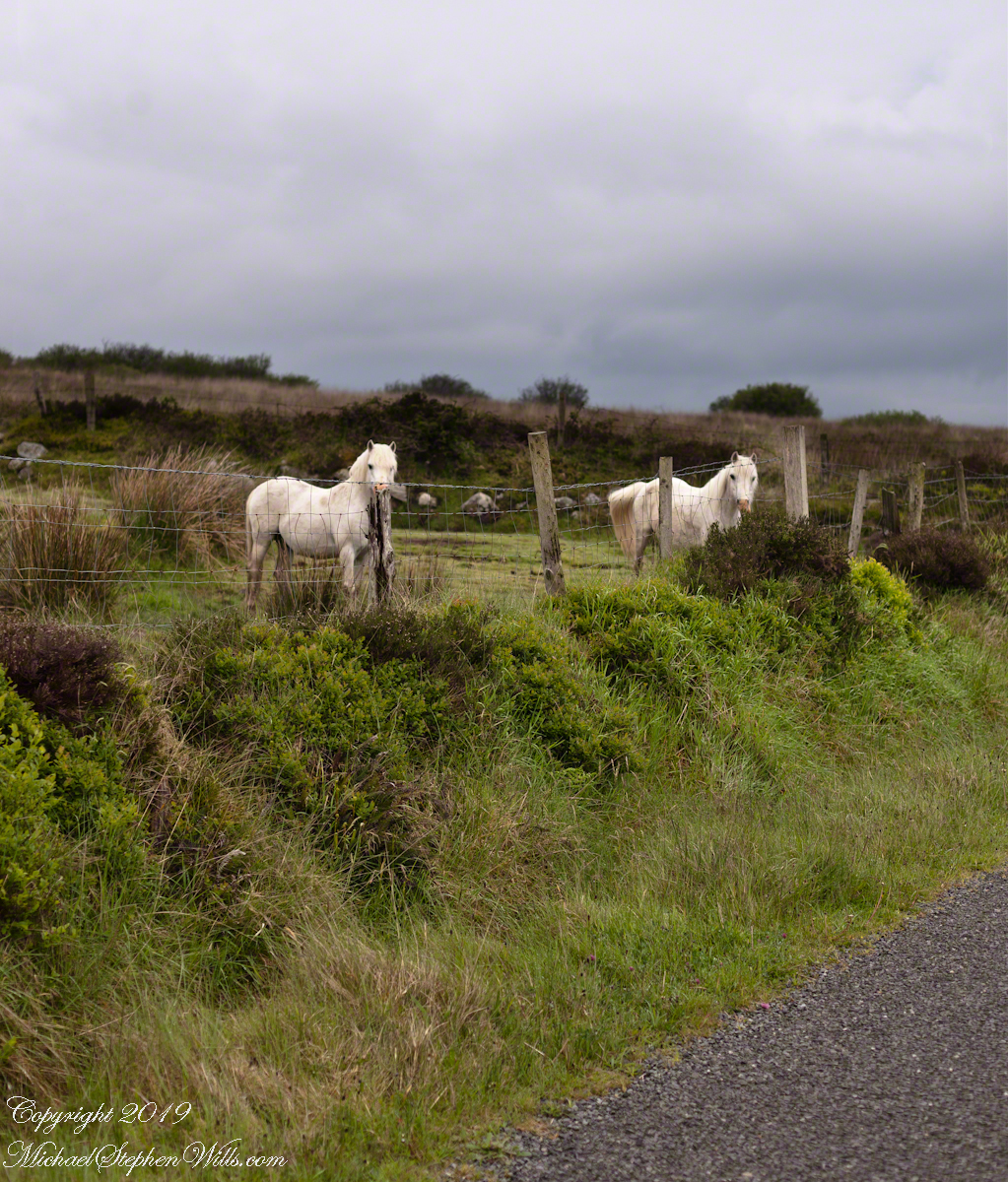
One May early morning two white horses come down from a sloping pasture on Slievenaglogh to view an interloper taking photographs. Slievenaglogh Townland, County Louth, Ireland.
Slievenaglogh Townland, County Louth, Ireland.
This I used the Canon EF 50mm f/1.4 USM lens. It is two shots, the first in horizontal, the second in vertical mode.