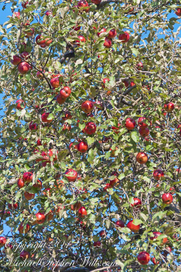
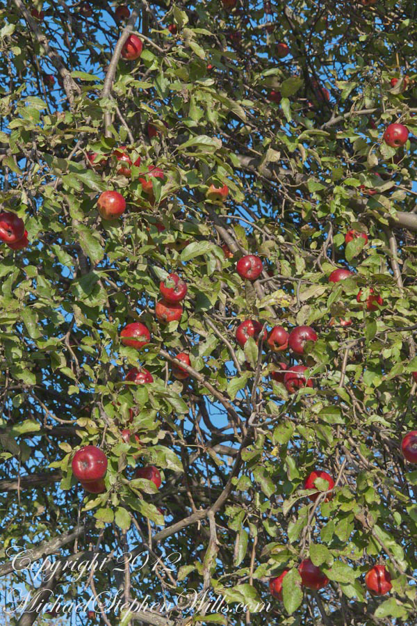
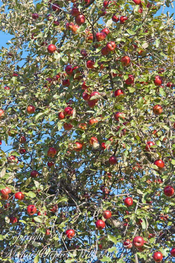
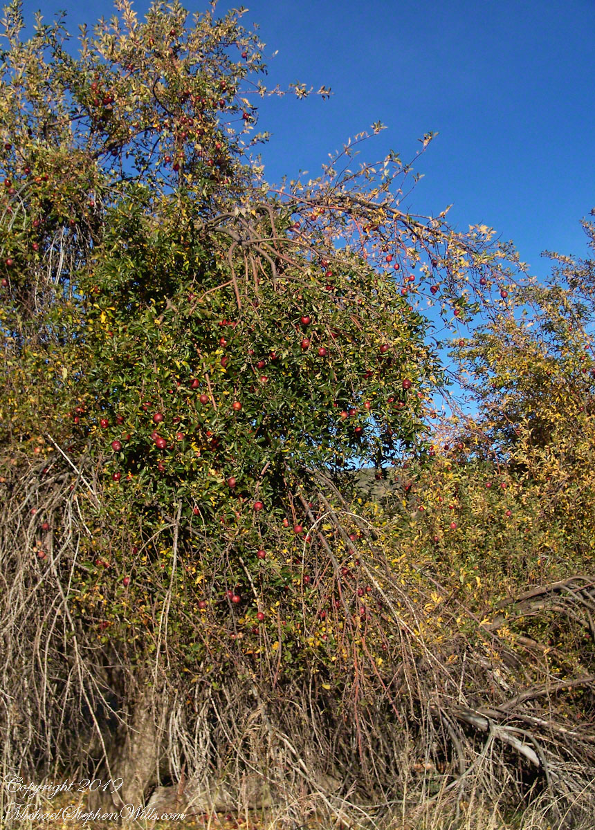
One late afternoon in early autumn, Pam and I strolled along Malloryville Road from our old home, discovering these ripe apples ready for harvest beside a barn.
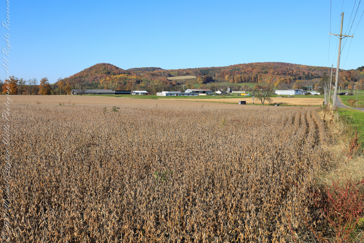
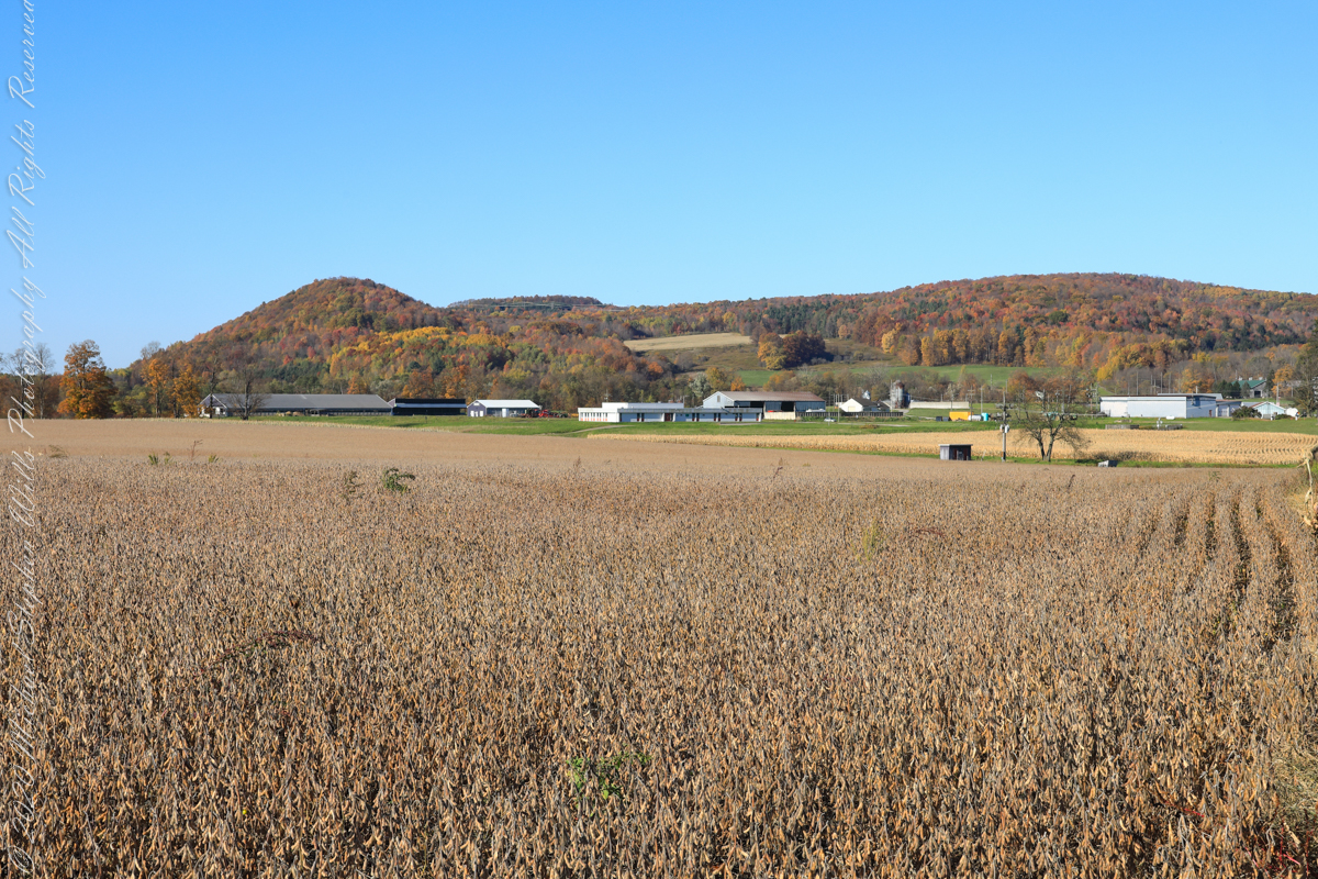
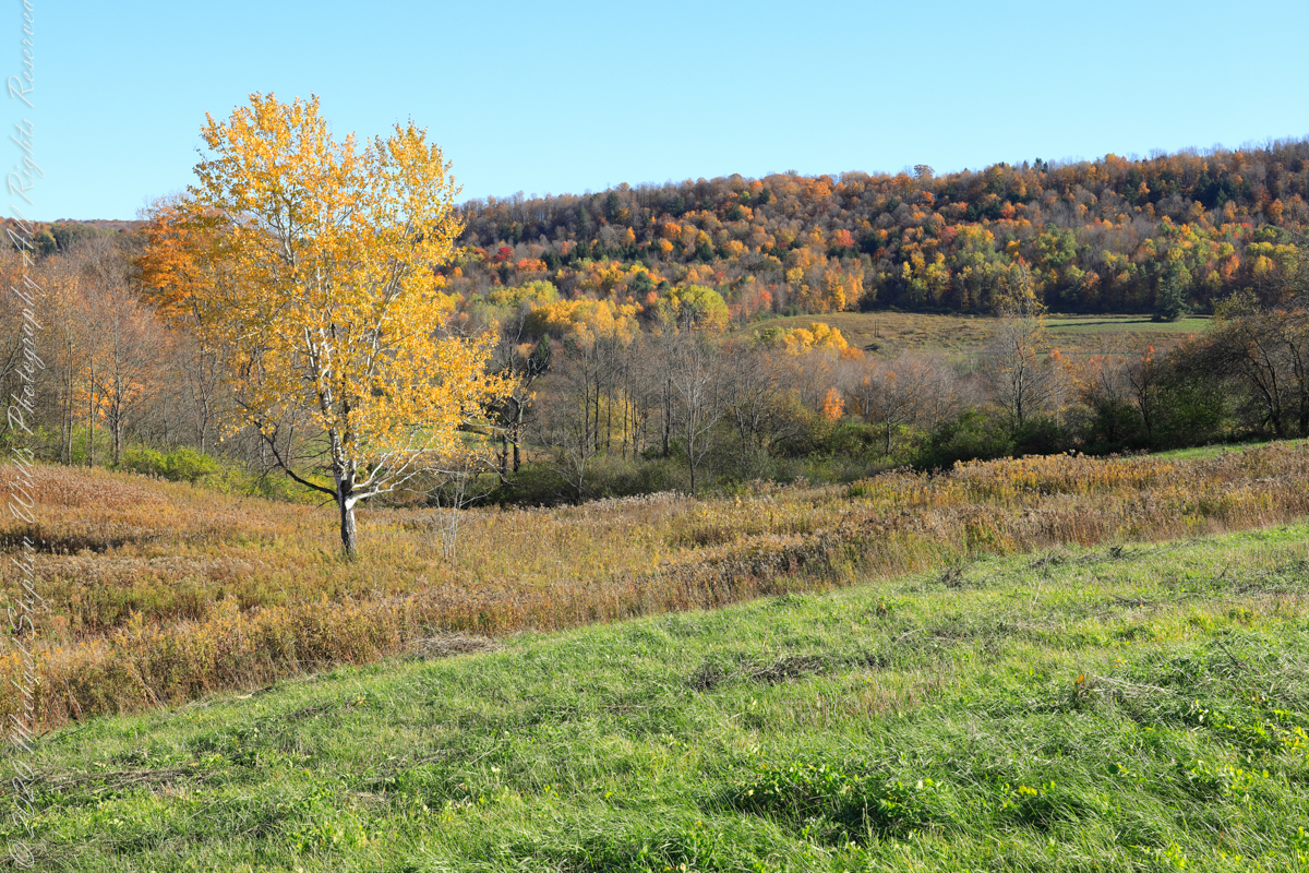
A diorama of the Museum of Natural History, New York City, features this north view, first viewed as a young teen on a school field trip — the duplicated sight was imprinted on my memory. Over the years I passed this spot repeatedly for trips to Long Island for family Thanksgiving celebrations. October 22nd, 2022, the field was planted with soybeans ready to harvest. The rounded hill, a drumlin, finishing the left side of the ridge, is the “star” of this photograph and the diorama.
A drumlin, from the Irish word droimnín (“littlest ridge”), first recorded in 1833, is an elongated hill in the shape of an inverted spoon or half-buried egg formed by glacial ice acting on underlying unconsolidated till or ground moraine.
Same exposure cropped to remove road and poles to perfect the image.
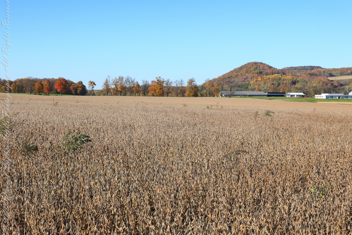
I am not sure the north/northwest view is an improvement, as seen in the following photograph.
Copyright 2022 Michael Stephen Wills All Rights Reserved
For this series I travelled a short distance south from where Palmer Road intersects with Virgil Road, crossing the border from Tompkins to Cortland County, closer to Carpenter Hill.
In the 19th Century driven wells (also called tube wells) were an innovation developed in Cortland County under the command of a Civil War era Colonel Nelson W. Green who sought for twenty-two years to impose royalties on use of driven wells. I.H. Palmer assisted John W. Sugget, both of Cortland County, in a seminal patent law case they won in U.S. Supreme Court seeking the release from royalty payments from thousands of driven well installations throughout the Eastern and Midwestern United States. Their successful argument was for two years before any patent application, in Cortland County, driven wells were in use. I cannot say Palmer Road has a connection to I.H. Palmer, though it is an interesting historical aside.
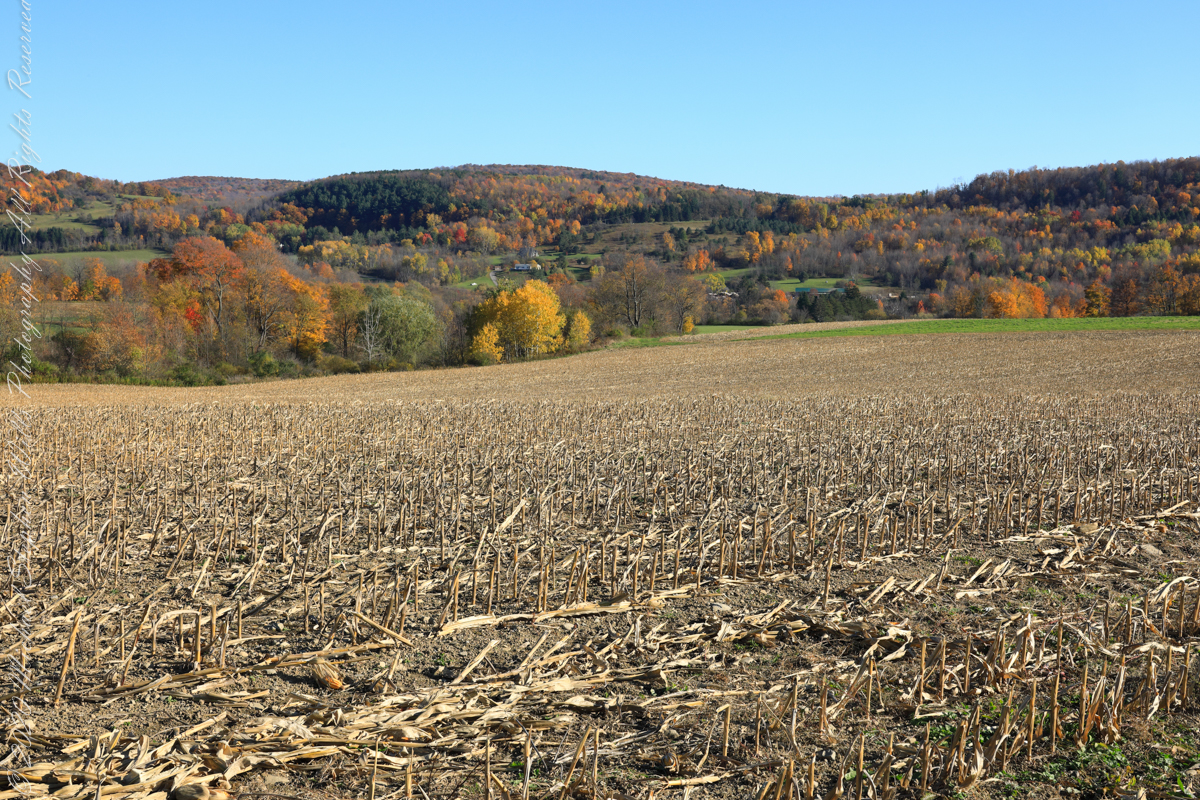
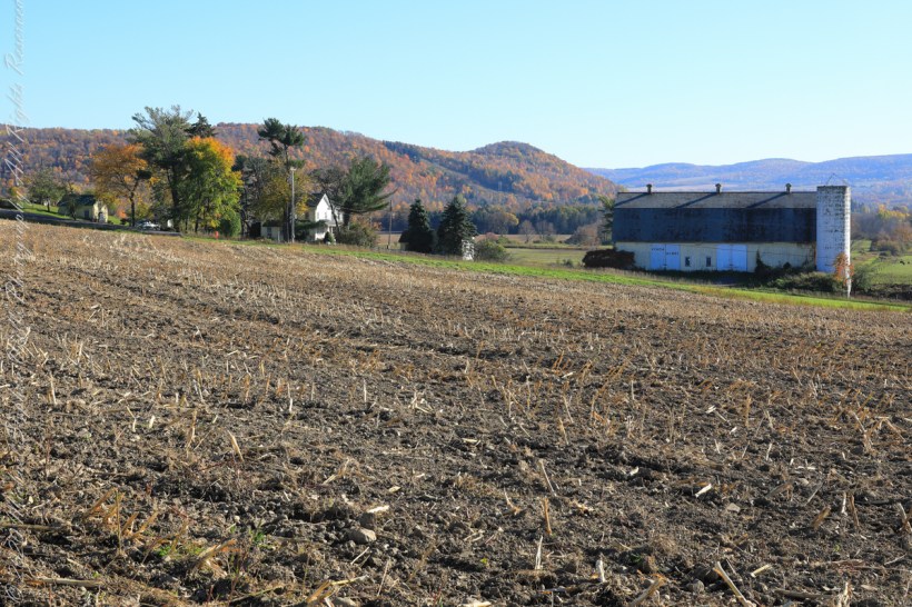
View east from Palmer Road across corn stubble. A feeder stream to Virgil Creek is marked by the nearest line of trees, beyond the land rises over the shoulder of Owego Hill.
View east/southeast from Palmer Road across corn stubble. A feeder stream to Virgil Creek flows through the first tree line on left with the creek itself in the far trees, center at the foot of Carpenter Hill. The green field at edge of corn stubble is the fallow field of the next photograph.
View east/southeast from the east edge of a fallow field along Palmer Road. Looking across Virgil Creek to the slope of Carpenter Hill. Cortland County, New York.
Copyright 2022 Michael Stephen Wills All Rights Reserved
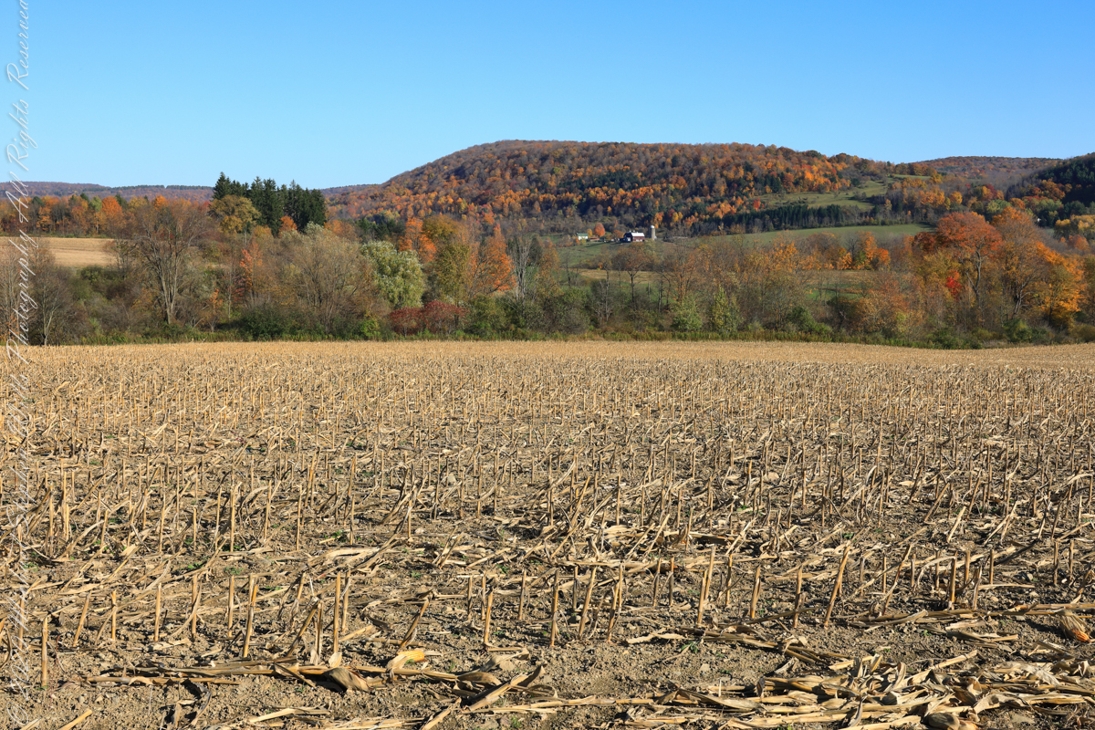
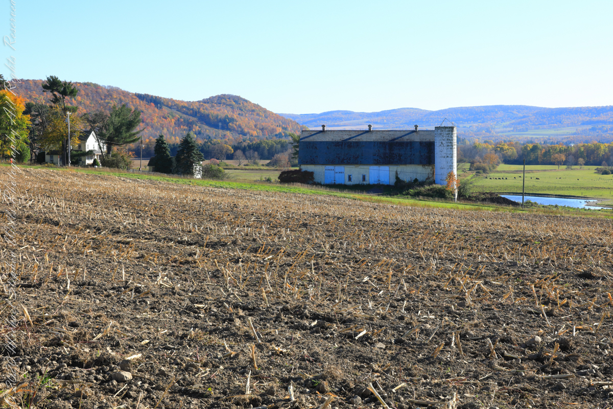
Carpenter Hill from Virgil Road, Route 392, looking across cornstalk stubble and McClintock Road, a faded yellow barn with “Vinda Acres” written on the doors.
The hill is clearly a drumlin. A drumlin, from the Irish word droimnín (“littlest ridge”), first recorded in 1833, is an elongated hill in the shape of an inverted spoon or half-buried egg formed by glacial ice acting on underlying unconsolidated till or ground moraine.
Distant ridges on the right include Hammond Hill. The road to Virgil above the town of Dryden, Tompkins County, New York.
Copyright 2022 Michael Stephen Wills All Rights Reserved
Imagine walking across the ranch house ruin towards where I described the former pond. Looking to the east and north from the elevation you see this sight.
In the near distance a grass pasture slopes into Reavis Creek. The creek has flowing water in all but the longest dry seasons. By the way, the trail from Pine Creek is on the slopes of that conical feature in the distance, to the left.
Click any photograph for a larger version.
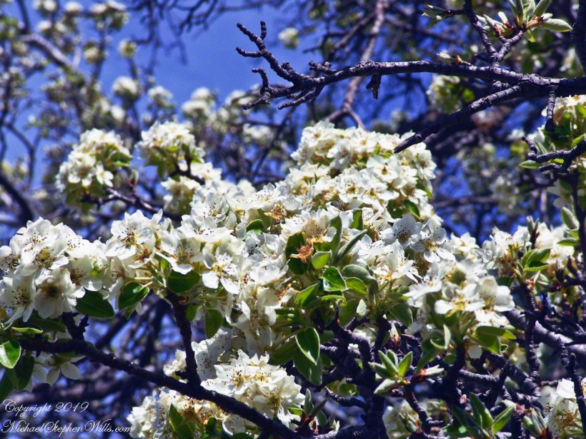
Looking from the former house site towards the Arizona Trail running beneath the distant red rock ridge. Not the fence rails on the left and apple trees in bloom.
From the ruin, walk down the Arizona Trail, south, for a few hundred feet and turn left into the fields to encounter the same apple tree, and a close up of pure white apple blossoms.
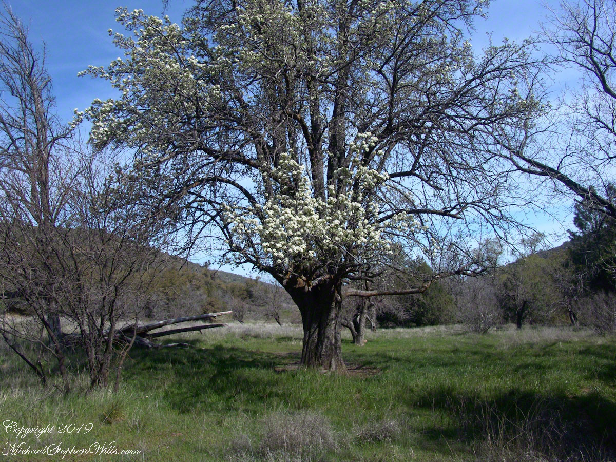
Portrait of a Blooming Apple Tree
At Rest and History
This tree is an outlier of a thick stand of several hundred trees to the north. The Searcher and I rode into the middle of the grove for a rest and chat. The horses were allowed to graze in the abundant new grass brought on by the winter rains.
The Searcher told me the story of the valley and that it was a man named Clemans who planted 600+ apple trees, trees in bloom all around us. The Reavis Valley was long a site of agriculture, starting in the 19th century with Elisha Reavis, who passed away in 1896 and is buried on the slopes of White Mountain, and continued with a series of ranchers and entrepreneurs in the 20th: John Fraser, William Clemans, who planted the trees, and John A. “Hoolie” Bacon, then Bacon’s son-in-law Floyd Stone who sold the land to the U.S. Department of Agriculture in 1967.
We talked about some earthwork I noticed, in the southern part of the valley. It was part of a water system that diverted Reavis creek flow at the head of the valley to the ranch house. We decided that strange hexogonal structure on the elevation above the house ruin was the site of water storage. At that location the structure would provide a pressure feed for the house and much else.
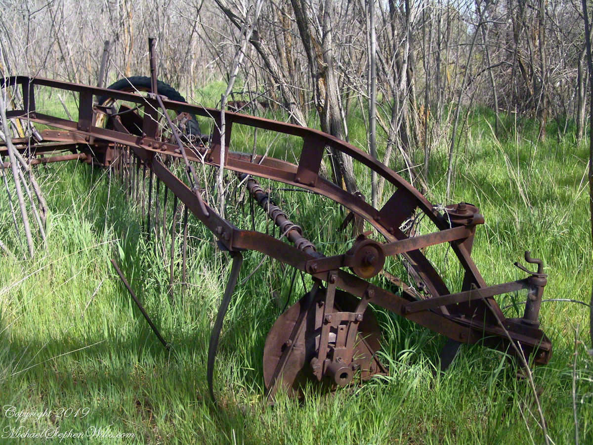
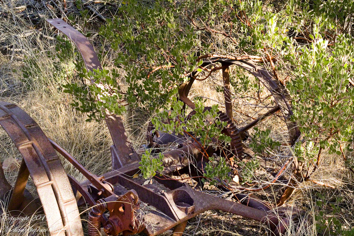
Abandoned Hay Rake
A mix of winter rains and fertile soil were exploited in the Reavis Valley for a handful of decades, the enterprise now is set aside. This abandoned hay rake and chassis, used to harvest grass in seasons past, is evidence of the work. The apple trees produce to this day without irrigation.
The Searcher touched upon the subject of the “Circlestone” ruin he mentioned on our morning ride. He had never been there, but mentioned some books on the subject. It is a wide circle of rough stone wall enclosing mysterious structures. At this point, I was hooked, and decided to check Circlestone on a later trip. Here are some photographs from one of those trips, in November 2006.
Reavis Ranch Apple Orchard Tree
Reavis Ranch Apples Yellow
Reavis Ranch Apples Red
In my next post The Searcher and I return to Pine Creek, Colorado gives me some trouble and we visit a stand of wild oats in the Reavis Gap.