Slievenaglogh View, northeast, IV

View of Slieve Foy

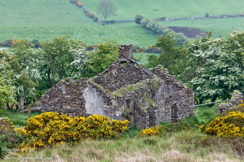
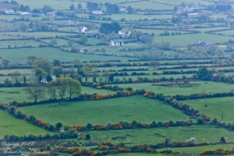
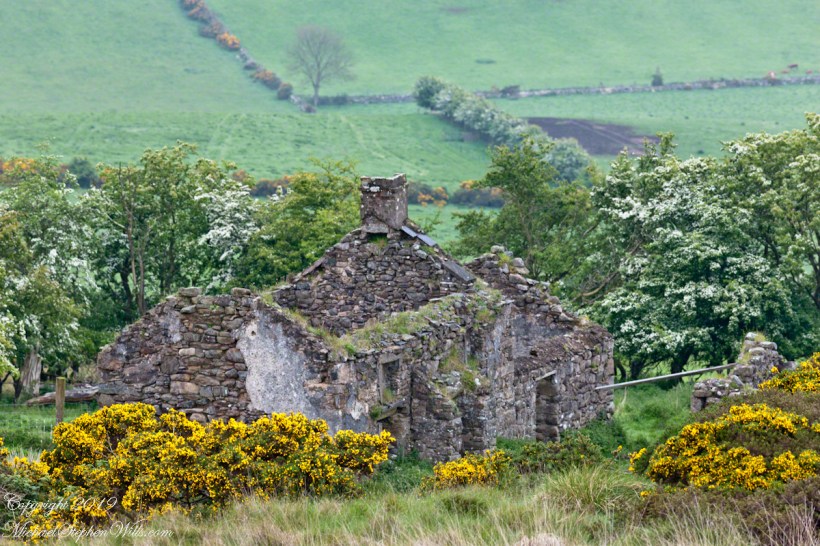
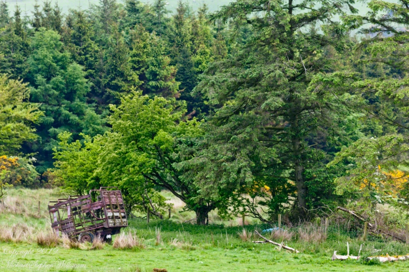
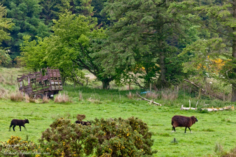
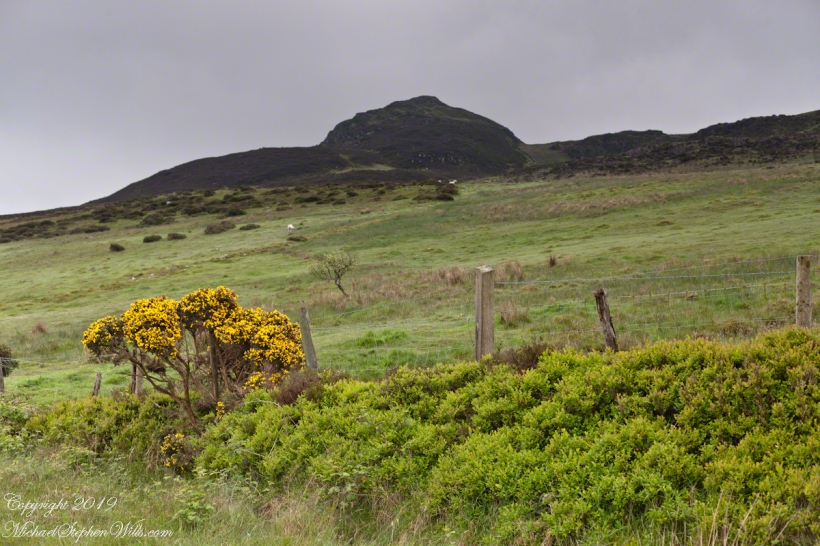
This the fourth of a series of landscape photographs taken from this position.

Click photograph for a larger view. To do this from WordPress Reader, you need to first click the title of this post to open a new page.

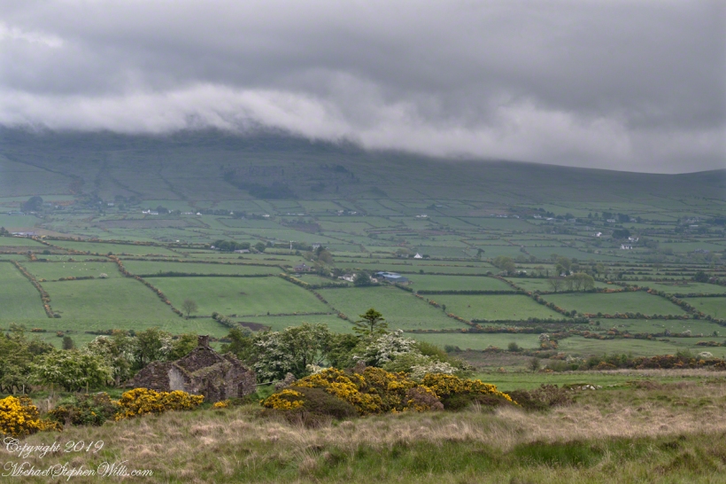
The distant ridge, Slieve Foy, is the site of a mythic battle from the epic “The Cattle Raid of Cooley” (Irish: Táin Bó Cúailnge).

Pam and I did a circuit of the island, returning to the home of my Mom’s first cousin. Our last full day on Ireland a cousin took us on the Tain Trail, over Maeve’s Gap of Slieve Foy and into Carlingford town.

Our route is partly visible to the right of the ridge, hidden in low clouds.

Click for another interesting post and story from the Cooley Peninsula.

Here is a slide show of this landscape series.

Copyright 2022 All Rights Reserved Michael Stephen Wills

Slievenaglogh View, northeast, II & III

Rural Scenery

These are the second and third of a series of landscape photographs taken from this position. See the previous post for the first.

Click photograph for a larger view. To do this from WordPress Reader, you need to first click the title of this post to open a new page.

I visited here early morning of the Monday Pam and I embarked on a trip around the island of Ireland.

Arrived the previous Saturday when, after some sites between Dublin airport and the Cooley Peninsula, we met my Mom’s first cousin who had invited us for a visit. We had a grand time meeting them.

The ruin in this view is on the slopes of the peak. Some of these ruins are former homes with the replacement nearby. This appears to be an abandoned farm.

Click Me for the first post of this series.

Click me for the next post of this series.

Copyright 2022 All Rights Reserved Michael Stephen Wills

Slievenaglogh View, northeast I

It goes on and on and on

Slievenaglogh is the name of a peak on the Cooley Peninsula of County Louth, Ireland near to the birthplace of my Mom, Proleek, a few townlands to the west.

Click photograph for a larger view. To do this from WordPress Reader, you need to first click the title of this post to open a new page.

On the northeast slope of Slievenaglogh peak (Irish: Sliabh na gCloch) on the road from Mullaghattin Townland to Riverstown.

Here we look northeast from the Slievenaglogh Townland, the valley between Slieve Foy and Slievenaglogh peaks.

The view includes Little River, Ballycoly Townland and Castletown River.

Adjacent is a sheep pasture with a farm ruin behind the yellow flowered gorse (whin bush, scientific name Ulex).

Slieve Foy is the far ridge lost in clouds. Early morning, late May 2014.

Click for an interesting post and story from the Cooley Peninsula.

Copyright 2022 All Rights Reserved Michael Stephen Wills

Slievenaglog Slideshow

A May Morning, Early

Every photograph from my recent posting were accepted by Getty IStock. Click this link to visit the photographs on IStock.

Here is a slideshow of my Slievenaglog photography. To visit from WordPress Reader, you need to first click the title of this post to open a new page.
Copyright 2020 All Rights Reserved Michael Stephen Wills

50 vs 24 mm focal length

A Cooley Peninsula Valley on a May Morning

On the northeast slope of Slievenaglogh peak (Irish: Sliabh na gCloch) on the road from Mullaghattin Townland to Riverstown. This day I swapped lenses and took in the same general direction for each. This is the first and last of a series using the Canon EF 50mm f/1.4 USM lens and I pulled in the shots from the Canon 24mm f1.4 L II USM lens, published in previous posts.

Click photograph for a larger view. To do this from WordPress Reader, you need to first click the title of this post to open a new page.

Here we look northeast from the Slievenaglogh Townland over the valley between Slievenaglogh and Slieve Foy peaks. Slieve Foy is the far ridge lost in clouds.

This is the first and last of a series using the Canon EF 50mm f/1.4 USM lens.

The view includes Little River, Castletown River, Ballycoly and Glenmore Townlands. Adjacent is a sheep pasture with a farm ruin behind the yellow flowered gorse (Whin bush, scientific name Ulex).

Early morning, late May 2014.

Here is a slideshow of the 50mm and 24mm images of this post.

Click for another interesting Ireland post and story

Copyright 2020 All Rights Reserved Michael Stephen Wills

Frame

green pastures framed by Whin Bush and Hawthorn windbreak

The road runs high on the shoulder of Slievenaglog peak, the 200 mm lens peers into the next townland over, Ballycoly (or Ballygoley), the valley floor broad, pastured.

Click photograph for a larger view. To do this from WordPress Reader, you need to first click the title of this post to open a new page.

This is the seventh and last of a series using the Canon EF 200mm f/2.8L USM lens.

Here is a recap of recent posts with the 200 and 24 mm lens. Can you tell the difference?

Click for another interesting Ireland post and story

Copyright 2020 All Rights Reserved Michael Stephen Wills