On the northeast slope of Slievenaglogh peak (Irish: Sliabh na gCloch) on the road from Mullaghattin Townland to Riverstown. This day I swapped lenses and took in the same general direction for each. This is the first and last of a series using the Canon EF 50mm f/1.4 USM lens and I pulled in the shots from the Canon 24mm f1.4 L II USM lens, published in previous posts.
Click photograph for a larger view. To do this from WordPress Reader, you need to first click the title of this post to open a new page.
Slievenaglogh View, northeast, 50mm 
Slievenaglogh View, northeast
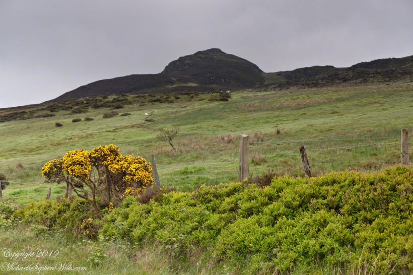
Here we look northeast from the Slievenaglogh Townland over the valley between Slievenaglogh and Slieve Foy peaks. Slieve Foy is the far ridge lost in clouds.
This is the first and last of a series using the Canon EF 50mm f/1.4 USM lens.

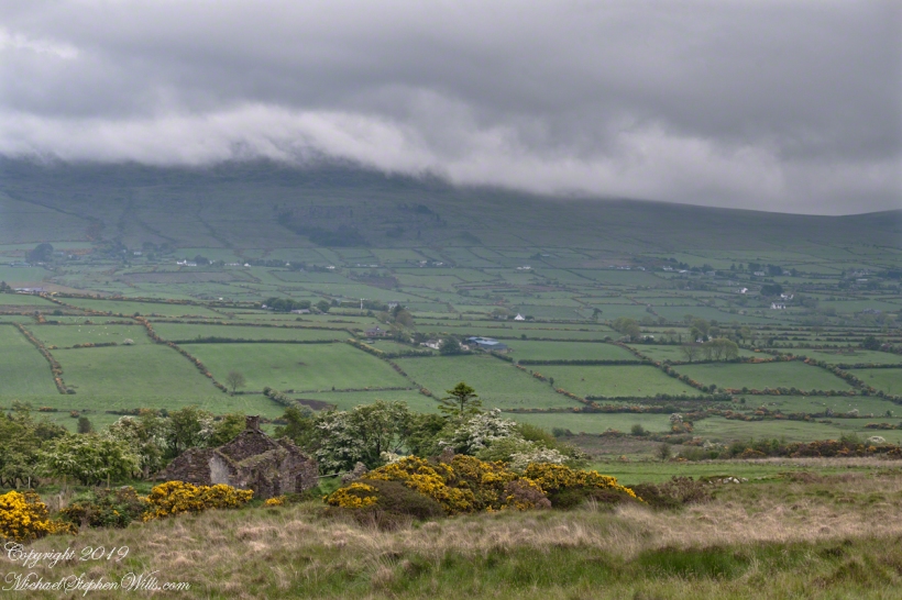
Slievenaglogh View, north northeast. 50mm 
Slievenaglogh View, north northeast
The view includes Little River, Castletown River, Ballycoly and Glenmore Townlands. Adjacent is a sheep pasture with a farm ruin behind the yellow flowered gorse (Whin bush, scientific name Ulex).
Slievenaglogh View, east, 50mm 
Slievenaglogh View with road, east
Early morning, late May 2014.
Here is a slideshow of the 50mm and 24mm images of this post.
Slievenaglogh View, northeast, 50mm Slievenaglogh View, northeast Slievenaglogh View, north northeast. 50mm Slievenaglogh View, north northeast Slievenaglogh View, east, 50mm Slievenaglogh View with road, east
