This the fifth and final of a series of landscape photographs taken from this position.
Click photograph for a larger view. To do this from WordPress Reader, you need to first click the title of this post to open a new page.

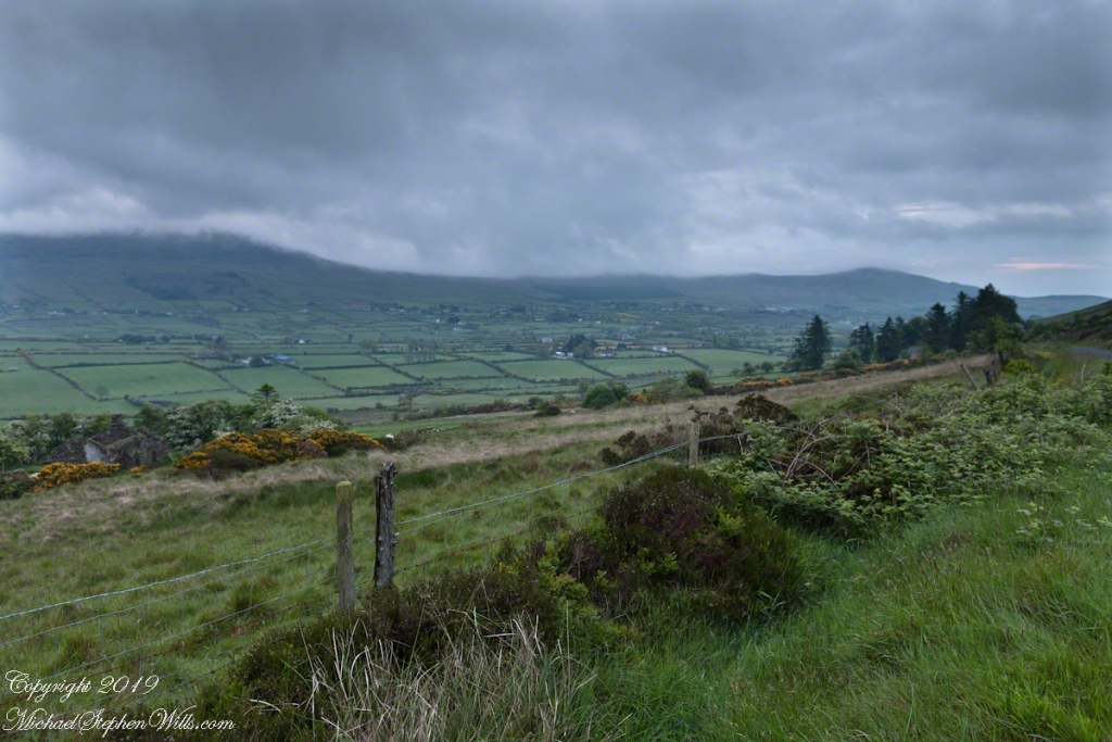
The peak is named, in the English language, Slievenaglogh. It is so strange as it’s not English, being instead a transliteration of the Irish name “Sliabh na gCloch.” This is “Rock Mountain” translated literally. Slievenaglogh is carried to the townland, a long thin swath of land being the peak and associated ridge-line.
The rocks up there are called “gabbro,” a type of magma slowly cooled under ground. Slievenaglog, Slieve Foy across the valley, and the Morne mountains all formed within volcano magma chamber(s) of the Paleocene, 66 million years ago, a time associated with extensive volcanism and the Cretaceous–Paleogene extinction event that gave rise to the current age.
Our younger cousin has been up there, optimistically we left it for a later trip.
Click for another interesting post and story from County Louth.
Here is a slide show of this landscape series.