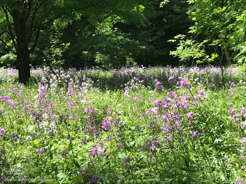
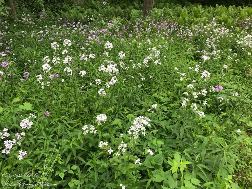
Still photography does not do justice to the Phlox meadow of yesterday’s posting. Here is another presentation including the sights and sounds. Smello-vision does not yet exist.
Cayuga, the name of the Iroquois tribe of this area, the name of our Finger Lake, an average of 1.7 miles wide, the longest at 40 miles. Fans of the “Twilight Zone” remember Rod Sterling’s Cayuga Productions named for a family lake house, from his maternal grandmother, on the west side of the lake.
Click any photograph for a larger view. To do this from WordPress Reader, you need to first click the title of this post to open a new page.
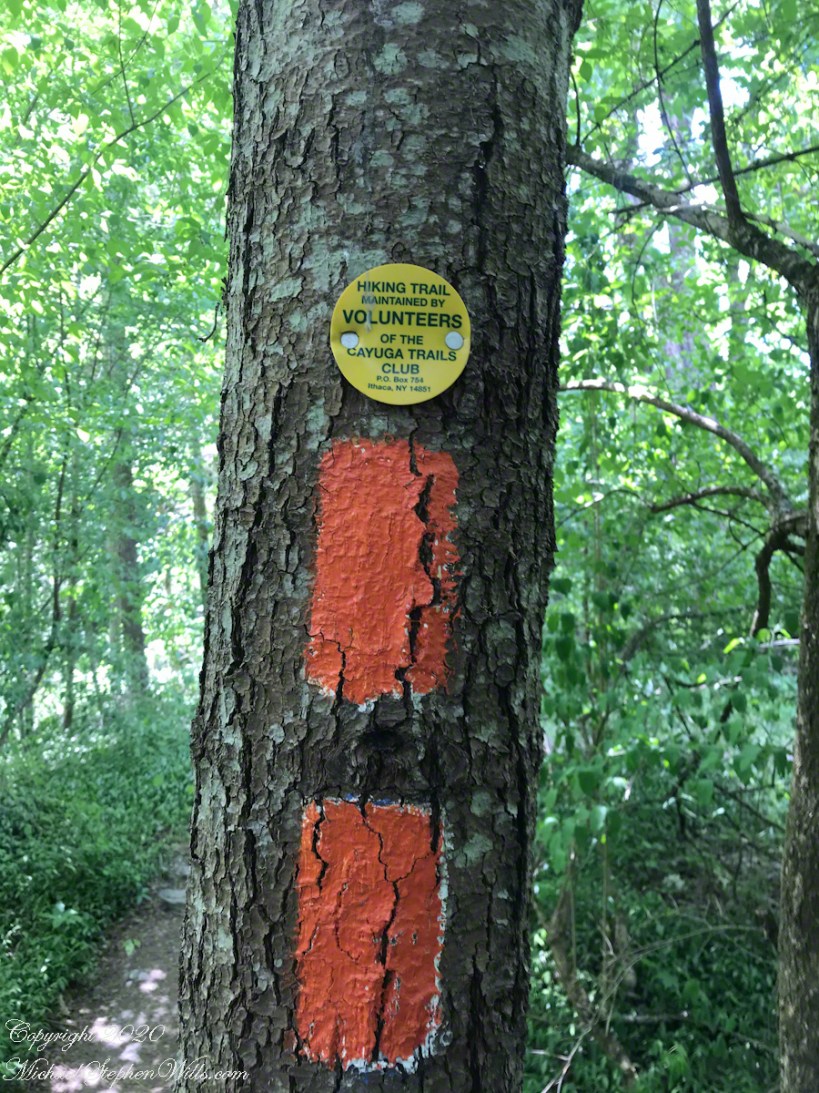
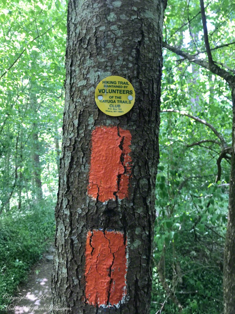
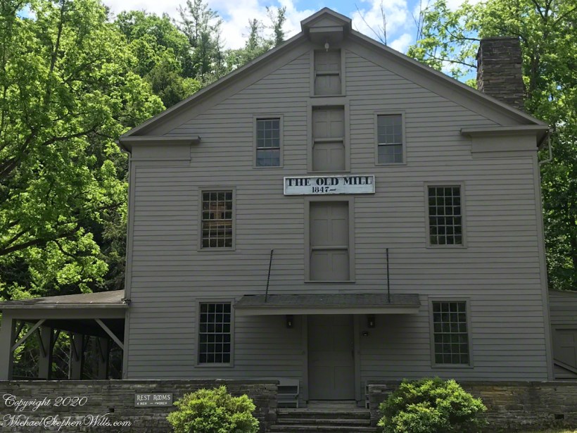
Here we continue this Sunday loop hike, taking this stairway hidden next to the Old Mill. Thanks to the Cayuga Trails club the trail is marked and maintained.
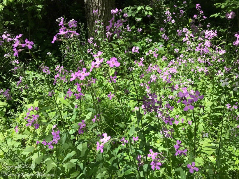
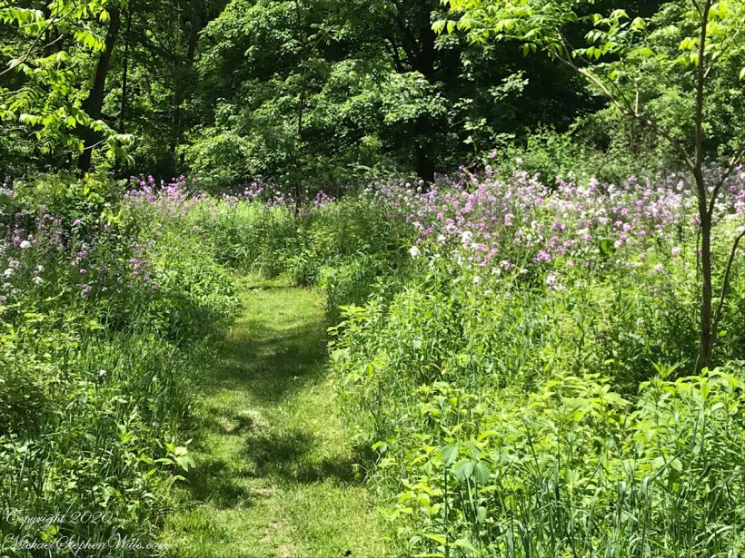
A meadow next to Fish Kills is filled with Phlox.
A path through heaven.
To Be Continued……
Copyright 2019 All Rights Reserved Michael Stephen Wills
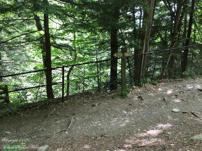
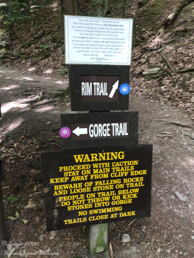
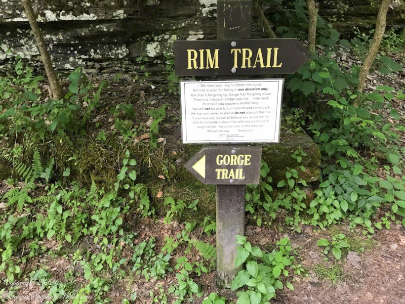
Looping from the hinterland of Treman Park, I turned left on the Rim Trail, following the a one-way track in this time of coronavirus.
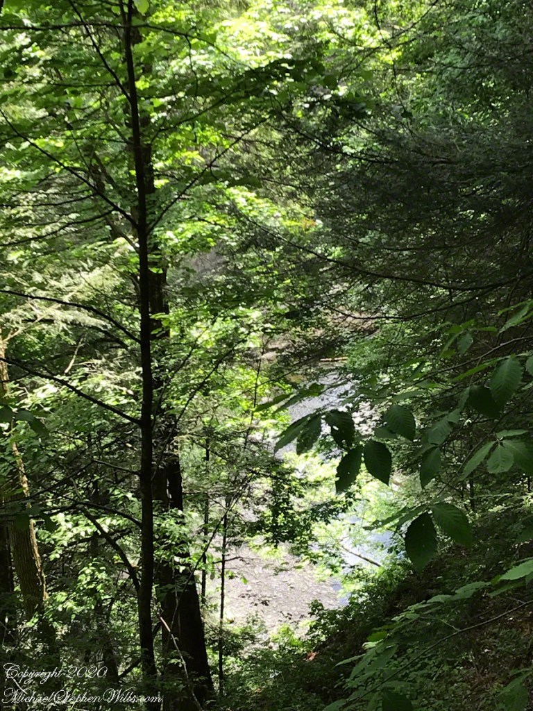
“Ithaca is Gorges” is a popular bumper sticker with locals and in this portion of the walk we glimpse the truth of the marketing. No sooner than I turn onto the Rim trail, a foursome approaches, two young couples, a baby in a front mounted carrier on a presumed father, the women talking continuously. I ducked into a handy viewing platform to maintain distance and wait 5 minutes or so until the breezes clear the air. The mask is in my pocket.
Click any photograph for a larger view. To do this from WordPress Reader, you need to first click the title of this post to open a new page.
All these photographs and video are from an IPhone 7, sent to my laptop via ICloud.
Turn Left, the trail is one-way
An alcove with a gorge view
“Ithaca is Gorges”
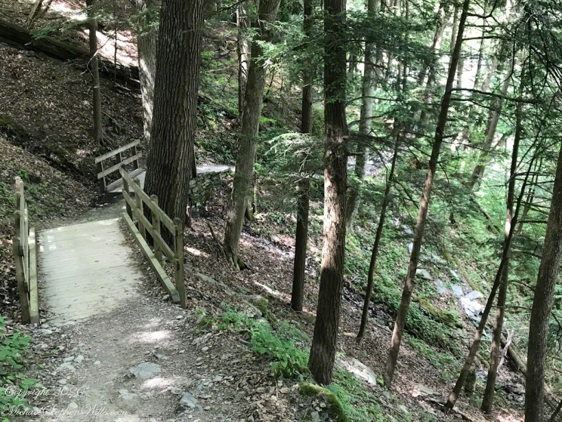
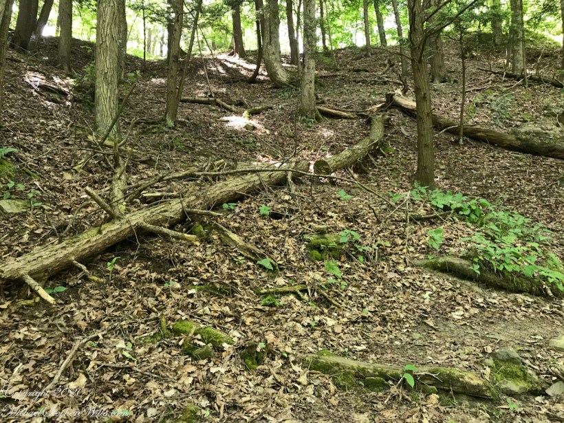
I am not the fastest walker and this portion of the trail, a steep incline with many large rocks, roots and tilting bridges over rills, demanded care. Still, no other hikers passed me.
A drunken bridge
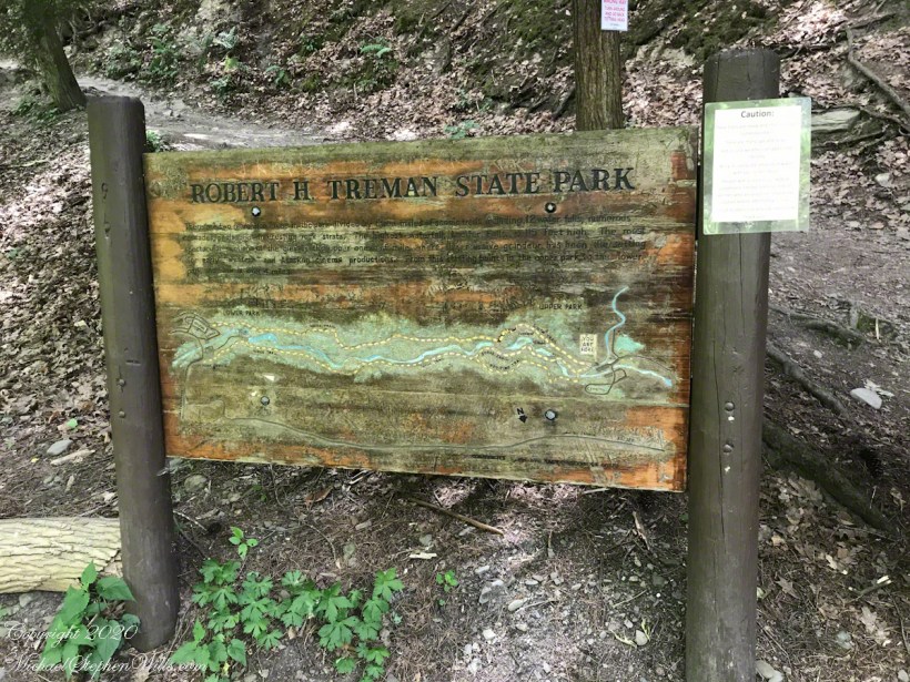
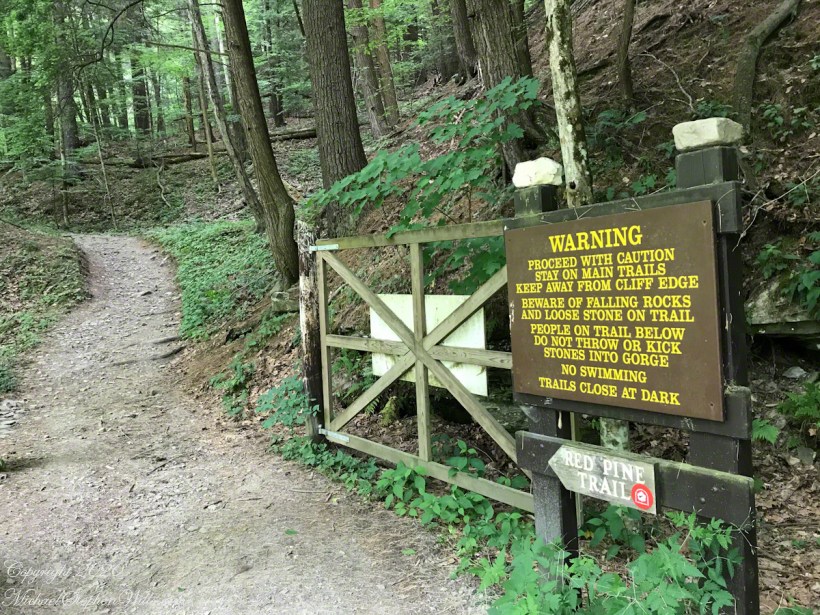
I love this carved sign at the trail head.
COVID-19 mitigation plan at top
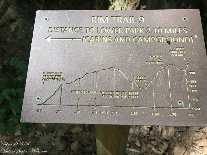
These small placards are placed strategically with X’s to mark your position.
Signs
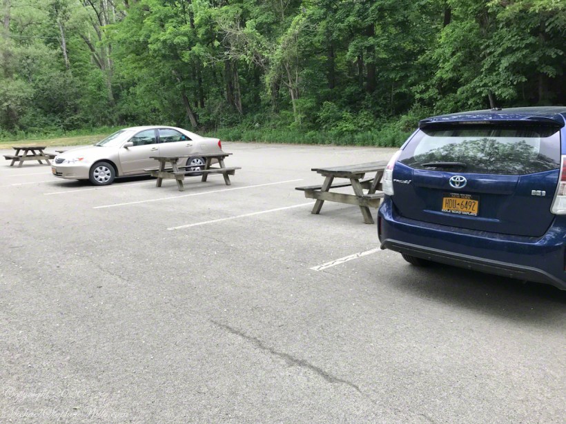
Walking the parking lot I understood why, there were few cars and people. Still, I needed to head off the path into the parking lot to maintain distance. Why is it always I how move? Time for experimentation, but I don’t want to put on the mask.
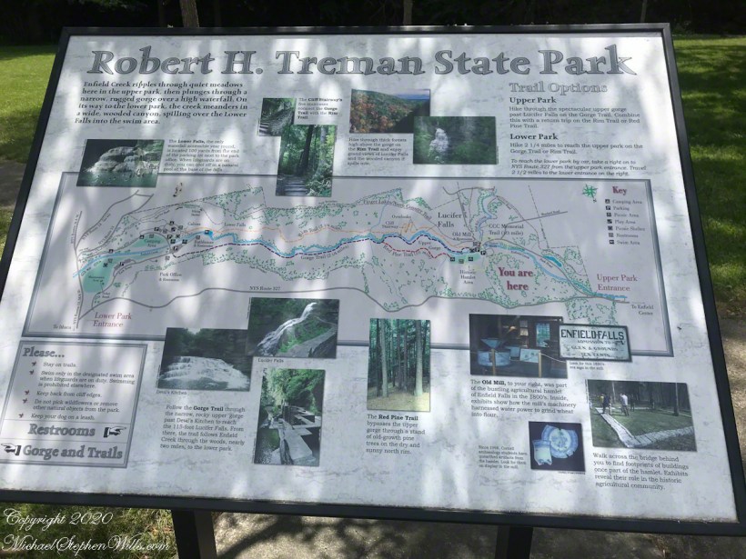
Highlights of Treman Park
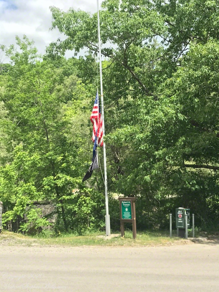
Half Mast
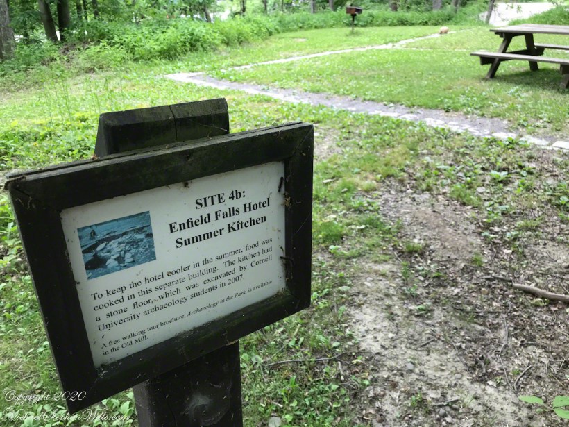
Closed for COVID-19. The Mill has excellent exhibits on what life was like back then.
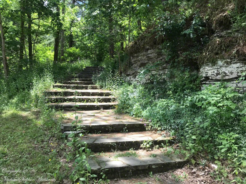
Find this mysterious pathway to beyond next to the Old Mill. To be continued……
Copyright 2019 All Rights Reserved Michael Stephen Wills
Click any photograph for a larger view. To do this from WordPress Reader, you need to first click the title of this post to open a new page.
Turn left after the bridge on this narrow footpath between Fish Kill and a steep hill, almost a cliff.
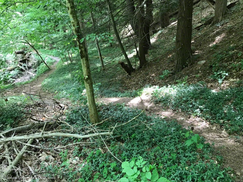
The path turns, up the hill in switchbacks crossing muddy patches. Difficult to find and follow.
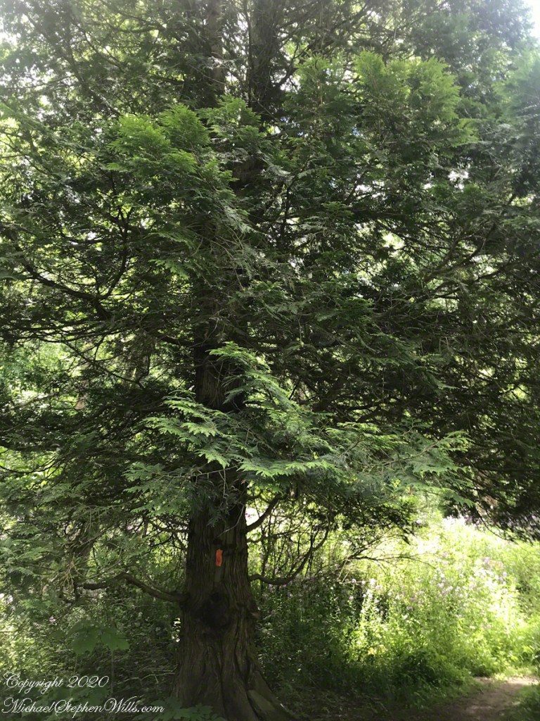
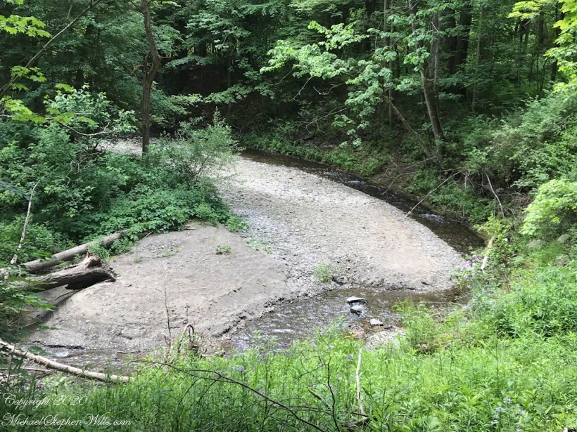
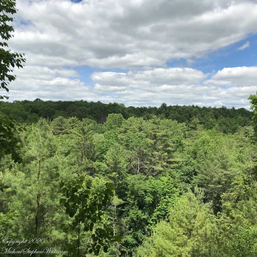
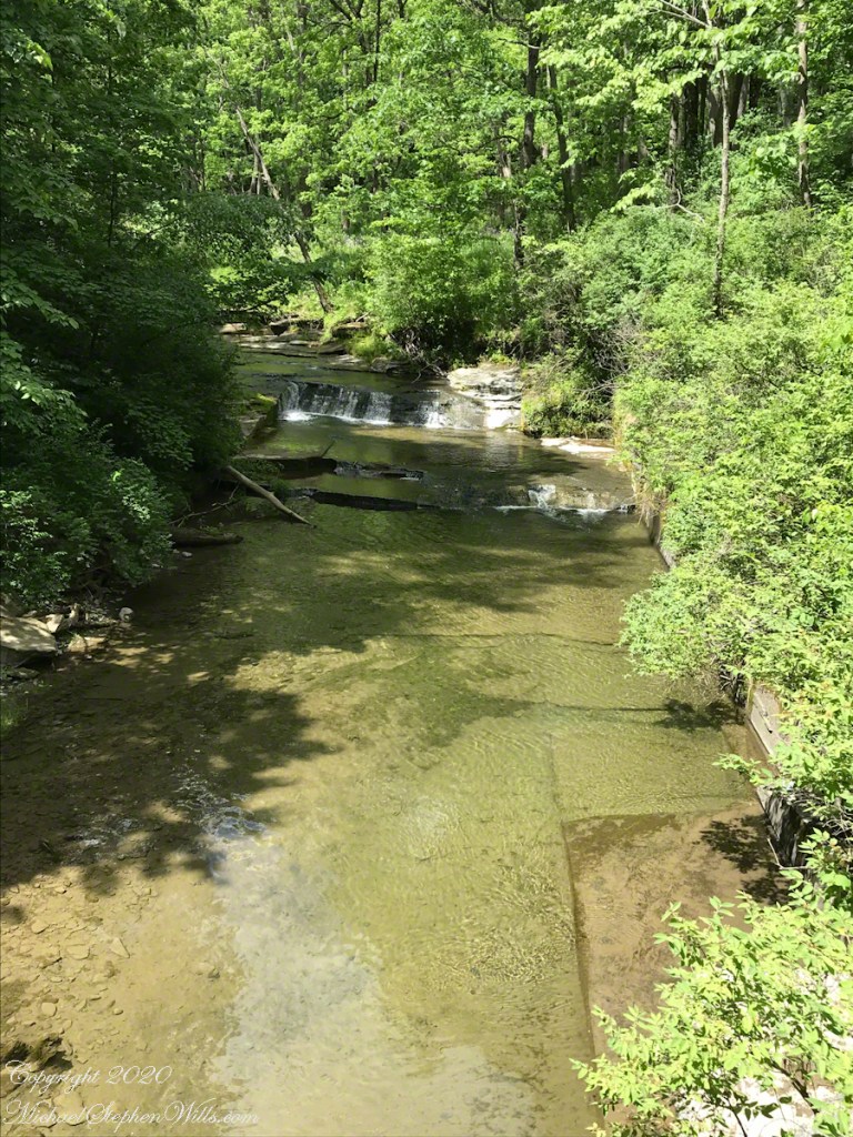
At top is a pine forest and this view where Fish Kill undercuts the hill.
Enjoying the view.
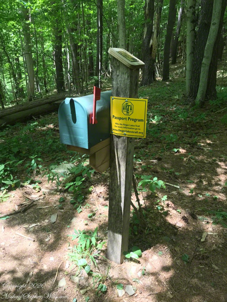
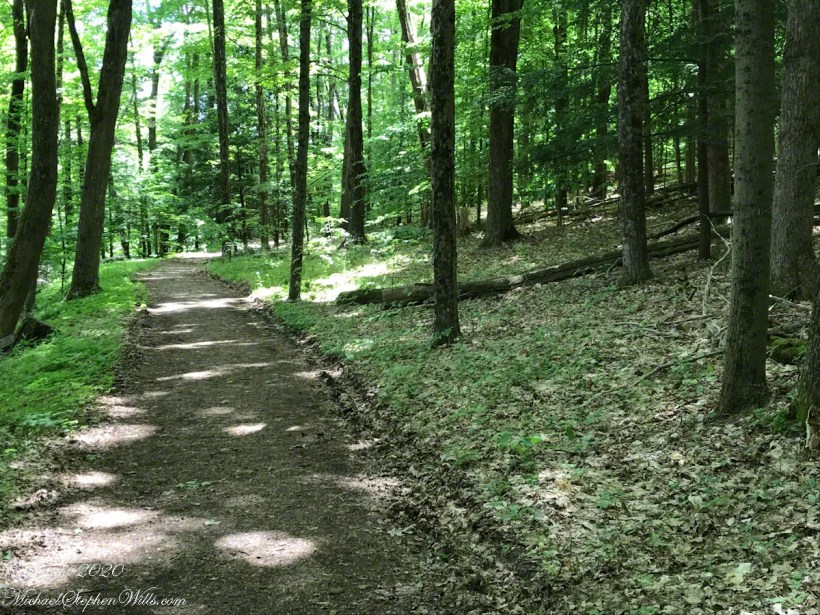
This is the well marked Finger Lakes Trail into Treman Park.
I turn off the trail onto this service road I know intersects with the Rim Trail of Treman Park.
I meet no other hikers, though at the foot of the hill, where the path turns to climb, I pass a tent on a spot overlooking Fish Kill. This portion of the Finger Lakes Trail traverses the forested southern rim of Enfield Gorge (Treman Park) close to private lands, occasionally emerging for short distances on roads. It is the little known, and true, Rim Trail. The park’s named Rim Trail runs below on the side of the gorge.
Here is where the service road intersects with the Rim Trail, beyond the fence is a cliff dropping to Enfield Creek on an approach to the dramatic Lucifer Falls through the Devil’s Kitchen. With COVID-19 the park trails are one-way to reduce hiker interactions. The Rim Trail is one-way, up the gorge. I turn left.
To be continued…..
Copyright 2019 All Rights Reserved Michael Stephen Wills
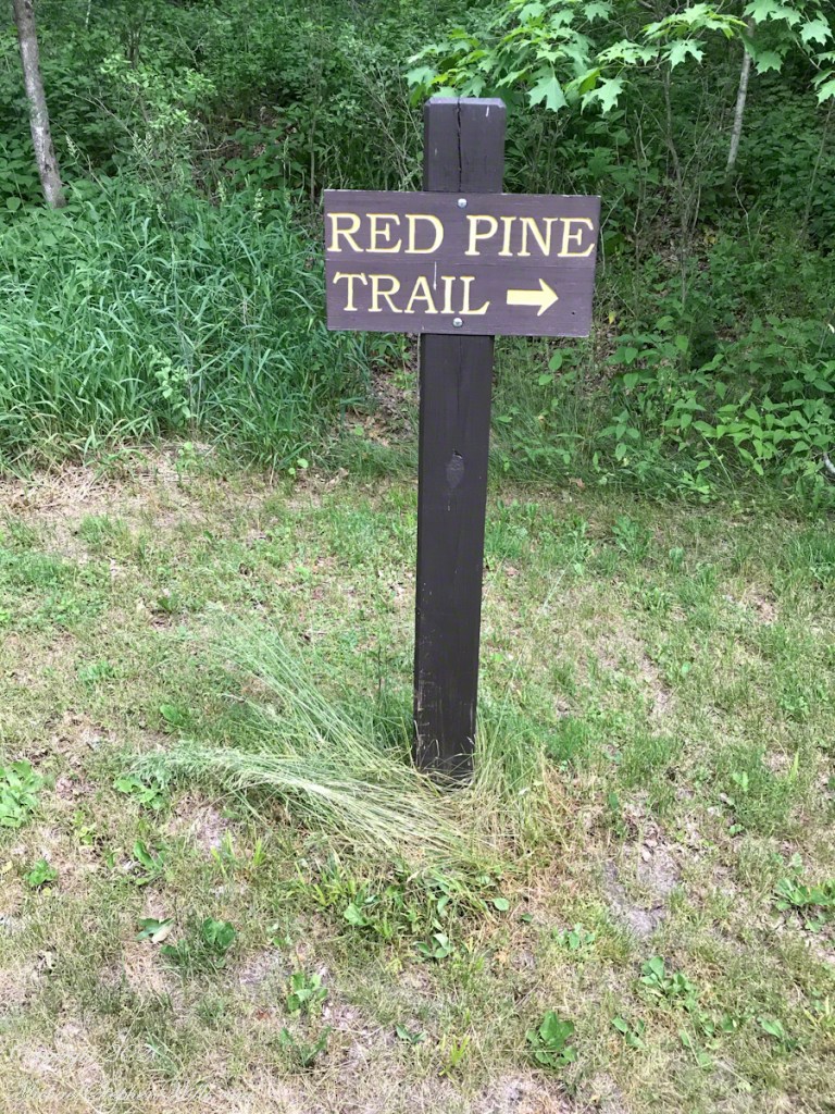
Hiking nowadays I seek out unfrequented spots, such as the Red Pine Trail using the adage “a mile makes all the difference” to find peaceful corners even in popular New York State Parks. A turn onto Woodard Road finds an intersection with a Finger Lakes Trail. On one side heading away to woodlands and fields. The other side the same with the option of hitting Treman’s Rim Trail.
Click any photograph for a larger view. To do this from WordPress Reader, you need to first click the title of this post to open a new page.
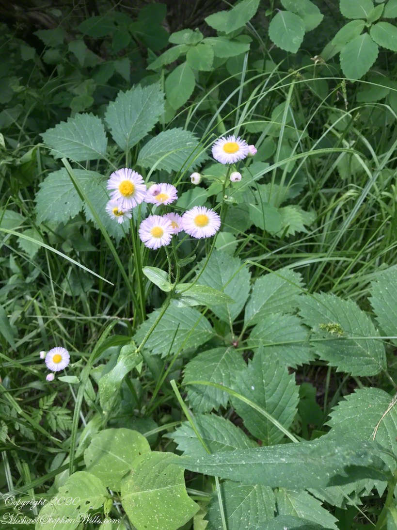
Phlox
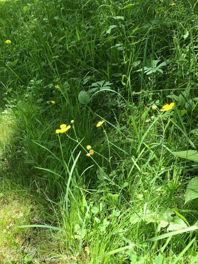
Buttercups
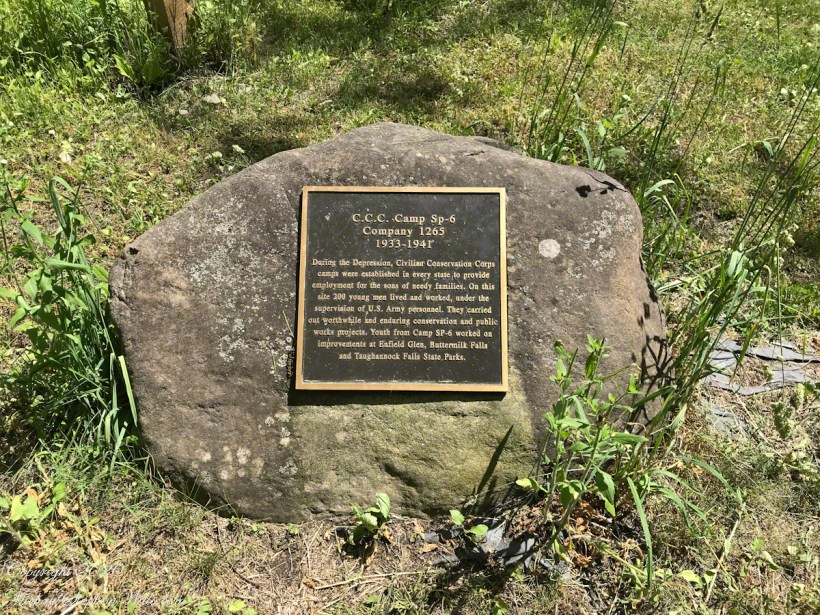
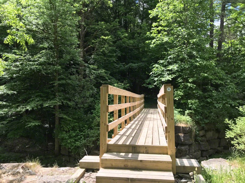
Much of the infrastructure of our local parks were built in the 1930’s during the Depression, witnessed by this plaque. Substantial work is ongoing, such as a bridge over Fish Kill by the Finger Lakes Trail volunteers.
The new bridge changed my plans for today, previously Fish Kill was a barrier.
View from the new bridge
To be continued…..
Copyright 2020 All Rights Reserved Michael Stephen Wills
Click any photograph for a larger view. To do this from WordPress Reader, you need to first click the title of this post to open a new page.
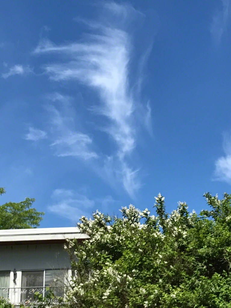
Perfect weather
I break away from household chores on a week day for exercise, arriving am impressed by the COVID-19 mitigation.
Six Foot Separation begins with parking
The new one-way trail rules, posted on the Rim Trail sign, means my planned route must change. Today’s COVID-19 strategy is to use the Red Pine trail, a very steep climb, a pine woods ramble, ending with descent to the Gorge Trail suitable for a mountain goat. The rules mean I cannot turn right on the Gorge Trail to form a loop. Instead commitment to the Gorge Trails means a 4 mile loop to the bottom of the park, returning on the Rim Trail. I decide to climb to the top and return.
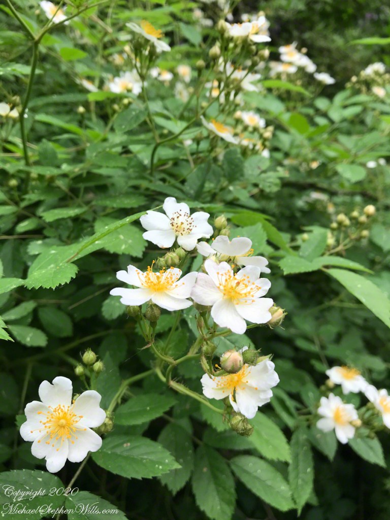
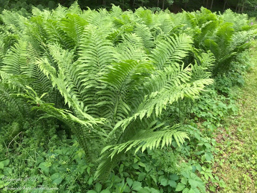
I take an interesting detour on the way, visiting an archaeological site, fields of strongly scented wild roses, lush ferns.
Wild Rose fragrance filled the air
Wild Rose
Fern Bank at the Foot of Red Pine Trail
All these photographs and video are from an IPhone 7, sent to my laptop via ICloud.
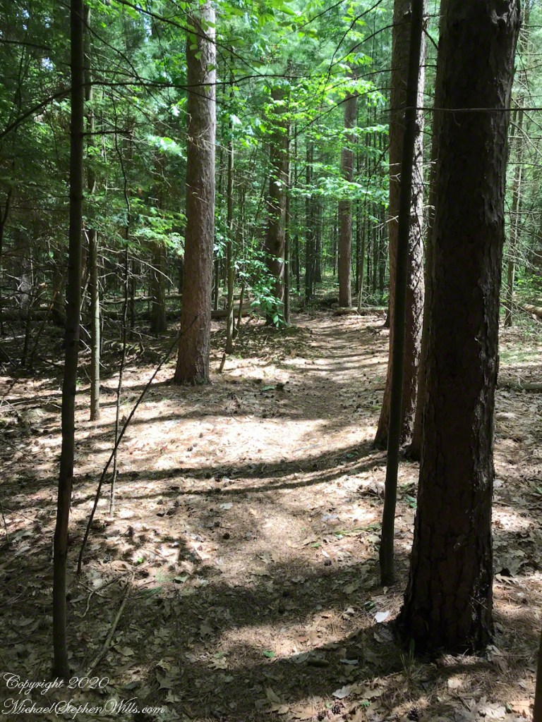
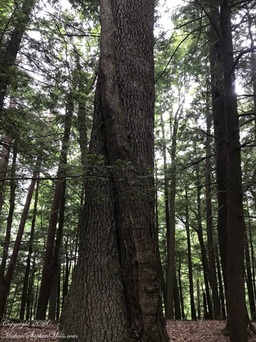
I cross a nameless stream to the trail head, follow this stream uphill to where it cuts into the slope where the trail turns sharply and climbs into the pines.