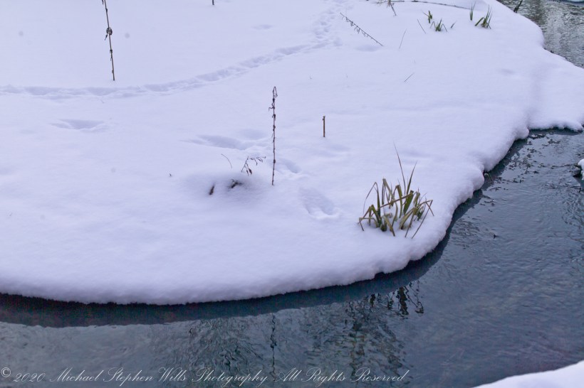
Snow under the gathering light of February, edges rounded by sunlight. Can you identify the animal tracks?

All were from a tripod mounted Kodak DSC pro SLR-C with the Canon lens EF 50mm f/1.4 USM
Meadow Idyll
Snow under the gathering light of February, edges rounded by sunlight. Can you identify the animal tracks?
All were from a tripod mounted Kodak DSC pro SLR-C with the Canon lens EF 50mm f/1.4 USM

Meadow Idyll
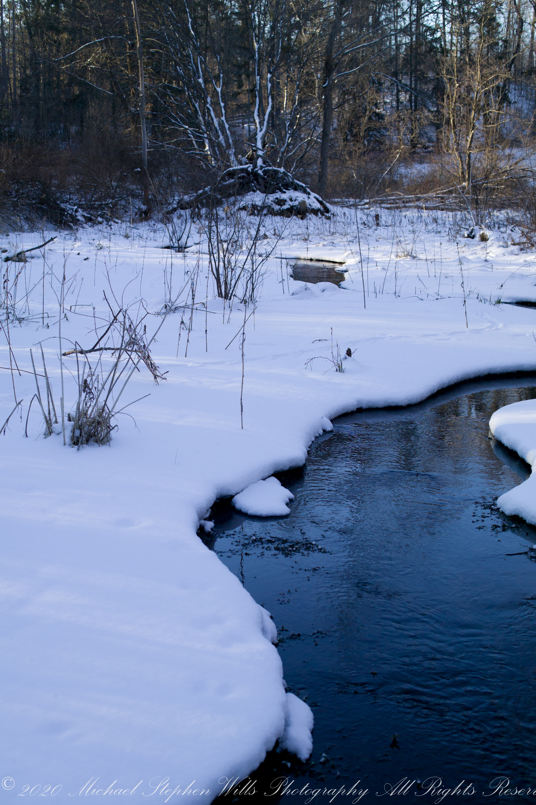
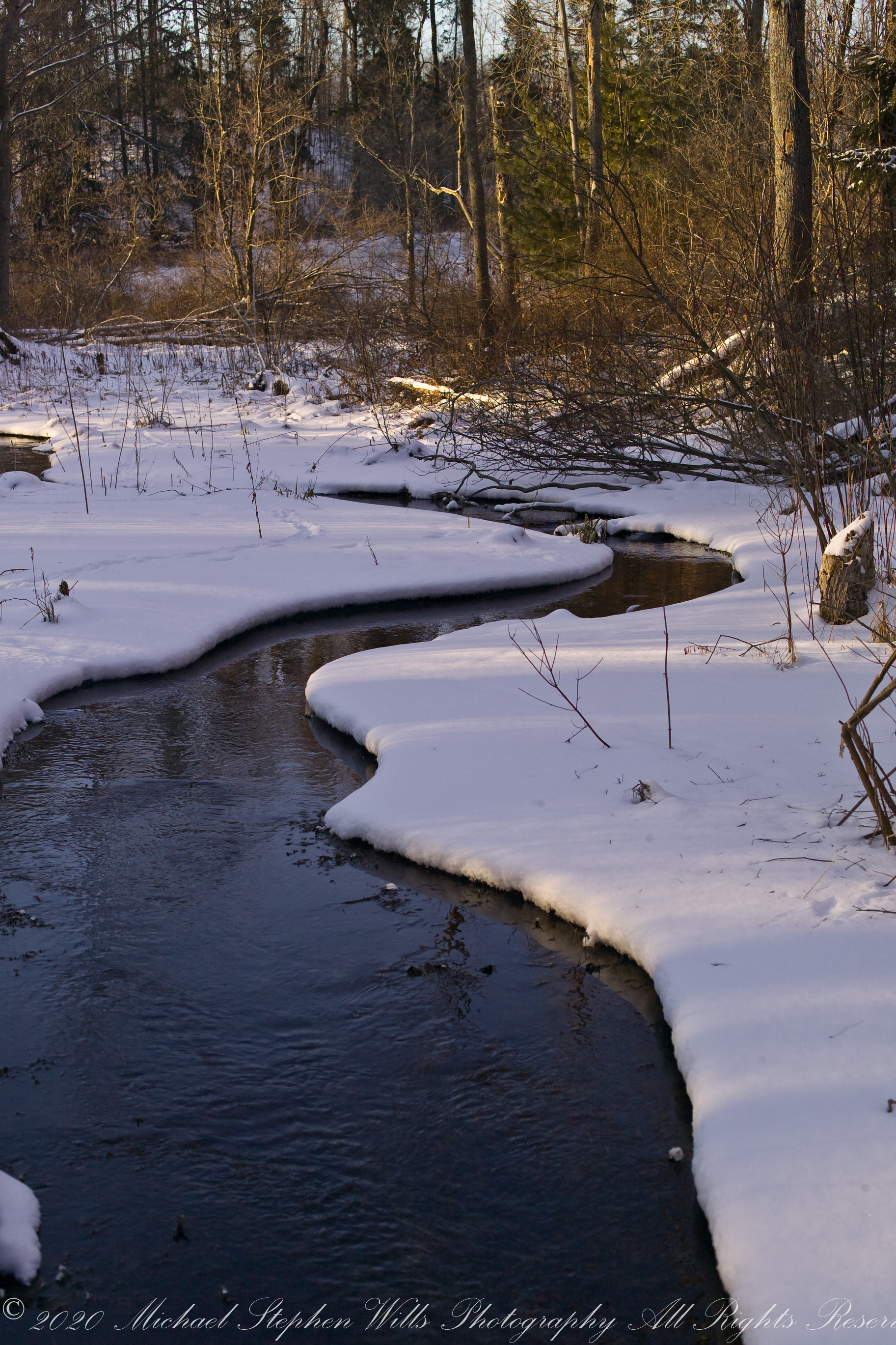
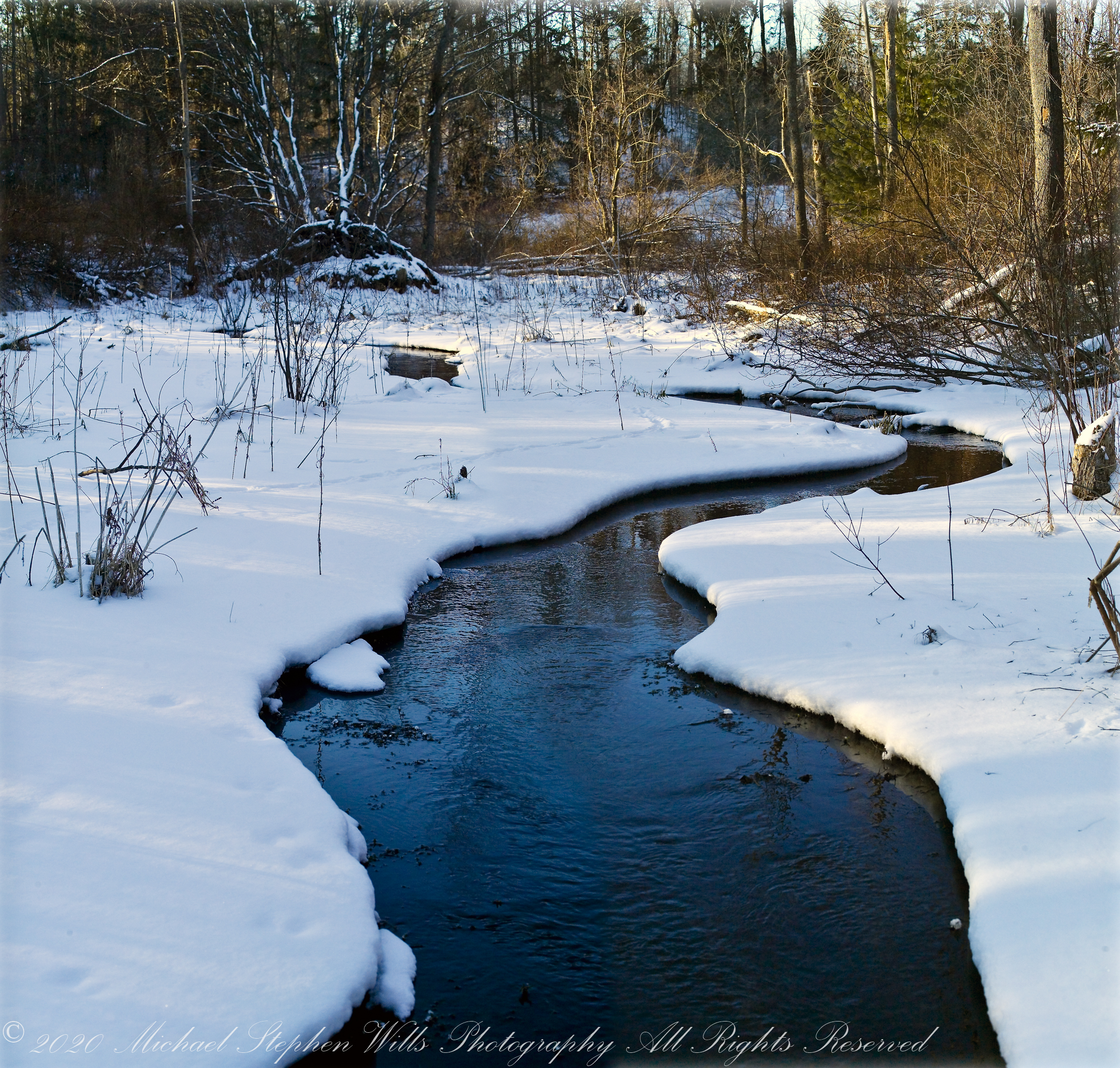
The glacial marls through which this water flows to emerge here clear and pure were under threat from development in the 1980’s and 1990. Thanks to the efforts of the landowner, the uniqueness of this environment was preserved.
The first two photographs are combined and enhanced in photoshop to yield the third, combination, photograph.
All were from a tripod mounted Kodak DSC pro SLR-C with the Canon lens EF 50mm f/1.4 USM
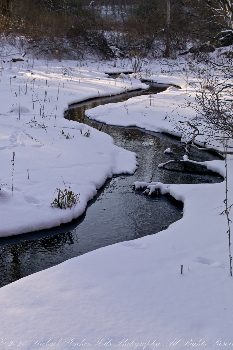
Meadow Idyll
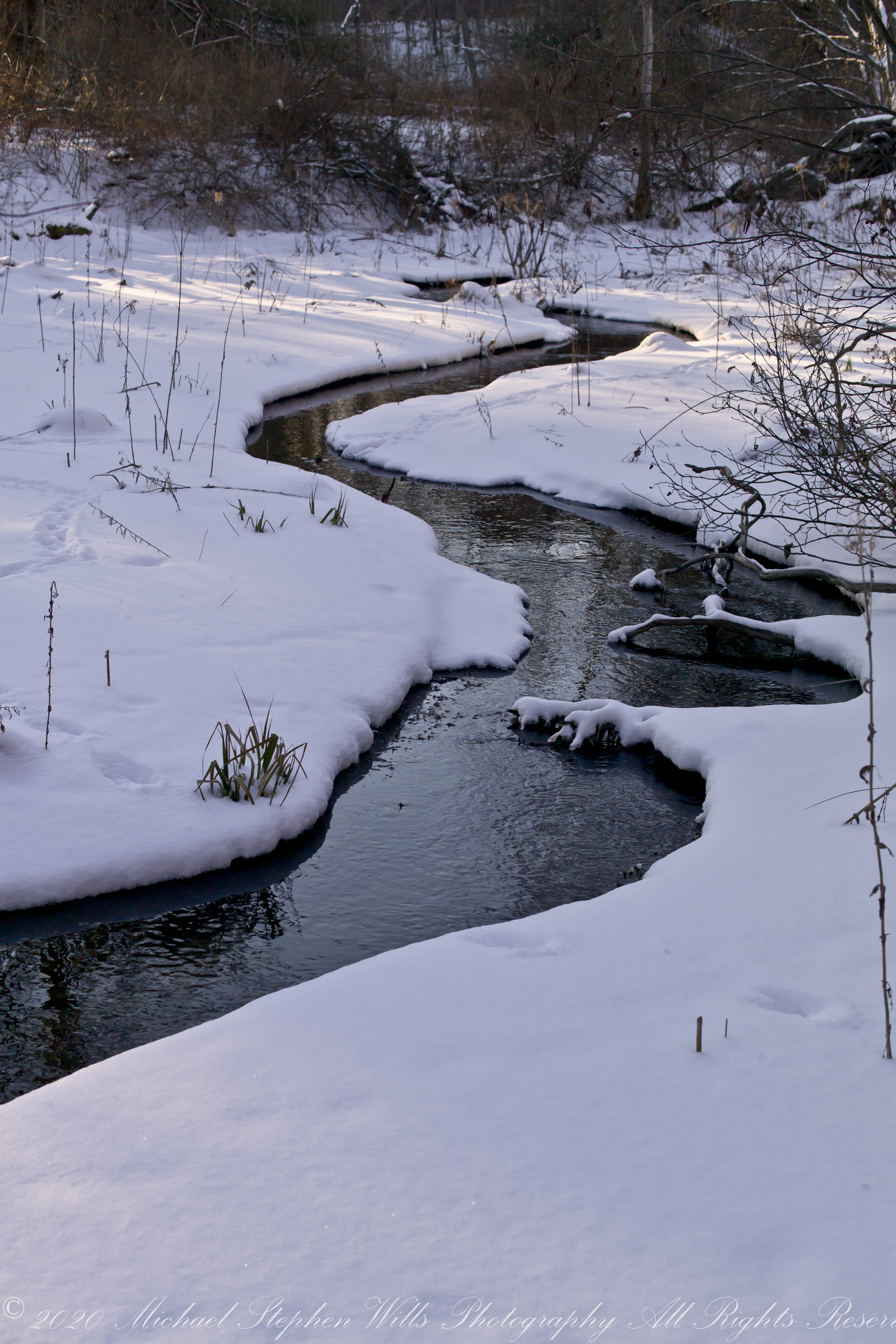
This water emerges from glacial marls, pure and clear, before flowing into a kettle pond. Here we see it on a winter afternoon meandering across a meadow before joining the Fall Creek of the previous postings of this week.
The first two are the same photograph. One has been enhanced in Photoshop. The other was perfected in Lightroom. The third is a different photograph taken about the same time, also peracted in Lightroom.
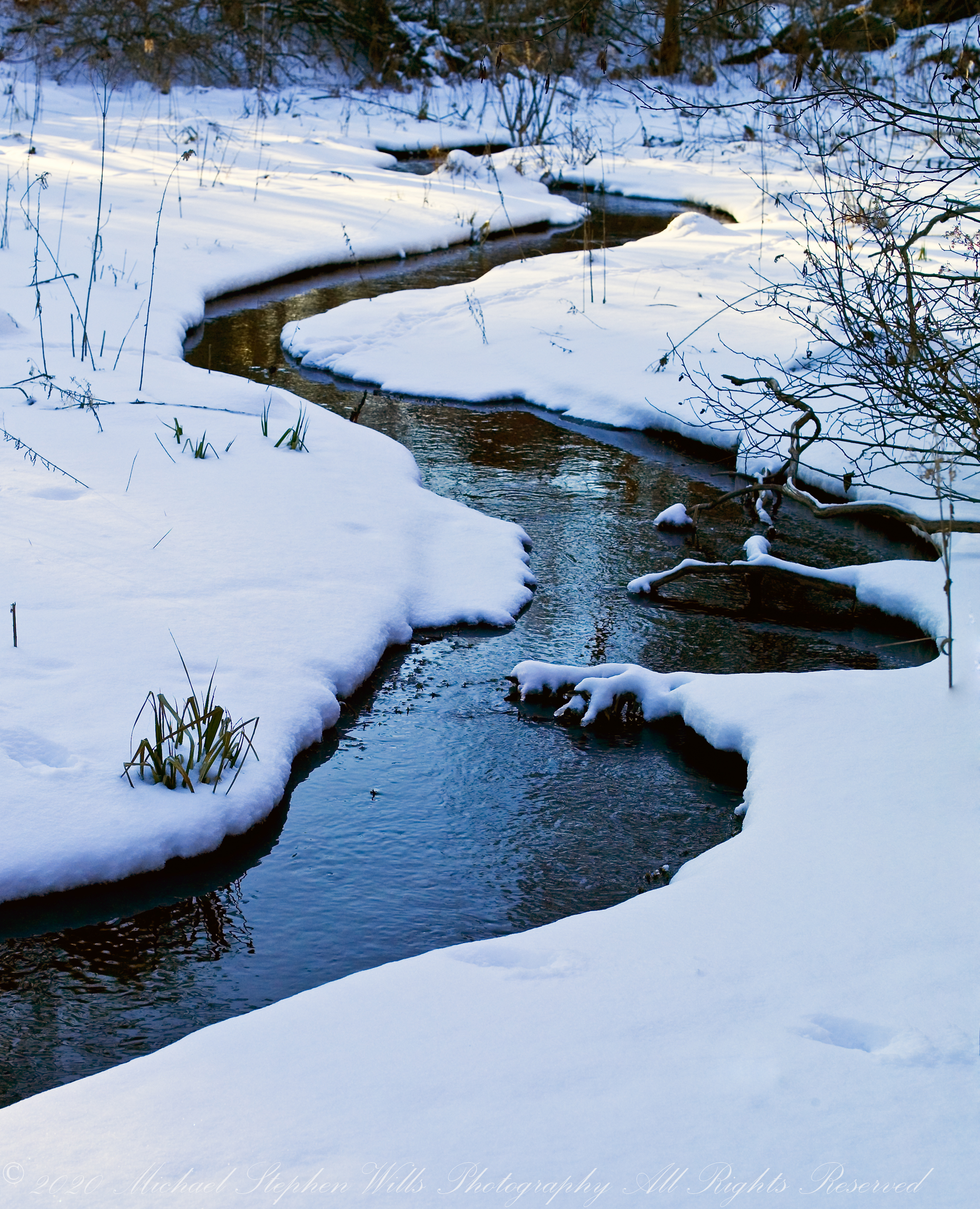
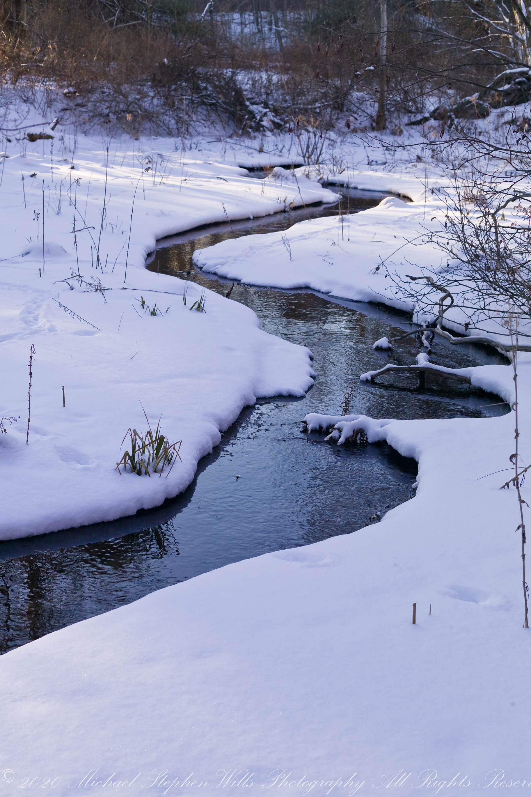
All were from a tripod mounted Kodak DSC pro SLR-C with the Canon lens EF 50mm f/1.4 USM
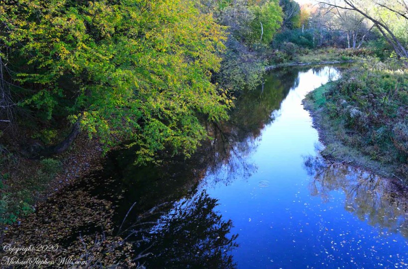
from abandoned railroad bridge
Fall Creek meanders through the esker fields of the Malloryville Preserve. Here is the view from an abandoned railroad bridge. A major watercourse of the Finger Lakes, throughout the 19th century Fall Creek provided water power for local industry: grain grinding mills, cooperage and furniture. Here the stream bed is wide, flow slow and pacific for a mirrored surface, the effect broken by a single drop from an overhanging tree or, maybe, a fin’s flash.
Pam and I visited Malloryville last weekend to enjoy a “socially distanced” walk with family.
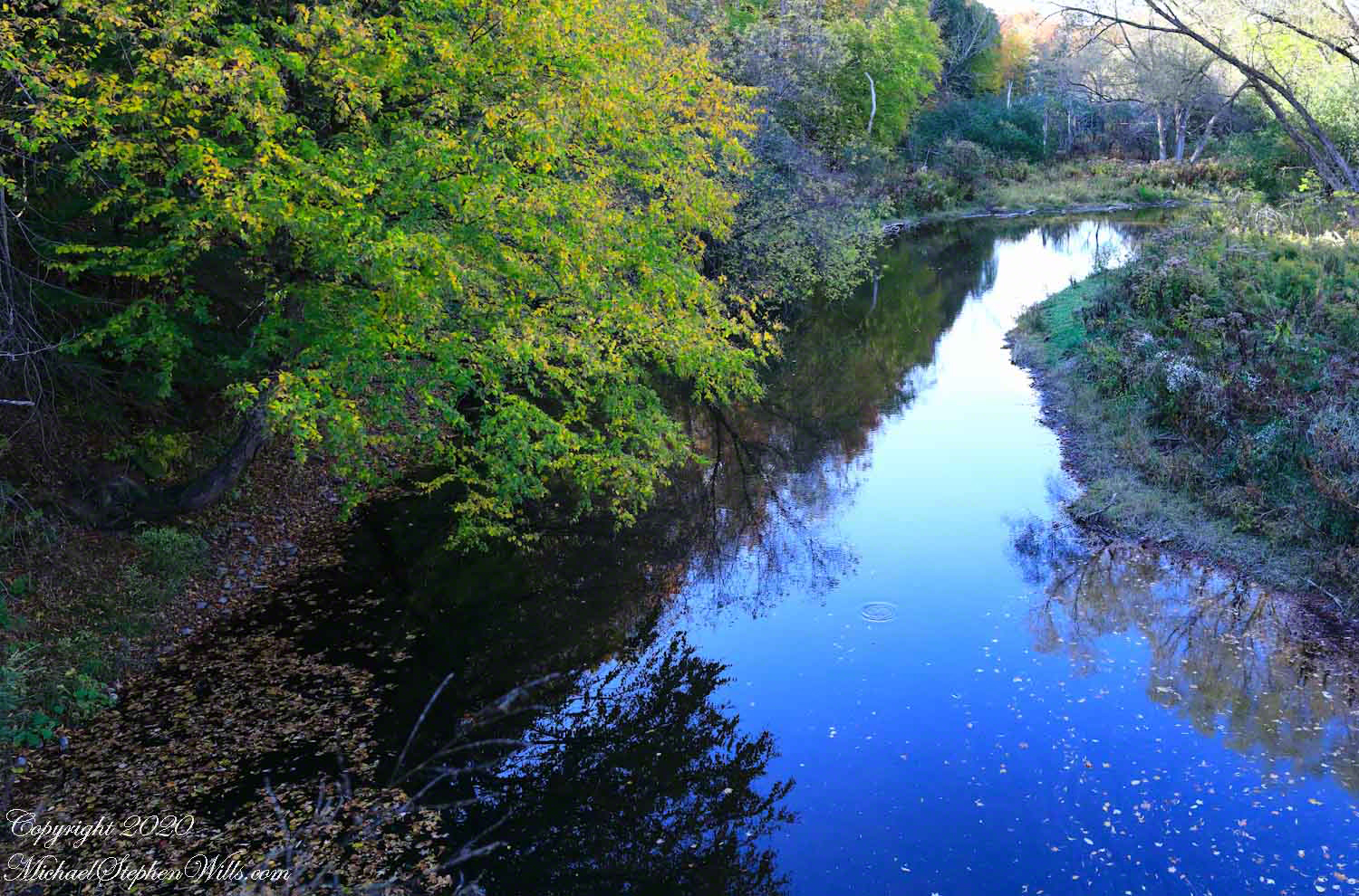
Click Me for another Malloryville post, “Formed By Water.”
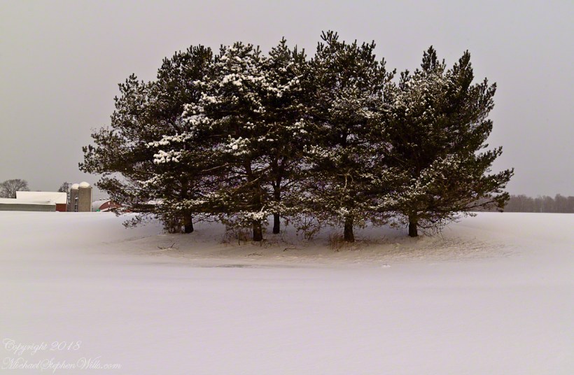
two captures during a time of lengthening days to welcome March 2022
Here are two offerings from winters past.
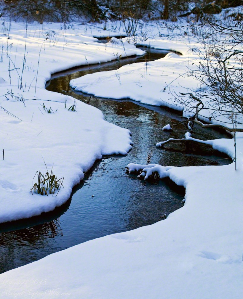
Click this link for my Fine Art Gallery
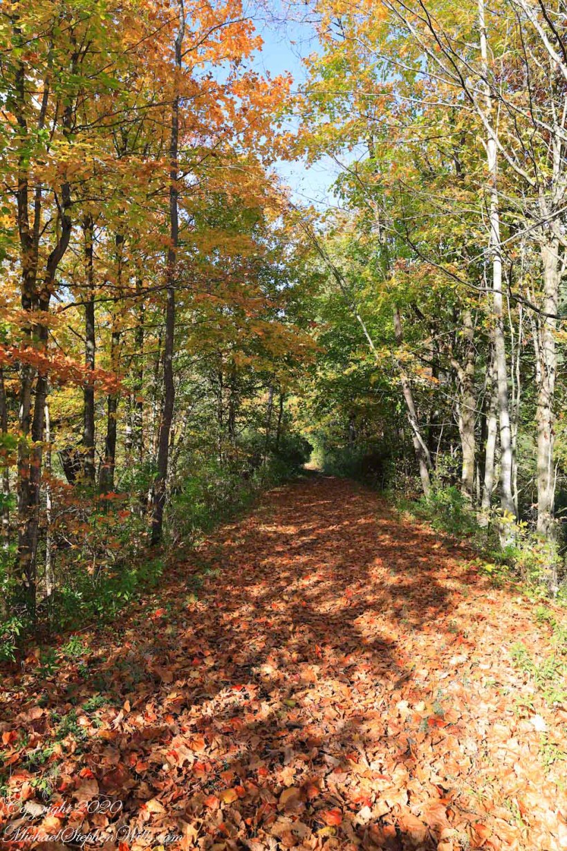
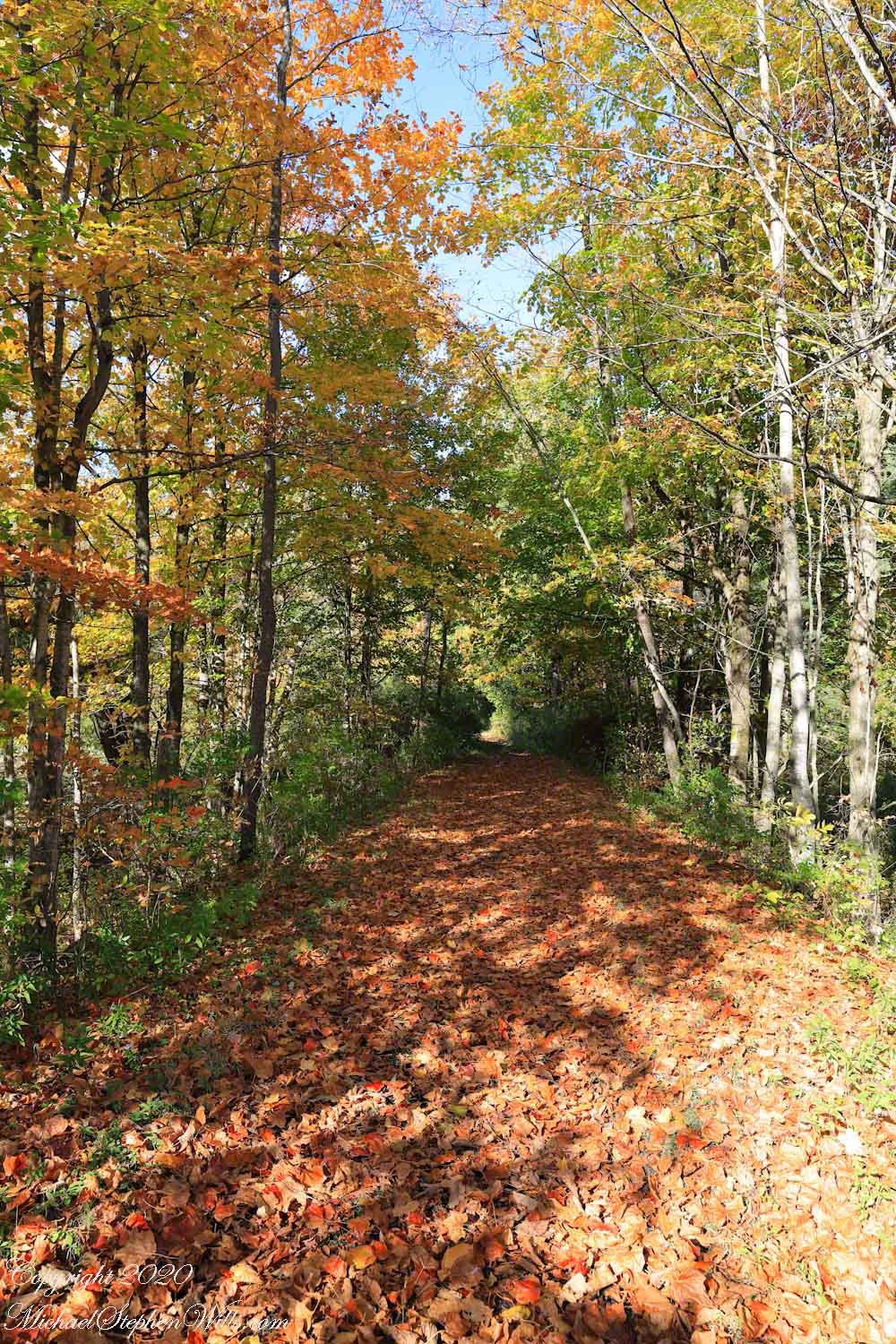
just around the corner
What is there, just beyond?
Click Me for another Malloryville post, “Formed By Water.”

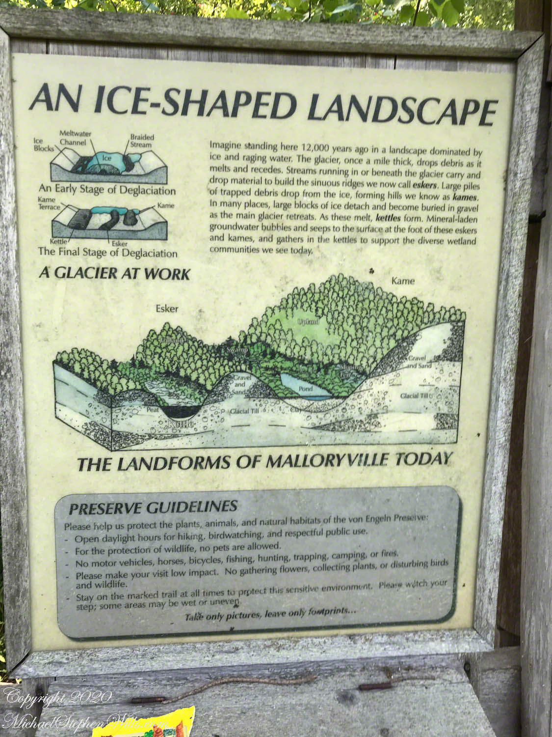
Kettle and Kame Topography
Hard on the defunct gravel pit of the northwest side of the preserve is the deposit of glacial rocks washed to some extent by melting ice the former owners of the pit were turning over for profit with the averted result of destroying the water sources for the ecosystems of the future preserve.
The deposit is called a kame. Kames are the obverse of kettles, formed with an enormous remnant of glacial ice melts in place leaving a substantial depression. A kame is formed when earth gathers in a depression formed by meltwater running over a glacial surface. When the glacier melts (in this area the ice wash a mile high), the washed earth is left as a steeply sided pile we experience as a hill.
Water flowing beneath glaciers forms the long, ridged hills, eskers, we explored in yesterday’s post.
The forested land of this video the kame, upper left, shown in the header, an IPhone7 photograph of GoogleEarth. Also marked is a path for the primary esker, the bog formed by a kettle and another kettle that is now a pond. Click me to view a pdf file saved from GoogleEarth. It provides a clearer view of the header image.
Click me for better experience viewing the following video. To do this from WordPress Reader, you need to first click the title of this post to open a new page. Note the replay icon (an arrow circling counter-clockwise.
Click Me for the first post of this series.
Thank You for visiting. Here is a recapitulation of Malloryville Preserve.
A Look at an Esker
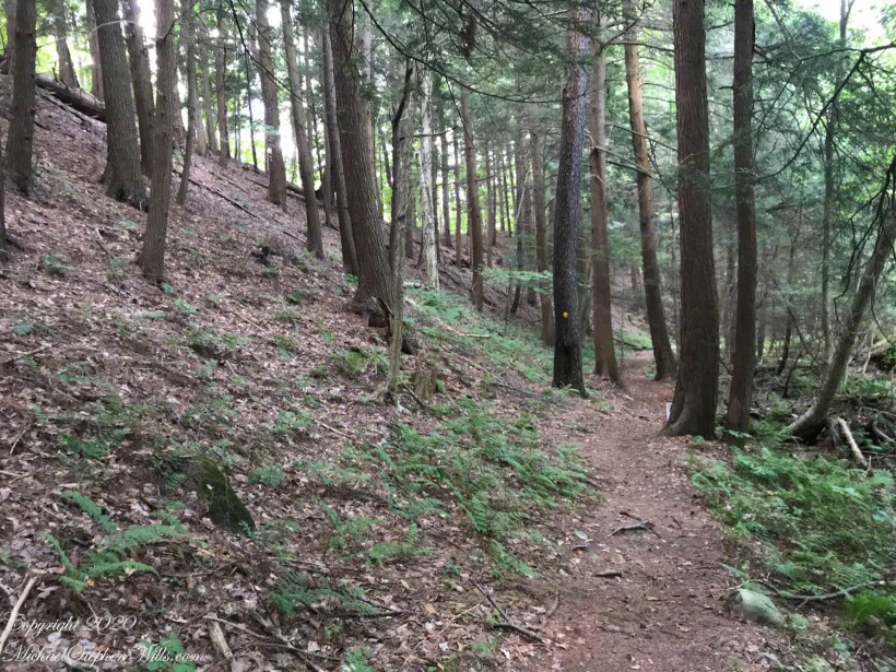
Well formed, sinuous, graded on both sides, eskers can be mistaken for man-made earthen structures, such as railroad embankments. Here is an example, nine-tenths (0.9) of a mile long substantial enough to direct the flow of Fall Creek. On entering the Malloryville esker bed the stream makes a right angle turn.
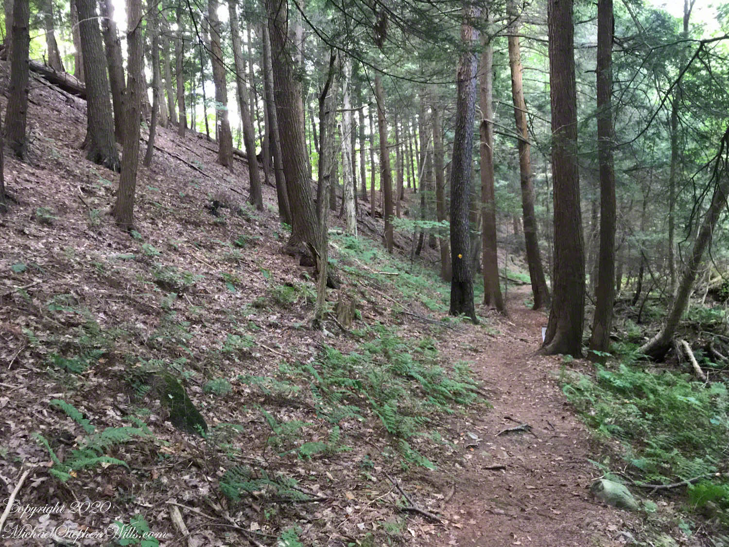
Here we are at the foot of the primary esker of Malloryville Preserve (it is marked as such on the information placard of this series first post). The slope to the right is the esker. A swamp lies to the right.
This video provides a better feeling for this esker.
Click me for better experience viewing the following video. To do this from WordPress Reader, you need to first click the title of this post to open a new page. Note the replay icon (an arrow circling counter-clockwise.
Click Me for the first post of this series.
Flowers from Mars
Two kettles of the preserve represent a pond and, below, a bog. Here is a photograph from the observation platform using the IPhone 7. I brought along the Canon dslr and 100 mm “macro” lens for the stars of this show…..
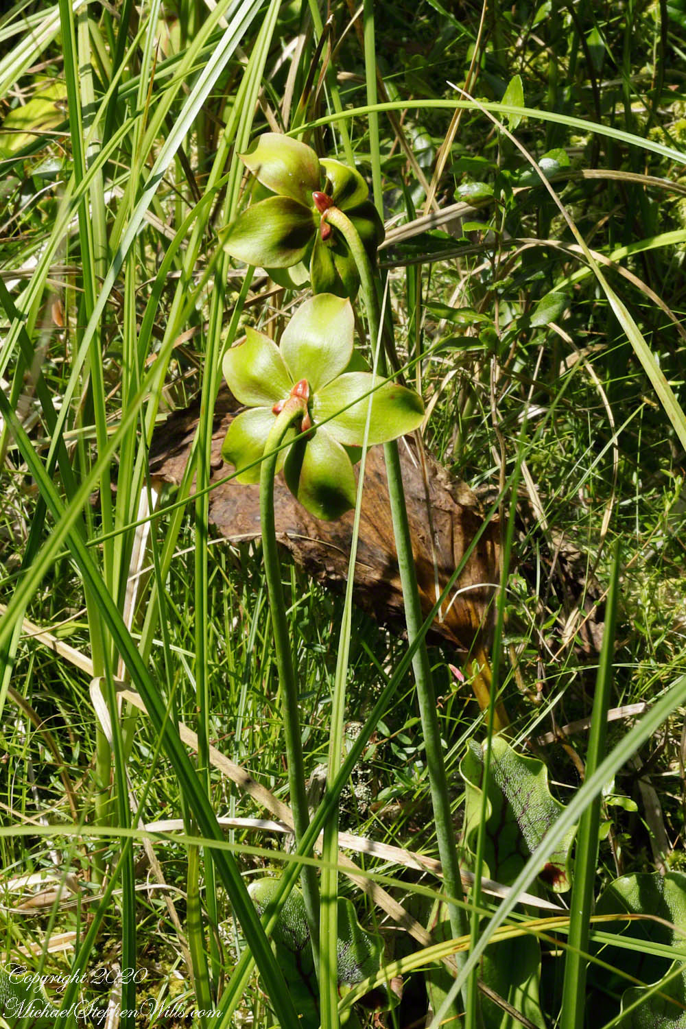
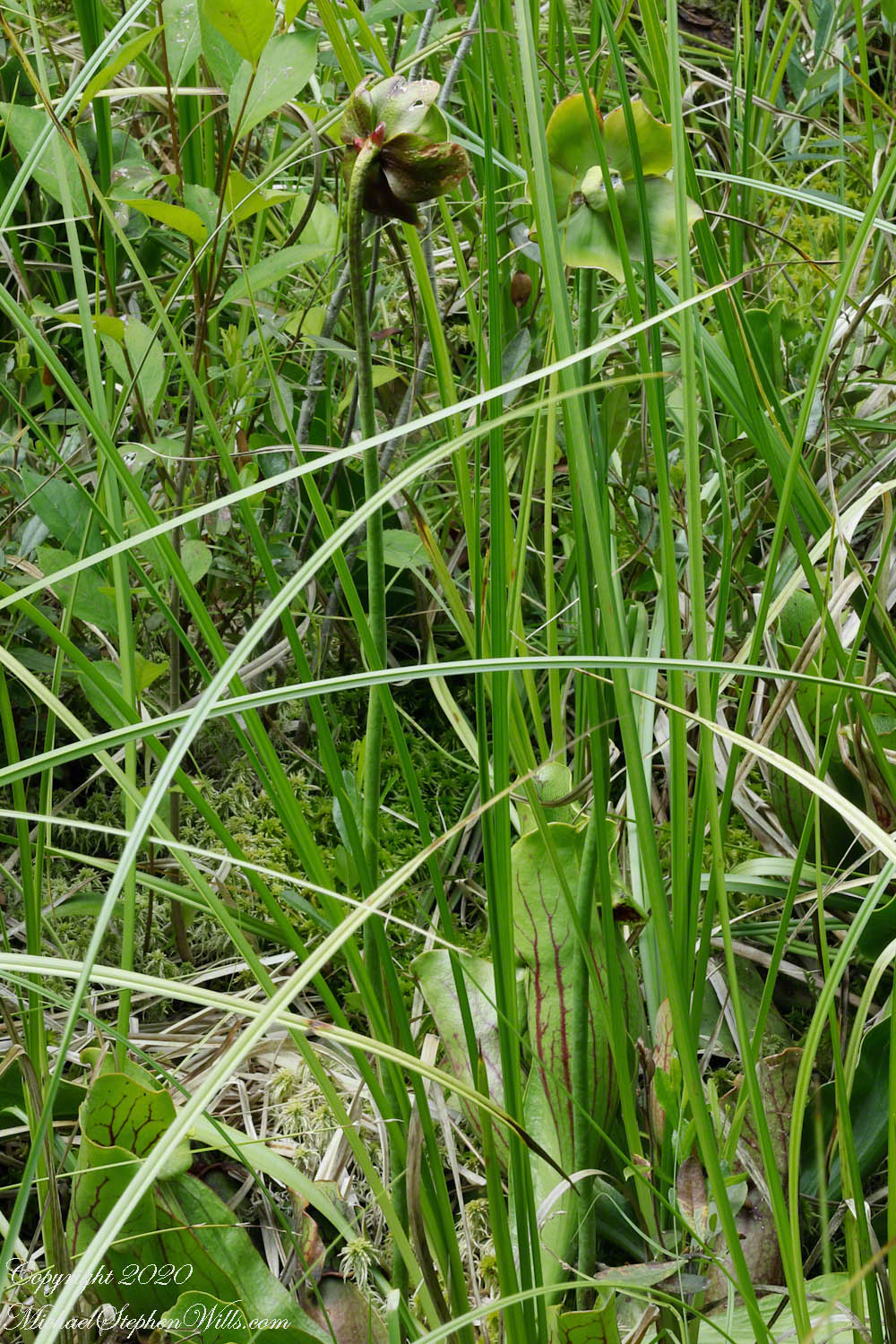
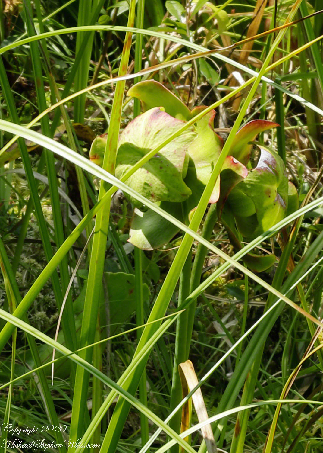
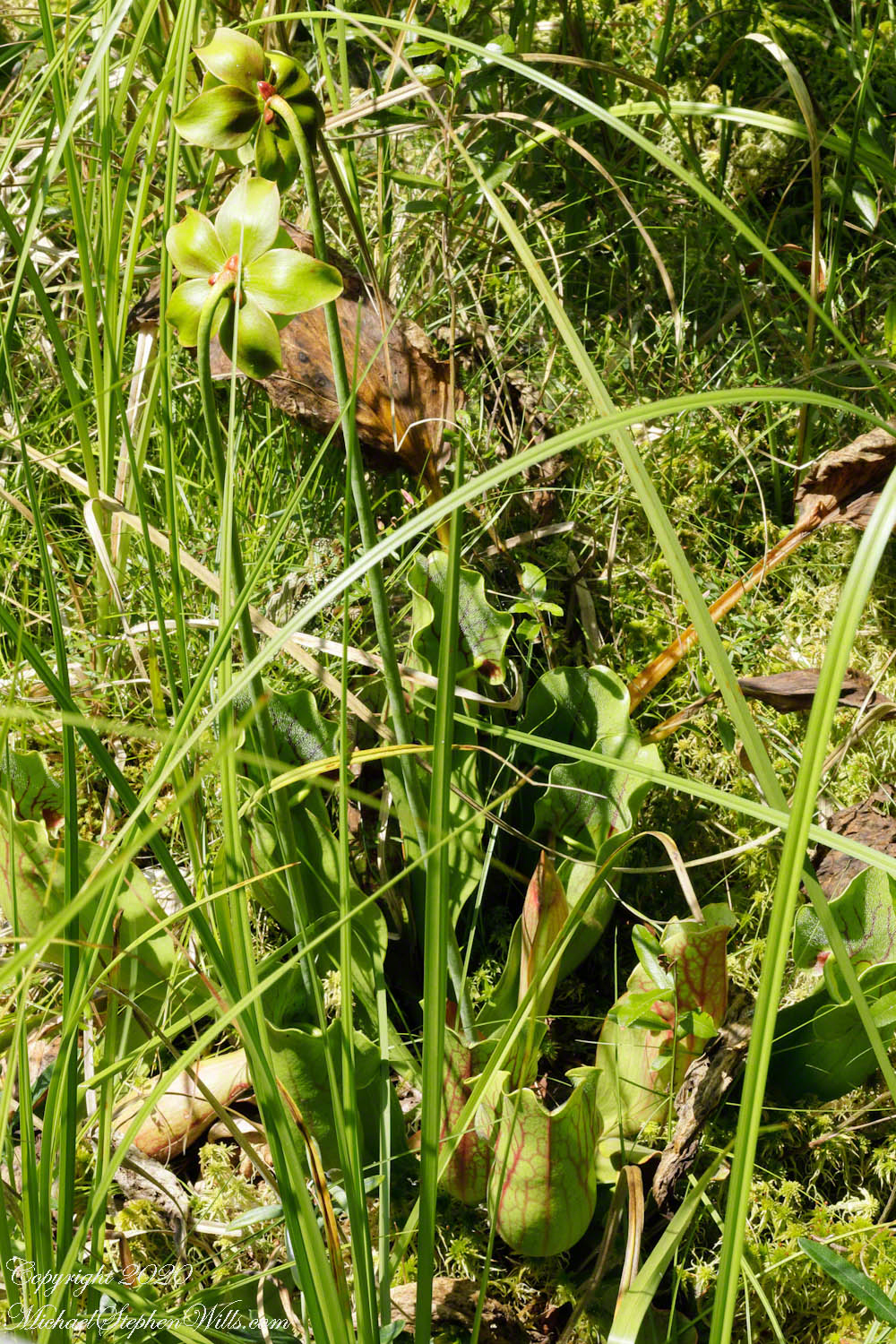
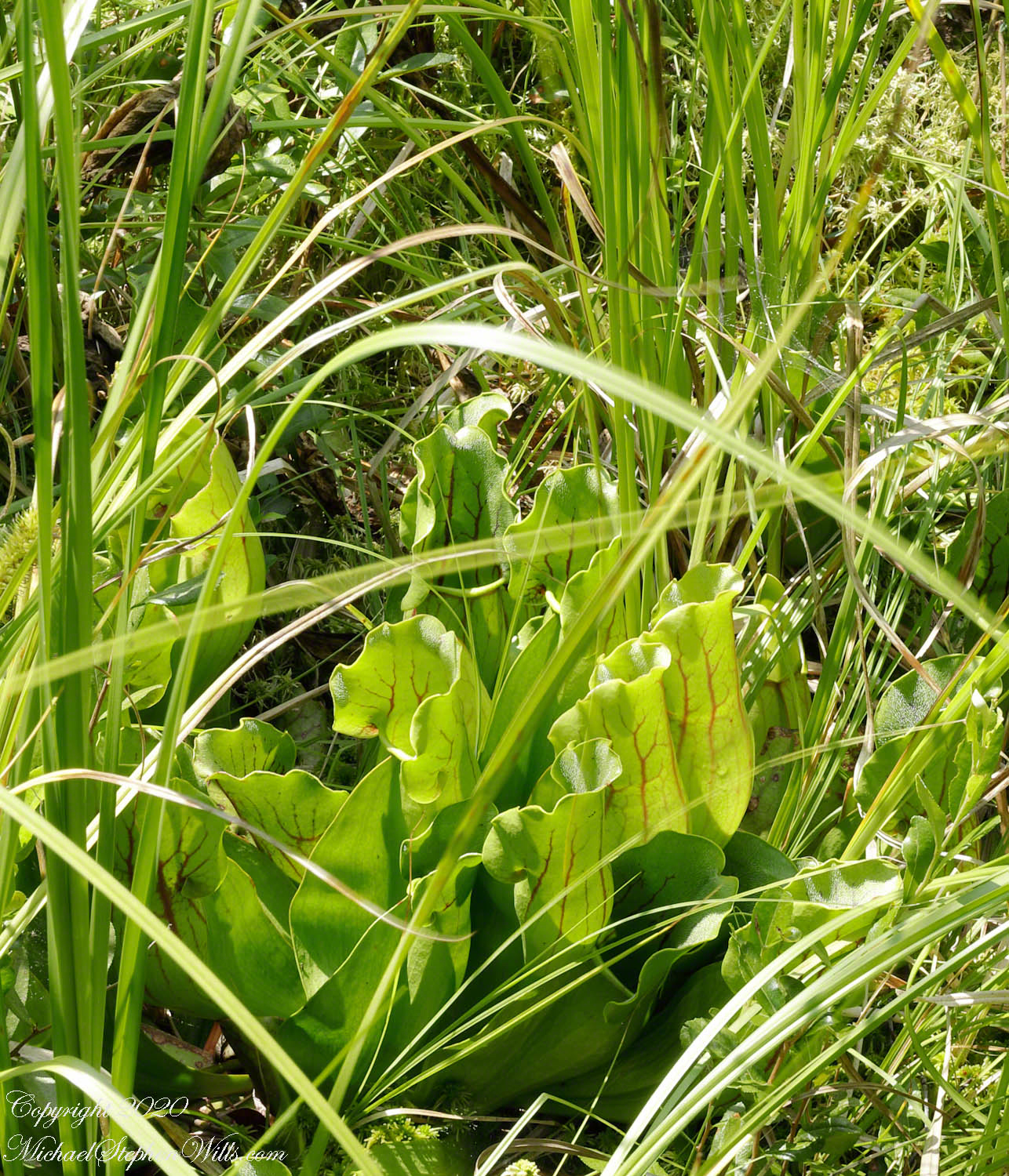
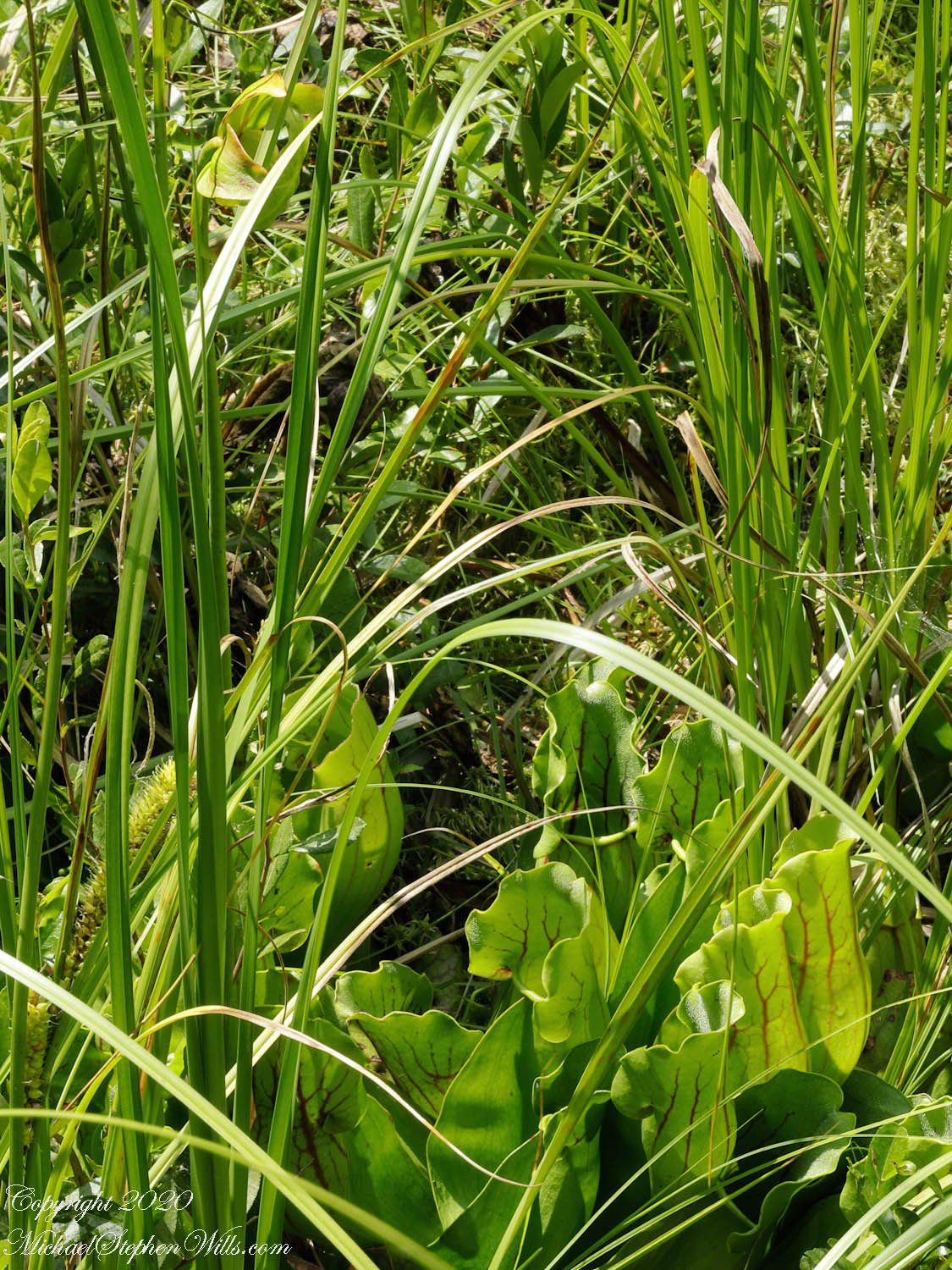
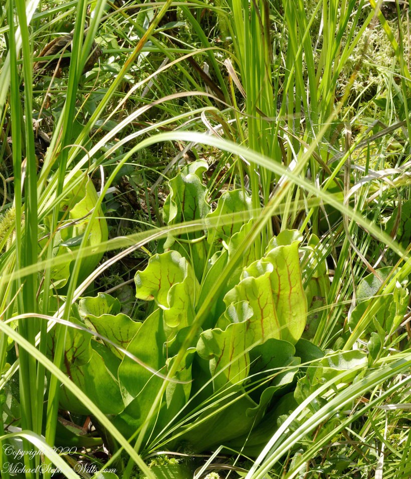
….purple pitcher plants (scientific name: Sarracenia purpurea). In past years, the central observation deck cut-out, hosted healthy pitchers. Today, invading high bush blueberries from the bog margin, crowded out the pitchers and the only flowering plant were among the grasses 8 to 10 feet away. My goal was photographing the extraordinary flowers.
Each flower rises from the base on a strong stalk. Here are the pitchers, also called “turtle socks”, flooded with sunlight.
A flower unlike any I have experienced, like the carapace of an insect, the reproductive element underneath a hood.
The posterior, there are only bracts.
I have, somewhere, macro images of the pitcher, with the downward facing hairs. Brought the wrong lens to capture this at a distance.
Click Me for the first post of this series.
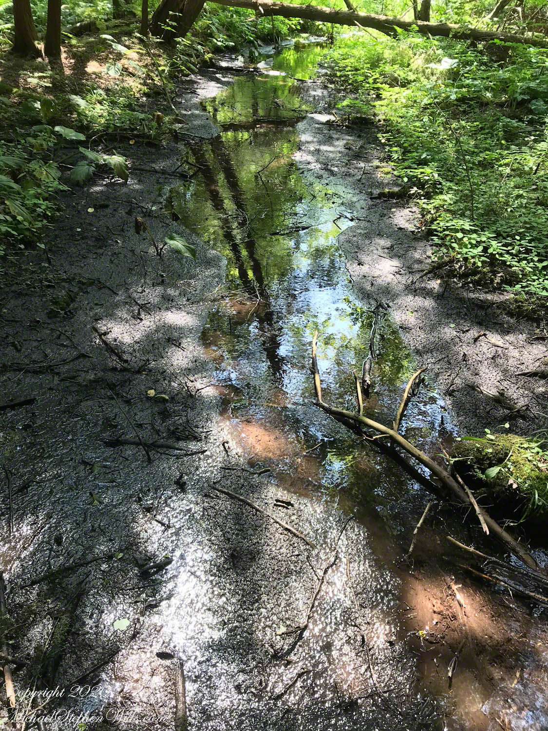
Water flowing from glacial till
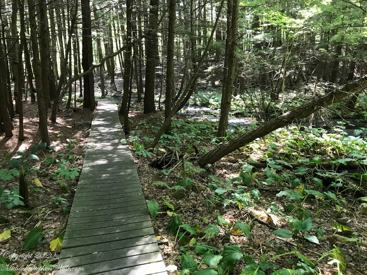
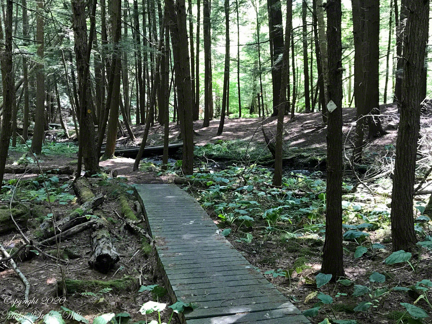
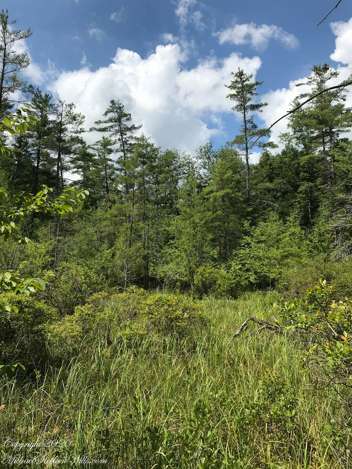
Amazingly swamp, fen, bog, marsh can all be experienced during a thirty minute walk within this preserve. Here we are traversing a swamp …
…buoyed along on planking from recycled plastic.
The founders of this place, from a dairy farming family, strove for years to protect the water sources from encroachment by development, primary a duplicate of a gravel pit found on the other side of the Fall Creek valley.
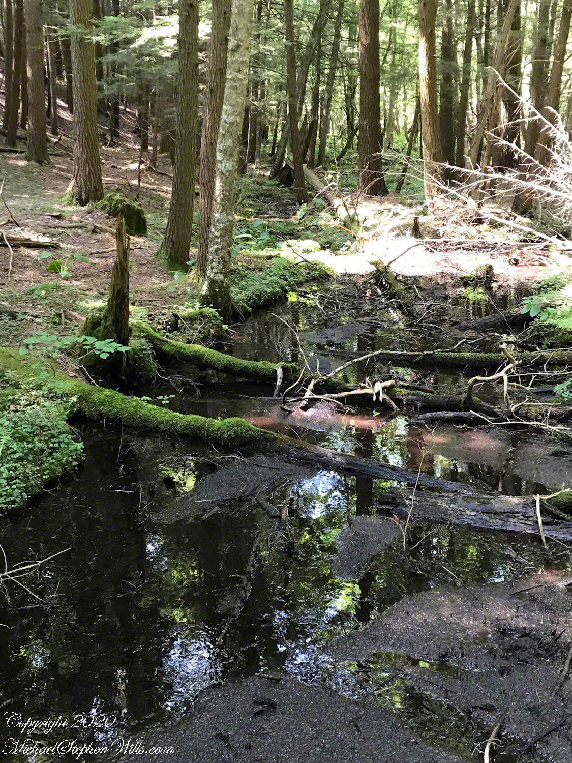
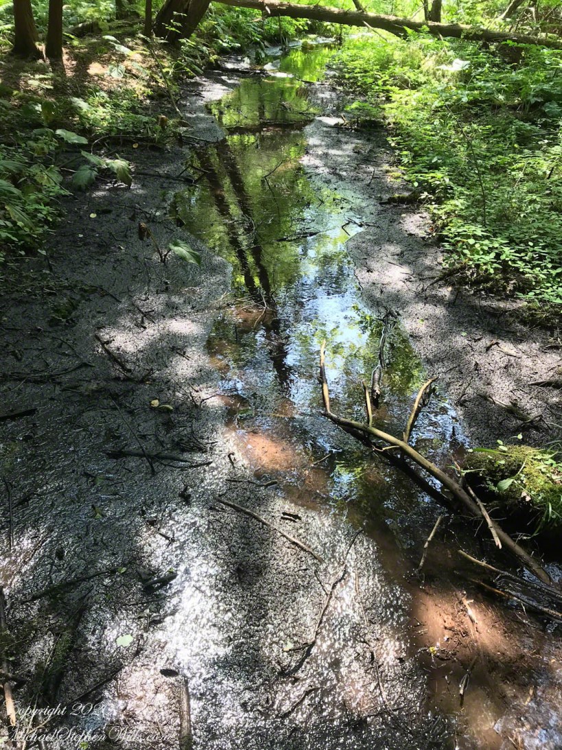
This former acidic rainwater, percolating through glacial till, is buffered and chemically altered to create these multiform environments.
Water, flowing quietly, almost soundlessly, with powerful effect.
Click me for better experience viewing the following video. To do this from WordPress Reader, you need to first click the title of this post to open a new page. Note the replay icon (an arrow circling counter-clockwise.
Click Me for the first post of this series.

