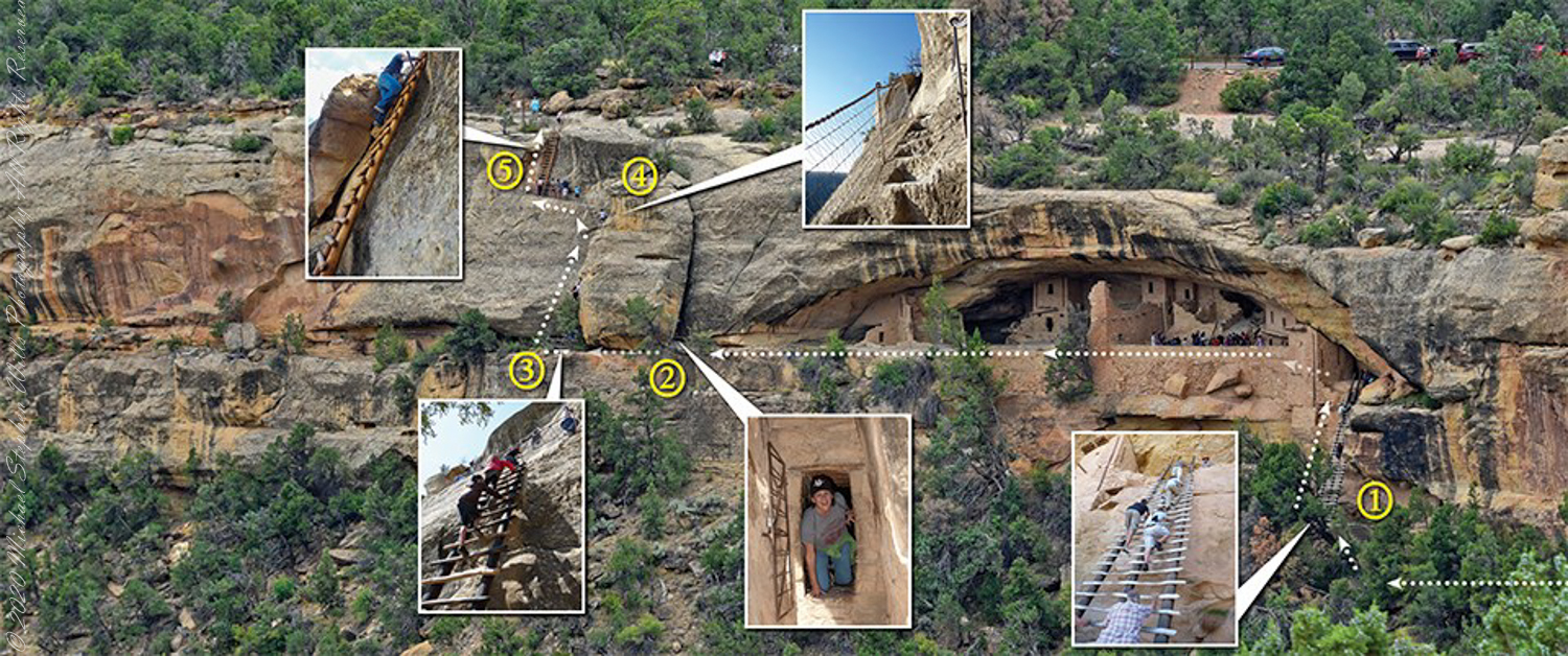
Overview
A visit to Balcony House is a 0.25-mile (0.4 km) hike. The tour requires walking down a 130-step metal staircase then, (1) climbing up one 32-foot (9.8 m) ladder to enter, two small ladders, and 12 uneven stone steps within the site.
(2) crawling through an 18-inch wide (46 cm) by 12-foot (3.7 m) long tunnel as you leave the site.
(3 – 5) ascending a 60-foot (18 m) open cliff face with uneven stone steps and two 17-foot (5 m) ladders to exit. Mesa Verde National Park, near Cortez, Montezuma County, Colorado.
Photograph and caption (above) is from the US Park Service, Mesa Verde, Balcony House tour web site
Click me for more Mesa Verde works in my Fine Art Gallery
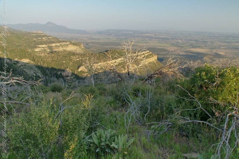
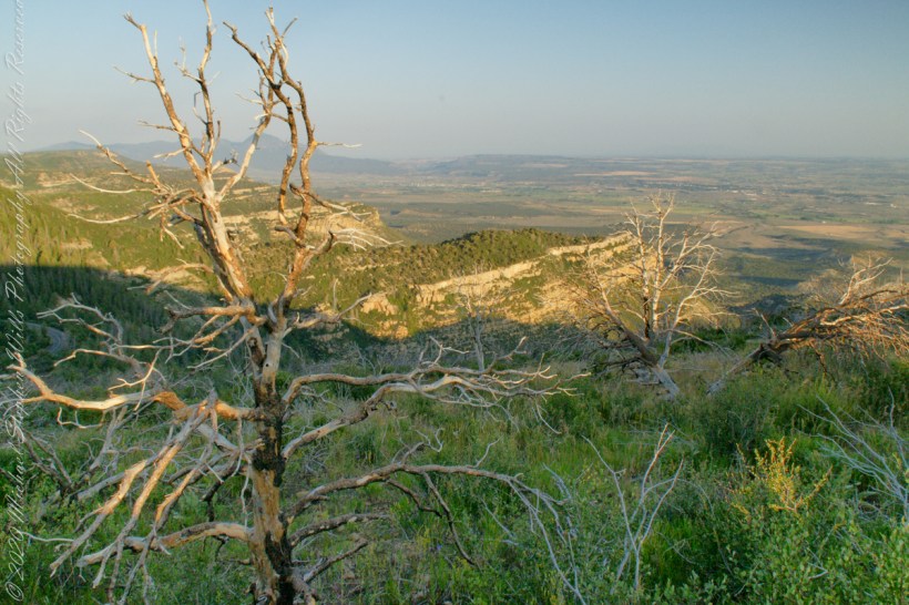
On the Mesa Rim
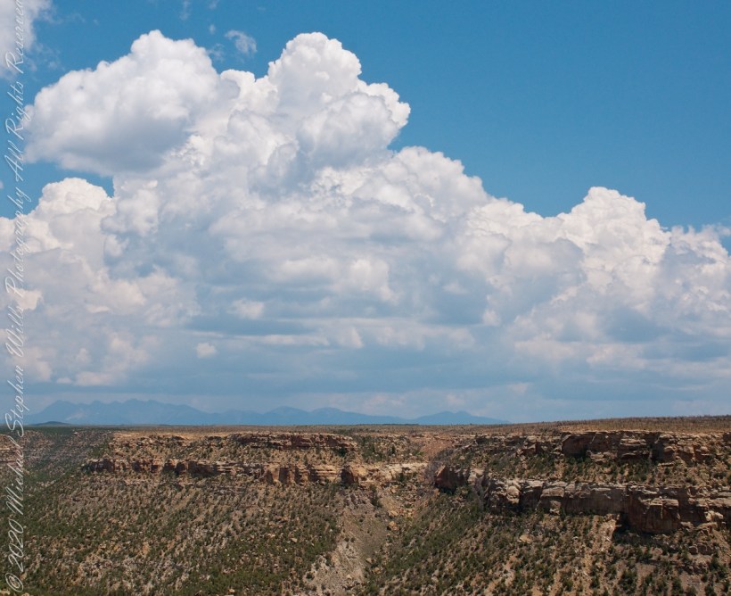
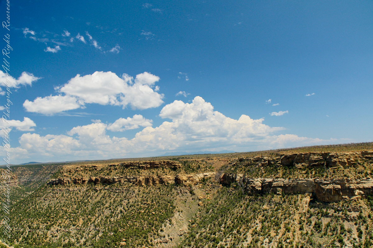
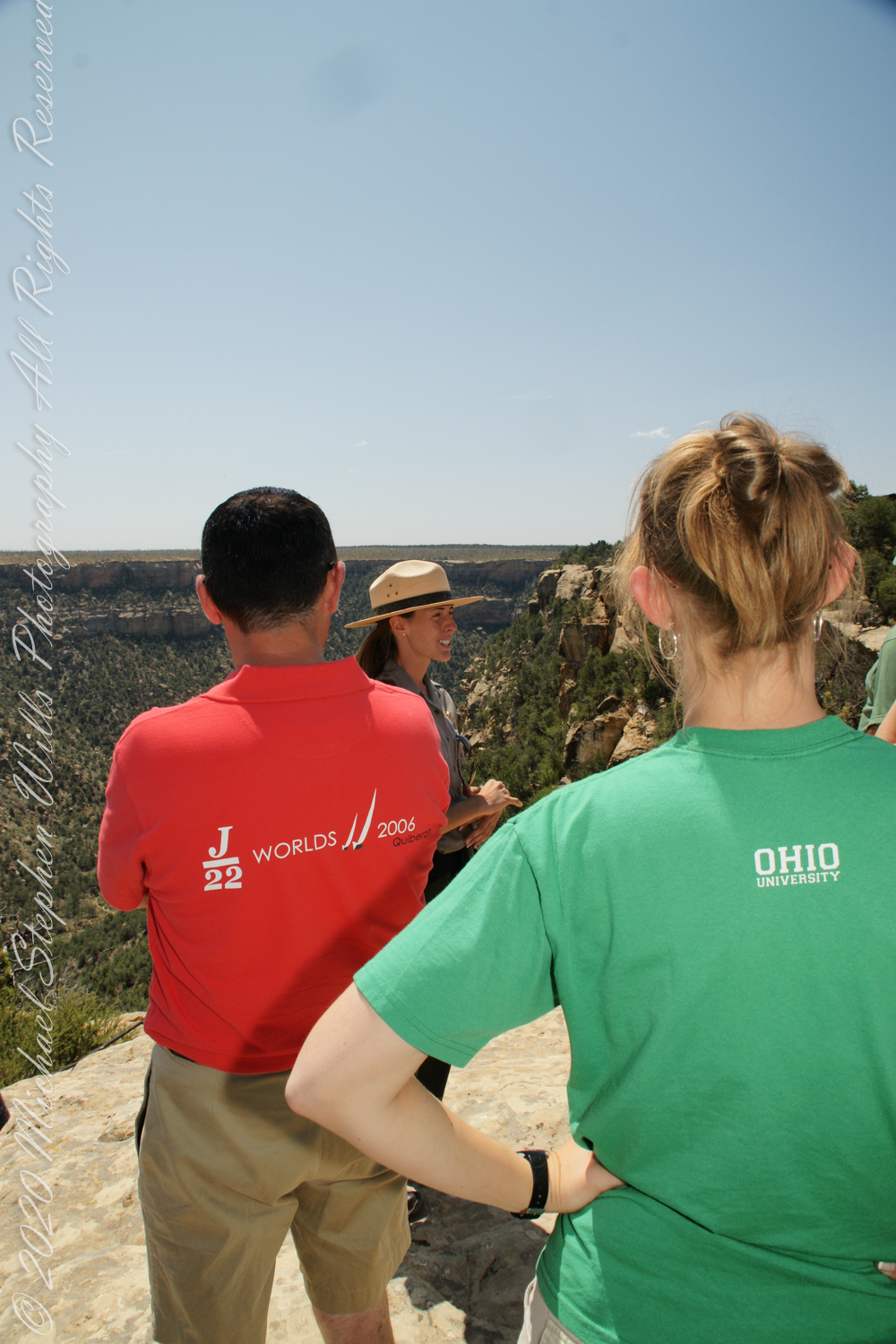
We purchased our timed tour ticket at the visitor center at the foot of the Mesa, essentially a flat top mountain rising dramatically from the surrounding plain. In the second photograph we are looking over the mesa rim overlooking Soda Canyon.
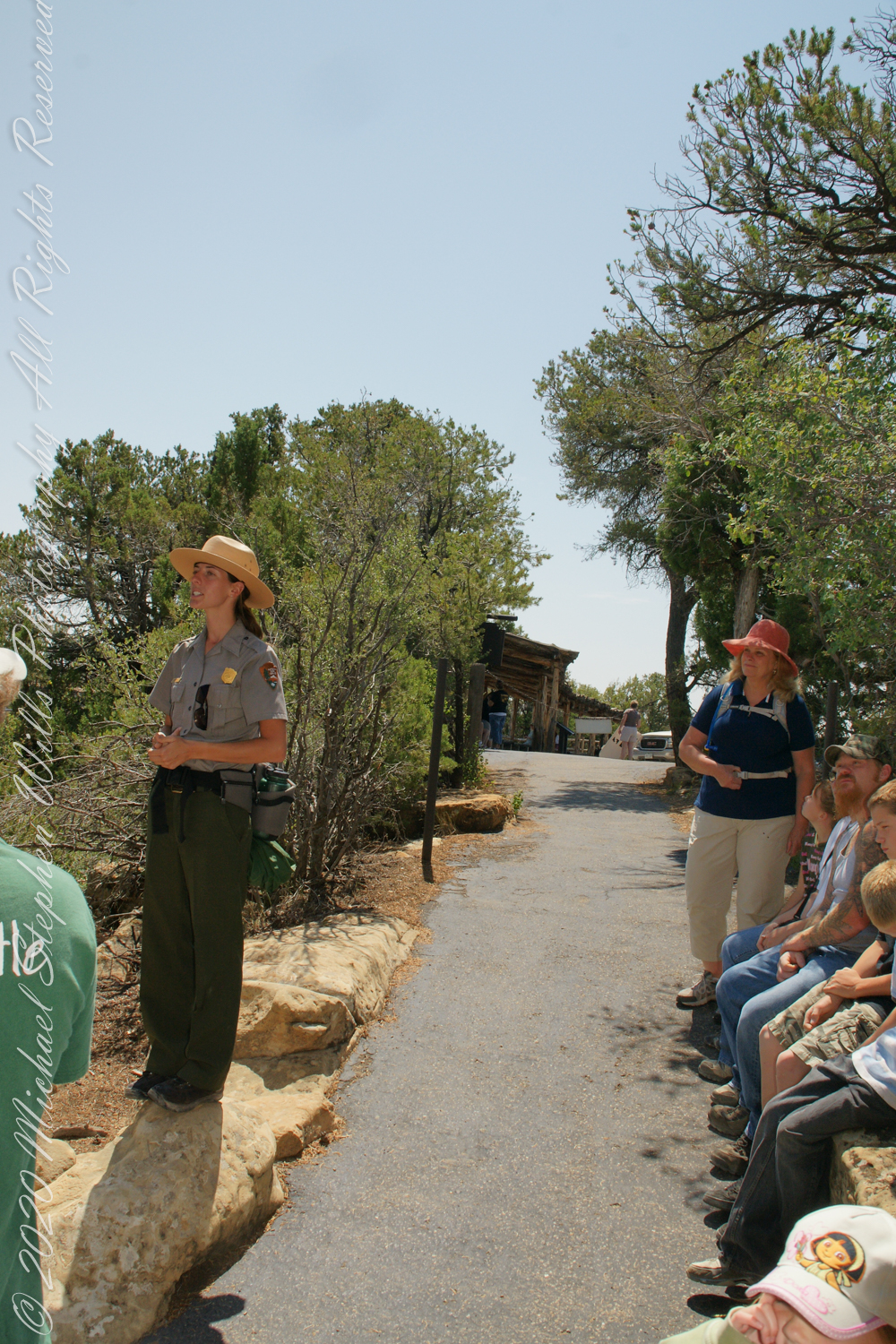
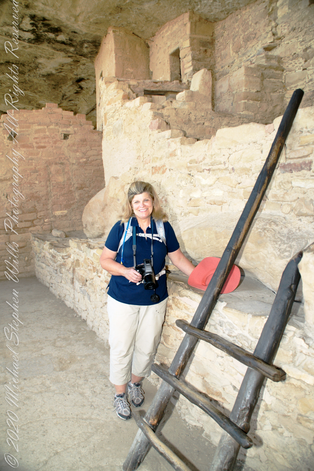
The tour is a small adventure, starting with a climb down into Soda Canyon and a climb up a 32 foot ladder. The ladder is solid and we had plenty of time to climb with one person ascending at a time. I was a bit overwhelmed by the experience and had my equipment tucked away for safety. I had to leave my sturdy tripod in the car. A more adventurous photographer captured the following ladder photograph.
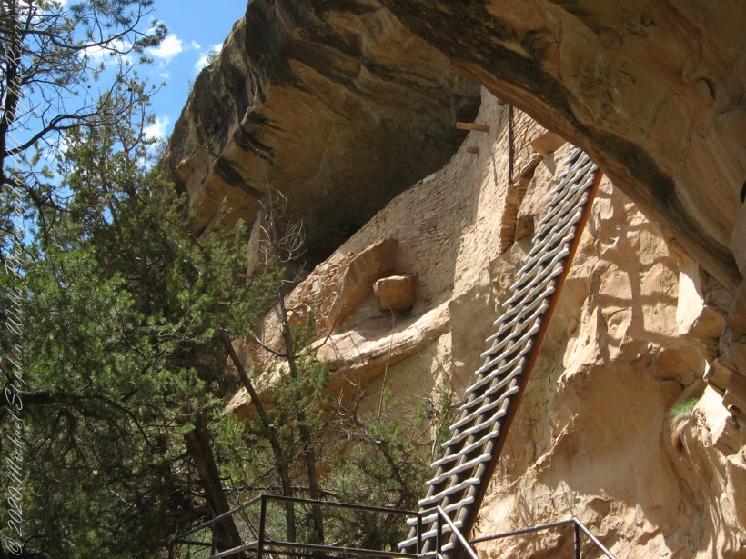
photo: Ken Lund, CC BY-SA 2.0
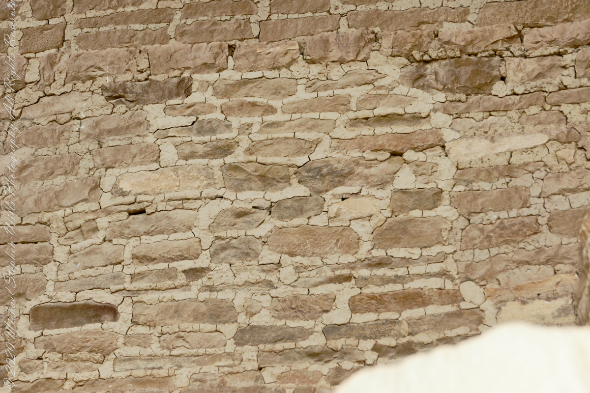
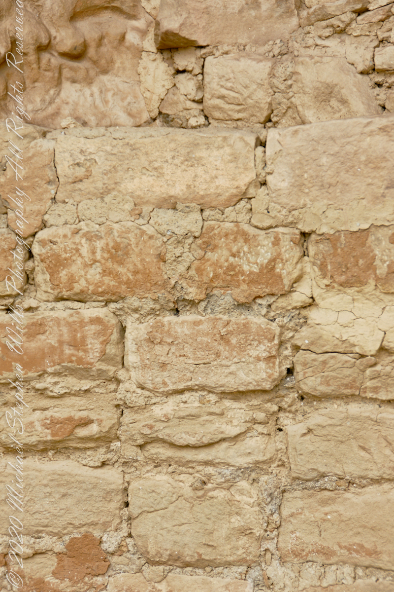
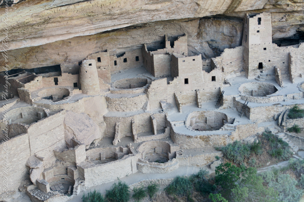
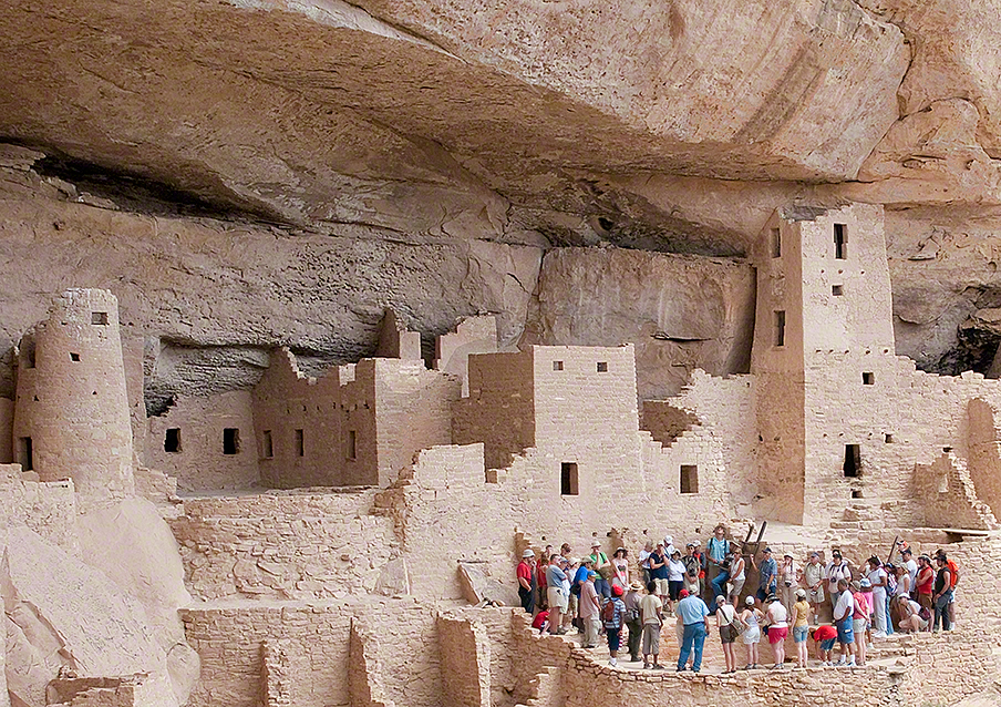
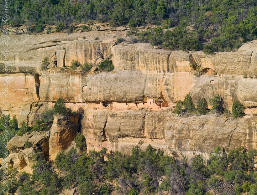
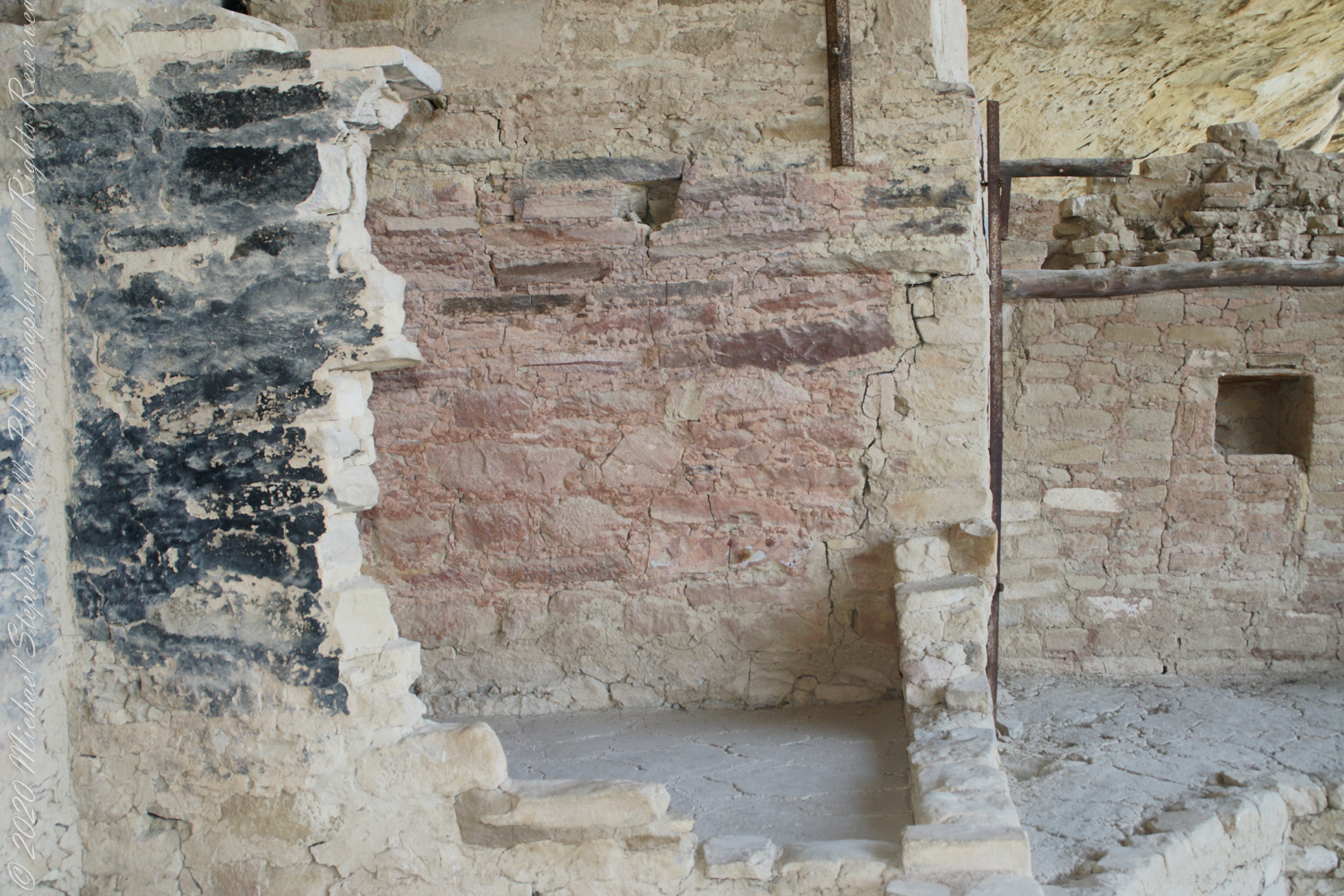
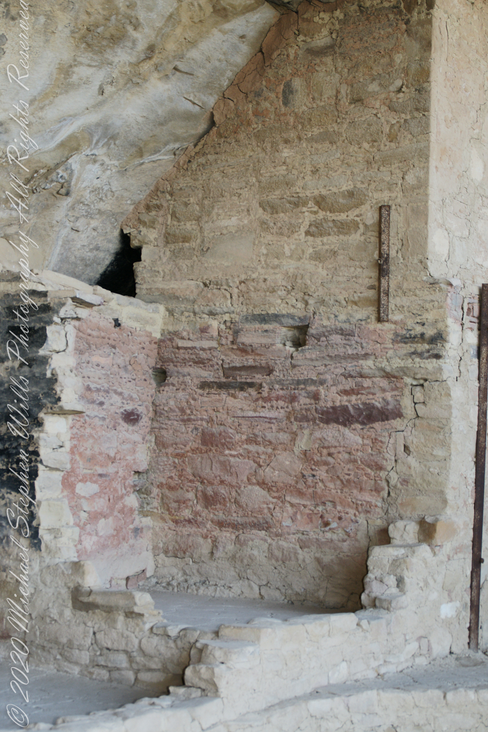
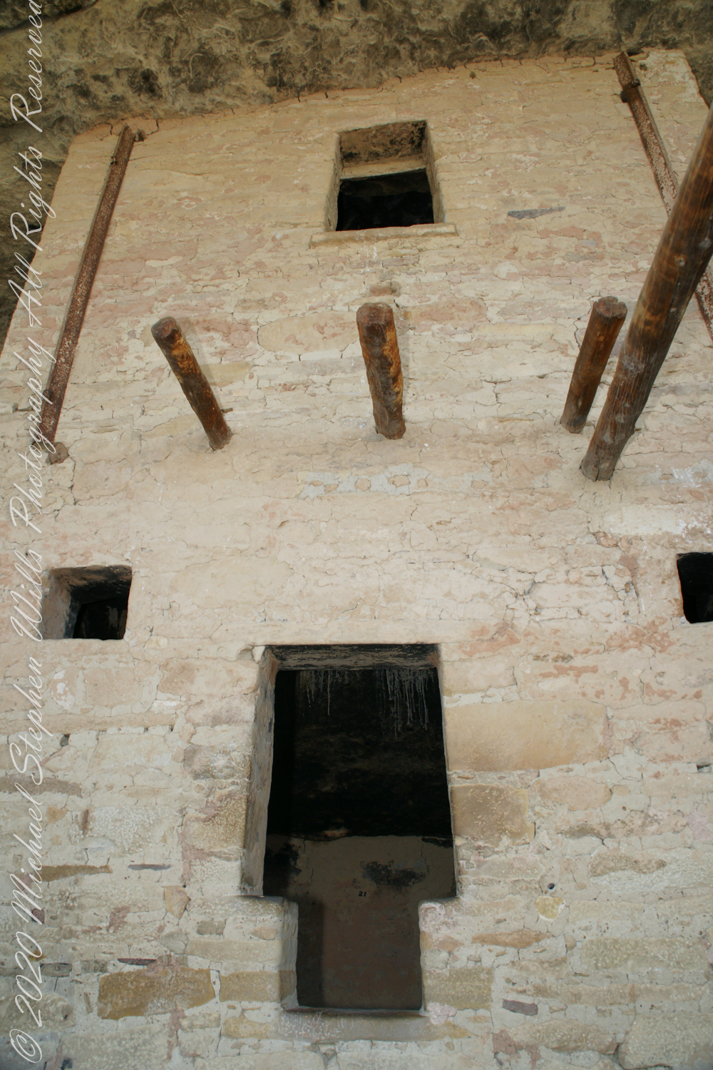
Masonry
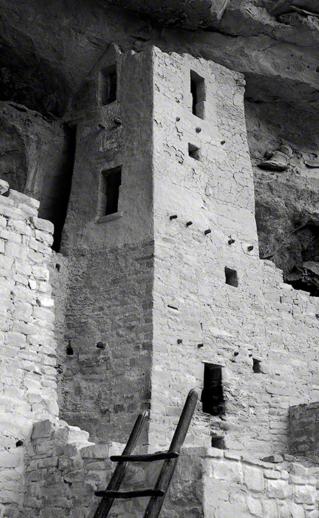
Here we are looking back to the entrance, where visitors crawl on hands and knees to enter.
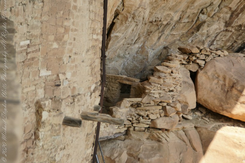
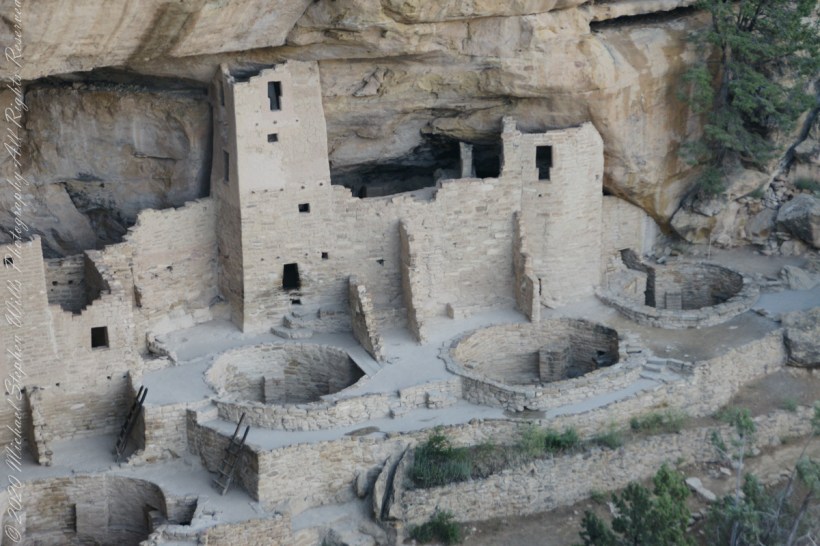
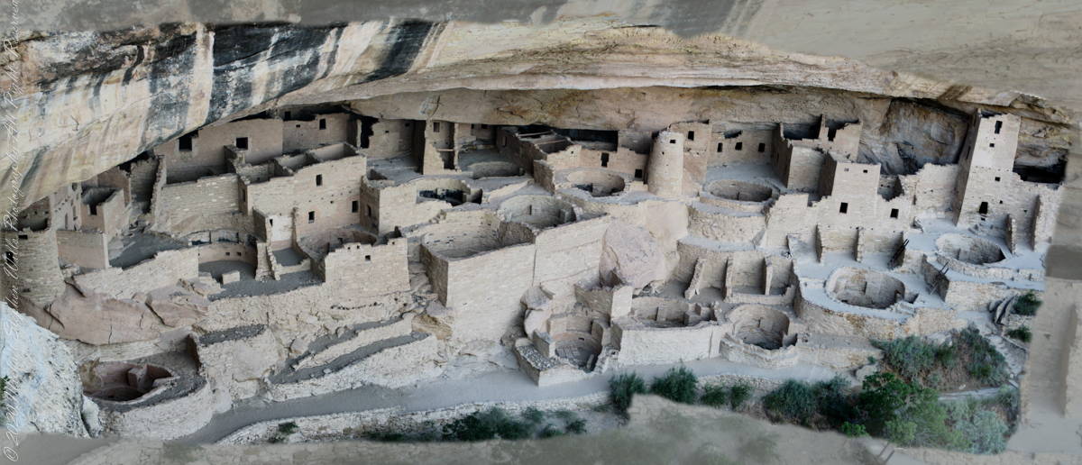
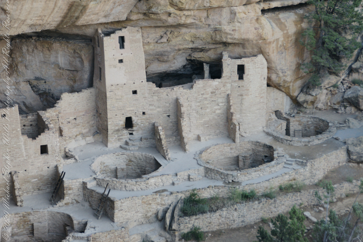
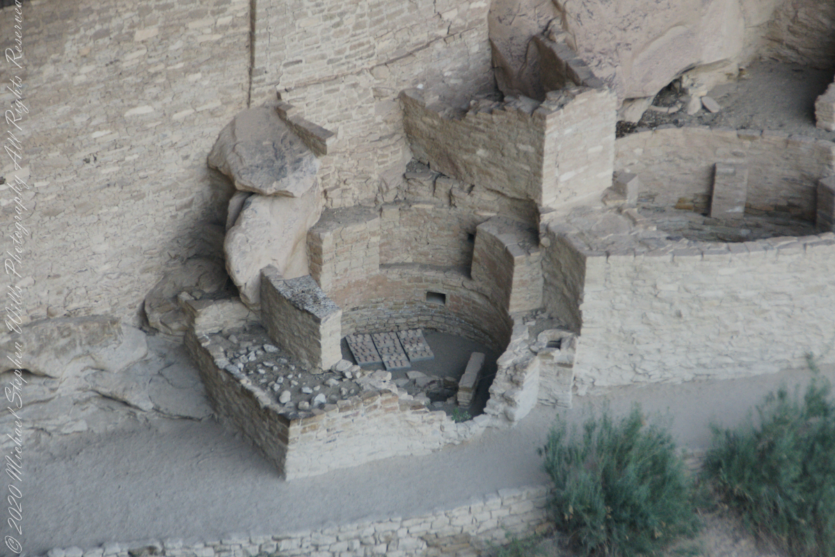
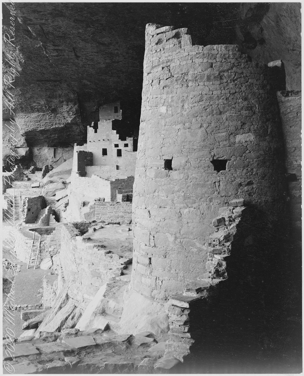
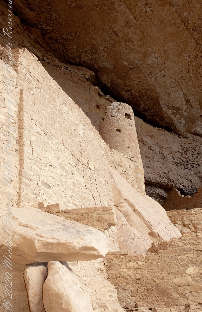
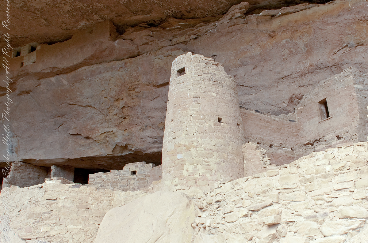
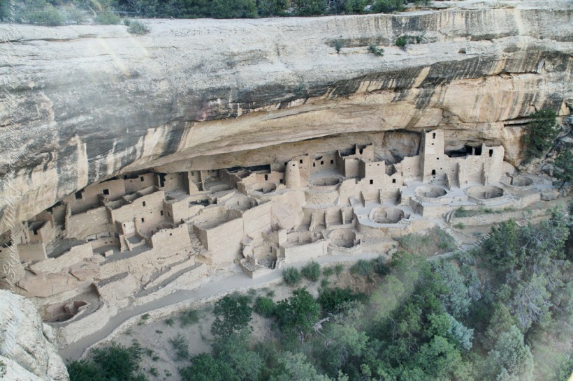
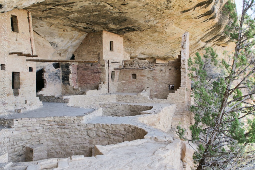
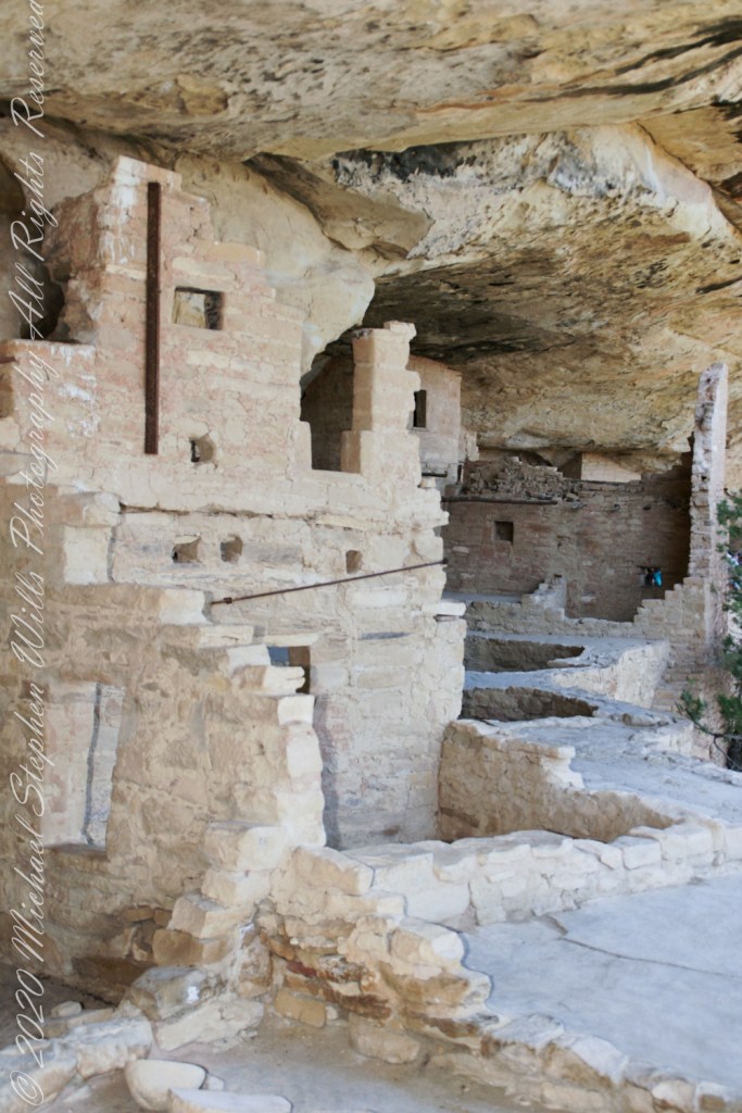
Here is Pam twenty two (22) minutes into the tour. The structures are build into a naturally occurring cleft in the mesa cliff, below the rock shelf of the mesa top. The rock shelf is the roof above Pam.
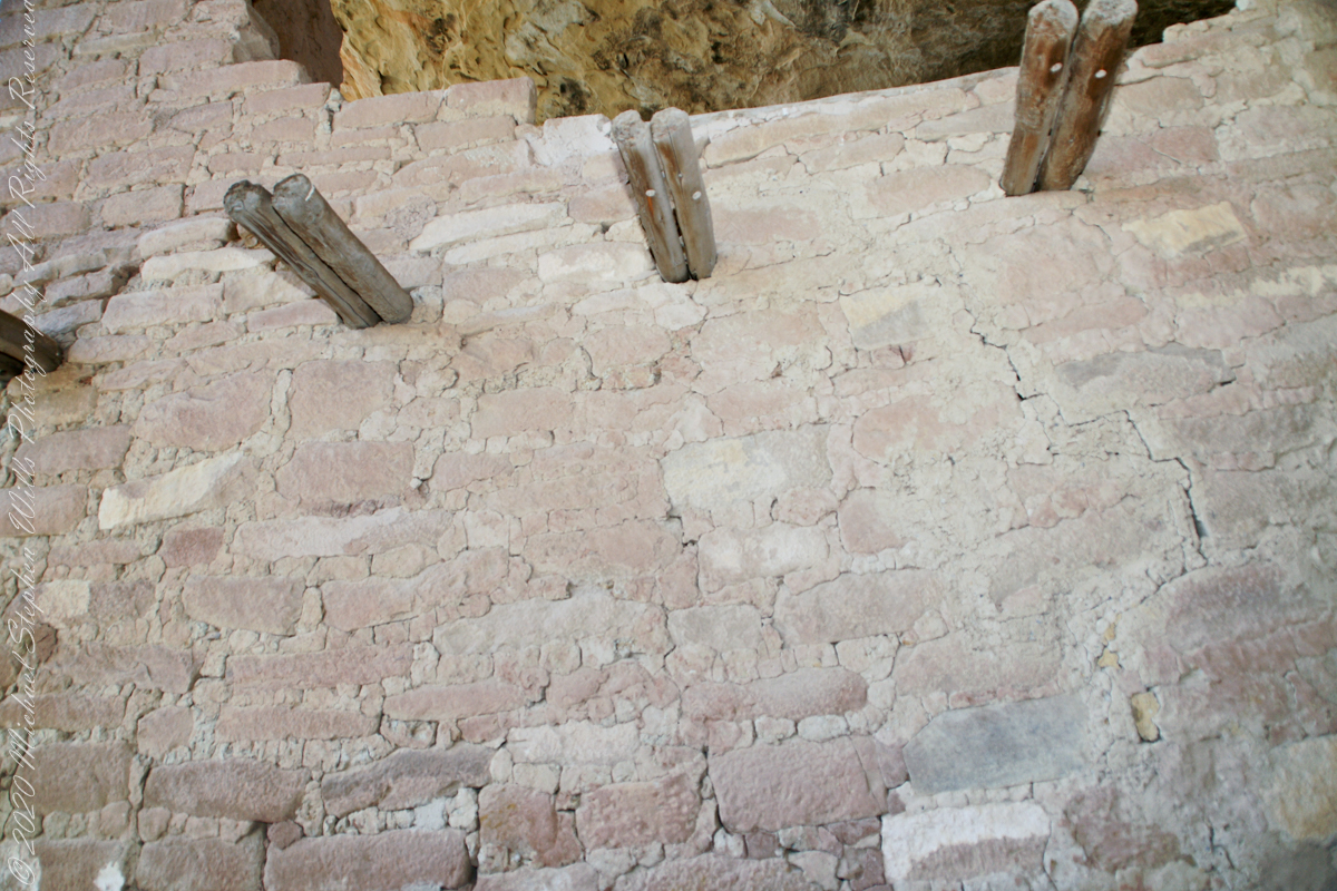
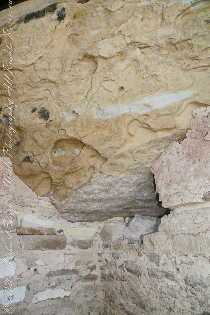
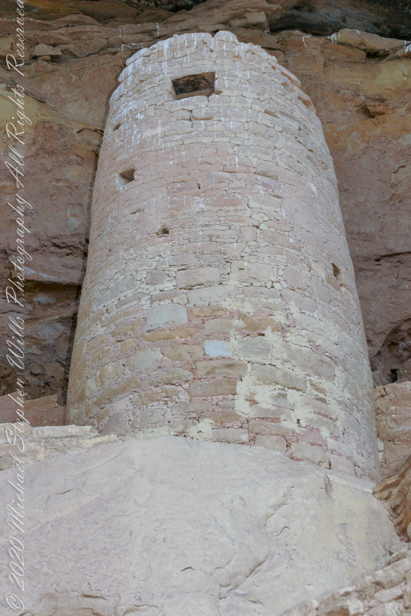
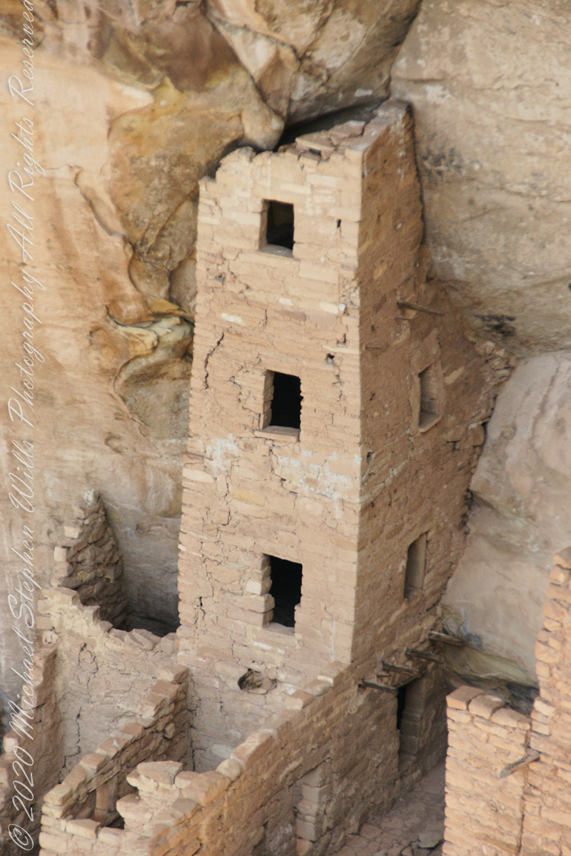
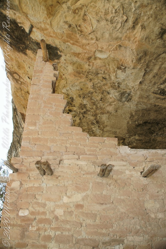
Looking up to the ceiling above a rock and mud wall. The structures have been carefully, lovingly, conserved since the rediscovery of Mesa Verde in 1884. The conservation work began 1910.
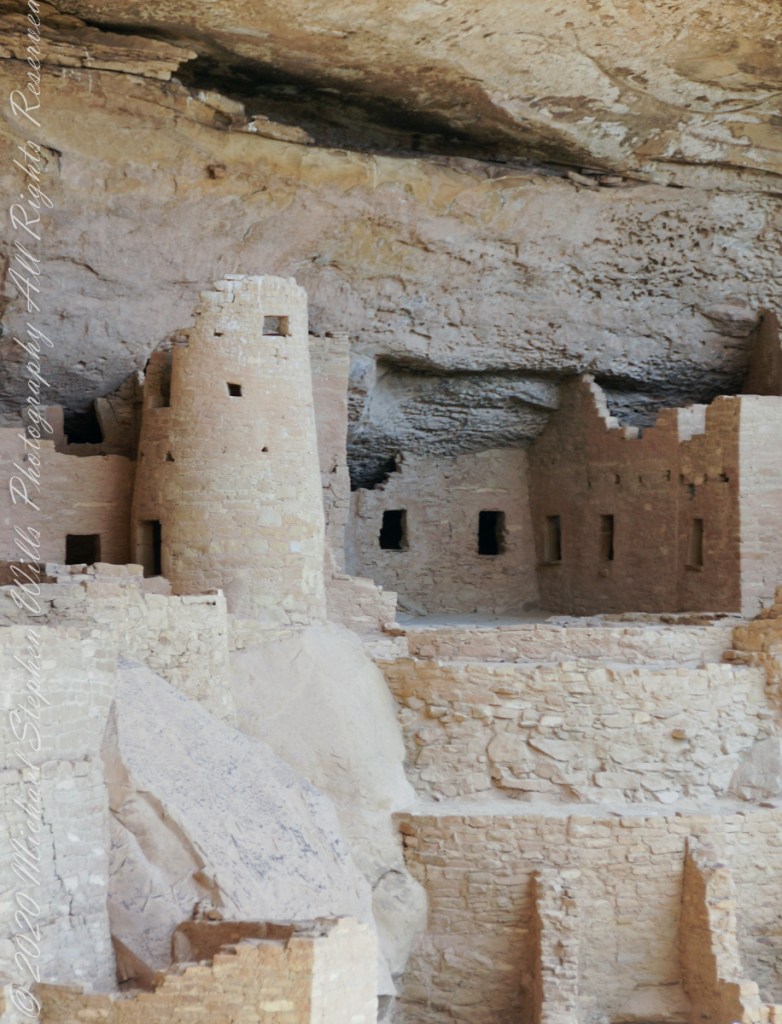
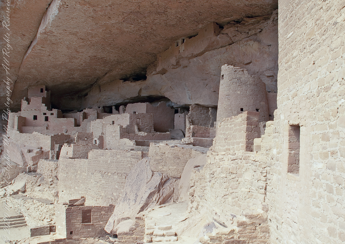
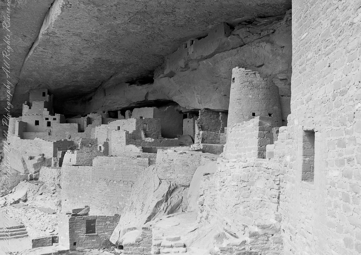
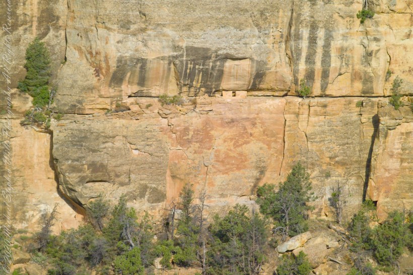
The 38 rooms and two kivas house up to 30 people. The cliff northeast facing cliff provided little warmth from the sun in winter. At 7,000 feet and 37 degrees latitude, the mesa is cold wintertime — the average low being 18 degrees Fahrenheit (minus 8 Celsius). As other locations offer a southern exposure, the warmest side for the northern hemisphere, why was this site chosen by the ancients? The answer is found in the two water seeps emerging from the ground at the juncture geological layers where the water gathers and finds a way from surface rainfalls. The high desert climate here was dry then and now.
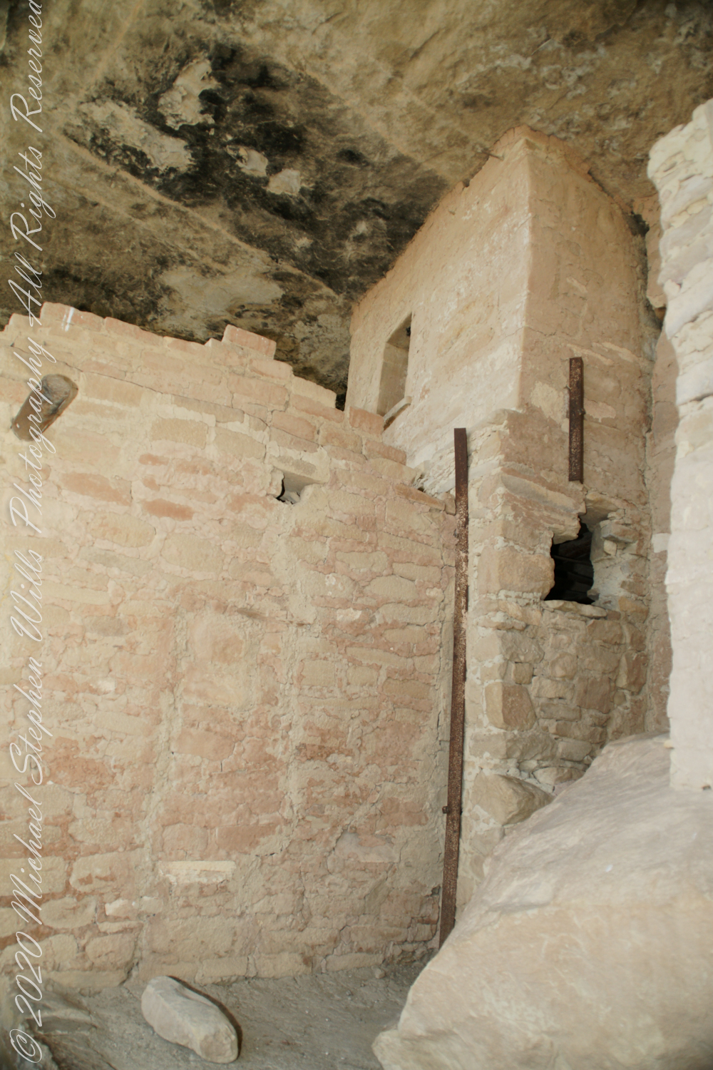


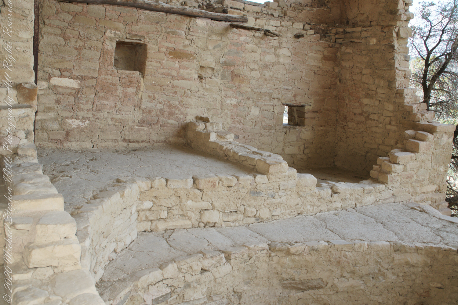
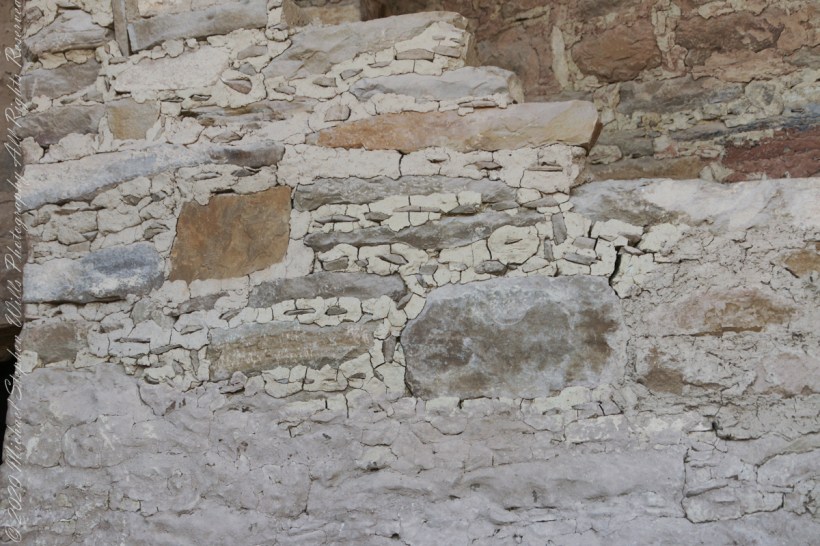
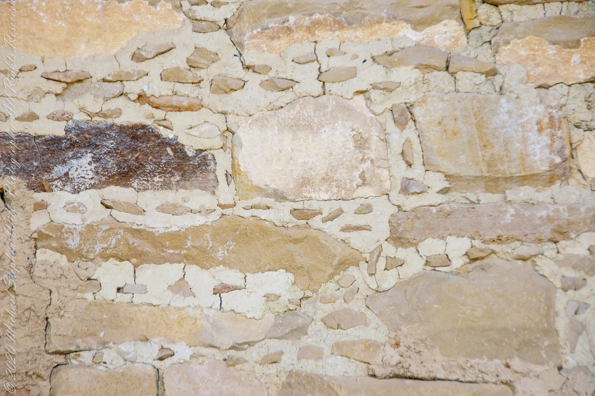
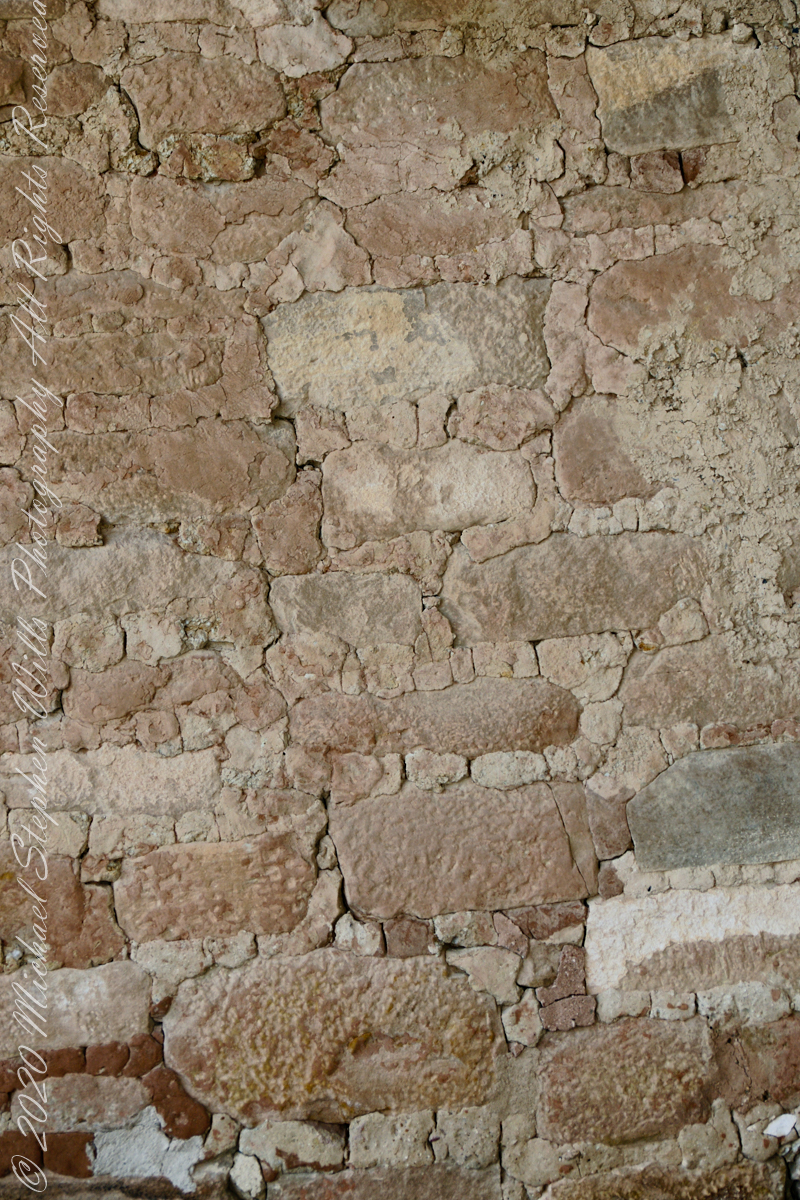
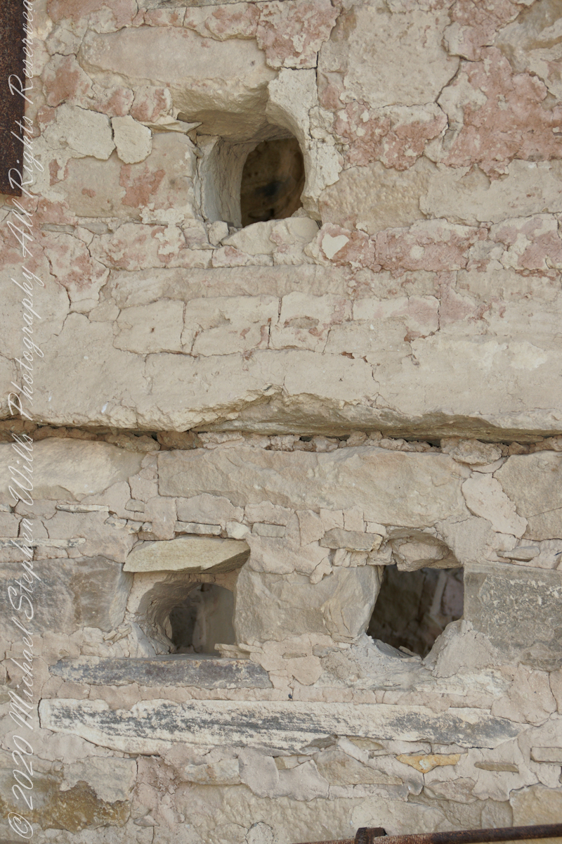
The walls demonstrate an enormous variety around basic patterns.


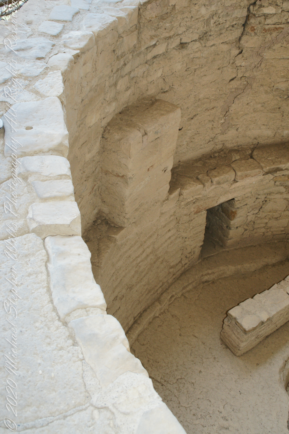

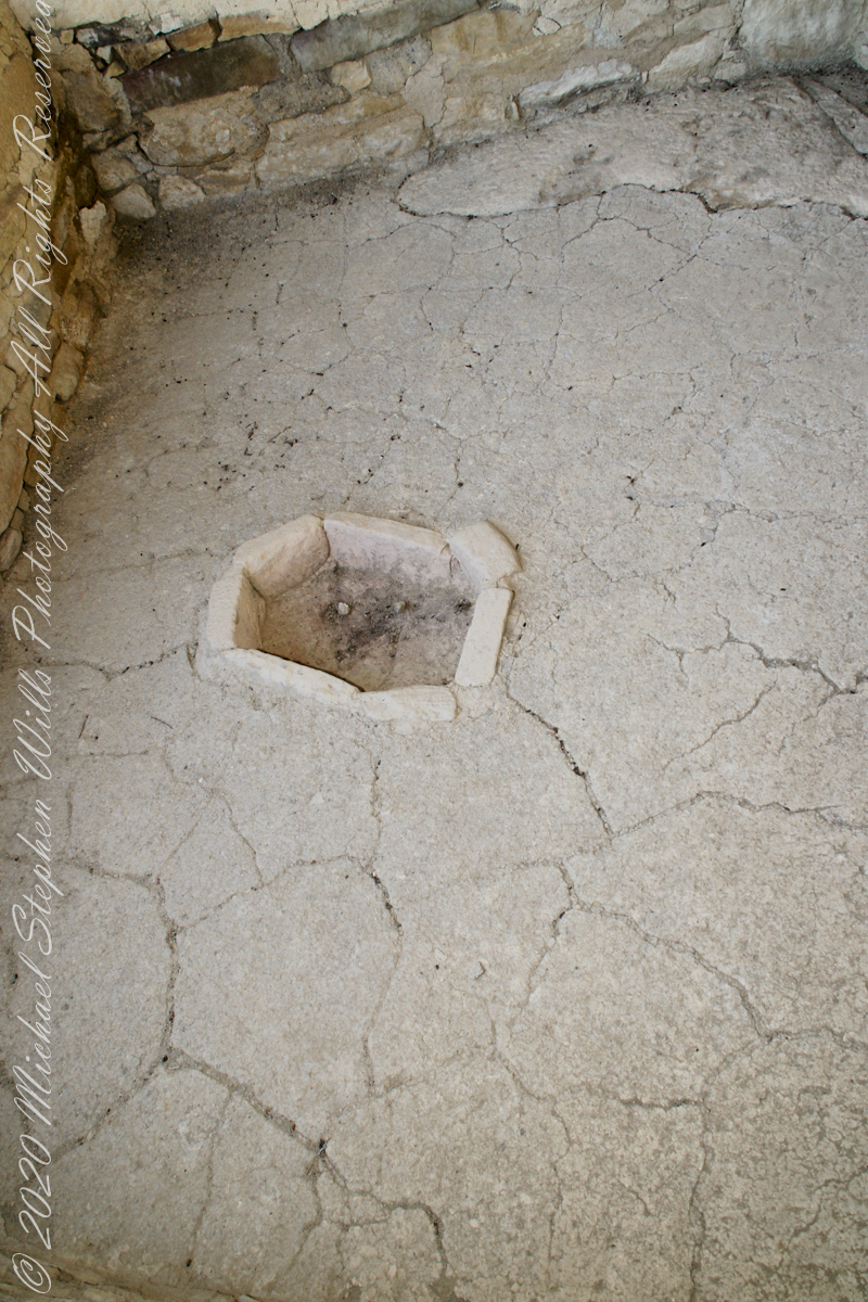
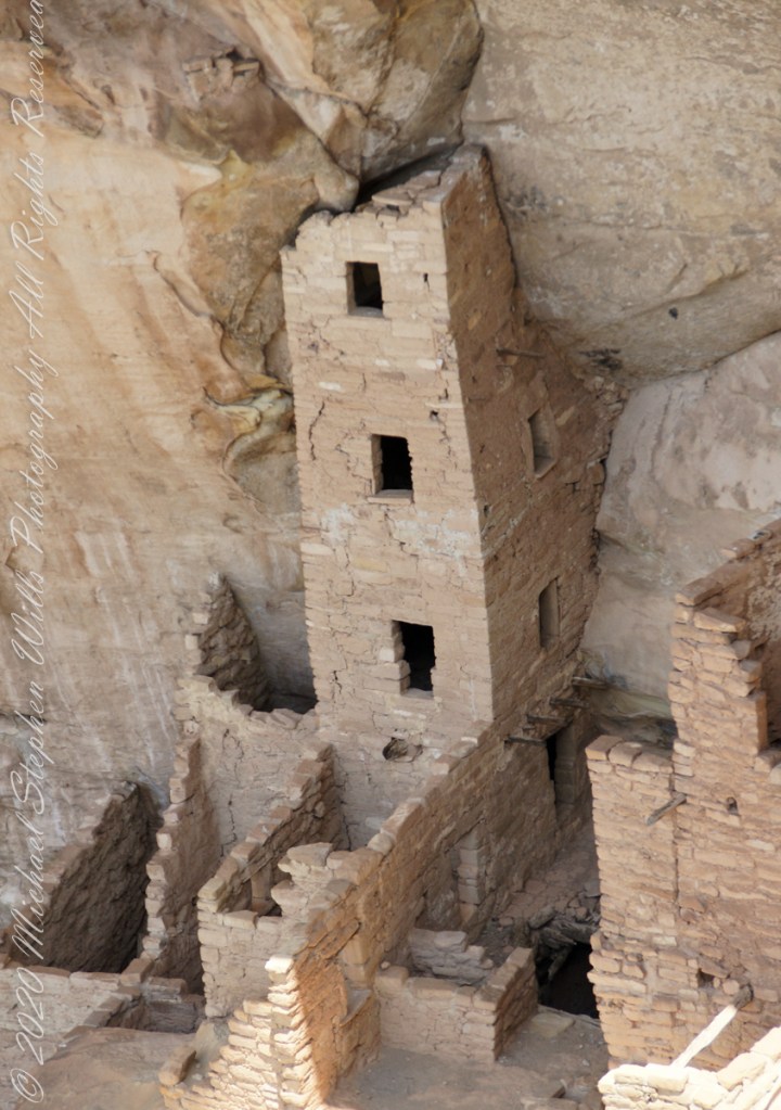
Plaza
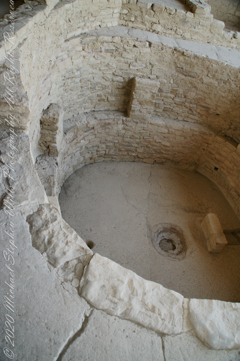
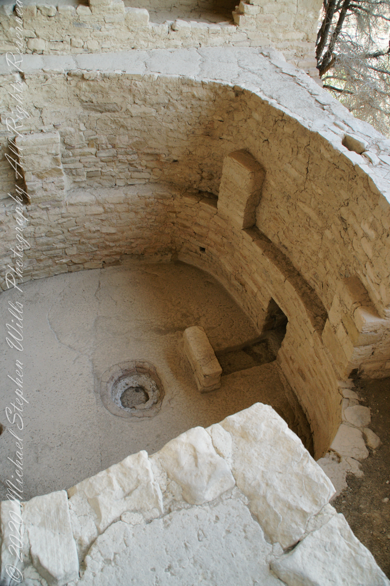
I had enough time to capture these “fine art” views of Balcony House, looking back toward the entrance. The round, in-ground structures are kivas, ceremonial and communal gathering spaces.
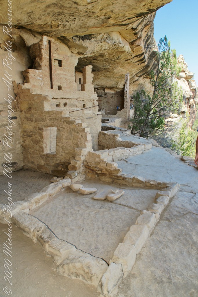
Possibly the most adventurous and potentially frightening tour component was the end, crawling on hands and knees along an 18 inch wide (46 centimeters) 12 foot long (3.7 meters) tunnel followed by a climb up a 60 foot (20 meters) open (exposed to falling over) cliff face.