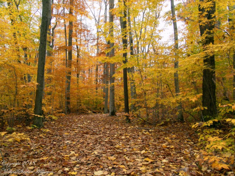
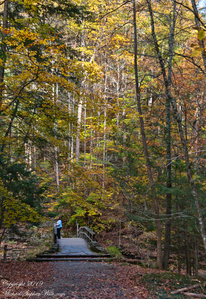
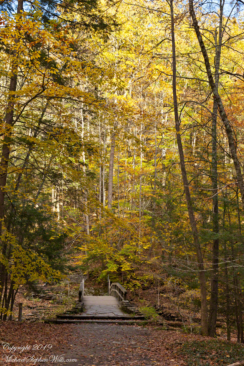
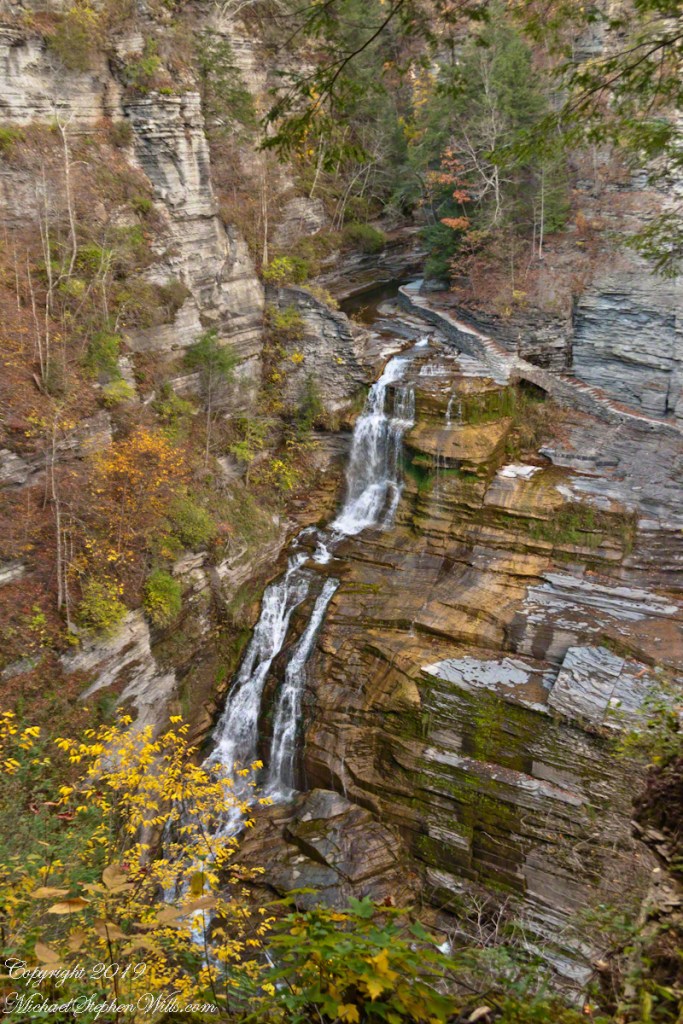
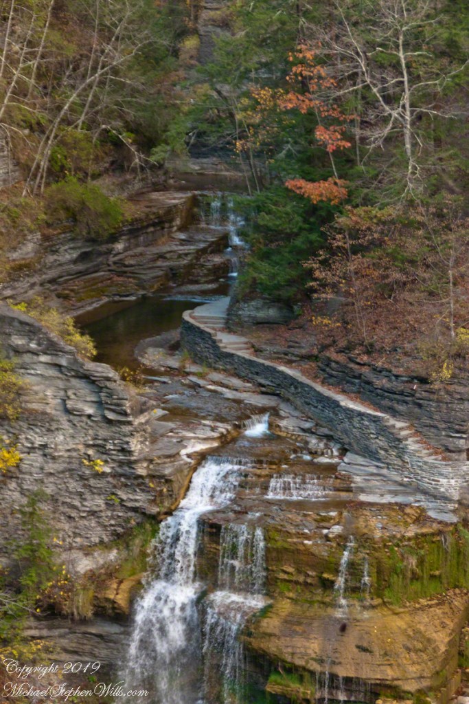
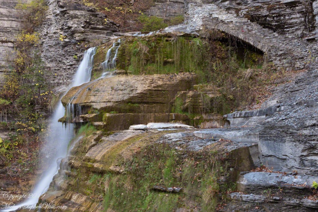
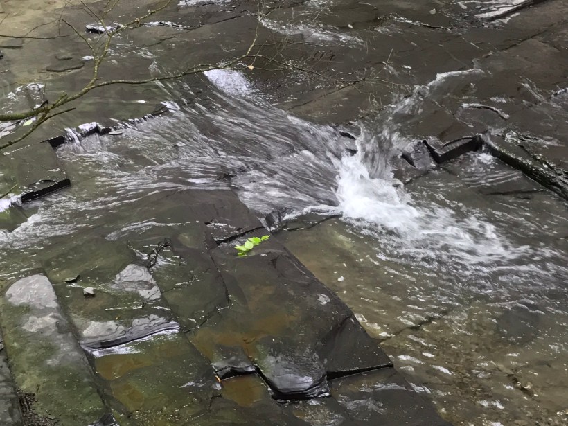
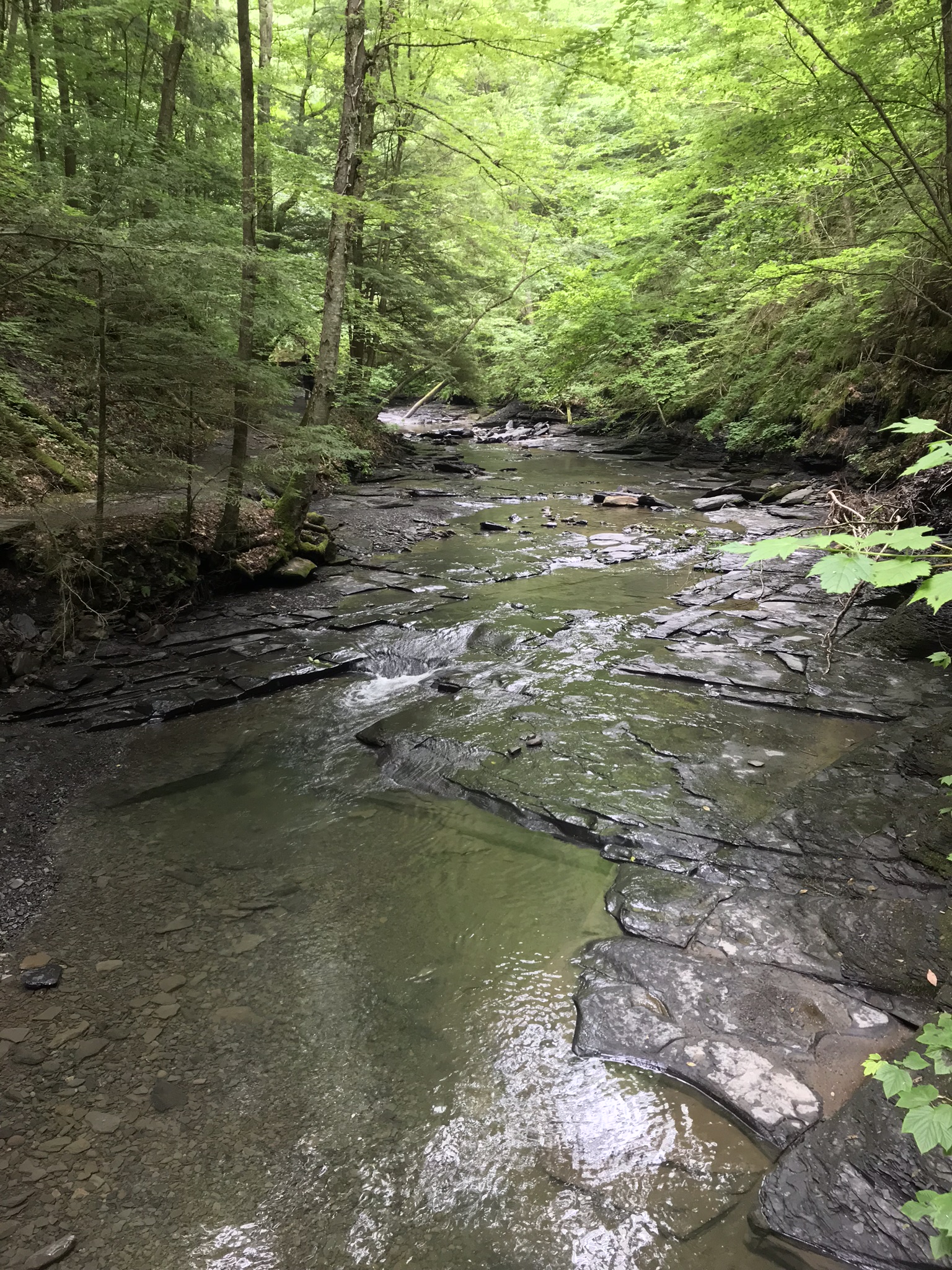
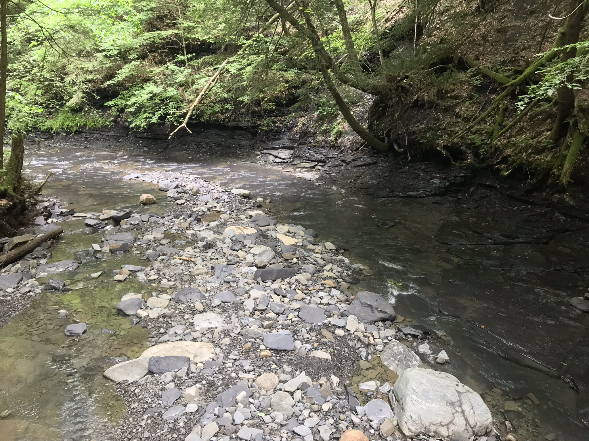
A place for quiet contemplation within the Treman Gorge, only accessible via a 15 minute hike. Robert H. Treman New York State Park on a late October afternoon.
Click photograph for a larger view. To do this from WordPress Reader, you need to first click the title of this post to open a new page.
Autumn foot Bridge
Click for a slideshow of this sequence of Lucifer Falls view from the overlook.
Lucifer Falls from Rim Trail OverlookLucifer Falls from Rim Trail Overlook
Copyright 2022 All Rights Reserved Michael Stephen Wills
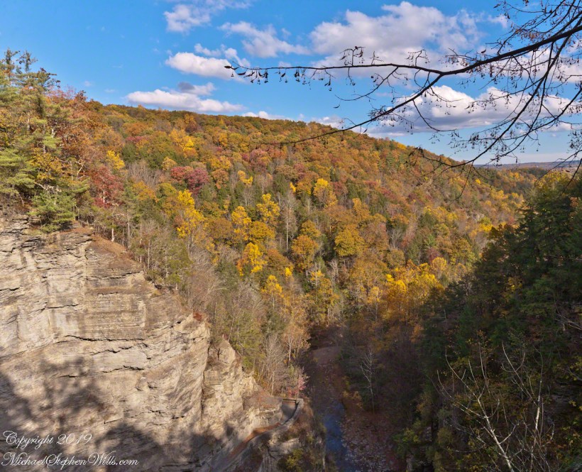
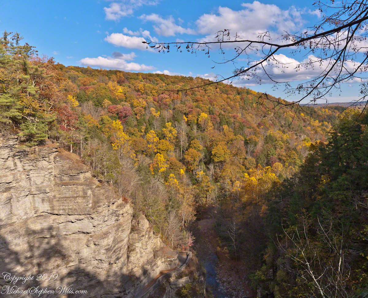
Standing on Enfield Gorge rim above Lucifer Falls on a clear October afternoon, the slopes of the far gorge cloaked in shades of green, yellow and red.
Below, the Gorge Trail runs below a sedimentary rock cliff.
Click photographs for a larger view. To do this from WordPress Reader, you need to first click the title of this post to open a new page.
Luficer Falls Overlook, northeast
Click for a slideshow of this sequence of Lucifer Falls view from the overlook.
Luficer Falls Overlook, northeastLucifer Falls from Rim Trail OverlookLucifer Falls from Rim Trail Overlook
Copyright 2022 All Rights Reserved Michael Stephen Wills
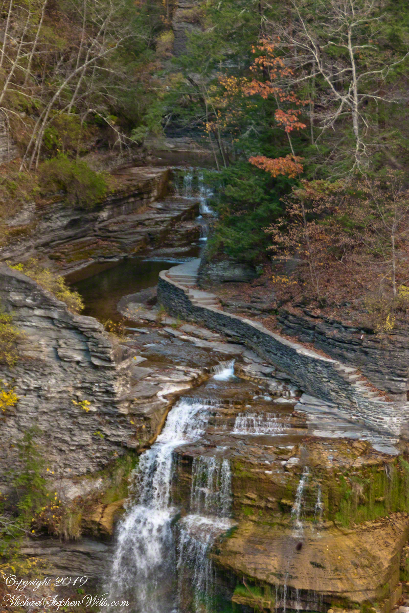
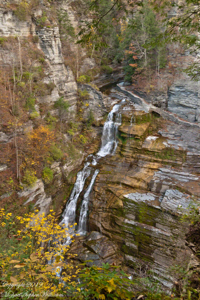
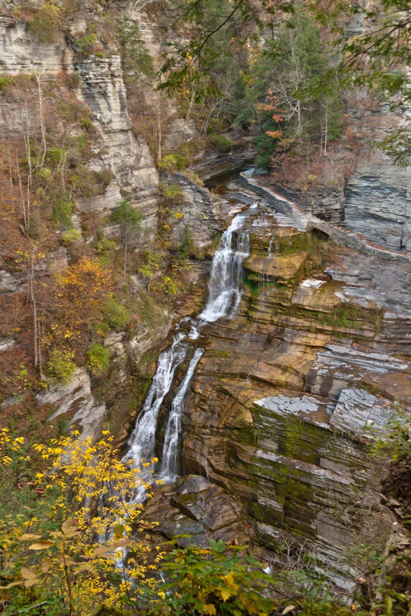
A full sweep of Lucifer Falls on an autumn evening, the sun hidden behind the gorge walls. Here the Gorge Trail emerges from the shelter of the gorge, emerging into a dizzying view.
Click photographs for a larger view
Lucifer Falls from Rim Trail Overlook
Click for a slideshow of this sequence of Lucifer Falls view from the overlook.
Lucifer Falls from Rim Trail OverlookLucifer Falls from Rim Trail Overlook
Copyright 2019 All Rights Reserved Michael Stephen Wills
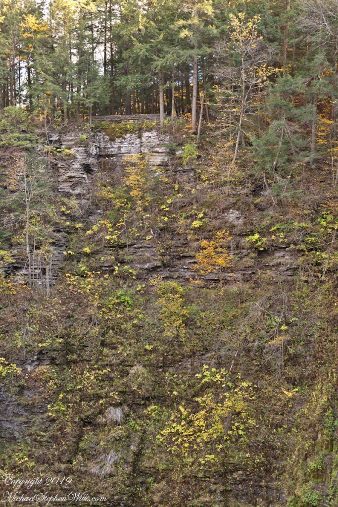
Standing on the trail alongside Lucifer Falls, crane your neck, up and up to the cliff top. Look closely to see the protective rock wall of the overlook.
Click photograph for a slideshow. To do this from WordPress Reader, you need to first click the title of this post to open the page on my site.
Lucifer Falls Overlook from the Gorge Trail
The Rim Trail includes this overlook of Lucifer Falls with, upstream, the Devil’s Kitchen waterfall, the path of the Gorge Trail in between.
Lucifer Falls from Rim Trail Overlook
The full sweep of Lucifer Falls on an autumn evening, the sun hidden behind the gorge walls. Here the Gorge Trail emerges from the shelter of the gorge, emerging into a dizzying view.
Lucifer Falls from Rim Trail Overlook
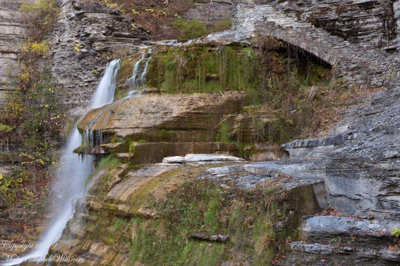
Brink of Lucifer Falls
Lucifer Falls Overlook from the Gorge Trail
Lucifer Falls from Rim Trail Overlook
Lucifer Falls from Rim Trail Overlook
Copyright 2022 All Rights Reserved Michael Stephen Wills
This trail, built into the slate/sandstone gorge wall, follows the descent of Lucifer Falls. Here we view the brink and the path alongside. Follow this trail to Devil’s Kitchen, up and around the corner.
Click photograph for a larger view
Brink of Lucifer Falls
Copyright 2022 All Rights Reserved Michael Stephen Wills
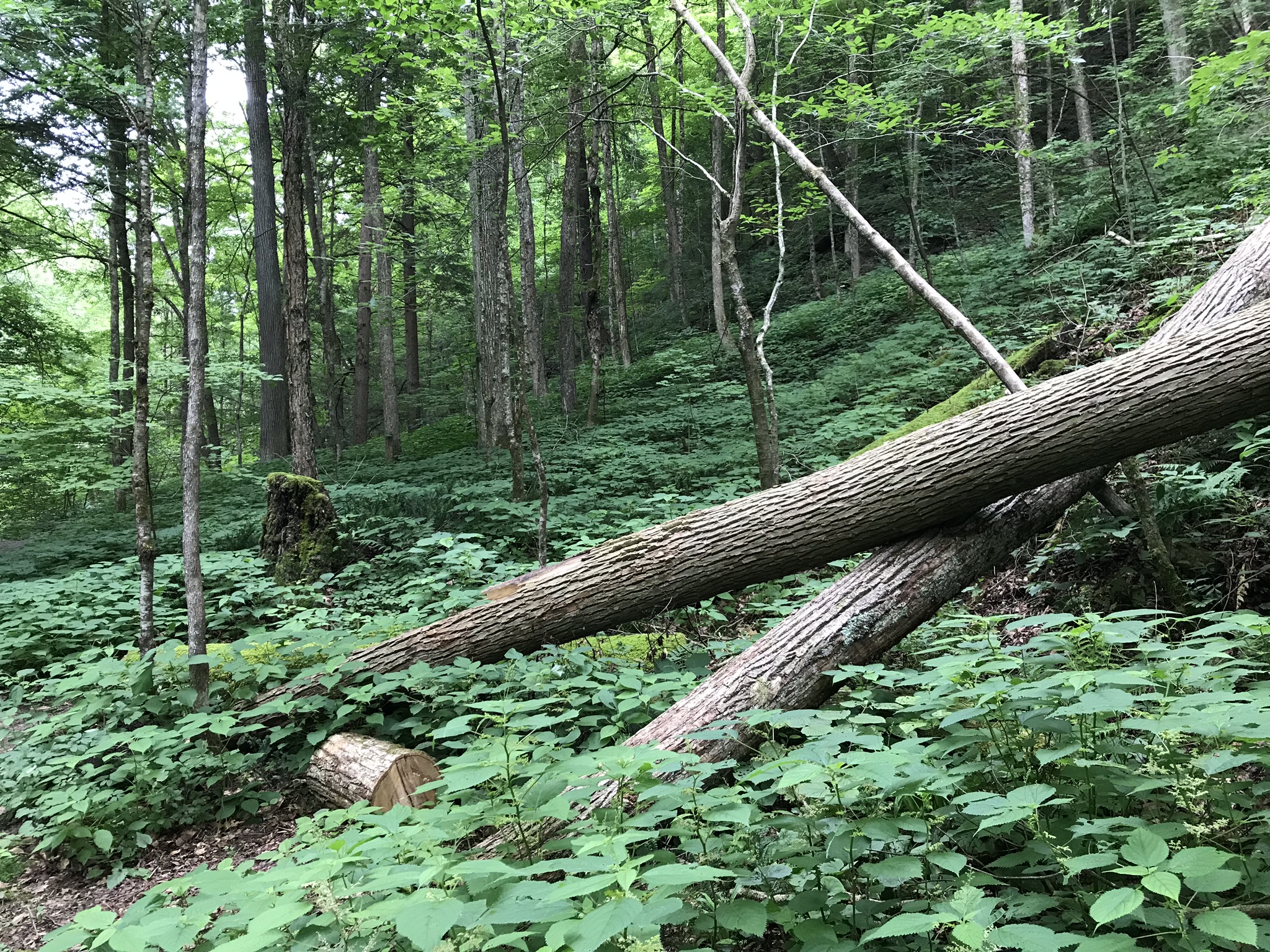
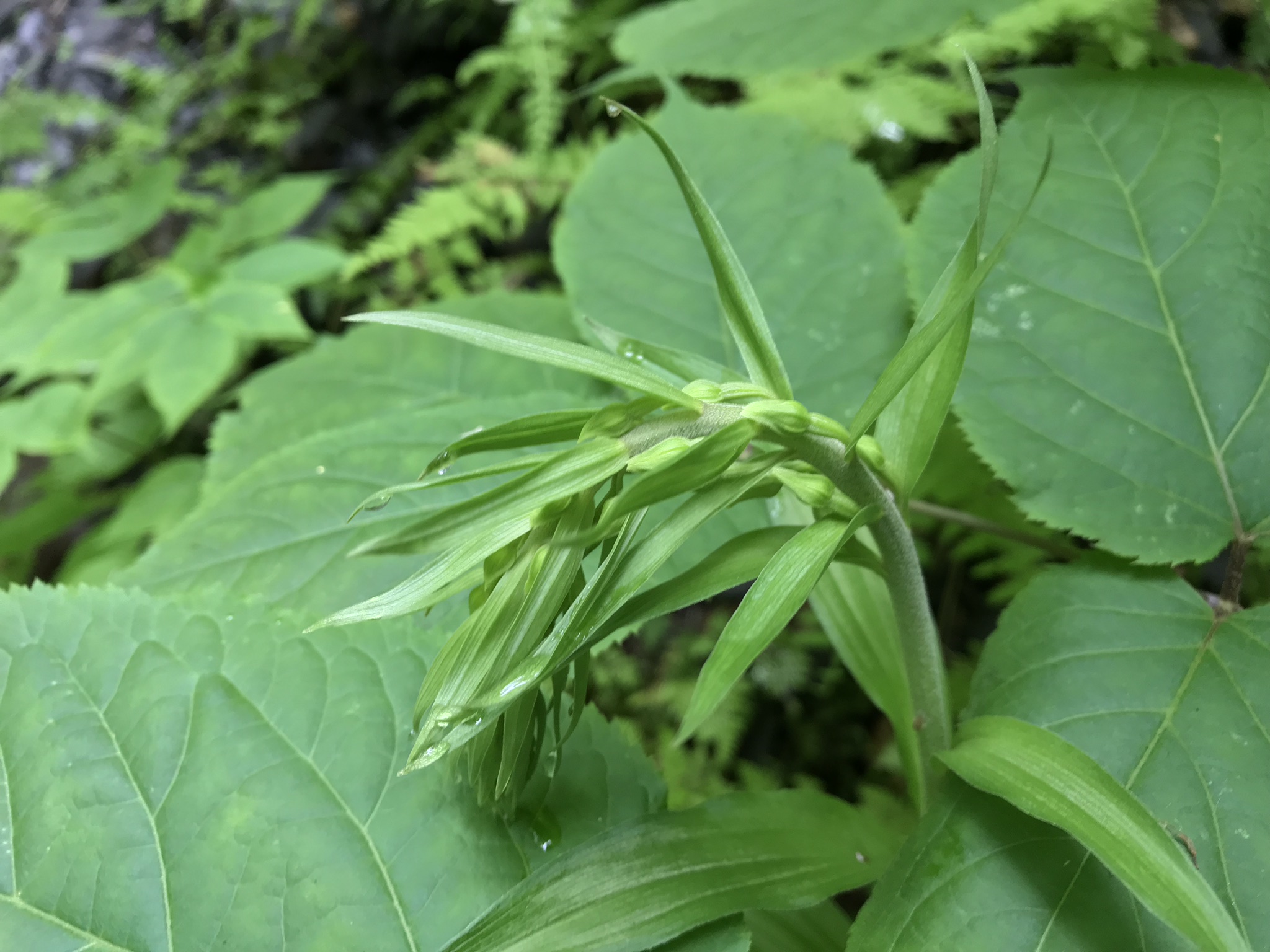
Among this jumble of fallen, cut trees is the solution to a personal mystery.
I had often seen these green berry-like fruits of summer, these were growing among tree fall on one of the few almost level places of the gorge. The green turns bluish when ripe. This photograph I used today, along with dogged determination, to identify this plant. It was in neither reference on my desk.
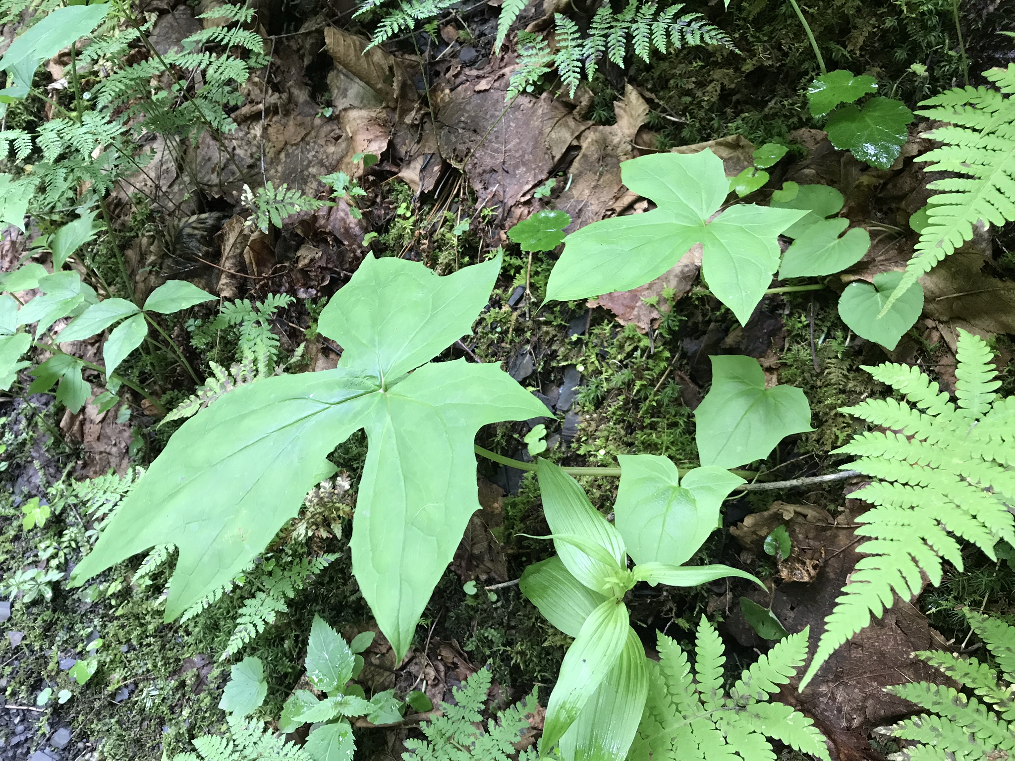
The green berry color threw me off, using the growth pattern of the fruit, the leaves and where it was growing (moist forest with little light) to identify Blue Cohosh (Caulophyllum thalictroides). The leaves are similar to meadow rue and the species name ( thalictroides) is taken from the genus name of meadow rue (Thalictrum). The two are related, belonging to the order Ranunculales.
Blue Cohosh has pharmacological properties. Another name for the plant, Papoose Root, is from the Native Americans who used preparations of the root to induce childbirth, ease the pain of labor, rectify delayed or irregular menstruation, and alleviate heavy bleeding and pain during menstruation.
Copyright 2022 Michael Stephen Wills All Rights Reserved
We laughed at the trail-head sign, “Caution Muddy Trails.” White shorts beware. Somebody complained and demanded immediate resolution to the situation.
Another sign advised the Gorge Trail was closed after the seventh bridge. In my post “Bridge Views” these bridges are described. We could cross the seventh bridge, a barrier and a strongly worded sign, “Proceed no further, you will be prosecuted,” blocked the way. Here is the view, looking upstream.
The blocked path climbs the steep northern glen wall. This is the south wall, from the bridge. There was a young mother with two children, a girl, 6 or 7, and her 7 or 8 years old brother, each well equipped for the expedition with appropriate clothing and backpacks.
The family proceeded while I lingered to gaze up the blocked trail. I was tempted to crawl over the barrier, the ascending trail was clear the entire visible length. Being more cautious with age, or growing wisdom, I suppressed the urge and took in sights on the return trip.
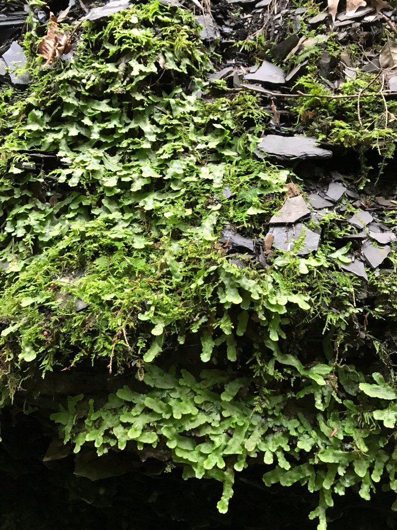
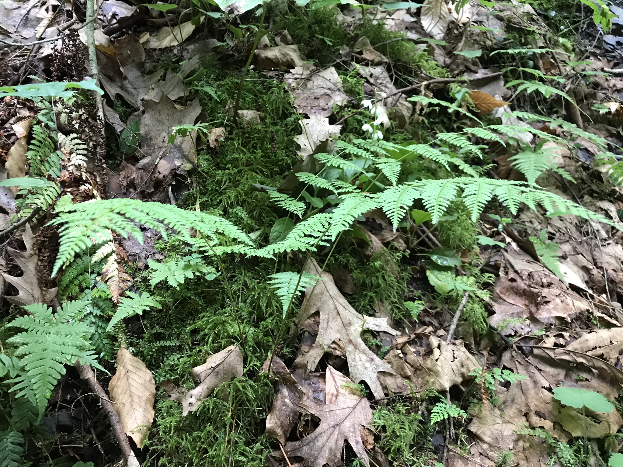
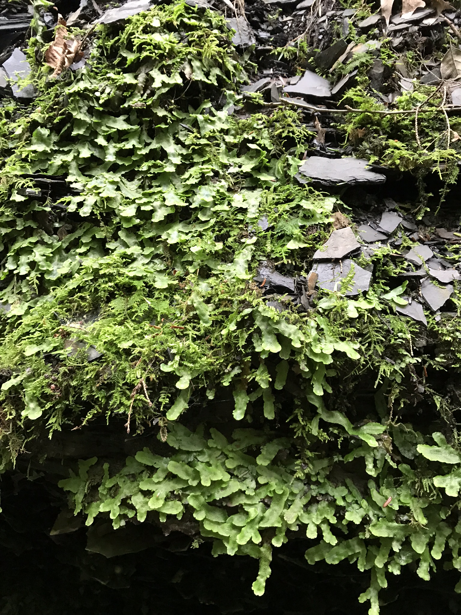
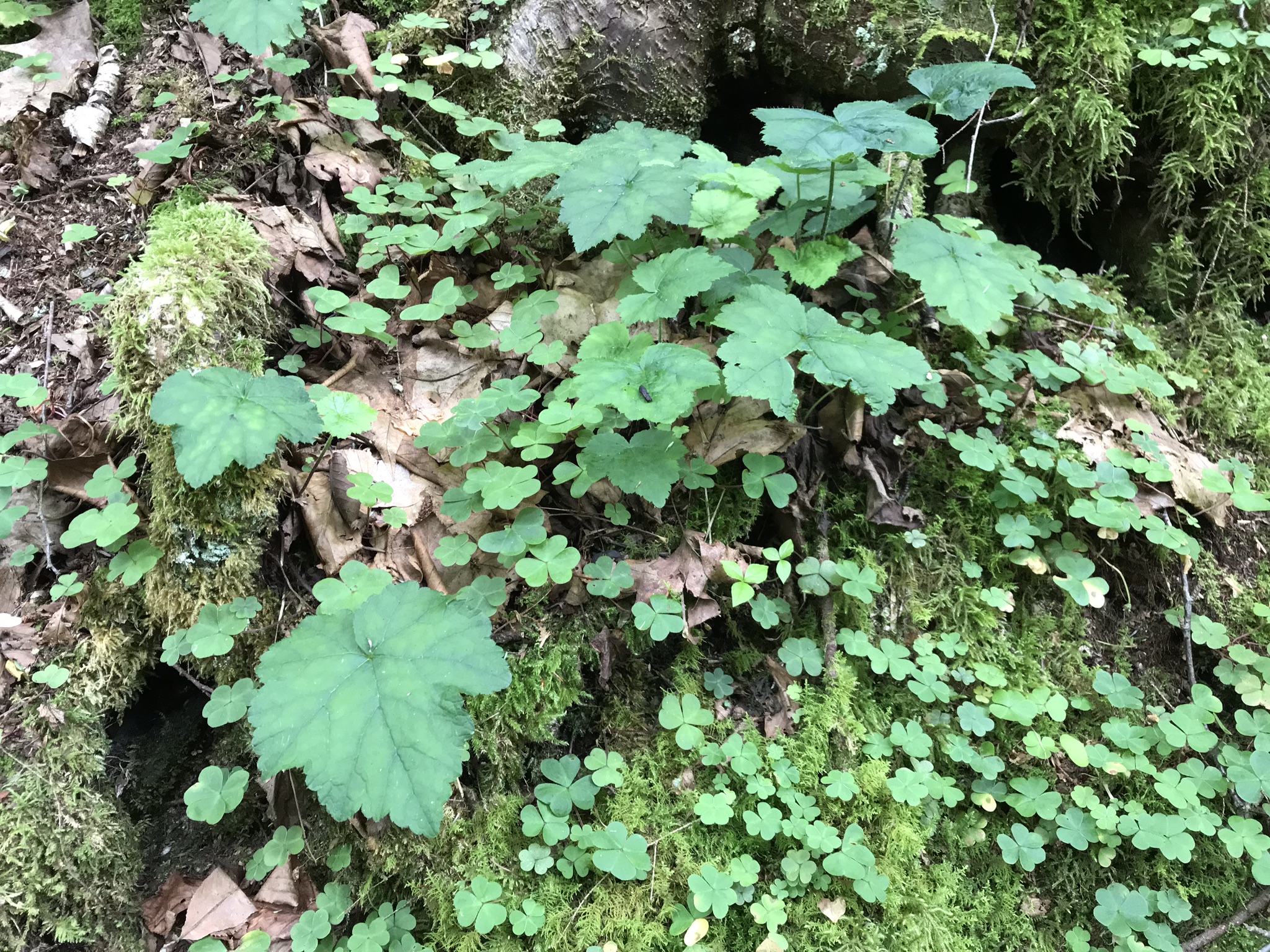
The leaves of hepatica among mosses and sorrell
On bridge number six the girl has her entire backpack contents spread over the path, a naturalist examining her kit. So sweet. Nia and Pam, at this point, were far ahead of me.
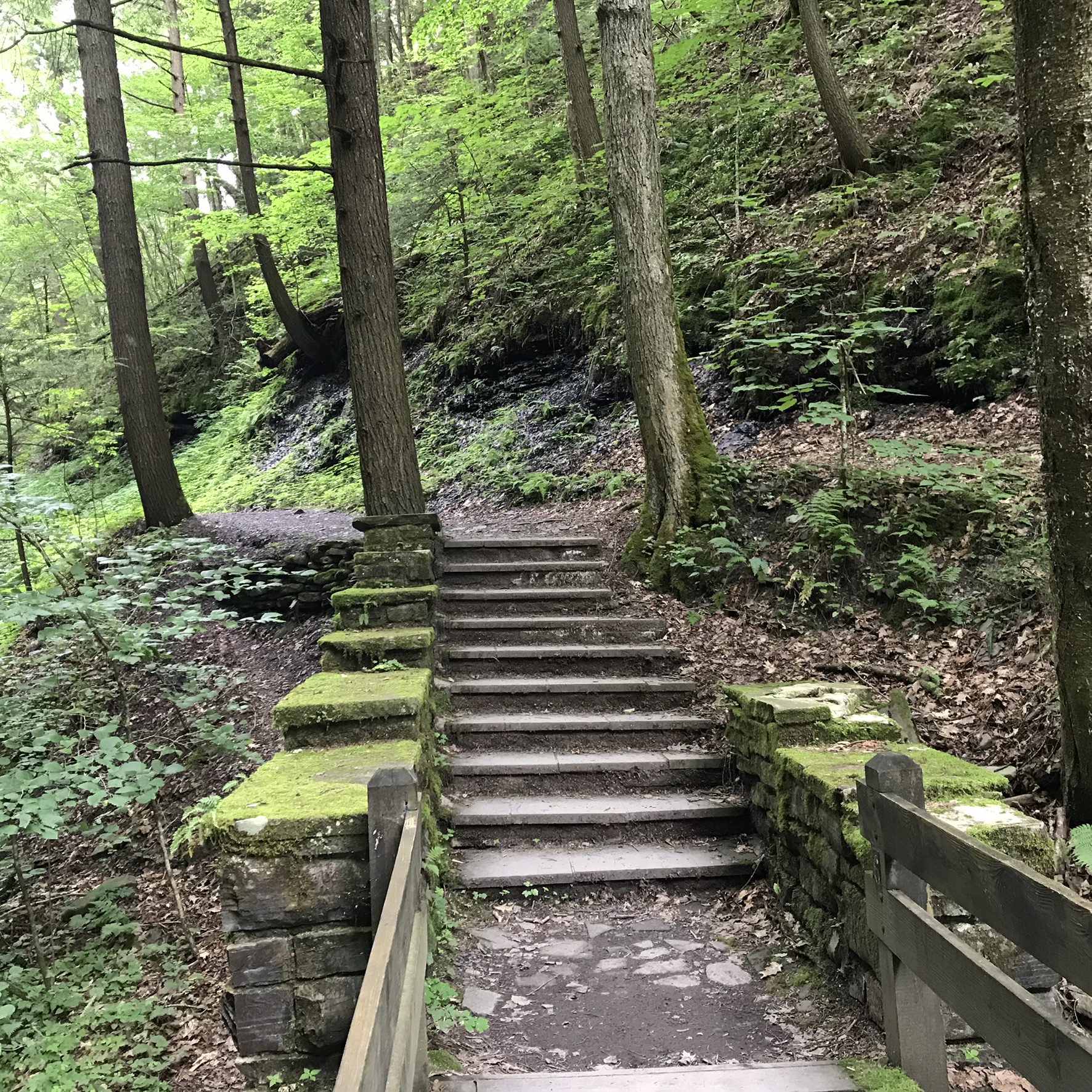
Stairs on approach to the Sixth Bridge
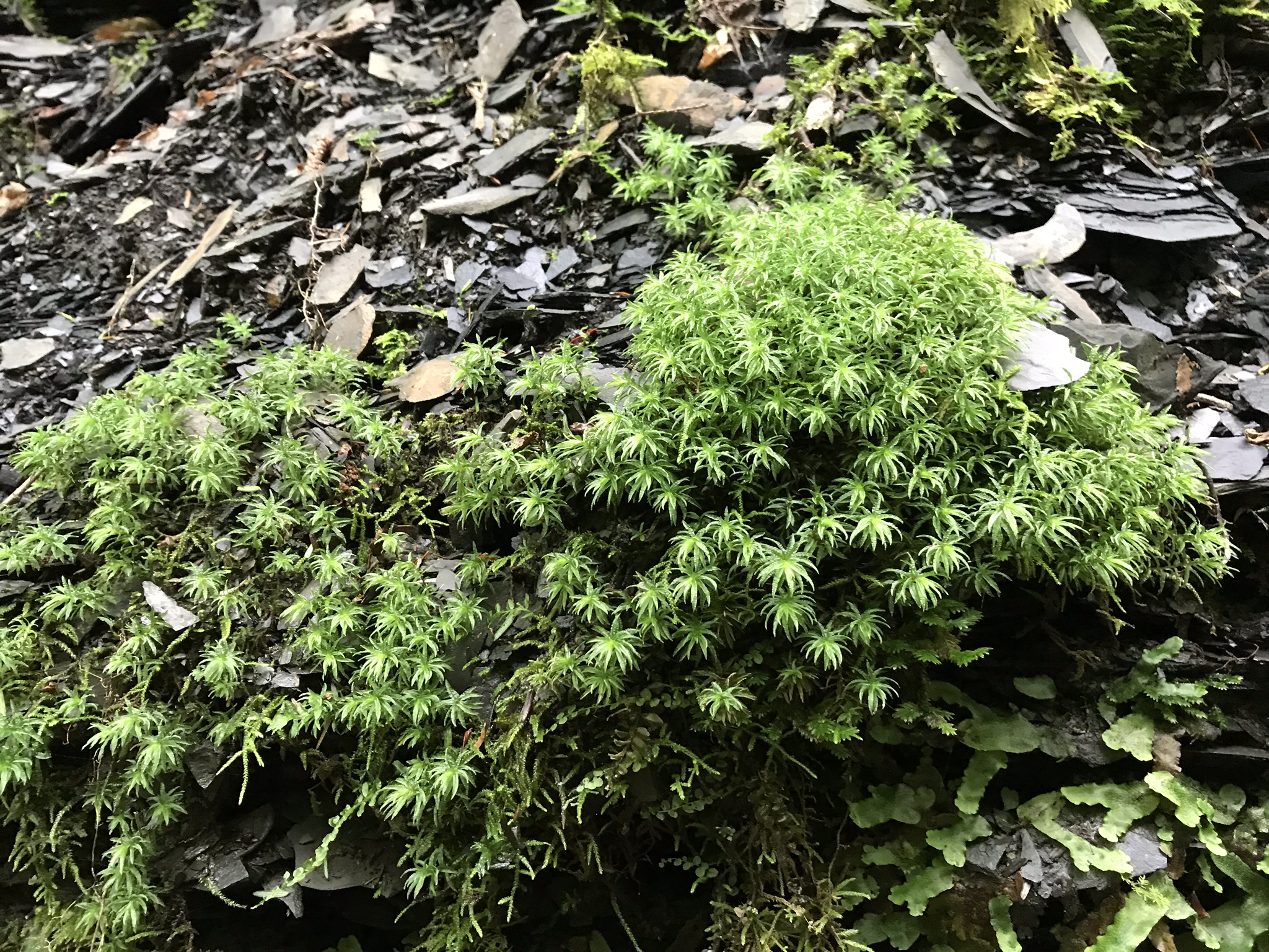
Moss is another plant proven valuable to humankind.
Sphagnum moss was used for wound dressing during World War I, being almost sterile and highly absorbent. The flat growth to the lower right I do not recognize.
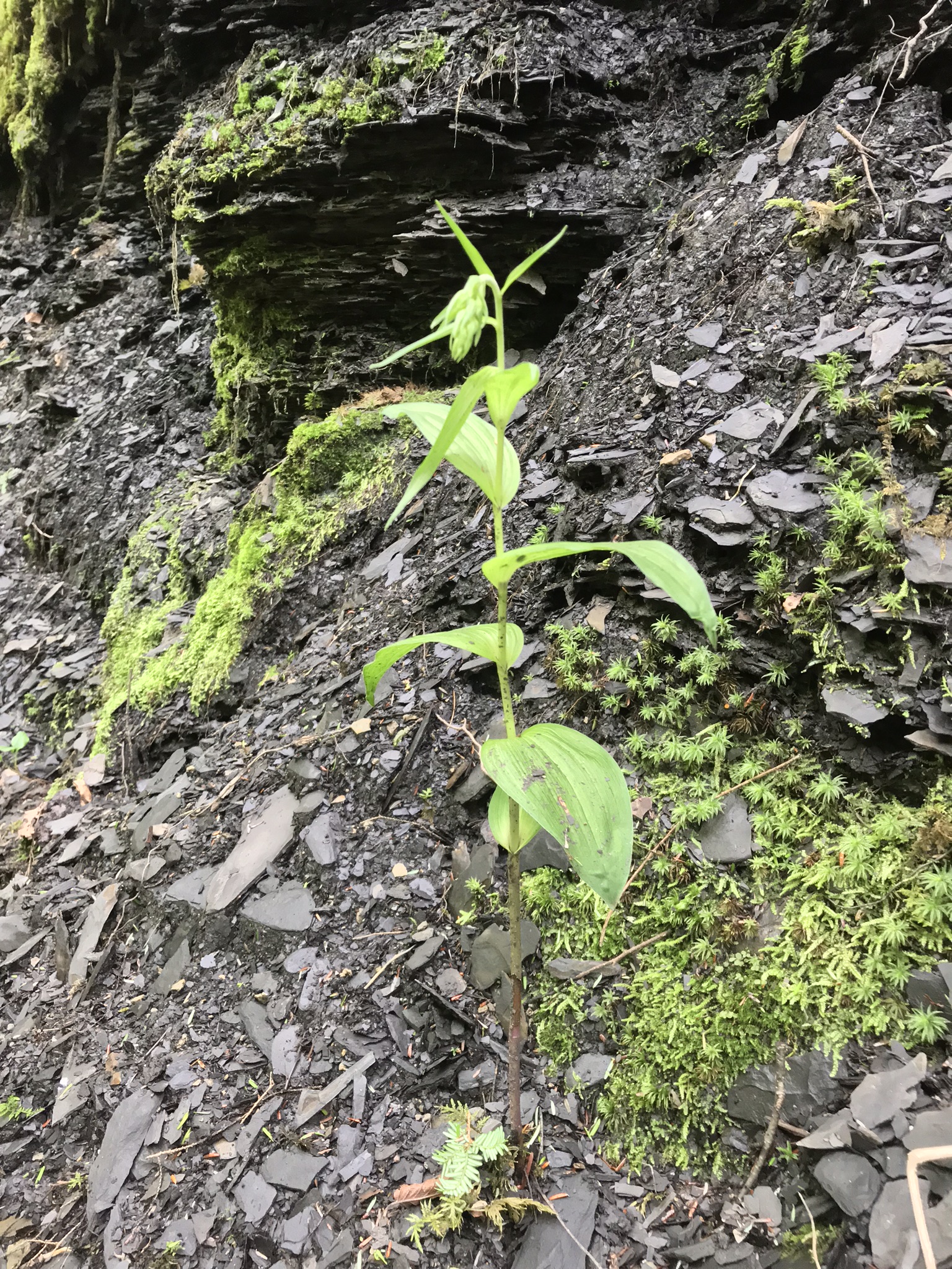
An Orchid
This strange orchid, the species name references a similarity to hellebore
Broad-leaved Helleborine (Epipactis helleborine)Flower of the Broad-leaved Helleborine growing up from other leavesCompelling Leaf Arrangement
With is we left the Gorge trail for this day, with a plan to return to approach the eight bridge from the north.
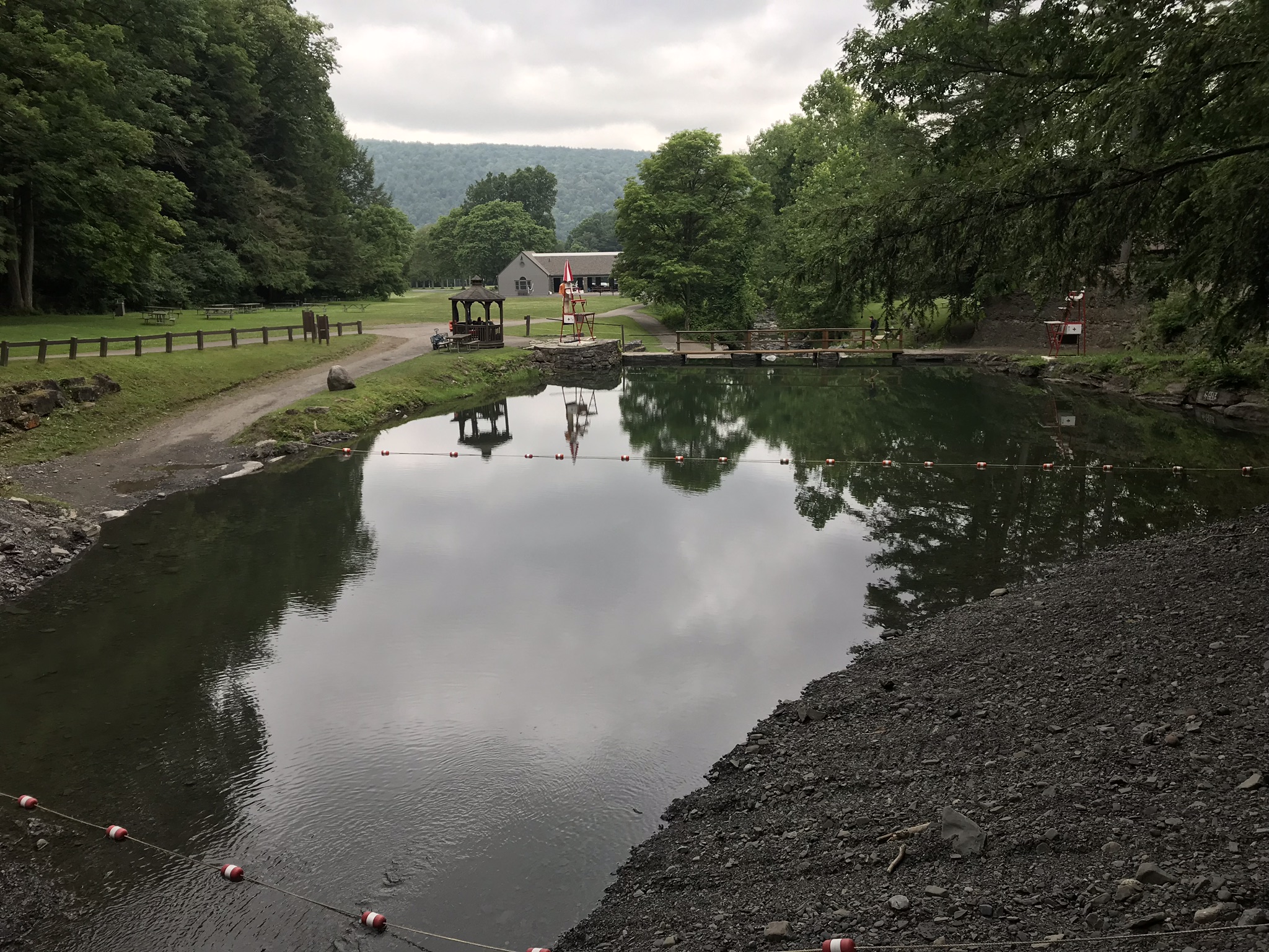
View of stream fed pool from near start of Gorge Trail
Copyright 2022 Michael Stephen Wills All Rights Reserved
Moss and soil held in place by roots, it is unsettling to pass this place. This entire section is unsettled and unsettling to someone with an overactive imagination, who notices nothing growing below this place, in a gorge otherwise covered in greenery.
This decade some exceptional trail stabilization work was completed. Here is a portion of the trail, near the above photograph, the bank of loose soil held in place with a stepped retaining wall crafted from wood 8×8 posts. Higher in Fillmore Glen a portion of the trail is closed where the hillside gave way 14 years ago.
Fallen
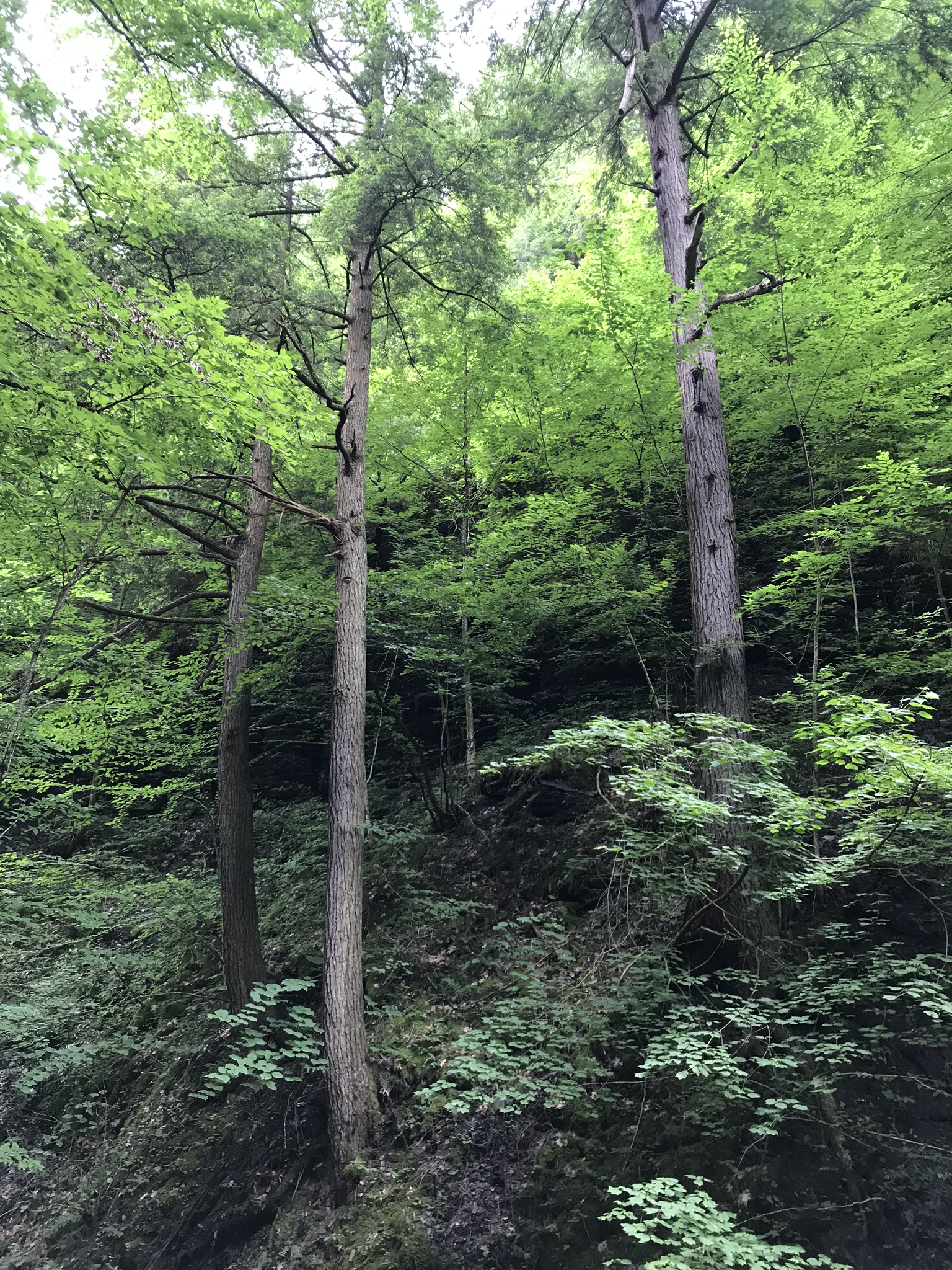
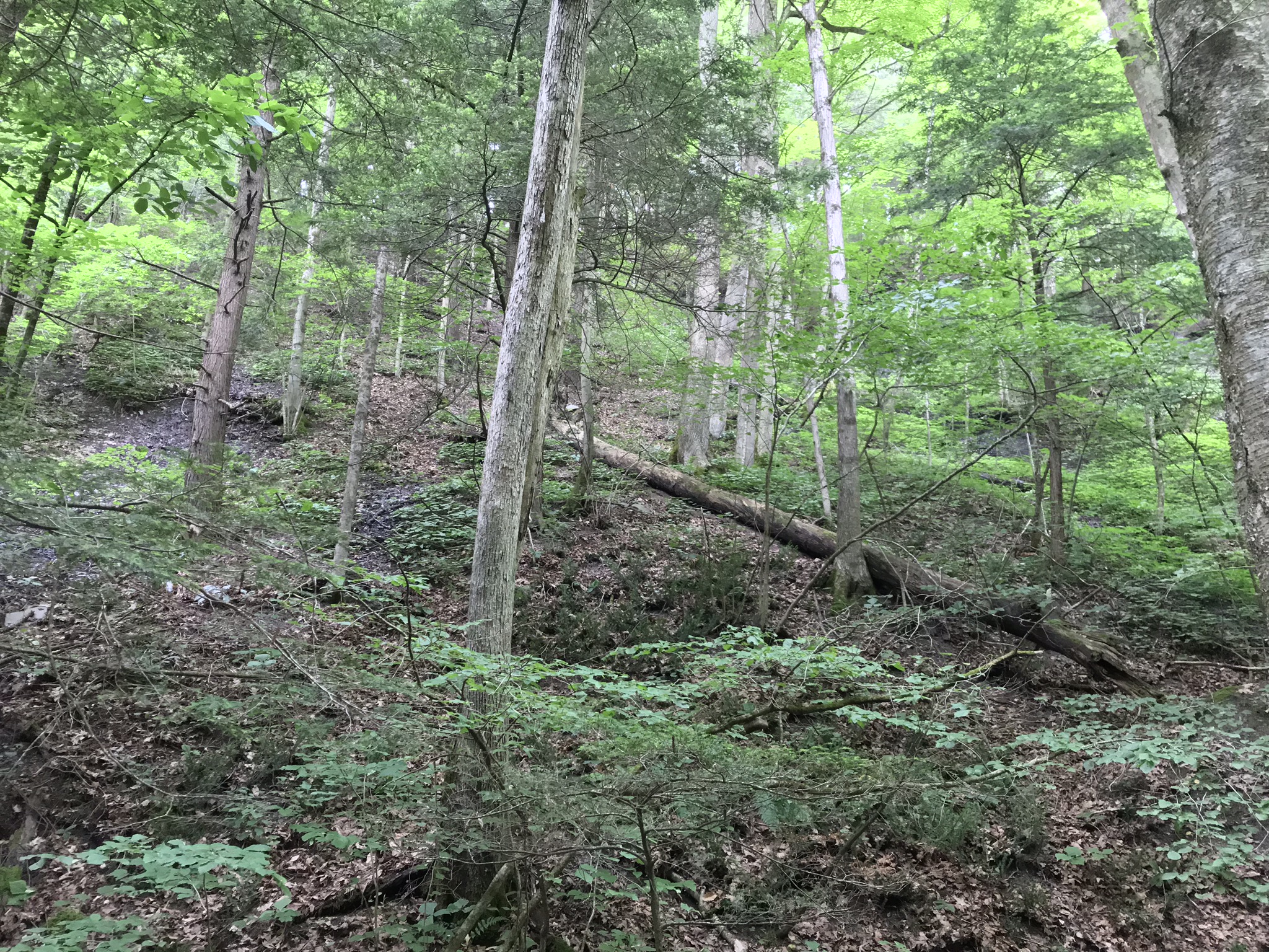
Gravity working toward disaster is seen as a constant infall, a slow rain of trees, left in place to rot over the course of a century.
Dying trees on unstable creek bank are cut before falling.
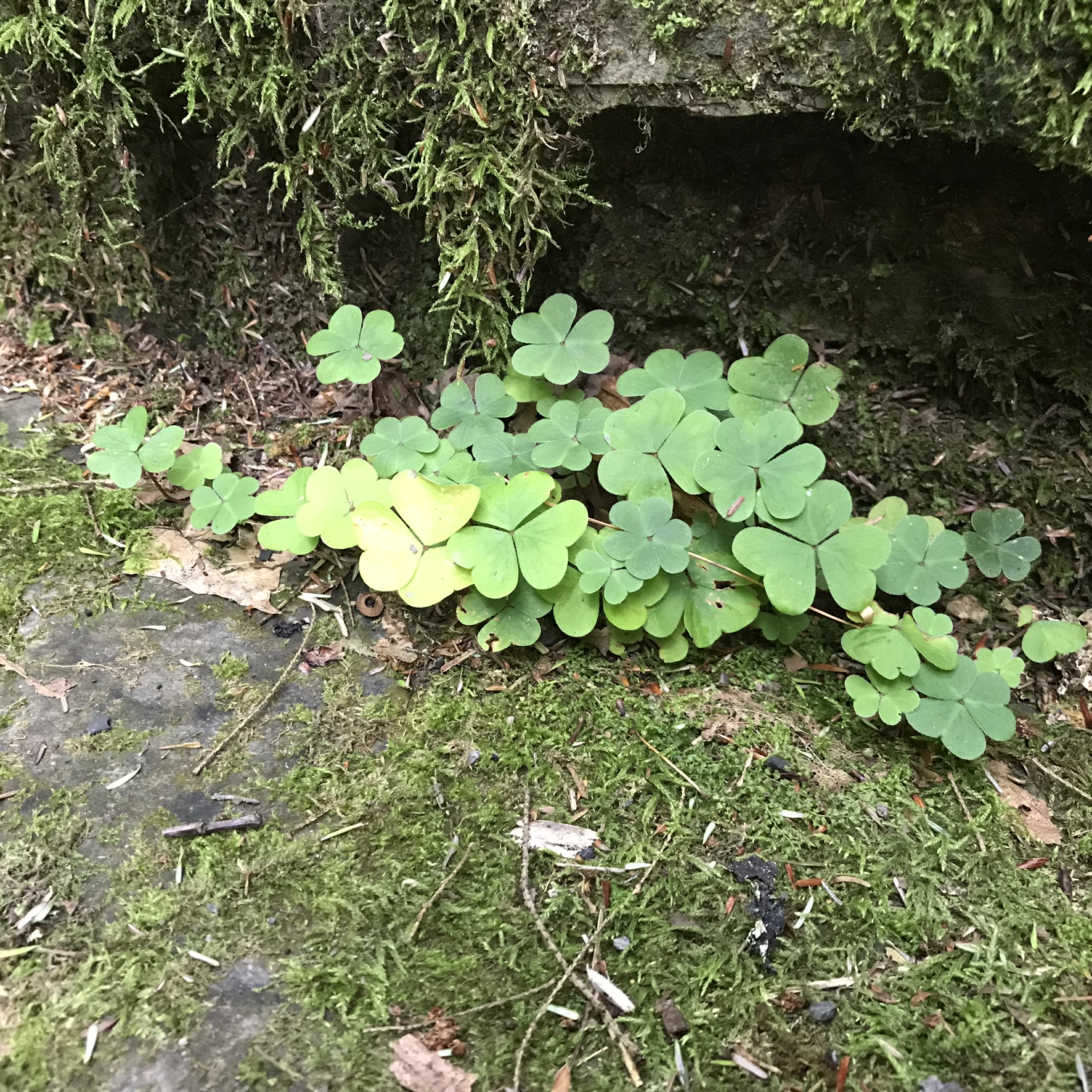
Beneath the infall, chaos, this wood sorrell took root on a shin high shale shelf among mosses. The taste of the plant is sour, leading to the name from the greek for “sour.” The family Oxalidaceae comprises 570 species. I till not venture to guess this one.
Also known as sourgrass and false shamrock, these grow on a thread of hope in a glimmer of sunlight.
Copyright 2022 Michael Stephen Wills All Rights Reserved
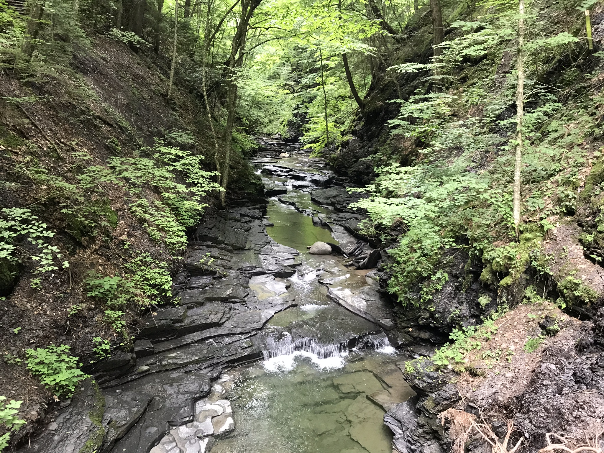
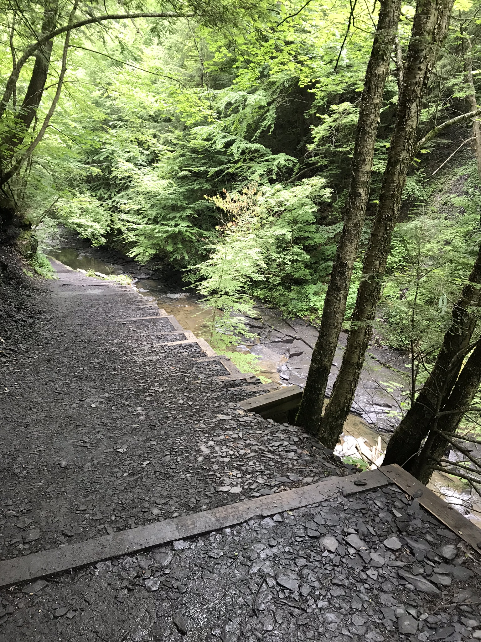
Gorge trails follows the path cut by Dry Creek through eons of multiple and various sedimentary rock. The work of the CCC crew (see “Presidents Millard Fillmore and F.D. Roosevelt”) makes it literally child’s play to negotiate a course otherwise impossible to do without getting soaking wet.
There were seven bridges, wooden over steel I-beams, we crossed today. The trail beyond bridge seven is closed due to hazardous conditions, don’t know what exactly. The gorge is plagued with landfalls. Much of the modern work is elaborate wooden supports of the land beneath the trail.
Delved Deep
Every step on the Gorge Trail is beneath 100+ foot walls, steep slopes held in place by the forest and every variety of native wildflower.
I took the following video from a zig-zag path over a difficult steam topography tamed by two bridges and limestone walls sourced from the stream bed.
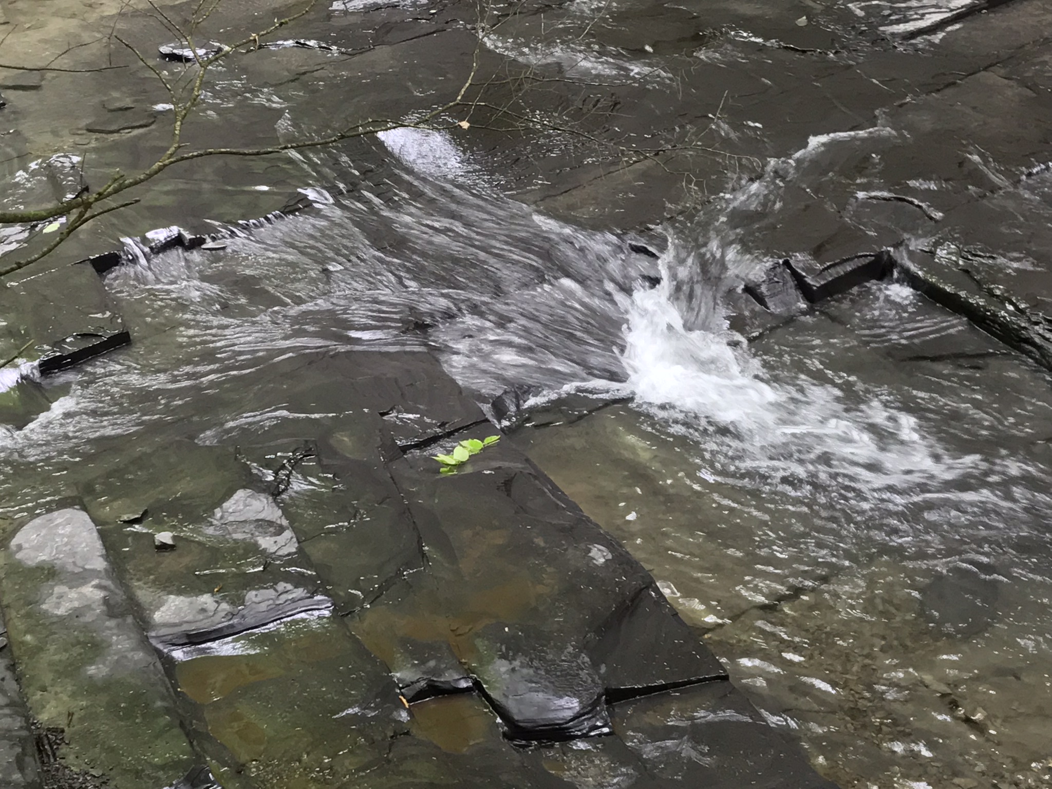
Evidence of Plate Tectonics
Above, is a view of the characteristic right angle faulting of the limestone base of Dry Creek, faulting produced when the North American plate pressed against the African plate, released, then after pivoting 90 degrees, pressed again against Africa before finally separating with the create of the Atlantic Ocean.
Copyright 2022 Michael Stephen Wills All Rights Reserved