Iquique Street Art and History

from the tour bus

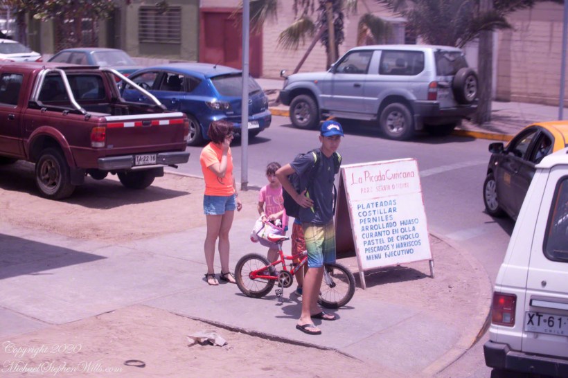
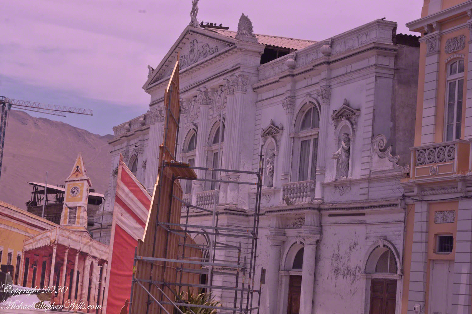
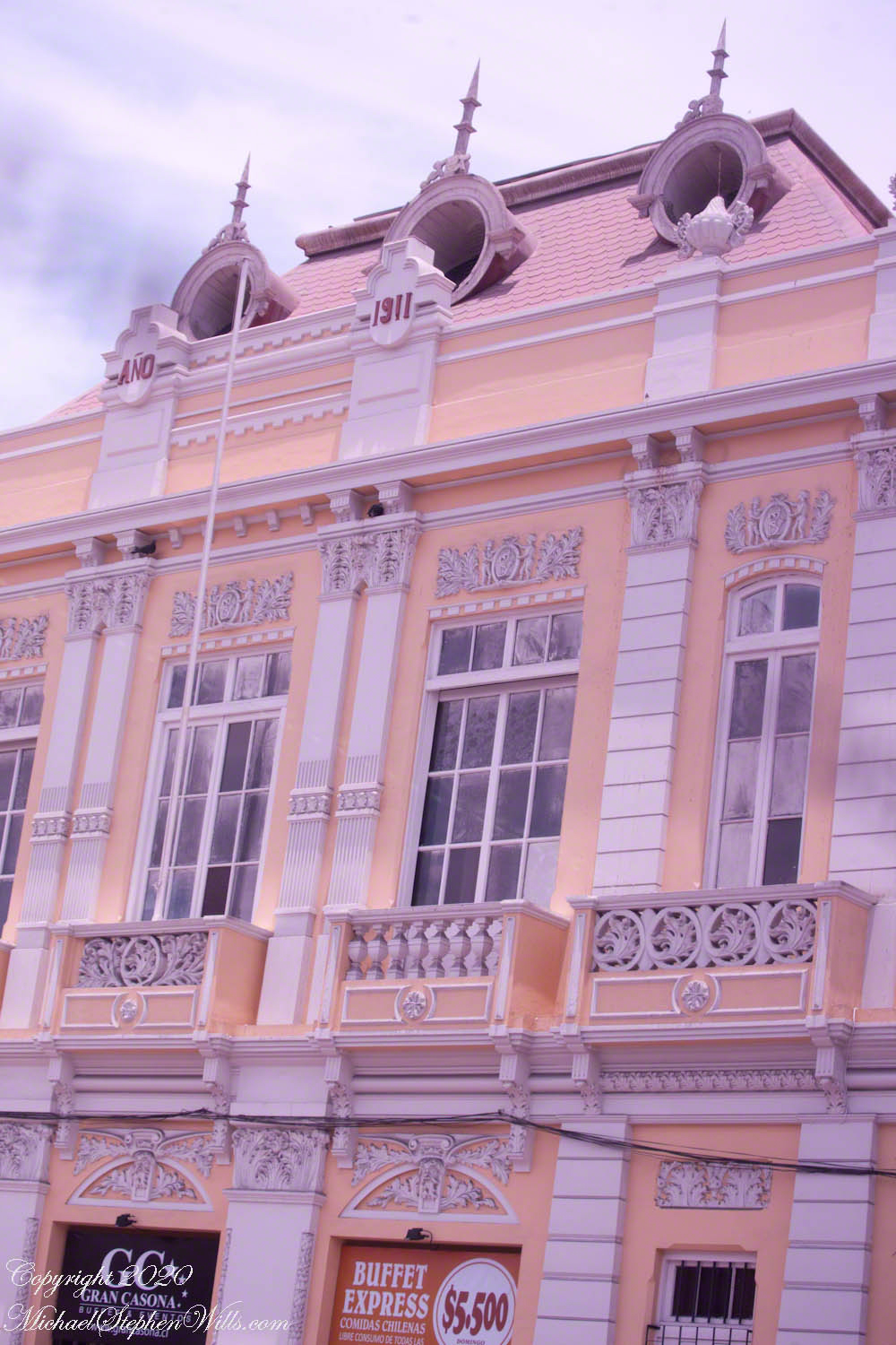
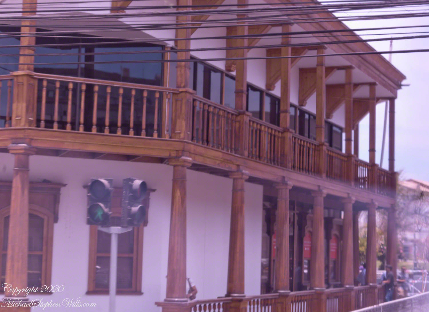
Aníbal Pinto is the street that passes the main square and theater, named for a President of Chile in the 19th Century during a time of crises, notably the War of the Pacific. Logging the Alerce tree was outlawed in 1976, even before then it was a luxury reserved for elite. Most buildings are of these masonry blocks, part of the Hotel Costa Norte, under construction at the corner of Manuel Bulnes. Mural art lined both corner surfaces. Some was apolitical, such as this colorful mandala surrounded by flowers, butterflies, bees on the east side of Aníbal Pinto.

Click any photograph for a larger view and use Ctrl-x to zoom in closer.

Simple Beauty with car for sale

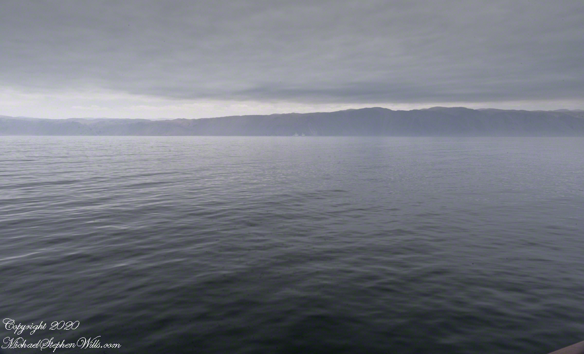
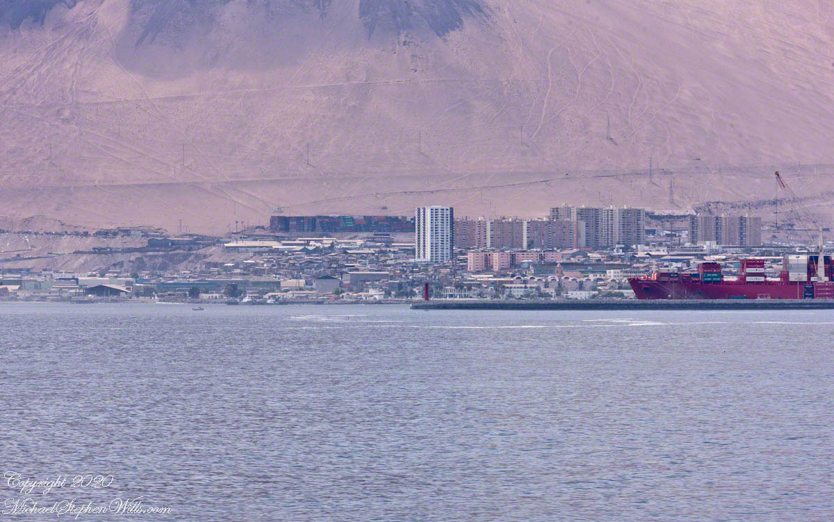
Turning east onto Manuel Bulnes (a street name) the Atacama desert escarpment comes into view above low concrete block structures (no highrises in sight). Outside the bus window is this political statement. The red brick painted, “DERRIBA” is Spanish “knock it down.” The red brick fallen away reveals suppressed speech, on left. The profile of the Chilean poet and statesman Pablo Neruda, his stylized speech transforming the dead landscape.

Knock Down the Wall, Let Poetry Flow

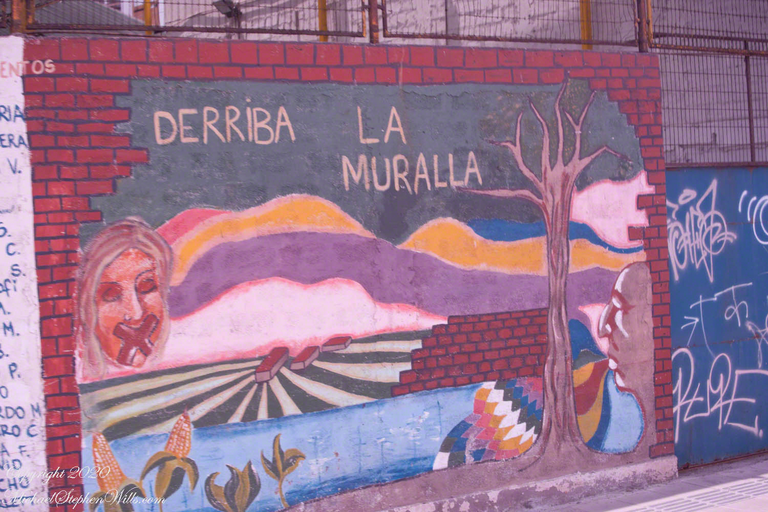
Manuel Bulnes, another 19th century Chilean president, was also a military officer who fought for Chilean independence from the Spanish.

A mural of unidentified pugilists, a solid left jab on a small street named for Oscar Bonilla, one of the main conspirators in the military coup against Salvador Allende. As Defense Minister, Bonilla went against Pinochet. Shortly after was killed in a mysterious helicopter crash.

Northeast corner of Manuel Bulnes and Oscar Bonilla

On a happier note…Santa Claus entering a chimney strung with lights.

Click me for the first post of this series.

References

Wikipedia – “Aníbal Pinto“, “Manuel Bulnes” , “Oscar Bonilla”, and “List of Presidents of Chile”

Copyright 2020 Michael Stephen Wills All Rights Reserved

19th Century Municipal Theater

Dinner and Theater

Fitzroya cupressoides is a tall, long lived evergreen tree. Also called Alerce, the forests covered large areas of the Chilean Andes. Alerce wood was the principle source of Colonial commerce between Chile and Peru and was heavily logged in the 19th and 20th Centuries. Alerce lumber was used to build, in 1889, the Municipal Theater on Auturo Prat plaza. Today the theater offers performances and hosts a School of Ballet.

Click any photograph for a larger view and use Ctrl-x to zoom in closer.

The legend of the theater includes the actress Sarah Bernhardt. After Iquique booked her performance Barnhardt’s uncharitable comments about the low quality of the venue (“It was a shed”) embarrassed the powers that be, who released their wealth to fund this late 19th century building from the height of saltpeter prosperity.

Another building of the theater complex with a great selection of dining choices

We turn east here, toward the desert escarpment. Here is a young family out for a bike ride. Interesting sign of local cuisine.

Vicente Zegers 204, Iquique, Tarapacá, Chile https://www.lapicadacuricana.cl/

Click me for the first post of this series.

Copyright 2020 Michael Stephen Wills All Rights Reserved

Arturo Prat Plaza

Another Hero

Shortly after the Maritime Government plaza is a crossroads with this interesting sign. The first line references two attractions. “ZOFRI” is the local abbreviation for the designation of Iquique as a port with tax advantages. The destination of this sign is a shopping mall. “Esmeralda” is the living museum I photographed from the tender. Our route to the Atacama desert took us through “Centro” with views of “Sur-Cavancha” on our ascension of the escarpment.

Click any photograph for a larger view and use Ctrl-x to zoom in closer.

Interesting destinations.

As we approach the central square, this local wonder is on the corner. Any wood must be acquired over long distances as little (close to nothing) grows locally.

A display of great wealth — a wood veranda.

Declared a National Historic Landmark on July 13, 1987 this Clock Tower, together with the buildings surrounding it in the plaza (the Municipal Theater of Iquique, the building of the Workers Welfare Society of Tarapacá, the Casino Español and the Club Croata) is one of the most representative urban expressions of the “Saltpeter Period”, a time which saw much foreign investment. Built 1878 when Iquique was Peru territory, the partition walls of Oregon pine wood, a clock mechanism from England. Saltpeter, a nitrogen rich deposit on the Atacama desert surface, brought thousands of poor workers to exploit the natural resource and to, in turn, be exploited.

I decided against straightening the tower, too much was lost in the process.

A pair of linear fountains run parallel to the road, framing the clock tower or theater depending on the point of view.

Click me for the first post of this series.

References

Wikipedia – “Zona Franca of Iquique” and “Clock Tower (Iquique).”

Copyright 2020 Michael Stephen Wills All Rights Reserved

Maritime Government

Another Hero

At the foot of the port island a Maritime Government building for the Iquique region. This and the other photographs of Iquique city were taken from the tour bus using a Canon dslr and the Canon EF 70 – 300 variable “zoom” lens.

Click any photograph for a larger view and use Ctrl-x to zoom in closer.

“Red, White and Blue” Note the brass ship’s bell on the left entrance column.

Shaped as it is, Chile needs an agency devoted to the coast. Littoral, the geographic term applied to this area of control. By definition of Chile it’s littoral begins “80 meters inland from the line of beach” to 200 miles from the point of low tide, a broad definition that works without too much conflict as, to the west, is the enormous Pacific Ocean. As with all countries there are interesting disagreements over maritime borders and rights at the borders. Chile and Argentina’s complex border in the far south among the islands and channels of Tierra del Fuego are legend.

“Flag of Chile” with two men on the steps clutching smart phones. Port security is apparent in the identification cards on lanyards.

Iquique is one of thirteen (13) Maritime Governorates. From north to south we can mention those of Arica, Iquique, Antofagasta, Coquimbo, Valparaíso, San Antonio, Talcahuano, Valdivia, Puerto Montt, Castro, Aysén, Punta Arenas and Navarino with the Chilean Antarctic Territory. Our cruise touches up, or passes through, all of them.

Facade

Larger than life busts of two Chilean heroes flank the entrance. We learned about Prat in an earlier post. While Captain Prat lost his life during the Battle of Iquique, Carlos Arnaldo Condell De La Haza, Captain of the schooner Virgen de Covadonga, escaped a larger and heavier gunned Peruvian ship, the armored frigate Independencia, sailing south.

Captain Condell, through tactics and seamanship, pinned the Independenia on a reef. The Covadonga blasted away until driven off by the monitor Huáscar. Condell went on to other naval successes and succumbed to illness at the young age of fourth four (44) years.

Click me for the first post of this series.

References

Wikipedia – “Carlos Arnaldo Condell De La Haza”

Click me for a spanish language pdf file on Chilean maritime governance.

Copyright 2020 Michael Stephen Wills All Rights Reserved

Kame = Pile

Kettle and Kame Topography

Hard on the defunct gravel pit of the northwest side of the preserve is the deposit of glacial rocks washed to some extent by melting ice the former owners of the pit were turning over for profit with the averted result of destroying the water sources for the ecosystems of the future preserve.

The deposit is called a kame. Kames are the obverse of kettles, formed with an enormous remnant of glacial ice melts in place leaving a substantial depression. A kame is formed when earth gathers in a depression formed by meltwater running over a glacial surface. When the glacier melts (in this area the ice wash a mile high), the washed earth is left as a steeply sided pile we experience as a hill.

Water flowing beneath glaciers forms the long, ridged hills, eskers, we explored in yesterday’s post.

The forested land of this video the kame, upper left, shown in the header, an IPhone7 photograph of GoogleEarth. Also marked is a path for the primary esker, the bog formed by a kettle and another kettle that is now a pond. Click me to view a pdf file saved from GoogleEarth. It provides a clearer view of the header image.

Click me for better experience viewing the following video. To do this from WordPress Reader, you need to first click the title of this post to open a new page. Note the replay icon (an arrow circling counter-clockwise.

Click Me for the first post of this series.

Thank You for visiting. Here is a recapitulation of Malloryville Preserve.

Copyright 2020 Michael Stephen Wills All Rights Reserved

Long, Ridged Hill

A Look at an Esker

Well formed, sinuous, graded on both sides, eskers can be mistaken for man-made earthen structures, such as railroad embankments. Here is an example, nine-tenths (0.9) of a mile long substantial enough to direct the flow of Fall Creek. On entering the Malloryville esker bed the stream makes a right angle turn.

Here we are at the foot of the primary esker of Malloryville Preserve (it is marked as such on the information placard of this series first post). The slope to the right is the esker. A swamp lies to the right.

This video provides a better feeling for this esker.

Click me for better experience viewing the following video. To do this from WordPress Reader, you need to first click the title of this post to open a new page. Note the replay icon (an arrow circling counter-clockwise.

Click Me for the first post of this series.

Copyright 2020 Michael Stephen Wills All Rights Reserved

Turtle Socks

Flowers from Mars

Two kettles of the preserve represent a pond and, below, a bog. Here is a photograph from the observation platform using the IPhone 7. I brought along the Canon dslr and 100 mm “macro” lens for the stars of this show…..

….purple pitcher plants (scientific name: Sarracenia purpurea). In past years, the central observation deck cut-out, hosted healthy pitchers. Today, invading high bush blueberries from the bog margin, crowded out the pitchers and the only flowering plant were among the grasses 8 to 10 feet away. My goal was photographing the extraordinary flowers.

Each flower rises from the base on a strong stalk. Here are the pitchers, also called “turtle socks”, flooded with sunlight.

A flower unlike any I have experienced, like the carapace of an insect, the reproductive element underneath a hood.

The posterior, there are only bracts.

I have, somewhere, macro images of the pitcher, with the downward facing hairs. Brought the wrong lens to capture this at a distance.

Click Me for the first post of this series.

Copyright 2020 Michael Stephen Wills All Rights Reserved

Flowing water

Water flowing from glacial till

Amazingly swamp, fen, bog, marsh can all be experienced during a thirty minute walk within this preserve. Here we are traversing a swamp …

…buoyed along on planking from recycled plastic.

The founders of this place, from a dairy farming family, strove for years to protect the water sources from encroachment by development, primary a duplicate of a gravel pit found on the other side of the Fall Creek valley.

This former acidic rainwater, percolating through glacial till, is buffered and chemically altered to create these multiform environments.

Water, flowing quietly, almost soundlessly, with powerful effect.

Click me for better experience viewing the following video. To do this from WordPress Reader, you need to first click the title of this post to open a new page. Note the replay icon (an arrow circling counter-clockwise.

Click Me for the first post of this series.

Copyright 2020 Michael Stephen Wills All Rights Reserved

Formed by Water

Overview

Let’s digress from our exploration of Iquique, Chile for this attraction local to the Finger Lakes Region of New York State, an environment diametrically opposed to the Atacama desert. The Preserve at Malloryville opened 1997, eleven years after we moved to our home our home on Fall Creek (see header photograph).

The correct name is the O.D. von Engeln Preserve at Malloryville. I knew this name from his Finger Lakes geology book obtained from the library and read closely in the early 1990’s. It helped me understand the landscape among which our home was set, in 5 minutes walking distance from the future location of the preserve.

The text from the above information placard at the preserve entrance says it all:“Wetland habitats are shaped by the water that supplies them: the amount, how it moves, and the minerals it carries. Malloryville’s eskers, kames and kettles control the rate of delivery of water to the surface and suffuse it with varied concentrations of minerals. As ground water bubbles to the surface at the base of these hills, distinctive wetland habitats form, each with its own unique community of plants. The preserve’s intense concentration of bog, fen, marsh and swamp habitats is the direct result of ground water moving through this unusually complex array of glacial features.

Before the preserve was opened I was familiar with the landforms described in the above placard. My son and I did his first camping on top of an esker outside our front door. We enjoyed hiking along Fall Creek.

To be continued…..

Copyright 2020 Michael Stephen Wills All Rights Reserved

Iquique first steps

On Dry Land

Our tour tickets and bus designation ( “number 2” ) firmly in hand, Pam and I walked the gangplank from the tender (see yesterday’s post), into the Iquique International Cruise terminal, then out to the sunshine to find out bus, following the crowd.

Click any photograph for a larger view and use Ctrl-x to zoom in closer.

Downtown High rises soar above downtown

Touring this way can feel link a rodent maze, it was not our feeling at all. The groups maxed at 15, the guides friendly and knowledgeable, the tour buses luxurious. We enjoyed ourselves immensely. Here we are, later that day, dressed for adventure.

Mike and Pam Wills on tour at the Pintados Geoglyphs, Tarapacá, Chile within the Atacama desert.

Our itinerary for the day is to navigate through the city, across the desert to visit a World Heritage Site, Humberstone, and ancient geoglyph sites, touching on local ecology.

Another view of the Cathedral of the Immaculate Conception among the downtown high-rises of Iquique.

Here is our tour, time to hop on the bus, get going.

Click me for the first post of this series.

Here is a slide show of our day so far.

Copyright 2020 Michael Stephen Wills All Rights Reserved